Storm library

Browse live and recent hail maps.

Review storm footprints, hail swaths, reports, and replay access. Create a free account to save your setup and move into map access when a storm matters.

Search filters
Clear
Newest storms first by default.
Don't see your storm? Request a qualifying storm map and we'll email you when it is ready.
Showing 193-216 of 2367 storms · Page 9 of 99
‹ 1 8 9 10 99 ›
Request a storm map

Tell us about the storm and we'll build the map. Once it's published you'll get an email and can purchase it from the library — just like any other event.

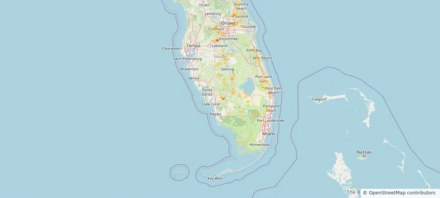
Lehigh Acres, FL — August 26, 2026 — regional hail footprint preview
Storm footprint preview

Local hail summary for the Lehigh Acres area: 0.90 square miles of estimated ground-hail footprint; highest mapped band 1.5+ inches. 0 official hail report(s) within the summary area. Exposure estimates are not confirmed property damage. Open the map to explore the full coverage included in your access. Statistics cover the mapped hail footprint inside the Census boundary of Lehigh Acres, FL, not the entire region. The place had 114,287 residents in the 2020 Census. A boundary intersection does not mean the whole community was hit. Estimated housing exposure: 77 units in 1-inch-or-larger bands, including 28 in 1.5-inch-or-larger bands and 0 in 2-inch-or-larger bands.

Affected states: Lehigh Acres area, FL
1.5+ inRadar size estimate 282Population Affected 101Houses Affected HailHazards FreeAccount signup
Mountain Brook, AL — August 26, 2026 — regional hail footprint preview
Storm footprint preview

Local hail summary for the Mountain Brook area: 2.09 square miles of estimated ground-hail footprint; highest mapped band 1+ inches. 0 official hail report(s) within the summary area. Exposure estimates are not confirmed property damage. Open the map to explore the full coverage included in your access. Statistics cover the mapped hail footprint inside the Census boundary of Mountain Brook, AL, not the entire region. The place had 22,461 residents in the 2020 Census. A boundary intersection does not mean the whole community was hit. Estimated housing exposure: 535 units in 1-inch-or-larger bands, including 0 in 1.5-inch-or-larger bands and 0 in 2-inch-or-larger bands.

Affected states: Mountain Brook area, AL
1+ inRadar size estimate 3,583Population Affected 1,238Houses Affected HailHazards FreeAccount signup
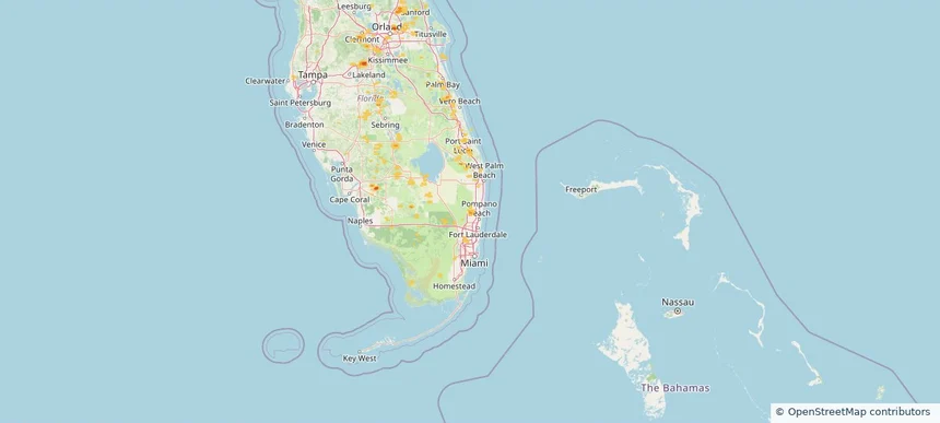
Parkland, FL — August 26, 2026 — regional hail footprint preview
Storm footprint preview

Local hail summary for the Parkland area: 1.91 square miles of estimated ground-hail footprint; highest mapped band 1+ inches. 0 official hail report(s) within the summary area. Exposure estimates are not confirmed property damage. Open the map to explore the full coverage included in your access. Statistics cover the mapped hail footprint inside the Census boundary of Parkland, FL, not the entire region. The place had 34,670 residents in the 2020 Census. A boundary intersection does not mean the whole community was hit. Estimated housing exposure: 133 units in 1-inch-or-larger bands, including 0 in 1.5-inch-or-larger bands and 0 in 2-inch-or-larger bands.

Affected states: Parkland area, FL
1+ inRadar size estimate 1,430Population Affected 445Houses Affected HailHazards FreeAccount signup
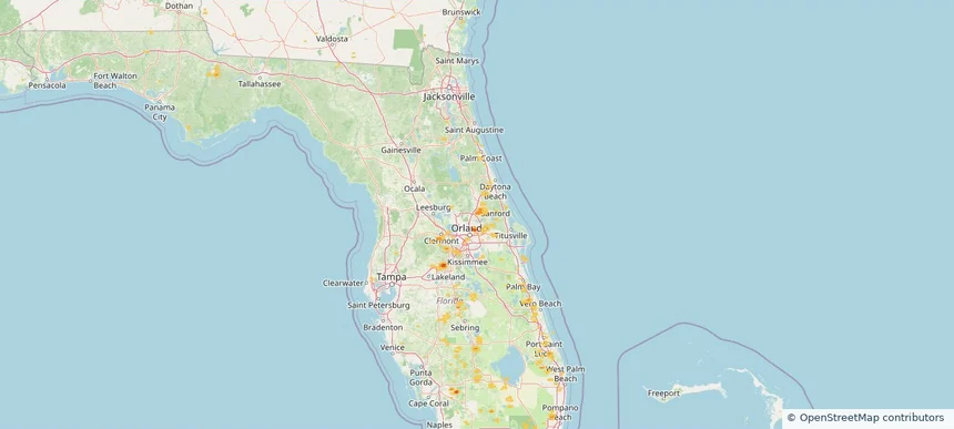
Sanford, FL — August 26, 2026 — regional hail footprint preview
Storm footprint preview

Local hail summary for the Sanford area: 4.54 square miles of estimated ground-hail footprint; highest mapped band 1+ inches. 0 official hail report(s) within the summary area. Exposure estimates are not confirmed property damage. Open the map to explore the full coverage included in your access. Statistics cover the mapped hail footprint inside the Census boundary of Sanford, FL, not the entire region. The place had 61,051 residents in the 2020 Census. A boundary intersection does not mean the whole community was hit. Estimated housing exposure: 671 units in 1-inch-or-larger bands, including 0 in 1.5-inch-or-larger bands and 0 in 2-inch-or-larger bands.

Affected states: Sanford area, FL
1+ inRadar size estimate 7,911Population Affected 3,587Houses Affected HailHazards FreeAccount signup
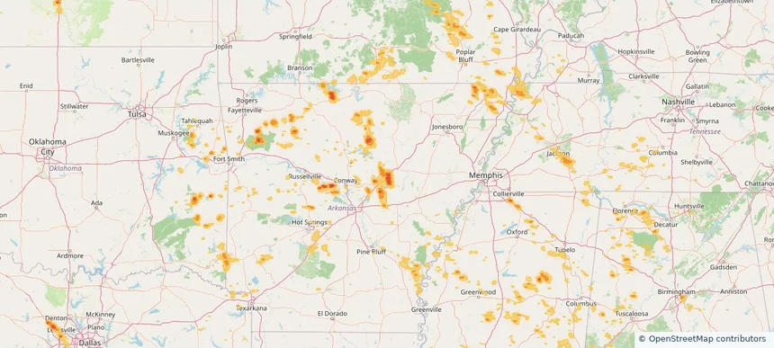
Searcy, AR — August 26, 2026 — regional hail footprint preview
Storm footprint preview

Local hail summary for the Searcy area: 12.70 square miles of estimated ground-hail footprint; highest mapped band 1.5+ inches. 0 official hail report(s) within the summary area. Exposure estimates are not confirmed property damage. Open the map to explore the full coverage included in your access. Statistics cover the mapped hail footprint inside the Census boundary of Searcy, AR, not the entire region. The place had 22,937 residents in the 2020 Census. A boundary intersection does not mean the whole community was hit. Estimated housing exposure: 5,726 units in 1-inch-or-larger bands, including 1,692 in 1.5-inch-or-larger bands and 0 in 2-inch-or-larger bands.

Affected states: Searcy area, AR
1.5+ inRadar size estimate 13,463Population Affected 5,994Houses Affected HailHazards FreeAccount signup
Wichita, KS — August 26, 2026 — regional hail footprint preview
Storm footprint preview

Local hail summary for the Wichita area: 6.82 square miles of estimated ground-hail footprint; highest mapped band 1.5+ inches. 0 official hail report(s) within the summary area. Exposure estimates are not confirmed property damage. Open the map to explore the full coverage included in your access. Statistics cover the mapped hail footprint inside the Census boundary of Wichita, KS, not the entire region. The place had 397,532 residents in the 2020 Census. A boundary intersection does not mean the whole community was hit. Estimated housing exposure: 4,203 units in 1-inch-or-larger bands, including 512 in 1.5-inch-or-larger bands and 0 in 2-inch-or-larger bands.

Affected states: Wichita area, KS
1.5+ inRadar size estimate 13,465Population Affected 5,546Houses Affected HailHazards FreeAccount signup
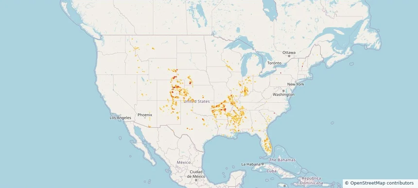
Nationwide Daily Hail & Wind Map - August 26, 2026 — regional hail footprint preview
Storm footprint preview
Aug 25, 2026 10:00 PM to Aug 27, 2026 1:45 AM CST

Nationwide Daily Hail & Wind Map - August 26, 2026

Hail as large as 2.50 inches was reported near 12 miles northeast of North Cheyenne, WY. Wind up to 84 mph was reported near 8 miles south of Sibley Peak, WY. The storm had 28 official hail reports.

Affected states: National, AL, AZ, AR, CO, FL, ID, IL, IN, KS, KY, LA, MI, MN, MS, MO, MT, NE, NH, NM, OH, OK, TN, TX, UT, WI, WY
3.0 inRadar size estimate 900,599Population Affected 374,590Houses Affected Hail · WindHazards FreeAccount signup
Bluffton, SC — August 25, 2026 — regional hail footprint preview
Storm footprint preview

Local hail summary for the Bluffton area: 4.89 square miles of estimated ground-hail footprint; highest mapped band 1+ inches. 0 official hail report(s) within the summary area. Exposure estimates are not confirmed property damage. Open the map to explore the full coverage included in your access. Statistics cover the mapped hail footprint inside the Census boundary of Bluffton, SC, not the entire region. The place had 27,716 residents in the 2020 Census. A boundary intersection does not mean the whole community was hit. Estimated housing exposure: 588 units in 1-inch-or-larger bands, including 0 in 1.5-inch-or-larger bands and 0 in 2-inch-or-larger bands.

Affected states: Bluffton area, SC
1+ inRadar size estimate 5,911Population Affected 2,418Houses Affected HailHazards FreeAccount signup
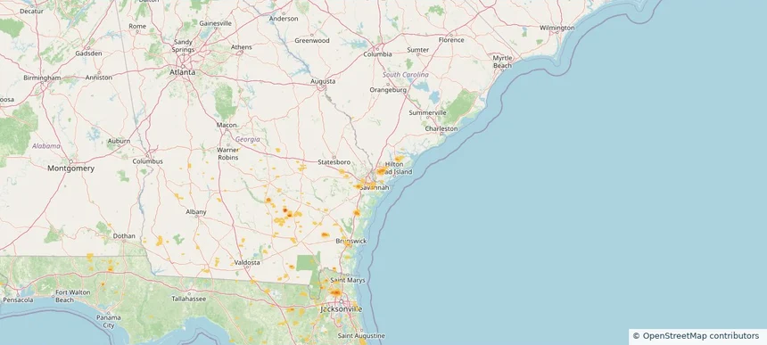
Jacksonville, FL — August 25, 2026 — regional hail footprint preview
Storm footprint preview

Local hail summary for the Jacksonville area: 14.87 square miles of estimated ground-hail footprint; highest mapped band 1.5+ inches. 0 official hail report(s) within the summary area. Exposure estimates are not confirmed property damage. Open the map to explore the full coverage included in your access. Statistics cover the mapped hail footprint inside the Census boundary of Jacksonville, FL, not the entire region. The place had 949,611 residents in the 2020 Census. A boundary intersection does not mean the whole community was hit. Estimated housing exposure: 2,986 units in 1-inch-or-larger bands, including 0 in 1.5-inch-or-larger bands and 0 in 2-inch-or-larger bands.

Affected states: Jacksonville area, FL
1.5+ inRadar size estimate 12,221Population Affected 4,742Houses Affected HailHazards FreeAccount signup
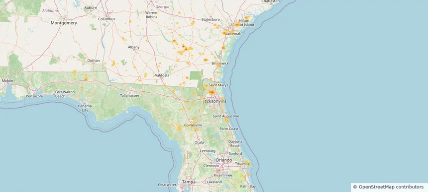
Nationwide Daily Hail & Wind Map - August 25, 2026 — regional hail footprint preview
Storm footprint preview
Aug 24, 2026 10:00 PM to Aug 26, 2026 1:45 AM CST

Nationwide Daily Hail & Wind Map - August 25, 2026

Hail as large as 3.00 inches was reported near Gould, OK. Wind up to 97 mph was reported near 1 mile east of Clayton, NM. The storm had 16 official hail reports.

Affected states: National, AL, CA, CO, FL, GA, ID, KS, LA, MN, MT, NE, NV, NM, ND, OK, SC, SD, TX, UT, WI, WY
3.5 inRadar size estimate 240,505Population Affected 109,890Houses Affected Hail · WindHazards FreeAccount signup
Baton Rouge, LA — August 24, 2026 — regional hail footprint preview
Storm footprint preview

Local hail summary for the Baton Rouge area: 3.44 square miles of estimated ground-hail footprint; highest mapped band 1+ inches. 0 official hail report(s) within the summary area. Exposure estimates are not confirmed property damage. Open the map to explore the full coverage included in your access. Statistics cover the mapped hail footprint inside the Census boundary of Baton Rouge, LA, not the entire region. The place had 227,470 residents in the 2020 Census. A boundary intersection does not mean the whole community was hit. Estimated housing exposure: 2,525 units in 1-inch-or-larger bands, including 0 in 1.5-inch-or-larger bands and 0 in 2-inch-or-larger bands.

Affected states: Baton Rouge area, LA
1+ inRadar size estimate 12,217Population Affected 4,765Houses Affected HailHazards FreeAccount signup
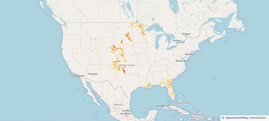
Kenner, LA — August 24, 2026 — regional hail footprint preview
Storm footprint preview

Local hail summary for the Kenner area: 0.22 square miles of estimated ground-hail footprint; highest mapped band 1+ inches. 0 official hail report(s) within the summary area. Exposure estimates are not confirmed property damage. Open the map to explore the full coverage included in your access. Statistics cover the mapped hail footprint inside the Census boundary of Kenner, LA, not the entire region. The place had 66,448 residents in the 2020 Census. A boundary intersection does not mean the whole community was hit. Estimated housing exposure: 359 units in 1-inch-or-larger bands, including 0 in 1.5-inch-or-larger bands and 0 in 2-inch-or-larger bands.

Affected states: Kenner area, LA
1+ inRadar size estimate 819Population Affected 408Houses Affected HailHazards FreeAccount signup
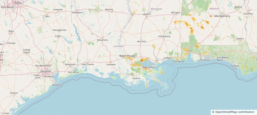
Metairie, LA — August 24, 2026 — regional hail footprint preview
Storm footprint preview

Local hail summary for the Metairie area: 0.57 square miles of estimated ground-hail footprint; highest mapped band 1+ inches. 0 official hail report(s) within the summary area. Exposure estimates are not confirmed property damage. Open the map to explore the full coverage included in your access. Statistics cover the mapped hail footprint inside the Census boundary of Metairie, LA, not the entire region. The place had 143,507 residents in the 2020 Census. A boundary intersection does not mean the whole community was hit. Estimated housing exposure: 343 units in 1-inch-or-larger bands, including 0 in 1.5-inch-or-larger bands and 0 in 2-inch-or-larger bands.

Affected states: Metairie area, LA
1+ inRadar size estimate 3,323Population Affected 1,521Houses Affected HailHazards FreeAccount signup
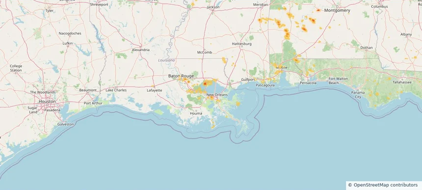
River Ridge, LA — August 24, 2026 — regional hail footprint preview
Storm footprint preview

Local hail summary for the River Ridge area: 1.79 square miles of estimated ground-hail footprint; highest mapped band 1+ inches. 0 official hail report(s) within the summary area. Exposure estimates are not confirmed property damage. Open the map to explore the full coverage included in your access. Statistics cover the mapped hail footprint inside the Census boundary of River Ridge, LA, not the entire region. The place had 13,591 residents in the 2020 Census. A boundary intersection does not mean the whole community was hit. Estimated housing exposure: 2,380 units in 1-inch-or-larger bands, including 0 in 1.5-inch-or-larger bands and 0 in 2-inch-or-larger bands.

Affected states: River Ridge area, LA
1+ inRadar size estimate 6,892Population Affected 3,494Houses Affected HailHazards FreeAccount signup
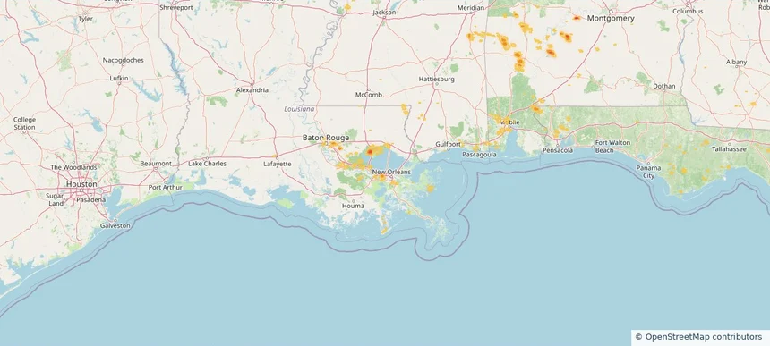
Nationwide Daily Hail, Wind & Tornado Map - August 24, 2026 — regional hail footprint preview
Storm footprint preview
Aug 23, 2026 10:00 PM to Aug 25, 2026 1:45 AM CST

Nationwide Daily Hail, Wind & Tornado Map - August 24, 2026

Hail as large as 3.25 inches was reported near 2 miles northwest of Tolna, ND. Wind up to 89 mph was reported near 5 miles west of Wishek, ND. A tornado was reported near 4 miles north-northwest of Atlantic, NC. The storm had 6 official hail reports.

Affected states: National, AL, AZ, AR, FL, GA, ID, LA, ME, MN, MS, NE, NV, NY, NC, ND, OR, PA, SC, SD, TX, UT, WY
3.5 inRadar size estimate 279,529Population Affected 127,320Houses Affected Hail · Wind · TornadoHazards FreeAccount signup
Nogales, AZ — August 23, 2026 — regional hail footprint preview
Storm footprint preview

Local hail summary for the Nogales area: 1.39 square miles of estimated ground-hail footprint; highest mapped band 1+ inches. 0 official hail report(s) within the summary area. Exposure estimates are not confirmed property damage. Open the map to explore the full coverage included in your access. Statistics cover the mapped hail footprint inside the Census boundary of Nogales, AZ, not the entire region. The place had 19,770 residents in the 2020 Census. A boundary intersection does not mean the whole community was hit. Estimated housing exposure: 108 units in 1-inch-or-larger bands, including 0 in 1.5-inch-or-larger bands and 0 in 2-inch-or-larger bands.

Affected states: Nogales area, AZ
1+ inRadar size estimate 1,569Population Affected 620Houses Affected HailHazards FreeAccount signup
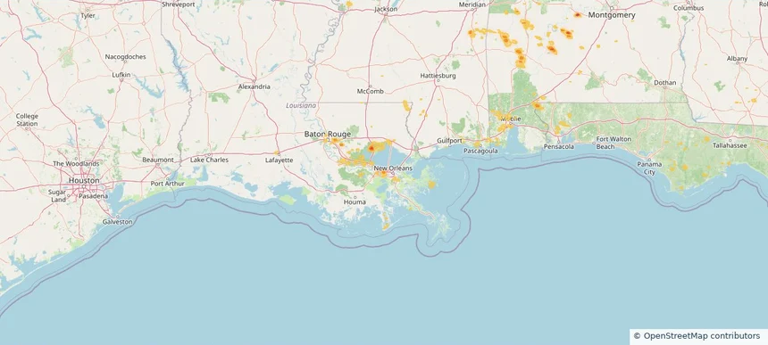
Palm Beach Gardens, FL — August 23, 2026 — regional hail footprint preview
Storm footprint preview

Local hail summary for the Palm Beach Gardens area: 12.00 square miles of estimated ground-hail footprint; highest mapped band 1+ inches. 0 official hail report(s) within the summary area. Exposure estimates are not confirmed property damage. Open the map to explore the full coverage included in your access. Statistics cover the mapped hail footprint inside the Census boundary of Palm Beach Gardens, FL, not the entire region. The place had 59,182 residents in the 2020 Census. A boundary intersection does not mean the whole community was hit. Estimated housing exposure: 4,499 units in 1-inch-or-larger bands, including 0 in 1.5-inch-or-larger bands and 0 in 2-inch-or-larger bands.

Affected states: Palm Beach Gardens area, FL
1+ inRadar size estimate 13,187Population Affected 6,735Houses Affected HailHazards FreeAccount signup
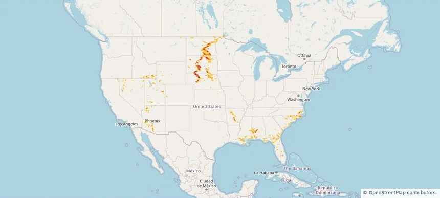
Nationwide Daily Hail, Wind & Tornado Map - August 23, 2026 — regional hail footprint preview
Storm footprint preview
Aug 22, 2026 10:00 PM to Aug 24, 2026 1:45 AM CST

Nationwide Daily Hail, Wind & Tornado Map - August 23, 2026

Hail as large as 1.75 inches was reported near 10 miles south-southwest of Reva, SD. Wind up to 86 mph was reported near 2 miles west-northwest of Malta, MT. A tornado was reported near 5 miles east-northeast of Sorum, SD. The storm had 13 official hail reports.

Affected states: National, AL, AZ, CA, CO, FL, ID, LA, MS, MT, NE, NV, NM, NC, ND, OH, PA, SC, SD, TN, TX, UT, WA, WY
3.0 inRadar size estimate 225,924Population Affected 98,035Houses Affected Hail · Wind · TornadoHazards FreeAccount signup
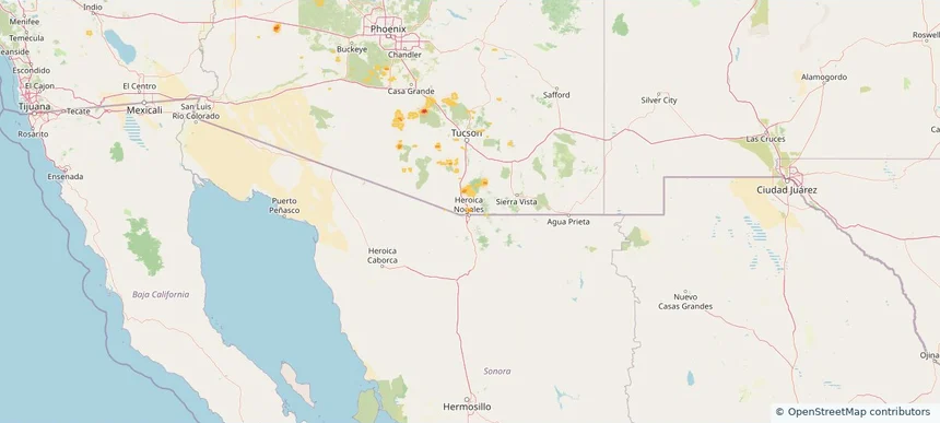
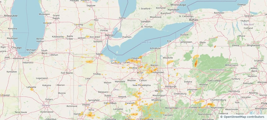
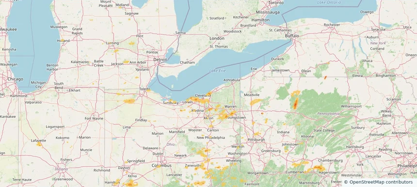
Avon Lake, OH — August 22, 2026 — regional hail footprint preview
Storm footprint preview

Local hail summary for the Avon Lake area: 10.00 square miles of estimated ground-hail footprint; highest mapped band 1+ inches. 0 official hail report(s) within the summary area. Exposure estimates are not confirmed property damage. Open the map to explore the full coverage included in your access. Statistics cover the mapped hail footprint inside the Census boundary of Avon Lake, OH, not the entire region. The place had 25,206 residents in the 2020 Census. A boundary intersection does not mean the whole community was hit. Estimated housing exposure: 365 units in 1-inch-or-larger bands, including 0 in 1.5-inch-or-larger bands and 0 in 2-inch-or-larger bands.

Affected states: Avon Lake area, OH
1+ inRadar size estimate 24,260Population Affected 10,351Houses Affected HailHazards FreeAccount signup
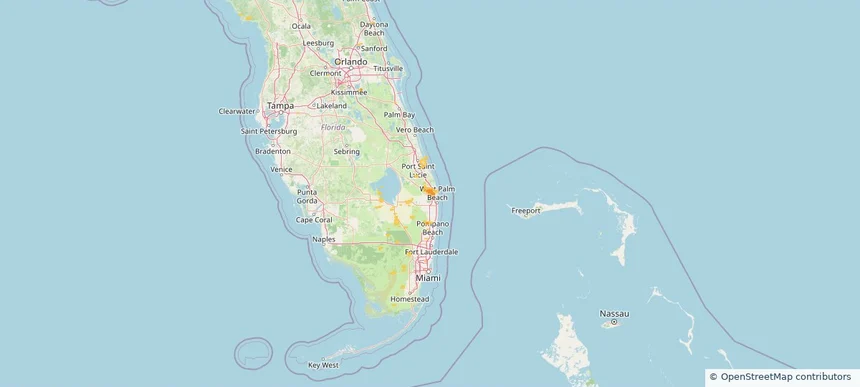
Bay Village, OH — August 22, 2026 — regional hail footprint preview
Storm footprint preview

Local hail summary for the Bay Village area: 2.29 square miles of estimated ground-hail footprint; highest mapped band 1+ inches. 0 official hail report(s) within the summary area. Exposure estimates are not confirmed property damage. Open the map to explore the full coverage included in your access. Statistics cover the mapped hail footprint inside the Census boundary of Bay Village, OH, not the entire region. The place had 16,163 residents in the 2020 Census. A boundary intersection does not mean the whole community was hit. Estimated housing exposure: 1,406 units in 1-inch-or-larger bands, including 0 in 1.5-inch-or-larger bands and 0 in 2-inch-or-larger bands.

Affected states: Bay Village area, OH
1+ inRadar size estimate 8,028Population Affected 3,498Houses Affected HailHazards FreeAccount signup
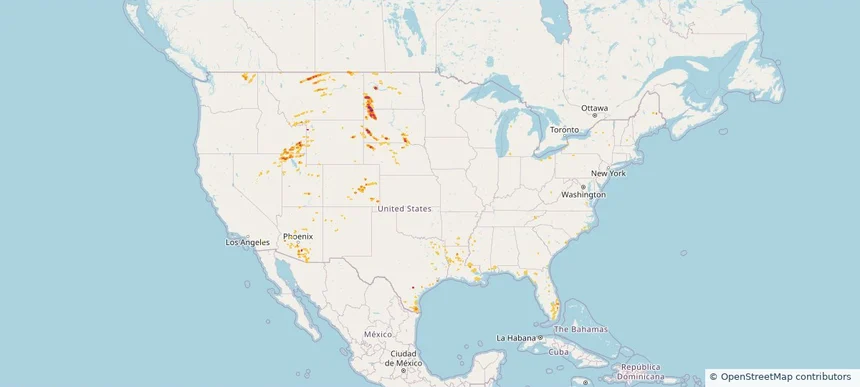
Brighton, CO — August 22, 2026 — regional hail footprint preview
Storm footprint preview

Local hail summary for the Brighton area: 10.14 square miles of estimated ground-hail footprint; highest mapped band 1+ inches. 2 official hail report(s) within the summary area. Exposure estimates are not confirmed property damage. Open the map to explore the full coverage included in your access. Statistics cover the mapped hail footprint inside the Census boundary of Brighton, CO, not the entire region. The place had 40,083 residents in the 2020 Census. A boundary intersection does not mean the whole community was hit. Estimated housing exposure: 2,035 units in 1-inch-or-larger bands, including 0 in 1.5-inch-or-larger bands and 0 in 2-inch-or-larger bands.

Affected states: Brighton area, CO
1+ inRadar size estimate 22,613Population Affected 7,555Houses Affected HailHazards FreeAccount signup
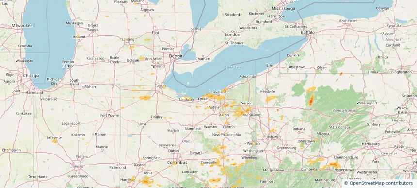
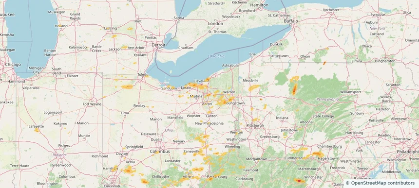
Euclid, OH — August 22, 2026 — regional hail footprint preview
Storm footprint preview

Local hail summary for the Euclid area: 3.20 square miles of estimated ground-hail footprint; highest mapped band 1+ inches. 1 official hail report(s) within the summary area. Exposure estimates are not confirmed property damage. Open the map to explore the full coverage included in your access. Statistics cover the mapped hail footprint inside the Census boundary of Euclid, OH, not the entire region. The place had 49,692 residents in the 2020 Census. A boundary intersection does not mean the whole community was hit. Estimated housing exposure: 2,277 units in 1-inch-or-larger bands, including 0 in 1.5-inch-or-larger bands and 0 in 2-inch-or-larger bands.

Affected states: Euclid area, OH
1+ inRadar size estimate 15,695Population Affected 8,055Houses Affected HailHazards FreeAccount signup
Hudson, OH — August 22, 2026 — regional hail footprint preview
Storm footprint preview

Local hail summary for the Hudson area: 7.54 square miles of estimated ground-hail footprint; highest mapped band 1+ inches. 0 official hail report(s) within the summary area. Exposure estimates are not confirmed property damage. Open the map to explore the full coverage included in your access. Statistics cover the mapped hail footprint inside the Census boundary of Hudson, OH, not the entire region. The place had 23,110 residents in the 2020 Census. A boundary intersection does not mean the whole community was hit. Estimated housing exposure: 1,474 units in 1-inch-or-larger bands, including 0 in 1.5-inch-or-larger bands and 0 in 2-inch-or-larger bands.

Affected states: Hudson area, OH
1+ inRadar size estimate 9,115Population Affected 3,601Houses Affected HailHazards FreeAccount signup
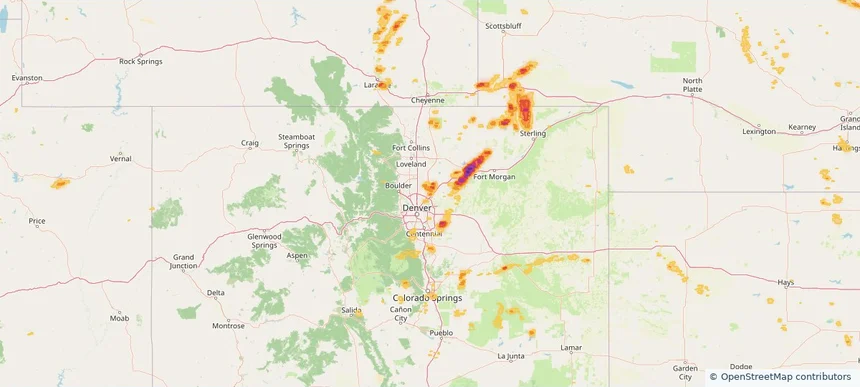
Rocky River, OH — August 22, 2026 — regional hail footprint preview
Storm footprint preview

Local hail summary for the Rocky River area: 1.72 square miles of estimated ground-hail footprint; highest mapped band 1+ inches. 0 official hail report(s) within the summary area. Exposure estimates are not confirmed property damage. Open the map to explore the full coverage included in your access. Statistics cover the mapped hail footprint inside the Census boundary of Rocky River, OH, not the entire region. The place had 21,755 residents in the 2020 Census. A boundary intersection does not mean the whole community was hit. Estimated housing exposure: 591 units in 1-inch-or-larger bands, including 0 in 1.5-inch-or-larger bands and 0 in 2-inch-or-larger bands.

Affected states: Rocky River area, OH
1+ inRadar size estimate 5,884Population Affected 2,973Houses Affected HailHazards FreeAccount signup
Page 9 of 99
‹ 1 8 9 10 99 ›

Frequently asked questions

Can I search hail maps by coverage area?

Yes. The storm library supports coverage-area filtering so you can find hail maps and hail swaths in a target service area.

What kinds of storms appear in the HailMapr library?

The library focuses on published hail events, including ready storm maps and live storms once hail has been detected and a public swath is available.

Are HailMapr storm pages useful for roofers and adjusters?

Yes. They are built to help roofers, adjusters, restoration teams, and property owners review storm footprints before purchase.