Storm library

Browse live and recent hail maps.

Review storm footprints, hail swaths, reports, and replay access. Create a free account to save your setup and move into map access when a storm matters.

Search filters
Clear
Newest storms first by default.
Don't see your storm? Request a qualifying storm map and we'll email you when it is ready.
Showing 1-24 of 2339 storms · Page 1 of 98
‹ 1 2 98 ›
Request a storm map

Tell us about the storm and we'll build the map. Once it's published you'll get an email and can purchase it from the library — just like any other event.

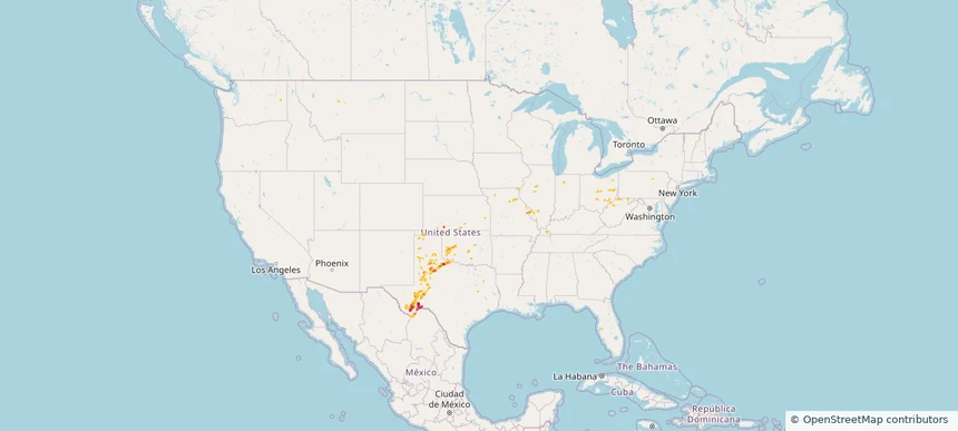
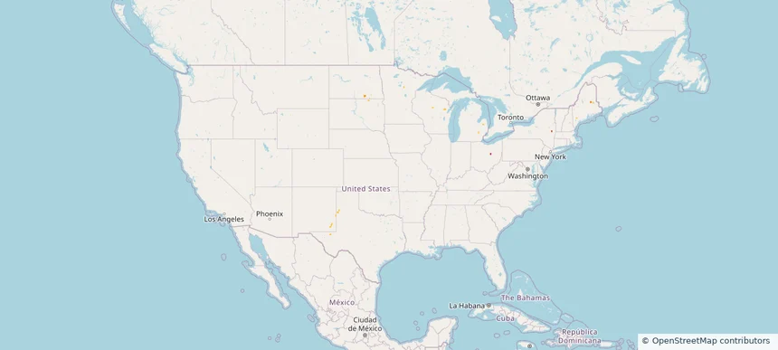
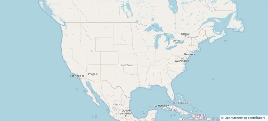
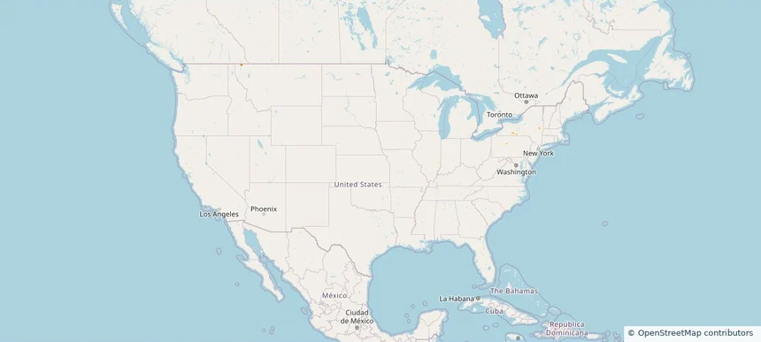
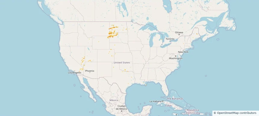
Nationwide Daily Hail, Wind & Tornado Map - October 14, 2026 — regional hail footprint preview
Storm footprint preview
Oct 13, 2026 10:00 PM to Oct 15, 2026 2:00 AM CST

Nationwide Daily Hail, Wind & Tornado Map - October 14, 2026

Hail as large as 1.75 inches was reported near 4 miles southwest of Crowell, TX. Wind up to 86 mph was reported near Stanton, TX. 3 tornadoes were reported, including one near 1 mile south-southeast of Fort Stockton, TX. The storm had 1 hail report.

Affected states: National, IL, IN, KS, MO, NY, OH, OK, PA, TX, WV
3.0 inRadar size estimate 125,024Population Affected 58,088Houses Affected Hail · Wind · TornadoHazards FreeAccount signup
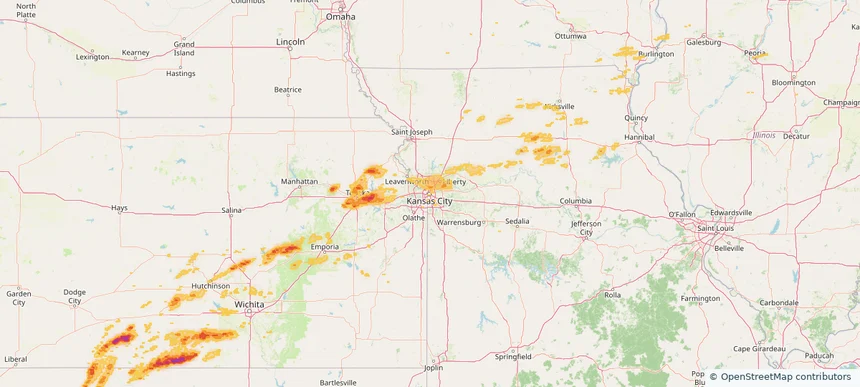
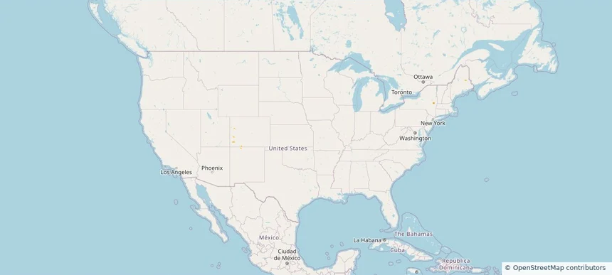
Kansas City, MO — October 13, 2026 — regional hail footprint preview
Storm footprint preview

Local hail summary for the Kansas City area: 6.23 square miles of estimated ground-hail footprint; highest mapped band 1+ inches. 0 official hail report(s) within the summary area. Exposure estimates are not confirmed property damage. Open the map to explore the full coverage included in your access. Statistics cover the mapped hail footprint inside the Census boundary of Kansas City, MO, not the entire region. The place had 508,090 residents in the 2020 Census. A boundary intersection does not mean the whole community was hit. Estimated housing exposure: 3,623 units in 1-inch-or-larger bands, including 0 in 1.5-inch-or-larger bands and 0 in 2-inch-or-larger bands.

Affected states: Kansas City area, MO
1+ inRadar size estimate 16,094Population Affected 7,151Houses Affected HailHazards FreeAccount signup
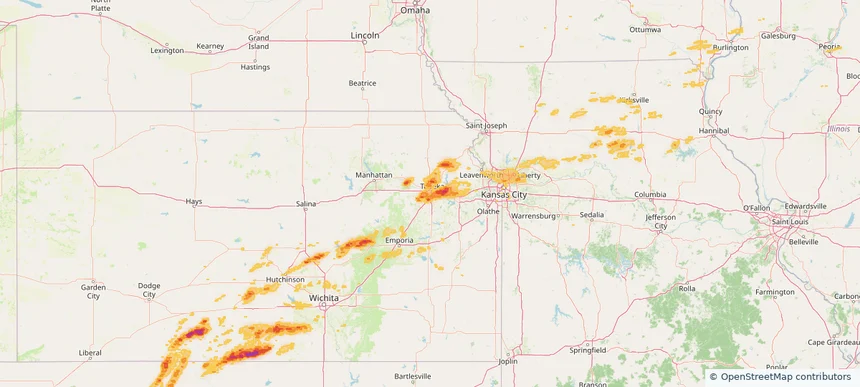
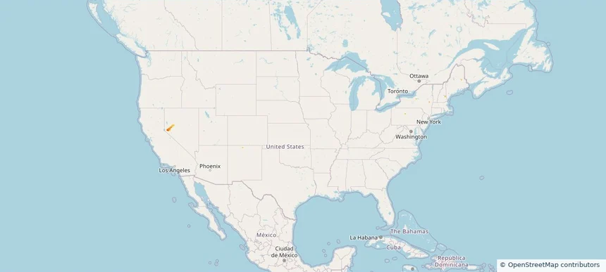
Topeka, KS — October 13, 2026 — regional hail footprint preview
Storm footprint preview

Local hail summary for the Topeka area: 23.99 square miles of estimated ground-hail footprint; highest mapped band 1+ inches. 3 official hail report(s) within the summary area. Exposure estimates are not confirmed property damage. Open the map to explore the full coverage included in your access. Statistics cover the mapped hail footprint inside the Census boundary of Topeka, KS, not the entire region. The place had 126,587 residents in the 2020 Census. A boundary intersection does not mean the whole community was hit. Estimated housing exposure: 17,902 units in 1-inch-or-larger bands, including 0 in 1.5-inch-or-larger bands and 0 in 2-inch-or-larger bands.

Affected states: Topeka area, KS
1+ inRadar size estimate 55,905Population Affected 24,952Houses Affected HailHazards FreeAccount signup

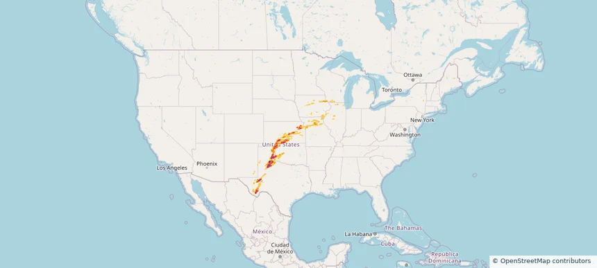
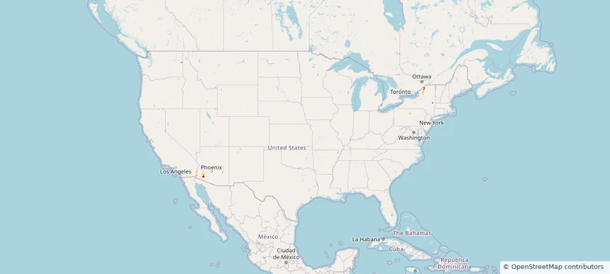
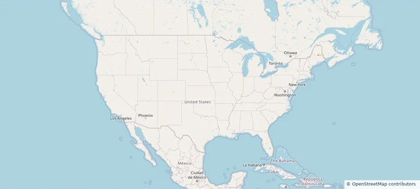
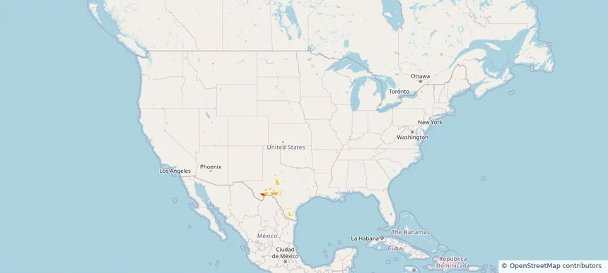
Nationwide Daily Hail, Wind & Tornado Map - October 13, 2026 — regional hail footprint preview
Storm footprint preview
Oct 12, 2026 10:00 PM to Oct 14, 2026 2:00 AM CST

Nationwide Daily Hail, Wind & Tornado Map - October 13, 2026

Hail as large as 65.00 inches was reported near 3 miles west of Goodlett, TX. Wind up to 101 mph was reported near 3 miles west of Goodlett, TX. A tornado was reported near 2 miles west of Hardtner, KS. The storm had 15 official hail reports.

Affected states: National, IL, IA, KS, MO, NM, OH, OK, TX, WI
4.25 inRadar size estimate 536,409Population Affected 234,111Houses Affected Hail · Wind · TornadoHazards FreeAccount signup
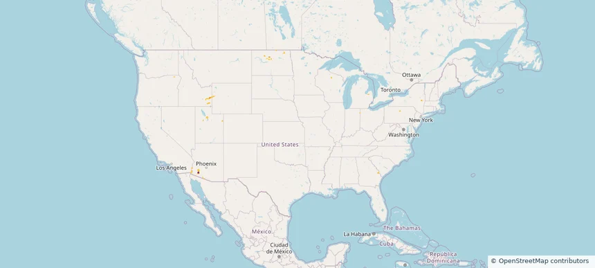
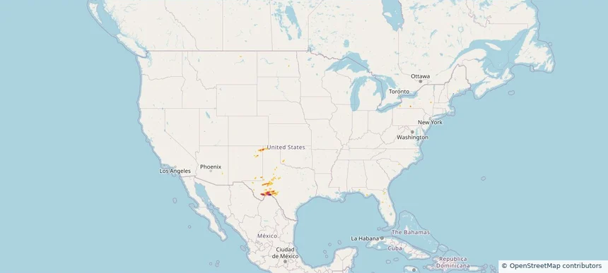
Nationwide Daily Hail & Wind Map - October 12, 2026 — regional hail footprint preview
Storm footprint preview
Oct 11, 2026 10:00 PM to Oct 13, 2026 2:00 AM CST

Nationwide Daily Hail & Wind Map - October 12, 2026

Hail as large as 0.75 inches was reported near 1 mile northwest of Farr West, UT. Wind up to 67 mph was reported near 2 miles south-southwest of Muleshoe, TX. The storm had 1 official hail report.

Affected states: National, NM, NY, ND, OH, TX, UT, WI
1.0 inRadar size estimate 4,499Population Affected 2,122Houses Affected Hail · WindHazards FreeAccount signup
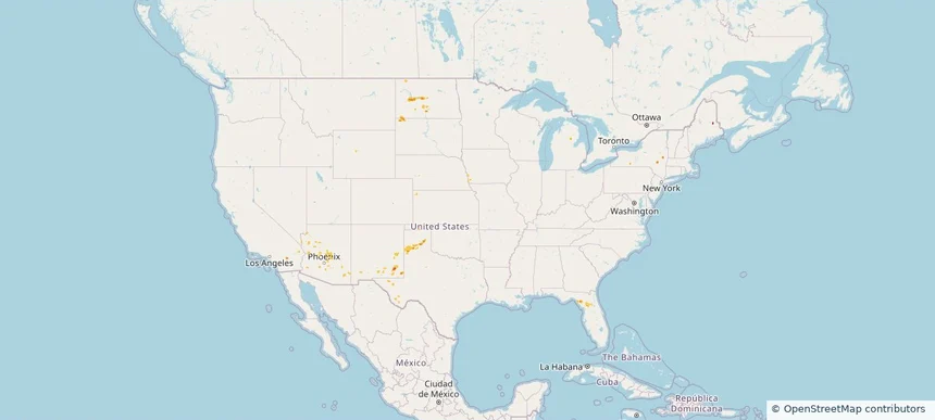
Nationwide Daily Hail, Wind & Tornado Map - October 11, 2026 — regional hail footprint preview
Storm footprint preview
Oct 10, 2026 10:00 PM to Oct 12, 2026 2:00 AM CST

Nationwide Daily Hail, Wind & Tornado Map - October 11, 2026

Radar estimates hail around 1.50 inches near Wellton, AZ. Wind up to 89 mph was reported near 6 miles west-northwest of Great Sand Dunes, CO. 25 tornadoes were reported, including one near 4 miles southwest of Carpenter, NC.

Affected states: National, AZ, CA, CO, NM, NY, NC, SC, UT
1.5 inRadar size estimate 4,576Population Affected 2,166Houses Affected Hail · Wind · TornadoHazards FreeAccount signup
Nationwide Daily Hail, Wind & Tornado Map - October 10, 2026 — regional hail footprint preview
Storm footprint preview
Oct 9, 2026 10:00 PM to Oct 11, 2026 2:00 AM CST

Nationwide Daily Hail, Wind & Tornado Map - October 10, 2026

Hail as large as 0.62 inches was reported near Holladay 0.7 E, UT. Wind up to 81 mph was reported near 15 miles east of Sinclair, WY. 22 tornadoes were reported, including one near 4 miles northwest of Leefield, GA. The storm had 2 official hail reports.

Affected states: National, AL, AZ, CA, CO, FL, GA, ID, NE, NC, SC, UT, WY
1.5 inRadar size estimate 1,139Population Affected 500Houses Affected Hail · Wind · TornadoHazards FreeAccount signup
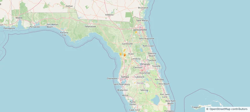
Citrus Springs, FL — October 09, 2026 — regional hail footprint preview
Storm footprint preview

Local hail summary for the Citrus Springs area: 1.88 square miles of estimated ground-hail footprint; highest mapped band 1.5+ inches. 0 official hail report(s) within the summary area. Exposure estimates are not confirmed property damage. Open the map to explore the full coverage included in your access. Statistics cover the mapped hail footprint inside the Census boundary of Citrus Springs, FL, not the entire region. The place had 10,246 residents in the 2020 Census. A boundary intersection does not mean the whole community was hit. Estimated housing exposure: 189 units in 1-inch-or-larger bands, including 15 in 1.5-inch-or-larger bands and 0 in 2-inch-or-larger bands.

Affected states: Citrus Springs area, FL
1.5+ inRadar size estimate 734Population Affected 284Houses Affected HailHazards FreeAccount signup
Le Mars, IA — October 09, 2026 — regional hail footprint preview
Storm footprint preview

Local hail summary for the Le Mars area: 7.60 square miles of estimated ground-hail footprint; highest mapped band 1+ inches. 0 official hail report(s) within the summary area. Exposure estimates are not confirmed property damage. Open the map to explore the full coverage included in your access. Statistics cover the mapped hail footprint inside the Census boundary of Le Mars, IA, not the entire region. The place had 10,571 residents in the 2020 Census. A boundary intersection does not mean the whole community was hit. Estimated housing exposure: 3,777 units in 1-inch-or-larger bands, including 0 in 1.5-inch-or-larger bands and 0 in 2-inch-or-larger bands.

Affected states: Le Mars area, IA
1+ inRadar size estimate 10,461Population Affected 4,490Houses Affected HailHazards FreeAccount signup
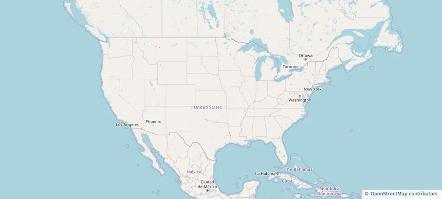
Nationwide Daily Hail, Wind & Tornado Map - October 9, 2026 — regional hail footprint preview
Storm footprint preview
Oct 8, 2026 10:00 PM to Oct 10, 2026 2:00 AM CST

Nationwide Daily Hail, Wind & Tornado Map - October 9, 2026

Hail as large as 1.75 inches was reported near 3 miles east of Redfield, IA. A tornado was reported near 1 mile north of Green Point, FL. The storm had 6 official hail reports.

Affected states: National, FL, IA, LA, SD, TX
2.0 inRadar size estimate 105,010Population Affected 45,842Houses Affected Hail · Wind · TornadoHazards FreeAccount signup
Le Mars, IA — October 08, 2026 — regional hail footprint preview
Storm footprint preview

Local hail summary for the Le Mars area: 7.60 square miles of estimated ground-hail footprint; highest mapped band 1+ inches. 0 official hail report(s) within the summary area. Exposure estimates are not confirmed property damage. Open the map to explore the full coverage included in your access. Statistics cover the mapped hail footprint inside the Census boundary of Le Mars, IA, not the entire region. The place had 10,571 residents in the 2020 Census. A boundary intersection does not mean the whole community was hit. Estimated housing exposure: 3,777 units in 1-inch-or-larger bands, including 0 in 1.5-inch-or-larger bands and 0 in 2-inch-or-larger bands.

Affected states: Le Mars area, IA
1+ inRadar size estimate 10,461Population Affected 4,490Houses Affected HailHazards FreeAccount signup
Nationwide Daily Hail & Wind Map - October 7, 2026 — regional hail footprint preview
Storm footprint preview
Oct 6, 2026 10:00 PM to Oct 8, 2026 2:00 AM CST

Nationwide Daily Hail & Wind Map - October 7, 2026

Hail as large as 0.70 inches was reported near 4 miles northeast of Negaunee, MI. Wind up to 46 mph was reported near 2 miles west-northwest of Feather Sound, FL. The storm had 2 hail reports.

Affected states: National, FL, MI, NM, NY
0.64 inRadar size estimate 0Population Affected 0Houses Affected Hail · WindHazards FreeAccount signup
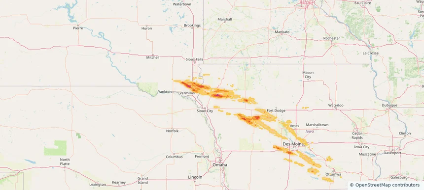
Nationwide Daily Hail, Wind & Tornado Map - September 30, 2026 — regional hail footprint preview
Storm footprint preview
Sep 29, 2026 10:00 PM to Oct 1, 2026 2:00 AM CST

Nationwide Daily Hail, Wind & Tornado Map - September 30, 2026

Radar estimates hail around 3.50 inches near East Terrell, TX. Wind up to 78 mph was reported near 4 miles west of Rotan, TX. 20 tornadoes were reported, including one near 7 miles west-northwest of Timbercreek Canyo, TX.

Affected states: National, FL, KS, ME, MN, NM, OK, TX
3.5 inRadar size estimate 6,922Population Affected 3,009Houses Affected Hail · Wind · TornadoHazards FreeAccount signup
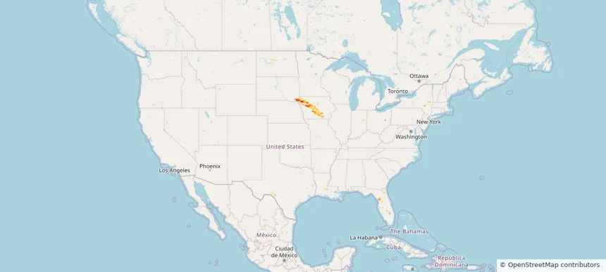
Nationwide Daily Hail, Wind & Tornado Map - September 29, 2026 — regional hail footprint preview
Storm footprint preview
Sep 28, 2026 10:00 PM to Sep 30, 2026 2:00 AM CST

Nationwide Daily Hail, Wind & Tornado Map - September 29, 2026

Radar estimates hail around 1.46 inches near South McLean, ND. Wind up to 77 mph was reported near 3 miles west of Midway, NM. 4 tornadoes were reported, including one near 3 miles northeast of Howell, KS.

Affected states: National, AZ, CA, FL, KS, ME, NM, ND, SD, TX
1.46 inRadar size estimate 14,166Population Affected 5,887Houses Affected Hail · Wind · TornadoHazards FreeAccount signup
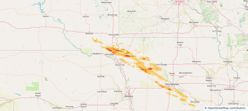
Nationwide Daily Hail, Wind & Tornado Map - September 28, 2026 — regional hail footprint preview
Storm footprint preview
Sep 27, 2026 10:00 PM to Sep 29, 2026 2:00 AM CST

Nationwide Daily Hail, Wind & Tornado Map - September 28, 2026

Hail as large as 1.00 inches was reported near 10 miles north of Belle Fourche, SD. Wind up to 89 mph was reported near 5 miles east-southeast of Kenel, SD. A tornado was reported near 8 miles west-southwest of East Carbon, UT. The storm had 2 official hail reports.

Affected states: National, AZ, CA, CO, MT, NV, ND, OK, SD, TX, UT, WY
1.95 inRadar size estimate 4,214Population Affected 2,201Houses Affected Hail · Wind · TornadoHazards FreeAccount signup
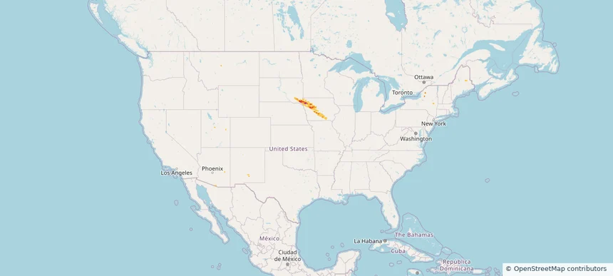
Page 1 of 98
‹ 1 2 98 ›

Frequently asked questions

Can I search hail maps by coverage area?

Yes. The storm library supports coverage-area filtering so you can find hail maps and hail swaths in a target service area.

What kinds of storms appear in the HailMapr library?

The library focuses on published hail events, including ready storm maps and live storms once hail has been detected and a public swath is available.

Are HailMapr storm pages useful for roofers and adjusters?

Yes. They are built to help roofers, adjusters, restoration teams, and property owners review storm footprints before purchase.