
Storm library

Browse live and recent hail maps.

Review storm footprints, hail swaths, reports, and replay access. Create a free account to save your setup and move into map access when a storm matters.

Search filters
Clear
Newest storms first by default.
Don't see your storm? Request a qualifying storm map and we'll email you when it is ready.
Showing 1921-1944 of 2372 storms · Page 81 of 99
‹ 1 80 81 82 99 ›
Request a storm map

Tell us about the storm and we'll build the map. Once it's published you'll get an email and can purchase it from the library — just like any other event.

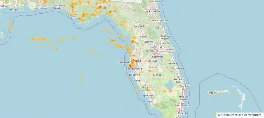
East Lake, FL — June 25, 2025 — regional hail footprint preview
Storm footprint preview

Local hail summary for the East Lake area: 2.36 square miles of estimated ground-hail footprint; highest mapped band 1+ inches. 0 official hail report(s) within the summary area. Exposure estimates are not confirmed property damage. Open the map to explore the full coverage included in your access. Statistics cover the mapped hail footprint inside the Census boundary of East Lake, FL, not the entire region. The place had 32,344 residents in the 2020 Census. A boundary intersection does not mean the whole community was hit. Estimated housing exposure: 1,172 units in 1-inch-or-larger bands, including 0 in 1.5-inch-or-larger bands and 0 in 2-inch-or-larger bands.

Affected states: East Lake area, FL
1+ inRadar size estimate 5,619Population Affected 3,110Houses Affected HailHazards FreeAccount signup
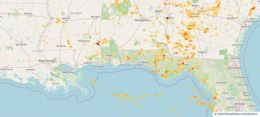
East Milton, FL — June 25, 2025 — regional hail footprint preview
Storm footprint preview

Local hail summary for the East Milton area: 11.94 square miles of estimated ground-hail footprint; highest mapped band 1+ inches. 1 official hail report(s) within the summary area. Exposure estimates are not confirmed property damage. Open the map to explore the full coverage included in your access. Statistics cover the mapped hail footprint inside the Census boundary of East Milton, FL, not the entire region. The place had 14,309 residents in the 2020 Census. A boundary intersection does not mean the whole community was hit. Estimated housing exposure: 1,190 units in 1-inch-or-larger bands, including 0 in 1.5-inch-or-larger bands and 0 in 2-inch-or-larger bands.

Affected states: East Milton area, FL
1+ inRadar size estimate 7,466Population Affected 1,725Houses Affected HailHazards FreeAccount signup
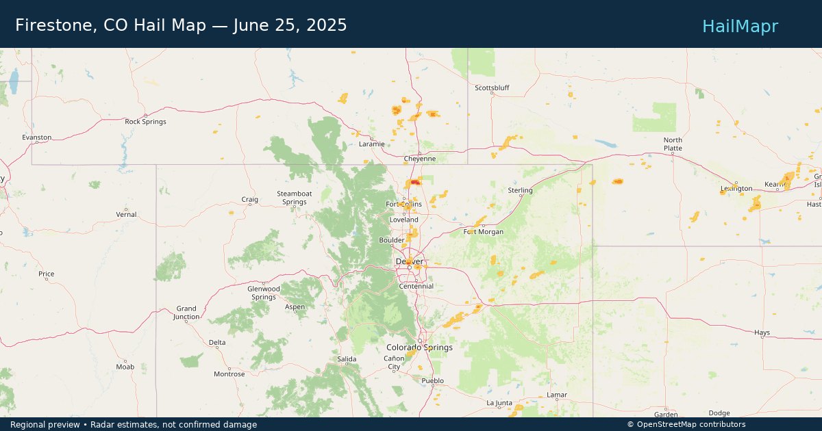
Firestone, CO — June 25, 2025 — regional hail footprint preview
Storm footprint preview

Local hail summary for the Firestone area: 5.82 square miles of estimated ground-hail footprint; highest mapped band 1+ inches. 0 official hail report(s) within the summary area. Exposure estimates are not confirmed property damage. Open the map to explore the full coverage included in your access. Statistics cover the mapped hail footprint inside the Census boundary of Firestone, CO, not the entire region. The place had 16,381 residents in the 2020 Census. A boundary intersection does not mean the whole community was hit. Estimated housing exposure: 760 units in 1-inch-or-larger bands, including 0 in 1.5-inch-or-larger bands and 0 in 2-inch-or-larger bands.

Affected states: Firestone area, CO
1+ inRadar size estimate 7,483Population Affected 2,330Houses Affected HailHazards FreeAccount signup
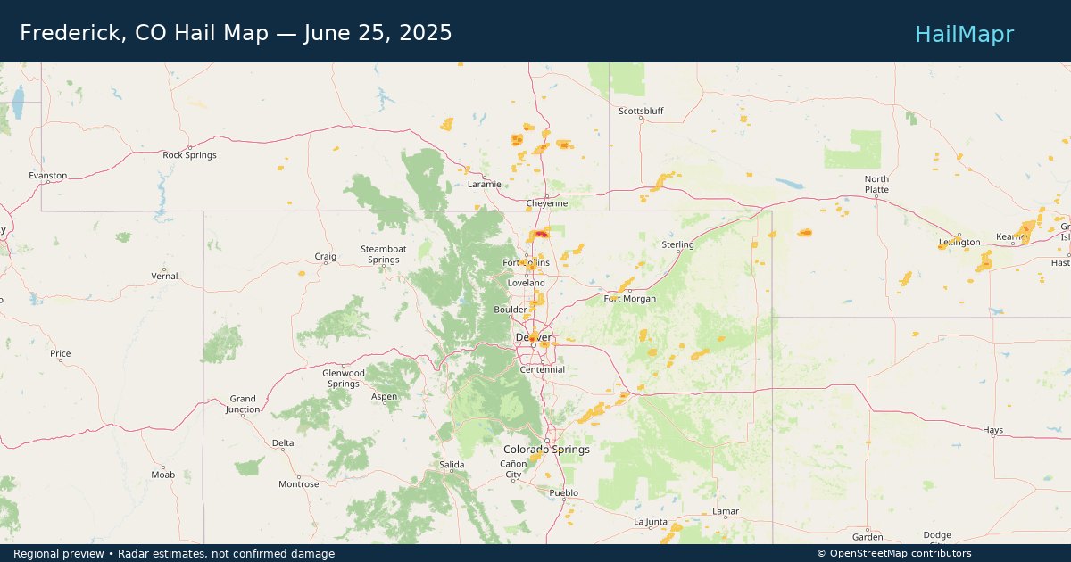
Frederick, CO — June 25, 2025 — regional hail footprint preview
Storm footprint preview

Local hail summary for the Frederick area: 3.33 square miles of estimated ground-hail footprint; highest mapped band 1+ inches. 0 official hail report(s) within the summary area. Exposure estimates are not confirmed property damage. Open the map to explore the full coverage included in your access. Statistics cover the mapped hail footprint inside the Census boundary of Frederick, CO, not the entire region. The place had 14,513 residents in the 2020 Census. A boundary intersection does not mean the whole community was hit. Estimated housing exposure: 541 units in 1-inch-or-larger bands, including 0 in 1.5-inch-or-larger bands and 0 in 2-inch-or-larger bands.

Affected states: Frederick area, CO
1+ inRadar size estimate 6,209Population Affected 2,039Houses Affected HailHazards FreeAccount signup
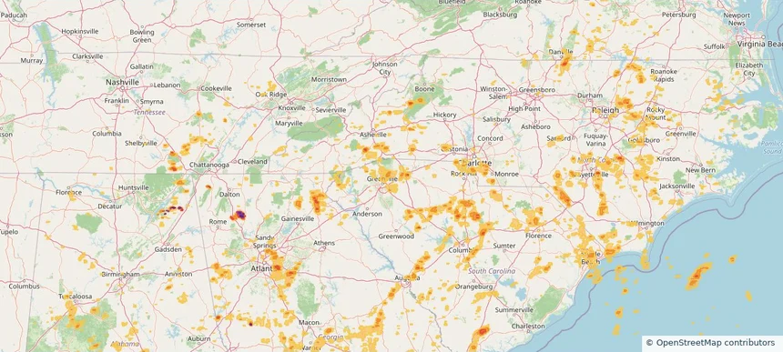
Greer, SC — June 25, 2025 — regional hail footprint preview
Storm footprint preview

Local hail summary for the Greer area: 2.30 square miles of estimated ground-hail footprint; highest mapped band 1+ inches. 0 official hail report(s) within the summary area. Exposure estimates are not confirmed property damage. Open the map to explore the full coverage included in your access. Statistics cover the mapped hail footprint inside the Census boundary of Greer, SC, not the entire region. The place had 35,308 residents in the 2020 Census. A boundary intersection does not mean the whole community was hit. Estimated housing exposure: 269 units in 1-inch-or-larger bands, including 0 in 1.5-inch-or-larger bands and 0 in 2-inch-or-larger bands.

Affected states: Greer area, SC
1+ inRadar size estimate 1,462Population Affected 605Houses Affected HailHazards FreeAccount signup
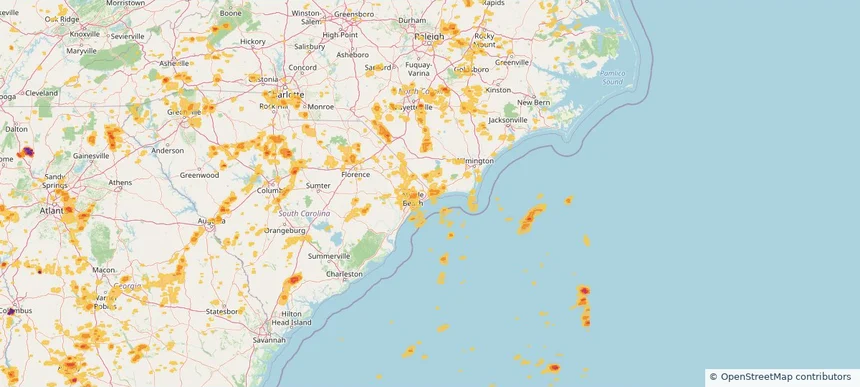
Little River, SC — June 25, 2025 — regional hail footprint preview
Storm footprint preview

Local hail summary for the Little River area: 5.36 square miles of estimated ground-hail footprint; highest mapped band 1+ inches. 0 official hail report(s) within the summary area. Exposure estimates are not confirmed property damage. Open the map to explore the full coverage included in your access. Statistics cover the mapped hail footprint inside the Census boundary of Little River, SC, not the entire region. The place had 11,711 residents in the 2020 Census. A boundary intersection does not mean the whole community was hit. Estimated housing exposure: 2,200 units in 1-inch-or-larger bands, including 0 in 1.5-inch-or-larger bands and 0 in 2-inch-or-larger bands.

Affected states: Little River area, SC
1+ inRadar size estimate 6,580Population Affected 4,212Houses Affected HailHazards FreeAccount signup
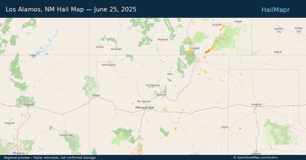
Los Alamos, NM — June 25, 2025 — regional hail footprint preview
Storm footprint preview

Local hail summary for the Los Alamos area: 3.23 square miles of estimated ground-hail footprint; highest mapped band 1+ inches. 0 official hail report(s) within the summary area. Exposure estimates are not confirmed property damage. Open the map to explore the full coverage included in your access. Statistics cover the mapped hail footprint inside the Census boundary of Los Alamos, NM, not the entire region. The place had 13,179 residents in the 2020 Census. A boundary intersection does not mean the whole community was hit. Estimated housing exposure: 1,873 units in 1-inch-or-larger bands, including 0 in 1.5-inch-or-larger bands and 0 in 2-inch-or-larger bands.

Affected states: Los Alamos area, NM
1+ inRadar size estimate 5,649Population Affected 2,839Houses Affected HailHazards FreeAccount signup
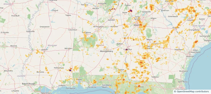
Millbrook, AL — June 25, 2025 — regional hail footprint preview
Storm footprint preview

Local hail summary for the Millbrook area: 0.40 square miles of estimated ground-hail footprint; highest mapped band 1+ inches. 0 official hail report(s) within the summary area. Exposure estimates are not confirmed property damage. Open the map to explore the full coverage included in your access. Statistics cover the mapped hail footprint inside the Census boundary of Millbrook, AL, not the entire region. The place had 16,564 residents in the 2020 Census. A boundary intersection does not mean the whole community was hit. Estimated housing exposure: 187 units in 1-inch-or-larger bands, including 0 in 1.5-inch-or-larger bands and 0 in 2-inch-or-larger bands.

Affected states: Millbrook area, AL
1+ inRadar size estimate 742Population Affected 283Houses Affected HailHazards FreeAccount signup
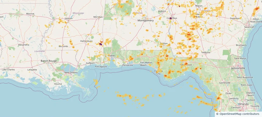
Milton, FL — June 25, 2025 — regional hail footprint preview
Storm footprint preview

Local hail summary for the Milton area: 3.86 square miles of estimated ground-hail footprint; highest mapped band 1+ inches. 0 official hail report(s) within the summary area. Exposure estimates are not confirmed property damage. Open the map to explore the full coverage included in your access. Statistics cover the mapped hail footprint inside the Census boundary of Milton, FL, not the entire region. The place had 10,197 residents in the 2020 Census. A boundary intersection does not mean the whole community was hit. Estimated housing exposure: 307 units in 1-inch-or-larger bands, including 0 in 1.5-inch-or-larger bands and 0 in 2-inch-or-larger bands.

Affected states: Milton area, FL
1+ inRadar size estimate 5,704Population Affected 2,522Houses Affected HailHazards FreeAccount signup
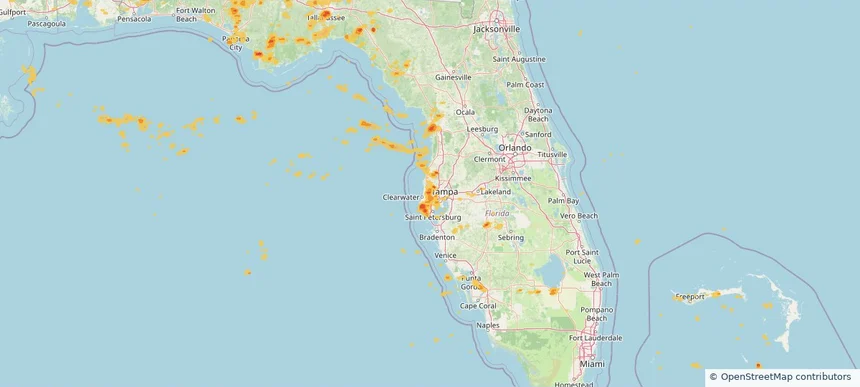
Oldsmar, FL — June 25, 2025 — regional hail footprint preview
Storm footprint preview

Local hail summary for the Oldsmar area: 5.41 square miles of estimated ground-hail footprint; highest mapped band 1+ inches. 0 official hail report(s) within the summary area. Exposure estimates are not confirmed property damage. Open the map to explore the full coverage included in your access. Statistics cover the mapped hail footprint inside the Census boundary of Oldsmar, FL, not the entire region. The place had 14,898 residents in the 2020 Census. A boundary intersection does not mean the whole community was hit. Estimated housing exposure: 4,787 units in 1-inch-or-larger bands, including 0 in 1.5-inch-or-larger bands and 0 in 2-inch-or-larger bands.

Affected states: Oldsmar area, FL
1+ inRadar size estimate 12,551Population Affected 5,363Houses Affected HailHazards FreeAccount signup
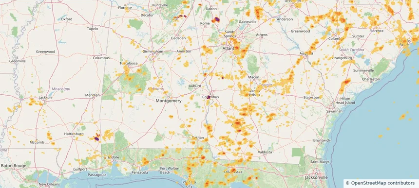
Phenix City, AL — June 25, 2025 — regional hail footprint preview
Storm footprint preview

Local hail summary for the Phenix City area: 1.83 square miles of estimated ground-hail footprint; highest mapped band 2.5+ inches. 0 official hail report(s) within the summary area. Exposure estimates are not confirmed property damage. Open the map to explore the full coverage included in your access. Statistics cover the mapped hail footprint inside the Census boundary of Phenix City, AL, not the entire region. The place had 38,816 residents in the 2020 Census. A boundary intersection does not mean the whole community was hit. Estimated housing exposure: 314 units in 1-inch-or-larger bands, including 257 in 1.5-inch-or-larger bands and 229 in 2-inch-or-larger bands.

Affected states: Phenix City area, AL
2.5+ inRadar size estimate 943Population Affected 314Houses Affected HailHazards FreeAccount signup
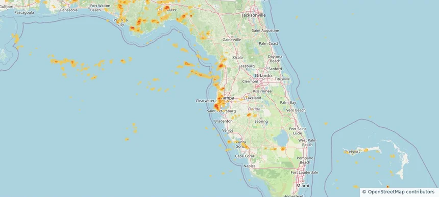
Safety Harbor, FL — June 25, 2025 — regional hail footprint preview
Storm footprint preview

Local hail summary for the Safety Harbor area: 4.42 square miles of estimated ground-hail footprint; highest mapped band 1.5+ inches. 0 official hail report(s) within the summary area. Exposure estimates are not confirmed property damage. Open the map to explore the full coverage included in your access. Statistics cover the mapped hail footprint inside the Census boundary of Safety Harbor, FL, not the entire region. The place had 17,072 residents in the 2020 Census. A boundary intersection does not mean the whole community was hit. Estimated housing exposure: 4,333 units in 1-inch-or-larger bands, including 1,609 in 1.5-inch-or-larger bands and 0 in 2-inch-or-larger bands.

Affected states: Safety Harbor area, FL
1.5+ inRadar size estimate 15,687Population Affected 7,352Houses Affected HailHazards FreeAccount signup
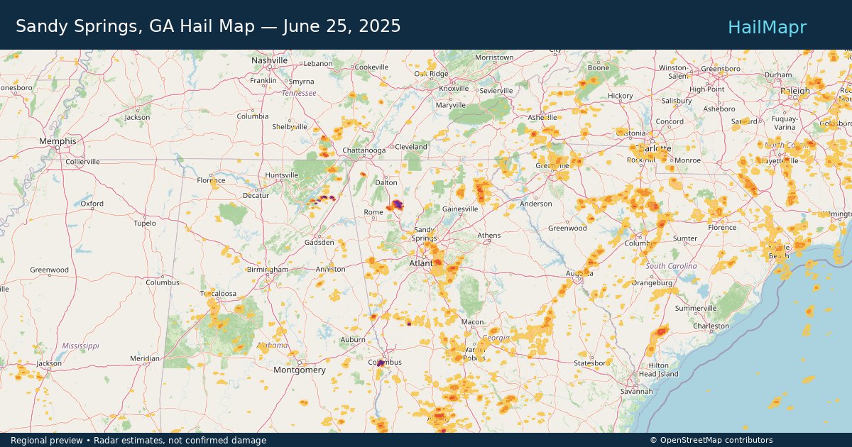
Sandy Springs, GA — June 25, 2025 — regional hail footprint preview
Storm footprint preview

Local hail summary for the Sandy Springs area: 1.95 square miles of estimated ground-hail footprint; highest mapped band 1+ inches. 0 official hail report(s) within the summary area. Exposure estimates are not confirmed property damage. Open the map to explore the full coverage included in your access. Statistics cover the mapped hail footprint inside the Census boundary of Sandy Springs, GA, not the entire region. The place had 108,080 residents in the 2020 Census. A boundary intersection does not mean the whole community was hit. Estimated housing exposure: 1,995 units in 1-inch-or-larger bands, including 0 in 1.5-inch-or-larger bands and 0 in 2-inch-or-larger bands.

Affected states: Sandy Springs area, GA
1+ inRadar size estimate 7,627Population Affected 5,195Houses Affected HailHazards FreeAccount signup
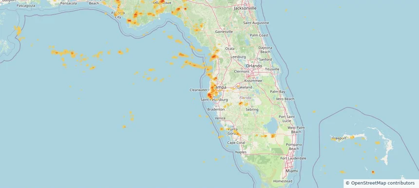
Seminole, FL — June 25, 2025 — regional hail footprint preview
Storm footprint preview

Local hail summary for the Seminole area: 5.65 square miles of estimated ground-hail footprint; highest mapped band 1.5+ inches. 0 official hail report(s) within the summary area. Exposure estimates are not confirmed property damage. Open the map to explore the full coverage included in your access. Statistics cover the mapped hail footprint inside the Census boundary of Seminole, FL, not the entire region. The place had 19,364 residents in the 2020 Census. A boundary intersection does not mean the whole community was hit. Estimated housing exposure: 11,431 units in 1-inch-or-larger bands, including 8,321 in 1.5-inch-or-larger bands and 0 in 2-inch-or-larger bands.

Affected states: Seminole area, FL
1.5+ inRadar size estimate 19,827Population Affected 11,453Houses Affected HailHazards FreeAccount signup
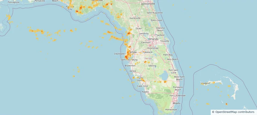
St. Petersburg, FL — June 25, 2025 — regional hail footprint preview
Storm footprint preview

Local hail summary for the St. Petersburg area: 7.83 square miles of estimated ground-hail footprint; highest mapped band 1.5+ inches. 0 official hail report(s) within the summary area. Exposure estimates are not confirmed property damage. Open the map to explore the full coverage included in your access. Statistics cover the mapped hail footprint inside the Census boundary of St. Petersburg, FL, not the entire region. The place had 258,308 residents in the 2020 Census. A boundary intersection does not mean the whole community was hit. Estimated housing exposure: 4,504 units in 1-inch-or-larger bands, including 165 in 1.5-inch-or-larger bands and 0 in 2-inch-or-larger bands.

Affected states: St. Petersburg area, FL
1.5+ inRadar size estimate 16,951Population Affected 8,438Houses Affected HailHazards FreeAccount signup
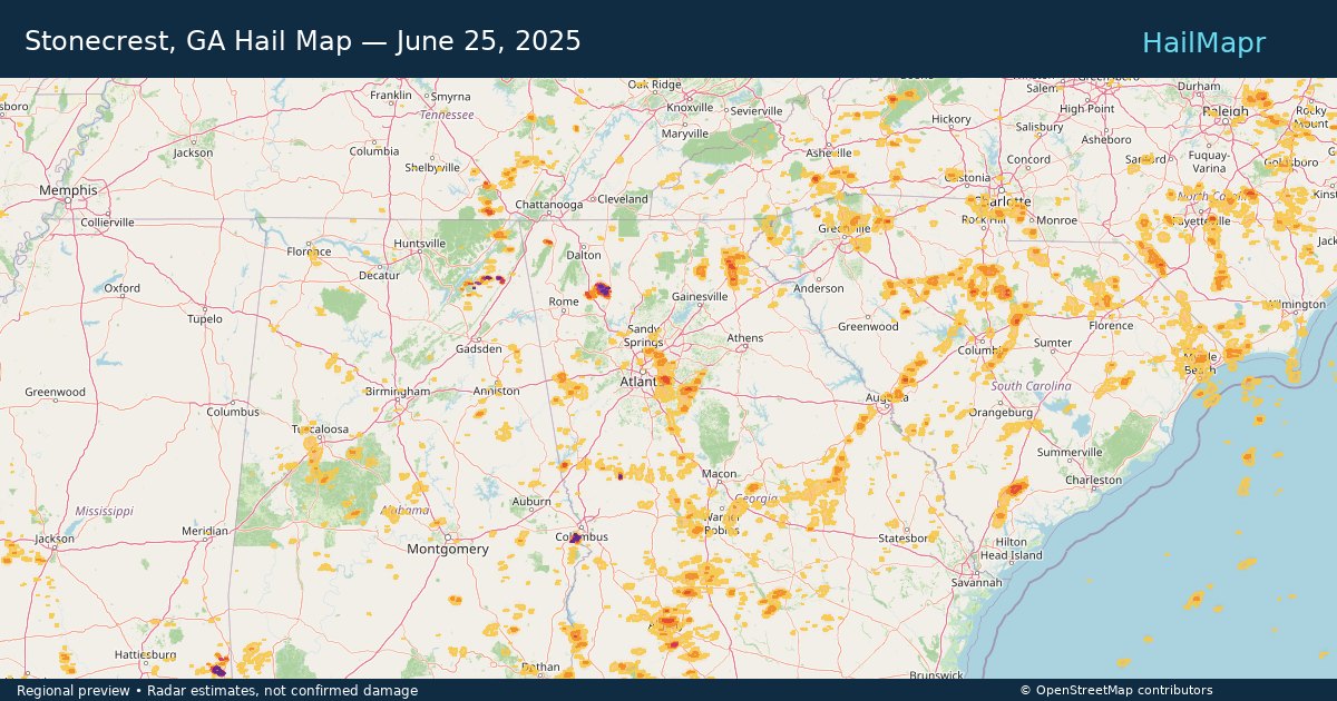
Stonecrest, GA — June 25, 2025 — regional hail footprint preview
Storm footprint preview

Local hail summary for the Stonecrest area: 19.12 square miles of estimated ground-hail footprint; highest mapped band 1.5+ inches. 0 official hail report(s) within the summary area. Exposure estimates are not confirmed property damage. Open the map to explore the full coverage included in your access. Statistics cover the mapped hail footprint inside the Census boundary of Stonecrest, GA, not the entire region. The place had 59,194 residents in the 2020 Census. A boundary intersection does not mean the whole community was hit. Estimated housing exposure: 13,161 units in 1-inch-or-larger bands, including 8,471 in 1.5-inch-or-larger bands and 0 in 2-inch-or-larger bands.

Affected states: Stonecrest area, GA
1.5+ inRadar size estimate 32,757Population Affected 13,398Houses Affected HailHazards FreeAccount signup
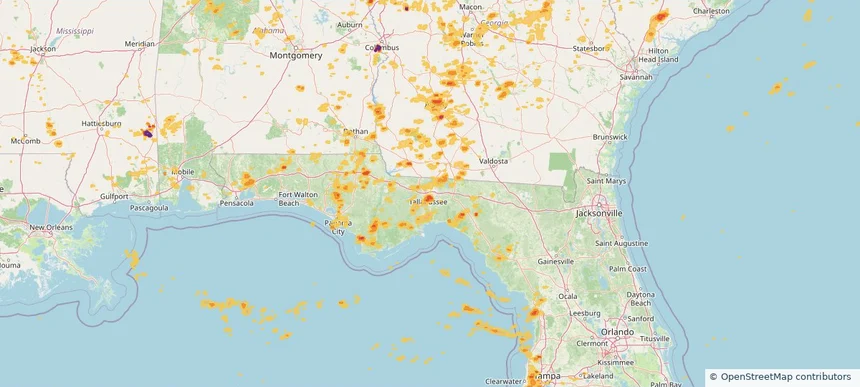
Tallahassee, FL — June 25, 2025 — regional hail footprint preview
Storm footprint preview

Local hail summary for the Tallahassee area: 22.50 square miles of estimated ground-hail footprint; highest mapped band 1.5+ inches. 1 official hail report(s) within the summary area. Exposure estimates are not confirmed property damage. Open the map to explore the full coverage included in your access. Statistics cover the mapped hail footprint inside the Census boundary of Tallahassee, FL, not the entire region. The place had 196,169 residents in the 2020 Census. A boundary intersection does not mean the whole community was hit. Estimated housing exposure: 22,875 units in 1-inch-or-larger bands, including 5,713 in 1.5-inch-or-larger bands and 0 in 2-inch-or-larger bands.

Affected states: Tallahassee area, FL
1.5+ inRadar size estimate 59,088Population Affected 27,964Houses Affected HailHazards FreeAccount signup
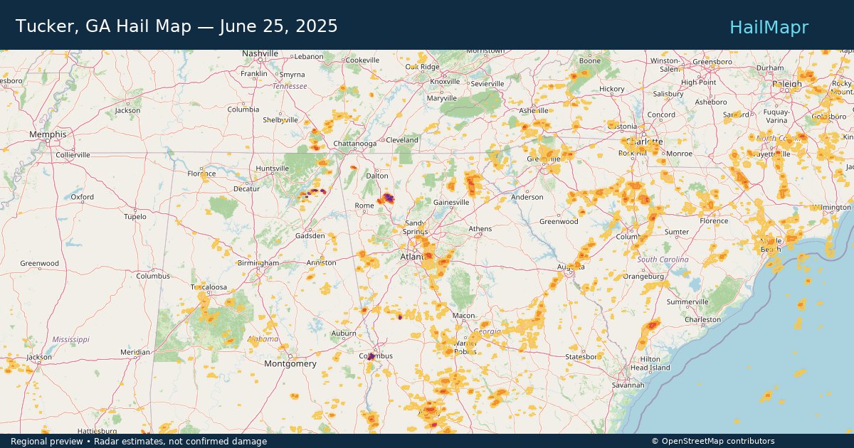
Tucker, GA — June 25, 2025 — regional hail footprint preview
Storm footprint preview

Local hail summary for the Tucker area: 8.12 square miles of estimated ground-hail footprint; highest mapped band 1+ inches. 0 official hail report(s) within the summary area. Exposure estimates are not confirmed property damage. Open the map to explore the full coverage included in your access. Statistics cover the mapped hail footprint inside the Census boundary of Tucker, GA, not the entire region. The place had 37,005 residents in the 2020 Census. A boundary intersection does not mean the whole community was hit. Estimated housing exposure: 4,330 units in 1-inch-or-larger bands, including 0 in 1.5-inch-or-larger bands and 0 in 2-inch-or-larger bands.

Affected states: Tucker area, GA
1+ inRadar size estimate 15,231Population Affected 6,298Houses Affected HailHazards FreeAccount signup
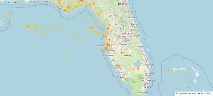
West Lealman, FL — June 25, 2025 — regional hail footprint preview
Storm footprint preview

Local hail summary for the West Lealman area: 1.05 square miles of estimated ground-hail footprint; highest mapped band 1+ inches. 0 official hail report(s) within the summary area. Exposure estimates are not confirmed property damage. Open the map to explore the full coverage included in your access. Statistics cover the mapped hail footprint inside the Census boundary of West Lealman, FL, not the entire region. The place had 16,438 residents in the 2020 Census. A boundary intersection does not mean the whole community was hit. Estimated housing exposure: 3,474 units in 1-inch-or-larger bands, including 0 in 1.5-inch-or-larger bands and 0 in 2-inch-or-larger bands.

Affected states: West Lealman area, FL
1+ inRadar size estimate 5,030Population Affected 3,961Houses Affected HailHazards FreeAccount signup
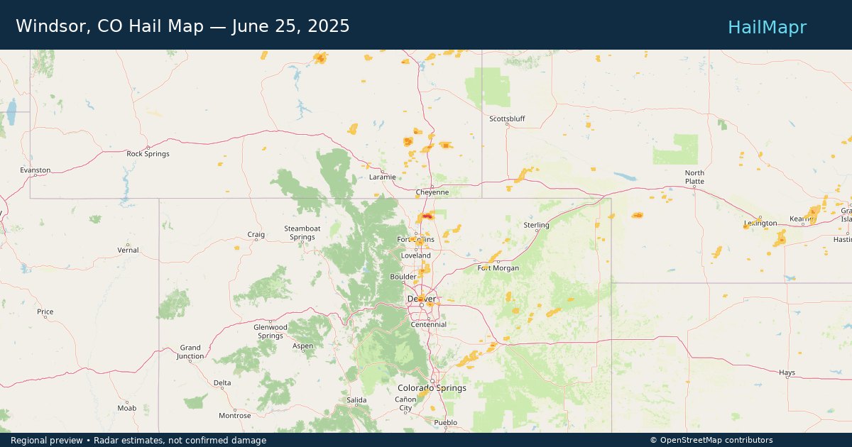
Windsor, CO — June 25, 2025 — regional hail footprint preview
Storm footprint preview

Local hail summary for the Windsor area: 1.37 square miles of estimated ground-hail footprint; highest mapped band 1+ inches. 0 official hail report(s) within the summary area. Exposure estimates are not confirmed property damage. Open the map to explore the full coverage included in your access. Statistics cover the mapped hail footprint inside the Census boundary of Windsor, CO, not the entire region. The place had 32,716 residents in the 2020 Census. A boundary intersection does not mean the whole community was hit. Estimated housing exposure: 509 units in 1-inch-or-larger bands, including 0 in 1.5-inch-or-larger bands and 0 in 2-inch-or-larger bands.

Affected states: Windsor area, CO
1+ inRadar size estimate 2,216Population Affected 773Houses Affected HailHazards FreeAccount signup
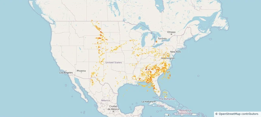
Historical Hail — 2025-06-25 — regional hail footprint preview
Storm footprint preview
Jun 25, 2025 7:00 AM to Jun 26, 2025 7:00 AM CST

Historical Hail — 2025-06-25

Hail as large as 1.75 inches was reported near Pisgah, ALABAMA. Wind up to 83 mph was reported near 4 miles east-southeast of Riverdale, NE. 58 tornadoes were reported, including one near Wabasha, MINNESOTA. The storm had 14 official hail reports.

Affected states: National, AL, AR, CO, DC, FL, GA, IL, IN, IA, KS, KY, LA, MD, MI, MN, MS, MO, MT, NE, NM, NC, ND, OH, PA, SC, SD, TN, TX, VA, WV, WI, WY
5.91 inRadar size estimate 3,218,214Population Affected 1,411,943Houses Affected Hail · Wind · TornadoHazards FreeAccount signup
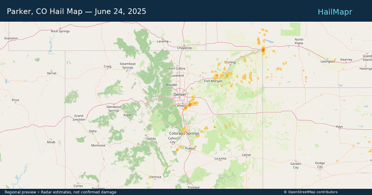
Parker, CO — June 24, 2025 — regional hail footprint preview
Storm footprint preview

Local hail summary for the Parker area: 9.29 square miles of estimated ground-hail footprint; highest mapped band 1+ inches. 0 official hail report(s) within the summary area. Exposure estimates are not confirmed property damage. Open the map to explore the full coverage included in your access. Statistics cover the mapped hail footprint inside the Census boundary of Parker, CO, not the entire region. The place had 58,512 residents in the 2020 Census. A boundary intersection does not mean the whole community was hit. Estimated housing exposure: 2,701 units in 1-inch-or-larger bands, including 0 in 1.5-inch-or-larger bands and 0 in 2-inch-or-larger bands.

Affected states: Parker area, CO
1+ inRadar size estimate 15,674Population Affected 5,483Houses Affected HailHazards FreeAccount signup
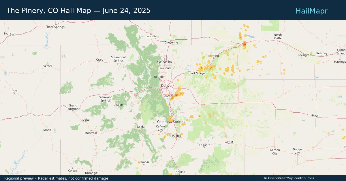
The Pinery, CO — June 24, 2025 — regional hail footprint preview
Storm footprint preview

Local hail summary for the The Pinery area: 8.44 square miles of estimated ground-hail footprint; highest mapped band 1+ inches. 0 official hail report(s) within the summary area. Exposure estimates are not confirmed property damage. Open the map to explore the full coverage included in your access. Statistics cover the mapped hail footprint inside the Census boundary of The Pinery, CO, not the entire region. The place had 11,311 residents in the 2020 Census. A boundary intersection does not mean the whole community was hit. Estimated housing exposure: 832 units in 1-inch-or-larger bands, including 0 in 1.5-inch-or-larger bands and 0 in 2-inch-or-larger bands.

Affected states: The Pinery area, CO
1+ inRadar size estimate 8,956Population Affected 3,097Houses Affected HailHazards FreeAccount signup
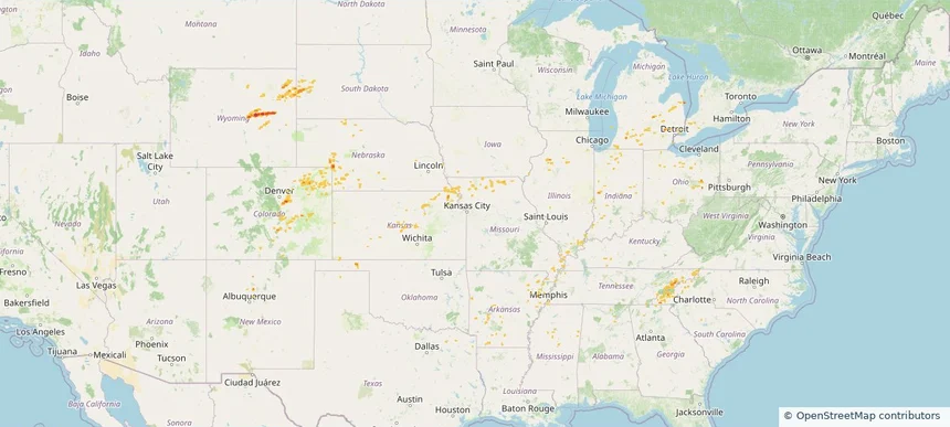
Historical Hail — 2025-06-24 — regional hail footprint preview
Storm footprint preview
Jun 24, 2025 7:00 AM to Jun 25, 2025 7:00 AM CST

Historical Hail — 2025-06-24

Hail as large as 1.00 inches was reported near 1 mile north of Wixom, MI. Wind up to 99 mph was reported near 14 miles north of Bar Nunn, WY. 13 tornadoes were reported, including one near Wabasha, MINNESOTA. The storm had 6 hail reports.

Affected states: National, AL, AR, CO, IL, IN, KS, KY, MI, MS, MO, NE, NM, NC, OH, OK, SD, TN, WY
2.34 inRadar size estimate 161,324Population Affected 71,692Houses Affected Hail · Wind · TornadoHazards FreeAccount signup
Page 81 of 99
‹ 1 80 81 82 99 ›

Frequently asked questions

Can I search hail maps by coverage area?

Yes. The storm library supports coverage-area filtering so you can find hail maps and hail swaths in a target service area.

What kinds of storms appear in the HailMapr library?

The library focuses on published hail events, including ready storm maps and live storms once hail has been detected and a public swath is available.

Are HailMapr storm pages useful for roofers and adjusters?

Yes. They are built to help roofers, adjusters, restoration teams, and property owners review storm footprints before purchase.