
Storm library

Browse live and recent hail maps.

Review storm footprints, hail swaths, reports, and replay access. Create a free account to save your setup and move into map access when a storm matters.

Search filters
Clear
Newest storms first by default.
Don't see your storm? Request a qualifying storm map and we'll email you when it is ready.
Showing 1897-1920 of 2393 storms · Page 80 of 100
‹ 1 79 80 81 100 ›
Request a storm map

Tell us about the storm and we'll build the map. Once it's published you'll get an email and can purchase it from the library — just like any other event.

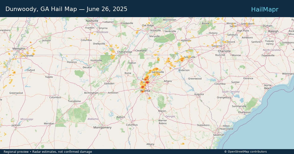
Dunwoody, GA — June 26, 2025 — regional hail footprint preview
Storm footprint preview

Local hail summary for the Dunwoody area: 5.23 square miles of estimated ground-hail footprint; highest mapped band 1.5+ inches. 0 official hail report(s) within the summary area. Exposure estimates are not confirmed property damage. Open the map to explore the full coverage included in your access. Statistics cover the mapped hail footprint inside the Census boundary of Dunwoody, GA, not the entire region. The place had 51,683 residents in the 2020 Census. A boundary intersection does not mean the whole community was hit. Estimated housing exposure: 4,195 units in 1-inch-or-larger bands, including 1,594 in 1.5-inch-or-larger bands and 0 in 2-inch-or-larger bands.

Affected states: Dunwoody area, GA
1.5+ inRadar size estimate 13,999Population Affected 5,245Houses Affected HailHazards FreeAccount signup
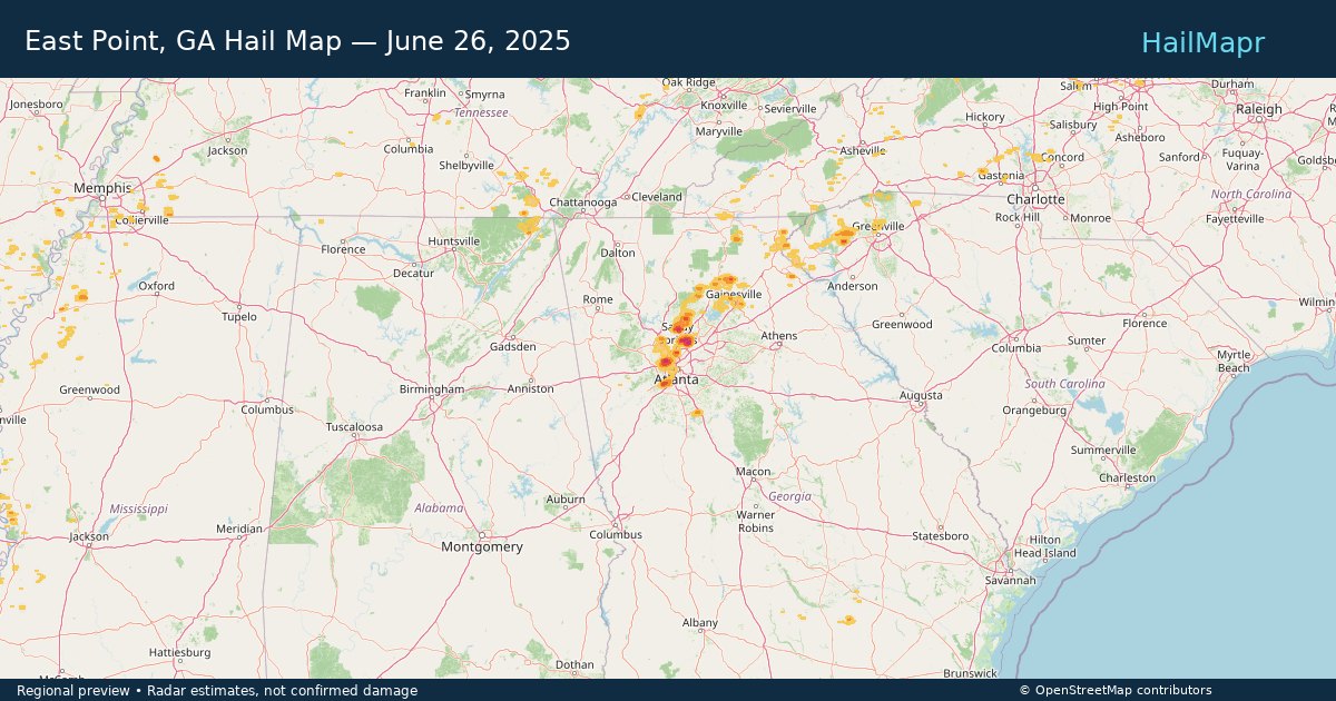
East Point, GA — June 26, 2025 — regional hail footprint preview
Storm footprint preview

Local hail summary for the East Point area: 2.61 square miles of estimated ground-hail footprint; highest mapped band 1.5+ inches. 0 official hail report(s) within the summary area. Exposure estimates are not confirmed property damage. Open the map to explore the full coverage included in your access. Statistics cover the mapped hail footprint inside the Census boundary of East Point, GA, not the entire region. The place had 38,358 residents in the 2020 Census. A boundary intersection does not mean the whole community was hit. Estimated housing exposure: 3,228 units in 1-inch-or-larger bands, including 449 in 1.5-inch-or-larger bands and 0 in 2-inch-or-larger bands.

Affected states: East Point area, GA
1.5+ inRadar size estimate 7,173Population Affected 3,228Houses Affected HailHazards FreeAccount signup
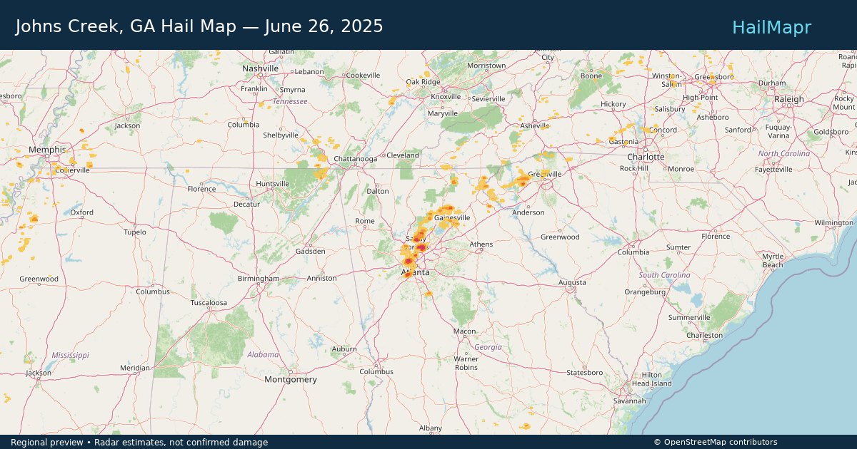
Johns Creek, GA — June 26, 2025 — regional hail footprint preview
Storm footprint preview

Local hail summary for the Johns Creek area: 3.79 square miles of estimated ground-hail footprint; highest mapped band 1.5+ inches. 0 official hail report(s) within the summary area. Exposure estimates are not confirmed property damage. Open the map to explore the full coverage included in your access. Statistics cover the mapped hail footprint inside the Census boundary of Johns Creek, GA, not the entire region. The place had 82,453 residents in the 2020 Census. A boundary intersection does not mean the whole community was hit. Estimated housing exposure: 3,037 units in 1-inch-or-larger bands, including 1,288 in 1.5-inch-or-larger bands and 0 in 2-inch-or-larger bands.

Affected states: Johns Creek area, GA
1.5+ inRadar size estimate 7,930Population Affected 3,037Houses Affected HailHazards FreeAccount signup
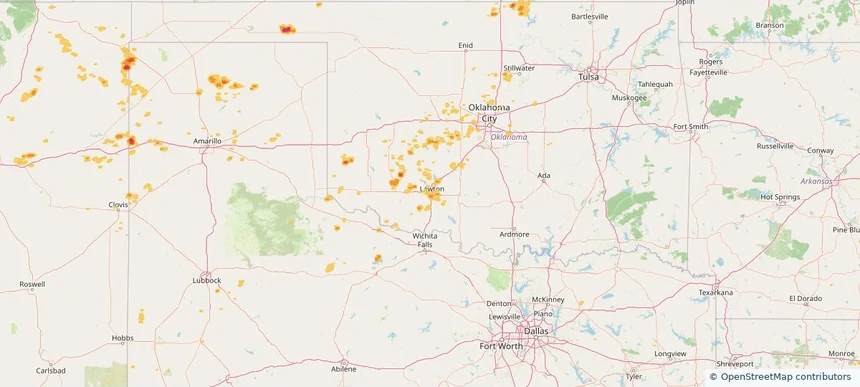
Lawton, OK — June 26, 2025 — regional hail footprint preview
Storm footprint preview

Local hail summary for the Lawton area: 7.43 square miles of estimated ground-hail footprint; highest mapped band 1+ inches. 0 official hail report(s) within the summary area. Exposure estimates are not confirmed property damage. Open the map to explore the full coverage included in your access. Statistics cover the mapped hail footprint inside the Census boundary of Lawton, OK, not the entire region. The place had 90,381 residents in the 2020 Census. A boundary intersection does not mean the whole community was hit. Estimated housing exposure: 1,906 units in 1-inch-or-larger bands, including 0 in 1.5-inch-or-larger bands and 0 in 2-inch-or-larger bands.

Affected states: Lawton area, OK
1+ inRadar size estimate 9,195Population Affected 5,555Houses Affected HailHazards FreeAccount signup
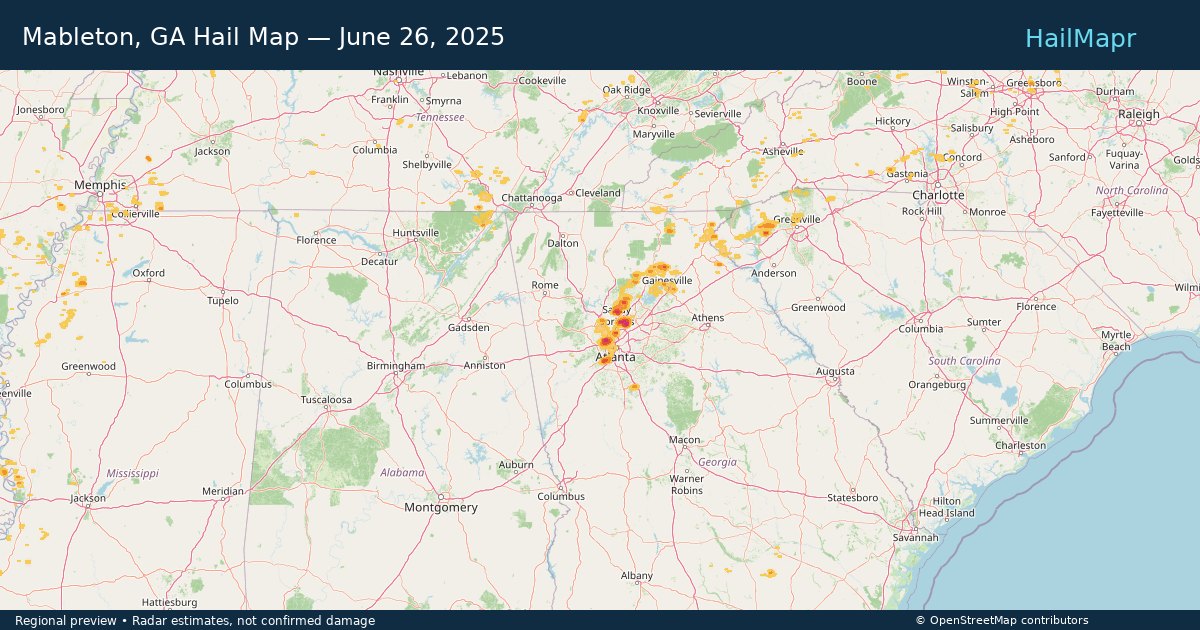
Mableton, GA — June 26, 2025 — regional hail footprint preview
Storm footprint preview

Local hail summary for the Mableton area: 7.53 square miles of estimated ground-hail footprint; highest mapped band 1.5+ inches. 0 official hail report(s) within the summary area. Exposure estimates are not confirmed property damage. Open the map to explore the full coverage included in your access. Statistics cover the mapped hail footprint inside the Census boundary of Mableton, GA, not the entire region. The place had 40,834 residents in the 2020 Census. A boundary intersection does not mean the whole community was hit. Estimated housing exposure: 4,597 units in 1-inch-or-larger bands, including 2,651 in 1.5-inch-or-larger bands and 0 in 2-inch-or-larger bands.

Affected states: Mableton area, GA
1.5+ inRadar size estimate 15,252Population Affected 6,169Houses Affected HailHazards FreeAccount signup
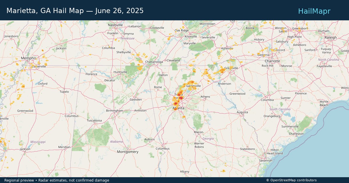
Marietta, GA — June 26, 2025 — regional hail footprint preview
Storm footprint preview

Local hail summary for the Marietta area: 1.18 square miles of estimated ground-hail footprint; highest mapped band 1+ inches. 0 official hail report(s) within the summary area. Exposure estimates are not confirmed property damage. Open the map to explore the full coverage included in your access. Statistics cover the mapped hail footprint inside the Census boundary of Marietta, GA, not the entire region. The place had 60,972 residents in the 2020 Census. A boundary intersection does not mean the whole community was hit. Estimated housing exposure: 1,579 units in 1-inch-or-larger bands, including 0 in 1.5-inch-or-larger bands and 0 in 2-inch-or-larger bands.

Affected states: Marietta area, GA
1+ inRadar size estimate 2,962Population Affected 1,590Houses Affected HailHazards FreeAccount signup
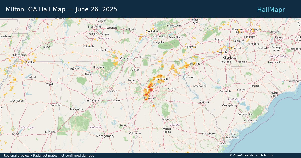
Milton, GA — June 26, 2025 — regional hail footprint preview
Storm footprint preview

Local hail summary for the Milton area: 33.08 square miles of estimated ground-hail footprint; highest mapped band 1.5+ inches. 0 official hail report(s) within the summary area. Exposure estimates are not confirmed property damage. Open the map to explore the full coverage included in your access. Statistics cover the mapped hail footprint inside the Census boundary of Milton, GA, not the entire region. The place had 41,296 residents in the 2020 Census. A boundary intersection does not mean the whole community was hit. Estimated housing exposure: 5,974 units in 1-inch-or-larger bands, including 593 in 1.5-inch-or-larger bands and 0 in 2-inch-or-larger bands.

Affected states: Milton area, GA
1.5+ inRadar size estimate 23,747Population Affected 7,412Houses Affected HailHazards FreeAccount signup
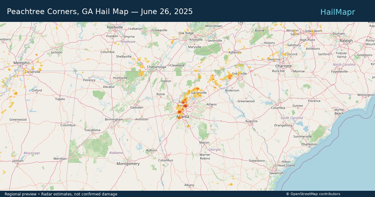
Peachtree Corners, GA — June 26, 2025 — regional hail footprint preview
Storm footprint preview

Local hail summary for the Peachtree Corners area: 5.69 square miles of estimated ground-hail footprint; highest mapped band 1.5+ inches. 0 official hail report(s) within the summary area. Exposure estimates are not confirmed property damage. Open the map to explore the full coverage included in your access. Statistics cover the mapped hail footprint inside the Census boundary of Peachtree Corners, GA, not the entire region. The place had 42,243 residents in the 2020 Census. A boundary intersection does not mean the whole community was hit. Estimated housing exposure: 7,422 units in 1-inch-or-larger bands, including 357 in 1.5-inch-or-larger bands and 0 in 2-inch-or-larger bands.

Affected states: Peachtree Corners area, GA
1.5+ inRadar size estimate 22,616Population Affected 10,083Houses Affected HailHazards FreeAccount signup
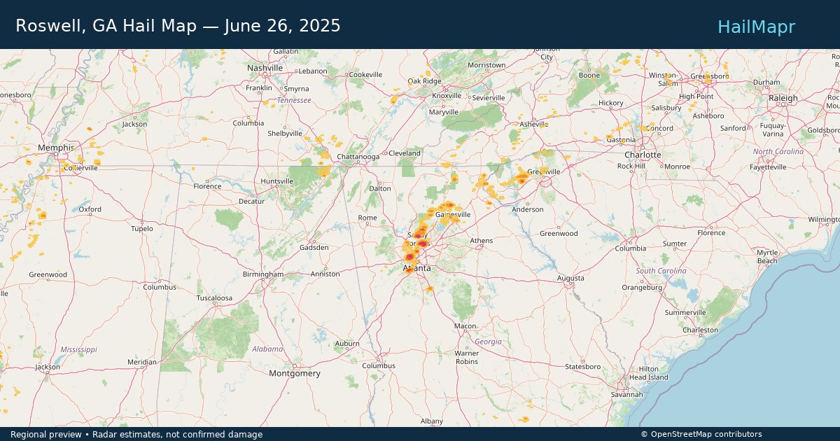
Roswell, GA — June 26, 2025 — regional hail footprint preview
Storm footprint preview

Local hail summary for the Roswell area: 25.40 square miles of estimated ground-hail footprint; highest mapped band 2+ inches. 0 official hail report(s) within the summary area. Exposure estimates are not confirmed property damage. Open the map to explore the full coverage included in your access. Statistics cover the mapped hail footprint inside the Census boundary of Roswell, GA, not the entire region. The place had 92,833 residents in the 2020 Census. A boundary intersection does not mean the whole community was hit. Estimated housing exposure: 19,074 units in 1-inch-or-larger bands, including 12,746 in 1.5-inch-or-larger bands and 1,775 in 2-inch-or-larger bands.

Affected states: Roswell area, GA
2+ inRadar size estimate 53,770Population Affected 22,025Houses Affected HailHazards FreeAccount signup
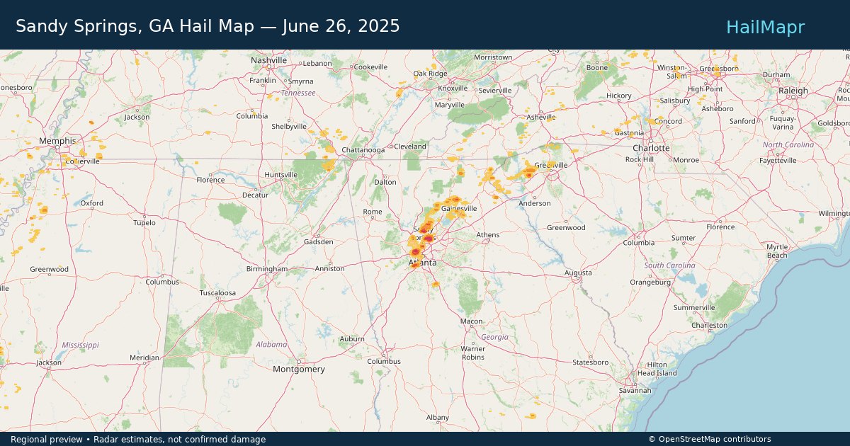
Sandy Springs, GA — June 26, 2025 — regional hail footprint preview
Storm footprint preview

Local hail summary for the Sandy Springs area: 20.15 square miles of estimated ground-hail footprint; highest mapped band 2+ inches. 0 official hail report(s) within the summary area. Exposure estimates are not confirmed property damage. Open the map to explore the full coverage included in your access. Statistics cover the mapped hail footprint inside the Census boundary of Sandy Springs, GA, not the entire region. The place had 108,080 residents in the 2020 Census. A boundary intersection does not mean the whole community was hit. Estimated housing exposure: 23,530 units in 1-inch-or-larger bands, including 12,952 in 1.5-inch-or-larger bands and 3,185 in 2-inch-or-larger bands.

Affected states: Sandy Springs area, GA
2+ inRadar size estimate 55,107Population Affected 26,996Houses Affected HailHazards FreeAccount signup
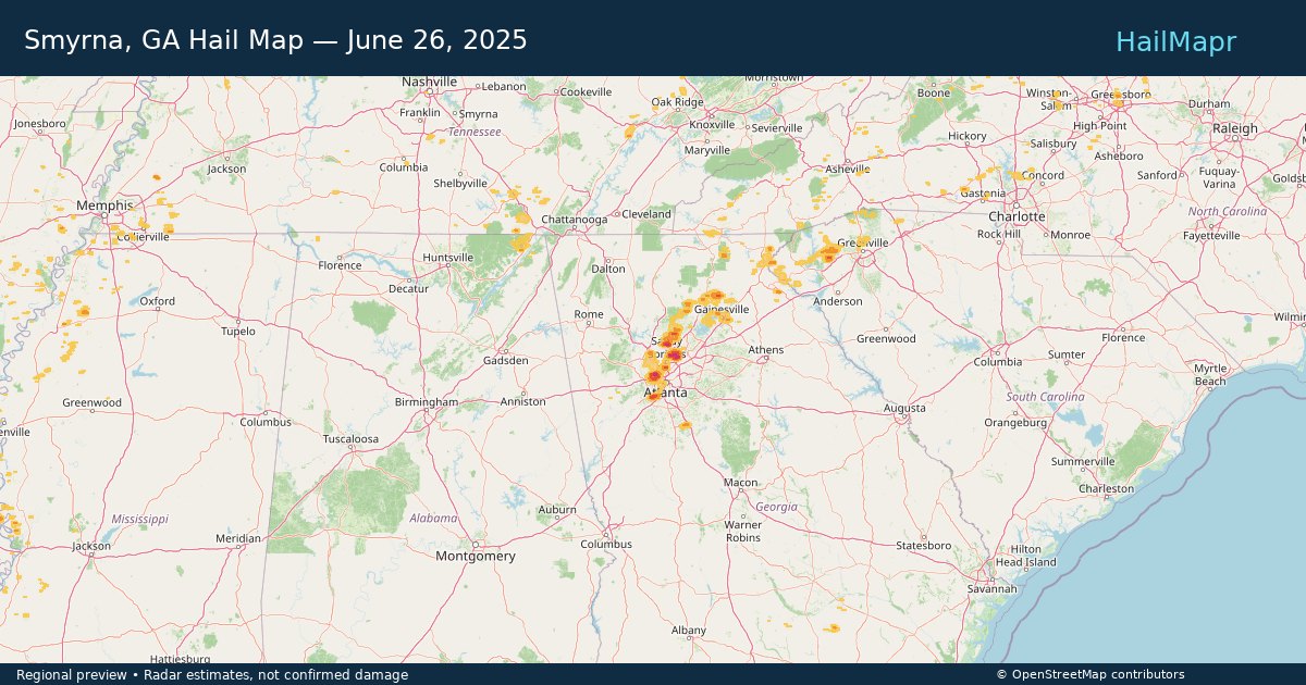
Smyrna, GA — June 26, 2025 — regional hail footprint preview
Storm footprint preview

Local hail summary for the Smyrna area: 3.84 square miles of estimated ground-hail footprint; highest mapped band 2+ inches. 0 official hail report(s) within the summary area. Exposure estimates are not confirmed property damage. Open the map to explore the full coverage included in your access. Statistics cover the mapped hail footprint inside the Census boundary of Smyrna, GA, not the entire region. The place had 55,663 residents in the 2020 Census. A boundary intersection does not mean the whole community was hit. Estimated housing exposure: 3,305 units in 1-inch-or-larger bands, including 1,700 in 1.5-inch-or-larger bands and 1 in 2-inch-or-larger bands.

Affected states: Smyrna area, GA
2+ inRadar size estimate 8,593Population Affected 3,876Houses Affected HailHazards FreeAccount signup
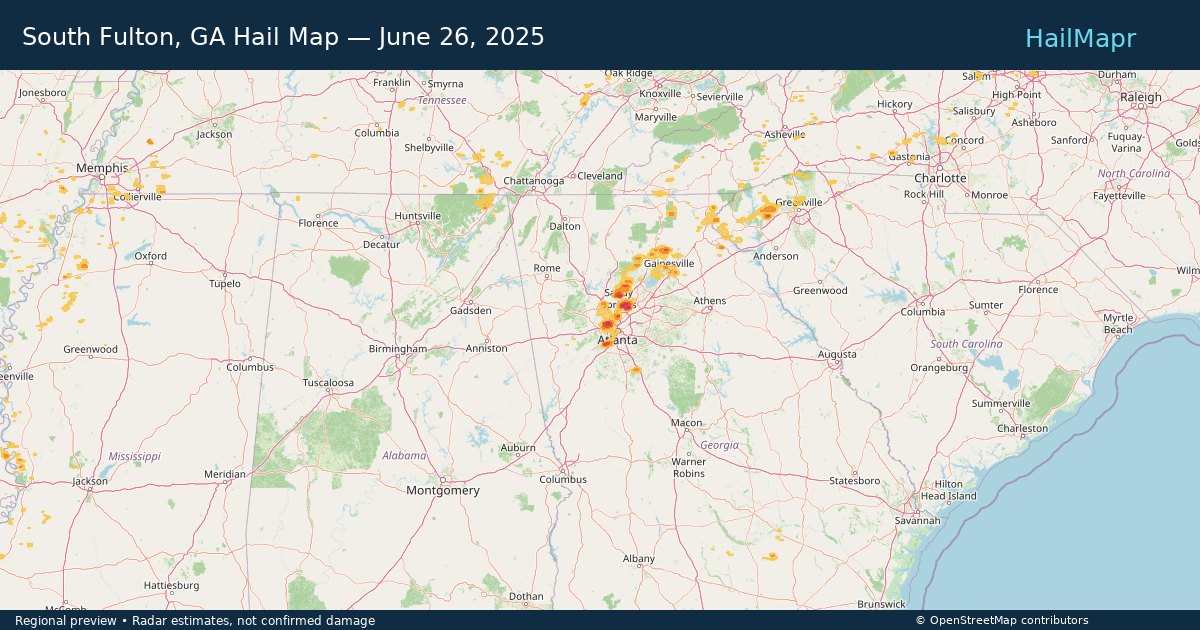
South Fulton, GA — June 26, 2025 — regional hail footprint preview
Storm footprint preview

Local hail summary for the South Fulton area: 5.25 square miles of estimated ground-hail footprint; highest mapped band 1.5+ inches. 0 official hail report(s) within the summary area. Exposure estimates are not confirmed property damage. Open the map to explore the full coverage included in your access. Statistics cover the mapped hail footprint inside the Census boundary of South Fulton, GA, not the entire region. The place had 107,436 residents in the 2020 Census. A boundary intersection does not mean the whole community was hit. Estimated housing exposure: 3,173 units in 1-inch-or-larger bands, including 741 in 1.5-inch-or-larger bands and 0 in 2-inch-or-larger bands.

Affected states: South Fulton area, GA
1.5+ inRadar size estimate 7,210Population Affected 3,193Houses Affected HailHazards FreeAccount signup
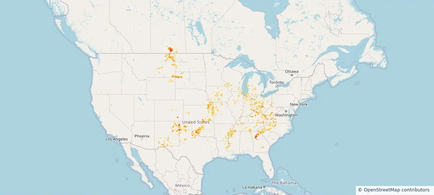
Historical Hail — 2025-06-26 — regional hail footprint preview
Storm footprint preview
Jun 26, 2025 7:00 AM to Jun 27, 2025 7:00 AM CST

Historical Hail — 2025-06-26

Hail as large as 1.00 inches was reported near Cliff, KENTUCKY. Wind up to 87 mph was reported near Wichita, KANSAS. 31 tornadoes were reported, including one near Deuel, SOUTH DAKOTA. The storm had 3 official hail reports.

Affected states: National, AL, AR, CO, GA, IL, IN, IA, KS, KY, LA, MI, MN, MS, MO, MT, NE, NM, NC, ND, OH, OK, PA, SC, SD, TN, TX, VA, WV, WI, WY
2.4 inRadar size estimate 1,147,892Population Affected 496,143Houses Affected Hail · Wind · TornadoHazards FreeAccount signup
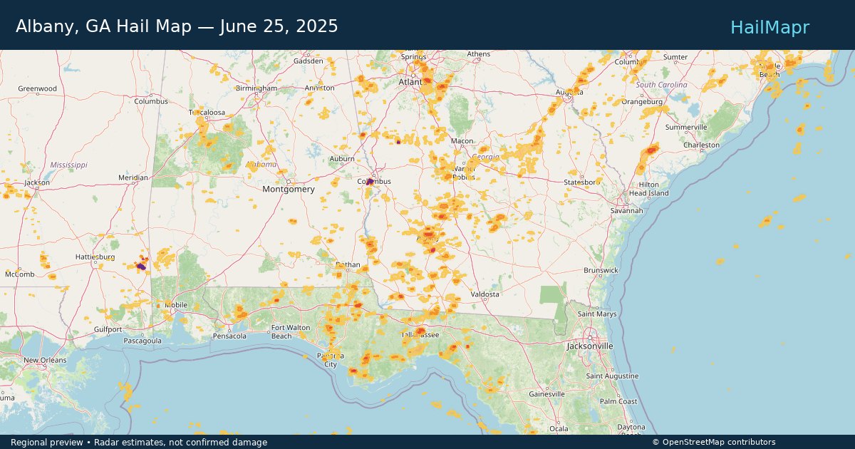
Albany, GA — June 25, 2025 — regional hail footprint preview
Storm footprint preview

Local hail summary for the Albany area: 2.34 square miles of estimated ground-hail footprint; highest mapped band 1+ inches. 0 official hail report(s) within the summary area. Exposure estimates are not confirmed property damage. Open the map to explore the full coverage included in your access. Statistics cover the mapped hail footprint inside the Census boundary of Albany, GA, not the entire region. The place had 69,647 residents in the 2020 Census. A boundary intersection does not mean the whole community was hit. Estimated housing exposure: 1,093 units in 1-inch-or-larger bands, including 0 in 1.5-inch-or-larger bands and 0 in 2-inch-or-larger bands.

Affected states: Albany area, GA
1+ inRadar size estimate 4,703Population Affected 2,288Houses Affected HailHazards FreeAccount signup
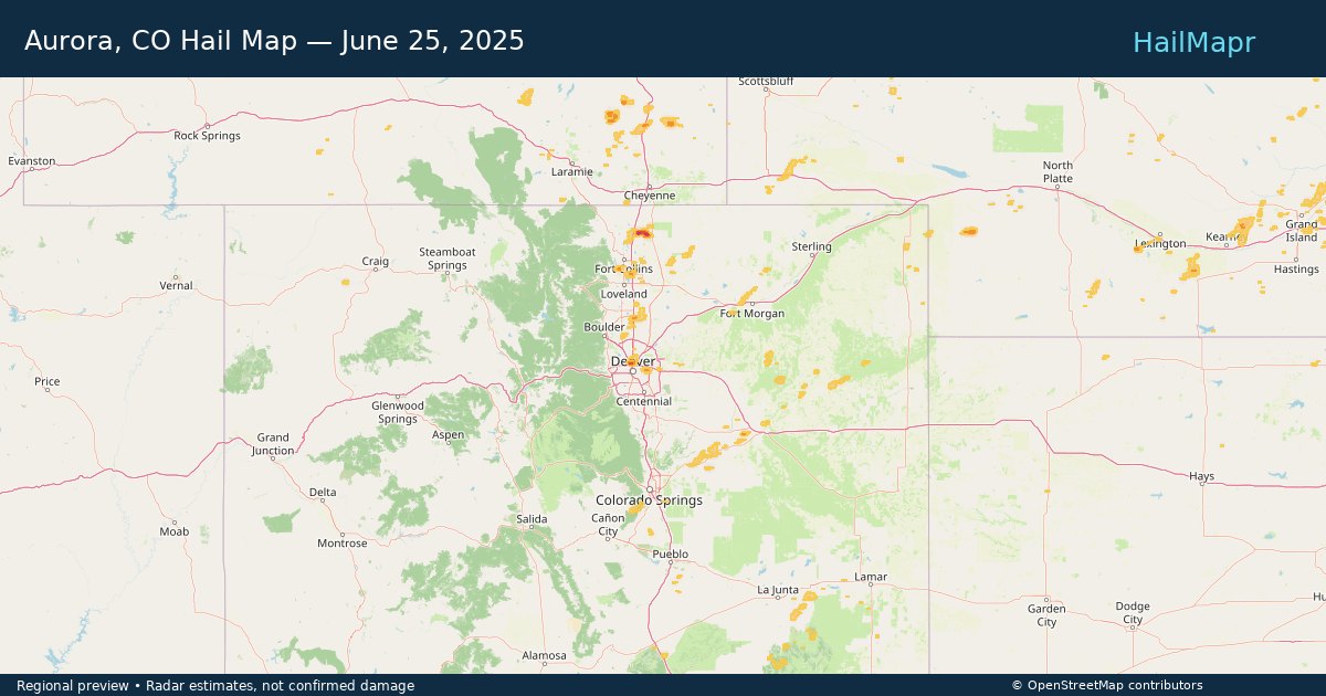
Aurora, CO — June 25, 2025 — regional hail footprint preview
Storm footprint preview

Local hail summary for the Aurora area: 10.25 square miles of estimated ground-hail footprint; highest mapped band 1+ inches. 0 official hail report(s) within the summary area. Exposure estimates are not confirmed property damage. Open the map to explore the full coverage included in your access. Statistics cover the mapped hail footprint inside the Census boundary of Aurora, CO, not the entire region. The place had 386,261 residents in the 2020 Census. A boundary intersection does not mean the whole community was hit. Estimated housing exposure: 8,435 units in 1-inch-or-larger bands, including 0 in 1.5-inch-or-larger bands and 0 in 2-inch-or-larger bands.

Affected states: Aurora area, CO
1+ inRadar size estimate 69,428Population Affected 24,680Houses Affected HailHazards FreeAccount signup
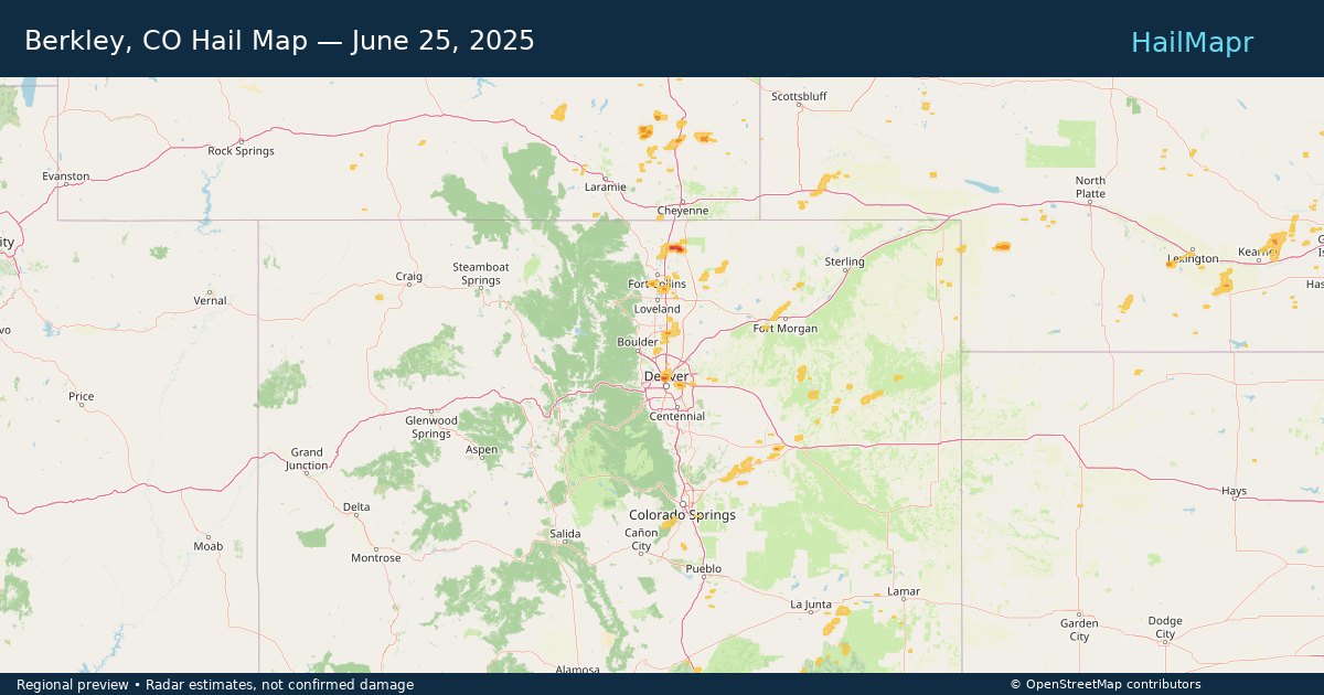
Berkley, CO — June 25, 2025 — regional hail footprint preview
Storm footprint preview

Local hail summary for the Berkley area: 2.11 square miles of estimated ground-hail footprint; highest mapped band 1.5+ inches. 0 official hail report(s) within the summary area. Exposure estimates are not confirmed property damage. Open the map to explore the full coverage included in your access. Statistics cover the mapped hail footprint inside the Census boundary of Berkley, CO, not the entire region. The place had 12,536 residents in the 2020 Census. A boundary intersection does not mean the whole community was hit. Estimated housing exposure: 1,443 units in 1-inch-or-larger bands, including 1 in 1.5-inch-or-larger bands and 0 in 2-inch-or-larger bands.

Affected states: Berkley area, CO
1.5+ inRadar size estimate 5,476Population Affected 1,979Houses Affected HailHazards FreeAccount signup
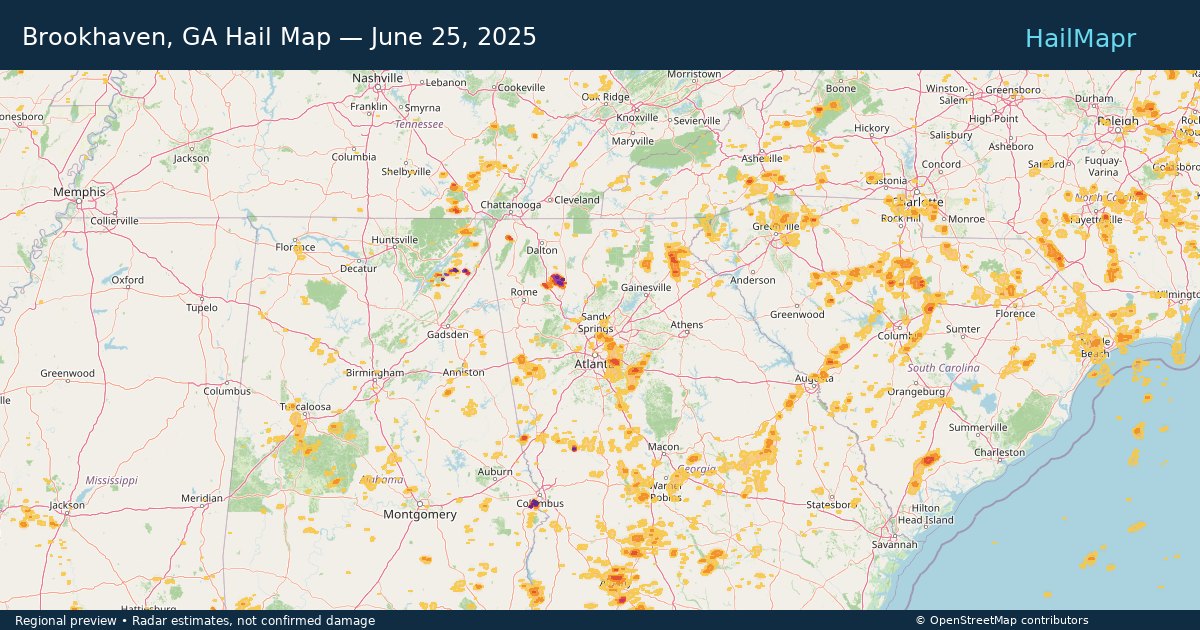
Brookhaven, GA — June 25, 2025 — regional hail footprint preview
Storm footprint preview

Local hail summary for the Brookhaven area: 3.24 square miles of estimated ground-hail footprint; highest mapped band 1+ inches. 0 official hail report(s) within the summary area. Exposure estimates are not confirmed property damage. Open the map to explore the full coverage included in your access. Statistics cover the mapped hail footprint inside the Census boundary of Brookhaven, GA, not the entire region. The place had 55,161 residents in the 2020 Census. A boundary intersection does not mean the whole community was hit. Estimated housing exposure: 797 units in 1-inch-or-larger bands, including 0 in 1.5-inch-or-larger bands and 0 in 2-inch-or-larger bands.

Affected states: Brookhaven area, GA
1+ inRadar size estimate 8,710Population Affected 3,783Houses Affected HailHazards FreeAccount signup
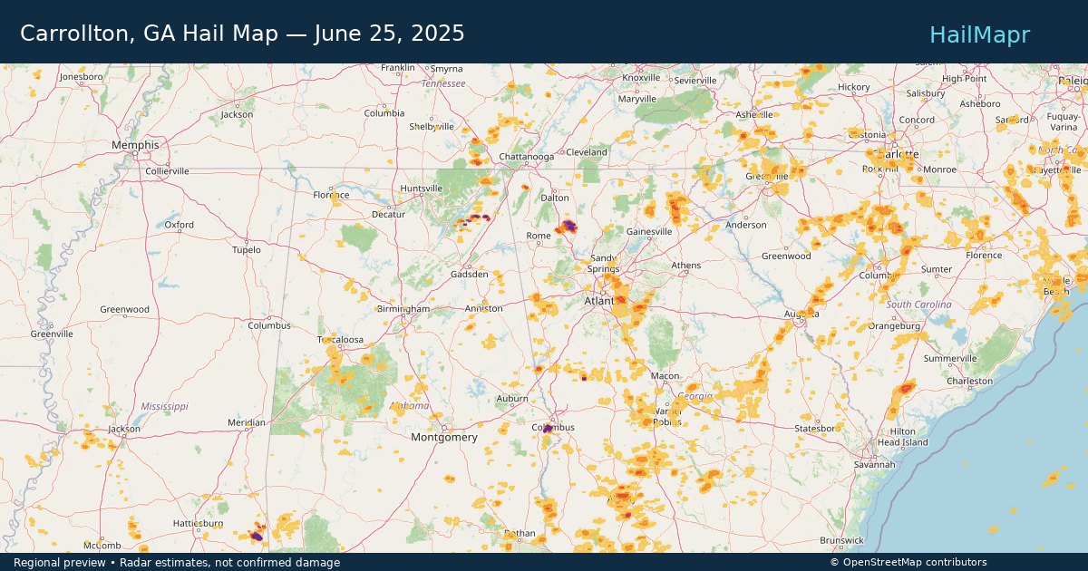
Carrollton, GA — June 25, 2025 — regional hail footprint preview
Storm footprint preview

Local hail summary for the Carrollton area: 4.02 square miles of estimated ground-hail footprint; highest mapped band 1+ inches. 0 official hail report(s) within the summary area. Exposure estimates are not confirmed property damage. Open the map to explore the full coverage included in your access. Statistics cover the mapped hail footprint inside the Census boundary of Carrollton, GA, not the entire region. The place had 26,738 residents in the 2020 Census. A boundary intersection does not mean the whole community was hit. Estimated housing exposure: 643 units in 1-inch-or-larger bands, including 0 in 1.5-inch-or-larger bands and 0 in 2-inch-or-larger bands.

Affected states: Carrollton area, GA
1+ inRadar size estimate 8,916Population Affected 2,995Houses Affected HailHazards FreeAccount signup
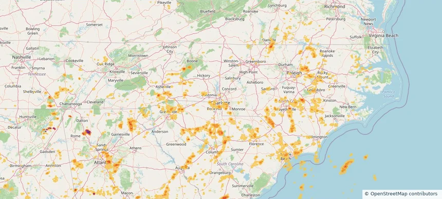
Charlotte, NC — June 25, 2025 — regional hail footprint preview
Storm footprint preview

Local hail summary for the Charlotte area: 2.80 square miles of estimated ground-hail footprint; highest mapped band 1+ inches. 0 official hail report(s) within the summary area. Exposure estimates are not confirmed property damage. Open the map to explore the full coverage included in your access. Statistics cover the mapped hail footprint inside the Census boundary of Charlotte, NC, not the entire region. The place had 874,579 residents in the 2020 Census. A boundary intersection does not mean the whole community was hit. Estimated housing exposure: 1,925 units in 1-inch-or-larger bands, including 0 in 1.5-inch-or-larger bands and 0 in 2-inch-or-larger bands.

Affected states: Charlotte area, NC
1+ inRadar size estimate 14,163Population Affected 6,079Houses Affected HailHazards FreeAccount signup
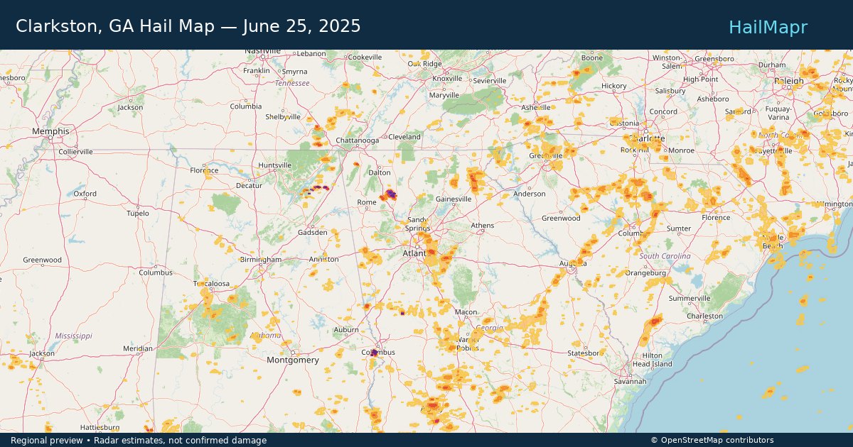
Clarkston, GA — June 25, 2025 — regional hail footprint preview
Storm footprint preview

Local hail summary for the Clarkston area: 1.15 square miles of estimated ground-hail footprint; highest mapped band 1+ inches. 0 official hail report(s) within the summary area. Exposure estimates are not confirmed property damage. Open the map to explore the full coverage included in your access. Statistics cover the mapped hail footprint inside the Census boundary of Clarkston, GA, not the entire region. The place had 14,756 residents in the 2020 Census. A boundary intersection does not mean the whole community was hit. Estimated housing exposure: 1,121 units in 1-inch-or-larger bands, including 0 in 1.5-inch-or-larger bands and 0 in 2-inch-or-larger bands.

Affected states: Clarkston area, GA
1+ inRadar size estimate 9,780Population Affected 3,674Houses Affected HailHazards FreeAccount signup
Clearwater, FL — June 25, 2025 — regional hail footprint preview
Storm footprint preview

Local hail summary for the Clearwater area: 5.34 square miles of estimated ground-hail footprint; highest mapped band 1.5+ inches. 0 official hail report(s) within the summary area. Exposure estimates are not confirmed property damage. Open the map to explore the full coverage included in your access. Statistics cover the mapped hail footprint inside the Census boundary of Clearwater, FL, not the entire region. The place had 117,292 residents in the 2020 Census. A boundary intersection does not mean the whole community was hit. Estimated housing exposure: 2,781 units in 1-inch-or-larger bands, including 1 in 1.5-inch-or-larger bands and 0 in 2-inch-or-larger bands.

Affected states: Clearwater area, FL
1.5+ inRadar size estimate 13,776Population Affected 6,562Houses Affected HailHazards FreeAccount signup
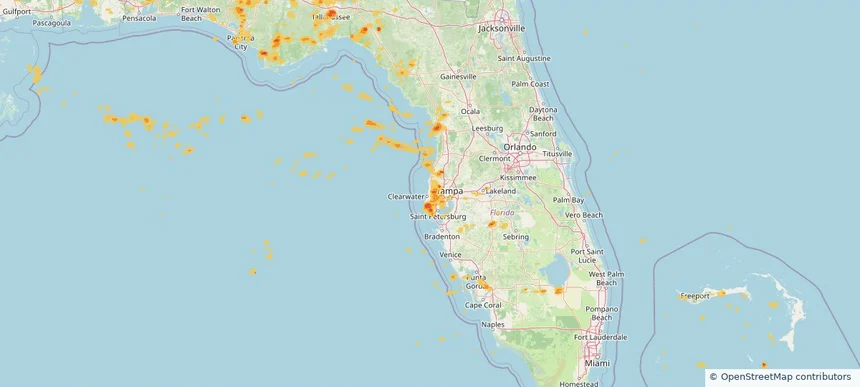
Covington, GA — June 25, 2025 — regional hail footprint preview
Storm footprint preview

Local hail summary for the Covington area: 1.32 square miles of estimated ground-hail footprint; highest mapped band 1+ inches. 0 official hail report(s) within the summary area. Exposure estimates are not confirmed property damage. Open the map to explore the full coverage included in your access. Statistics cover the mapped hail footprint inside the Census boundary of Covington, GA, not the entire region. The place had 14,192 residents in the 2020 Census. A boundary intersection does not mean the whole community was hit. Estimated housing exposure: 629 units in 1-inch-or-larger bands, including 0 in 1.5-inch-or-larger bands and 0 in 2-inch-or-larger bands.

Affected states: Covington area, GA
1+ inRadar size estimate 1,789Population Affected 787Houses Affected HailHazards FreeAccount signup
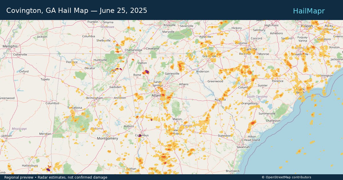
Denver, CO — June 25, 2025 — regional hail footprint preview
Storm footprint preview

Local hail summary for the Denver area: 2.37 square miles of estimated ground-hail footprint; highest mapped band 1+ inches. 0 official hail report(s) within the summary area. Exposure estimates are not confirmed property damage. Open the map to explore the full coverage included in your access. Statistics cover the mapped hail footprint inside the Census boundary of Denver, CO, not the entire region. The place had 715,522 residents in the 2020 Census. A boundary intersection does not mean the whole community was hit. Estimated housing exposure: 723 units in 1-inch-or-larger bands, including 0 in 1.5-inch-or-larger bands and 0 in 2-inch-or-larger bands.

Affected states: Denver area, CO
1+ inRadar size estimate 12,404Population Affected 4,631Houses Affected HailHazards FreeAccount signup
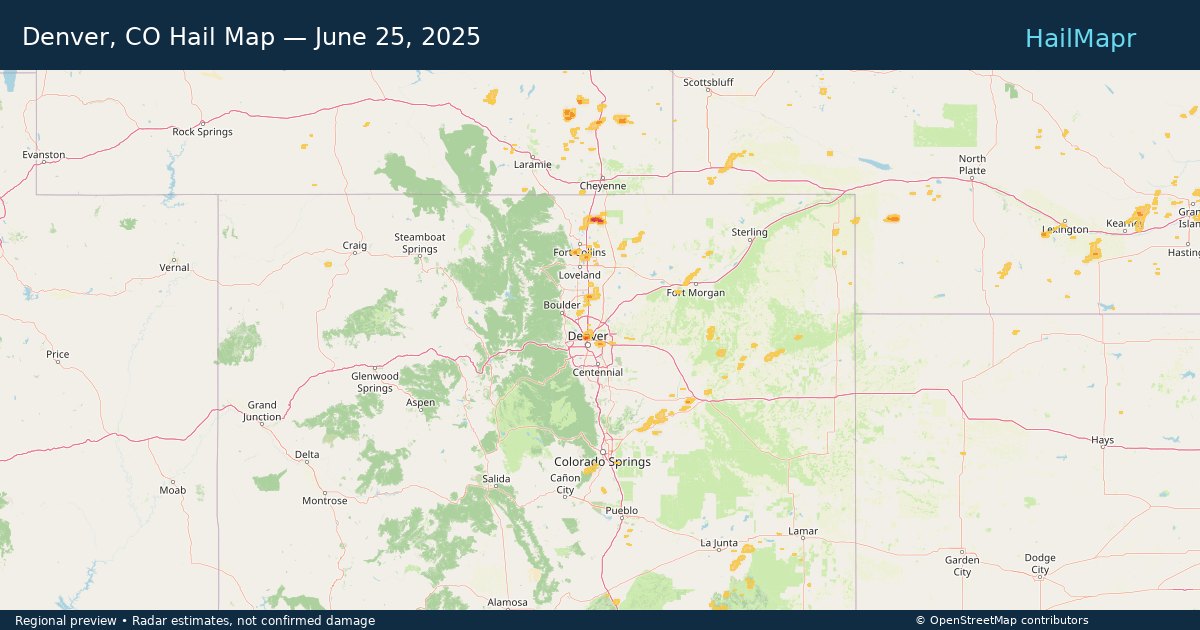
Dunwoody, GA — June 25, 2025 — regional hail footprint preview
Storm footprint preview

Local hail summary for the Dunwoody area: 2.87 square miles of estimated ground-hail footprint; highest mapped band 1+ inches. 0 official hail report(s) within the summary area. Exposure estimates are not confirmed property damage. Open the map to explore the full coverage included in your access. Statistics cover the mapped hail footprint inside the Census boundary of Dunwoody, GA, not the entire region. The place had 51,683 residents in the 2020 Census. A boundary intersection does not mean the whole community was hit. Estimated housing exposure: 3,764 units in 1-inch-or-larger bands, including 0 in 1.5-inch-or-larger bands and 0 in 2-inch-or-larger bands.

Affected states: Dunwoody area, GA
1+ inRadar size estimate 16,711Population Affected 8,229Houses Affected HailHazards FreeAccount signup
Page 80 of 100
‹ 1 79 80 81 100 ›

Frequently asked questions

Can I search hail maps by coverage area?

Yes. The storm library supports coverage-area filtering so you can find hail maps and hail swaths in a target service area.

What kinds of storms appear in the HailMapr library?

The library focuses on published hail events, including ready storm maps and live storms once hail has been detected and a public swath is available.

Are HailMapr storm pages useful for roofers and adjusters?

Yes. They are built to help roofers, adjusters, restoration teams, and property owners review storm footprints before purchase.