Storm library

Browse live and recent hail maps.

Review storm footprints, hail swaths, reports, and replay access. Create a free account to save your setup and move into map access when a storm matters.

Search filters
Clear
Newest storms first by default.
Don't see your storm? Request a qualifying storm map and we'll email you when it is ready.
Showing 1873-1896 of 2393 storms · Page 79 of 100
‹ 1 78 79 80 100 ›
Request a storm map

Tell us about the storm and we'll build the map. Once it's published you'll get an email and can purchase it from the library — just like any other event.

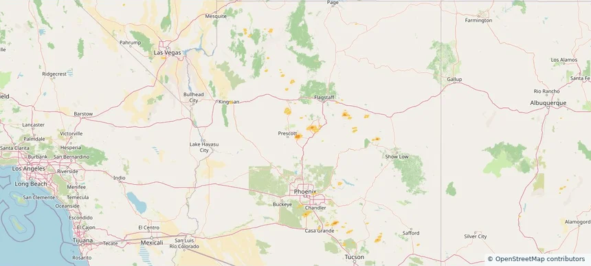
Prescott Valley, AZ — July 03, 2025 — regional hail footprint preview
Storm footprint preview

Local hail summary for the Prescott Valley area: 5.41 square miles of estimated ground-hail footprint; highest mapped band 1+ inches. 0 official hail report(s) within the summary area. Exposure estimates are not confirmed property damage. Open the map to explore the full coverage included in your access. Statistics cover the mapped hail footprint inside the Census boundary of Prescott Valley, AZ, not the entire region. The place had 46,785 residents in the 2020 Census. A boundary intersection does not mean the whole community was hit. Estimated housing exposure: 2,325 units in 1-inch-or-larger bands, including 0 in 1.5-inch-or-larger bands and 0 in 2-inch-or-larger bands.

Affected states: Prescott Valley area, AZ
1+ inRadar size estimate 4,174Population Affected 2,529Houses Affected HailHazards FreeAccount signup
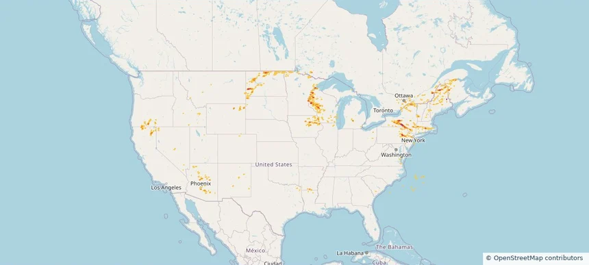
Historical Hail — 2025-07-03 — regional hail footprint preview
Storm footprint preview
Jul 3, 2025 7:00 AM to Jul 4, 2025 7:00 AM CST

Historical Hail — 2025-07-03

Hail as large as 1.75 inches was reported near (Bgm)Binghamton Arpt, NEW YORK. Wind up to 107 mph was reported near 3 miles southeast of Parshall, ND. 4 tornadoes were reported, including one near Bolivar, MISSISSIPPI. The storm had 17 official hail reports.

Affected states: National, AZ, AR, CA, CO, CT, ID, IA, LA, ME, MA, MI, MN, MS, MT, NV, NH, NJ, NM, NY, ND, OR, PA, RI, SD, UT, VT, VA, WI, WY
3.0 inRadar size estimate 826,420Population Affected 365,710Houses Affected Hail · Wind · TornadoHazards FreeAccount signup
Rapid City, SD — July 01, 2025 — regional hail footprint preview
Storm footprint preview

Local hail summary for the Rapid City area: 13.69 square miles of estimated ground-hail footprint; highest mapped band 2+ inches. 0 official hail report(s) within the summary area. Exposure estimates are not confirmed property damage. Open the map to explore the full coverage included in your access. Statistics cover the mapped hail footprint inside the Census boundary of Rapid City, SD, not the entire region. The place had 74,703 residents in the 2020 Census. A boundary intersection does not mean the whole community was hit. Estimated housing exposure: 4,445 units in 1-inch-or-larger bands, including 1,985 in 1.5-inch-or-larger bands and 101 in 2-inch-or-larger bands.

Affected states: Rapid City area, SD
2+ inRadar size estimate 16,611Population Affected 7,972Houses Affected HailHazards FreeAccount signup
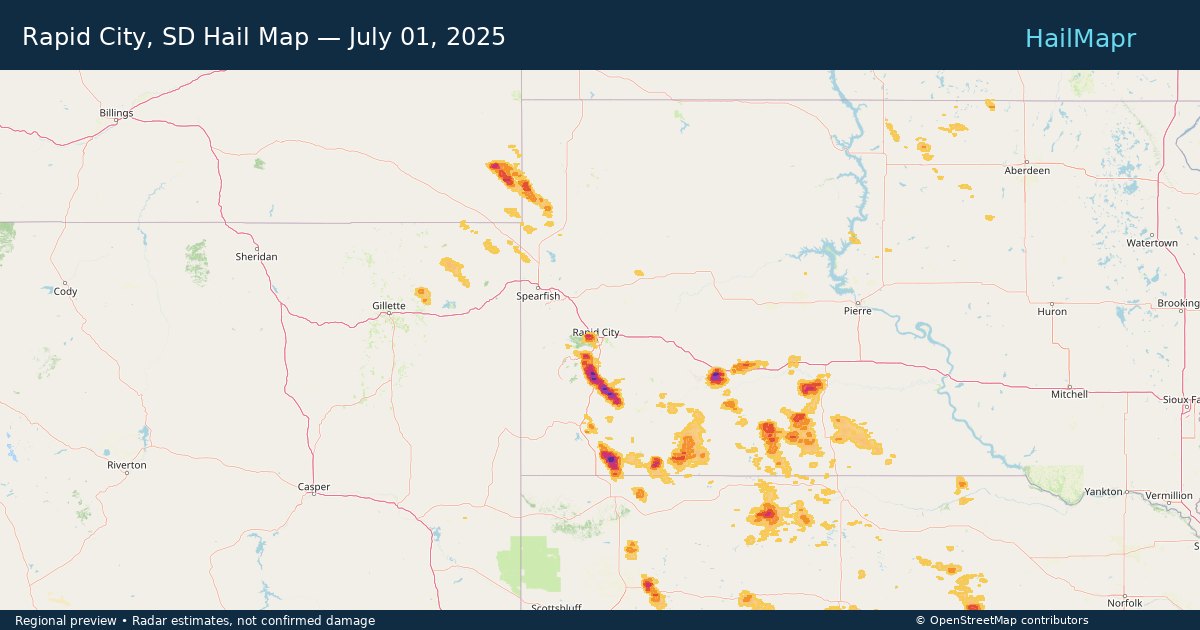
Historical Hail — 2025-07-01 — regional hail footprint preview
Storm footprint preview
Jul 1, 2025 7:00 AM to Jul 2, 2025 7:00 AM CST

Historical Hail — 2025-07-01

Hail as large as 1.75 inches was reported near Cactus Flats, SOUTH DAKOTA. Wind up to 89 mph was reported near 10 miles east-southeast of Oelrichs, SD. The storm had 4 official hail reports.

Affected states: National, CO, MT, NE, ND, SD, WY
3.0 inRadar size estimate 39,875Population Affected 16,483Houses Affected Hail · WindHazards FreeAccount signup
Derby, KS — June 29, 2025 — regional hail footprint preview
Storm footprint preview

Local hail summary for the Derby area: 3.10 square miles of estimated ground-hail footprint; highest mapped band 1.5+ inches. 0 official hail report(s) within the summary area. Exposure estimates are not confirmed property damage. Open the map to explore the full coverage included in your access. Statistics cover the mapped hail footprint inside the Census boundary of Derby, KS, not the entire region. The place had 25,625 residents in the 2020 Census. A boundary intersection does not mean the whole community was hit. Estimated housing exposure: 2,263 units in 1-inch-or-larger bands, including 353 in 1.5-inch-or-larger bands and 0 in 2-inch-or-larger bands.

Affected states: Derby area, KS
1.5+ inRadar size estimate 7,383Population Affected 2,872Houses Affected HailHazards FreeAccount signup
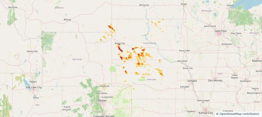
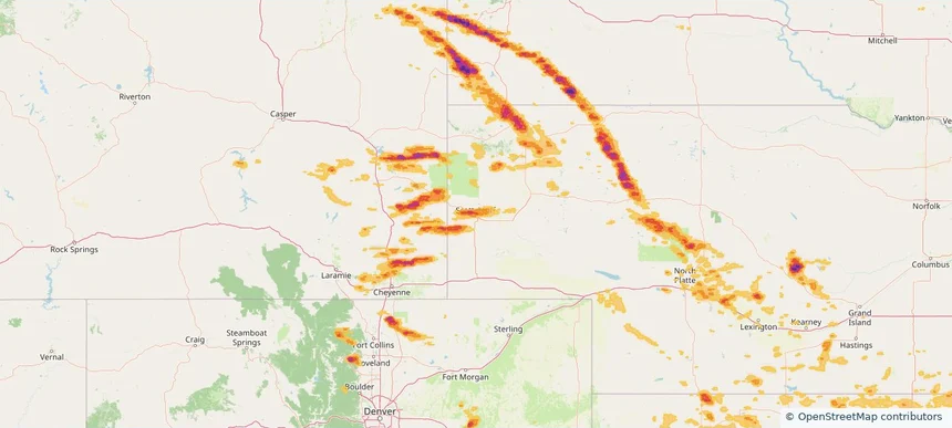
Scottsbluff, NE — June 29, 2025 — regional hail footprint preview
Storm footprint preview

Local hail summary for the Scottsbluff area: 6.15 square miles of estimated ground-hail footprint; highest mapped band 1+ inches. 0 official hail report(s) within the summary area. Exposure estimates are not confirmed property damage. Open the map to explore the full coverage included in your access. Statistics cover the mapped hail footprint inside the Census boundary of Scottsbluff, NE, not the entire region. The place had 14,436 residents in the 2020 Census. A boundary intersection does not mean the whole community was hit. Estimated housing exposure: 4,798 units in 1-inch-or-larger bands, including 0 in 1.5-inch-or-larger bands and 0 in 2-inch-or-larger bands.

Affected states: Scottsbluff area, NE
1+ inRadar size estimate 14,282Population Affected 6,693Houses Affected HailHazards FreeAccount signup
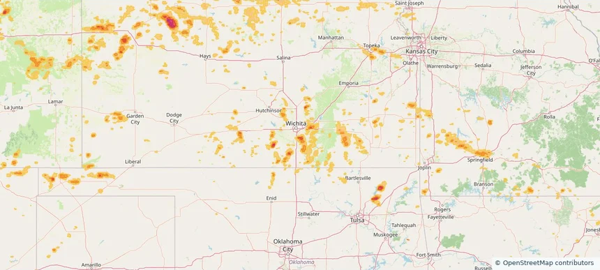
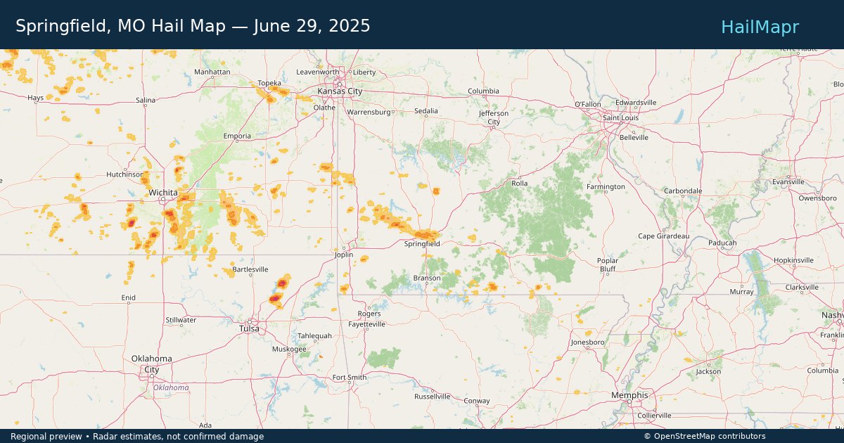
Springfield, MO — June 29, 2025 — regional hail footprint preview
Storm footprint preview

Local hail summary for the Springfield area: 21.24 square miles of estimated ground-hail footprint; highest mapped band 1+ inches. 0 official hail report(s) within the summary area. Exposure estimates are not confirmed property damage. Open the map to explore the full coverage included in your access. Statistics cover the mapped hail footprint inside the Census boundary of Springfield, MO, not the entire region. The place had 169,176 residents in the 2020 Census. A boundary intersection does not mean the whole community was hit. Estimated housing exposure: 11,061 units in 1-inch-or-larger bands, including 0 in 1.5-inch-or-larger bands and 0 in 2-inch-or-larger bands.

Affected states: Springfield area, MO
1+ inRadar size estimate 28,761Population Affected 13,761Houses Affected HailHazards FreeAccount signup
Historical Hail — 2025-06-29 — regional hail footprint preview
Storm footprint preview
Jun 29, 2025 7:00 AM to Jun 30, 2025 7:00 AM CST

Historical Hail — 2025-06-29

Hail as large as 2.30 inches was reported near Janise, NEBRASKA. Wind up to 94 mph was reported near 2 miles east-northeast of Butler, WI. 9 tornadoes were reported, including one near Deuel, SOUTH DAKOTA. The storm had 25 official hail reports.

Affected states: National, AL, AR, CO, DE, GA, IL, IA, KS, MD, MI, MN, MO, NE, NJ, NM, NC, OK, SD, TN, TX, VA, WV, WI, WY
3.45 inRadar size estimate 486,362Population Affected 213,793Houses Affected Hail · Wind · TornadoHazards FreeAccount signup
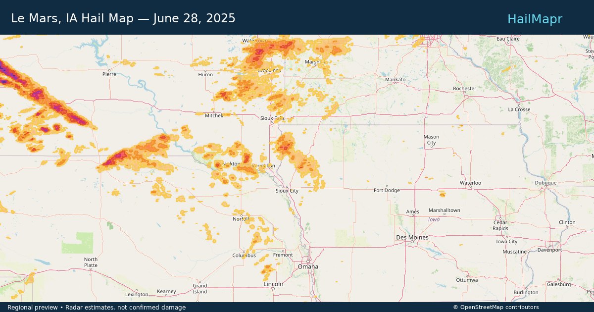
Le Mars, IA — June 28, 2025 — regional hail footprint preview
Storm footprint preview

Local hail summary for the Le Mars area: 0.90 square miles of estimated ground-hail footprint; highest mapped band 1+ inches. 0 official hail report(s) within the summary area. Exposure estimates are not confirmed property damage. Open the map to explore the full coverage included in your access. Statistics cover the mapped hail footprint inside the Census boundary of Le Mars, IA, not the entire region. The place had 10,571 residents in the 2020 Census. A boundary intersection does not mean the whole community was hit. Estimated housing exposure: 342 units in 1-inch-or-larger bands, including 0 in 1.5-inch-or-larger bands and 0 in 2-inch-or-larger bands.

Affected states: Le Mars area, IA
1+ inRadar size estimate 869Population Affected 364Houses Affected HailHazards FreeAccount signup
Willmar, MN — June 28, 2025 — regional hail footprint preview
Storm footprint preview

Local hail summary for the Willmar area: 3.95 square miles of estimated ground-hail footprint; highest mapped band 1+ inches. 0 official hail report(s) within the summary area. Exposure estimates are not confirmed property damage. Open the map to explore the full coverage included in your access. Statistics cover the mapped hail footprint inside the Census boundary of Willmar, MN, not the entire region. The place had 21,015 residents in the 2020 Census. A boundary intersection does not mean the whole community was hit. Estimated housing exposure: 106 units in 1-inch-or-larger bands, including 0 in 1.5-inch-or-larger bands and 0 in 2-inch-or-larger bands.

Affected states: Willmar area, MN
1+ inRadar size estimate 6,124Population Affected 2,531Houses Affected HailHazards FreeAccount signup
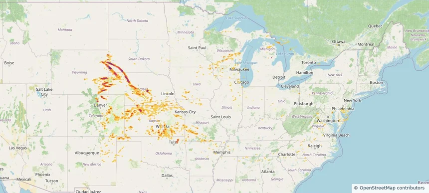
Historical Hail — 2025-06-28 — regional hail footprint preview
Storm footprint preview
Jun 28, 2025 7:00 AM to Jun 29, 2025 7:00 AM CST

Historical Hail — 2025-06-28

Hail as large as 4.50 inches was reported near Cactus Flats, SOUTH DAKOTA. Wind up to 104 mph was reported near 17 miles north-northwest of New Haven, WY. 46 tornadoes were reported, including one near Deuel, SOUTH DAKOTA. The storm had 30 official hail reports.

Affected states: National, CO, IN, IA, KS, KY, MD, MI, MN, MO, MT, NE, NY, ND, OH, PA, SD, VA, WV, WI, WY
5.14 inRadar size estimate 657,211Population Affected 281,428Houses Affected Hail · Wind · TornadoHazards FreeAccount signup
Atlanta, GA — June 27, 2025 — regional hail footprint preview
Storm footprint preview

Local hail summary for the Atlanta area: 10.49 square miles of estimated ground-hail footprint; highest mapped band 1.5+ inches. 0 official hail report(s) within the summary area. Exposure estimates are not confirmed property damage. Open the map to explore the full coverage included in your access. Statistics cover the mapped hail footprint inside the Census boundary of Atlanta, GA, not the entire region. The place had 498,715 residents in the 2020 Census. A boundary intersection does not mean the whole community was hit. Estimated housing exposure: 4,253 units in 1-inch-or-larger bands, including 24 in 1.5-inch-or-larger bands and 0 in 2-inch-or-larger bands.

Affected states: Atlanta area, GA
1.5+ inRadar size estimate 21,338Population Affected 8,144Houses Affected HailHazards FreeAccount signup
Birmingham, AL — June 27, 2025 — regional hail footprint preview
Storm footprint preview

Local hail summary for the Birmingham area: 0.92 square miles of estimated ground-hail footprint; highest mapped band 1+ inches. 1 official hail report(s) within the summary area. Exposure estimates are not confirmed property damage. Open the map to explore the full coverage included in your access. Statistics cover the mapped hail footprint inside the Census boundary of Birmingham, AL, not the entire region. The place had 200,733 residents in the 2020 Census. A boundary intersection does not mean the whole community was hit. Estimated housing exposure: 292 units in 1-inch-or-larger bands, including 0 in 1.5-inch-or-larger bands and 0 in 2-inch-or-larger bands.

Affected states: Birmingham area, AL
1+ inRadar size estimate 1,830Population Affected 820Houses Affected HailHazards FreeAccount signup
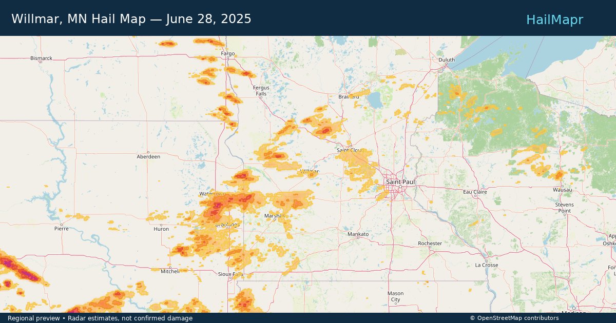
Chamblee, GA — June 27, 2025 — regional hail footprint preview
Storm footprint preview

Local hail summary for the Chamblee area: 1.85 square miles of estimated ground-hail footprint; highest mapped band 1+ inches. 0 official hail report(s) within the summary area. Exposure estimates are not confirmed property damage. Open the map to explore the full coverage included in your access. Statistics cover the mapped hail footprint inside the Census boundary of Chamblee, GA, not the entire region. The place had 30,164 residents in the 2020 Census. A boundary intersection does not mean the whole community was hit. Estimated housing exposure: 3,221 units in 1-inch-or-larger bands, including 0 in 1.5-inch-or-larger bands and 0 in 2-inch-or-larger bands.

Affected states: Chamblee area, GA
1+ inRadar size estimate 9,222Population Affected 3,221Houses Affected HailHazards FreeAccount signup
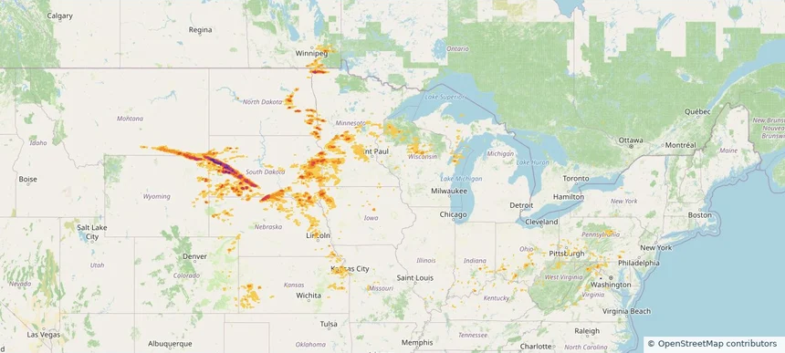
Chattanooga, TN — June 27, 2025 — regional hail footprint preview
Storm footprint preview

Local hail summary for the Chattanooga area: 4.09 square miles of estimated ground-hail footprint; highest mapped band 1+ inches. 0 official hail report(s) within the summary area. Exposure estimates are not confirmed property damage. Open the map to explore the full coverage included in your access. Statistics cover the mapped hail footprint inside the Census boundary of Chattanooga, TN, not the entire region. The place had 181,099 residents in the 2020 Census. A boundary intersection does not mean the whole community was hit. Estimated housing exposure: 4,049 units in 1-inch-or-larger bands, including 0 in 1.5-inch-or-larger bands and 0 in 2-inch-or-larger bands.

Affected states: Chattanooga area, TN
1+ inRadar size estimate 9,393Population Affected 4,752Houses Affected HailHazards FreeAccount signup
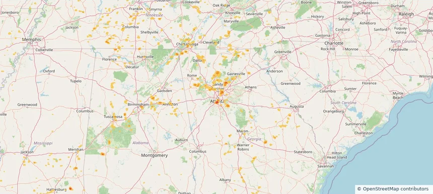
Doraville, GA — June 27, 2025 — regional hail footprint preview
Storm footprint preview

Local hail summary for the Doraville area: 4.21 square miles of estimated ground-hail footprint; highest mapped band 1+ inches. 0 official hail report(s) within the summary area. Exposure estimates are not confirmed property damage. Open the map to explore the full coverage included in your access. Statistics cover the mapped hail footprint inside the Census boundary of Doraville, GA, not the entire region. The place had 10,623 residents in the 2020 Census. A boundary intersection does not mean the whole community was hit. Estimated housing exposure: 3,413 units in 1-inch-or-larger bands, including 0 in 1.5-inch-or-larger bands and 0 in 2-inch-or-larger bands.

Affected states: Doraville area, GA
1+ inRadar size estimate 10,239Population Affected 3,598Houses Affected HailHazards FreeAccount signup
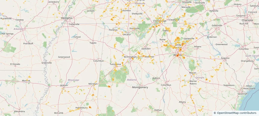
Irondale, AL — June 27, 2025 — regional hail footprint preview
Storm footprint preview

Local hail summary for the Irondale area: 3.91 square miles of estimated ground-hail footprint; highest mapped band 1+ inches. 0 official hail report(s) within the summary area. Exposure estimates are not confirmed property damage. Open the map to explore the full coverage included in your access. Statistics cover the mapped hail footprint inside the Census boundary of Irondale, AL, not the entire region. The place had 13,497 residents in the 2020 Census. A boundary intersection does not mean the whole community was hit. Estimated housing exposure: 1,715 units in 1-inch-or-larger bands, including 0 in 1.5-inch-or-larger bands and 0 in 2-inch-or-larger bands.

Affected states: Irondale area, AL
1+ inRadar size estimate 5,460Population Affected 2,626Houses Affected HailHazards FreeAccount signup
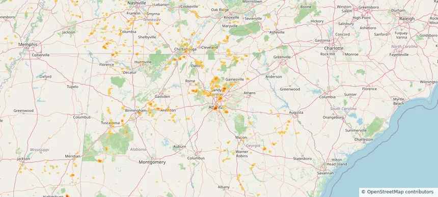
Peachtree Corners, GA — June 27, 2025 — regional hail footprint preview
Storm footprint preview

Local hail summary for the Peachtree Corners area: 0.80 square miles of estimated ground-hail footprint; highest mapped band 1+ inches. 0 official hail report(s) within the summary area. Exposure estimates are not confirmed property damage. Open the map to explore the full coverage included in your access. Statistics cover the mapped hail footprint inside the Census boundary of Peachtree Corners, GA, not the entire region. The place had 42,243 residents in the 2020 Census. A boundary intersection does not mean the whole community was hit. Estimated housing exposure: 239 units in 1-inch-or-larger bands, including 0 in 1.5-inch-or-larger bands and 0 in 2-inch-or-larger bands.

Affected states: Peachtree Corners area, GA
1+ inRadar size estimate 809Population Affected 278Houses Affected HailHazards FreeAccount signup
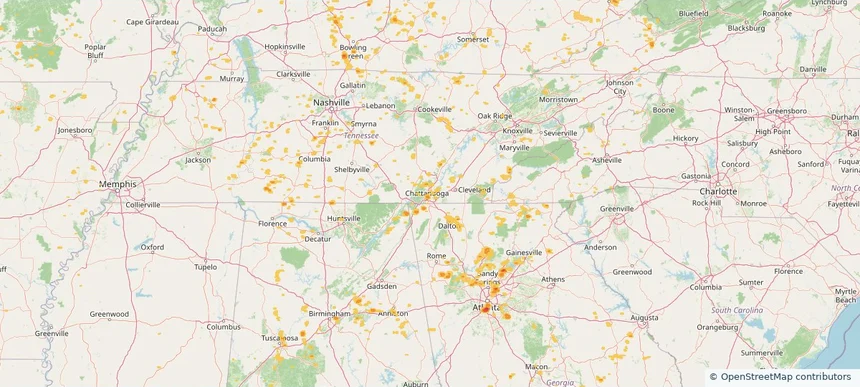
Historical Hail — 2025-06-27 — regional hail footprint preview
Storm footprint preview
Jun 27, 2025 7:00 AM to Jun 28, 2025 7:00 AM CST

Historical Hail — 2025-06-27

Hail as large as 2.50 inches was reported near Garrison, NORTH DAKOTA. Wind up to 99 mph was reported near 8 miles east of Corsica, SD. 36 tornadoes were reported, including one near Deuel, SOUTH DAKOTA. The storm had 17 official hail reports.

Affected states: National, AL, AR, CO, FL, GA, IL, IN, IA, KS, KY, LA, MI, MN, MS, MO, NE, NM, NC, ND, OH, OK, SD, TN, TX, VA, WV
3.0 inRadar size estimate 924,371Population Affected 379,614Houses Affected Hail · Wind · TornadoHazards FreeAccount signup
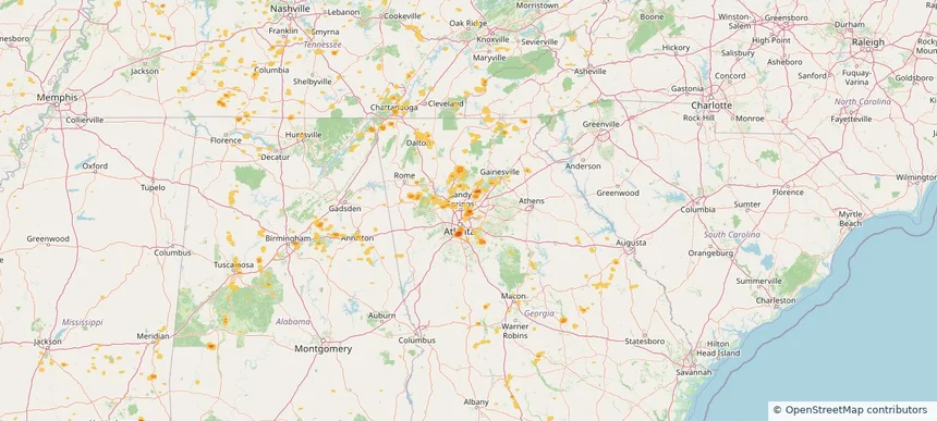
Alpharetta, GA — June 26, 2025 — regional hail footprint preview
Storm footprint preview

Local hail summary for the Alpharetta area: 2.79 square miles of estimated ground-hail footprint; highest mapped band 1+ inches. 0 official hail report(s) within the summary area. Exposure estimates are not confirmed property damage. Open the map to explore the full coverage included in your access. Statistics cover the mapped hail footprint inside the Census boundary of Alpharetta, GA, not the entire region. The place had 65,818 residents in the 2020 Census. A boundary intersection does not mean the whole community was hit. Estimated housing exposure: 671 units in 1-inch-or-larger bands, including 0 in 1.5-inch-or-larger bands and 0 in 2-inch-or-larger bands.

Affected states: Alpharetta area, GA
1+ inRadar size estimate 5,207Population Affected 1,728Houses Affected HailHazards FreeAccount signup
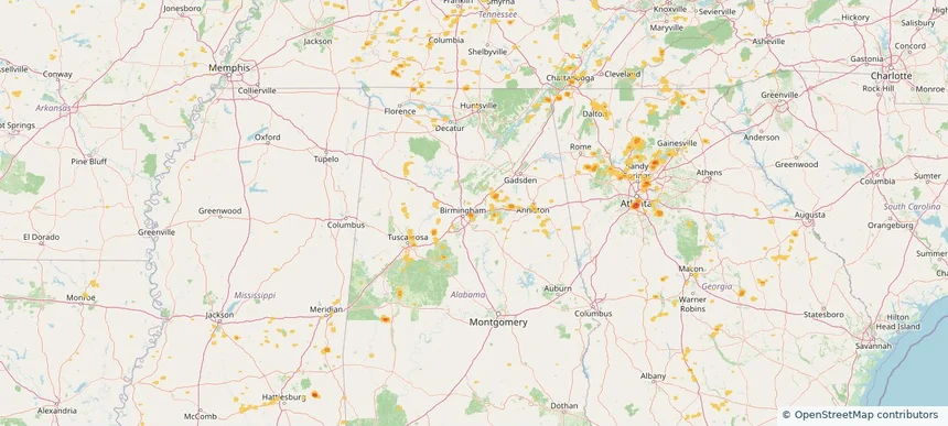
Atlanta, GA — June 26, 2025 — regional hail footprint preview
Storm footprint preview

Local hail summary for the Atlanta area: 19.00 square miles of estimated ground-hail footprint; highest mapped band 2+ inches. 0 official hail report(s) within the summary area. Exposure estimates are not confirmed property damage. Open the map to explore the full coverage included in your access. Statistics cover the mapped hail footprint inside the Census boundary of Atlanta, GA, not the entire region. The place had 498,715 residents in the 2020 Census. A boundary intersection does not mean the whole community was hit. Estimated housing exposure: 11,012 units in 1-inch-or-larger bands, including 2,723 in 1.5-inch-or-larger bands and 0 in 2-inch-or-larger bands.

Affected states: Atlanta area, GA
2+ inRadar size estimate 41,413Population Affected 19,093Houses Affected HailHazards FreeAccount signup
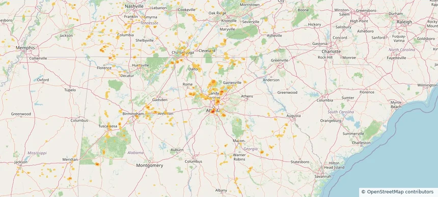
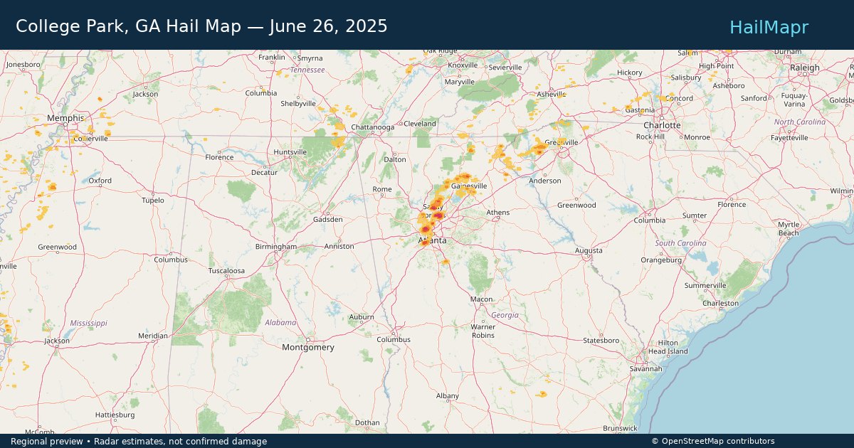
College Park, GA — June 26, 2025 — regional hail footprint preview
Storm footprint preview

Local hail summary for the College Park area: 2.18 square miles of estimated ground-hail footprint; highest mapped band 1+ inches. 0 official hail report(s) within the summary area. Exposure estimates are not confirmed property damage. Open the map to explore the full coverage included in your access. Statistics cover the mapped hail footprint inside the Census boundary of College Park, GA, not the entire region. The place had 13,930 residents in the 2020 Census. A boundary intersection does not mean the whole community was hit. Estimated housing exposure: 1,495 units in 1-inch-or-larger bands, including 0 in 1.5-inch-or-larger bands and 0 in 2-inch-or-larger bands.

Affected states: College Park area, GA
1+ inRadar size estimate 3,292Population Affected 1,518Houses Affected HailHazards FreeAccount signup
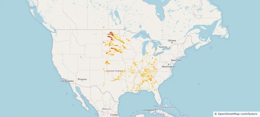
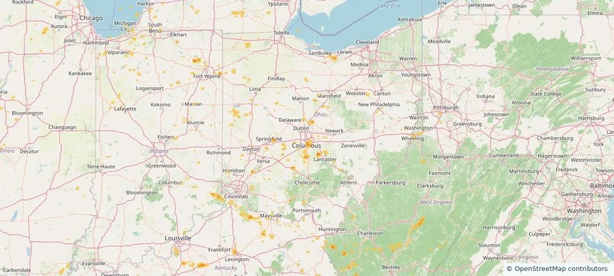
Columbus, OH — June 26, 2025 — regional hail footprint preview
Storm footprint preview

Local hail summary for the Columbus area: 5.26 square miles of estimated ground-hail footprint; highest mapped band 1+ inches. 0 official hail report(s) within the summary area. Exposure estimates are not confirmed property damage. Open the map to explore the full coverage included in your access. Statistics cover the mapped hail footprint inside the Census boundary of Columbus, OH, not the entire region. The place had 905,748 residents in the 2020 Census. A boundary intersection does not mean the whole community was hit. Estimated housing exposure: 1,018 units in 1-inch-or-larger bands, including 0 in 1.5-inch-or-larger bands and 0 in 2-inch-or-larger bands.

Affected states: Columbus area, OH
1+ inRadar size estimate 12,267Population Affected 5,672Houses Affected HailHazards FreeAccount signup
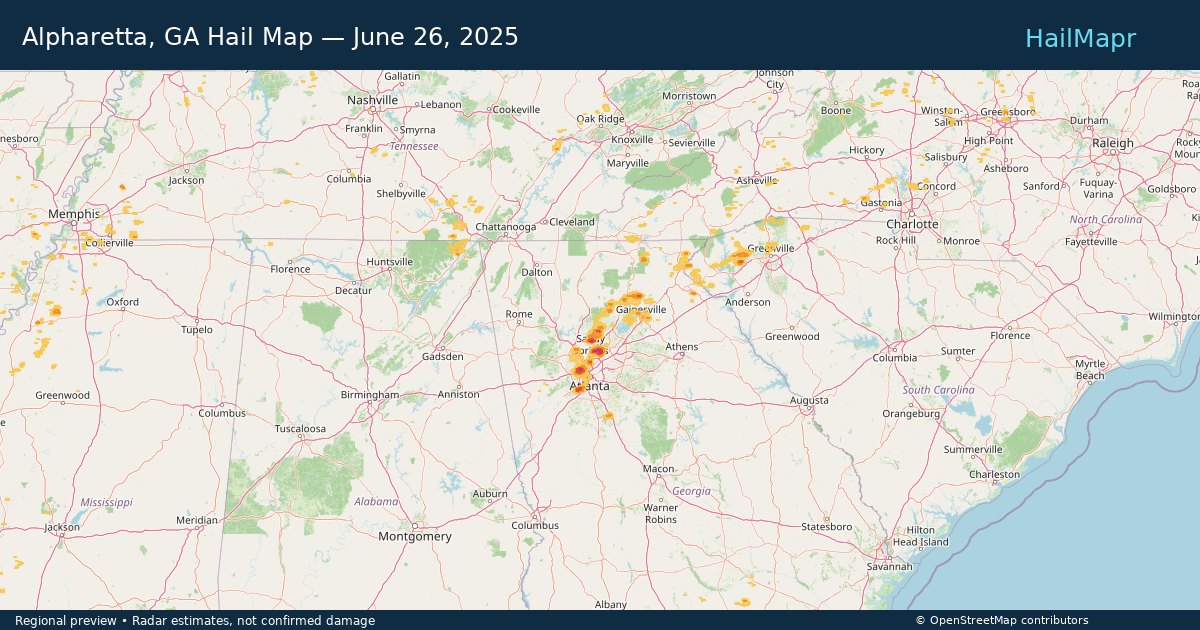
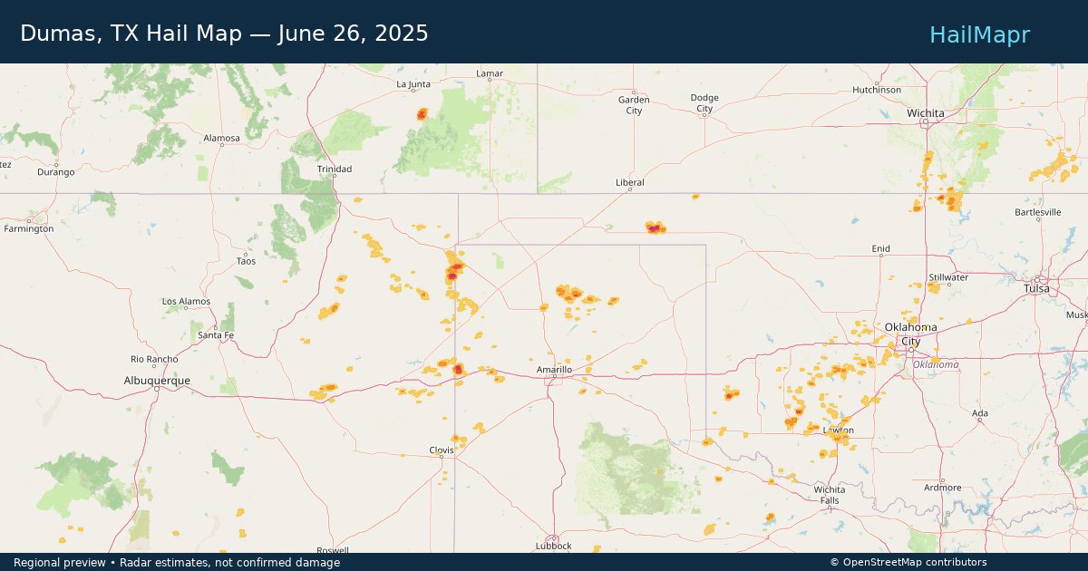
Dumas, TX — June 26, 2025 — regional hail footprint preview
Storm footprint preview

Local hail summary for the Dumas area: 3.02 square miles of estimated ground-hail footprint; highest mapped band 1+ inches. 0 official hail report(s) within the summary area. Exposure estimates are not confirmed property damage. Open the map to explore the full coverage included in your access. Statistics cover the mapped hail footprint inside the Census boundary of Dumas, TX, not the entire region. The place had 14,501 residents in the 2020 Census. A boundary intersection does not mean the whole community was hit. Estimated housing exposure: 1,661 units in 1-inch-or-larger bands, including 0 in 1.5-inch-or-larger bands and 0 in 2-inch-or-larger bands.

Affected states: Dumas area, TX
1+ inRadar size estimate 9,615Population Affected 3,550Houses Affected HailHazards FreeAccount signup
Page 79 of 100
‹ 1 78 79 80 100 ›

Frequently asked questions

Can I search hail maps by coverage area?

Yes. The storm library supports coverage-area filtering so you can find hail maps and hail swaths in a target service area.

What kinds of storms appear in the HailMapr library?

The library focuses on published hail events, including ready storm maps and live storms once hail has been detected and a public swath is available.

Are HailMapr storm pages useful for roofers and adjusters?

Yes. They are built to help roofers, adjusters, restoration teams, and property owners review storm footprints before purchase.