Storm library

Browse live and recent hail maps.

Review storm footprints, hail swaths, reports, and replay access. Create a free account to save your setup and move into map access when a storm matters.

Search filters
Clear
Newest storms first by default.
Don't see your storm? Request a qualifying storm map and we'll email you when it is ready.
Showing 1801-1824 of 2394 storms · Page 76 of 100
‹ 1 75 76 77 100 ›
Request a storm map

Tell us about the storm and we'll build the map. Once it's published you'll get an email and can purchase it from the library — just like any other event.

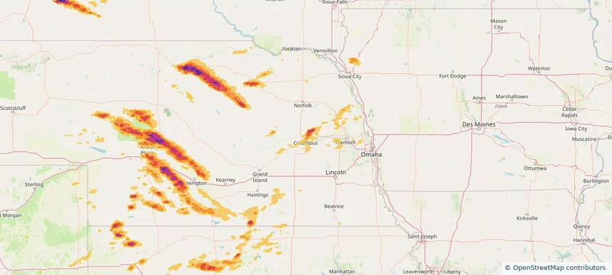
Columbus, NE — July 19, 2025 — regional hail footprint preview
Storm footprint preview

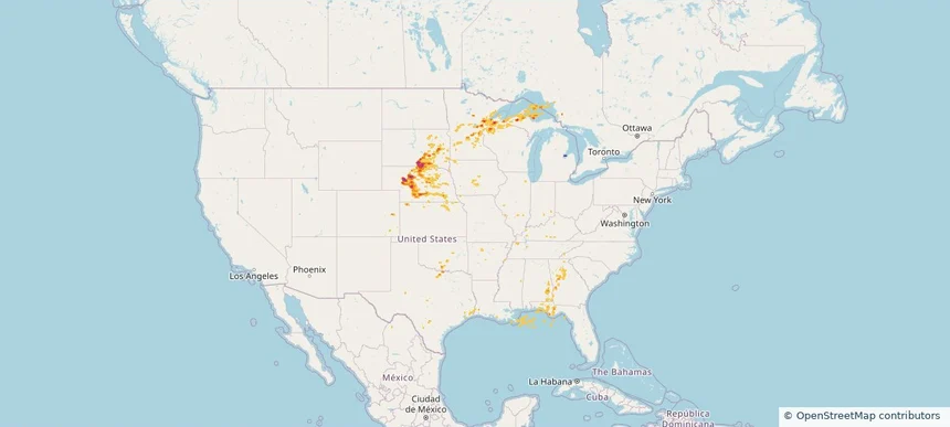
Local hail summary for the Columbus area: 3.06 square miles of estimated ground-hail footprint; highest mapped band 1+ inches. 0 official hail report(s) within the summary area. Exposure estimates are not confirmed property damage. Open the map to explore the full coverage included in your access. Statistics cover the mapped hail footprint inside the Census boundary of Columbus, NE, not the entire region. The place had 24,028 residents in the 2020 Census. A boundary intersection does not mean the whole community was hit. Estimated housing exposure: 1,122 units in 1-inch-or-larger bands, including 0 in 1.5-inch-or-larger bands and 0 in 2-inch-or-larger bands.

Affected states: Columbus area, NE
1+ inRadar size estimate 6,656Population Affected 2,637Houses Affected HailHazards FreeAccount signup
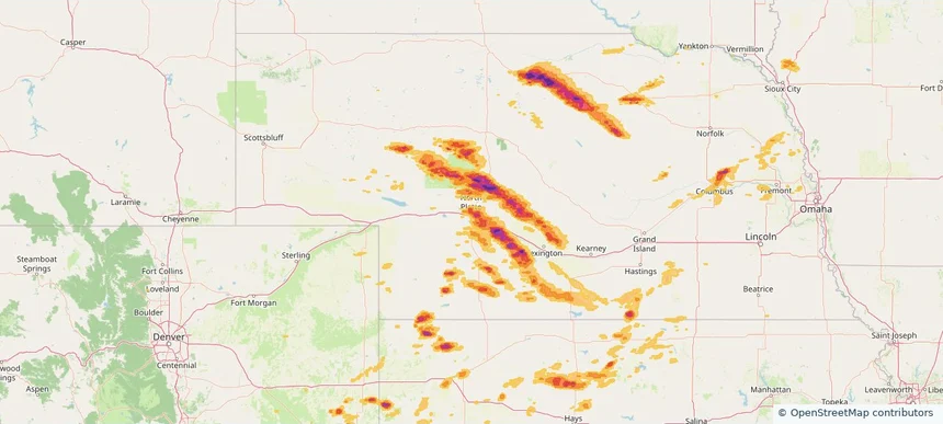
North Platte, NE — July 19, 2025 — regional hail footprint preview
Storm footprint preview

Local hail summary for the North Platte area: 12.53 square miles of estimated ground-hail footprint; highest mapped band 1.5+ inches. 1 official hail report(s) within the summary area. Exposure estimates are not confirmed property damage. Open the map to explore the full coverage included in your access. Statistics cover the mapped hail footprint inside the Census boundary of North Platte, NE, not the entire region. The place had 23,390 residents in the 2020 Census. A boundary intersection does not mean the whole community was hit. Estimated housing exposure: 10,265 units in 1-inch-or-larger bands, including 6,375 in 1.5-inch-or-larger bands and 0 in 2-inch-or-larger bands.

Affected states: North Platte area, NE
1.5+ inRadar size estimate 22,431Population Affected 10,864Houses Affected HailHazards FreeAccount signup
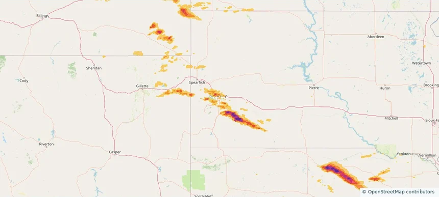
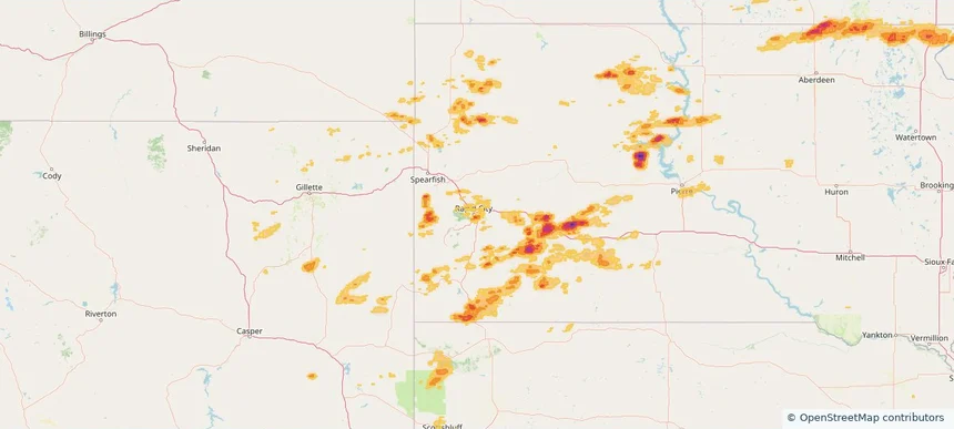
Rapid City, SD — July 19, 2025 — regional hail footprint preview
Storm footprint preview

Local hail summary for the Rapid City area: 4.27 square miles of estimated ground-hail footprint; highest mapped band 1+ inches. 2 official hail report(s) within the summary area. Exposure estimates are not confirmed property damage. Open the map to explore the full coverage included in your access. Statistics cover the mapped hail footprint inside the Census boundary of Rapid City, SD, not the entire region. The place had 74,703 residents in the 2020 Census. A boundary intersection does not mean the whole community was hit. Estimated housing exposure: 275 units in 1-inch-or-larger bands, including 0 in 1.5-inch-or-larger bands and 0 in 2-inch-or-larger bands.

Affected states: Rapid City area, SD
1+ inRadar size estimate 5,127Population Affected 2,202Houses Affected HailHazards FreeAccount signup
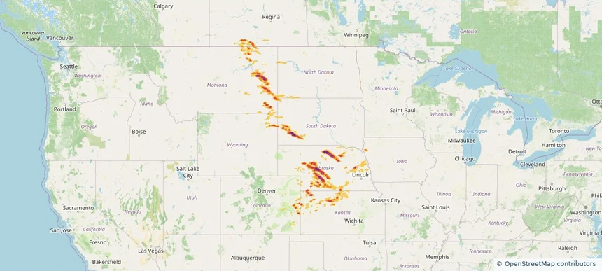
Historical Hail — 2025-07-19 — regional hail footprint preview
Storm footprint preview
Jul 19, 2025 7:00 AM to Jul 20, 2025 7:00 AM CST

Historical Hail — 2025-07-19

Hail as large as 3.00 inches was reported near Tryon, NEBRASKA. Wind up to 108 mph was reported near 9 miles west-southwest of Winona, KS. 8 tornadoes were reported, including one near Cherry, NEBRASKA. The storm had 21 official hail reports.

Affected states: National, CO, IA, KS, MT, NE, ND, SD, WY
4.47 inRadar size estimate 98,747Population Affected 44,676Houses Affected Hail · Wind · TornadoHazards FreeAccount signup
Paducah, KY — July 18, 2025 — regional hail footprint preview
Storm footprint preview

Local hail summary for the Paducah area: 2.20 square miles of estimated ground-hail footprint; highest mapped band 1+ inches. 0 official hail report(s) within the summary area. Exposure estimates are not confirmed property damage. Open the map to explore the full coverage included in your access. Statistics cover the mapped hail footprint inside the Census boundary of Paducah, KY, not the entire region. The place had 27,137 residents in the 2020 Census. A boundary intersection does not mean the whole community was hit. Estimated housing exposure: 192 units in 1-inch-or-larger bands, including 0 in 1.5-inch-or-larger bands and 0 in 2-inch-or-larger bands.

Affected states: Paducah area, KY
1+ inRadar size estimate 599Population Affected 269Houses Affected HailHazards FreeAccount signup
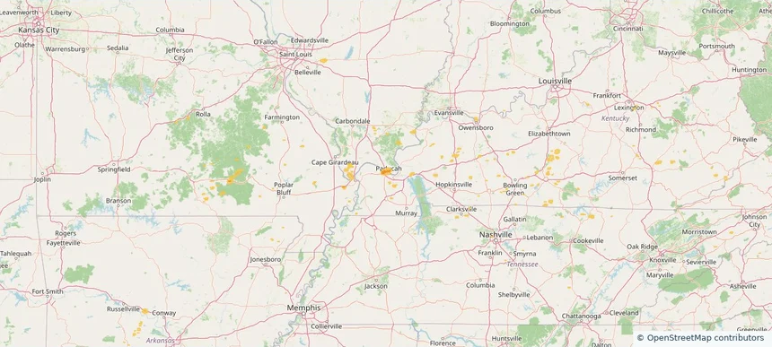
Historical Hail — 2025-07-18 — regional hail footprint preview
Storm footprint preview
Jul 18, 2025 7:00 AM to Jul 19, 2025 7:00 AM CST

Historical Hail — 2025-07-18

Hail as large as 2.00 inches was reported near St Augusta, MINNESOTA. Wind up to 91 mph was reported near Brown, NEBRASKA. 18 tornadoes were reported, including one near Cherry, NEBRASKA. The storm had 17 official hail reports.

Affected states: National, AL, AR, CO, IL, IA, KS, KY, MN, MO, MT, NE, NM, NC, OK, SD, TN, VA, WV, WI, WY
2.5 inRadar size estimate 353,604Population Affected 161,135Houses Affected Hail · Wind · TornadoHazards FreeAccount signup
Historical Hail — 2025-07-17 — regional hail footprint preview
Storm footprint preview
Jul 17, 2025 7:00 AM to Jul 18, 2025 7:00 AM CST

Historical Hail — 2025-07-17

Hail as large as 2.00 inches was reported near Brusett, MONTANA. Wind up to 91 mph was reported near Brown, NEBRASKA. 2 tornadoes were reported, including one near Crook, WYOMING. The storm had 3 official hail reports.

Affected states: National, MT, SD, WY
3.0 inRadar size estimate 2,225Population Affected 1,132Houses Affected Hail · Wind · TornadoHazards FreeAccount signup
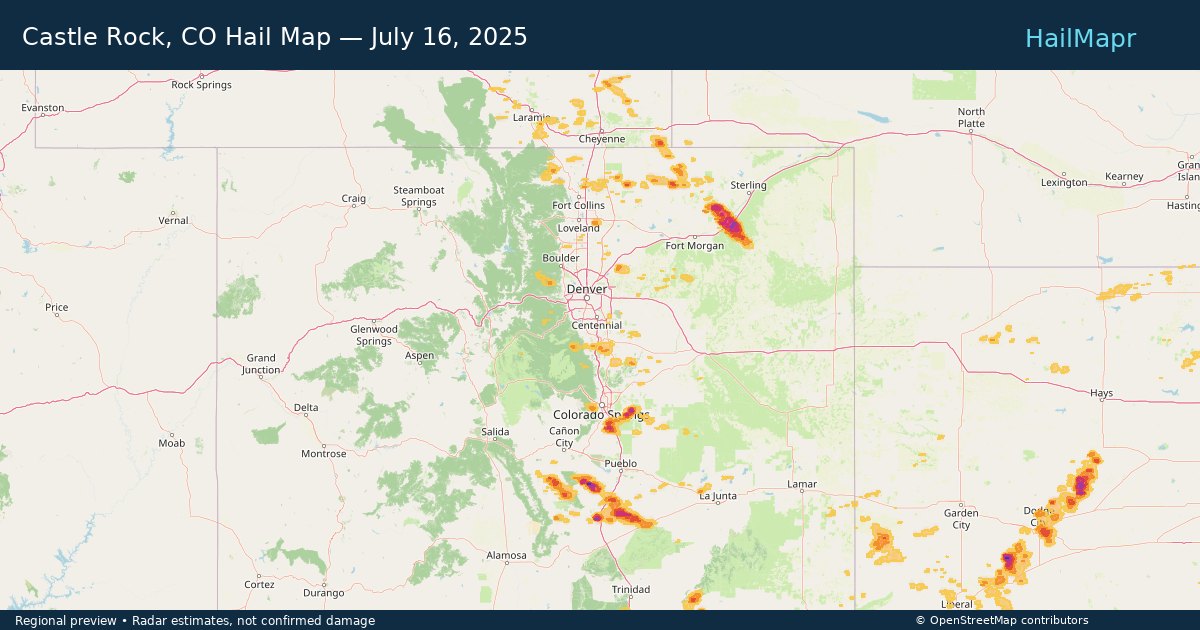
Castle Rock, CO — July 16, 2025 — regional hail footprint preview
Storm footprint preview

Local hail summary for the Castle Rock area: 8.32 square miles of estimated ground-hail footprint; highest mapped band 1+ inches. 0 official hail report(s) within the summary area. Exposure estimates are not confirmed property damage. Open the map to explore the full coverage included in your access. Statistics cover the mapped hail footprint inside the Census boundary of Castle Rock, CO, not the entire region. The place had 73,158 residents in the 2020 Census. A boundary intersection does not mean the whole community was hit. Estimated housing exposure: 761 units in 1-inch-or-larger bands, including 0 in 1.5-inch-or-larger bands and 0 in 2-inch-or-larger bands.

Affected states: Castle Rock area, CO
1+ inRadar size estimate 8,330Population Affected 2,799Houses Affected HailHazards FreeAccount signup
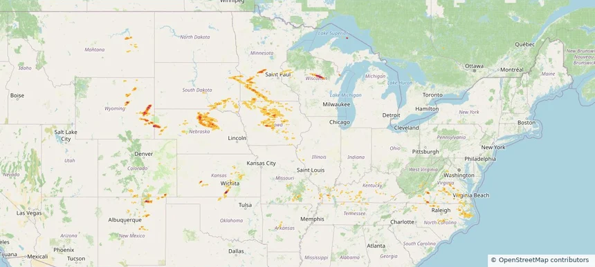
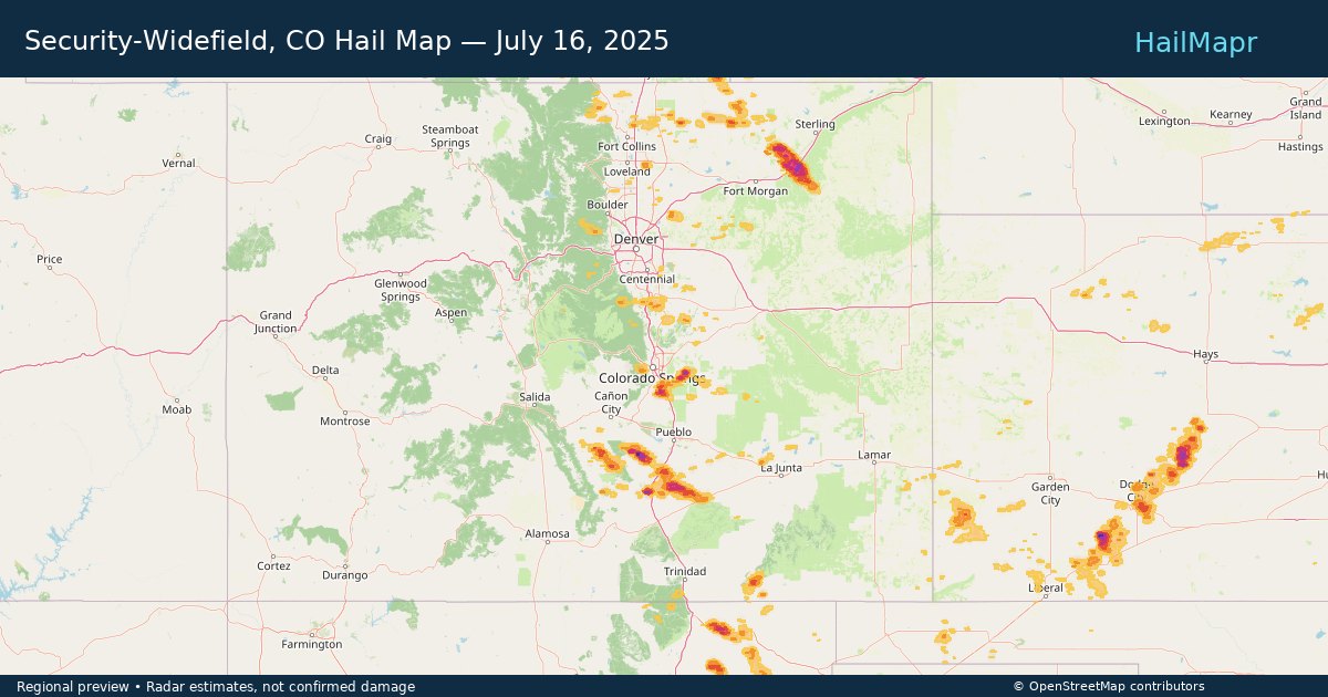
Dodge City, KS — July 16, 2025 — regional hail footprint preview
Storm footprint preview

Local hail summary for the Dodge City area: 9.56 square miles of estimated ground-hail footprint; highest mapped band 1.5+ inches. 0 official hail report(s) within the summary area. Exposure estimates are not confirmed property damage. Open the map to explore the full coverage included in your access. Statistics cover the mapped hail footprint inside the Census boundary of Dodge City, KS, not the entire region. The place had 27,788 residents in the 2020 Census. A boundary intersection does not mean the whole community was hit. Estimated housing exposure: 4,169 units in 1-inch-or-larger bands, including 190 in 1.5-inch-or-larger bands and 0 in 2-inch-or-larger bands.

Affected states: Dodge City area, KS
1.5+ inRadar size estimate 22,348Population Affected 8,039Houses Affected HailHazards FreeAccount signup
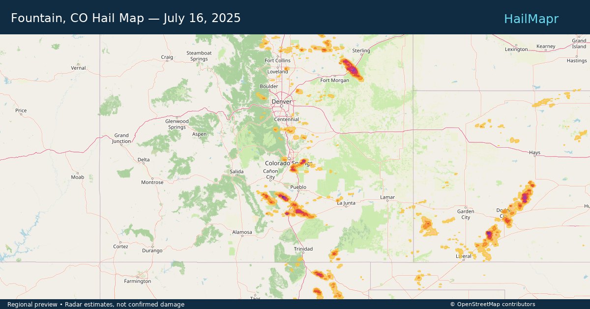
Fountain, CO — July 16, 2025 — regional hail footprint preview
Storm footprint preview

Local hail summary for the Fountain area: 18.10 square miles of estimated ground-hail footprint; highest mapped band 1.5+ inches. 1 official hail report(s) within the summary area. Exposure estimates are not confirmed property damage. Open the map to explore the full coverage included in your access. Statistics cover the mapped hail footprint inside the Census boundary of Fountain, CO, not the entire region. The place had 29,802 residents in the 2020 Census. A boundary intersection does not mean the whole community was hit. Estimated housing exposure: 7,294 units in 1-inch-or-larger bands, including 821 in 1.5-inch-or-larger bands and 0 in 2-inch-or-larger bands.

Affected states: Fountain area, CO
1.5+ inRadar size estimate 27,455Population Affected 9,424Houses Affected HailHazards FreeAccount signup
Gardner, KS — July 16, 2025 — regional hail footprint preview
Storm footprint preview

Local hail summary for the Gardner area: 4.36 square miles of estimated ground-hail footprint; highest mapped band 1+ inches. 0 official hail report(s) within the summary area. Exposure estimates are not confirmed property damage. Open the map to explore the full coverage included in your access. Statistics cover the mapped hail footprint inside the Census boundary of Gardner, KS, not the entire region. The place had 23,287 residents in the 2020 Census. A boundary intersection does not mean the whole community was hit. Estimated housing exposure: 311 units in 1-inch-or-larger bands, including 0 in 1.5-inch-or-larger bands and 0 in 2-inch-or-larger bands.

Affected states: Gardner area, KS
1+ inRadar size estimate 9,765Population Affected 3,434Houses Affected HailHazards FreeAccount signup
Kansas City, KS — July 16, 2025 — regional hail footprint preview
Storm footprint preview

Local hail summary for the Kansas City area: 12.39 square miles of estimated ground-hail footprint; highest mapped band 1+ inches. 0 official hail report(s) within the summary area. Exposure estimates are not confirmed property damage. Open the map to explore the full coverage included in your access. Statistics cover the mapped hail footprint inside the Census boundary of Kansas City, KS, not the entire region. The place had 156,607 residents in the 2020 Census. A boundary intersection does not mean the whole community was hit. Estimated housing exposure: 3,774 units in 1-inch-or-larger bands, including 0 in 1.5-inch-or-larger bands and 0 in 2-inch-or-larger bands.

Affected states: Kansas City area, KS
1+ inRadar size estimate 23,106Population Affected 8,919Houses Affected HailHazards FreeAccount signup
Kansas City, MO — July 16, 2025 — regional hail footprint preview
Storm footprint preview

Local hail summary for the Kansas City area: 2.00 square miles of estimated ground-hail footprint; highest mapped band 1+ inches. 0 official hail report(s) within the summary area. Exposure estimates are not confirmed property damage. Open the map to explore the full coverage included in your access. Statistics cover the mapped hail footprint inside the Census boundary of Kansas City, MO, not the entire region. The place had 508,090 residents in the 2020 Census. A boundary intersection does not mean the whole community was hit. Estimated housing exposure: 138 units in 1-inch-or-larger bands, including 0 in 1.5-inch-or-larger bands and 0 in 2-inch-or-larger bands.

Affected states: Kansas City area, MO
1+ inRadar size estimate 4,274Population Affected 1,649Houses Affected HailHazards FreeAccount signup
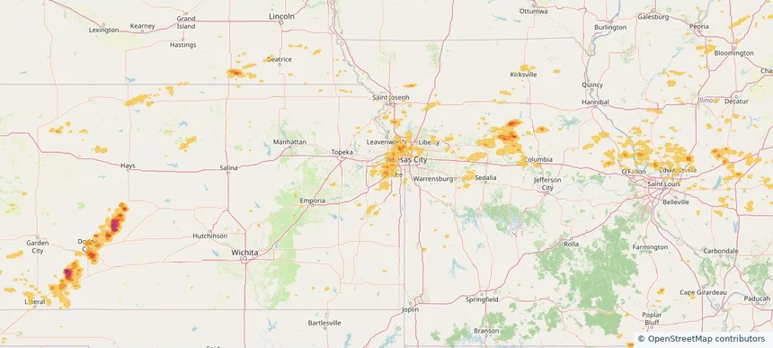
Lenexa, KS — July 16, 2025 — regional hail footprint preview
Storm footprint preview

Local hail summary for the Lenexa area: 0.95 square miles of estimated ground-hail footprint; highest mapped band 1+ inches. 0 official hail report(s) within the summary area. Exposure estimates are not confirmed property damage. Open the map to explore the full coverage included in your access. Statistics cover the mapped hail footprint inside the Census boundary of Lenexa, KS, not the entire region. The place had 57,434 residents in the 2020 Census. A boundary intersection does not mean the whole community was hit. Estimated housing exposure: 248 units in 1-inch-or-larger bands, including 0 in 1.5-inch-or-larger bands and 0 in 2-inch-or-larger bands.

Affected states: Lenexa area, KS
1+ inRadar size estimate 1,693Population Affected 639Houses Affected HailHazards FreeAccount signup
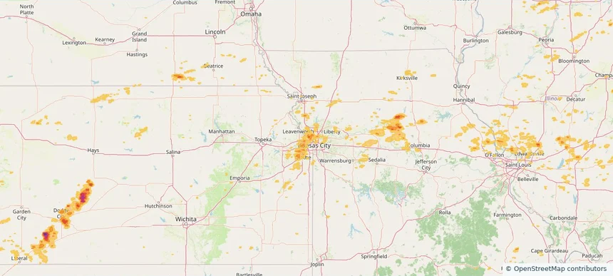
Olathe, KS — July 16, 2025 — regional hail footprint preview
Storm footprint preview

Local hail summary for the Olathe area: 5.32 square miles of estimated ground-hail footprint; highest mapped band 1+ inches. 0 official hail report(s) within the summary area. Exposure estimates are not confirmed property damage. Open the map to explore the full coverage included in your access. Statistics cover the mapped hail footprint inside the Census boundary of Olathe, KS, not the entire region. The place had 141,290 residents in the 2020 Census. A boundary intersection does not mean the whole community was hit. Estimated housing exposure: 288 units in 1-inch-or-larger bands, including 0 in 1.5-inch-or-larger bands and 0 in 2-inch-or-larger bands.

Affected states: Olathe area, KS
1+ inRadar size estimate 5,317Population Affected 1,794Houses Affected HailHazards FreeAccount signup
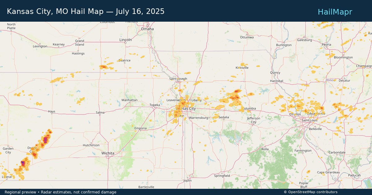
Security-Widefield, CO — July 16, 2025 — regional hail footprint preview
Storm footprint preview

Local hail summary for the Security-Widefield area: 0.92 square miles of estimated ground-hail footprint; highest mapped band 1+ inches. 0 official hail report(s) within the summary area. Exposure estimates are not confirmed property damage. Open the map to explore the full coverage included in your access. Statistics cover the mapped hail footprint inside the Census boundary of Security-Widefield, CO, not the entire region. The place had 38,639 residents in the 2020 Census. A boundary intersection does not mean the whole community was hit. Estimated housing exposure: 503 units in 1-inch-or-larger bands, including 0 in 1.5-inch-or-larger bands and 0 in 2-inch-or-larger bands.

Affected states: Security-Widefield area, CO
1+ inRadar size estimate 4,185Population Affected 1,410Houses Affected HailHazards FreeAccount signup
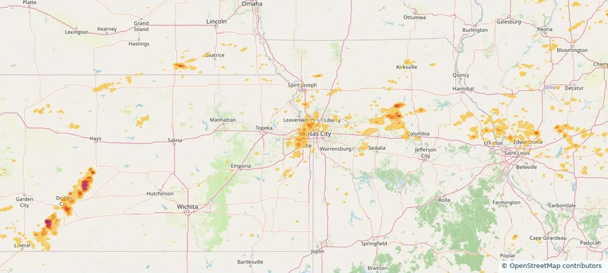
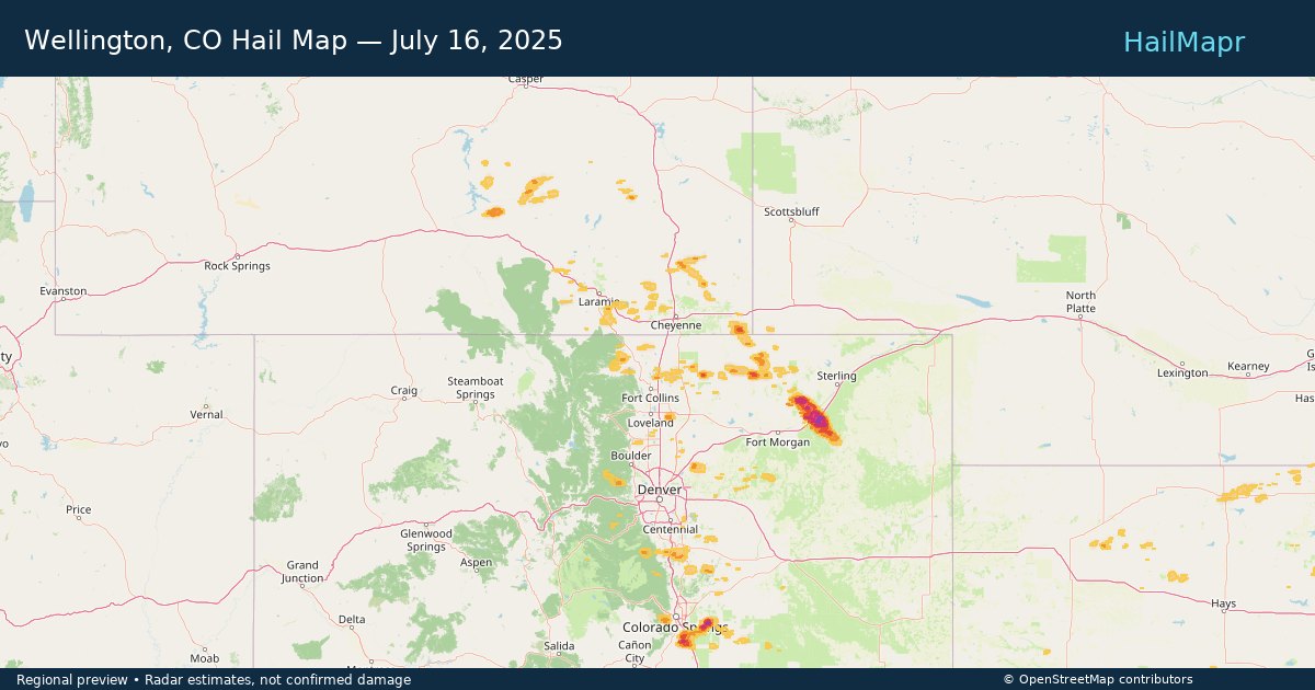
Wellington, CO — July 16, 2025 — regional hail footprint preview
Storm footprint preview

Local hail summary for the Wellington area: 2.64 square miles of estimated ground-hail footprint; highest mapped band 1+ inches. 0 official hail report(s) within the summary area. Exposure estimates are not confirmed property damage. Open the map to explore the full coverage included in your access. Statistics cover the mapped hail footprint inside the Census boundary of Wellington, CO, not the entire region. The place had 11,047 residents in the 2020 Census. A boundary intersection does not mean the whole community was hit. Estimated housing exposure: 687 units in 1-inch-or-larger bands, including 0 in 1.5-inch-or-larger bands and 0 in 2-inch-or-larger bands.

Affected states: Wellington area, CO
1+ inRadar size estimate 8,532Population Affected 3,048Houses Affected HailHazards FreeAccount signup
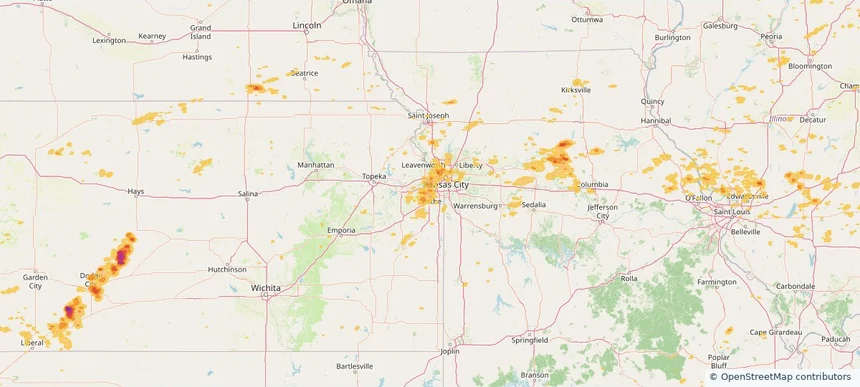
Historical Hail — 2025-07-16 — regional hail footprint preview
Storm footprint preview
Jul 16, 2025 7:00 AM to Jul 17, 2025 7:00 AM CST

Historical Hail — 2025-07-16

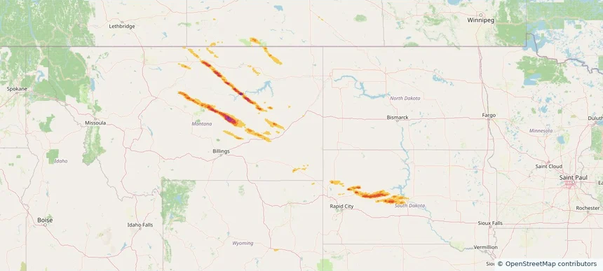
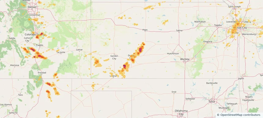
Hail as large as 2.00 inches was reported near Merino, COLORADO. Wind up to 110 mph was reported near 2 miles north of Dodge City, KS. 5 tornadoes were reported, including one near Cherry, NEBRASKA. The storm had 4 official hail reports.

Affected states: National, AL, AR, CO, IL, IN, KS, MD, MI, MO, NE, NM, NY, NC, OH, OK, PA, TN, VA, WV, WY
3.0 inRadar size estimate 720,069Population Affected 286,134Houses Affected Hail · Wind · TornadoHazards FreeAccount signup
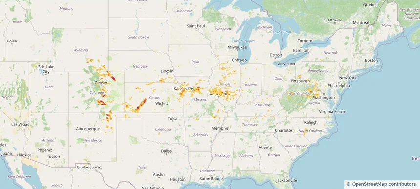
Historical Hail — 2025-07-15 — regional hail footprint preview
Storm footprint preview
Jul 15, 2025 7:00 AM to Jul 16, 2025 7:00 AM CST

Historical Hail — 2025-07-15

Hail as large as 2.00 inches was reported near Hyannis, NEBRASKA. Wind up to 89 mph was reported near 3 miles south of Corsica, SD. 10 tornadoes were reported, including one near Cherry, NEBRASKA. The storm had 9 official hail reports.

Affected states: National, AL, CO, FL, GA, IL, IA, KS, KY, LA, MI, MN, NE, OK, SD, TX, WI
3.0 inRadar size estimate 169,514Population Affected 78,969Houses Affected Hail · Wind · TornadoHazards FreeAccount signup
Rapid City, SD — July 14, 2025 — regional hail footprint preview
Storm footprint preview

Local hail summary for the Rapid City area: 8.91 square miles of estimated ground-hail footprint; highest mapped band 1+ inches. 0 official hail report(s) within the summary area. Exposure estimates are not confirmed property damage. Open the map to explore the full coverage included in your access. Statistics cover the mapped hail footprint inside the Census boundary of Rapid City, SD, not the entire region. The place had 74,703 residents in the 2020 Census. A boundary intersection does not mean the whole community was hit. Estimated housing exposure: 5,079 units in 1-inch-or-larger bands, including 0 in 1.5-inch-or-larger bands and 0 in 2-inch-or-larger bands.

Affected states: Rapid City area, SD
1+ inRadar size estimate 16,957Population Affected 7,507Houses Affected HailHazards FreeAccount signup
Historical Hail — 2025-07-14 — regional hail footprint preview
Storm footprint preview
Jul 14, 2025 7:00 AM to Jul 15, 2025 7:00 AM CST

Historical Hail — 2025-07-14

Hail as large as 2.00 inches was reported near Ellendale, NORTH DAKOTA. Wind up to 115 mph was reported near 9 miles west of Onida, SD. 14 tornadoes were reported, including one near Cherry, NEBRASKA. The storm had 6 official hail reports.

Affected states: National, CO, GA, LA, ME, MD, MI, MN, MS, MT, NE, NH, NM, NY, NC, ND, OH, PA, SC, SD, TN, TX, VT, VA, WI, WY
3.0 inRadar size estimate 158,069Population Affected 72,681Houses Affected Hail · Wind · TornadoHazards FreeAccount signup
Port Orange, FL — July 12, 2025 — regional hail footprint preview
Storm footprint preview

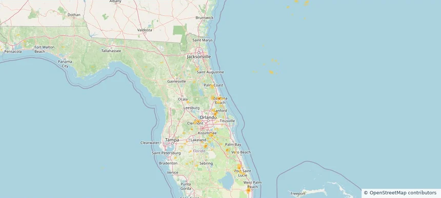
Local hail summary for the Port Orange area: 3.10 square miles of estimated ground-hail footprint; highest mapped band 1.5+ inches. 0 official hail report(s) within the summary area. Exposure estimates are not confirmed property damage. Open the map to explore the full coverage included in your access. Statistics cover the mapped hail footprint inside the Census boundary of Port Orange, FL, not the entire region. The place had 62,596 residents in the 2020 Census. A boundary intersection does not mean the whole community was hit. Estimated housing exposure: 1,462 units in 1-inch-or-larger bands, including 717 in 1.5-inch-or-larger bands and 0 in 2-inch-or-larger bands.

Affected states: Port Orange area, FL
1.5+ inRadar size estimate 7,741Population Affected 3,440Houses Affected HailHazards FreeAccount signup
West Palm Beach, FL — July 12, 2025 — regional hail footprint preview
Storm footprint preview

Local hail summary for the West Palm Beach area: 1.05 square miles of estimated ground-hail footprint; highest mapped band 1+ inches. 0 official hail report(s) within the summary area. Exposure estimates are not confirmed property damage. Open the map to explore the full coverage included in your access. Statistics cover the mapped hail footprint inside the Census boundary of West Palm Beach, FL, not the entire region. The place had 117,415 residents in the 2020 Census. A boundary intersection does not mean the whole community was hit. Estimated housing exposure: 836 units in 1-inch-or-larger bands, including 0 in 1.5-inch-or-larger bands and 0 in 2-inch-or-larger bands.

Affected states: West Palm Beach area, FL
1+ inRadar size estimate 2,357Population Affected 1,370Houses Affected HailHazards FreeAccount signup
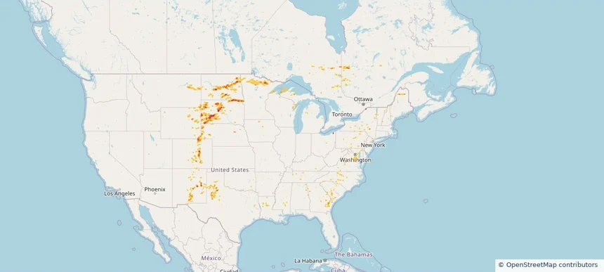
Historical Hail — 2025-07-12 — regional hail footprint preview
Storm footprint preview
Jul 12, 2025 7:00 AM to Jul 13, 2025 7:00 AM CST

Historical Hail — 2025-07-12

Hail as large as 2.25 inches was reported near Buffalo, KANSAS. Wind up to 76 mph was reported near 4 miles northeast of South Valley, NM. 10 tornadoes were reported, including one near Page, IOWA. The storm had 7 official hail reports.

Affected states: National, AL, AR, CO, FL, GA, IL, IN, KS, KY, LA, MD, MS, MO, NM, NC, OH, OK, SC, TN, TX, VA, WV
2.42 inRadar size estimate 652,057Population Affected 281,802Houses Affected Hail · Wind · TornadoHazards FreeAccount signup
Page 76 of 100
‹ 1 75 76 77 100 ›

Frequently asked questions

Can I search hail maps by coverage area?

Yes. The storm library supports coverage-area filtering so you can find hail maps and hail swaths in a target service area.

What kinds of storms appear in the HailMapr library?

The library focuses on published hail events, including ready storm maps and live storms once hail has been detected and a public swath is available.

Are HailMapr storm pages useful for roofers and adjusters?

Yes. They are built to help roofers, adjusters, restoration teams, and property owners review storm footprints before purchase.