Storm library

Browse live and recent hail maps.

Review storm footprints, hail swaths, reports, and replay access. Create a free account to save your setup and move into map access when a storm matters.

Search filters
Clear
Newest storms first by default.
Don't see your storm? Request a qualifying storm map and we'll email you when it is ready.
Showing 1465-1488 of 2419 storms · Page 62 of 101
‹ 1 61 62 63 101 ›
Request a storm map

Tell us about the storm and we'll build the map. Once it's published you'll get an email and can purchase it from the library — just like any other event.

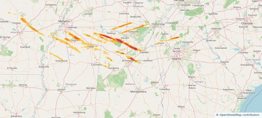
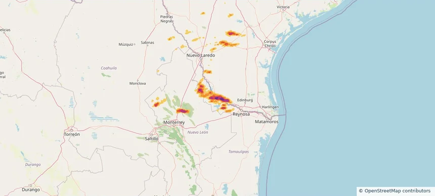
Roma, TX — March 07, 2026 — regional hail footprint preview
Storm footprint preview

Local hail summary for the Roma area: 6.00 square miles of estimated ground-hail footprint; highest mapped band 2.5+ inches. 0 official hail report(s) within the summary area. Exposure estimates are not confirmed property damage. Open the map to explore the full coverage included in your access. Statistics cover the mapped hail footprint inside the Census boundary of Roma, TX, not the entire region. The place had 11,561 residents in the 2020 Census. A boundary intersection does not mean the whole community was hit. Estimated housing exposure: 4,239 units in 1-inch-or-larger bands, including 4,239 in 1.5-inch-or-larger bands and 4,229 in 2-inch-or-larger bands.

Affected states: Roma area, TX
2.5+ inRadar size estimate 11,498Population Affected 4,239Houses Affected HailHazards FreeAccount signup
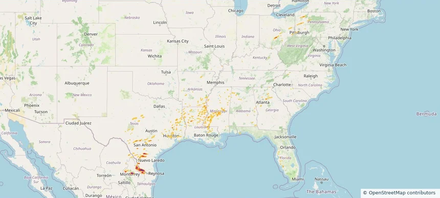
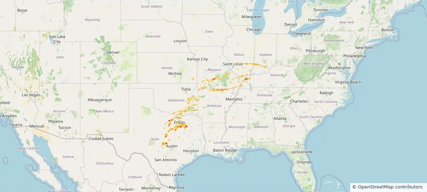
Historical Hail — 2026-03-07 — regional hail footprint preview
Storm footprint preview
Mar 7, 2026 6:00 AM to Mar 8, 2026 7:00 AM CST

Historical Hail — 2026-03-07

Hail as large as 2.75 inches was reported near Rio Grande City Arpt, TEXAS. Wind up to 81 mph was reported near 2 miles west-northwest of Terry, MS. 6 tornadoes were reported, including one near 2 miles west-northwest of Willisville, AR. The storm had 4 official hail reports.

Affected states: National, AL, AR, FL, GA, KY, LA, MI, MS, MO, NY, OH, PA, TN, TX, WV
4.41 inRadar size estimate 582,958Population Affected 209,319Houses Affected Hail · Wind · TornadoHazards FreeAccount signup
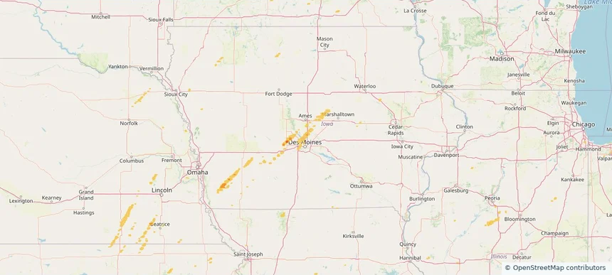
Ankeny, IA — March 06, 2026 — regional hail footprint preview
Storm footprint preview

Local hail summary for the Ankeny area: 11.37 square miles of estimated ground-hail footprint; highest mapped band 1+ inches. 0 official hail report(s) within the summary area. Exposure estimates are not confirmed property damage. Open the map to explore the full coverage included in your access. Statistics cover the mapped hail footprint inside the Census boundary of Ankeny, IA, not the entire region. The place had 67,887 residents in the 2020 Census. A boundary intersection does not mean the whole community was hit. Estimated housing exposure: 1,753 units in 1-inch-or-larger bands, including 0 in 1.5-inch-or-larger bands and 0 in 2-inch-or-larger bands.

Affected states: Ankeny area, IA
1+ inRadar size estimate 30,011Population Affected 12,144Houses Affected HailHazards FreeAccount signup
Broken Arrow, OK — March 06, 2026 — regional hail footprint preview
Storm footprint preview

Local hail summary for the Broken Arrow area: 15.61 square miles of estimated ground-hail footprint; highest mapped band 1+ inches. 0 official hail report(s) within the summary area. Exposure estimates are not confirmed property damage. Open the map to explore the full coverage included in your access. Statistics cover the mapped hail footprint inside the Census boundary of Broken Arrow, OK, not the entire region. The place had 113,540 residents in the 2020 Census. A boundary intersection does not mean the whole community was hit. Estimated housing exposure: 1,137 units in 1-inch-or-larger bands, including 0 in 1.5-inch-or-larger bands and 0 in 2-inch-or-larger bands.

Affected states: Broken Arrow area, OK
1+ inRadar size estimate 8,944Population Affected 3,327Houses Affected HailHazards FreeAccount signup
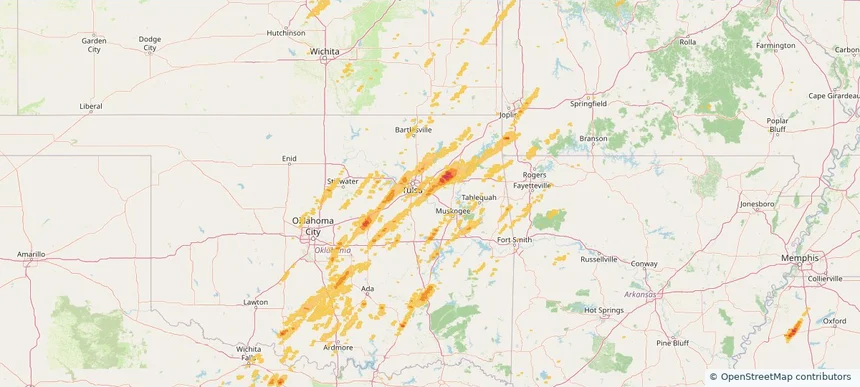
Riverdale, GA — March 06, 2026 — regional hail footprint preview
Storm footprint preview

Local hail summary for the Riverdale area: 1.65 square miles of estimated ground-hail footprint; highest mapped band 1+ inches. 0 official hail report(s) within the summary area. Exposure estimates are not confirmed property damage. Open the map to explore the full coverage included in your access. Statistics cover the mapped hail footprint inside the Census boundary of Riverdale, GA, not the entire region. The place had 15,129 residents in the 2020 Census. A boundary intersection does not mean the whole community was hit. Estimated housing exposure: 597 units in 1-inch-or-larger bands, including 0 in 1.5-inch-or-larger bands and 0 in 2-inch-or-larger bands.

Affected states: Riverdale area, GA
1+ inRadar size estimate 5,345Population Affected 2,175Houses Affected HailHazards FreeAccount signup
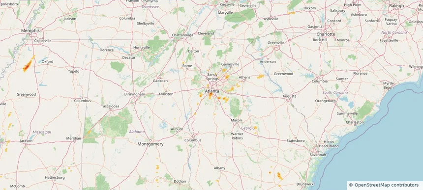
South Fulton, GA — March 06, 2026 — regional hail footprint preview
Storm footprint preview

Local hail summary for the South Fulton area: 2.16 square miles of estimated ground-hail footprint; highest mapped band 1+ inches. 0 official hail report(s) within the summary area. Exposure estimates are not confirmed property damage. Open the map to explore the full coverage included in your access. Statistics cover the mapped hail footprint inside the Census boundary of South Fulton, GA, not the entire region. The place had 107,436 residents in the 2020 Census. A boundary intersection does not mean the whole community was hit. Estimated housing exposure: 174 units in 1-inch-or-larger bands, including 0 in 1.5-inch-or-larger bands and 0 in 2-inch-or-larger bands.

Affected states: South Fulton area, GA
1+ inRadar size estimate 5,171Population Affected 1,828Houses Affected HailHazards FreeAccount signup
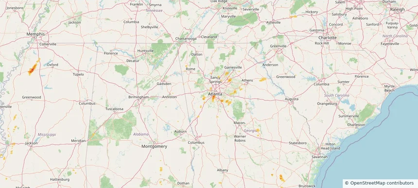
Stockbridge, GA — March 06, 2026 — regional hail footprint preview
Storm footprint preview

Local hail summary for the Stockbridge area: 1.62 square miles of estimated ground-hail footprint; highest mapped band 1+ inches. 0 official hail report(s) within the summary area. Exposure estimates are not confirmed property damage. Open the map to explore the full coverage included in your access. Statistics cover the mapped hail footprint inside the Census boundary of Stockbridge, GA, not the entire region. The place had 28,973 residents in the 2020 Census. A boundary intersection does not mean the whole community was hit. Estimated housing exposure: 1,213 units in 1-inch-or-larger bands, including 0 in 1.5-inch-or-larger bands and 0 in 2-inch-or-larger bands.

Affected states: Stockbridge area, GA
1+ inRadar size estimate 4,280Population Affected 1,326Houses Affected HailHazards FreeAccount signup
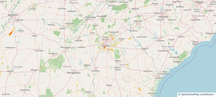
Tulsa, OK — March 06, 2026 — regional hail footprint preview
Storm footprint preview

Local hail summary for the Tulsa area: 11.02 square miles of estimated ground-hail footprint; highest mapped band 1+ inches. 0 official hail report(s) within the summary area. Exposure estimates are not confirmed property damage. Open the map to explore the full coverage included in your access. Statistics cover the mapped hail footprint inside the Census boundary of Tulsa, OK, not the entire region. The place had 413,066 residents in the 2020 Census. A boundary intersection does not mean the whole community was hit. Estimated housing exposure: 405 units in 1-inch-or-larger bands, including 0 in 1.5-inch-or-larger bands and 0 in 2-inch-or-larger bands.

Affected states: Tulsa area, OK
1+ inRadar size estimate 26,856Population Affected 11,161Houses Affected HailHazards FreeAccount signup
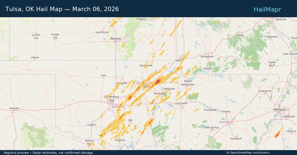
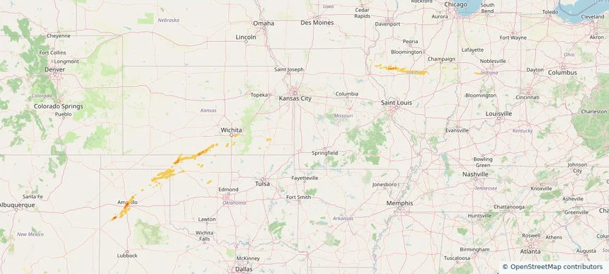
Historical Hail — 2026-03-06 — regional hail footprint preview
Storm footprint preview
Mar 6, 2026 6:00 AM to Mar 7, 2026 6:00 AM CST

Historical Hail — 2026-03-06

Hail as large as 2.00 inches was reported near Ohiowa, NEBRASKA. Wind up to 93 mph was reported near 6 miles northwest of Anderson, MO. 31 tornadoes were reported, including one near 2 miles west-northwest of Edwardsburg, MI. The storm had 16 official hail reports.

Affected states: National, AL, AR, FL, GA, IL, IN, IA, KS, LA, MI, MN, MS, MO, NE, NC, OK, TX
2.09 inRadar size estimate 621,220Population Affected 253,552Houses Affected Hail · Wind · TornadoHazards FreeAccount signup
Historical Hail — 2026-03-05 — regional hail footprint preview
Storm footprint preview
Mar 5, 2026 6:00 AM to Mar 6, 2026 6:00 AM CST

Historical Hail — 2026-03-05

Hail as large as 1.75 inches was reported near Strong City, OKLAHOMA. Wind up to 67 mph was reported near 4 miles south-southwest of Haysville, KS. 12 tornadoes were reported, including one near 6 miles east-southeast of Orion, OK. The storm had 10 official hail reports.

Affected states: National, IA, KS, MO, NE, OK, TX
2.43 inRadar size estimate 30,555Population Affected 14,820Houses Affected Hail · Wind · TornadoHazards FreeAccount signup
Grand Prairie, TX — March 04, 2026 — regional hail footprint preview
Storm footprint preview

Local hail summary for the Grand Prairie area: 9.74 square miles of estimated ground-hail footprint; highest mapped band 1+ inches. 0 official hail report(s) within the summary area. Exposure estimates are not confirmed property damage. Open the map to explore the full coverage included in your access. Statistics cover the mapped hail footprint inside the Census boundary of Grand Prairie, TX, not the entire region. The place had 196,100 residents in the 2020 Census. A boundary intersection does not mean the whole community was hit. Estimated housing exposure: 2,967 units in 1-inch-or-larger bands, including 0 in 1.5-inch-or-larger bands and 0 in 2-inch-or-larger bands.

Affected states: Grand Prairie area, TX
1+ inRadar size estimate 16,674Population Affected 5,581Houses Affected HailHazards FreeAccount signup
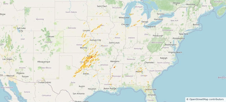
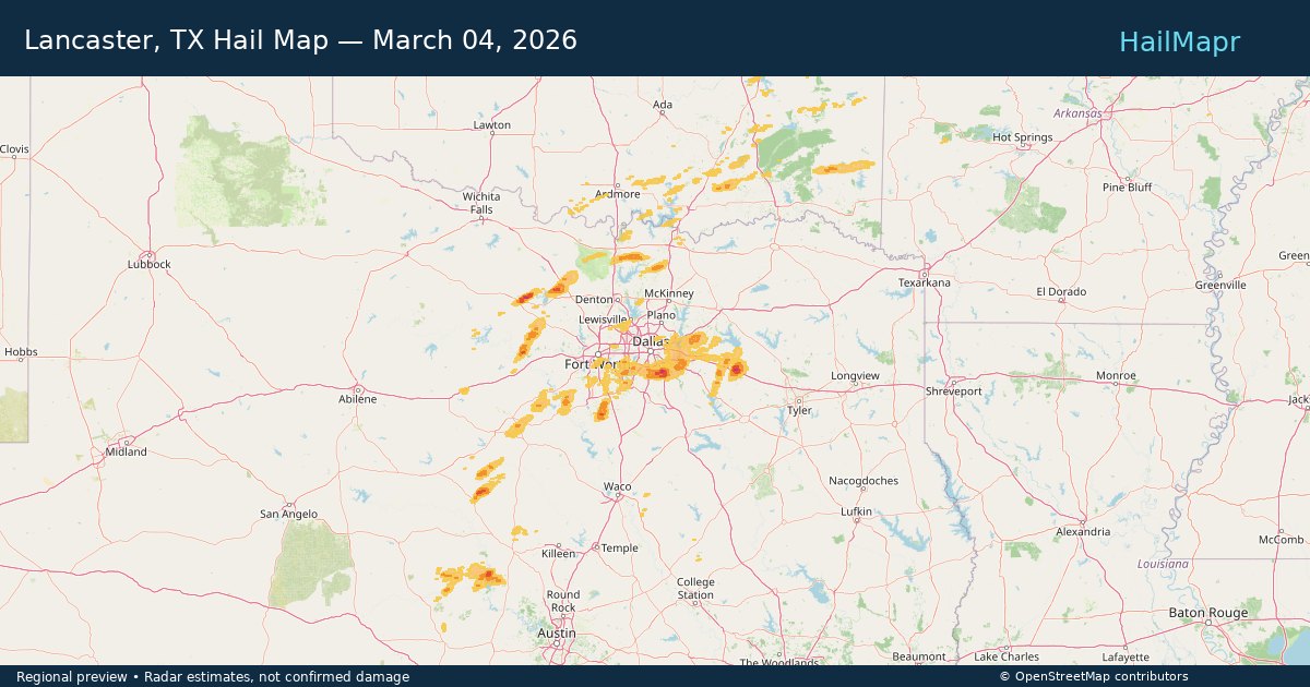
Lancaster, TX — March 04, 2026 — regional hail footprint preview
Storm footprint preview

Local hail summary for the Lancaster area: 32.00 square miles of estimated ground-hail footprint; highest mapped band 1.5+ inches. 0 official hail report(s) within the summary area. Exposure estimates are not confirmed property damage. Open the map to explore the full coverage included in your access. Statistics cover the mapped hail footprint inside the Census boundary of Lancaster, TX, not the entire region. The place had 41,275 residents in the 2020 Census. A boundary intersection does not mean the whole community was hit. Estimated housing exposure: 9,741 units in 1-inch-or-larger bands, including 6 in 1.5-inch-or-larger bands and 0 in 2-inch-or-larger bands.

Affected states: Lancaster area, TX
1.5+ inRadar size estimate 41,200Population Affected 14,610Houses Affected HailHazards FreeAccount signup
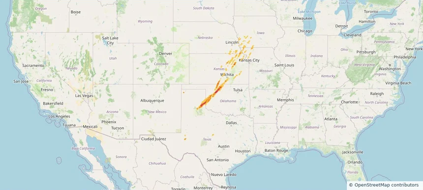
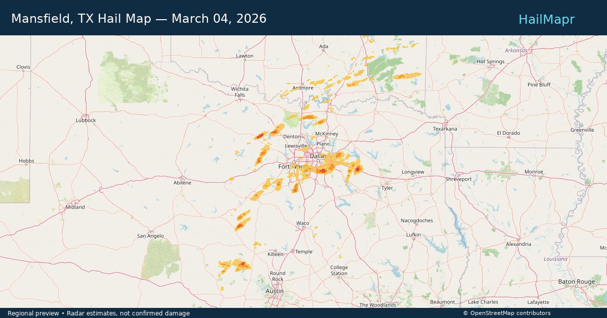
Mansfield, TX — March 04, 2026 — regional hail footprint preview
Storm footprint preview

Local hail summary for the Mansfield area: 3.06 square miles of estimated ground-hail footprint; highest mapped band 1+ inches. 0 official hail report(s) within the summary area. Exposure estimates are not confirmed property damage. Open the map to explore the full coverage included in your access. Statistics cover the mapped hail footprint inside the Census boundary of Mansfield, TX, not the entire region. The place had 72,602 residents in the 2020 Census. A boundary intersection does not mean the whole community was hit. Estimated housing exposure: 1,067 units in 1-inch-or-larger bands, including 0 in 1.5-inch-or-larger bands and 0 in 2-inch-or-larger bands.

Affected states: Mansfield area, TX
1+ inRadar size estimate 8,212Population Affected 2,653Houses Affected HailHazards FreeAccount signup
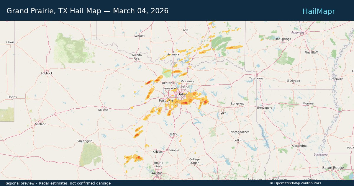
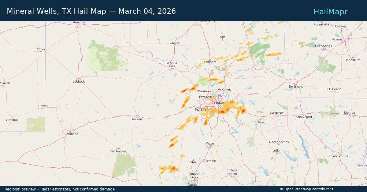
Mineral Wells, TX — March 04, 2026 — regional hail footprint preview
Storm footprint preview

Local hail summary for the Mineral Wells area: 7.13 square miles of estimated ground-hail footprint; highest mapped band 1+ inches. 0 official hail report(s) within the summary area. Exposure estimates are not confirmed property damage. Open the map to explore the full coverage included in your access. Statistics cover the mapped hail footprint inside the Census boundary of Mineral Wells, TX, not the entire region. The place had 14,820 residents in the 2020 Census. A boundary intersection does not mean the whole community was hit. Estimated housing exposure: 352 units in 1-inch-or-larger bands, including 0 in 1.5-inch-or-larger bands and 0 in 2-inch-or-larger bands.

Affected states: Mineral Wells area, TX
1+ inRadar size estimate 1,363Population Affected 559Houses Affected HailHazards FreeAccount signup
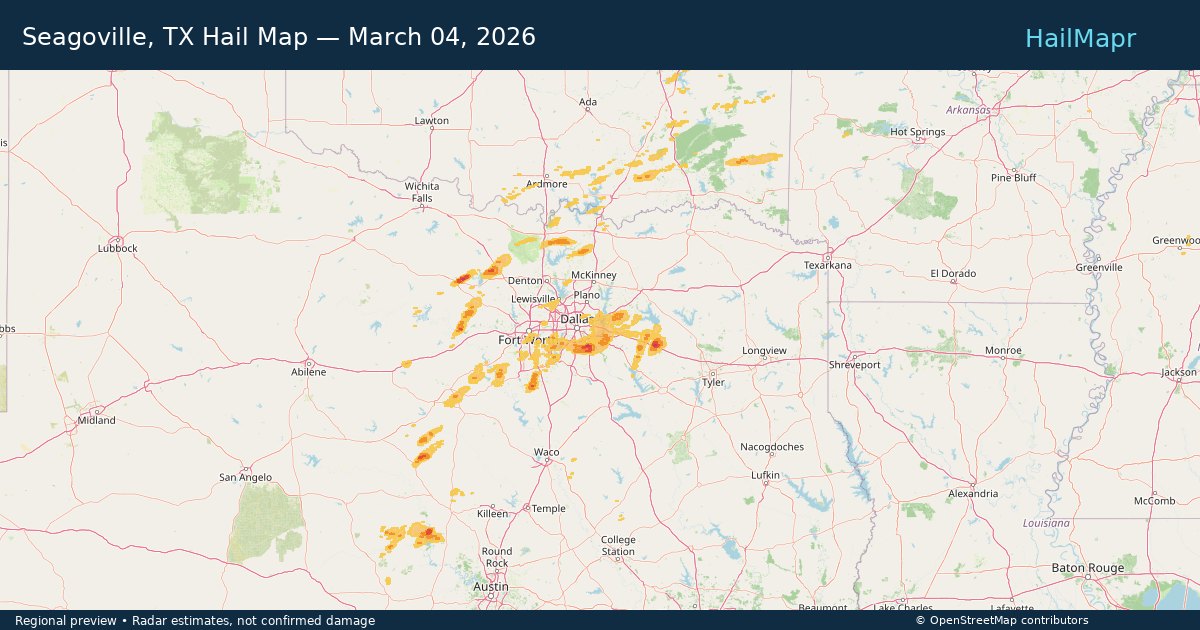
Seagoville, TX — March 04, 2026 — regional hail footprint preview
Storm footprint preview

Local hail summary for the Seagoville area: 14.81 square miles of estimated ground-hail footprint; highest mapped band 1+ inches. 0 official hail report(s) within the summary area. Exposure estimates are not confirmed property damage. Open the map to explore the full coverage included in your access. Statistics cover the mapped hail footprint inside the Census boundary of Seagoville, TX, not the entire region. The place had 18,446 residents in the 2020 Census. A boundary intersection does not mean the whole community was hit. Estimated housing exposure: 329 units in 1-inch-or-larger bands, including 0 in 1.5-inch-or-larger bands and 0 in 2-inch-or-larger bands.

Affected states: Seagoville area, TX
1+ inRadar size estimate 10,445Population Affected 3,398Houses Affected HailHazards FreeAccount signup
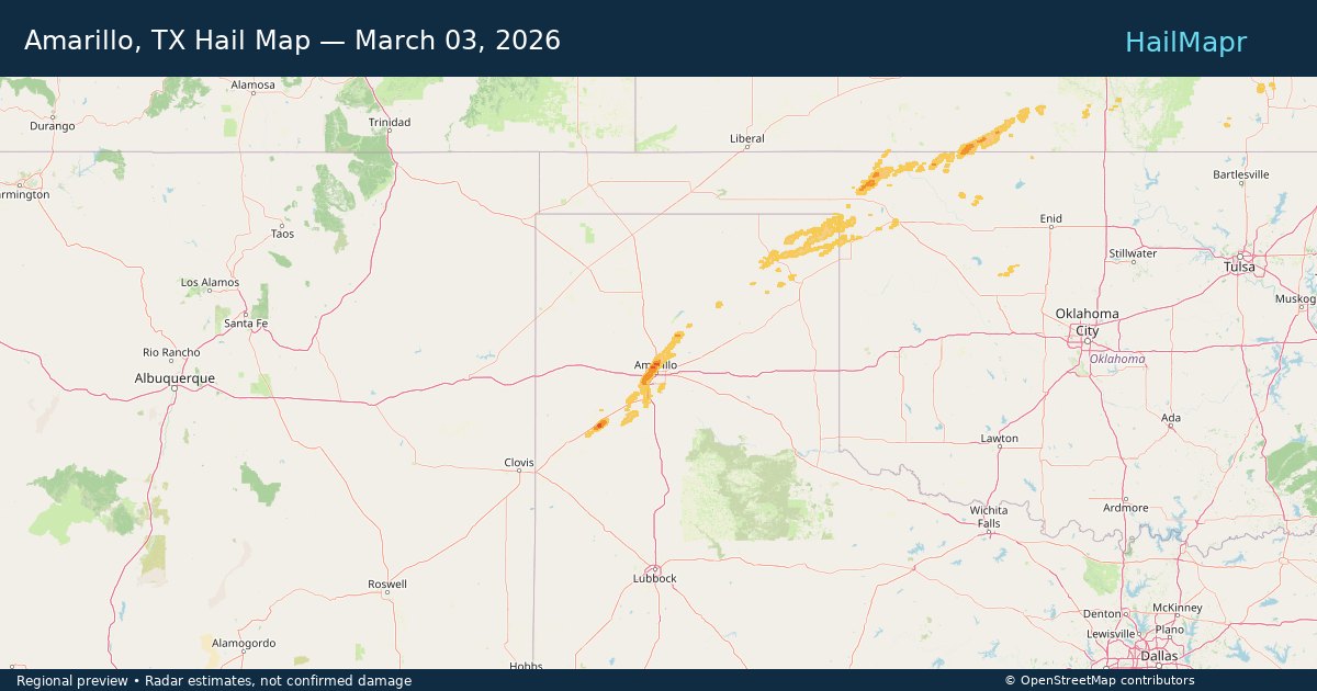
Amarillo, TX — March 03, 2026 — regional hail footprint preview
Storm footprint preview

Local hail summary for the Amarillo area: 42.42 square miles of estimated ground-hail footprint; highest mapped band 1.5+ inches. 2 official hail report(s) within the summary area. Exposure estimates are not confirmed property damage. Open the map to explore the full coverage included in your access. Statistics cover the mapped hail footprint inside the Census boundary of Amarillo, TX, not the entire region. The place had 200,393 residents in the 2020 Census. A boundary intersection does not mean the whole community was hit. Estimated housing exposure: 28,354 units in 1-inch-or-larger bands, including 588 in 1.5-inch-or-larger bands and 0 in 2-inch-or-larger bands.

Affected states: Amarillo area, TX
1.5+ inRadar size estimate 92,786Population Affected 42,866Houses Affected HailHazards FreeAccount signup
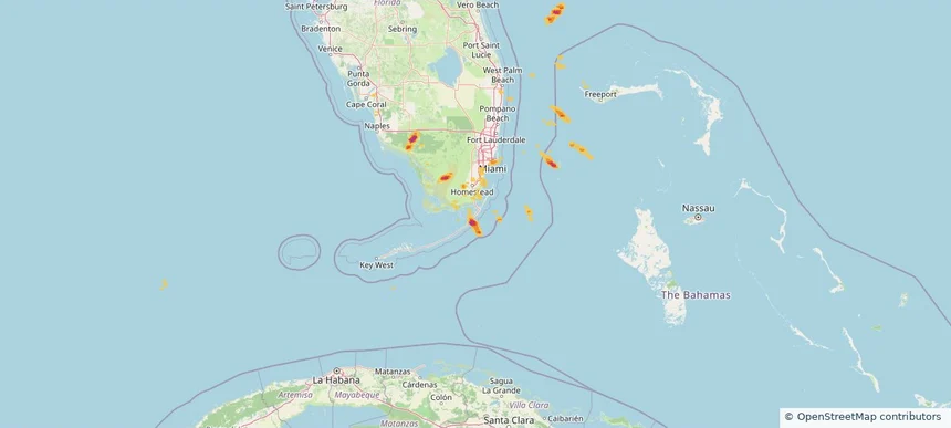
Key Largo, FL — March 01, 2026 — regional hail footprint preview
Storm footprint preview

Local hail summary for the Key Largo area: 0.89 square miles of estimated ground-hail footprint; highest mapped band 1+ inches. 0 official hail report(s) within the summary area. Exposure estimates are not confirmed property damage. Open the map to explore the full coverage included in your access. Statistics cover the mapped hail footprint inside the Census boundary of Key Largo, FL, not the entire region. The place had 12,447 residents in the 2020 Census. A boundary intersection does not mean the whole community was hit. Estimated housing exposure: 620 units in 1-inch-or-larger bands, including 0 in 1.5-inch-or-larger bands and 0 in 2-inch-or-larger bands.

Affected states: Key Largo area, FL
1+ inRadar size estimate 1,020Population Affected 742Houses Affected HailHazards FreeAccount signup
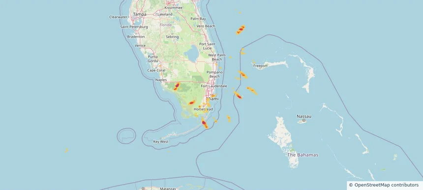
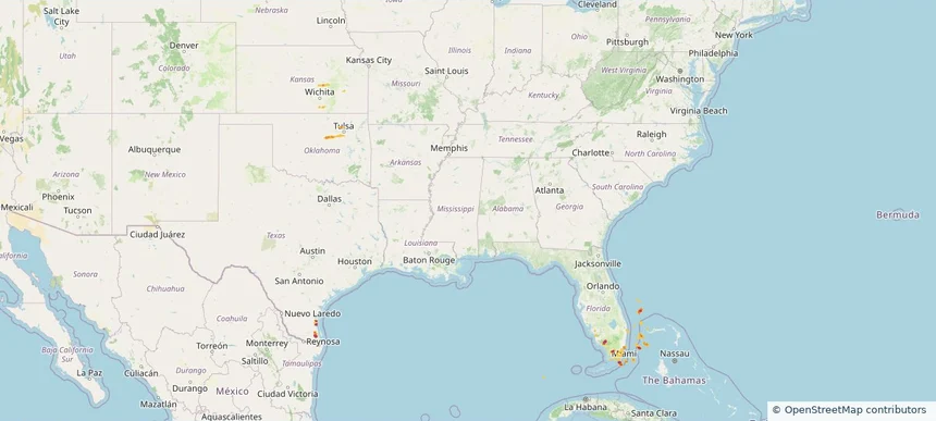
Miami, FL — March 01, 2026 — regional hail footprint preview
Storm footprint preview

Local hail summary for the Miami area: 8.04 square miles of estimated ground-hail footprint; highest mapped band 1+ inches. 0 official hail report(s) within the summary area. Exposure estimates are not confirmed property damage. Open the map to explore the full coverage included in your access. Statistics cover the mapped hail footprint inside the Census boundary of Miami, FL, not the entire region. The place had 442,241 residents in the 2020 Census. A boundary intersection does not mean the whole community was hit. Estimated housing exposure: 39,374 units in 1-inch-or-larger bands, including 0 in 1.5-inch-or-larger bands and 0 in 2-inch-or-larger bands.

Affected states: Miami area, FL
1+ inRadar size estimate 88,086Population Affected 53,415Houses Affected HailHazards FreeAccount signup
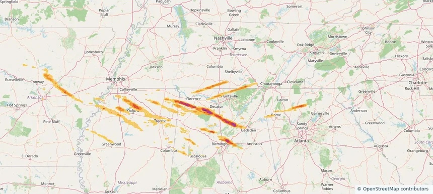
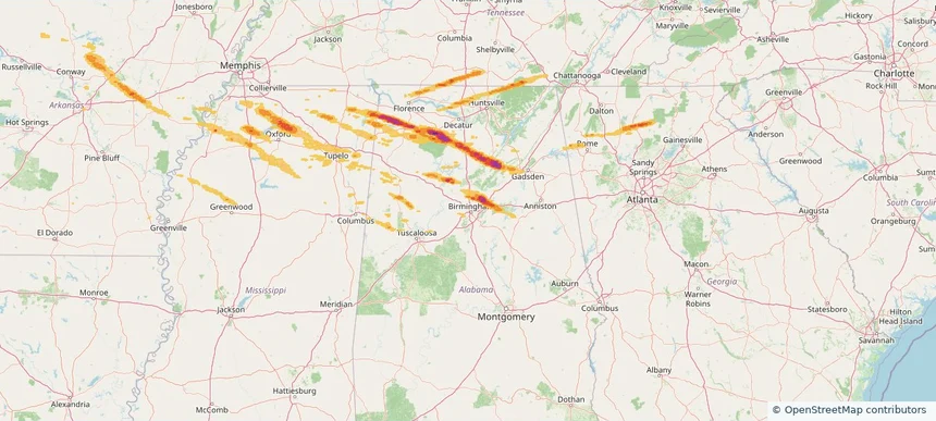
Athens, AL — February 26, 2026 — regional hail footprint preview
Storm footprint preview

Local hail summary for the Athens area: 18.08 square miles of estimated ground-hail footprint; highest mapped band 1+ inches. 1 official hail report(s) within the summary area. Exposure estimates are not confirmed property damage. Open the map to explore the full coverage included in your access. Statistics cover the mapped hail footprint inside the Census boundary of Athens, AL, not the entire region. The place had 25,406 residents in the 2020 Census. A boundary intersection does not mean the whole community was hit. Estimated housing exposure: 4,315 units in 1-inch-or-larger bands, including 0 in 1.5-inch-or-larger bands and 0 in 2-inch-or-larger bands.

Affected states: Athens area, AL
1+ inRadar size estimate 14,759Population Affected 6,664Houses Affected HailHazards FreeAccount signup
Birmingham, AL — February 26, 2026 — regional hail footprint preview
Storm footprint preview

Local hail summary for the Birmingham area: 2.15 square miles of estimated ground-hail footprint; highest mapped band 1.5+ inches. 0 official hail report(s) within the summary area. Exposure estimates are not confirmed property damage. Open the map to explore the full coverage included in your access. Statistics cover the mapped hail footprint inside the Census boundary of Birmingham, AL, not the entire region. The place had 200,733 residents in the 2020 Census. A boundary intersection does not mean the whole community was hit. Estimated housing exposure: 1,931 units in 1-inch-or-larger bands, including 136 in 1.5-inch-or-larger bands and 0 in 2-inch-or-larger bands.

Affected states: Birmingham area, AL
1.5+ inRadar size estimate 5,152Population Affected 2,223Houses Affected HailHazards FreeAccount signup
Center Point, AL — February 26, 2026 — regional hail footprint preview
Storm footprint preview

Local hail summary for the Center Point area: 3.65 square miles of estimated ground-hail footprint; highest mapped band 2+ inches. 0 official hail report(s) within the summary area. Exposure estimates are not confirmed property damage. Open the map to explore the full coverage included in your access. Statistics cover the mapped hail footprint inside the Census boundary of Center Point, AL, not the entire region. The place had 16,406 residents in the 2020 Census. A boundary intersection does not mean the whole community was hit. Estimated housing exposure: 3,274 units in 1-inch-or-larger bands, including 701 in 1.5-inch-or-larger bands and 0 in 2-inch-or-larger bands.

Affected states: Center Point area, AL
2+ inRadar size estimate 9,209Population Affected 3,683Houses Affected HailHazards FreeAccount signup
Page 62 of 101
‹ 1 61 62 63 101 ›

Frequently asked questions

Can I search hail maps by coverage area?

Yes. The storm library supports coverage-area filtering so you can find hail maps and hail swaths in a target service area.

What kinds of storms appear in the HailMapr library?

The library focuses on published hail events, including ready storm maps and live storms once hail has been detected and a public swath is available.

Are HailMapr storm pages useful for roofers and adjusters?

Yes. They are built to help roofers, adjusters, restoration teams, and property owners review storm footprints before purchase.