Storm library

Browse live and recent hail maps.

Review storm footprints, hail swaths, reports, and replay access. Create a free account to save your setup and move into map access when a storm matters.

Search filters
Clear
Newest storms first by default.
Don't see your storm? Request a qualifying storm map and we'll email you when it is ready.
Showing 1489-1512 of 2419 storms · Page 63 of 101
‹ 1 62 63 64 101 ›
Request a storm map

Tell us about the storm and we'll build the map. Once it's published you'll get an email and can purchase it from the library — just like any other event.

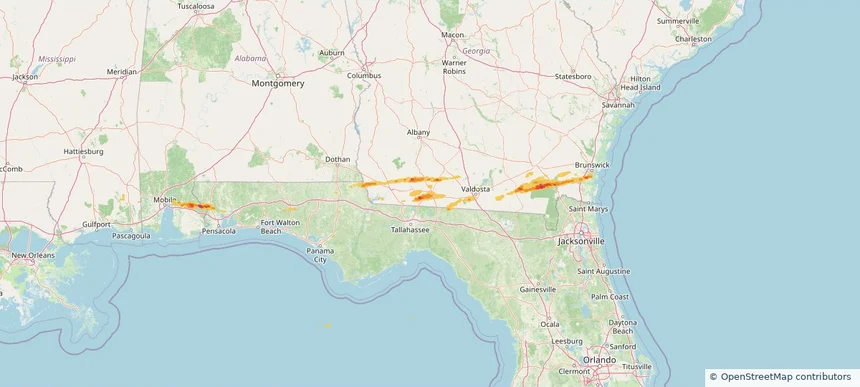
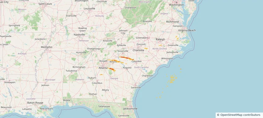
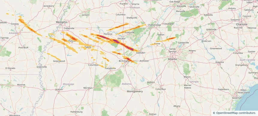
Clay, AL — February 26, 2026 — regional hail footprint preview
Storm footprint preview

Local hail summary for the Clay area: 7.63 square miles of estimated ground-hail footprint; highest mapped band 2+ inches. 0 official hail report(s) within the summary area. Exposure estimates are not confirmed property damage. Open the map to explore the full coverage included in your access. Statistics cover the mapped hail footprint inside the Census boundary of Clay, AL, not the entire region. The place had 10,291 residents in the 2020 Census. A boundary intersection does not mean the whole community was hit. Estimated housing exposure: 2,784 units in 1-inch-or-larger bands, including 2,457 in 1.5-inch-or-larger bands and 1,276 in 2-inch-or-larger bands.

Affected states: Clay area, AL
2+ inRadar size estimate 7,972Population Affected 3,161Houses Affected HailHazards FreeAccount signup
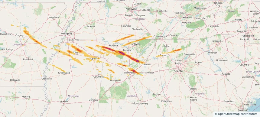
Cullman, AL — February 26, 2026 — regional hail footprint preview
Storm footprint preview

Local hail summary for the Cullman area: 5.04 square miles of estimated ground-hail footprint; highest mapped band 1.5+ inches. 0 official hail report(s) within the summary area. Exposure estimates are not confirmed property damage. Open the map to explore the full coverage included in your access. Statistics cover the mapped hail footprint inside the Census boundary of Cullman, AL, not the entire region. The place had 18,213 residents in the 2020 Census. A boundary intersection does not mean the whole community was hit. Estimated housing exposure: 303 units in 1-inch-or-larger bands, including 12 in 1.5-inch-or-larger bands and 0 in 2-inch-or-larger bands.

Affected states: Cullman area, AL
1.5+ inRadar size estimate 1,717Population Affected 629Houses Affected HailHazards FreeAccount signup
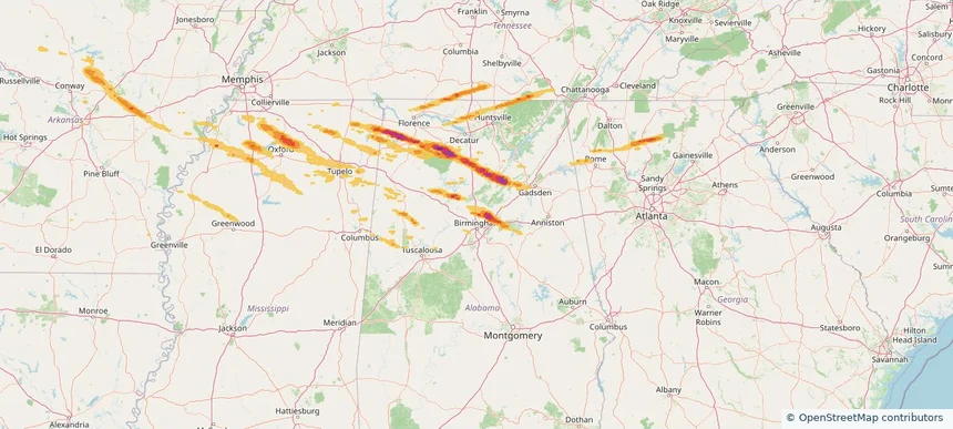
Gardendale, AL — February 26, 2026 — regional hail footprint preview
Storm footprint preview

Local hail summary for the Gardendale area: 4.37 square miles of estimated ground-hail footprint; highest mapped band 1.5+ inches. 0 official hail report(s) within the summary area. Exposure estimates are not confirmed property damage. Open the map to explore the full coverage included in your access. Statistics cover the mapped hail footprint inside the Census boundary of Gardendale, AL, not the entire region. The place had 16,044 residents in the 2020 Census. A boundary intersection does not mean the whole community was hit. Estimated housing exposure: 437 units in 1-inch-or-larger bands, including 0 in 1.5-inch-or-larger bands and 0 in 2-inch-or-larger bands.

Affected states: Gardendale area, AL
1.5+ inRadar size estimate 1,147Population Affected 536Houses Affected HailHazards FreeAccount signup
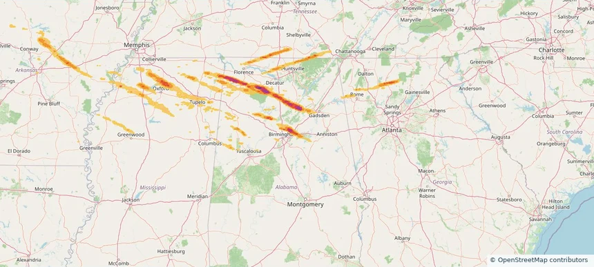
Moody, AL — February 26, 2026 — regional hail footprint preview
Storm footprint preview

Local hail summary for the Moody area: 18.92 square miles of estimated ground-hail footprint; highest mapped band 1.5+ inches. 0 official hail report(s) within the summary area. Exposure estimates are not confirmed property damage. Open the map to explore the full coverage included in your access. Statistics cover the mapped hail footprint inside the Census boundary of Moody, AL, not the entire region. The place had 13,170 residents in the 2020 Census. A boundary intersection does not mean the whole community was hit. Estimated housing exposure: 3,967 units in 1-inch-or-larger bands, including 1,846 in 1.5-inch-or-larger bands and 0 in 2-inch-or-larger bands.

Affected states: Moody area, AL
1.5+ inRadar size estimate 10,804Population Affected 4,583Houses Affected HailHazards FreeAccount signup
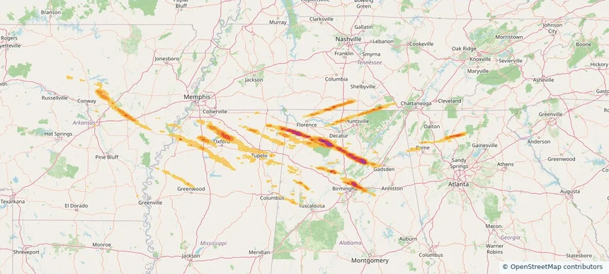
Russellville, AL — February 26, 2026 — regional hail footprint preview
Storm footprint preview

Local hail summary for the Russellville area: 7.87 square miles of estimated ground-hail footprint; highest mapped band 1.5+ inches. 1 official hail report(s) within the summary area. Exposure estimates are not confirmed property damage. Open the map to explore the full coverage included in your access. Statistics cover the mapped hail footprint inside the Census boundary of Russellville, AL, not the entire region. The place had 10,855 residents in the 2020 Census. A boundary intersection does not mean the whole community was hit. Estimated housing exposure: 2,918 units in 1-inch-or-larger bands, including 1,246 in 1.5-inch-or-larger bands and 0 in 2-inch-or-larger bands.

Affected states: Russellville area, AL
1.5+ inRadar size estimate 8,230Population Affected 2,918Houses Affected HailHazards FreeAccount signup
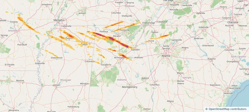
Trussville, AL — February 26, 2026 — regional hail footprint preview
Storm footprint preview

Local hail summary for the Trussville area: 28.57 square miles of estimated ground-hail footprint; highest mapped band 2+ inches. 0 official hail report(s) within the summary area. Exposure estimates are not confirmed property damage. Open the map to explore the full coverage included in your access. Statistics cover the mapped hail footprint inside the Census boundary of Trussville, AL, not the entire region. The place had 26,123 residents in the 2020 Census. A boundary intersection does not mean the whole community was hit. Estimated housing exposure: 6,645 units in 1-inch-or-larger bands, including 3,457 in 1.5-inch-or-larger bands and 602 in 2-inch-or-larger bands.

Affected states: Trussville area, AL
2+ inRadar size estimate 22,344Population Affected 8,193Houses Affected HailHazards FreeAccount signup
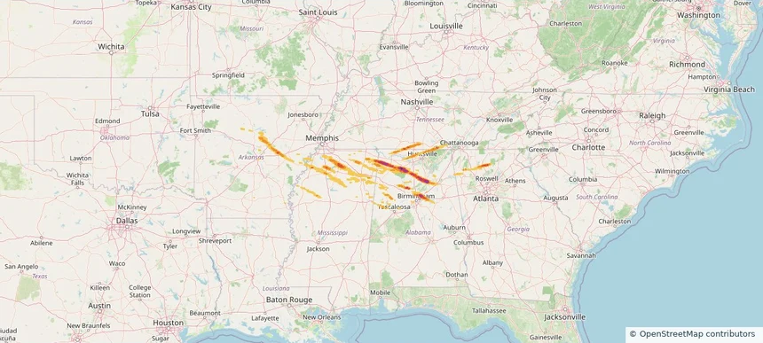
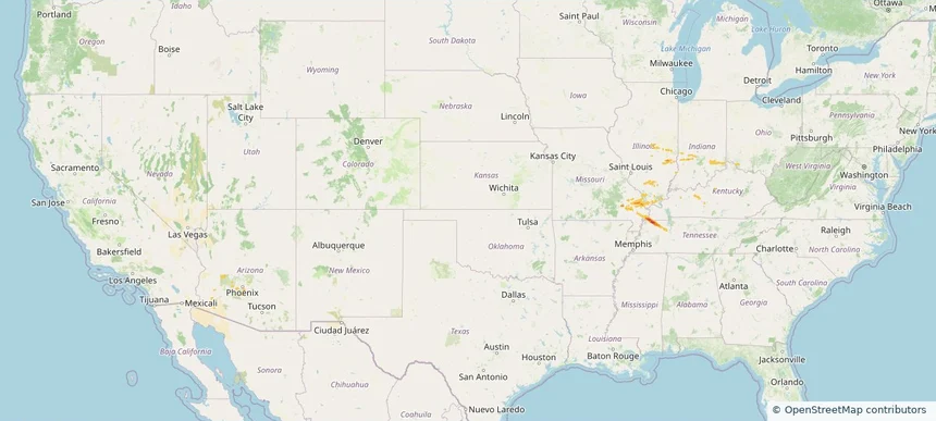
Historical Hail — 2026-02-26 — regional hail footprint preview
Storm footprint preview
Feb 26, 2026 6:00 AM to Feb 27, 2026 6:00 AM CST

Historical Hail — 2026-02-26

Hail as large as 2.00 inches was reported near Crooked Oak, ALABAMA. Wind up to 47 mph was reported near 4 miles north-northeast of Highland Lake, AL. A tornado was reported near 1 mile west-southwest of Trussville, AL. The storm had 16 official hail reports.

Affected states: National, AL, AR, GA, MS, TN
2.76 inRadar size estimate 333,632Population Affected 143,048Houses Affected Hail · Wind · TornadoHazards FreeAccount signup
Historical Hail — 2026-02-19 — regional hail footprint preview
Storm footprint preview
Feb 19, 2026 6:00 AM to Feb 20, 2026 6:00 AM CST

Historical Hail — 2026-02-19

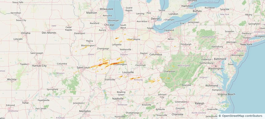
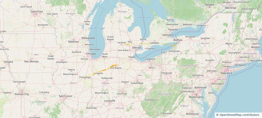
Hail as large as 1.50 inches was reported near Twilight, WEST VIRGINIA. Wind up to 81 mph was reported near 3 miles southwest of Whitehall, IN. 19 tornadoes were reported, including one near 3 miles east-southeast of Mason, IL. The storm had 12 official hail reports.

Affected states: National, IL, IN, KY, MO, OH, TN, VA, WV
1.84 inRadar size estimate 114,110Population Affected 52,189Houses Affected Hail · Wind · TornadoHazards FreeAccount signup
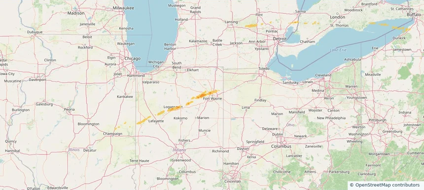
Fort Wayne, IN — February 18, 2026 — regional hail footprint preview
Storm footprint preview

Local hail summary for the Fort Wayne area: 18.82 square miles of estimated ground-hail footprint; highest mapped band 1+ inches. 0 official hail report(s) within the summary area. Exposure estimates are not confirmed property damage. Open the map to explore the full coverage included in your access. Statistics cover the mapped hail footprint inside the Census boundary of Fort Wayne, IN, not the entire region. The place had 263,886 residents in the 2020 Census. A boundary intersection does not mean the whole community was hit. Estimated housing exposure: 2,749 units in 1-inch-or-larger bands, including 0 in 1.5-inch-or-larger bands and 0 in 2-inch-or-larger bands.

Affected states: Fort Wayne area, IN
1+ inRadar size estimate 34,679Population Affected 15,003Houses Affected HailHazards FreeAccount signup
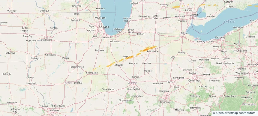
Logansport, IN — February 18, 2026 — regional hail footprint preview
Storm footprint preview

Local hail summary for the Logansport area: 4.69 square miles of estimated ground-hail footprint; highest mapped band 1+ inches. 0 official hail report(s) within the summary area. Exposure estimates are not confirmed property damage. Open the map to explore the full coverage included in your access. Statistics cover the mapped hail footprint inside the Census boundary of Logansport, IN, not the entire region. The place had 18,366 residents in the 2020 Census. A boundary intersection does not mean the whole community was hit. Estimated housing exposure: 1,084 units in 1-inch-or-larger bands, including 0 in 1.5-inch-or-larger bands and 0 in 2-inch-or-larger bands.

Affected states: Logansport area, IN
1+ inRadar size estimate 12,162Population Affected 4,988Houses Affected HailHazards FreeAccount signup
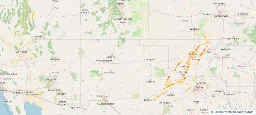
Historical Hail — 2025-11-23 — regional hail footprint preview
Storm footprint preview
Nov 23, 2025 6:00 AM to Nov 24, 2025 6:00 AM CST

Historical Hail — 2025-11-23

Hail as large as 1.00 inches was reported near Drop, TEXAS. Wind up to 59 mph was reported near 4 miles west-southwest of Denton, TX. A tornado was reported near Harris, TEXAS. The storm had 2 official hail reports.

Affected states: National, NM, OK, TX
2.0 inRadar size estimate 135,678Population Affected 52,830Houses Affected Hail · Wind · TornadoHazards FreeAccount signup
Oklahoma City, OK — November 19, 2025 — regional hail footprint preview
Storm footprint preview

Local hail summary for the Oklahoma City area: 18.25 square miles of estimated ground-hail footprint; highest mapped band 1+ inches. 0 official hail report(s) within the summary area. Exposure estimates are not confirmed property damage. Open the map to explore the full coverage included in your access. Statistics cover the mapped hail footprint inside the Census boundary of Oklahoma City, OK, not the entire region. The place had 681,054 residents in the 2020 Census. A boundary intersection does not mean the whole community was hit. Estimated housing exposure: 1,108 units in 1-inch-or-larger bands, including 0 in 1.5-inch-or-larger bands and 0 in 2-inch-or-larger bands.

Affected states: Oklahoma City area, OK
1+ inRadar size estimate 33,055Population Affected 17,292Houses Affected HailHazards FreeAccount signup
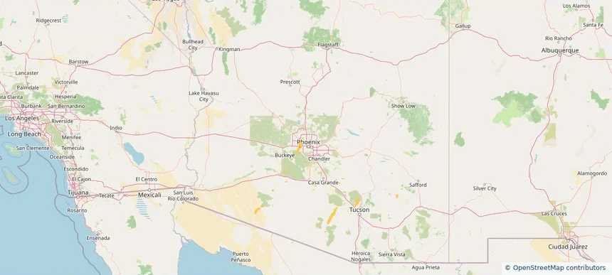
Phoenix, AZ — November 19, 2025 — regional hail footprint preview
Storm footprint preview

Local hail summary for the Phoenix area: 15.10 square miles of estimated ground-hail footprint; highest mapped band 1+ inches. 0 official hail report(s) within the summary area. Exposure estimates are not confirmed property damage. Open the map to explore the full coverage included in your access. Statistics cover the mapped hail footprint inside the Census boundary of Phoenix, AZ, not the entire region. The place had 1,608,139 residents in the 2020 Census. A boundary intersection does not mean the whole community was hit. Estimated housing exposure: 198 units in 1-inch-or-larger bands, including 0 in 1.5-inch-or-larger bands and 0 in 2-inch-or-larger bands.

Affected states: Phoenix area, AZ
1+ inRadar size estimate 111,601Population Affected 31,664Houses Affected HailHazards FreeAccount signup
Historical Hail — 2025-11-19 — regional hail footprint preview
Storm footprint preview
Nov 19, 2025 6:00 AM to Nov 20, 2025 6:00 AM CST

Historical Hail — 2025-11-19

Hail as large as 1.00 inches was reported near Helena, ARIZONA. Wind up to 71 mph was reported near 4 miles northeast of Geronimo, OK. 3 tornadoes were reported, including one near Maricopa, ARIZONA. The storm had 3 official hail reports.

Affected states: National, AZ, KS, OK, TX, UT
1.97 inRadar size estimate 314,579Population Affected 127,343Houses Affected Hail · Wind · TornadoHazards FreeAccount signup
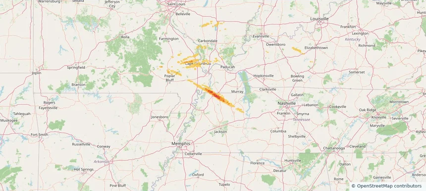
Martin, TN — November 18, 2025 — regional hail footprint preview
Storm footprint preview

Local hail summary for the Martin area: 7.98 square miles of estimated ground-hail footprint; highest mapped band 1.5+ inches. 0 official hail report(s) within the summary area. Exposure estimates are not confirmed property damage. Open the map to explore the full coverage included in your access. Statistics cover the mapped hail footprint inside the Census boundary of Martin, TN, not the entire region. The place had 10,825 residents in the 2020 Census. A boundary intersection does not mean the whole community was hit. Estimated housing exposure: 2,506 units in 1-inch-or-larger bands, including 363 in 1.5-inch-or-larger bands and 0 in 2-inch-or-larger bands.

Affected states: Martin area, TN
1.5+ inRadar size estimate 7,231Population Affected 2,916Houses Affected HailHazards FreeAccount signup
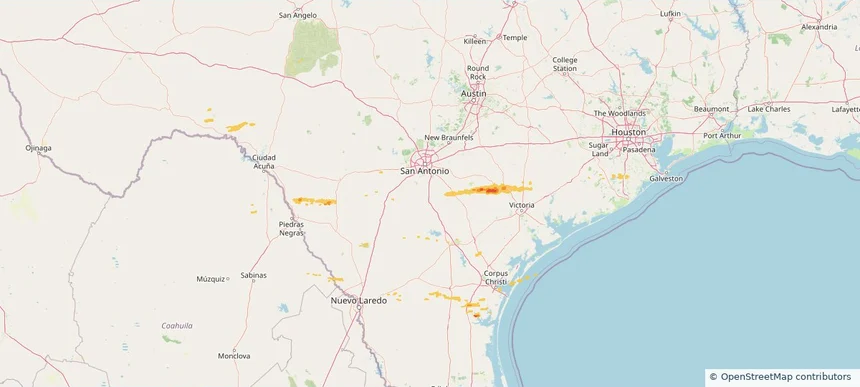
Union City, TN — November 18, 2025 — regional hail footprint preview
Storm footprint preview

Local hail summary for the Union City area: 2.01 square miles of estimated ground-hail footprint; highest mapped band 1.5+ inches. 0 official hail report(s) within the summary area. Exposure estimates are not confirmed property damage. Open the map to explore the full coverage included in your access. Statistics cover the mapped hail footprint inside the Census boundary of Union City, TN, not the entire region. The place had 11,170 residents in the 2020 Census. A boundary intersection does not mean the whole community was hit. Estimated housing exposure: 179 units in 1-inch-or-larger bands, including 2 in 1.5-inch-or-larger bands and 0 in 2-inch-or-larger bands.

Affected states: Union City area, TN
1.5+ inRadar size estimate 562Population Affected 218Houses Affected HailHazards FreeAccount signup
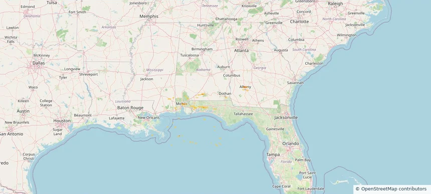
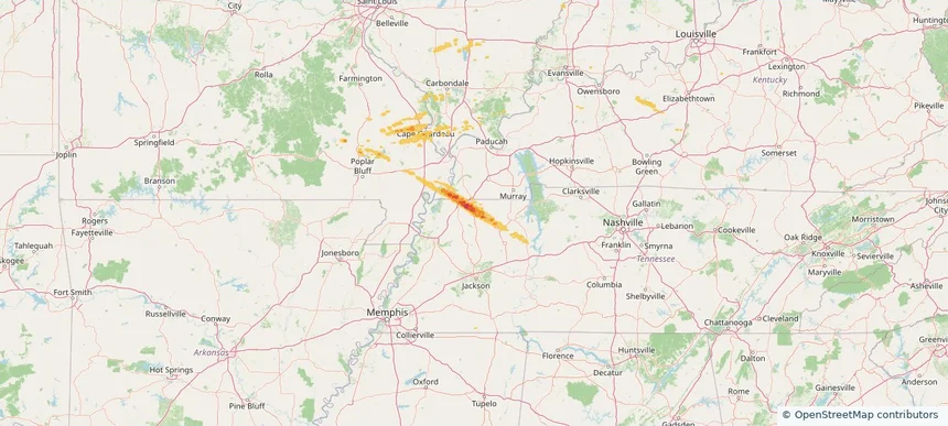
Historical Hail — 2025-11-18 — regional hail footprint preview
Storm footprint preview
Nov 18, 2025 6:00 AM to Nov 19, 2025 6:00 AM CST

Historical Hail — 2025-11-18

Hail as large as 1.00 inches was reported near Cerro Gordo, ILLINOIS. Wind up to 70 mph was reported near 8 miles south of Wolf Island, MO. 8 tornadoes were reported, including one near Fulton, KENTUCKY. The storm had 4 official hail reports.

Affected states: National, AZ, IL, IN, KY, MO, TN
1.99 inRadar size estimate 49,145Population Affected 21,263Houses Affected Hail · Wind · TornadoHazards FreeAccount signup
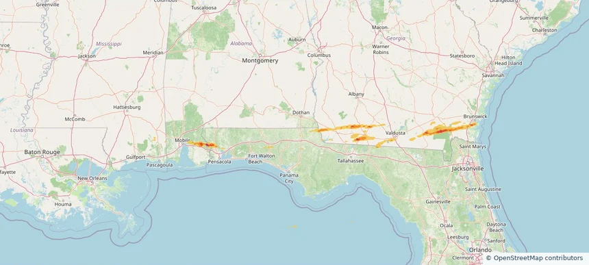
Thomasville, GA — November 09, 2025 — regional hail footprint preview
Storm footprint preview

Local hail summary for the Thomasville area: 7.95 square miles of estimated ground-hail footprint; highest mapped band 1+ inches. 0 official hail report(s) within the summary area. Exposure estimates are not confirmed property damage. Open the map to explore the full coverage included in your access. Statistics cover the mapped hail footprint inside the Census boundary of Thomasville, GA, not the entire region. The place had 18,881 residents in the 2020 Census. A boundary intersection does not mean the whole community was hit. Estimated housing exposure: 3,251 units in 1-inch-or-larger bands, including 0 in 1.5-inch-or-larger bands and 0 in 2-inch-or-larger bands.

Affected states: Thomasville area, GA
1+ inRadar size estimate 11,019Population Affected 5,352Houses Affected HailHazards FreeAccount signup
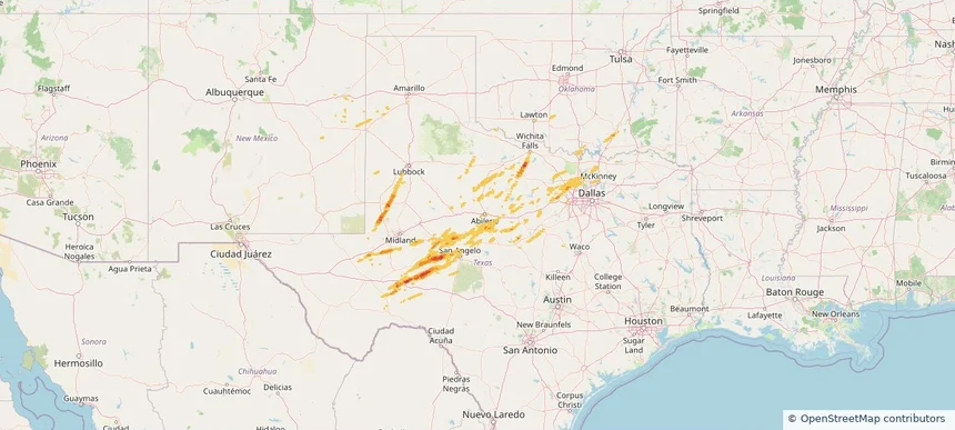
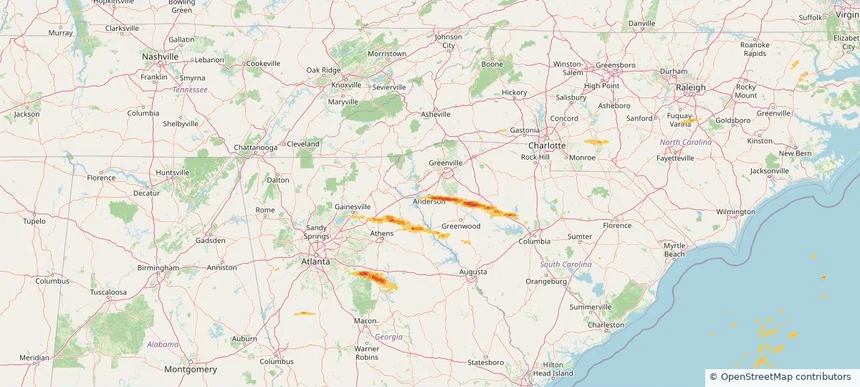
Anderson, SC — November 08, 2025 — regional hail footprint preview
Storm footprint preview

Local hail summary for the Anderson area: 2.09 square miles of estimated ground-hail footprint; highest mapped band 1+ inches. 0 official hail report(s) within the summary area. Exposure estimates are not confirmed property damage. Open the map to explore the full coverage included in your access. Statistics cover the mapped hail footprint inside the Census boundary of Anderson, SC, not the entire region. The place had 28,106 residents in the 2020 Census. A boundary intersection does not mean the whole community was hit. Estimated housing exposure: 303 units in 1-inch-or-larger bands, including 0 in 1.5-inch-or-larger bands and 0 in 2-inch-or-larger bands.

Affected states: Anderson area, SC
1+ inRadar size estimate 3,351Population Affected 1,493Houses Affected HailHazards FreeAccount signup
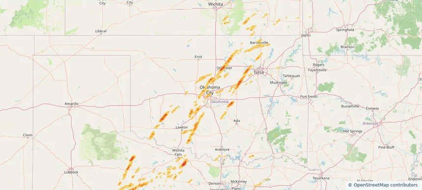
Page 63 of 101
‹ 1 62 63 64 101 ›

Frequently asked questions

Can I search hail maps by coverage area?

Yes. The storm library supports coverage-area filtering so you can find hail maps and hail swaths in a target service area.

What kinds of storms appear in the HailMapr library?

The library focuses on published hail events, including ready storm maps and live storms once hail has been detected and a public swath is available.

Are HailMapr storm pages useful for roofers and adjusters?

Yes. They are built to help roofers, adjusters, restoration teams, and property owners review storm footprints before purchase.