Storm library

Browse live and recent hail maps.

Review storm footprints, hail swaths, reports, and replay access. Create a free account to save your setup and move into map access when a storm matters.

Search filters
Clear
Newest storms first by default.
Don't see your storm? Request a qualifying storm map and we'll email you when it is ready.
Showing 1417-1440 of 2419 storms · Page 60 of 101
‹ 1 59 60 61 101 ›
Request a storm map

Tell us about the storm and we'll build the map. Once it's published you'll get an email and can purchase it from the library — just like any other event.

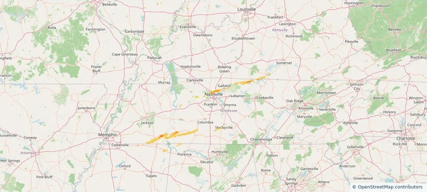
Nashville-Davidson metropolitan government (balance), TN — March 11, 2026 — regional hail footprint preview
Storm footprint preview

Local hail summary for the Nashville-Davidson metropolitan government (balance) area: 4.91 square miles of estimated ground-hail footprint; highest mapped band 1+ inches. 0 official hail report(s) within the summary area. Exposure estimates are not confirmed property damage. Open the map to explore the full coverage included in your access. Statistics cover the mapped hail footprint inside the Census boundary of Nashville-Davidson metropolitan government (balance), TN, not the entire region. The place had 689,447 residents in the 2020 Census. A boundary intersection does not mean the whole community was hit. Estimated housing exposure: 101 units in 1-inch-or-larger bands, including 0 in 1.5-inch-or-larger bands and 0 in 2-inch-or-larger bands.
Affected states: Nashville-Davidson metropolitan government (balance) area, TN
1+ inRadar size estimate 1,349Population Affected 551Houses Affected HailHazards FreeAccount signup
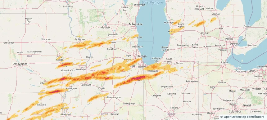
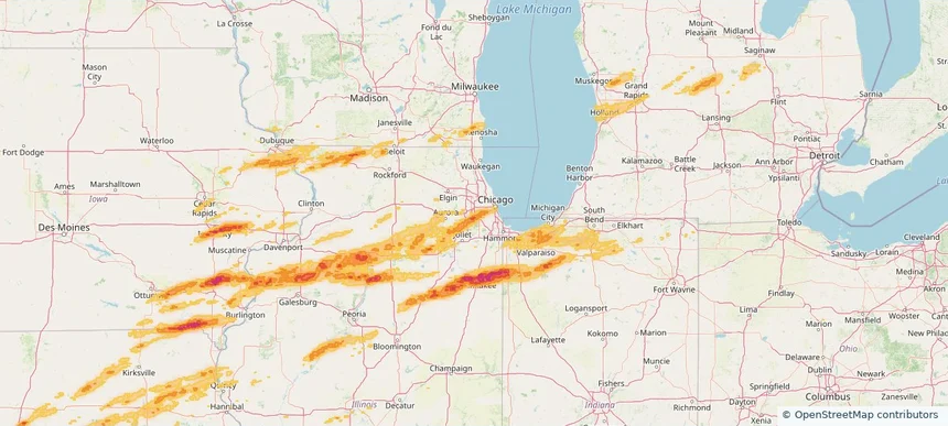
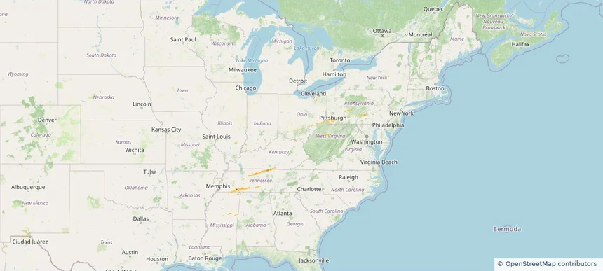
Historical Hail — 2026-03-11 — regional hail footprint preview
Storm footprint preview
Mar 11, 2026 7:00 AM to Mar 12, 2026 7:00 AM CST

Historical Hail — 2026-03-11

Hail as large as 0.88 inches was reported near Hendersonville, TENNESSEE. Wind up to 81 mph was reported near 4 miles west of Middletown, IN. 9 tornadoes were reported, including one near 2 miles west-southwest of Vera Cruz, IN. The storm had 2 official hail reports.

Affected states: National, AL, DE, GA, IL, IN, KY, MD, MS, NJ, OH, PA, TN, VA
1.5 inRadar size estimate 64,756Population Affected 28,412Houses Affected Hail · Wind · TornadoHazards FreeAccount signup
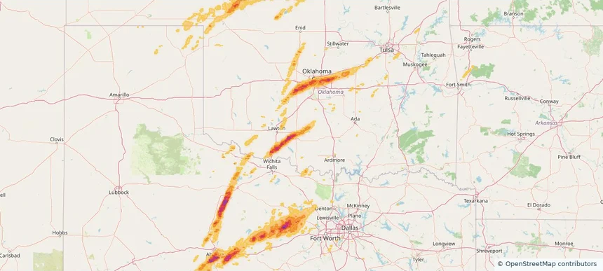
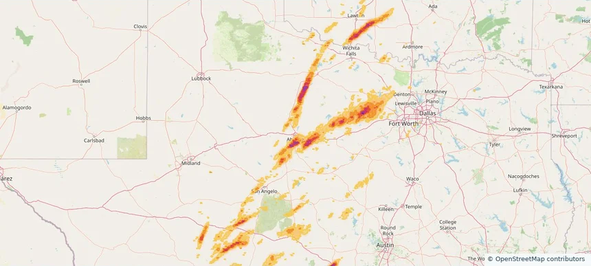
Abilene, TX — March 10, 2026 — regional hail footprint preview
Storm footprint preview

Local hail summary for the Abilene area: 36.67 square miles of estimated ground-hail footprint; highest mapped band 1.5+ inches. 0 official hail report(s) within the summary area. Exposure estimates are not confirmed property damage. Open the map to explore the full coverage included in your access. Statistics cover the mapped hail footprint inside the Census boundary of Abilene, TX, not the entire region. The place had 125,182 residents in the 2020 Census. A boundary intersection does not mean the whole community was hit. Estimated housing exposure: 8,710 units in 1-inch-or-larger bands, including 2,440 in 1.5-inch-or-larger bands and 0 in 2-inch-or-larger bands.

Affected states: Abilene area, TX
1.5+ inRadar size estimate 33,310Population Affected 13,855Houses Affected HailHazards FreeAccount signup
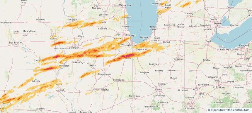
Berwyn, IL — March 10, 2026 — regional hail footprint preview
Storm footprint preview

Local hail summary for the Berwyn area: 2.81 square miles of estimated ground-hail footprint; highest mapped band 1+ inches. 0 official hail report(s) within the summary area. Exposure estimates are not confirmed property damage. Open the map to explore the full coverage included in your access. Statistics cover the mapped hail footprint inside the Census boundary of Berwyn, IL, not the entire region. The place had 57,250 residents in the 2020 Census. A boundary intersection does not mean the whole community was hit. Estimated housing exposure: 5,591 units in 1-inch-or-larger bands, including 0 in 1.5-inch-or-larger bands and 0 in 2-inch-or-larger bands.
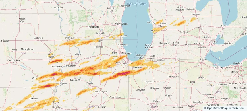
Affected states: Berwyn area, IL
1+ inRadar size estimate 35,459Population Affected 12,968Houses Affected HailHazards FreeAccount signup
Bethany, OK — March 10, 2026 — regional hail footprint preview
Storm footprint preview

Local hail summary for the Bethany area: 5.15 square miles of estimated ground-hail footprint; highest mapped band 1.5+ inches. 1 official hail report(s) within the summary area. Exposure estimates are not confirmed property damage. Open the map to explore the full coverage included in your access. Statistics cover the mapped hail footprint inside the Census boundary of Bethany, OK, not the entire region. The place had 20,831 residents in the 2020 Census. A boundary intersection does not mean the whole community was hit. Estimated housing exposure: 8,511 units in 1-inch-or-larger bands, including 6,822 in 1.5-inch-or-larger bands and 0 in 2-inch-or-larger bands.

Affected states: Bethany area, OK
1.5+ inRadar size estimate 20,506Population Affected 8,723Houses Affected HailHazards FreeAccount signup
Bolingbrook, IL — March 10, 2026 — regional hail footprint preview
Storm footprint preview

Local hail summary for the Bolingbrook area: 23.41 square miles of estimated ground-hail footprint; highest mapped band 1.5+ inches. 1 official hail report(s) within the summary area. Exposure estimates are not confirmed property damage. Open the map to explore the full coverage included in your access. Statistics cover the mapped hail footprint inside the Census boundary of Bolingbrook, IL, not the entire region. The place had 73,922 residents in the 2020 Census. A boundary intersection does not mean the whole community was hit. Estimated housing exposure: 21,343 units in 1-inch-or-larger bands, including 0 in 1.5-inch-or-larger bands and 0 in 2-inch-or-larger bands.
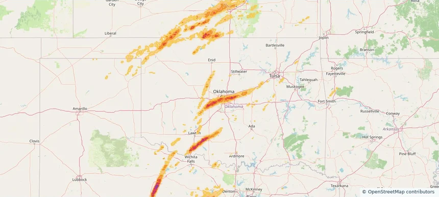
Affected states: Bolingbrook area, IL
1.5+ inRadar size estimate 69,132Population Affected 22,890Houses Affected HailHazards FreeAccount signup
Bourbonnais, IL — March 10, 2026 — regional hail footprint preview
Storm footprint preview

Local hail summary for the Bourbonnais area: 3.02 square miles of estimated ground-hail footprint; highest mapped band 1.5+ inches. 0 official hail report(s) within the summary area. Exposure estimates are not confirmed property damage. Open the map to explore the full coverage included in your access. Statistics cover the mapped hail footprint inside the Census boundary of Bourbonnais, IL, not the entire region. The place had 18,164 residents in the 2020 Census. A boundary intersection does not mean the whole community was hit. Estimated housing exposure: 1,699 units in 1-inch-or-larger bands, including 233 in 1.5-inch-or-larger bands and 0 in 2-inch-or-larger bands.

Affected states: Bourbonnais area, IL
1.5+ inRadar size estimate 9,726Population Affected 3,494Houses Affected HailHazards FreeAccount signup
Bradley, IL — March 10, 2026 — regional hail footprint preview
Storm footprint preview

Local hail summary for the Bradley area: 5.83 square miles of estimated ground-hail footprint; highest mapped band 2+ inches. 1 official hail report(s) within the summary area. Exposure estimates are not confirmed property damage. Open the map to explore the full coverage included in your access. Statistics cover the mapped hail footprint inside the Census boundary of Bradley, IL, not the entire region. The place had 15,419 residents in the 2020 Census. A boundary intersection does not mean the whole community was hit. Estimated housing exposure: 6,340 units in 1-inch-or-larger bands, including 5,707 in 1.5-inch-or-larger bands and 3,059 in 2-inch-or-larger bands.

Affected states: Bradley area, IL
2+ inRadar size estimate 15,210Population Affected 6,539Houses Affected HailHazards FreeAccount signup
Brookfield, IL — March 10, 2026 — regional hail footprint preview
Storm footprint preview

Local hail summary for the Brookfield area: 2.73 square miles of estimated ground-hail footprint; highest mapped band 1+ inches. 0 official hail report(s) within the summary area. Exposure estimates are not confirmed property damage. Open the map to explore the full coverage included in your access. Statistics cover the mapped hail footprint inside the Census boundary of Brookfield, IL, not the entire region. The place had 19,476 residents in the 2020 Census. A boundary intersection does not mean the whole community was hit. Estimated housing exposure: 1,810 units in 1-inch-or-larger bands, including 0 in 1.5-inch-or-larger bands and 0 in 2-inch-or-larger bands.
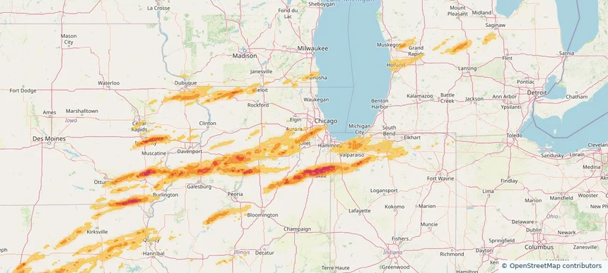
Affected states: Brookfield area, IL
1+ inRadar size estimate 17,797Population Affected 7,127Houses Affected HailHazards FreeAccount signup
Burr Ridge, IL — March 10, 2026 — regional hail footprint preview
Storm footprint preview

Local hail summary for the Burr Ridge area: 7.28 square miles of estimated ground-hail footprint; highest mapped band 1.5+ inches. 0 official hail report(s) within the summary area. Exposure estimates are not confirmed property damage. Open the map to explore the full coverage included in your access. Statistics cover the mapped hail footprint inside the Census boundary of Burr Ridge, IL, not the entire region. The place had 11,192 residents in the 2020 Census. A boundary intersection does not mean the whole community was hit. Estimated housing exposure: 3,803 units in 1-inch-or-larger bands, including 1,412 in 1.5-inch-or-larger bands and 0 in 2-inch-or-larger bands.

Affected states: Burr Ridge area, IL
1.5+ inRadar size estimate 11,153Population Affected 4,547Houses Affected HailHazards FreeAccount signup
Chesterton, IN — March 10, 2026 — regional hail footprint preview
Storm footprint preview

Local hail summary for the Chesterton area: 3.21 square miles of estimated ground-hail footprint; highest mapped band 1+ inches. 0 official hail report(s) within the summary area. Exposure estimates are not confirmed property damage. Open the map to explore the full coverage included in your access. Statistics cover the mapped hail footprint inside the Census boundary of Chesterton, IN, not the entire region. The place had 14,241 residents in the 2020 Census. A boundary intersection does not mean the whole community was hit. Estimated housing exposure: 330 units in 1-inch-or-larger bands, including 0 in 1.5-inch-or-larger bands and 0 in 2-inch-or-larger bands.
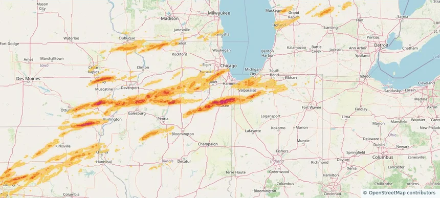
Affected states: Chesterton area, IN
1+ inRadar size estimate 5,521Population Affected 2,244Houses Affected HailHazards FreeAccount signup
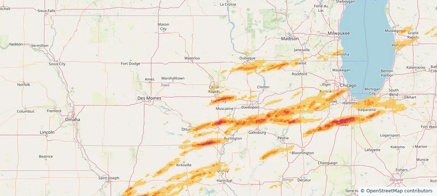
Chicago, IL — March 10, 2026 — regional hail footprint preview
Storm footprint preview

Local hail summary for the Chicago area: 8.01 square miles of estimated ground-hail footprint; highest mapped band 1+ inches. 0 official hail report(s) within the summary area. Exposure estimates are not confirmed property damage. Open the map to explore the full coverage included in your access. Statistics cover the mapped hail footprint inside the Census boundary of Chicago, IL, not the entire region. The place had 2,746,388 residents in the 2020 Census. A boundary intersection does not mean the whole community was hit. Estimated housing exposure: 7,937 units in 1-inch-or-larger bands, including 0 in 1.5-inch-or-larger bands and 0 in 2-inch-or-larger bands.
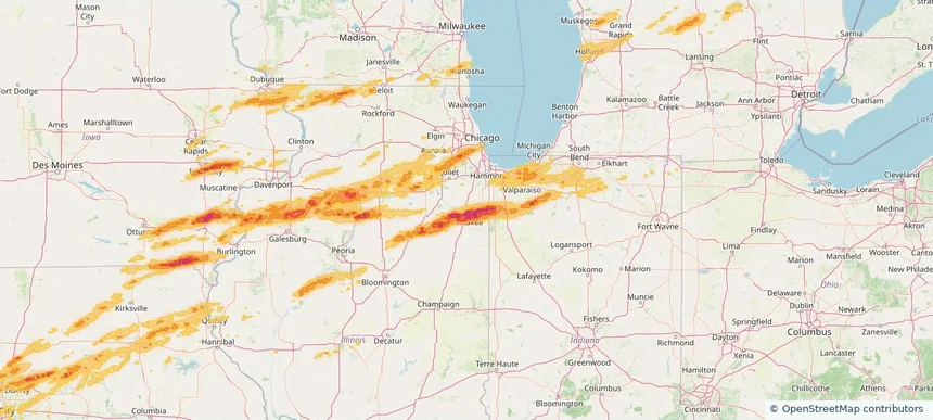
Affected states: Chicago area, IL
1+ inRadar size estimate 86,322Population Affected 26,824Houses Affected HailHazards FreeAccount signup
Choctaw, OK — March 10, 2026 — regional hail footprint preview
Storm footprint preview

Local hail summary for the Choctaw area: 11.45 square miles of estimated ground-hail footprint; highest mapped band 2+ inches. 0 official hail report(s) within the summary area. Exposure estimates are not confirmed property damage. Open the map to explore the full coverage included in your access. Statistics cover the mapped hail footprint inside the Census boundary of Choctaw, OK, not the entire region. The place had 12,182 residents in the 2020 Census. A boundary intersection does not mean the whole community was hit. Estimated housing exposure: 998 units in 1-inch-or-larger bands, including 319 in 1.5-inch-or-larger bands and 0 in 2-inch-or-larger bands.

Affected states: Choctaw area, OK
2+ inRadar size estimate 4,297Population Affected 1,765Houses Affected HailHazards FreeAccount signup
Cicero, IL — March 10, 2026 — regional hail footprint preview
Storm footprint preview

Local hail summary for the Cicero area: 4.14 square miles of estimated ground-hail footprint; highest mapped band 1+ inches. 0 official hail report(s) within the summary area. Exposure estimates are not confirmed property damage. Open the map to explore the full coverage included in your access. Statistics cover the mapped hail footprint inside the Census boundary of Cicero, IL, not the entire region. The place had 85,268 residents in the 2020 Census. A boundary intersection does not mean the whole community was hit. Estimated housing exposure: 7,693 units in 1-inch-or-larger bands, including 0 in 1.5-inch-or-larger bands and 0 in 2-inch-or-larger bands.
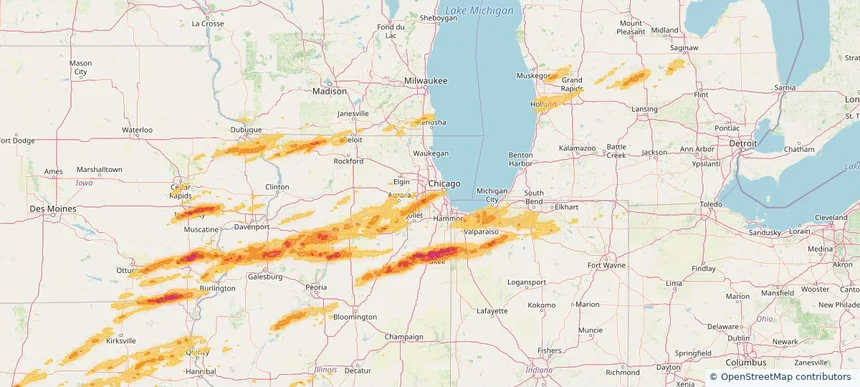
Affected states: Cicero area, IL
1+ inRadar size estimate 52,517Population Affected 16,118Houses Affected HailHazards FreeAccount signup
Darien, IL — March 10, 2026 — regional hail footprint preview
Storm footprint preview

Local hail summary for the Darien area: 6.28 square miles of estimated ground-hail footprint; highest mapped band 1.5+ inches. 1 official hail report(s) within the summary area. Exposure estimates are not confirmed property damage. Open the map to explore the full coverage included in your access. Statistics cover the mapped hail footprint inside the Census boundary of Darien, IL, not the entire region. The place had 22,011 residents in the 2020 Census. A boundary intersection does not mean the whole community was hit. Estimated housing exposure: 9,352 units in 1-inch-or-larger bands, including 2,490 in 1.5-inch-or-larger bands and 0 in 2-inch-or-larger bands.

Affected states: Darien area, IL
1.5+ inRadar size estimate 22,060Population Affected 9,385Houses Affected HailHazards FreeAccount signup
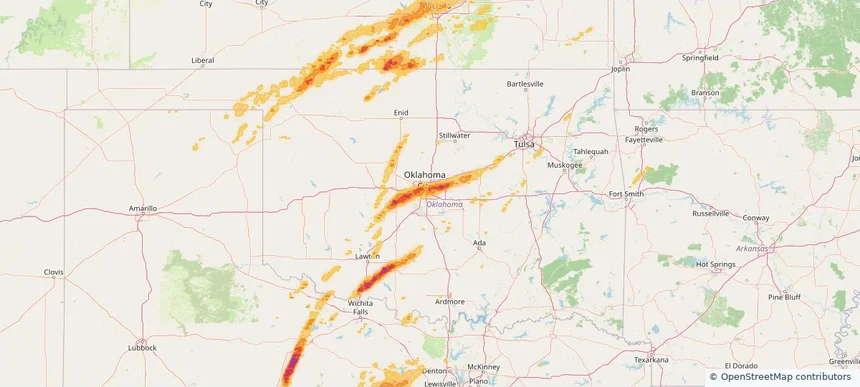
Del City, OK — March 10, 2026 — regional hail footprint preview
Storm footprint preview

Local hail summary for the Del City area: 3.34 square miles of estimated ground-hail footprint; highest mapped band 1+ inches. 0 official hail report(s) within the summary area. Exposure estimates are not confirmed property damage. Open the map to explore the full coverage included in your access. Statistics cover the mapped hail footprint inside the Census boundary of Del City, OK, not the entire region. The place had 21,822 residents in the 2020 Census. A boundary intersection does not mean the whole community was hit. Estimated housing exposure: 192 units in 1-inch-or-larger bands, including 0 in 1.5-inch-or-larger bands and 0 in 2-inch-or-larger bands.
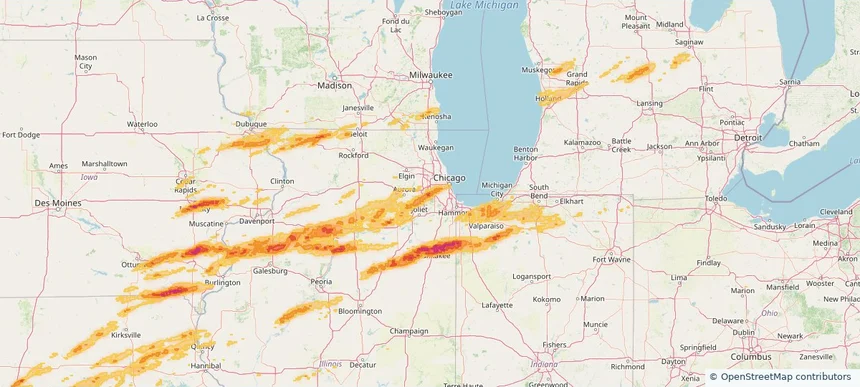
Affected states: Del City area, OK
1+ inRadar size estimate 5,984Population Affected 2,684Houses Affected HailHazards FreeAccount signup
Downers Grove, IL — March 10, 2026 — regional hail footprint preview
Storm footprint preview

Local hail summary for the Downers Grove area: 1.01 square miles of estimated ground-hail footprint; highest mapped band 1+ inches. 1 official hail report(s) within the summary area. Exposure estimates are not confirmed property damage. Open the map to explore the full coverage included in your access. Statistics cover the mapped hail footprint inside the Census boundary of Downers Grove, IL, not the entire region. The place had 50,247 residents in the 2020 Census. A boundary intersection does not mean the whole community was hit. Estimated housing exposure: 1,621 units in 1-inch-or-larger bands, including 0 in 1.5-inch-or-larger bands and 0 in 2-inch-or-larger bands.
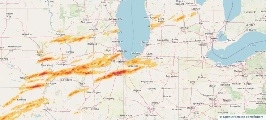
Affected states: Downers Grove area, IL
1+ inRadar size estimate 5,107Population Affected 2,317Houses Affected HailHazards FreeAccount signup
Duncan, OK — March 10, 2026 — regional hail footprint preview
Storm footprint preview

Local hail summary for the Duncan area: 24.34 square miles of estimated ground-hail footprint; highest mapped band 2+ inches. 0 official hail report(s) within the summary area. Exposure estimates are not confirmed property damage. Open the map to explore the full coverage included in your access. Statistics cover the mapped hail footprint inside the Census boundary of Duncan, OK, not the entire region. The place had 22,692 residents in the 2020 Census. A boundary intersection does not mean the whole community was hit. Estimated housing exposure: 1,833 units in 1-inch-or-larger bands, including 174 in 1.5-inch-or-larger bands and 0 in 2-inch-or-larger bands.

Affected states: Duncan area, OK
2+ inRadar size estimate 7,570Population Affected 3,636Houses Affected HailHazards FreeAccount signup
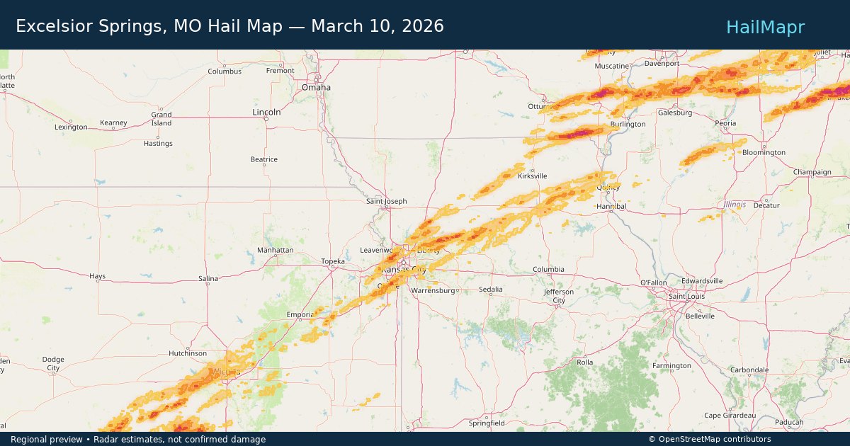
Excelsior Springs, MO — March 10, 2026 — regional hail footprint preview
Storm footprint preview

Local hail summary for the Excelsior Springs area: 8.06 square miles of estimated ground-hail footprint; highest mapped band 1+ inches. 0 official hail report(s) within the summary area. Exposure estimates are not confirmed property damage. Open the map to explore the full coverage included in your access. Statistics cover the mapped hail footprint inside the Census boundary of Excelsior Springs, MO, not the entire region. The place had 10,553 residents in the 2020 Census. A boundary intersection does not mean the whole community was hit. Estimated housing exposure: 243 units in 1-inch-or-larger bands, including 0 in 1.5-inch-or-larger bands and 0 in 2-inch-or-larger bands.
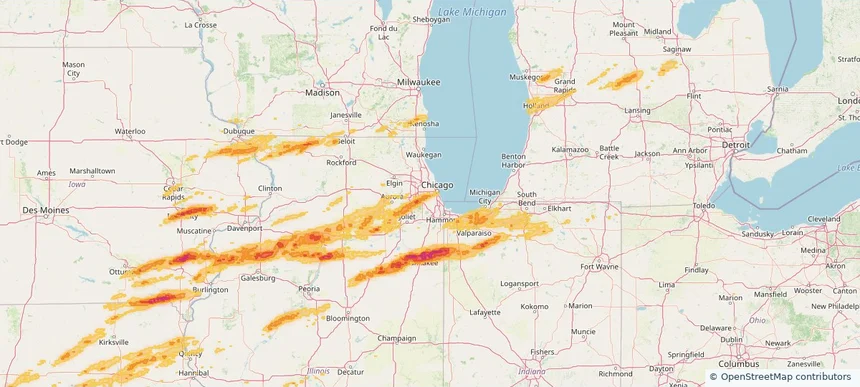
Affected states: Excelsior Springs area, MO
1+ inRadar size estimate 7,419Population Affected 3,544Houses Affected HailHazards FreeAccount signup
Gardner, KS — March 10, 2026 — regional hail footprint preview
Storm footprint preview

Local hail summary for the Gardner area: 3.35 square miles of estimated ground-hail footprint; highest mapped band 1+ inches. 0 official hail report(s) within the summary area. Exposure estimates are not confirmed property damage. Open the map to explore the full coverage included in your access. Statistics cover the mapped hail footprint inside the Census boundary of Gardner, KS, not the entire region. The place had 23,287 residents in the 2020 Census. A boundary intersection does not mean the whole community was hit. Estimated housing exposure: 203 units in 1-inch-or-larger bands, including 0 in 1.5-inch-or-larger bands and 0 in 2-inch-or-larger bands.
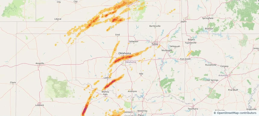
Affected states: Gardner area, KS
1+ inRadar size estimate 5,305Population Affected 2,104Houses Affected HailHazards FreeAccount signup
Hinsdale, IL — March 10, 2026 — regional hail footprint preview
Storm footprint preview

Local hail summary for the Hinsdale area: 1.73 square miles of estimated ground-hail footprint; highest mapped band 1.5+ inches. 0 official hail report(s) within the summary area. Exposure estimates are not confirmed property damage. Open the map to explore the full coverage included in your access. Statistics cover the mapped hail footprint inside the Census boundary of Hinsdale, IL, not the entire region. The place had 17,395 residents in the 2020 Census. A boundary intersection does not mean the whole community was hit. Estimated housing exposure: 1,149 units in 1-inch-or-larger bands, including 0 in 1.5-inch-or-larger bands and 0 in 2-inch-or-larger bands.
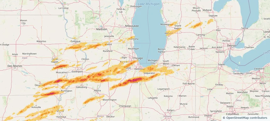
Affected states: Hinsdale area, IL
1.5+ inRadar size estimate 5,948Population Affected 2,181Houses Affected HailHazards FreeAccount signup
Iowa City, IA — March 10, 2026 — regional hail footprint preview
Storm footprint preview

Local hail summary for the Iowa City area: 9.63 square miles of estimated ground-hail footprint; highest mapped band 1.5+ inches. 3 official hail report(s) within the summary area. Exposure estimates are not confirmed property damage. Open the map to explore the full coverage included in your access. Statistics cover the mapped hail footprint inside the Census boundary of Iowa City, IA, not the entire region. The place had 74,828 residents in the 2020 Census. A boundary intersection does not mean the whole community was hit. Estimated housing exposure: 6,019 units in 1-inch-or-larger bands, including 1,308 in 1.5-inch-or-larger bands and 0 in 2-inch-or-larger bands.

Affected states: Iowa City area, IA
1.5+ inRadar size estimate 21,156Population Affected 9,750Houses Affected HailHazards FreeAccount signup
Kankakee, IL — March 10, 2026 — regional hail footprint preview
Storm footprint preview

Local hail summary for the Kankakee area: 15.54 square miles of estimated ground-hail footprint; highest mapped band 2+ inches. 3 official hail report(s) within the summary area. Exposure estimates are not confirmed property damage. Open the map to explore the full coverage included in your access. Statistics cover the mapped hail footprint inside the Census boundary of Kankakee, IL, not the entire region. The place had 24,052 residents in the 2020 Census. A boundary intersection does not mean the whole community was hit. Estimated housing exposure: 10,592 units in 1-inch-or-larger bands, including 10,570 in 1.5-inch-or-larger bands and 1,846 in 2-inch-or-larger bands.

Affected states: Kankakee area, IL
2+ inRadar size estimate 24,036Population Affected 10,592Houses Affected HailHazards FreeAccount signup
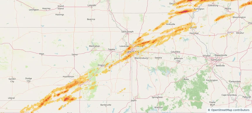
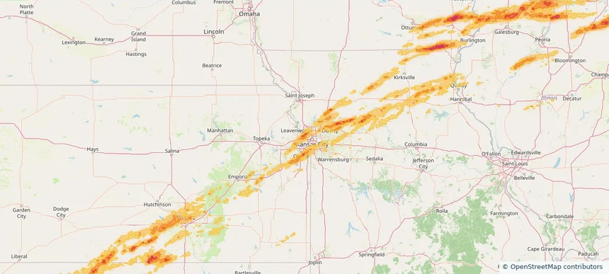
Kansas City, KS — March 10, 2026 — regional hail footprint preview
Storm footprint preview

Local hail summary for the Kansas City area: 51.54 square miles of estimated ground-hail footprint; highest mapped band 1.5+ inches. 1 official hail report(s) within the summary area. Exposure estimates are not confirmed property damage. Open the map to explore the full coverage included in your access. Statistics cover the mapped hail footprint inside the Census boundary of Kansas City, KS, not the entire region. The place had 156,607 residents in the 2020 Census. A boundary intersection does not mean the whole community was hit. Estimated housing exposure: 11,169 units in 1-inch-or-larger bands, including 0 in 1.5-inch-or-larger bands and 0 in 2-inch-or-larger bands.
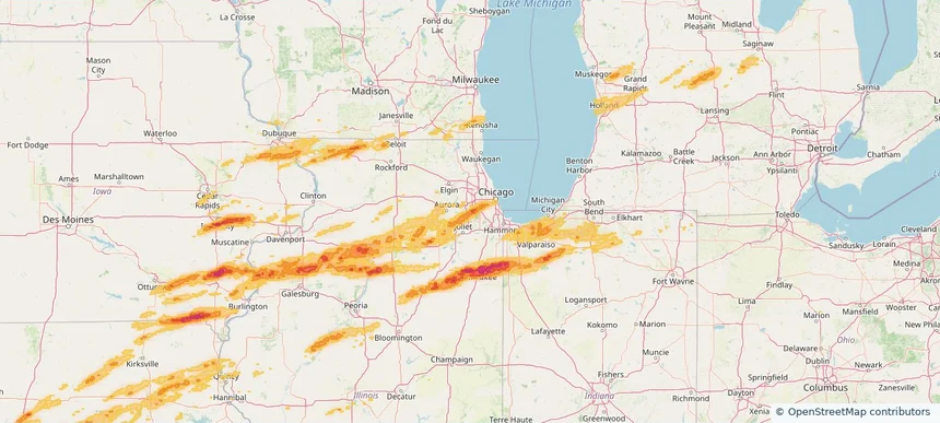
Affected states: Kansas City area, KS
1.5+ inRadar size estimate 59,007Population Affected 24,046Houses Affected HailHazards FreeAccount signup
Page 60 of 101
‹ 1 59 60 61 101 ›

Frequently asked questions

Can I search hail maps by coverage area?

Yes. The storm library supports coverage-area filtering so you can find hail maps and hail swaths in a target service area.

What kinds of storms appear in the HailMapr library?

The library focuses on published hail events, including ready storm maps and live storms once hail has been detected and a public swath is available.

Are HailMapr storm pages useful for roofers and adjusters?

Yes. They are built to help roofers, adjusters, restoration teams, and property owners review storm footprints before purchase.