Storm library

Browse live and recent hail maps.

Review storm footprints, hail swaths, reports, and replay access. Create a free account to save your setup and move into map access when a storm matters.

Search filters
Clear
Newest storms first by default.
Don't see your storm? Request a qualifying storm map and we'll email you when it is ready.
Showing 1393-1416 of 2419 storms · Page 59 of 101
‹ 1 58 59 60 101 ›
Request a storm map

Tell us about the storm and we'll build the map. Once it's published you'll get an email and can purchase it from the library — just like any other event.

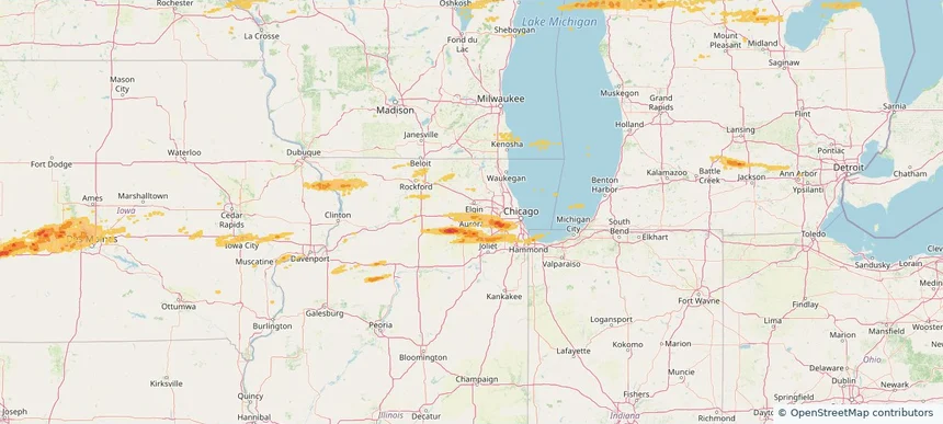
St. Charles, IL — March 30, 2026 — regional hail footprint preview
Storm footprint preview

Local hail summary for the St. Charles area: 3.47 square miles of estimated ground-hail footprint; highest mapped band 1+ inches. 0 official hail report(s) within the summary area. Exposure estimates are not confirmed property damage. Open the map to explore the full coverage included in your access. Statistics cover the mapped hail footprint inside the Census boundary of St. Charles, IL, not the entire region. The place had 33,081 residents in the 2020 Census. A boundary intersection does not mean the whole community was hit. Estimated housing exposure: 1,105 units in 1-inch-or-larger bands, including 0 in 1.5-inch-or-larger bands and 0 in 2-inch-or-larger bands.

Affected states: St. Charles area, IL
1+ inRadar size estimate 11,331Population Affected 4,718Houses Affected HailHazards FreeAccount signup
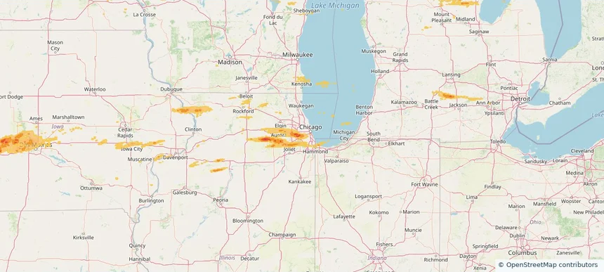
Summit, IL — March 30, 2026 — regional hail footprint preview
Storm footprint preview

Local hail summary for the Summit area: 2.00 square miles of estimated ground-hail footprint; highest mapped band 1+ inches. 0 official hail report(s) within the summary area. Exposure estimates are not confirmed property damage. Open the map to explore the full coverage included in your access. Statistics cover the mapped hail footprint inside the Census boundary of Summit, IL, not the entire region. The place had 11,161 residents in the 2020 Census. A boundary intersection does not mean the whole community was hit. Estimated housing exposure: 2,979 units in 1-inch-or-larger bands, including 0 in 1.5-inch-or-larger bands and 0 in 2-inch-or-larger bands.

Affected states: Summit area, IL
1+ inRadar size estimate 8,992Population Affected 2,979Houses Affected HailHazards FreeAccount signup
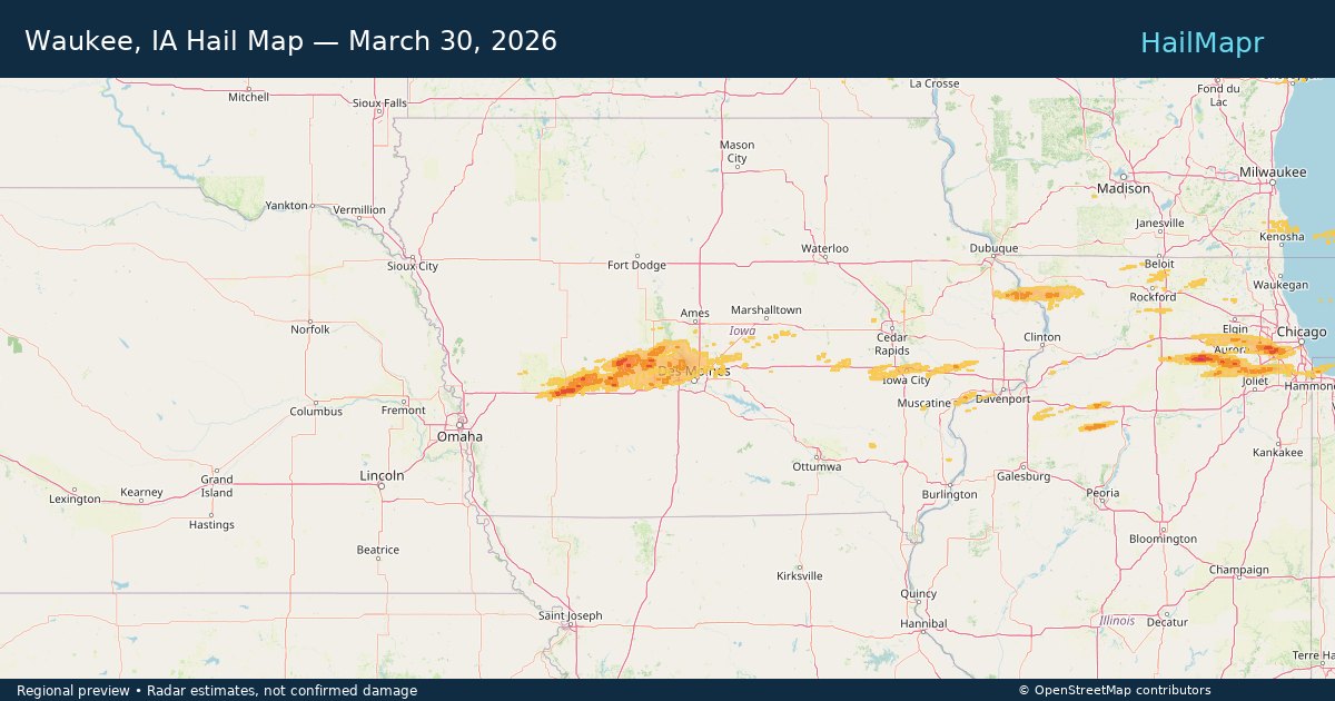
Waukee, IA — March 30, 2026 — regional hail footprint preview
Storm footprint preview

Local hail summary for the Waukee area: 10.78 square miles of estimated ground-hail footprint; highest mapped band 1+ inches. 0 official hail report(s) within the summary area. Exposure estimates are not confirmed property damage. Open the map to explore the full coverage included in your access. Statistics cover the mapped hail footprint inside the Census boundary of Waukee, IA, not the entire region. The place had 23,940 residents in the 2020 Census. A boundary intersection does not mean the whole community was hit. Estimated housing exposure: 3,789 units in 1-inch-or-larger bands, including 0 in 1.5-inch-or-larger bands and 0 in 2-inch-or-larger bands.

Affected states: Waukee area, IA
1+ inRadar size estimate 22,061Population Affected 9,046Houses Affected HailHazards FreeAccount signup
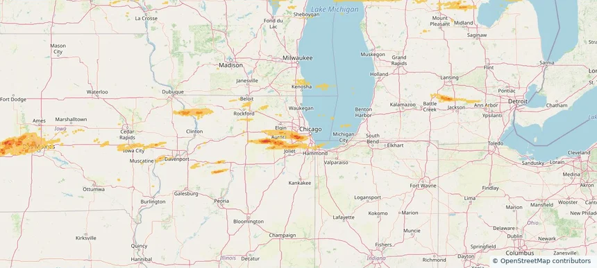
Westchester, IL — March 30, 2026 — regional hail footprint preview
Storm footprint preview

Local hail summary for the Westchester area: 1.93 square miles of estimated ground-hail footprint; highest mapped band 1.5+ inches. 0 official hail report(s) within the summary area. Exposure estimates are not confirmed property damage. Open the map to explore the full coverage included in your access. Statistics cover the mapped hail footprint inside the Census boundary of Westchester, IL, not the entire region. The place had 16,892 residents in the 2020 Census. A boundary intersection does not mean the whole community was hit. Estimated housing exposure: 857 units in 1-inch-or-larger bands, including 0 in 1.5-inch-or-larger bands and 0 in 2-inch-or-larger bands.

Affected states: Westchester area, IL
1.5+ inRadar size estimate 5,902Population Affected 2,788Houses Affected HailHazards FreeAccount signup
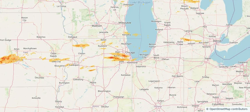
Western Springs, IL — March 30, 2026 — regional hail footprint preview
Storm footprint preview

Local hail summary for the Western Springs area: 2.77 square miles of estimated ground-hail footprint; highest mapped band 1.5+ inches. 0 official hail report(s) within the summary area. Exposure estimates are not confirmed property damage. Open the map to explore the full coverage included in your access. Statistics cover the mapped hail footprint inside the Census boundary of Western Springs, IL, not the entire region. The place had 13,629 residents in the 2020 Census. A boundary intersection does not mean the whole community was hit. Estimated housing exposure: 4,726 units in 1-inch-or-larger bands, including 2,744 in 1.5-inch-or-larger bands and 0 in 2-inch-or-larger bands.

Affected states: Western Springs area, IL
1.5+ inRadar size estimate 13,629Population Affected 4,726Houses Affected HailHazards FreeAccount signup
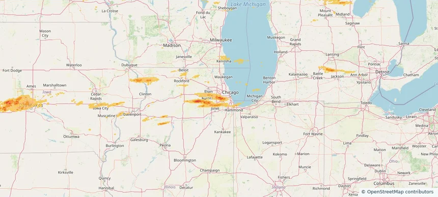
Westmont, IL — March 30, 2026 — regional hail footprint preview
Storm footprint preview

Local hail summary for the Westmont area: 3.04 square miles of estimated ground-hail footprint; highest mapped band 1.5+ inches. 0 official hail report(s) within the summary area. Exposure estimates are not confirmed property damage. Open the map to explore the full coverage included in your access. Statistics cover the mapped hail footprint inside the Census boundary of Westmont, IL, not the entire region. The place had 24,429 residents in the 2020 Census. A boundary intersection does not mean the whole community was hit. Estimated housing exposure: 4,267 units in 1-inch-or-larger bands, including 630 in 1.5-inch-or-larger bands and 0 in 2-inch-or-larger bands.

Affected states: Westmont area, IL
1.5+ inRadar size estimate 11,079Population Affected 5,206Houses Affected HailHazards FreeAccount signup
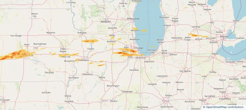
Yorkville, IL — March 30, 2026 — regional hail footprint preview
Storm footprint preview

Local hail summary for the Yorkville area: 2.84 square miles of estimated ground-hail footprint; highest mapped band 1+ inches. 1 official hail report(s) within the summary area. Exposure estimates are not confirmed property damage. Open the map to explore the full coverage included in your access. Statistics cover the mapped hail footprint inside the Census boundary of Yorkville, IL, not the entire region. The place had 21,533 residents in the 2020 Census. A boundary intersection does not mean the whole community was hit. Estimated housing exposure: 236 units in 1-inch-or-larger bands, including 0 in 1.5-inch-or-larger bands and 0 in 2-inch-or-larger bands.

Affected states: Yorkville area, IL
1+ inRadar size estimate 3,211Population Affected 1,108Houses Affected HailHazards FreeAccount signup
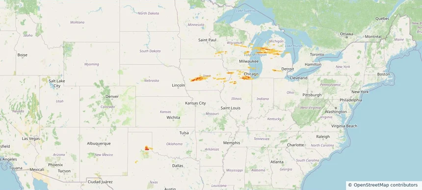
Historical Hail — 2026-03-30 — regional hail footprint preview
Storm footprint preview
Mar 30, 2026 7:00 AM to Mar 31, 2026 7:00 AM CST

Historical Hail — 2026-03-30

Hail as large as 1.75 inches was reported near Memphis, TEXAS. Wind up to 83 mph was reported near 4 miles north-northeast of Shallowater, TX. The storm had 16 official hail reports.

Affected states: National, IL, IN, IA, MI, MN, OK, TX, WI
2.47 inRadar size estimate 1,655,656Population Affected 653,142Houses Affected Hail · WindHazards FreeAccount signup
Danville, IL — March 26, 2026 — regional hail footprint preview
Storm footprint preview

Local hail summary for the Danville area: 8.73 square miles of estimated ground-hail footprint; highest mapped band 1.5+ inches. 0 official hail report(s) within the summary area. Exposure estimates are not confirmed property damage. Open the map to explore the full coverage included in your access. Statistics cover the mapped hail footprint inside the Census boundary of Danville, IL, not the entire region. The place had 29,204 residents in the 2020 Census. A boundary intersection does not mean the whole community was hit. Estimated housing exposure: 7,047 units in 1-inch-or-larger bands, including 438 in 1.5-inch-or-larger bands and 0 in 2-inch-or-larger bands.

Affected states: Danville area, IL
1.5+ inRadar size estimate 20,081Population Affected 9,537Houses Affected HailHazards FreeAccount signup
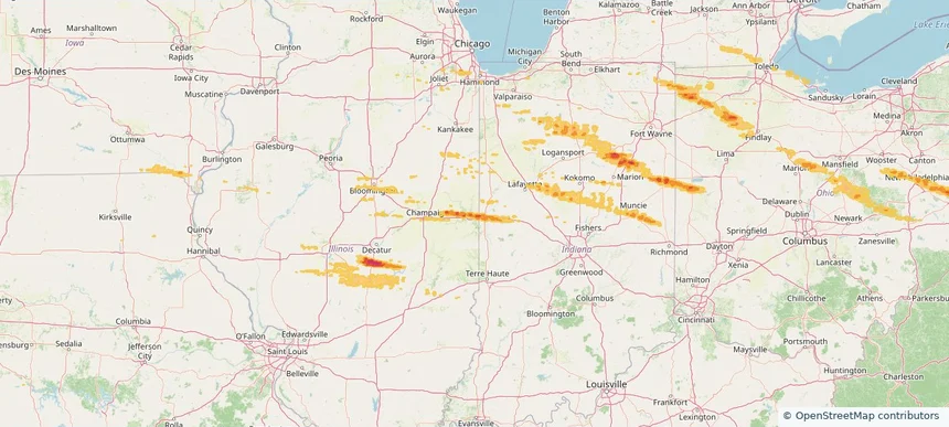
Muncie, IN — March 26, 2026 — regional hail footprint preview
Storm footprint preview

Local hail summary for the Muncie area: 2.52 square miles of estimated ground-hail footprint; highest mapped band 1+ inches. 0 official hail report(s) within the summary area. Exposure estimates are not confirmed property damage. Open the map to explore the full coverage included in your access. Statistics cover the mapped hail footprint inside the Census boundary of Muncie, IN, not the entire region. The place had 65,194 residents in the 2020 Census. A boundary intersection does not mean the whole community was hit. Estimated housing exposure: 257 units in 1-inch-or-larger bands, including 0 in 1.5-inch-or-larger bands and 0 in 2-inch-or-larger bands.

Affected states: Muncie area, IN
1+ inRadar size estimate 5,626Population Affected 2,892Houses Affected HailHazards FreeAccount signup
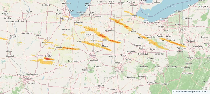
New Philadelphia, OH — March 26, 2026 — regional hail footprint preview
Storm footprint preview

Local hail summary for the New Philadelphia area: 1.62 square miles of estimated ground-hail footprint; highest mapped band 1+ inches. 0 official hail report(s) within the summary area. Exposure estimates are not confirmed property damage. Open the map to explore the full coverage included in your access. Statistics cover the mapped hail footprint inside the Census boundary of New Philadelphia, OH, not the entire region. The place had 17,677 residents in the 2020 Census. A boundary intersection does not mean the whole community was hit. Estimated housing exposure: 198 units in 1-inch-or-larger bands, including 0 in 1.5-inch-or-larger bands and 0 in 2-inch-or-larger bands.

Affected states: New Philadelphia area, OH
1+ inRadar size estimate 2,571Population Affected 1,199Houses Affected HailHazards FreeAccount signup
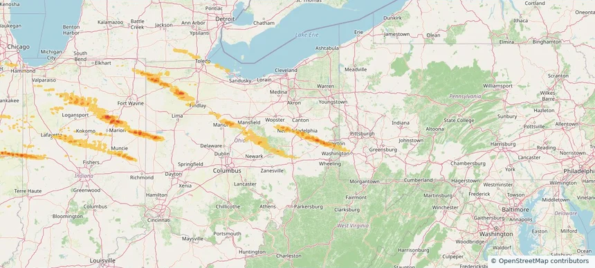
Historical Hail — 2026-03-26 — regional hail footprint preview
Storm footprint preview
Mar 26, 2026 7:00 AM to Mar 27, 2026 7:00 AM CST

Historical Hail — 2026-03-26

Hail as large as 1.75 inches was reported near Van Buren, OHIO. Wind up to 74 mph was reported near 1 mile east of Walton, IN. 5 tornadoes were reported, including one near 3 miles east of La Fontaine, IN. The storm had 22 official hail reports.

Affected states: National, IL, IN, IA, MI, MO, OH, PA, WV
2.0 inRadar size estimate 392,540Population Affected 174,280Houses Affected Hail · Wind · TornadoHazards FreeAccount signup
Cambridge, OH — March 22, 2026 — regional hail footprint preview
Storm footprint preview

Local hail summary for the Cambridge area: 6.26 square miles of estimated ground-hail footprint; highest mapped band 1+ inches. 0 official hail report(s) within the summary area. Exposure estimates are not confirmed property damage. Open the map to explore the full coverage included in your access. Statistics cover the mapped hail footprint inside the Census boundary of Cambridge, OH, not the entire region. The place had 10,089 residents in the 2020 Census. A boundary intersection does not mean the whole community was hit. Estimated housing exposure: 3,970 units in 1-inch-or-larger bands, including 0 in 1.5-inch-or-larger bands and 0 in 2-inch-or-larger bands.

Affected states: Cambridge area, OH
1+ inRadar size estimate 10,043Population Affected 5,239Houses Affected HailHazards FreeAccount signup
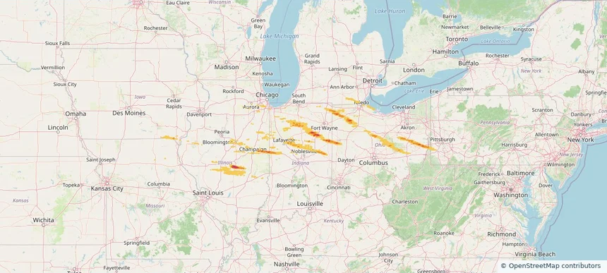
Columbus, OH — March 22, 2026 — regional hail footprint preview
Storm footprint preview

Local hail summary for the Columbus area: 15.23 square miles of estimated ground-hail footprint; highest mapped band 1+ inches. 0 official hail report(s) within the summary area. Exposure estimates are not confirmed property damage. Open the map to explore the full coverage included in your access. Statistics cover the mapped hail footprint inside the Census boundary of Columbus, OH, not the entire region. The place had 905,748 residents in the 2020 Census. A boundary intersection does not mean the whole community was hit. Estimated housing exposure: 7,536 units in 1-inch-or-larger bands, including 0 in 1.5-inch-or-larger bands and 0 in 2-inch-or-larger bands.

Affected states: Columbus area, OH
1+ inRadar size estimate 72,836Population Affected 33,308Houses Affected HailHazards FreeAccount signup
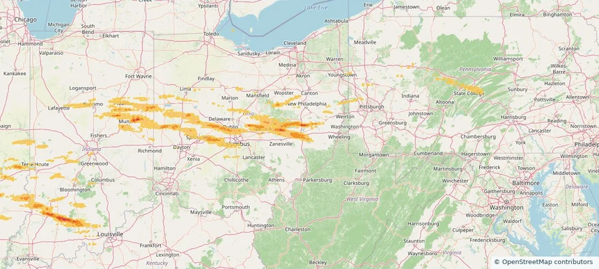
Dublin, OH — March 22, 2026 — regional hail footprint preview
Storm footprint preview

Local hail summary for the Dublin area: 18.90 square miles of estimated ground-hail footprint; highest mapped band 1+ inches. 0 official hail report(s) within the summary area. Exposure estimates are not confirmed property damage. Open the map to explore the full coverage included in your access. Statistics cover the mapped hail footprint inside the Census boundary of Dublin, OH, not the entire region. The place had 49,328 residents in the 2020 Census. A boundary intersection does not mean the whole community was hit. Estimated housing exposure: 5,284 units in 1-inch-or-larger bands, including 0 in 1.5-inch-or-larger bands and 0 in 2-inch-or-larger bands.

Affected states: Dublin area, OH
1+ inRadar size estimate 39,334Population Affected 14,851Houses Affected HailHazards FreeAccount signup
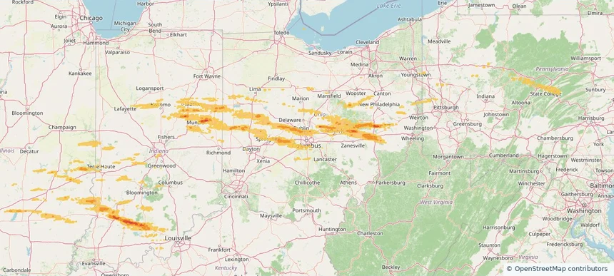
Muncie, IN — March 22, 2026 — regional hail footprint preview
Storm footprint preview

Local hail summary for the Muncie area: 3.31 square miles of estimated ground-hail footprint; highest mapped band 1+ inches. 0 official hail report(s) within the summary area. Exposure estimates are not confirmed property damage. Open the map to explore the full coverage included in your access. Statistics cover the mapped hail footprint inside the Census boundary of Muncie, IN, not the entire region. The place had 65,194 residents in the 2020 Census. A boundary intersection does not mean the whole community was hit. Estimated housing exposure: 386 units in 1-inch-or-larger bands, including 0 in 1.5-inch-or-larger bands and 0 in 2-inch-or-larger bands.

Affected states: Muncie area, IN
1+ inRadar size estimate 6,341Population Affected 3,262Houses Affected HailHazards FreeAccount signup
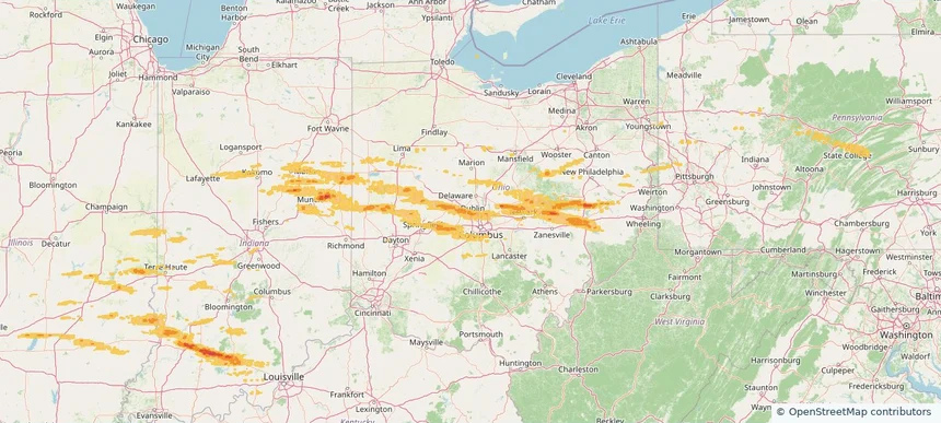
Historical Hail — 2026-03-22 — regional hail footprint preview
Storm footprint preview
Mar 22, 2026 7:00 AM to Mar 23, 2026 7:00 AM CST

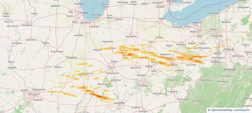
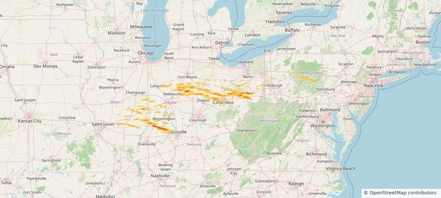
Historical Hail — 2026-03-22

Hail as large as 1.50 inches was reported near Westerville, OHIO. Wind up to 79 mph was reported near 2 miles north-northeast of Whitehall, OH. The storm had 32 official hail reports.

Affected states: National, IL, IN, OH, PA, VA, WV
2.0 inRadar size estimate 780,610Population Affected 335,478Houses Affected Hail · WindHazards FreeAccount signup
Jacksonville, TX — March 15, 2026 — regional hail footprint preview
Storm footprint preview

Local hail summary for the Jacksonville area: 4.42 square miles of estimated ground-hail footprint; highest mapped band 1.5+ inches. 0 official hail report(s) within the summary area. Exposure estimates are not confirmed property damage. Open the map to explore the full coverage included in your access. Statistics cover the mapped hail footprint inside the Census boundary of Jacksonville, TX, not the entire region. The place had 13,997 residents in the 2020 Census. A boundary intersection does not mean the whole community was hit. Estimated housing exposure: 1,080 units in 1-inch-or-larger bands, including 766 in 1.5-inch-or-larger bands and 0 in 2-inch-or-larger bands.

Affected states: Jacksonville area, TX
1.5+ inRadar size estimate 2,907Population Affected 1,306Houses Affected HailHazards FreeAccount signup
Longview, TX — March 15, 2026 — regional hail footprint preview
Storm footprint preview

Local hail summary for the Longview area: 35.28 square miles of estimated ground-hail footprint; highest mapped band 1.5+ inches. 1 official hail report(s) within the summary area. Exposure estimates are not confirmed property damage. Open the map to explore the full coverage included in your access. Statistics cover the mapped hail footprint inside the Census boundary of Longview, TX, not the entire region. The place had 81,638 residents in the 2020 Census. A boundary intersection does not mean the whole community was hit. Estimated housing exposure: 13,908 units in 1-inch-or-larger bands, including 2,652 in 1.5-inch-or-larger bands and 0 in 2-inch-or-larger bands.

Affected states: Longview area, TX
1.5+ inRadar size estimate 55,643Population Affected 23,020Houses Affected HailHazards FreeAccount signup
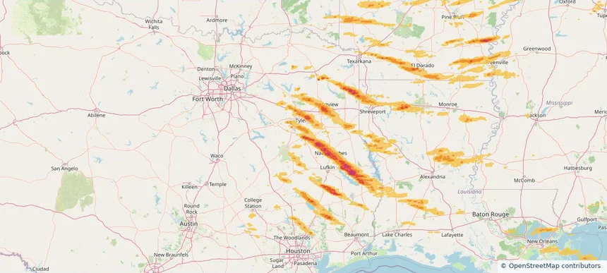
Nacogdoches, TX — March 15, 2026 — regional hail footprint preview
Storm footprint preview

Local hail summary for the Nacogdoches area: 25.39 square miles of estimated ground-hail footprint; highest mapped band 2+ inches. 1 official hail report(s) within the summary area. Exposure estimates are not confirmed property damage. Open the map to explore the full coverage included in your access. Statistics cover the mapped hail footprint inside the Census boundary of Nacogdoches, TX, not the entire region. The place had 32,147 residents in the 2020 Census. A boundary intersection does not mean the whole community was hit. Estimated housing exposure: 13,525 units in 1-inch-or-larger bands, including 10,110 in 1.5-inch-or-larger bands and 59 in 2-inch-or-larger bands.

Affected states: Nacogdoches area, TX
2+ inRadar size estimate 30,453Population Affected 13,831Houses Affected HailHazards FreeAccount signup
Palm Bay, FL — March 15, 2026 — regional hail footprint preview
Storm footprint preview

Local hail summary for the Palm Bay area: 3.21 square miles of estimated ground-hail footprint; highest mapped band 1+ inches. 0 official hail report(s) within the summary area. Exposure estimates are not confirmed property damage. Open the map to explore the full coverage included in your access. Statistics cover the mapped hail footprint inside the Census boundary of Palm Bay, FL, not the entire region. The place had 119,760 residents in the 2020 Census. A boundary intersection does not mean the whole community was hit. Estimated housing exposure: 985 units in 1-inch-or-larger bands, including 0 in 1.5-inch-or-larger bands and 0 in 2-inch-or-larger bands.

Affected states: Palm Bay area, FL
1+ inRadar size estimate 3,737Population Affected 1,406Houses Affected HailHazards FreeAccount signup
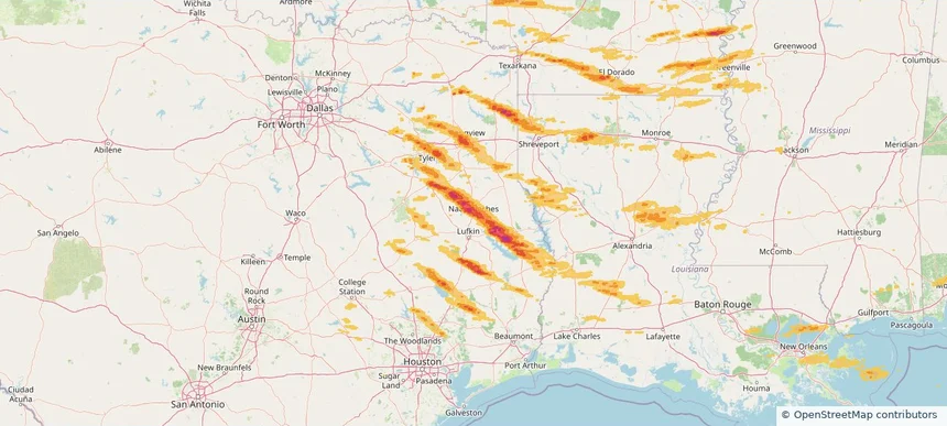
Tyler, TX — March 15, 2026 — regional hail footprint preview
Storm footprint preview

Local hail summary for the Tyler area: 7.00 square miles of estimated ground-hail footprint; highest mapped band 1+ inches. 0 official hail report(s) within the summary area. Exposure estimates are not confirmed property damage. Open the map to explore the full coverage included in your access. Statistics cover the mapped hail footprint inside the Census boundary of Tyler, TX, not the entire region. The place had 105,995 residents in the 2020 Census. A boundary intersection does not mean the whole community was hit. Estimated housing exposure: 2,499 units in 1-inch-or-larger bands, including 0 in 1.5-inch-or-larger bands and 0 in 2-inch-or-larger bands.

Affected states: Tyler area, TX
1+ inRadar size estimate 11,267Population Affected 4,328Houses Affected HailHazards FreeAccount signup
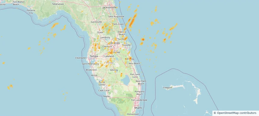
Historical Hail — 2026-03-15 — regional hail footprint preview
Storm footprint preview
Mar 15, 2026 7:00 AM to Mar 16, 2026 7:00 AM CST

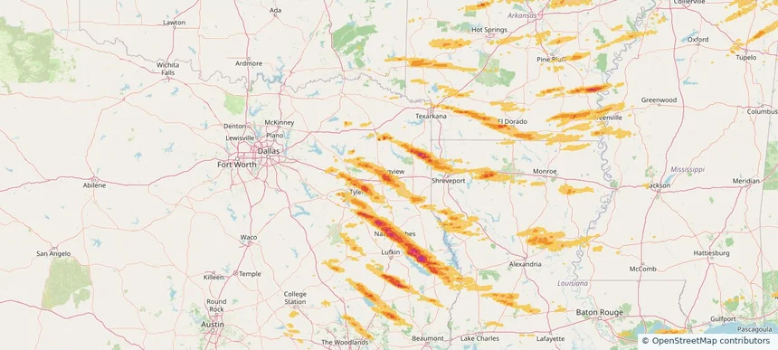
Historical Hail — 2026-03-15

Hail as large as 2.00 inches was reported near Rohwer, ARKANSAS. Wind up to 104 mph was reported near 3 miles west-northwest of Whistler, MS. 67 tornadoes were reported, including one near 4 miles north-northeast of Cabool, MO. The storm had 22 official hail reports.

Affected states: National, AL, AR, FL, GA, IL, IN, KY, LA, MI, MS, MO, NC, OH, OK, SC, TN, TX, VA, WV
2.46 inRadar size estimate 988,812Population Affected 434,106Houses Affected Hail · Wind · TornadoHazards FreeAccount signup
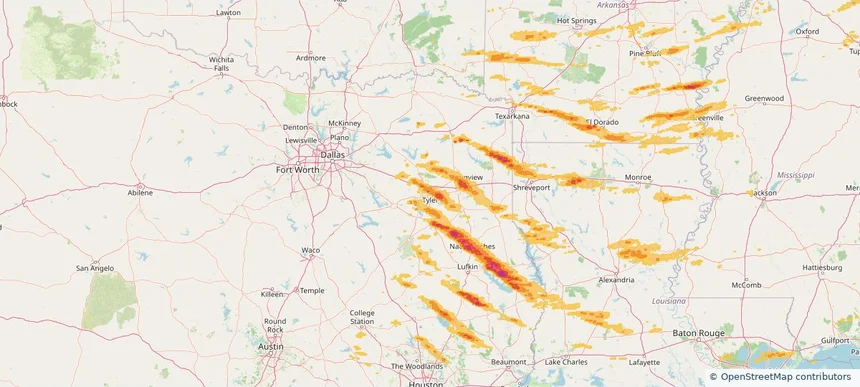
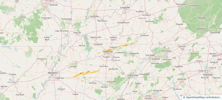
Hendersonville, TN — March 11, 2026 — regional hail footprint preview
Storm footprint preview

Local hail summary for the Hendersonville area: 5.50 square miles of estimated ground-hail footprint; highest mapped band 1+ inches. 1 official hail report(s) within the summary area. Exposure estimates are not confirmed property damage. Open the map to explore the full coverage included in your access. Statistics cover the mapped hail footprint inside the Census boundary of Hendersonville, TN, not the entire region. The place had 61,753 residents in the 2020 Census. A boundary intersection does not mean the whole community was hit. Estimated housing exposure: 2,169 units in 1-inch-or-larger bands, including 0 in 1.5-inch-or-larger bands and 0 in 2-inch-or-larger bands.

Affected states: Hendersonville area, TN
1+ inRadar size estimate 11,445Population Affected 4,582Houses Affected HailHazards FreeAccount signup
Page 59 of 101
‹ 1 58 59 60 101 ›

Frequently asked questions

Can I search hail maps by coverage area?

Yes. The storm library supports coverage-area filtering so you can find hail maps and hail swaths in a target service area.

What kinds of storms appear in the HailMapr library?

The library focuses on published hail events, including ready storm maps and live storms once hail has been detected and a public swath is available.

Are HailMapr storm pages useful for roofers and adjusters?

Yes. They are built to help roofers, adjusters, restoration teams, and property owners review storm footprints before purchase.