
Storm library

Browse live and recent hail maps.

Review storm footprints, hail swaths, reports, and replay access. Create a free account to save your setup and move into map access when a storm matters.

Search filters
Clear
Newest storms first by default.
Don't see your storm? Request a qualifying storm map and we'll email you when it is ready.
Showing 1297-1320 of 2404 storms · Page 55 of 101
‹ 1 54 55 56 101 ›
Request a storm map

Tell us about the storm and we'll build the map. Once it's published you'll get an email and can purchase it from the library — just like any other event.

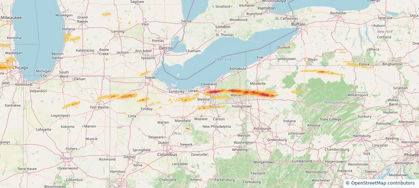
Broadview Heights, OH — April 15, 2026 — regional hail footprint preview
Storm footprint preview

Local hail summary for the Broadview Heights area: 3.00 square miles of estimated ground-hail footprint; highest mapped band 1+ inches. 0 official hail report(s) within the summary area. Exposure estimates are not confirmed property damage. Open the map to explore the full coverage included in your access. Statistics cover the mapped hail footprint inside the Census boundary of Broadview Heights, OH, not the entire region. The place had 19,936 residents in the 2020 Census. A boundary intersection does not mean the whole community was hit. Estimated housing exposure: 463 units in 1-inch-or-larger bands, including 0 in 1.5-inch-or-larger bands and 0 in 2-inch-or-larger bands.

Affected states: Broadview Heights area, OH
1+ inRadar size estimate 3,719Population Affected 1,449Houses Affected HailHazards FreeAccount signup
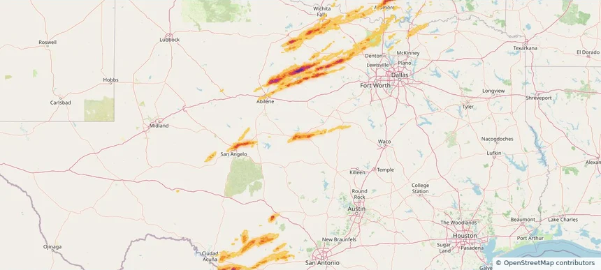
Brownwood, TX — April 15, 2026 — regional hail footprint preview
Storm footprint preview

Local hail summary for the Brownwood area: 9.86 square miles of estimated ground-hail footprint; highest mapped band 1.5+ inches. 0 official hail report(s) within the summary area. Exposure estimates are not confirmed property damage. Open the map to explore the full coverage included in your access. Statistics cover the mapped hail footprint inside the Census boundary of Brownwood, TX, not the entire region. The place had 18,862 residents in the 2020 Census. A boundary intersection does not mean the whole community was hit. Estimated housing exposure: 7,079 units in 1-inch-or-larger bands, including 3,268 in 1.5-inch-or-larger bands and 0 in 2-inch-or-larger bands.

Affected states: Brownwood area, TX
1.5+ inRadar size estimate 16,830Population Affected 7,668Houses Affected HailHazards FreeAccount signup
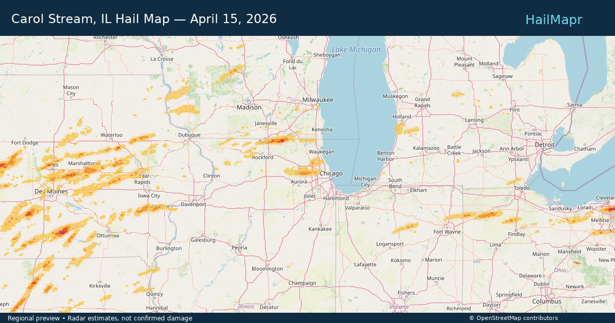
Carol Stream, IL — April 15, 2026 — regional hail footprint preview
Storm footprint preview

Local hail summary for the Carol Stream area: 4.09 square miles of estimated ground-hail footprint; highest mapped band 1+ inches. 0 official hail report(s) within the summary area. Exposure estimates are not confirmed property damage. Open the map to explore the full coverage included in your access. Statistics cover the mapped hail footprint inside the Census boundary of Carol Stream, IL, not the entire region. The place had 39,854 residents in the 2020 Census. A boundary intersection does not mean the whole community was hit. Estimated housing exposure: 4,157 units in 1-inch-or-larger bands, including 0 in 1.5-inch-or-larger bands and 0 in 2-inch-or-larger bands.

Affected states: Carol Stream area, IL
1+ inRadar size estimate 22,177Population Affected 7,701Houses Affected HailHazards FreeAccount signup
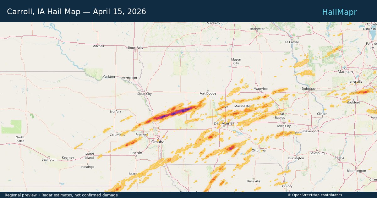
Carroll, IA — April 15, 2026 — regional hail footprint preview
Storm footprint preview

Local hail summary for the Carroll area: 5.20 square miles of estimated ground-hail footprint; highest mapped band 2.5+ inches. 0 official hail report(s) within the summary area. Exposure estimates are not confirmed property damage. Open the map to explore the full coverage included in your access. Statistics cover the mapped hail footprint inside the Census boundary of Carroll, IA, not the entire region. The place had 10,321 residents in the 2020 Census. A boundary intersection does not mean the whole community was hit. Estimated housing exposure: 3,187 units in 1-inch-or-larger bands, including 1,964 in 1.5-inch-or-larger bands and 576 in 2-inch-or-larger bands.

Affected states: Carroll area, IA
2.5+ inRadar size estimate 10,183Population Affected 4,763Houses Affected HailHazards FreeAccount signup
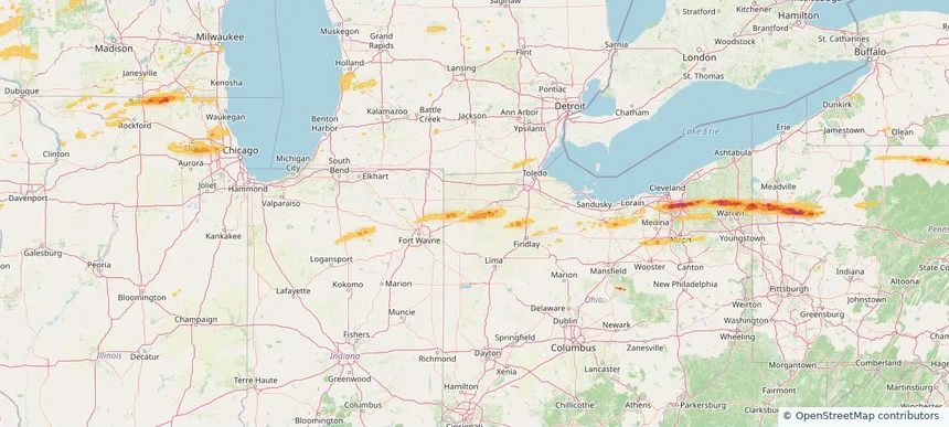
Defiance, OH — April 15, 2026 — regional hail footprint preview
Storm footprint preview

Local hail summary for the Defiance area: 10.41 square miles of estimated ground-hail footprint; highest mapped band 1+ inches. 1 official hail report(s) within the summary area. Exposure estimates are not confirmed property damage. Open the map to explore the full coverage included in your access. Statistics cover the mapped hail footprint inside the Census boundary of Defiance, OH, not the entire region. The place had 17,066 residents in the 2020 Census. A boundary intersection does not mean the whole community was hit. Estimated housing exposure: 3,842 units in 1-inch-or-larger bands, including 0 in 1.5-inch-or-larger bands and 0 in 2-inch-or-larger bands.

Affected states: Defiance area, OH
1+ inRadar size estimate 16,077Population Affected 7,211Houses Affected HailHazards FreeAccount signup
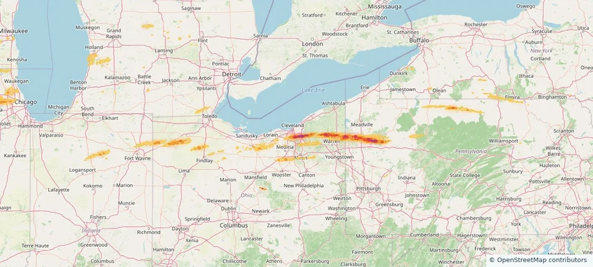
Garfield Heights, OH — April 15, 2026 — regional hail footprint preview
Storm footprint preview

Local hail summary for the Garfield Heights area: 0.82 square miles of estimated ground-hail footprint; highest mapped band 2+ inches. 0 official hail report(s) within the summary area. Exposure estimates are not confirmed property damage. Open the map to explore the full coverage included in your access. Statistics cover the mapped hail footprint inside the Census boundary of Garfield Heights, OH, not the entire region. The place had 29,781 residents in the 2020 Census. A boundary intersection does not mean the whole community was hit. Estimated housing exposure: 1,324 units in 1-inch-or-larger bands, including 562 in 1.5-inch-or-larger bands and 40 in 2-inch-or-larger bands.

Affected states: Garfield Heights area, OH
2+ inRadar size estimate 2,995Population Affected 1,324Houses Affected HailHazards FreeAccount signup
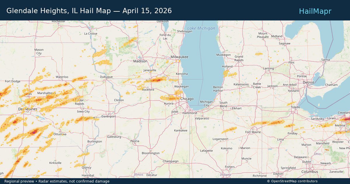
Glendale Heights, IL — April 15, 2026 — regional hail footprint preview
Storm footprint preview

Local hail summary for the Glendale Heights area: 0.96 square miles of estimated ground-hail footprint; highest mapped band 1+ inches. 0 official hail report(s) within the summary area. Exposure estimates are not confirmed property damage. Open the map to explore the full coverage included in your access. Statistics cover the mapped hail footprint inside the Census boundary of Glendale Heights, IL, not the entire region. The place had 33,176 residents in the 2020 Census. A boundary intersection does not mean the whole community was hit. Estimated housing exposure: 133 units in 1-inch-or-larger bands, including 0 in 1.5-inch-or-larger bands and 0 in 2-inch-or-larger bands.

Affected states: Glendale Heights area, IL
1+ inRadar size estimate 5,174Population Affected 2,064Houses Affected HailHazards FreeAccount signup
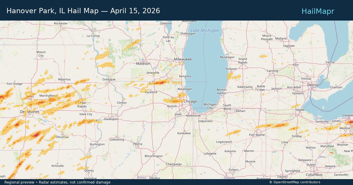
Hanover Park, IL — April 15, 2026 — regional hail footprint preview
Storm footprint preview

Local hail summary for the Hanover Park area: 3.05 square miles of estimated ground-hail footprint; highest mapped band 1+ inches. 0 official hail report(s) within the summary area. Exposure estimates are not confirmed property damage. Open the map to explore the full coverage included in your access. Statistics cover the mapped hail footprint inside the Census boundary of Hanover Park, IL, not the entire region. The place had 37,470 residents in the 2020 Census. A boundary intersection does not mean the whole community was hit. Estimated housing exposure: 3,117 units in 1-inch-or-larger bands, including 0 in 1.5-inch-or-larger bands and 0 in 2-inch-or-larger bands.

Affected states: Hanover Park area, IL
1+ inRadar size estimate 14,979Population Affected 4,770Houses Affected HailHazards FreeAccount signup
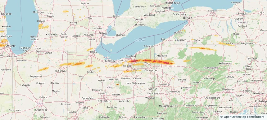
Maple Heights, OH — April 15, 2026 — regional hail footprint preview
Storm footprint preview

Local hail summary for the Maple Heights area: 2.31 square miles of estimated ground-hail footprint; highest mapped band 2+ inches. 0 official hail report(s) within the summary area. Exposure estimates are not confirmed property damage. Open the map to explore the full coverage included in your access. Statistics cover the mapped hail footprint inside the Census boundary of Maple Heights, OH, not the entire region. The place had 23,701 residents in the 2020 Census. A boundary intersection does not mean the whole community was hit. Estimated housing exposure: 4,615 units in 1-inch-or-larger bands, including 2,387 in 1.5-inch-or-larger bands and 93 in 2-inch-or-larger bands.

Affected states: Maple Heights area, OH
2+ inRadar size estimate 9,805Population Affected 4,634Houses Affected HailHazards FreeAccount signup
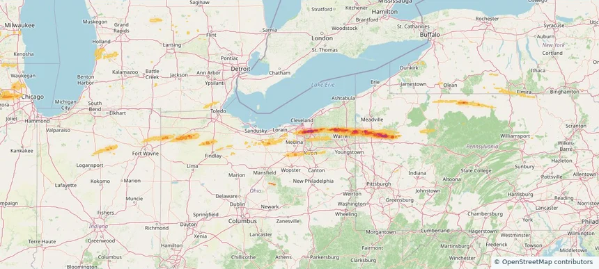
North Royalton, OH — April 15, 2026 — regional hail footprint preview
Storm footprint preview

Local hail summary for the North Royalton area: 0.48 square miles of estimated ground-hail footprint; highest mapped band 1+ inches. 0 official hail report(s) within the summary area. Exposure estimates are not confirmed property damage. Open the map to explore the full coverage included in your access. Statistics cover the mapped hail footprint inside the Census boundary of North Royalton, OH, not the entire region. The place had 31,322 residents in the 2020 Census. A boundary intersection does not mean the whole community was hit. Estimated housing exposure: 308 units in 1-inch-or-larger bands, including 0 in 1.5-inch-or-larger bands and 0 in 2-inch-or-larger bands.

Affected states: North Royalton area, OH
1+ inRadar size estimate 962Population Affected 352Houses Affected HailHazards FreeAccount signup
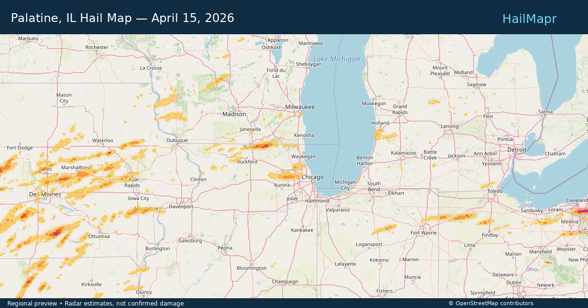
Palatine, IL — April 15, 2026 — regional hail footprint preview
Storm footprint preview

Local hail summary for the Palatine area: 1.19 square miles of estimated ground-hail footprint; highest mapped band 1+ inches. 0 official hail report(s) within the summary area. Exposure estimates are not confirmed property damage. Open the map to explore the full coverage included in your access. Statistics cover the mapped hail footprint inside the Census boundary of Palatine, IL, not the entire region. The place had 67,908 residents in the 2020 Census. A boundary intersection does not mean the whole community was hit. Estimated housing exposure: 1,893 units in 1-inch-or-larger bands, including 0 in 1.5-inch-or-larger bands and 0 in 2-inch-or-larger bands.

Affected states: Palatine area, IL
1+ inRadar size estimate 5,108Population Affected 2,533Houses Affected HailHazards FreeAccount signup
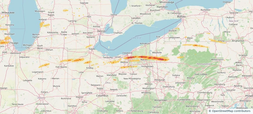
Parma, OH — April 15, 2026 — regional hail footprint preview
Storm footprint preview

Local hail summary for the Parma area: 8.12 square miles of estimated ground-hail footprint; highest mapped band 1+ inches. 0 official hail report(s) within the summary area. Exposure estimates are not confirmed property damage. Open the map to explore the full coverage included in your access. Statistics cover the mapped hail footprint inside the Census boundary of Parma, OH, not the entire region. The place had 81,146 residents in the 2020 Census. A boundary intersection does not mean the whole community was hit. Estimated housing exposure: 6,798 units in 1-inch-or-larger bands, including 0 in 1.5-inch-or-larger bands and 0 in 2-inch-or-larger bands.

Affected states: Parma area, OH
1+ inRadar size estimate 23,128Population Affected 10,401Houses Affected HailHazards FreeAccount signup
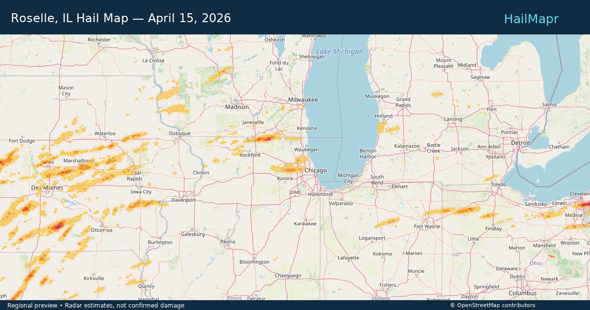
Roselle, IL — April 15, 2026 — regional hail footprint preview
Storm footprint preview

Local hail summary for the Roselle area: 3.88 square miles of estimated ground-hail footprint; highest mapped band 1+ inches. 0 official hail report(s) within the summary area. Exposure estimates are not confirmed property damage. Open the map to explore the full coverage included in your access. Statistics cover the mapped hail footprint inside the Census boundary of Roselle, IL, not the entire region. The place had 22,897 residents in the 2020 Census. A boundary intersection does not mean the whole community was hit. Estimated housing exposure: 3,637 units in 1-inch-or-larger bands, including 0 in 1.5-inch-or-larger bands and 0 in 2-inch-or-larger bands.

Affected states: Roselle area, IL
1+ inRadar size estimate 15,523Population Affected 6,188Houses Affected HailHazards FreeAccount signup
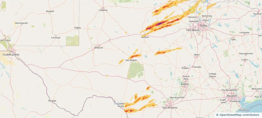
San Angelo, TX — April 15, 2026 — regional hail footprint preview
Storm footprint preview

Local hail summary for the San Angelo area: 9.98 square miles of estimated ground-hail footprint; highest mapped band 1.5+ inches. 0 official hail report(s) within the summary area. Exposure estimates are not confirmed property damage. Open the map to explore the full coverage included in your access. Statistics cover the mapped hail footprint inside the Census boundary of San Angelo, TX, not the entire region. The place had 99,893 residents in the 2020 Census. A boundary intersection does not mean the whole community was hit. Estimated housing exposure: 844 units in 1-inch-or-larger bands, including 0 in 1.5-inch-or-larger bands and 0 in 2-inch-or-larger bands.

Affected states: San Angelo area, TX
1.5+ inRadar size estimate 10,054Population Affected 4,109Houses Affected HailHazards FreeAccount signup
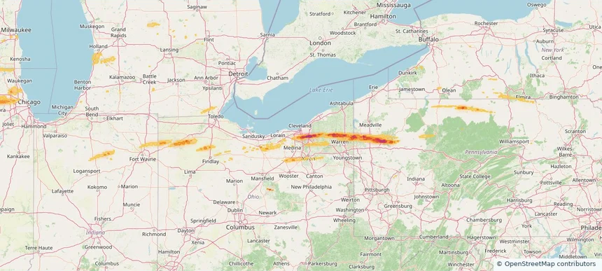
Seven Hills, OH — April 15, 2026 — regional hail footprint preview
Storm footprint preview

Local hail summary for the Seven Hills area: 3.45 square miles of estimated ground-hail footprint; highest mapped band 1+ inches. 2 official hail report(s) within the summary area. Exposure estimates are not confirmed property damage. Open the map to explore the full coverage included in your access. Statistics cover the mapped hail footprint inside the Census boundary of Seven Hills, OH, not the entire region. The place had 11,720 residents in the 2020 Census. A boundary intersection does not mean the whole community was hit. Estimated housing exposure: 2,868 units in 1-inch-or-larger bands, including 0 in 1.5-inch-or-larger bands and 0 in 2-inch-or-larger bands.

Affected states: Seven Hills area, OH
1+ inRadar size estimate 7,560Population Affected 3,424Houses Affected HailHazards FreeAccount signup
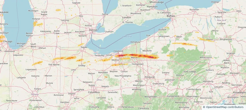
Solon, OH — April 15, 2026 — regional hail footprint preview
Storm footprint preview

Local hail summary for the Solon area: 15.17 square miles of estimated ground-hail footprint; highest mapped band 2.5+ inches. 1 official hail report(s) within the summary area. Exposure estimates are not confirmed property damage. Open the map to explore the full coverage included in your access. Statistics cover the mapped hail footprint inside the Census boundary of Solon, OH, not the entire region. The place had 24,262 residents in the 2020 Census. A boundary intersection does not mean the whole community was hit. Estimated housing exposure: 6,541 units in 1-inch-or-larger bands, including 4,238 in 1.5-inch-or-larger bands and 2,797 in 2-inch-or-larger bands.

Affected states: Solon area, OH
2.5+ inRadar size estimate 17,604Population Affected 6,714Houses Affected HailHazards FreeAccount signup
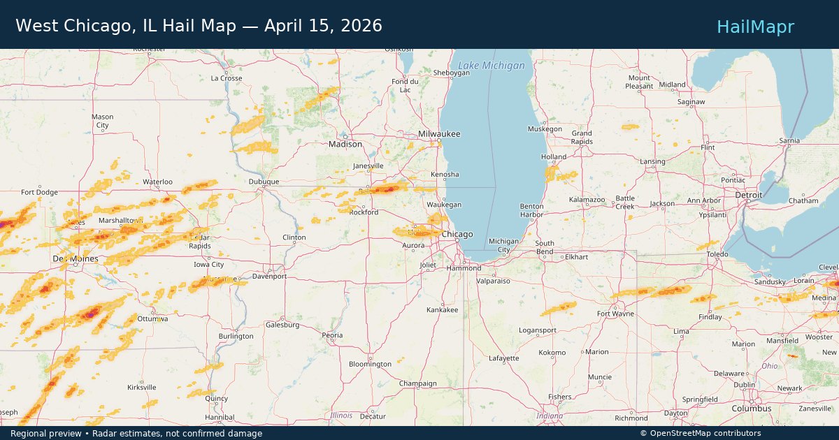
West Chicago, IL — April 15, 2026 — regional hail footprint preview
Storm footprint preview

Local hail summary for the West Chicago area: 2.38 square miles of estimated ground-hail footprint; highest mapped band 1+ inches. 0 official hail report(s) within the summary area. Exposure estimates are not confirmed property damage. Open the map to explore the full coverage included in your access. Statistics cover the mapped hail footprint inside the Census boundary of West Chicago, IL, not the entire region. The place had 25,614 residents in the 2020 Census. A boundary intersection does not mean the whole community was hit. Estimated housing exposure: 148 units in 1-inch-or-larger bands, including 0 in 1.5-inch-or-larger bands and 0 in 2-inch-or-larger bands.

Affected states: West Chicago area, IL
1+ inRadar size estimate 3,657Population Affected 1,110Houses Affected HailHazards FreeAccount signup
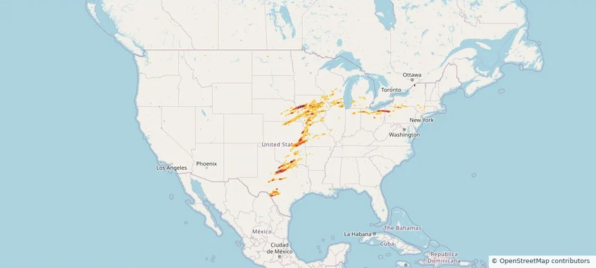
Nationwide Daily Hail, Wind & Tornado Map - April 15, 2026 — regional hail footprint preview
Storm footprint preview
Apr 14, 2026 10:00 PM to Apr 16, 2026 2:00 AM CST

Nationwide Daily Hail, Wind & Tornado Map - April 15, 2026

Hail as large as 4.00 inches was reported near Paola, KS. Wind up to 104 mph was reported near 3 miles southwest of Brookfield Center, OH. 22 tornadoes were reported, including one near 2 miles east of Fenwick, MI. The storm had 87 official hail reports.

Affected states: National, AR, CT, IL, IN, IA, KS, MI, MN, MS, MO, NE, NY, OH, OK, PA, TX, WI
3.5 inRadar size estimate 1,491,814Population Affected 643,682Houses Affected Hail · Wind · TornadoHazards FreeAccount signup
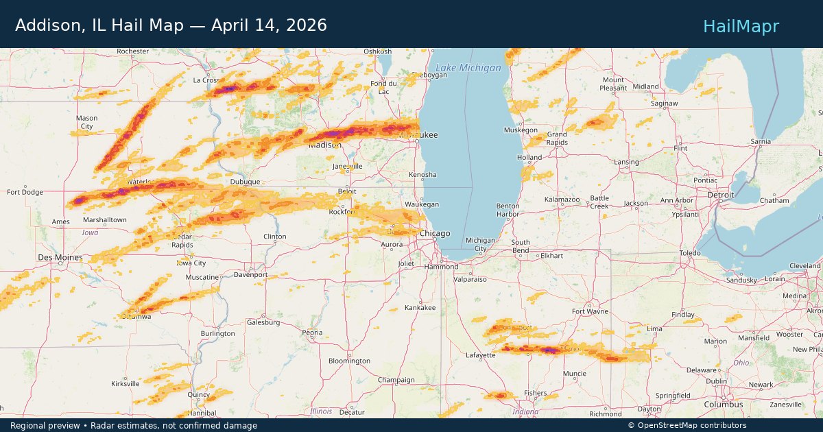
Addison, IL — April 14, 2026 — regional hail footprint preview
Storm footprint preview

Local hail summary for the Addison area: 1.96 square miles of estimated ground-hail footprint; highest mapped band 1+ inches. 0 official hail report(s) within the summary area. Exposure estimates are not confirmed property damage. Open the map to explore the full coverage included in your access. Statistics cover the mapped hail footprint inside the Census boundary of Addison, IL, not the entire region. The place had 35,702 residents in the 2020 Census. A boundary intersection does not mean the whole community was hit. Estimated housing exposure: 854 units in 1-inch-or-larger bands, including 0 in 1.5-inch-or-larger bands and 0 in 2-inch-or-larger bands.

Affected states: Addison area, IL
1+ inRadar size estimate 8,502Population Affected 3,288Houses Affected HailHazards FreeAccount signup
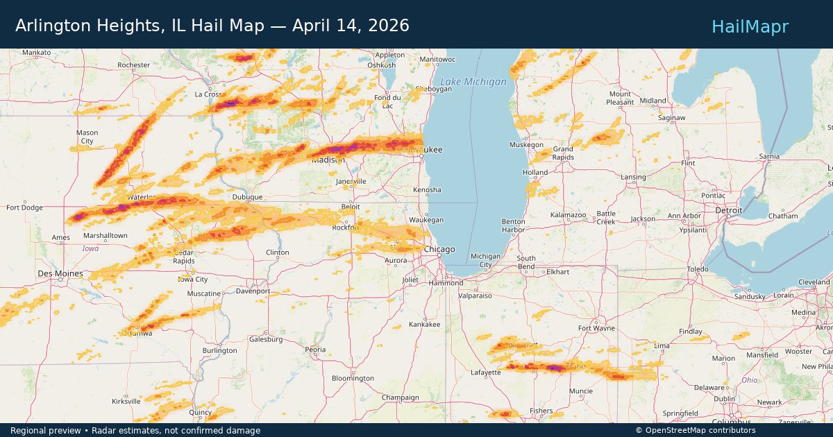
Arlington Heights, IL — April 14, 2026 — regional hail footprint preview
Storm footprint preview

Local hail summary for the Arlington Heights area: 10.80 square miles of estimated ground-hail footprint; highest mapped band 1+ inches. 0 official hail report(s) within the summary area. Exposure estimates are not confirmed property damage. Open the map to explore the full coverage included in your access. Statistics cover the mapped hail footprint inside the Census boundary of Arlington Heights, IL, not the entire region. The place had 77,676 residents in the 2020 Census. A boundary intersection does not mean the whole community was hit. Estimated housing exposure: 2,878 units in 1-inch-or-larger bands, including 0 in 1.5-inch-or-larger bands and 0 in 2-inch-or-larger bands.

Affected states: Arlington Heights area, IL
1+ inRadar size estimate 46,564Population Affected 19,257Houses Affected HailHazards FreeAccount signup
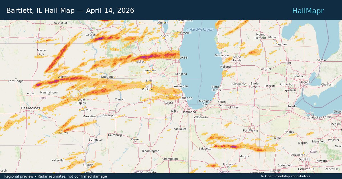
Bartlett, IL — April 14, 2026 — regional hail footprint preview
Storm footprint preview

Local hail summary for the Bartlett area: 4.41 square miles of estimated ground-hail footprint; highest mapped band 1+ inches. 0 official hail report(s) within the summary area. Exposure estimates are not confirmed property damage. Open the map to explore the full coverage included in your access. Statistics cover the mapped hail footprint inside the Census boundary of Bartlett, IL, not the entire region. The place had 41,105 residents in the 2020 Census. A boundary intersection does not mean the whole community was hit. Estimated housing exposure: 1,960 units in 1-inch-or-larger bands, including 0 in 1.5-inch-or-larger bands and 0 in 2-inch-or-larger bands.

Affected states: Bartlett area, IL
1+ inRadar size estimate 11,895Population Affected 4,069Houses Affected HailHazards FreeAccount signup
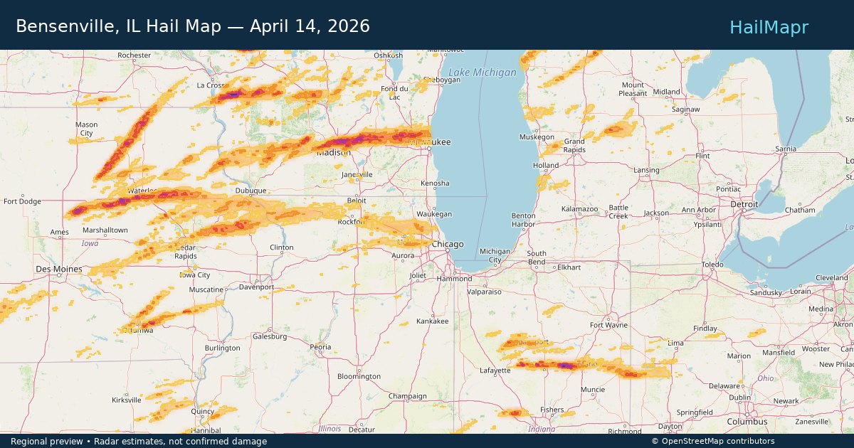
Bensenville, IL — April 14, 2026 — regional hail footprint preview
Storm footprint preview

Local hail summary for the Bensenville area: 2.18 square miles of estimated ground-hail footprint; highest mapped band 1+ inches. 0 official hail report(s) within the summary area. Exposure estimates are not confirmed property damage. Open the map to explore the full coverage included in your access. Statistics cover the mapped hail footprint inside the Census boundary of Bensenville, IL, not the entire region. The place had 18,813 residents in the 2020 Census. A boundary intersection does not mean the whole community was hit. Estimated housing exposure: 1,058 units in 1-inch-or-larger bands, including 0 in 1.5-inch-or-larger bands and 0 in 2-inch-or-larger bands.

Affected states: Bensenville area, IL
1+ inRadar size estimate 7,435Population Affected 2,510Houses Affected HailHazards FreeAccount signup
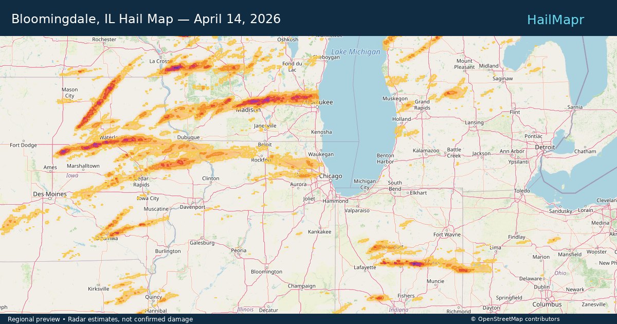
Bloomingdale, IL — April 14, 2026 — regional hail footprint preview
Storm footprint preview

Local hail summary for the Bloomingdale area: 6.94 square miles of estimated ground-hail footprint; highest mapped band 1+ inches. 0 official hail report(s) within the summary area. Exposure estimates are not confirmed property damage. Open the map to explore the full coverage included in your access. Statistics cover the mapped hail footprint inside the Census boundary of Bloomingdale, IL, not the entire region. The place had 22,382 residents in the 2020 Census. A boundary intersection does not mean the whole community was hit. Estimated housing exposure: 6,801 units in 1-inch-or-larger bands, including 0 in 1.5-inch-or-larger bands and 0 in 2-inch-or-larger bands.

Affected states: Bloomingdale area, IL
1+ inRadar size estimate 22,223Population Affected 9,251Houses Affected HailHazards FreeAccount signup
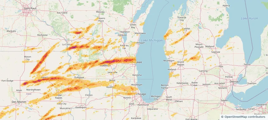
Brown Deer, WI — April 14, 2026 — regional hail footprint preview
Storm footprint preview

Local hail summary for the Brown Deer area: 4.40 square miles of estimated ground-hail footprint; highest mapped band 1+ inches. 0 official hail report(s) within the summary area. Exposure estimates are not confirmed property damage. Open the map to explore the full coverage included in your access. Statistics cover the mapped hail footprint inside the Census boundary of Brown Deer, WI, not the entire region. The place had 12,507 residents in the 2020 Census. A boundary intersection does not mean the whole community was hit. Estimated housing exposure: 4,184 units in 1-inch-or-larger bands, including 0 in 1.5-inch-or-larger bands and 0 in 2-inch-or-larger bands.

Affected states: Brown Deer area, WI
1+ inRadar size estimate 12,507Population Affected 5,865Houses Affected HailHazards FreeAccount signup
Page 55 of 101
‹ 1 54 55 56 101 ›

Frequently asked questions

Can I search hail maps by coverage area?

Yes. The storm library supports coverage-area filtering so you can find hail maps and hail swaths in a target service area.

What kinds of storms appear in the HailMapr library?

The library focuses on published hail events, including ready storm maps and live storms once hail has been detected and a public swath is available.

Are HailMapr storm pages useful for roofers and adjusters?

Yes. They are built to help roofers, adjusters, restoration teams, and property owners review storm footprints before purchase.