
Storm library

Browse live and recent hail maps.

Review storm footprints, hail swaths, reports, and replay access. Create a free account to save your setup and move into map access when a storm matters.

Search filters
Clear
Newest storms first by default.
Don't see your storm? Request a qualifying storm map and we'll email you when it is ready.
Showing 937-960 of 2372 storms · Page 40 of 99
‹ 1 39 40 41 99 ›
Request a storm map

Tell us about the storm and we'll build the map. Once it's published you'll get an email and can purchase it from the library — just like any other event.

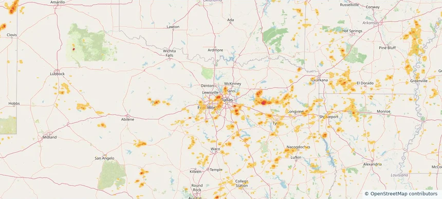
Irving, TX — June 02, 2026 — regional hail footprint preview
Storm footprint preview

Local hail summary for the Irving area: 12.59 square miles of estimated ground-hail footprint; highest mapped band 1.5+ inches. 0 official hail report(s) within the summary area. Exposure estimates are not confirmed property damage. Open the map to explore the full coverage included in your access. Statistics cover the mapped hail footprint inside the Census boundary of Irving, TX, not the entire region. The place had 256,684 residents in the 2020 Census. A boundary intersection does not mean the whole community was hit. Estimated housing exposure: 6,429 units in 1-inch-or-larger bands, including 6 in 1.5-inch-or-larger bands and 0 in 2-inch-or-larger bands.

Affected states: Irving area, TX
1.5+ inRadar size estimate 33,935Population Affected 10,672Houses Affected HailHazards FreeAccount signup
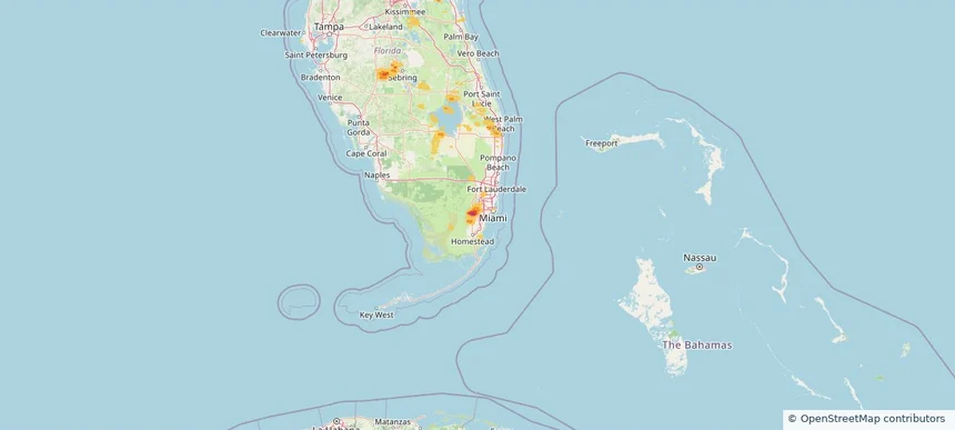
Kendale Lakes, FL — June 02, 2026 — regional hail footprint preview
Storm footprint preview

Local hail summary for the Kendale Lakes area: 1.25 square miles of estimated ground-hail footprint; highest mapped band 1+ inches. 0 official hail report(s) within the summary area. Exposure estimates are not confirmed property damage. Open the map to explore the full coverage included in your access. Statistics cover the mapped hail footprint inside the Census boundary of Kendale Lakes, FL, not the entire region. The place had 55,646 residents in the 2020 Census. A boundary intersection does not mean the whole community was hit. Estimated housing exposure: 2,066 units in 1-inch-or-larger bands, including 0 in 1.5-inch-or-larger bands and 0 in 2-inch-or-larger bands.

Affected states: Kendale Lakes area, FL
1+ inRadar size estimate 10,546Population Affected 3,480Houses Affected HailHazards FreeAccount signup
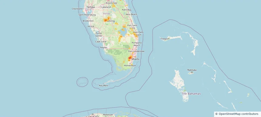
Kendall West, FL — June 02, 2026 — regional hail footprint preview
Storm footprint preview

Local hail summary for the Kendall West area: 1.49 square miles of estimated ground-hail footprint; highest mapped band 1.5+ inches. 0 official hail report(s) within the summary area. Exposure estimates are not confirmed property damage. Open the map to explore the full coverage included in your access. Statistics cover the mapped hail footprint inside the Census boundary of Kendall West, FL, not the entire region. The place had 36,536 residents in the 2020 Census. A boundary intersection does not mean the whole community was hit. Estimated housing exposure: 3,168 units in 1-inch-or-larger bands, including 419 in 1.5-inch-or-larger bands and 0 in 2-inch-or-larger bands.

Affected states: Kendall West area, FL
1.5+ inRadar size estimate 12,107Population Affected 3,823Houses Affected HailHazards FreeAccount signup
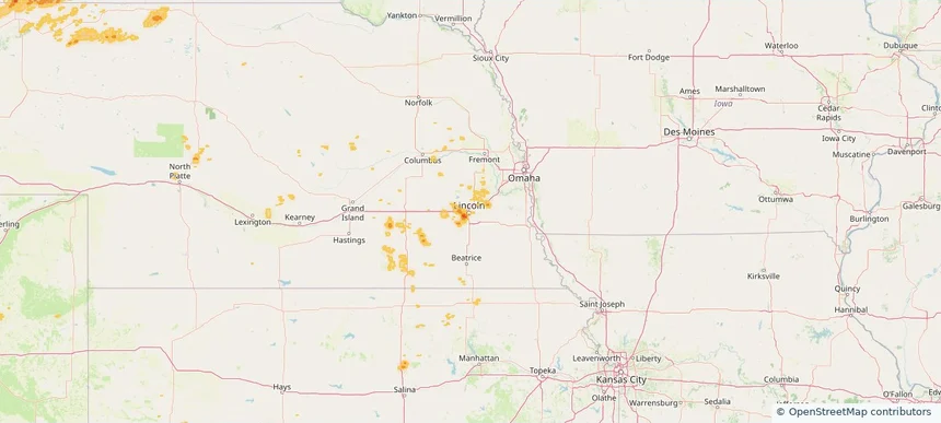
Lincoln, NE — June 02, 2026 — regional hail footprint preview
Storm footprint preview

Local hail summary for the Lincoln area: 2.12 square miles of estimated ground-hail footprint; highest mapped band 1+ inches. 0 official hail report(s) within the summary area. Exposure estimates are not confirmed property damage. Open the map to explore the full coverage included in your access. Statistics cover the mapped hail footprint inside the Census boundary of Lincoln, NE, not the entire region. The place had 291,082 residents in the 2020 Census. A boundary intersection does not mean the whole community was hit. Estimated housing exposure: 346 units in 1-inch-or-larger bands, including 0 in 1.5-inch-or-larger bands and 0 in 2-inch-or-larger bands.

Affected states: Lincoln area, NE
1+ inRadar size estimate 7,725Population Affected 2,285Houses Affected HailHazards FreeAccount signup
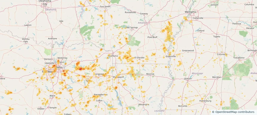
Magnolia, AR — June 02, 2026 — regional hail footprint preview
Storm footprint preview

Local hail summary for the Magnolia area: 2.16 square miles of estimated ground-hail footprint; highest mapped band 1.5+ inches. 0 official hail report(s) within the summary area. Exposure estimates are not confirmed property damage. Open the map to explore the full coverage included in your access. Statistics cover the mapped hail footprint inside the Census boundary of Magnolia, AR, not the entire region. The place had 11,162 residents in the 2020 Census. A boundary intersection does not mean the whole community was hit. Estimated housing exposure: 159 units in 1-inch-or-larger bands, including 0 in 1.5-inch-or-larger bands and 0 in 2-inch-or-larger bands.

Affected states: Magnolia area, AR
1.5+ inRadar size estimate 744Population Affected 345Houses Affected HailHazards FreeAccount signup
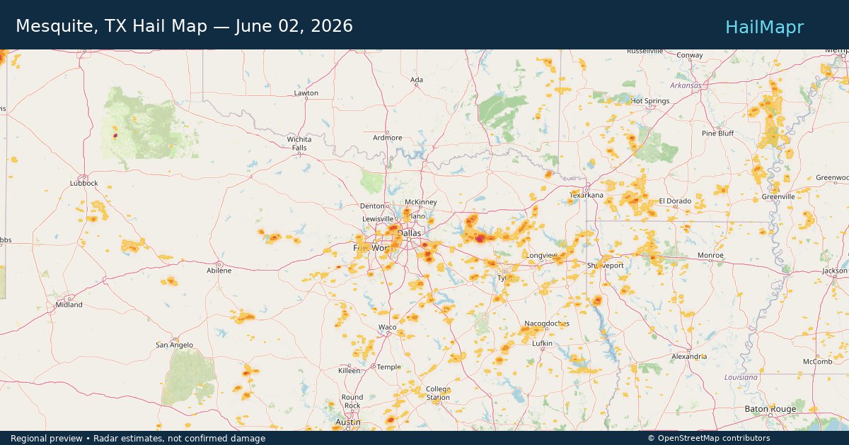
Mesquite, TX — June 02, 2026 — regional hail footprint preview
Storm footprint preview

Local hail summary for the Mesquite area: 7.61 square miles of estimated ground-hail footprint; highest mapped band 2+ inches. 0 official hail report(s) within the summary area. Exposure estimates are not confirmed property damage. Open the map to explore the full coverage included in your access. Statistics cover the mapped hail footprint inside the Census boundary of Mesquite, TX, not the entire region. The place had 150,108 residents in the 2020 Census. A boundary intersection does not mean the whole community was hit. Estimated housing exposure: 1,035 units in 1-inch-or-larger bands, including 259 in 1.5-inch-or-larger bands and 0 in 2-inch-or-larger bands.

Affected states: Mesquite area, TX
2+ inRadar size estimate 4,460Population Affected 1,330Houses Affected HailHazards FreeAccount signup
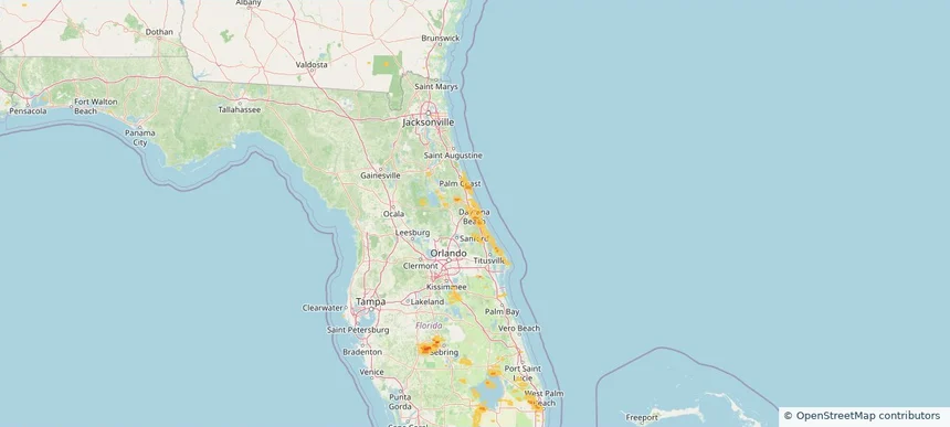
Port Orange, FL — June 02, 2026 — regional hail footprint preview
Storm footprint preview

Local hail summary for the Port Orange area: 2.89 square miles of estimated ground-hail footprint; highest mapped band 1+ inches. 0 official hail report(s) within the summary area. Exposure estimates are not confirmed property damage. Open the map to explore the full coverage included in your access. Statistics cover the mapped hail footprint inside the Census boundary of Port Orange, FL, not the entire region. The place had 62,596 residents in the 2020 Census. A boundary intersection does not mean the whole community was hit. Estimated housing exposure: 651 units in 1-inch-or-larger bands, including 0 in 1.5-inch-or-larger bands and 0 in 2-inch-or-larger bands.

Affected states: Port Orange area, FL
1+ inRadar size estimate 1,711Population Affected 938Houses Affected HailHazards FreeAccount signup
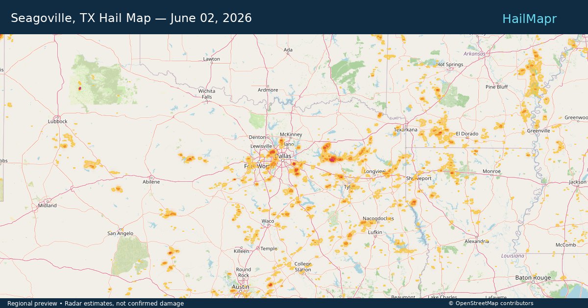
Seagoville, TX — June 02, 2026 — regional hail footprint preview
Storm footprint preview

Local hail summary for the Seagoville area: 0.93 square miles of estimated ground-hail footprint; highest mapped band 1.5+ inches. 0 official hail report(s) within the summary area. Exposure estimates are not confirmed property damage. Open the map to explore the full coverage included in your access. Statistics cover the mapped hail footprint inside the Census boundary of Seagoville, TX, not the entire region. The place had 18,446 residents in the 2020 Census. A boundary intersection does not mean the whole community was hit. Estimated housing exposure: 472 units in 1-inch-or-larger bands, including 386 in 1.5-inch-or-larger bands and 0 in 2-inch-or-larger bands.

Affected states: Seagoville area, TX
1.5+ inRadar size estimate 1,769Population Affected 474Houses Affected HailHazards FreeAccount signup
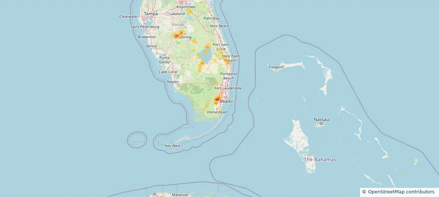
Tamiami, FL — June 02, 2026 — regional hail footprint preview
Storm footprint preview

Local hail summary for the Tamiami area: 4.22 square miles of estimated ground-hail footprint; highest mapped band 1+ inches. 0 official hail report(s) within the summary area. Exposure estimates are not confirmed property damage. Open the map to explore the full coverage included in your access. Statistics cover the mapped hail footprint inside the Census boundary of Tamiami, FL, not the entire region. The place had 54,212 residents in the 2020 Census. A boundary intersection does not mean the whole community was hit. Estimated housing exposure: 8,870 units in 1-inch-or-larger bands, including 0 in 1.5-inch-or-larger bands and 0 in 2-inch-or-larger bands.

Affected states: Tamiami area, FL
1+ inRadar size estimate 29,488Population Affected 9,307Houses Affected HailHazards FreeAccount signup
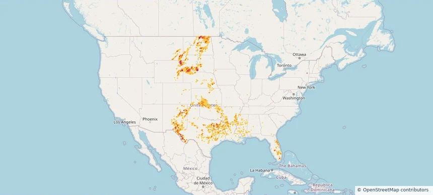
Nationwide Daily Hail, Wind & Tornado Map - June 2, 2026 — regional hail footprint preview
Storm footprint preview
Jun 1, 2026 10:00 PM to Jun 3, 2026 1:59 AM CST

Nationwide Daily Hail, Wind & Tornado Map - June 2, 2026

Hail as large as 3.50 inches was reported near Mayhill, NM. Wind up to 92 mph was reported near 1 mile southeast of Artas, SD. 3 tornadoes were reported, including one near 12 miles north-northwest of Horse Creek, WY. The storm had 19 official hail reports.

Affected states: National, AL, AR, CO, FL, GA, IA, KS, LA, MS, MT, NE, NM, NY, ND, OK, SC, SD, TN, TX, WV, WY
3.34 inRadar size estimate 2,054,981Population Affected 803,542Houses Affected Hail · Wind · TornadoHazards FreeAccount signup
Aurora, CO — June 01, 2026 — regional hail footprint preview
Storm footprint preview

Local hail summary for the Aurora area: 90.54 square miles of estimated ground-hail footprint; highest mapped band 2.5+ inches. 0 official hail report(s) within the summary area. Exposure estimates are not confirmed property damage. Open the map to explore the full coverage included in your access. Statistics cover the mapped hail footprint inside the Census boundary of Aurora, CO, not the entire region. The place had 386,261 residents in the 2020 Census. A boundary intersection does not mean the whole community was hit. Estimated housing exposure: 28,683 units in 1-inch-or-larger bands, including 9,517 in 1.5-inch-or-larger bands and 706 in 2-inch-or-larger bands.

Affected states: Aurora area, CO
2.5+ inRadar size estimate 155,201Population Affected 56,983Houses Affected HailHazards FreeAccount signup
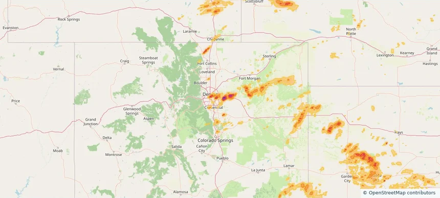
Batesville, AR — June 01, 2026 — regional hail footprint preview
Storm footprint preview

Local hail summary for the Batesville area: 8.11 square miles of estimated ground-hail footprint; highest mapped band 1+ inches. 0 official hail report(s) within the summary area. Exposure estimates are not confirmed property damage. Open the map to explore the full coverage included in your access. Statistics cover the mapped hail footprint inside the Census boundary of Batesville, AR, not the entire region. The place had 11,191 residents in the 2020 Census. A boundary intersection does not mean the whole community was hit. Estimated housing exposure: 1,563 units in 1-inch-or-larger bands, including 0 in 1.5-inch-or-larger bands and 0 in 2-inch-or-larger bands.

Affected states: Batesville area, AR
1+ inRadar size estimate 6,258Population Affected 2,722Houses Affected HailHazards FreeAccount signup
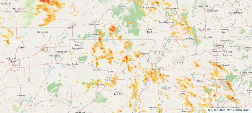
Cheyenne, WY — June 01, 2026 — regional hail footprint preview
Storm footprint preview

Local hail summary for the Cheyenne area: 13.49 square miles of estimated ground-hail footprint; highest mapped band 1+ inches. 0 official hail report(s) within the summary area. Exposure estimates are not confirmed property damage. Open the map to explore the full coverage included in your access. Statistics cover the mapped hail footprint inside the Census boundary of Cheyenne, WY, not the entire region. The place had 65,132 residents in the 2020 Census. A boundary intersection does not mean the whole community was hit. Estimated housing exposure: 200 units in 1-inch-or-larger bands, including 0 in 1.5-inch-or-larger bands and 0 in 2-inch-or-larger bands.

Affected states: Cheyenne area, WY
1+ inRadar size estimate 34,646Population Affected 15,336Houses Affected HailHazards FreeAccount signup
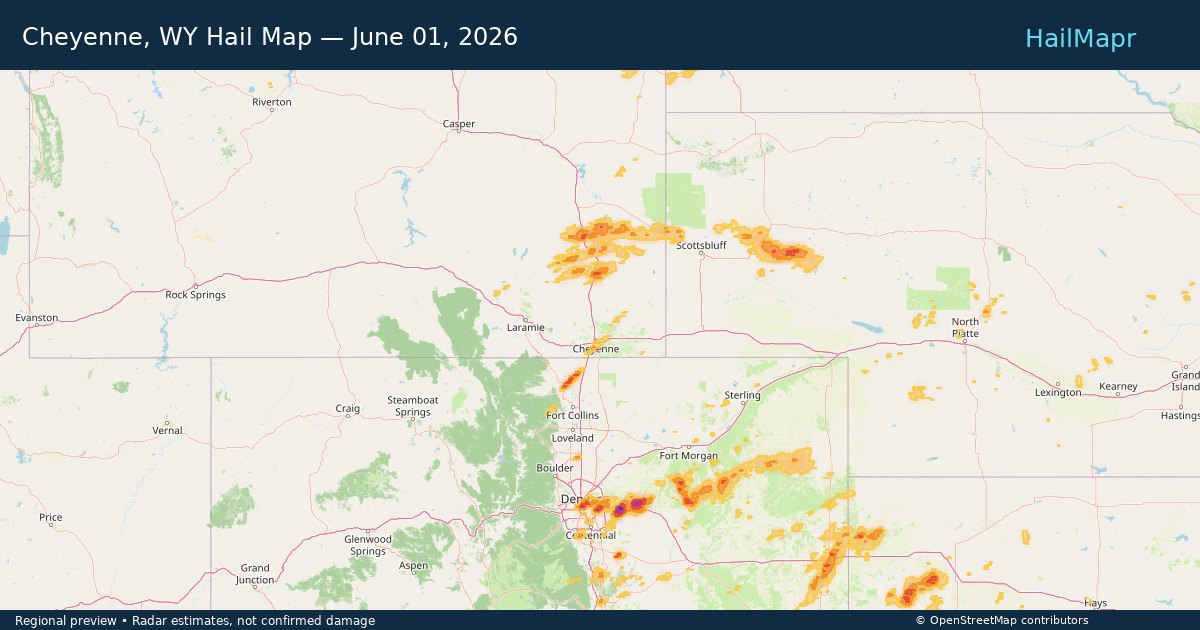
Colorado Springs, CO — June 01, 2026 — regional hail footprint preview
Storm footprint preview

Local hail summary for the Colorado Springs area: 7.71 square miles of estimated ground-hail footprint; highest mapped band 1+ inches. 1 official hail report(s) within the summary area. Exposure estimates are not confirmed property damage. Open the map to explore the full coverage included in your access. Statistics cover the mapped hail footprint inside the Census boundary of Colorado Springs, CO, not the entire region. The place had 478,961 residents in the 2020 Census. A boundary intersection does not mean the whole community was hit. Estimated housing exposure: 6,905 units in 1-inch-or-larger bands, including 0 in 1.5-inch-or-larger bands and 0 in 2-inch-or-larger bands.

Affected states: Colorado Springs area, CO
1+ inRadar size estimate 32,849Population Affected 11,285Houses Affected HailHazards FreeAccount signup
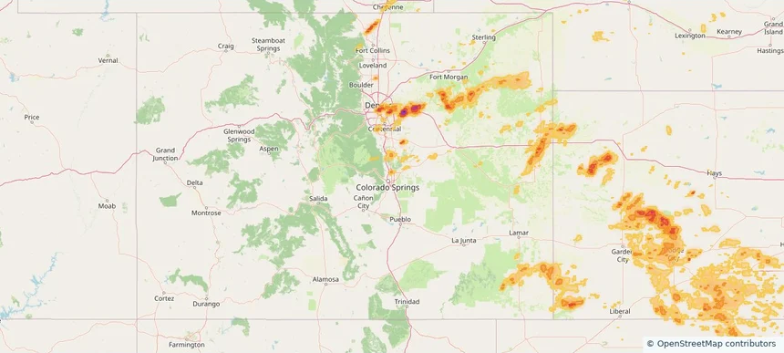
Commerce City, CO — June 01, 2026 — regional hail footprint preview
Storm footprint preview

Local hail summary for the Commerce City area: 9.36 square miles of estimated ground-hail footprint; highest mapped band 1.5+ inches. 0 official hail report(s) within the summary area. Exposure estimates are not confirmed property damage. Open the map to explore the full coverage included in your access. Statistics cover the mapped hail footprint inside the Census boundary of Commerce City, CO, not the entire region. The place had 62,418 residents in the 2020 Census. A boundary intersection does not mean the whole community was hit. Estimated housing exposure: 4,677 units in 1-inch-or-larger bands, including 591 in 1.5-inch-or-larger bands and 0 in 2-inch-or-larger bands.

Affected states: Commerce City area, CO
1.5+ inRadar size estimate 21,795Population Affected 6,819Houses Affected HailHazards FreeAccount signup
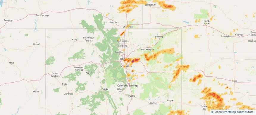
Denver, CO — June 01, 2026 — regional hail footprint preview
Storm footprint preview

Local hail summary for the Denver area: 63.53 square miles of estimated ground-hail footprint; highest mapped band 2+ inches. 3 official hail report(s) within the summary area. Exposure estimates are not confirmed property damage. Open the map to explore the full coverage included in your access. Statistics cover the mapped hail footprint inside the Census boundary of Denver, CO, not the entire region. The place had 715,522 residents in the 2020 Census. A boundary intersection does not mean the whole community was hit. Estimated housing exposure: 122,685 units in 1-inch-or-larger bands, including 42,417 in 1.5-inch-or-larger bands and 1,811 in 2-inch-or-larger bands.

Affected states: Denver area, CO
2+ inRadar size estimate 364,537Population Affected 180,480Houses Affected HailHazards FreeAccount signup
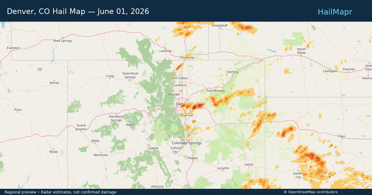
Fulton, MO — June 01, 2026 — regional hail footprint preview
Storm footprint preview

Local hail summary for the Fulton area: 12.47 square miles of estimated ground-hail footprint; highest mapped band 1+ inches. 0 official hail report(s) within the summary area. Exposure estimates are not confirmed property damage. Open the map to explore the full coverage included in your access. Statistics cover the mapped hail footprint inside the Census boundary of Fulton, MO, not the entire region. The place had 12,600 residents in the 2020 Census. A boundary intersection does not mean the whole community was hit. Estimated housing exposure: 4,052 units in 1-inch-or-larger bands, including 0 in 1.5-inch-or-larger bands and 0 in 2-inch-or-larger bands.

Affected states: Fulton area, MO
1+ inRadar size estimate 12,603Population Affected 4,660Houses Affected HailHazards FreeAccount signup
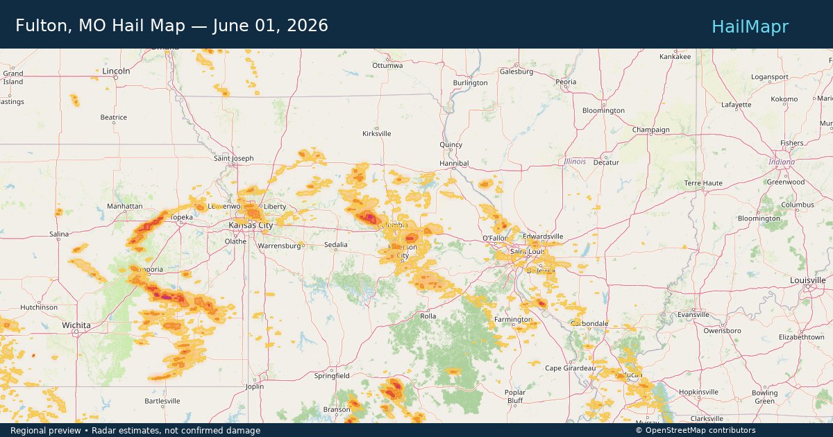
Gadsden, AL — June 01, 2026 — regional hail footprint preview
Storm footprint preview

Local hail summary for the Gadsden area: 14.50 square miles of estimated ground-hail footprint; highest mapped band 1.5+ inches. 0 official hail report(s) within the summary area. Exposure estimates are not confirmed property damage. Open the map to explore the full coverage included in your access. Statistics cover the mapped hail footprint inside the Census boundary of Gadsden, AL, not the entire region. The place had 33,945 residents in the 2020 Census. A boundary intersection does not mean the whole community was hit. Estimated housing exposure: 6,822 units in 1-inch-or-larger bands, including 2,370 in 1.5-inch-or-larger bands and 0 in 2-inch-or-larger bands.

Affected states: Gadsden area, AL
1.5+ inRadar size estimate 15,410Population Affected 7,445Houses Affected HailHazards FreeAccount signup
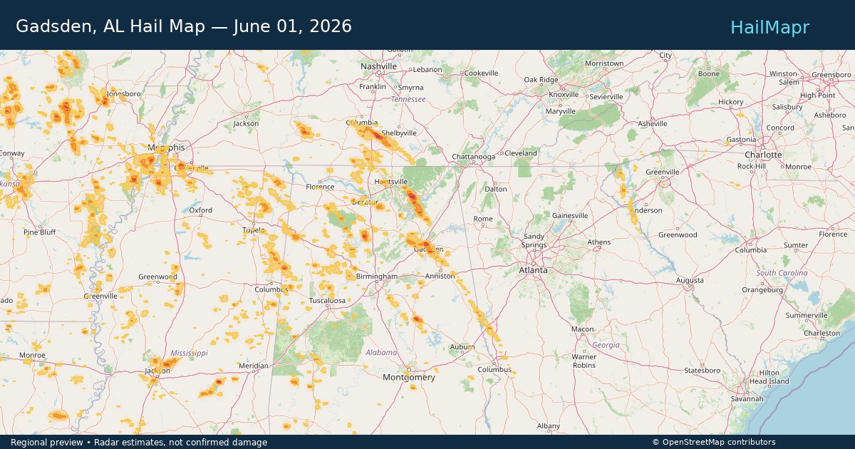
Gladstone, MO — June 01, 2026 — regional hail footprint preview
Storm footprint preview

Local hail summary for the Gladstone area: 7.77 square miles of estimated ground-hail footprint; highest mapped band 1+ inches. 0 official hail report(s) within the summary area. Exposure estimates are not confirmed property damage. Open the map to explore the full coverage included in your access. Statistics cover the mapped hail footprint inside the Census boundary of Gladstone, MO, not the entire region. The place had 27,063 residents in the 2020 Census. A boundary intersection does not mean the whole community was hit. Estimated housing exposure: 1,805 units in 1-inch-or-larger bands, including 0 in 1.5-inch-or-larger bands and 0 in 2-inch-or-larger bands.

Affected states: Gladstone area, MO
1+ inRadar size estimate 26,746Population Affected 12,354Houses Affected HailHazards FreeAccount signup
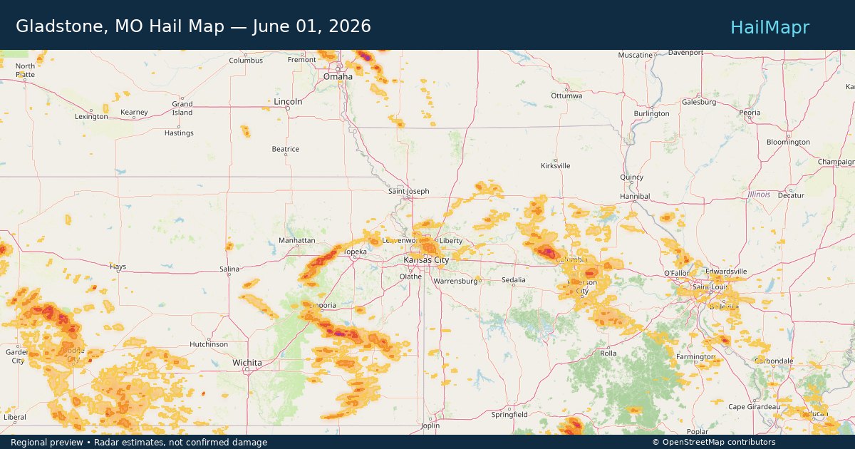
Greenwood Village, CO — June 01, 2026 — regional hail footprint preview
Storm footprint preview

Local hail summary for the Greenwood Village area: 2.48 square miles of estimated ground-hail footprint; highest mapped band 1+ inches. 0 official hail report(s) within the summary area. Exposure estimates are not confirmed property damage. Open the map to explore the full coverage included in your access. Statistics cover the mapped hail footprint inside the Census boundary of Greenwood Village, CO, not the entire region. The place had 15,691 residents in the 2020 Census. A boundary intersection does not mean the whole community was hit. Estimated housing exposure: 1,981 units in 1-inch-or-larger bands, including 0 in 1.5-inch-or-larger bands and 0 in 2-inch-or-larger bands.

Affected states: Greenwood Village area, CO
1+ inRadar size estimate 8,346Population Affected 3,841Houses Affected HailHazards FreeAccount signup
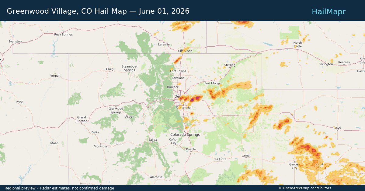
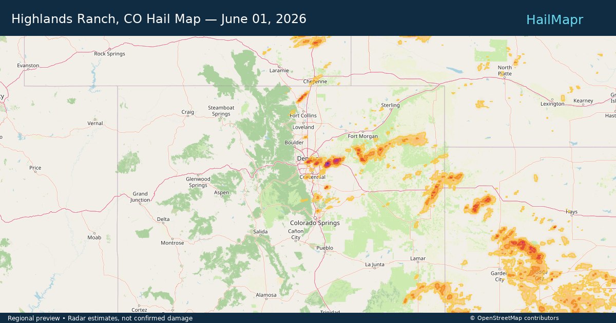
Highlands Ranch, CO — June 01, 2026 — regional hail footprint preview
Storm footprint preview

Local hail summary for the Highlands Ranch area: 12.50 square miles of estimated ground-hail footprint; highest mapped band 1+ inches. 0 official hail report(s) within the summary area. Exposure estimates are not confirmed property damage. Open the map to explore the full coverage included in your access. Statistics cover the mapped hail footprint inside the Census boundary of Highlands Ranch, CO, not the entire region. The place had 103,444 residents in the 2020 Census. A boundary intersection does not mean the whole community was hit. Estimated housing exposure: 2,838 units in 1-inch-or-larger bands, including 0 in 1.5-inch-or-larger bands and 0 in 2-inch-or-larger bands.

Affected states: Highlands Ranch area, CO
1+ inRadar size estimate 54,796Population Affected 19,275Houses Affected HailHazards FreeAccount signup
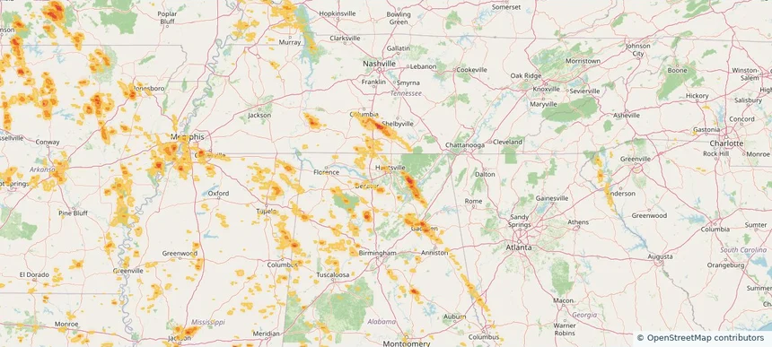
Huntsville, AL — June 01, 2026 — regional hail footprint preview
Storm footprint preview

Local hail summary for the Huntsville area: 1.93 square miles of estimated ground-hail footprint; highest mapped band 1+ inches. 0 official hail report(s) within the summary area. Exposure estimates are not confirmed property damage. Open the map to explore the full coverage included in your access. Statistics cover the mapped hail footprint inside the Census boundary of Huntsville, AL, not the entire region. The place had 215,006 residents in the 2020 Census. A boundary intersection does not mean the whole community was hit. Estimated housing exposure: 248 units in 1-inch-or-larger bands, including 0 in 1.5-inch-or-larger bands and 0 in 2-inch-or-larger bands.

Affected states: Huntsville area, AL
1+ inRadar size estimate 2,288Population Affected 1,410Houses Affected HailHazards FreeAccount signup
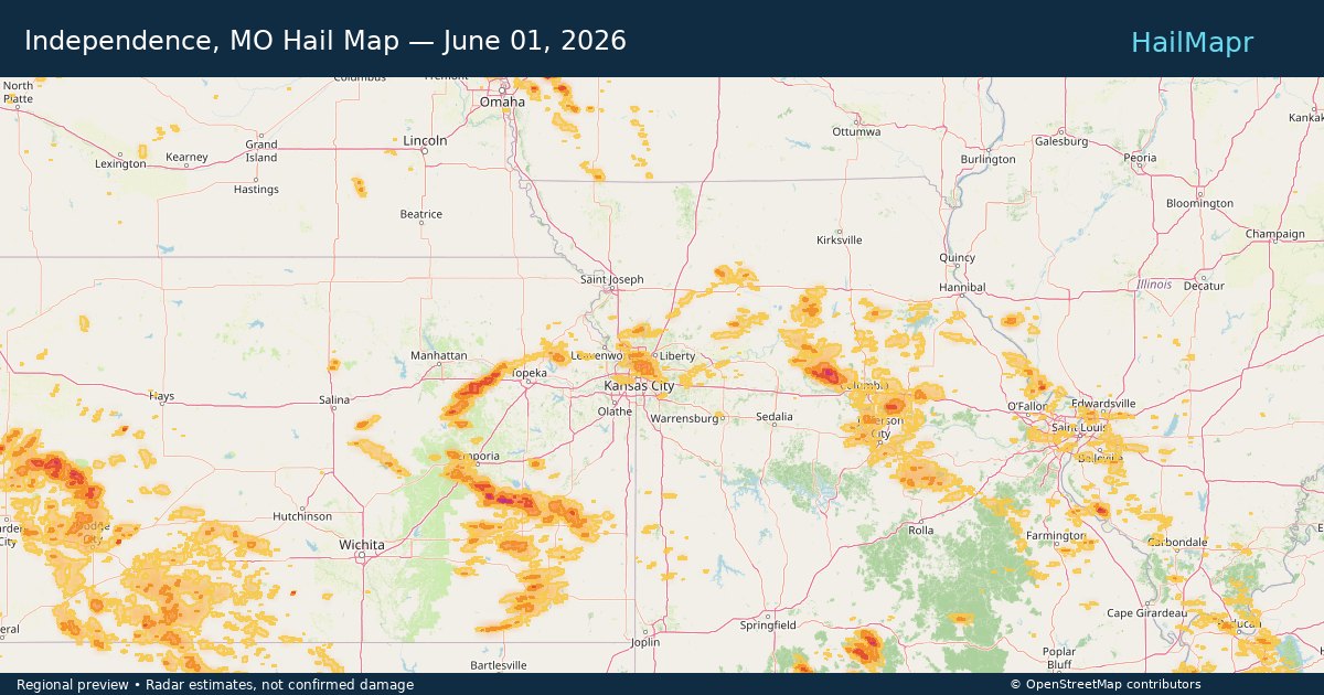
Independence, MO — June 01, 2026 — regional hail footprint preview
Storm footprint preview

Local hail summary for the Independence area: 9.47 square miles of estimated ground-hail footprint; highest mapped band 1+ inches. 0 official hail report(s) within the summary area. Exposure estimates are not confirmed property damage. Open the map to explore the full coverage included in your access. Statistics cover the mapped hail footprint inside the Census boundary of Independence, MO, not the entire region. The place had 123,011 residents in the 2020 Census. A boundary intersection does not mean the whole community was hit. Estimated housing exposure: 1,335 units in 1-inch-or-larger bands, including 0 in 1.5-inch-or-larger bands and 0 in 2-inch-or-larger bands.

Affected states: Independence area, MO
1+ inRadar size estimate 29,799Population Affected 14,242Houses Affected HailHazards FreeAccount signup
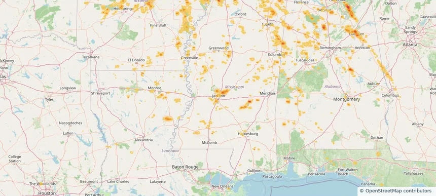
Jackson, MS — June 01, 2026 — regional hail footprint preview
Storm footprint preview

Local hail summary for the Jackson area: 3.41 square miles of estimated ground-hail footprint; highest mapped band 1+ inches. 0 official hail report(s) within the summary area. Exposure estimates are not confirmed property damage. Open the map to explore the full coverage included in your access. Statistics cover the mapped hail footprint inside the Census boundary of Jackson, MS, not the entire region. The place had 153,701 residents in the 2020 Census. A boundary intersection does not mean the whole community was hit. Estimated housing exposure: 1,332 units in 1-inch-or-larger bands, including 0 in 1.5-inch-or-larger bands and 0 in 2-inch-or-larger bands.

Affected states: Jackson area, MS
1+ inRadar size estimate 3,821Population Affected 1,771Houses Affected HailHazards FreeAccount signup
Page 40 of 99
‹ 1 39 40 41 99 ›

Frequently asked questions

Can I search hail maps by coverage area?

Yes. The storm library supports coverage-area filtering so you can find hail maps and hail swaths in a target service area.

What kinds of storms appear in the HailMapr library?

The library focuses on published hail events, including ready storm maps and live storms once hail has been detected and a public swath is available.

Are HailMapr storm pages useful for roofers and adjusters?

Yes. They are built to help roofers, adjusters, restoration teams, and property owners review storm footprints before purchase.