Storm library

Browse live and recent hail maps.

Review storm footprints, hail swaths, reports, and replay access. Create a free account to save your setup and move into map access when a storm matters.

Search filters
Clear
Newest storms first by default.
Don't see your storm? Request a qualifying storm map and we'll email you when it is ready.
Showing 913-936 of 2371 storms · Page 39 of 99
‹ 1 38 39 40 99 ›
Request a storm map

Tell us about the storm and we'll build the map. Once it's published you'll get an email and can purchase it from the library — just like any other event.

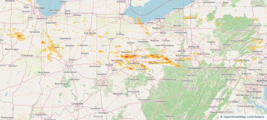
Columbus, OH — June 06, 2026 — regional hail footprint preview
Storm footprint preview

Local hail summary for the Columbus area: 13.28 square miles of estimated ground-hail footprint; highest mapped band 1.5+ inches. 0 official hail report(s) within the summary area. Exposure estimates are not confirmed property damage. Open the map to explore the full coverage included in your access. Statistics cover the mapped hail footprint inside the Census boundary of Columbus, OH, not the entire region. The place had 905,748 residents in the 2020 Census. A boundary intersection does not mean the whole community was hit. Estimated housing exposure: 4,043 units in 1-inch-or-larger bands, including 0 in 1.5-inch-or-larger bands and 0 in 2-inch-or-larger bands.

Affected states: Columbus area, OH
1.5+ inRadar size estimate 66,023Population Affected 29,360Houses Affected HailHazards FreeAccount signup
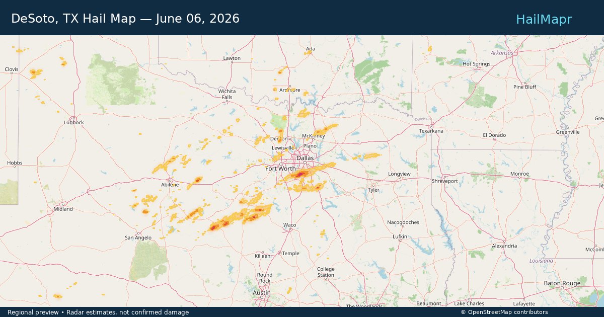
DeSoto, TX — June 06, 2026 — regional hail footprint preview
Storm footprint preview

Local hail summary for the DeSoto area: 19.15 square miles of estimated ground-hail footprint; highest mapped band 2+ inches. 1 official hail report(s) within the summary area. Exposure estimates are not confirmed property damage. Open the map to explore the full coverage included in your access. Statistics cover the mapped hail footprint inside the Census boundary of DeSoto, TX, not the entire region. The place had 56,145 residents in the 2020 Census. A boundary intersection does not mean the whole community was hit. Estimated housing exposure: 16,689 units in 1-inch-or-larger bands, including 11,451 in 1.5-inch-or-larger bands and 2,637 in 2-inch-or-larger bands.

Affected states: DeSoto area, TX
2+ inRadar size estimate 52,378Population Affected 19,350Houses Affected HailHazards FreeAccount signup
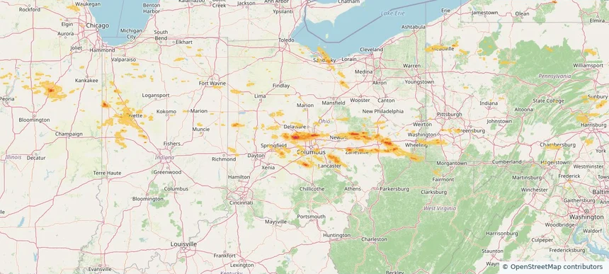
Dublin, OH — June 06, 2026 — regional hail footprint preview
Storm footprint preview

Local hail summary for the Dublin area: 21.40 square miles of estimated ground-hail footprint; highest mapped band 1+ inches. 0 official hail report(s) within the summary area. Exposure estimates are not confirmed property damage. Open the map to explore the full coverage included in your access. Statistics cover the mapped hail footprint inside the Census boundary of Dublin, OH, not the entire region. The place had 49,328 residents in the 2020 Census. A boundary intersection does not mean the whole community was hit. Estimated housing exposure: 3,611 units in 1-inch-or-larger bands, including 0 in 1.5-inch-or-larger bands and 0 in 2-inch-or-larger bands.

Affected states: Dublin area, OH
1+ inRadar size estimate 44,476Population Affected 16,319Houses Affected HailHazards FreeAccount signup
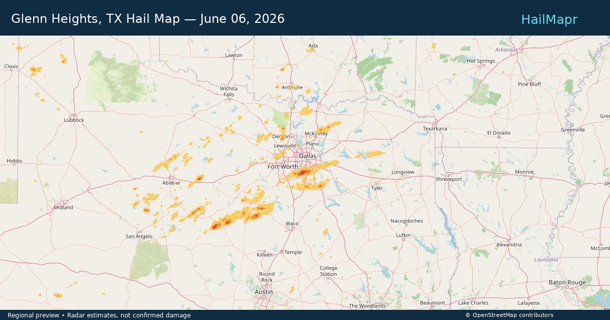
Glenn Heights, TX — June 06, 2026 — regional hail footprint preview
Storm footprint preview

Local hail summary for the Glenn Heights area: 6.08 square miles of estimated ground-hail footprint; highest mapped band 2+ inches. 0 official hail report(s) within the summary area. Exposure estimates are not confirmed property damage. Open the map to explore the full coverage included in your access. Statistics cover the mapped hail footprint inside the Census boundary of Glenn Heights, TX, not the entire region. The place had 15,819 residents in the 2020 Census. A boundary intersection does not mean the whole community was hit. Estimated housing exposure: 4,116 units in 1-inch-or-larger bands, including 1,998 in 1.5-inch-or-larger bands and 773 in 2-inch-or-larger bands.

Affected states: Glenn Heights area, TX
2+ inRadar size estimate 12,586Population Affected 4,169Houses Affected HailHazards FreeAccount signup
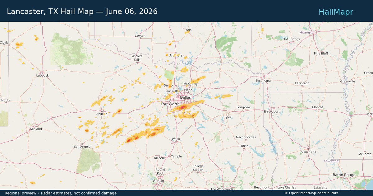
Lancaster, TX — June 06, 2026 — regional hail footprint preview
Storm footprint preview

Local hail summary for the Lancaster area: 26.73 square miles of estimated ground-hail footprint; highest mapped band 1.5+ inches. 0 official hail report(s) within the summary area. Exposure estimates are not confirmed property damage. Open the map to explore the full coverage included in your access. Statistics cover the mapped hail footprint inside the Census boundary of Lancaster, TX, not the entire region. The place had 41,275 residents in the 2020 Census. A boundary intersection does not mean the whole community was hit. Estimated housing exposure: 8,933 units in 1-inch-or-larger bands, including 1,469 in 1.5-inch-or-larger bands and 0 in 2-inch-or-larger bands.

Affected states: Lancaster area, TX
1.5+ inRadar size estimate 36,192Population Affected 13,016Houses Affected HailHazards FreeAccount signup
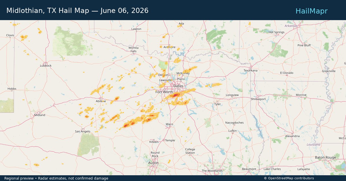
Midlothian, TX — June 06, 2026 — regional hail footprint preview
Storm footprint preview

Local hail summary for the Midlothian area: 10.82 square miles of estimated ground-hail footprint; highest mapped band 1.5+ inches. 0 official hail report(s) within the summary area. Exposure estimates are not confirmed property damage. Open the map to explore the full coverage included in your access. Statistics cover the mapped hail footprint inside the Census boundary of Midlothian, TX, not the entire region. The place had 35,125 residents in the 2020 Census. A boundary intersection does not mean the whole community was hit. Estimated housing exposure: 764 units in 1-inch-or-larger bands, including 179 in 1.5-inch-or-larger bands and 0 in 2-inch-or-larger bands.

Affected states: Midlothian area, TX
1.5+ inRadar size estimate 2,322Population Affected 931Houses Affected HailHazards FreeAccount signup
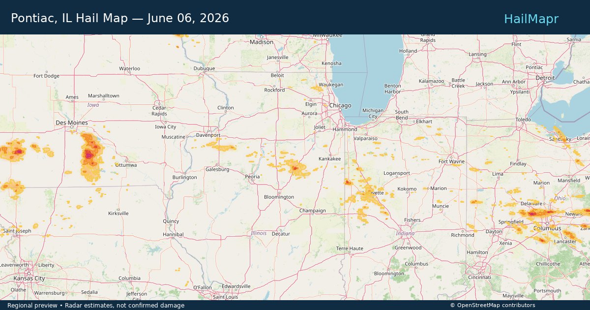
Pontiac, IL — June 06, 2026 — regional hail footprint preview
Storm footprint preview

Local hail summary for the Pontiac area: 4.31 square miles of estimated ground-hail footprint; highest mapped band 1.5+ inches. 0 official hail report(s) within the summary area. Exposure estimates are not confirmed property damage. Open the map to explore the full coverage included in your access. Statistics cover the mapped hail footprint inside the Census boundary of Pontiac, IL, not the entire region. The place had 11,150 residents in the 2020 Census. A boundary intersection does not mean the whole community was hit. Estimated housing exposure: 2,974 units in 1-inch-or-larger bands, including 16 in 1.5-inch-or-larger bands and 0 in 2-inch-or-larger bands.

Affected states: Pontiac area, IL
1.5+ inRadar size estimate 9,574Population Affected 4,176Houses Affected HailHazards FreeAccount signup
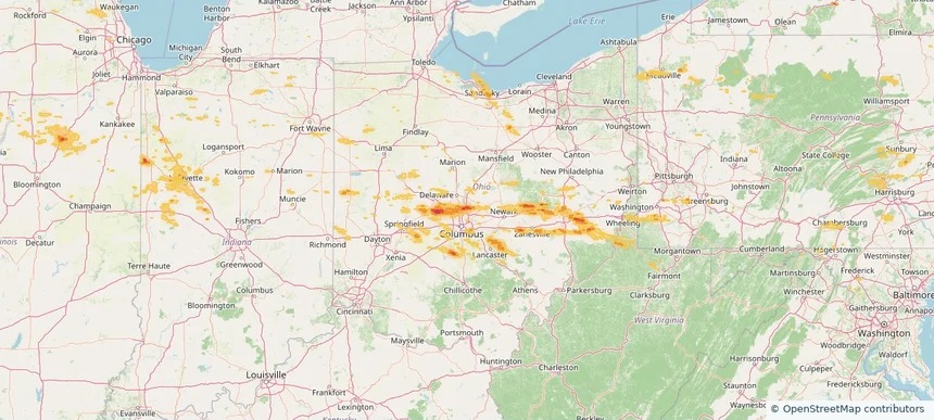
Westerville, OH — June 06, 2026 — regional hail footprint preview
Storm footprint preview

Local hail summary for the Westerville area: 3.89 square miles of estimated ground-hail footprint; highest mapped band 1.5+ inches. 0 official hail report(s) within the summary area. Exposure estimates are not confirmed property damage. Open the map to explore the full coverage included in your access. Statistics cover the mapped hail footprint inside the Census boundary of Westerville, OH, not the entire region. The place had 39,190 residents in the 2020 Census. A boundary intersection does not mean the whole community was hit. Estimated housing exposure: 2,508 units in 1-inch-or-larger bands, including 351 in 1.5-inch-or-larger bands and 0 in 2-inch-or-larger bands.

Affected states: Westerville area, OH
1.5+ inRadar size estimate 9,488Population Affected 3,897Houses Affected HailHazards FreeAccount signup
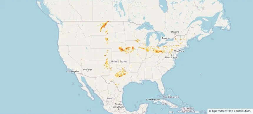
Nationwide Daily Hail, Wind & Tornado Map - June 6, 2026 — regional hail footprint preview
Storm footprint preview
Jun 5, 2026 10:00 PM to Jun 7, 2026 1:45 AM CST

Nationwide Daily Hail, Wind & Tornado Map - June 6, 2026

Hail as large as 2.00 inches was reported near Pleasantville, IA. Wind up to 85 mph was reported near 1 mile north-northwest of Scenery Hill, PA. 8 tornadoes were reported, including one near 2 miles west-southwest of Beallsville, PA. The storm had 7 official hail reports.

Affected states: National, AR, CO, CT, DE, IL, IN, IA, KS, MD, MA, MI, MN, MO, MT, NE, NH, NJ, NM, NY, ND, OH, OK, PA, SD, TX, UT, VT, VA, WV, WI, WY
3.0 inRadar size estimate 1,298,330Population Affected 521,023Houses Affected Hail · Wind · TornadoHazards FreeAccount signup
Bellevue, NE — June 05, 2026 — regional hail footprint preview
Storm footprint preview

Local hail summary for the Bellevue area: 4.35 square miles of estimated ground-hail footprint; highest mapped band 1+ inches. 0 official hail report(s) within the summary area. Exposure estimates are not confirmed property damage. Open the map to explore the full coverage included in your access. Statistics cover the mapped hail footprint inside the Census boundary of Bellevue, NE, not the entire region. The place had 64,176 residents in the 2020 Census. A boundary intersection does not mean the whole community was hit. Estimated housing exposure: 934 units in 1-inch-or-larger bands, including 0 in 1.5-inch-or-larger bands and 0 in 2-inch-or-larger bands.

Affected states: Bellevue area, NE
1+ inRadar size estimate 17,635Population Affected 6,769Houses Affected HailHazards FreeAccount signup
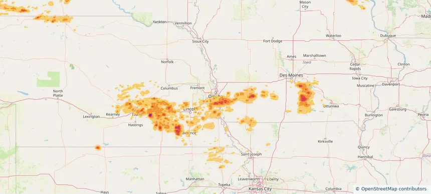
Winona, MN — June 05, 2026 — regional hail footprint preview
Storm footprint preview

Local hail summary for the Winona area: 16.46 square miles of estimated ground-hail footprint; highest mapped band 1.5+ inches. 1 official hail report(s) within the summary area. Exposure estimates are not confirmed property damage. Open the map to explore the full coverage included in your access. Statistics cover the mapped hail footprint inside the Census boundary of Winona, MN, not the entire region. The place had 25,948 residents in the 2020 Census. A boundary intersection does not mean the whole community was hit. Estimated housing exposure: 7,981 units in 1-inch-or-larger bands, including 0 in 1.5-inch-or-larger bands and 0 in 2-inch-or-larger bands.

Affected states: Winona area, MN
1.5+ inRadar size estimate 19,462Population Affected 9,050Houses Affected HailHazards FreeAccount signup
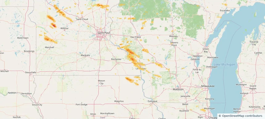
Nationwide Daily Hail, Wind & Tornado Map - June 5, 2026 — regional hail footprint preview
Storm footprint preview
Jun 4, 2026 10:00 PM to Jun 6, 2026 1:45 AM CST

Nationwide Daily Hail, Wind & Tornado Map - June 5, 2026

Hail as large as 2.00 inches was reported near 2 miles northwest of Union, NE. Wind up to 83 mph was reported near 7 miles east-southeast of Rosebud, SD. A tornado was reported near 7 miles west-northwest of Buckeye, NM. The storm had 13 official hail reports.

Affected states: National, CO, IL, IA, KS, MI, MN, MO, NE, NM, OK, SD, TX, WI
3.0 inRadar size estimate 368,816Population Affected 159,194Houses Affected Hail · Wind · TornadoHazards FreeAccount signup
Nationwide Daily Hail, Wind & Tornado Map - June 4, 2026 — regional hail footprint preview
Storm footprint preview
Jun 3, 2026 10:00 PM to Jun 5, 2026 1:45 AM CST

Nationwide Daily Hail, Wind & Tornado Map - June 4, 2026

Hail as large as 2.75 inches was reported near 4 miles east-northeast of Yale, SD. Wind up to 99 mph was reported near 12 miles east-southeast of Sunshine Bible A, SD. 3 tornadoes were reported, including one near 2 miles south of Cawker City, KS. The storm had 11 official hail reports.

Affected states: National, IA, KS, MN, MO, MT, NE, NM, OK, SD, TX, WY
2.5 inRadar size estimate 52,271Population Affected 23,119Houses Affected Hail · Wind · TornadoHazards FreeAccount signup
Nationwide Daily Hail, Wind & Tornado Map - June 3, 2026 — regional hail footprint preview
Storm footprint preview
Jun 2, 2026 10:00 PM to Jun 4, 2026 1:57 AM CST

Nationwide Daily Hail, Wind & Tornado Map - June 3, 2026

Hail as large as 2.50 inches was reported near 7 miles north of Witten, SD. Wind up to 97 mph was reported near Frederick, SD. 3 tornadoes were reported, including one near 5 miles west-northwest of Ideal, SD. The storm had 10 official hail reports.

Affected states: National, AZ, CO, FL, KS, LA, MN, MT, NE, NM, ND, OK, SD, TX, WY
2.4 inRadar size estimate 94,841Population Affected 38,477Houses Affected Hail · Wind · TornadoHazards FreeAccount signup
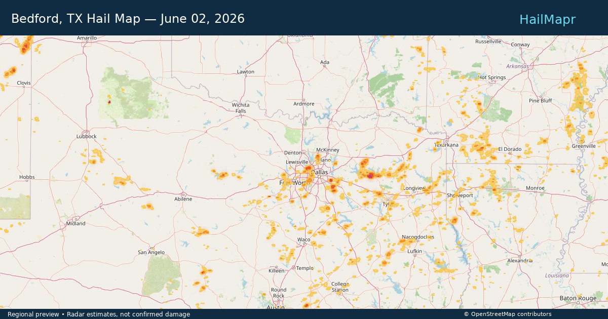
Bedford, TX — June 02, 2026 — regional hail footprint preview
Storm footprint preview

Local hail summary for the Bedford area: 1.99 square miles of estimated ground-hail footprint; highest mapped band 1+ inches. 0 official hail report(s) within the summary area. Exposure estimates are not confirmed property damage. Open the map to explore the full coverage included in your access. Statistics cover the mapped hail footprint inside the Census boundary of Bedford, TX, not the entire region. The place had 49,928 residents in the 2020 Census. A boundary intersection does not mean the whole community was hit. Estimated housing exposure: 2,818 units in 1-inch-or-larger bands, including 0 in 1.5-inch-or-larger bands and 0 in 2-inch-or-larger bands.

Affected states: Bedford area, TX
1+ inRadar size estimate 9,125Population Affected 3,976Houses Affected HailHazards FreeAccount signup
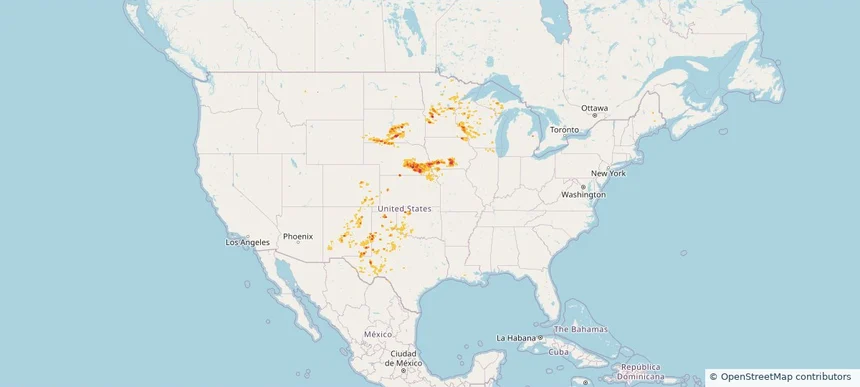
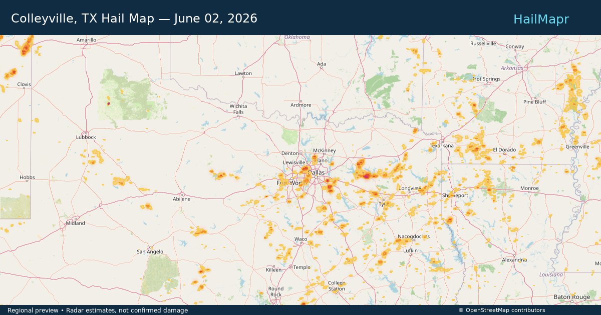
Colleyville, TX — June 02, 2026 — regional hail footprint preview
Storm footprint preview

Local hail summary for the Colleyville area: 1.60 square miles of estimated ground-hail footprint; highest mapped band 1+ inches. 0 official hail report(s) within the summary area. Exposure estimates are not confirmed property damage. Open the map to explore the full coverage included in your access. Statistics cover the mapped hail footprint inside the Census boundary of Colleyville, TX, not the entire region. The place had 26,057 residents in the 2020 Census. A boundary intersection does not mean the whole community was hit. Estimated housing exposure: 438 units in 1-inch-or-larger bands, including 0 in 1.5-inch-or-larger bands and 0 in 2-inch-or-larger bands.

Affected states: Colleyville area, TX
1+ inRadar size estimate 3,456Population Affected 1,245Houses Affected HailHazards FreeAccount signup
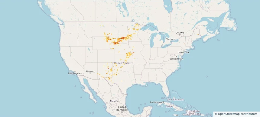
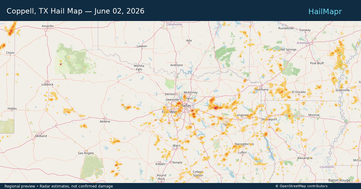
Coppell, TX — June 02, 2026 — regional hail footprint preview
Storm footprint preview

Local hail summary for the Coppell area: 4.48 square miles of estimated ground-hail footprint; highest mapped band 1.5+ inches. 0 official hail report(s) within the summary area. Exposure estimates are not confirmed property damage. Open the map to explore the full coverage included in your access. Statistics cover the mapped hail footprint inside the Census boundary of Coppell, TX, not the entire region. The place had 42,983 residents in the 2020 Census. A boundary intersection does not mean the whole community was hit. Estimated housing exposure: 731 units in 1-inch-or-larger bands, including 57 in 1.5-inch-or-larger bands and 0 in 2-inch-or-larger bands.

Affected states: Coppell area, TX
1.5+ inRadar size estimate 4,224Population Affected 1,487Houses Affected HailHazards FreeAccount signup
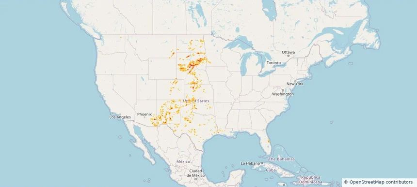
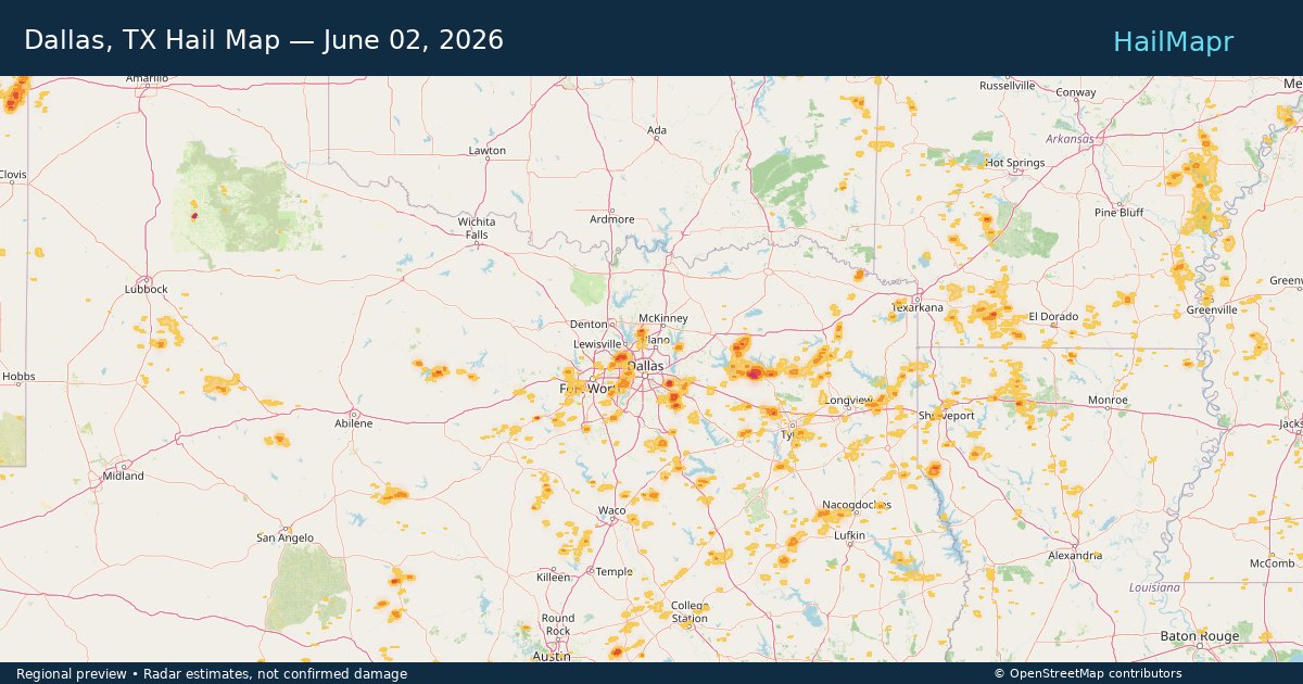
Dallas, TX — June 02, 2026 — regional hail footprint preview
Storm footprint preview

Local hail summary for the Dallas area: 4.03 square miles of estimated ground-hail footprint; highest mapped band 1.5+ inches. 0 official hail report(s) within the summary area. Exposure estimates are not confirmed property damage. Open the map to explore the full coverage included in your access. Statistics cover the mapped hail footprint inside the Census boundary of Dallas, TX, not the entire region. The place had 1,304,379 residents in the 2020 Census. A boundary intersection does not mean the whole community was hit. Estimated housing exposure: 2,902 units in 1-inch-or-larger bands, including 0 in 1.5-inch-or-larger bands and 0 in 2-inch-or-larger bands.

Affected states: Dallas area, TX
1.5+ inRadar size estimate 12,381Population Affected 4,227Houses Affected HailHazards FreeAccount signup
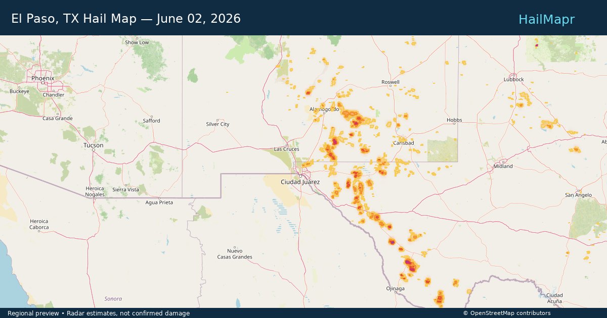
El Paso, TX — June 02, 2026 — regional hail footprint preview
Storm footprint preview

Local hail summary for the El Paso area: 5.54 square miles of estimated ground-hail footprint; highest mapped band 1+ inches. 0 official hail report(s) within the summary area. Exposure estimates are not confirmed property damage. Open the map to explore the full coverage included in your access. Statistics cover the mapped hail footprint inside the Census boundary of El Paso, TX, not the entire region. The place had 678,815 residents in the 2020 Census. A boundary intersection does not mean the whole community was hit. Estimated housing exposure: 969 units in 1-inch-or-larger bands, including 0 in 1.5-inch-or-larger bands and 0 in 2-inch-or-larger bands.

Affected states: El Paso area, TX
1+ inRadar size estimate 16,051Population Affected 5,562Houses Affected HailHazards FreeAccount signup
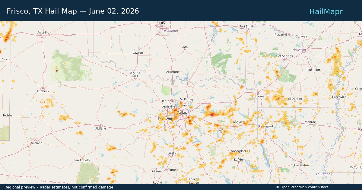
Frisco, TX — June 02, 2026 — regional hail footprint preview
Storm footprint preview

Local hail summary for the Frisco area: 12.32 square miles of estimated ground-hail footprint; highest mapped band 1+ inches. 1 official hail report(s) within the summary area. Exposure estimates are not confirmed property damage. Open the map to explore the full coverage included in your access. Statistics cover the mapped hail footprint inside the Census boundary of Frisco, TX, not the entire region. The place had 200,509 residents in the 2020 Census. A boundary intersection does not mean the whole community was hit. Estimated housing exposure: 10,160 units in 1-inch-or-larger bands, including 0 in 1.5-inch-or-larger bands and 0 in 2-inch-or-larger bands.

Affected states: Frisco area, TX
1+ inRadar size estimate 38,778Population Affected 17,167Houses Affected HailHazards FreeAccount signup
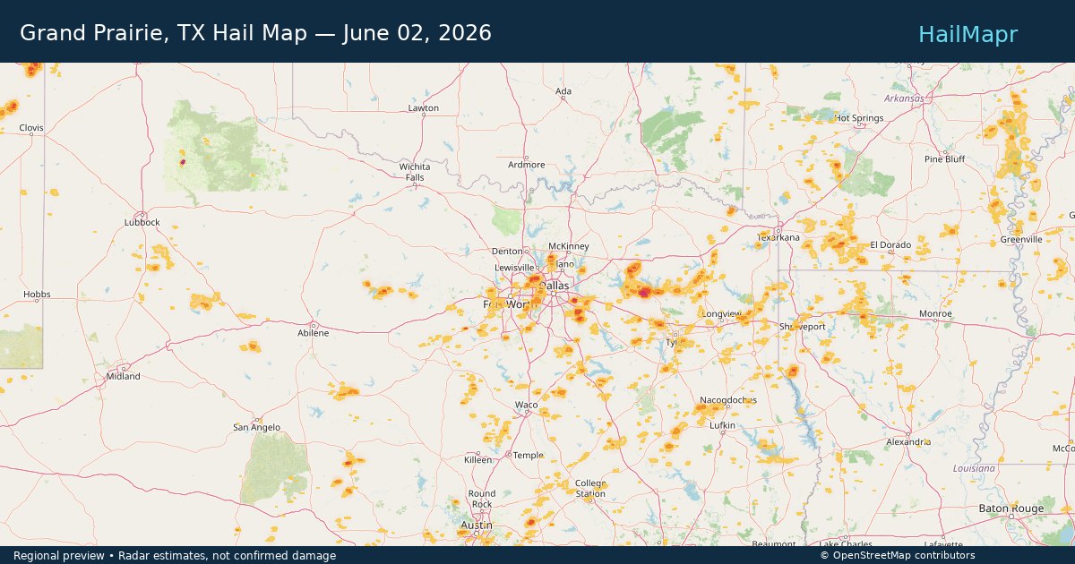
Grand Prairie, TX — June 02, 2026 — regional hail footprint preview
Storm footprint preview

Local hail summary for the Grand Prairie area: 18.61 square miles of estimated ground-hail footprint; highest mapped band 1+ inches. 0 official hail report(s) within the summary area. Exposure estimates are not confirmed property damage. Open the map to explore the full coverage included in your access. Statistics cover the mapped hail footprint inside the Census boundary of Grand Prairie, TX, not the entire region. The place had 196,100 residents in the 2020 Census. A boundary intersection does not mean the whole community was hit. Estimated housing exposure: 14,422 units in 1-inch-or-larger bands, including 0 in 1.5-inch-or-larger bands and 0 in 2-inch-or-larger bands.

Affected states: Grand Prairie area, TX
1+ inRadar size estimate 77,799Population Affected 26,521Houses Affected HailHazards FreeAccount signup
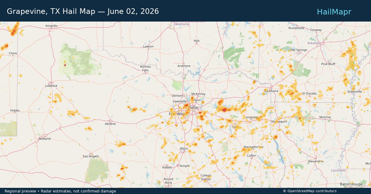
Grapevine, TX — June 02, 2026 — regional hail footprint preview
Storm footprint preview

Local hail summary for the Grapevine area: 20.14 square miles of estimated ground-hail footprint; highest mapped band 1.5+ inches. 0 official hail report(s) within the summary area. Exposure estimates are not confirmed property damage. Open the map to explore the full coverage included in your access. Statistics cover the mapped hail footprint inside the Census boundary of Grapevine, TX, not the entire region. The place had 50,631 residents in the 2020 Census. A boundary intersection does not mean the whole community was hit. Estimated housing exposure: 5,550 units in 1-inch-or-larger bands, including 1,145 in 1.5-inch-or-larger bands and 0 in 2-inch-or-larger bands.

Affected states: Grapevine area, TX
1.5+ inRadar size estimate 16,495Population Affected 7,814Houses Affected HailHazards FreeAccount signup
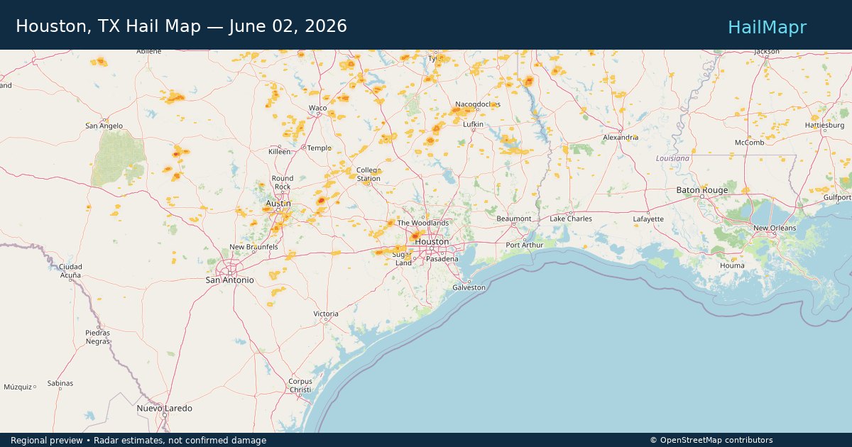
Houston, TX — June 02, 2026 — regional hail footprint preview
Storm footprint preview

Local hail summary for the Houston area: 2.52 square miles of estimated ground-hail footprint; highest mapped band 1.5+ inches. 0 official hail report(s) within the summary area. Exposure estimates are not confirmed property damage. Open the map to explore the full coverage included in your access. Statistics cover the mapped hail footprint inside the Census boundary of Houston, TX, not the entire region. The place had 2,304,580 residents in the 2020 Census. A boundary intersection does not mean the whole community was hit. Estimated housing exposure: 1,570 units in 1-inch-or-larger bands, including 290 in 1.5-inch-or-larger bands and 0 in 2-inch-or-larger bands.

Affected states: Houston area, TX
1.5+ inRadar size estimate 5,079Population Affected 2,488Houses Affected HailHazards FreeAccount signup
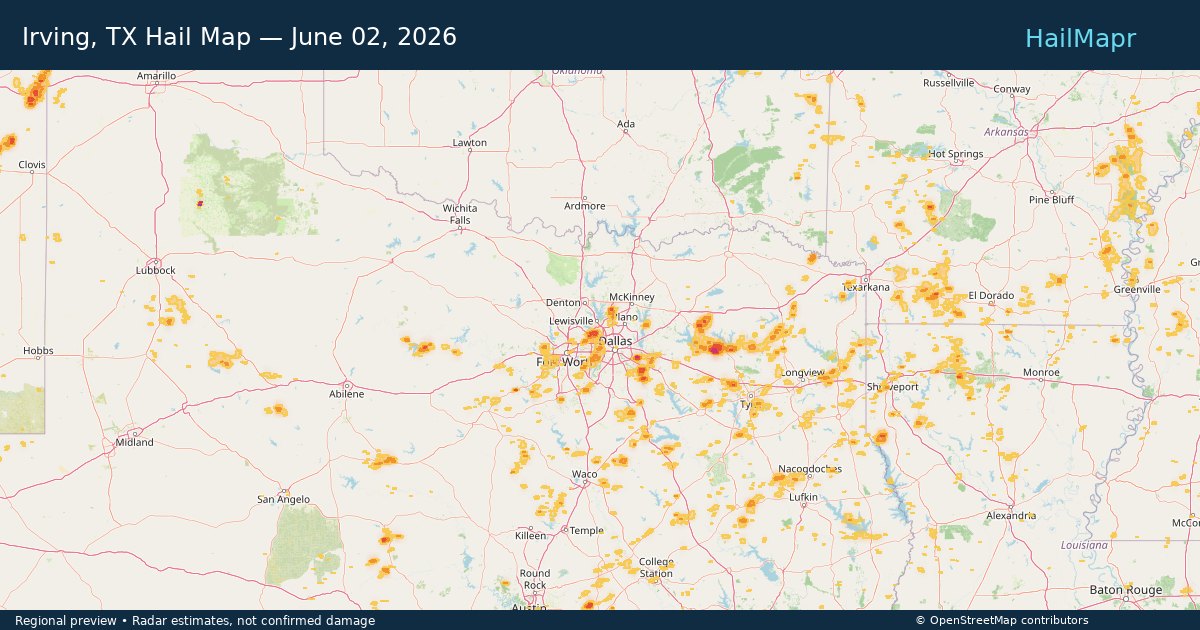
Irving, TX — June 02, 2026 — regional hail footprint preview
Storm footprint preview

Local hail summary for the Irving area: 12.59 square miles of estimated ground-hail footprint; highest mapped band 1.5+ inches. 0 official hail report(s) within the summary area. Exposure estimates are not confirmed property damage. Open the map to explore the full coverage included in your access. Statistics cover the mapped hail footprint inside the Census boundary of Irving, TX, not the entire region. The place had 256,684 residents in the 2020 Census. A boundary intersection does not mean the whole community was hit. Estimated housing exposure: 6,429 units in 1-inch-or-larger bands, including 6 in 1.5-inch-or-larger bands and 0 in 2-inch-or-larger bands.

Affected states: Irving area, TX
1.5+ inRadar size estimate 33,935Population Affected 10,672Houses Affected HailHazards FreeAccount signup
Page 39 of 99
‹ 1 38 39 40 99 ›

Frequently asked questions

Can I search hail maps by coverage area?

Yes. The storm library supports coverage-area filtering so you can find hail maps and hail swaths in a target service area.

What kinds of storms appear in the HailMapr library?

The library focuses on published hail events, including ready storm maps and live storms once hail has been detected and a public swath is available.

Are HailMapr storm pages useful for roofers and adjusters?

Yes. They are built to help roofers, adjusters, restoration teams, and property owners review storm footprints before purchase.