Storm library

Browse live and recent hail maps.

Review storm footprints, hail swaths, reports, and replay access. Create a free account to save your setup and move into map access when a storm matters.

Search filters
Clear
Newest storms first by default.
Don't see your storm? Request a qualifying storm map and we'll email you when it is ready.
Showing 889-912 of 2371 storms · Page 38 of 99
‹ 1 37 38 39 99 ›
Request a storm map

Tell us about the storm and we'll build the map. Once it's published you'll get an email and can purchase it from the library — just like any other event.

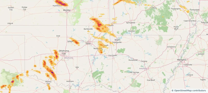
Tahlequah, OK — June 11, 2026 — regional hail footprint preview
Storm footprint preview

Local hail summary for the Tahlequah area: 4.88 square miles of estimated ground-hail footprint; highest mapped band 1+ inches. 0 official hail report(s) within the summary area. Exposure estimates are not confirmed property damage. Open the map to explore the full coverage included in your access. Statistics cover the mapped hail footprint inside the Census boundary of Tahlequah, OK, not the entire region. The place had 16,209 residents in the 2020 Census. A boundary intersection does not mean the whole community was hit. Estimated housing exposure: 257 units in 1-inch-or-larger bands, including 0 in 1.5-inch-or-larger bands and 0 in 2-inch-or-larger bands.

Affected states: Tahlequah area, OK
1+ inRadar size estimate 6,725Population Affected 3,268Houses Affected HailHazards FreeAccount signup
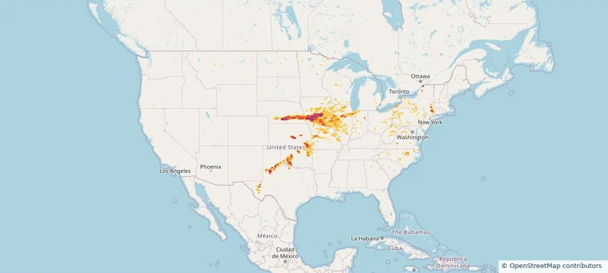
Nationwide Daily Hail, Wind & Tornado Map - June 11, 2026 — regional hail footprint preview
Storm footprint preview
Jun 10, 2026 10:00 PM to Jun 12, 2026 1:45 AM CST

Nationwide Daily Hail, Wind & Tornado Map - June 11, 2026

Hail as large as 3.50 inches was reported near Yorktown, IA. Wind up to 104 mph was reported near Essex, IA. 92 tornadoes were reported, including one near 3 miles northeast of Tallula, IL. The storm had 30 official hail reports.

Affected states: National, AR, CT, DC, FL, IL, IN, IA, KS, KY, MD, MI, MN, MO, NE, NJ, NM, NY, NC, OH, OK, PA, TX, VA, WV, WI
4.11 inRadar size estimate 2,096,539Population Affected 929,827Houses Affected Hail · Wind · TornadoHazards FreeAccount signup
Junction City, KS — June 10, 2026 — regional hail footprint preview
Storm footprint preview

Local hail summary for the Junction City area: 3.45 square miles of estimated ground-hail footprint; highest mapped band 1+ inches. 1 official hail report(s) within the summary area. Exposure estimates are not confirmed property damage. Open the map to explore the full coverage included in your access. Statistics cover the mapped hail footprint inside the Census boundary of Junction City, KS, not the entire region. The place had 22,932 residents in the 2020 Census. A boundary intersection does not mean the whole community was hit. Estimated housing exposure: 1,557 units in 1-inch-or-larger bands, including 0 in 1.5-inch-or-larger bands and 0 in 2-inch-or-larger bands.

Affected states: Junction City area, KS
1+ inRadar size estimate 5,079Population Affected 2,352Houses Affected HailHazards FreeAccount signup
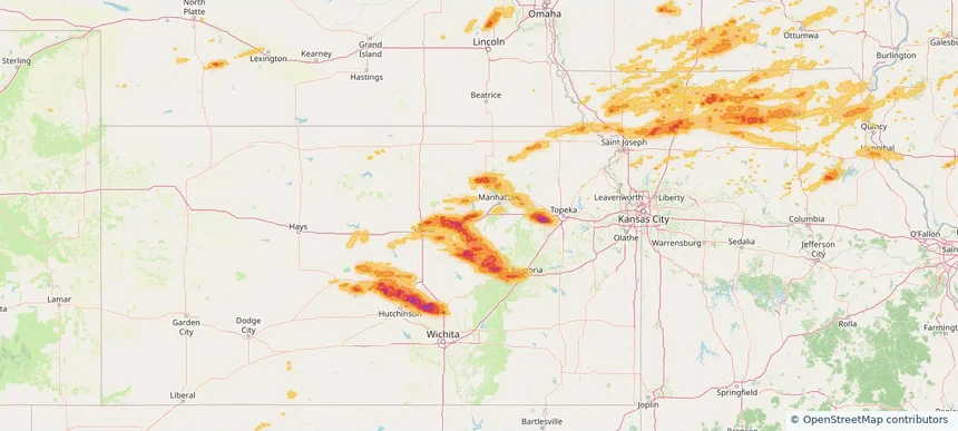
Madison, WI — June 10, 2026 — regional hail footprint preview
Storm footprint preview

Local hail summary for the Madison area: 10.30 square miles of estimated ground-hail footprint; highest mapped band 1+ inches. 0 official hail report(s) within the summary area. Exposure estimates are not confirmed property damage. Open the map to explore the full coverage included in your access. Statistics cover the mapped hail footprint inside the Census boundary of Madison, WI, not the entire region. The place had 269,840 residents in the 2020 Census. A boundary intersection does not mean the whole community was hit. Estimated housing exposure: 11,278 units in 1-inch-or-larger bands, including 0 in 1.5-inch-or-larger bands and 0 in 2-inch-or-larger bands.

Affected states: Madison area, WI
1+ inRadar size estimate 28,047Population Affected 14,074Houses Affected HailHazards FreeAccount signup
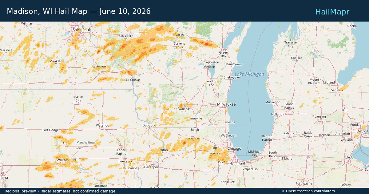
Middleton, WI — June 10, 2026 — regional hail footprint preview
Storm footprint preview

Local hail summary for the Middleton area: 5.08 square miles of estimated ground-hail footprint; highest mapped band 1+ inches. 0 official hail report(s) within the summary area. Exposure estimates are not confirmed property damage. Open the map to explore the full coverage included in your access. Statistics cover the mapped hail footprint inside the Census boundary of Middleton, WI, not the entire region. The place had 21,827 residents in the 2020 Census. A boundary intersection does not mean the whole community was hit. Estimated housing exposure: 2,373 units in 1-inch-or-larger bands, including 0 in 1.5-inch-or-larger bands and 0 in 2-inch-or-larger bands.

Affected states: Middleton area, WI
1+ inRadar size estimate 10,037Population Affected 4,989Houses Affected HailHazards FreeAccount signup
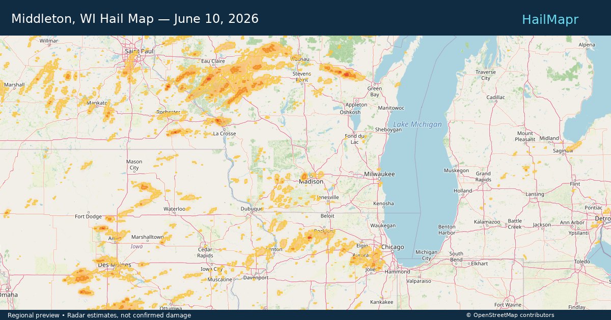
Newton, KS — June 10, 2026 — regional hail footprint preview
Storm footprint preview

Local hail summary for the Newton area: 8.96 square miles of estimated ground-hail footprint; highest mapped band 1.5+ inches. 1 official hail report(s) within the summary area. Exposure estimates are not confirmed property damage. Open the map to explore the full coverage included in your access. Statistics cover the mapped hail footprint inside the Census boundary of Newton, KS, not the entire region. The place had 18,602 residents in the 2020 Census. A boundary intersection does not mean the whole community was hit. Estimated housing exposure: 6,539 units in 1-inch-or-larger bands, including 0 in 1.5-inch-or-larger bands and 0 in 2-inch-or-larger bands.

Affected states: Newton area, KS
1.5+ inRadar size estimate 14,613Population Affected 6,539Houses Affected HailHazards FreeAccount signup
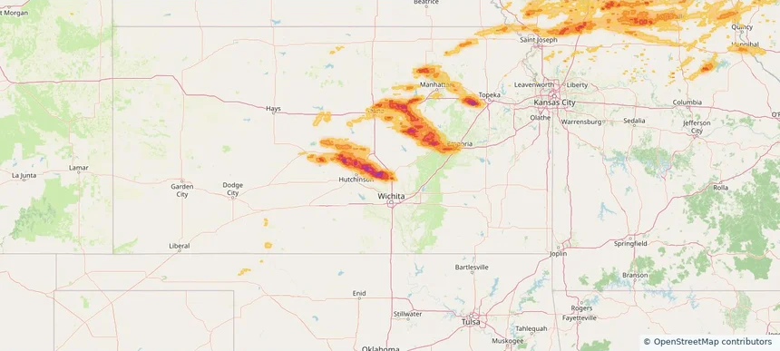
Prior Lake, MN — June 10, 2026 — regional hail footprint preview
Storm footprint preview

Local hail summary for the Prior Lake area: 1.24 square miles of estimated ground-hail footprint; highest mapped band 1+ inches. 0 official hail report(s) within the summary area. Exposure estimates are not confirmed property damage. Open the map to explore the full coverage included in your access. Statistics cover the mapped hail footprint inside the Census boundary of Prior Lake, MN, not the entire region. The place had 27,617 residents in the 2020 Census. A boundary intersection does not mean the whole community was hit. Estimated housing exposure: 135 units in 1-inch-or-larger bands, including 0 in 1.5-inch-or-larger bands and 0 in 2-inch-or-larger bands.

Affected states: Prior Lake area, MN
1+ inRadar size estimate 2,750Population Affected 1,023Houses Affected HailHazards FreeAccount signup
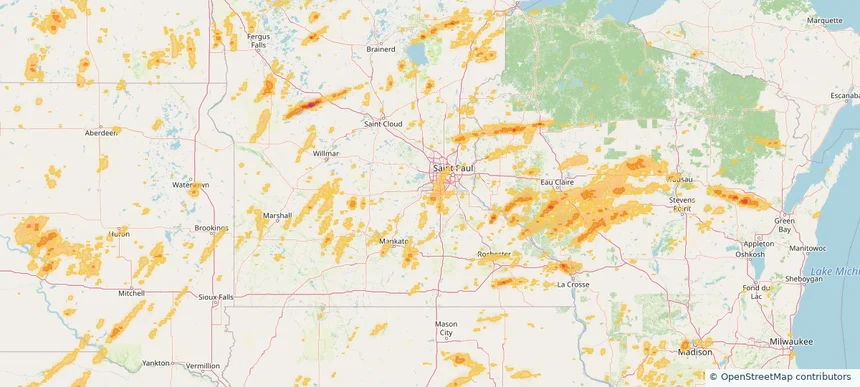
Nationwide Daily Hail, Wind & Tornado Map - June 10, 2026 — regional hail footprint preview
Storm footprint preview
Jun 9, 2026 10:00 PM to Jun 11, 2026 1:45 AM CST

Nationwide Daily Hail, Wind & Tornado Map - June 10, 2026

Hail as large as 2.75 inches was reported near 7 miles south of Little River, KS. Wind up to 108 mph was reported near 1 mile south of Wittman Field, WI. 37 tornadoes were reported, including one near Henry, SD. The storm had 40 official hail reports.

Affected states: National, CO, FL, GA, IL, IN, IA, KS, MI, MN, MO, NE, NM, NY, NC, ND, OH, OK, PA, SD, TX, VA, WV, WI
2.87 inRadar size estimate 2,657,782Population Affected 1,112,623Houses Affected Hail · Wind · TornadoHazards FreeAccount signup
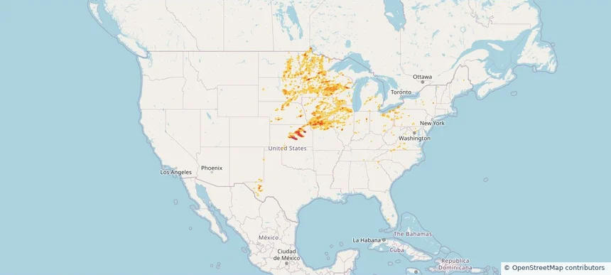
Nashville-Davidson metropolitan government (balance), TN — June 09, 2026 — regional hail footprint preview
Storm footprint preview

Local hail summary for the Nashville-Davidson metropolitan government (balance) area: 5.45 square miles of estimated ground-hail footprint; highest mapped band 1+ inches. 0 official hail report(s) within the summary area. Exposure estimates are not confirmed property damage. Open the map to explore the full coverage included in your access. Statistics cover the mapped hail footprint inside the Census boundary of Nashville-Davidson metropolitan government (balance), TN, not the entire region. The place had 689,447 residents in the 2020 Census. A boundary intersection does not mean the whole community was hit. Estimated housing exposure: 1,517 units in 1-inch-or-larger bands, including 0 in 1.5-inch-or-larger bands and 0 in 2-inch-or-larger bands.

Affected states: Nashville-Davidson metropolitan government (balance) area, TN
1+ inRadar size estimate 8,590Population Affected 3,939Houses Affected HailHazards FreeAccount signup
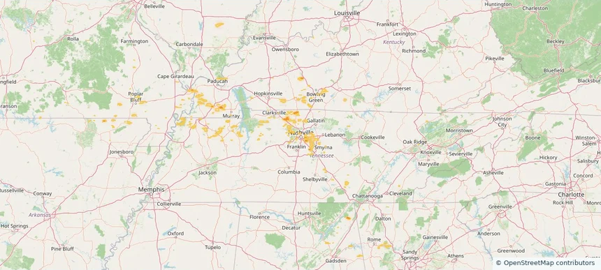
Topeka, KS — June 09, 2026 — regional hail footprint preview
Storm footprint preview

Local hail summary for the Topeka area: 9.51 square miles of estimated ground-hail footprint; highest mapped band 1+ inches. 0 official hail report(s) within the summary area. Exposure estimates are not confirmed property damage. Open the map to explore the full coverage included in your access. Statistics cover the mapped hail footprint inside the Census boundary of Topeka, KS, not the entire region. The place had 126,587 residents in the 2020 Census. A boundary intersection does not mean the whole community was hit. Estimated housing exposure: 3,974 units in 1-inch-or-larger bands, including 0 in 1.5-inch-or-larger bands and 0 in 2-inch-or-larger bands.

Affected states: Topeka area, KS
1+ inRadar size estimate 14,825Population Affected 6,468Houses Affected HailHazards FreeAccount signup
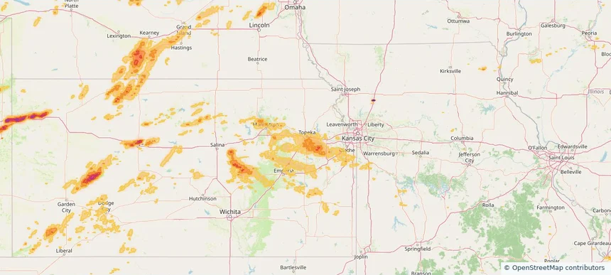
Nationwide Daily Hail, Wind & Tornado Map - June 9, 2026 — regional hail footprint preview
Storm footprint preview
Jun 8, 2026 10:00 PM to Jun 10, 2026 1:45 AM CST

Nationwide Daily Hail, Wind & Tornado Map - June 9, 2026

Hail as large as 4.00 inches was reported near 13 miles south of Bethune, CO. Wind up to 128 mph was reported near 1 mile west-northwest of Gypsum, KS. 6 tornadoes were reported, including one near 2 miles southwest of Grand Ledge, MI. The storm had 18 official hail reports.

Affected states: National, AL, AR, CO, GA, ID, IL, IN, IA, KS, KY, MI, MN, MO, MT, NE, NM, NY, ND, OH, OK, SD, TN, TX, UT, WY
2.96 inRadar size estimate 565,178Population Affected 249,545Houses Affected Hail · Wind · TornadoHazards FreeAccount signup
Arvada, CO — June 08, 2026 — regional hail footprint preview
Storm footprint preview

Local hail summary for the Arvada area: 12.59 square miles of estimated ground-hail footprint; highest mapped band 1+ inches. 0 official hail report(s) within the summary area. Exposure estimates are not confirmed property damage. Open the map to explore the full coverage included in your access. Statistics cover the mapped hail footprint inside the Census boundary of Arvada, CO, not the entire region. The place had 124,402 residents in the 2020 Census. A boundary intersection does not mean the whole community was hit. Estimated housing exposure: 2,022 units in 1-inch-or-larger bands, including 0 in 1.5-inch-or-larger bands and 0 in 2-inch-or-larger bands.

Affected states: Arvada area, CO
1+ inRadar size estimate 55,928Population Affected 25,059Houses Affected HailHazards FreeAccount signup
Castle Rock, CO — June 08, 2026 — regional hail footprint preview
Storm footprint preview

Local hail summary for the Castle Rock area: 8.42 square miles of estimated ground-hail footprint; highest mapped band 1+ inches. 0 official hail report(s) within the summary area. Exposure estimates are not confirmed property damage. Open the map to explore the full coverage included in your access. Statistics cover the mapped hail footprint inside the Census boundary of Castle Rock, CO, not the entire region. The place had 73,158 residents in the 2020 Census. A boundary intersection does not mean the whole community was hit. Estimated housing exposure: 1,832 units in 1-inch-or-larger bands, including 0 in 1.5-inch-or-larger bands and 0 in 2-inch-or-larger bands.

Affected states: Castle Rock area, CO
1+ inRadar size estimate 14,634Population Affected 5,572Houses Affected HailHazards FreeAccount signup
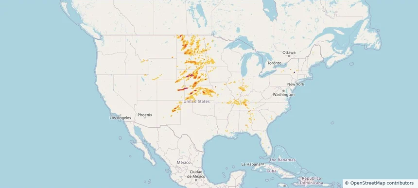
Commerce City, CO — June 08, 2026 — regional hail footprint preview
Storm footprint preview

Local hail summary for the Commerce City area: 18.06 square miles of estimated ground-hail footprint; highest mapped band 1+ inches. 0 official hail report(s) within the summary area. Exposure estimates are not confirmed property damage. Open the map to explore the full coverage included in your access. Statistics cover the mapped hail footprint inside the Census boundary of Commerce City, CO, not the entire region. The place had 62,418 residents in the 2020 Census. A boundary intersection does not mean the whole community was hit. Estimated housing exposure: 2,900 units in 1-inch-or-larger bands, including 0 in 1.5-inch-or-larger bands and 0 in 2-inch-or-larger bands.

Affected states: Commerce City area, CO
1+ inRadar size estimate 39,062Population Affected 12,361Houses Affected HailHazards FreeAccount signup
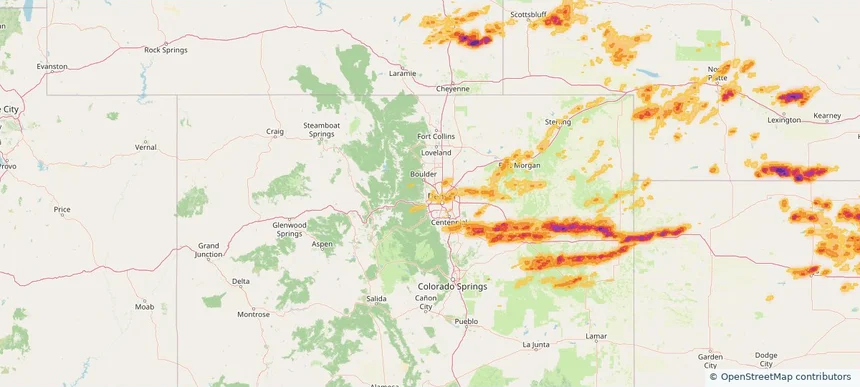
Denver, CO — June 08, 2026 — regional hail footprint preview
Storm footprint preview

Local hail summary for the Denver area: 46.65 square miles of estimated ground-hail footprint; highest mapped band 1+ inches. 0 official hail report(s) within the summary area. Exposure estimates are not confirmed property damage. Open the map to explore the full coverage included in your access. Statistics cover the mapped hail footprint inside the Census boundary of Denver, CO, not the entire region. The place had 715,522 residents in the 2020 Census. A boundary intersection does not mean the whole community was hit. Estimated housing exposure: 10,883 units in 1-inch-or-larger bands, including 0 in 1.5-inch-or-larger bands and 0 in 2-inch-or-larger bands.

Affected states: Denver area, CO
1+ inRadar size estimate 87,535Population Affected 31,312Houses Affected HailHazards FreeAccount signup
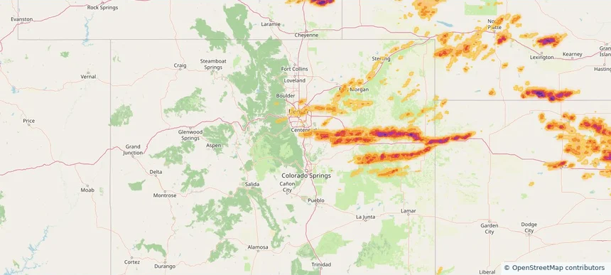
Salina, KS — June 08, 2026 — regional hail footprint preview
Storm footprint preview

Local hail summary for the Salina area: 9.21 square miles of estimated ground-hail footprint; highest mapped band 1+ inches. 1 official hail report(s) within the summary area. Exposure estimates are not confirmed property damage. Open the map to explore the full coverage included in your access. Statistics cover the mapped hail footprint inside the Census boundary of Salina, KS, not the entire region. The place had 46,889 residents in the 2020 Census. A boundary intersection does not mean the whole community was hit. Estimated housing exposure: 6,338 units in 1-inch-or-larger bands, including 0 in 1.5-inch-or-larger bands and 0 in 2-inch-or-larger bands.

Affected states: Salina area, KS
1+ inRadar size estimate 17,595Population Affected 8,492Houses Affected HailHazards FreeAccount signup
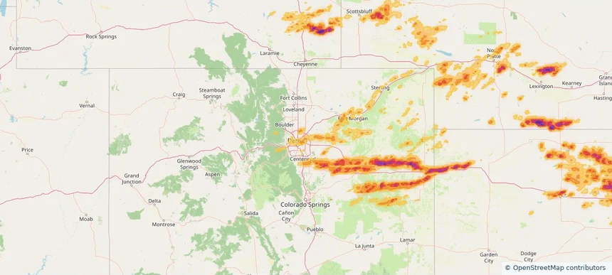
The Pinery, CO — June 08, 2026 — regional hail footprint preview
Storm footprint preview

Local hail summary for the The Pinery area: 10.42 square miles of estimated ground-hail footprint; highest mapped band 1+ inches. 1 official hail report(s) within the summary area. Exposure estimates are not confirmed property damage. Open the map to explore the full coverage included in your access. Statistics cover the mapped hail footprint inside the Census boundary of The Pinery, CO, not the entire region. The place had 11,311 residents in the 2020 Census. A boundary intersection does not mean the whole community was hit. Estimated housing exposure: 3,978 units in 1-inch-or-larger bands, including 0 in 1.5-inch-or-larger bands and 0 in 2-inch-or-larger bands.

Affected states: The Pinery area, CO
1+ inRadar size estimate 11,311Population Affected 3,978Houses Affected HailHazards FreeAccount signup
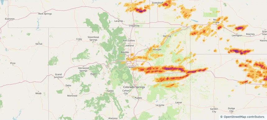
Thornton, CO — June 08, 2026 — regional hail footprint preview
Storm footprint preview

Local hail summary for the Thornton area: 8.55 square miles of estimated ground-hail footprint; highest mapped band 1+ inches. 0 official hail report(s) within the summary area. Exposure estimates are not confirmed property damage. Open the map to explore the full coverage included in your access. Statistics cover the mapped hail footprint inside the Census boundary of Thornton, CO, not the entire region. The place had 141,867 residents in the 2020 Census. A boundary intersection does not mean the whole community was hit. Estimated housing exposure: 242 units in 1-inch-or-larger bands, including 0 in 1.5-inch-or-larger bands and 0 in 2-inch-or-larger bands.

Affected states: Thornton area, CO
1+ inRadar size estimate 17,496Population Affected 5,734Houses Affected HailHazards FreeAccount signup
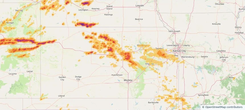
Topeka, KS — June 08, 2026 — regional hail footprint preview
Storm footprint preview

Local hail summary for the Topeka area: 9.51 square miles of estimated ground-hail footprint; highest mapped band 1+ inches. 0 official hail report(s) within the summary area. Exposure estimates are not confirmed property damage. Open the map to explore the full coverage included in your access. Statistics cover the mapped hail footprint inside the Census boundary of Topeka, KS, not the entire region. The place had 126,587 residents in the 2020 Census. A boundary intersection does not mean the whole community was hit. Estimated housing exposure: 3,974 units in 1-inch-or-larger bands, including 0 in 1.5-inch-or-larger bands and 0 in 2-inch-or-larger bands.

Affected states: Topeka area, KS
1+ inRadar size estimate 14,825Population Affected 6,468Houses Affected HailHazards FreeAccount signup
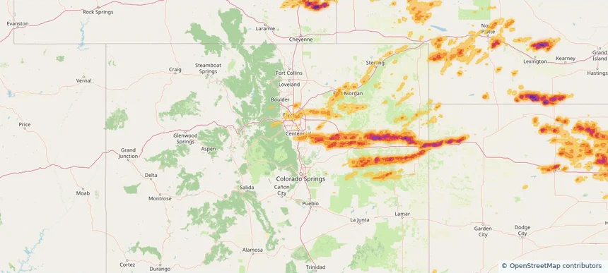
Wheat Ridge, CO — June 08, 2026 — regional hail footprint preview
Storm footprint preview

Local hail summary for the Wheat Ridge area: 5.77 square miles of estimated ground-hail footprint; highest mapped band 1+ inches. 1 official hail report(s) within the summary area. Exposure estimates are not confirmed property damage. Open the map to explore the full coverage included in your access. Statistics cover the mapped hail footprint inside the Census boundary of Wheat Ridge, CO, not the entire region. The place had 32,398 residents in the 2020 Census. A boundary intersection does not mean the whole community was hit. Estimated housing exposure: 1,502 units in 1-inch-or-larger bands, including 0 in 1.5-inch-or-larger bands and 0 in 2-inch-or-larger bands.

Affected states: Wheat Ridge area, CO
1+ inRadar size estimate 17,037Population Affected 8,165Houses Affected HailHazards FreeAccount signup
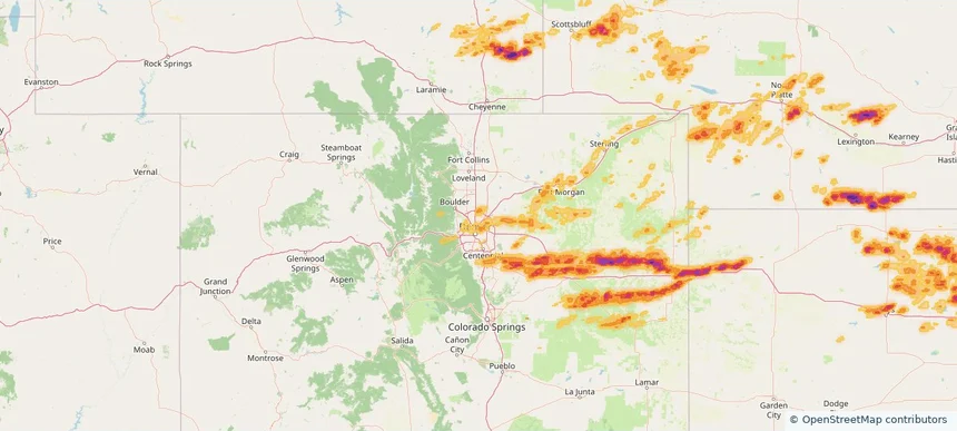
Nationwide Daily Hail, Wind & Tornado Map - June 8, 2026 — regional hail footprint preview
Storm footprint preview
Jun 7, 2026 10:00 PM to Jun 9, 2026 1:45 AM CST

Nationwide Daily Hail, Wind & Tornado Map - June 8, 2026

Hail as large as 4.00 inches was reported near 13 miles south of Bethune, CO. Wind up to 130 mph was reported near 3 miles southwest of Salina, KS. 4 tornadoes were reported, including one near 10 miles south of Berthold, ND. The storm had 31 official hail reports.

Affected states: National, AL, AR, CO, IL, KS, KY, MI, MN, MS, MO, NE, NM, NC, ND, OH, OK, PA, SD, TN, TX, WV, WY
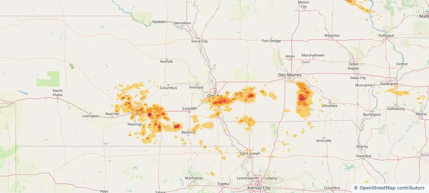
3.5 inRadar size estimate 919,278Population Affected 387,034Houses Affected Hail · Wind · TornadoHazards FreeAccount signup
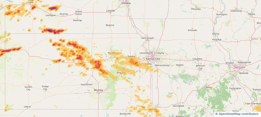
Nationwide Daily Hail, Wind & Tornado Map - June 7, 2026 — regional hail footprint preview
Storm footprint preview
Jun 6, 2026 10:00 PM to Jun 8, 2026 1:48 AM CST

Nationwide Daily Hail, Wind & Tornado Map - June 7, 2026

Hail as large as 3.25 inches was reported near 5 miles north of Redig, SD. Wind up to 118 mph was reported near 1 mile north of Beulah, ND. 10 tornadoes were reported, including one near 2 miles east of Nail, AR. The storm had 14 official hail reports.

Affected states: National, AR, CO, IL, KS, MN, MO, MT, NE, NJ, ND, OK, SD, TX, UT, WV, WY
3.97 inRadar size estimate 143,161Population Affected 63,979Houses Affected Hail · Wind · TornadoHazards FreeAccount signup
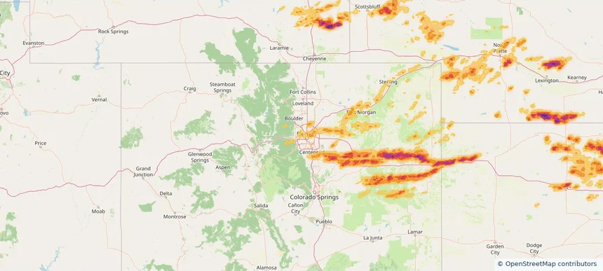
Bellevue, NE — June 06, 2026 — regional hail footprint preview
Storm footprint preview

Local hail summary for the Bellevue area: 4.36 square miles of estimated ground-hail footprint; highest mapped band 1+ inches. 0 official hail report(s) within the summary area. Exposure estimates are not confirmed property damage. Open the map to explore the full coverage included in your access. Statistics cover the mapped hail footprint inside the Census boundary of Bellevue, NE, not the entire region. The place had 64,176 residents in the 2020 Census. A boundary intersection does not mean the whole community was hit. Estimated housing exposure: 934 units in 1-inch-or-larger bands, including 0 in 1.5-inch-or-larger bands and 0 in 2-inch-or-larger bands.

Affected states: Bellevue area, NE
1+ inRadar size estimate 17,635Population Affected 6,769Houses Affected HailHazards FreeAccount signup
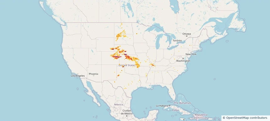
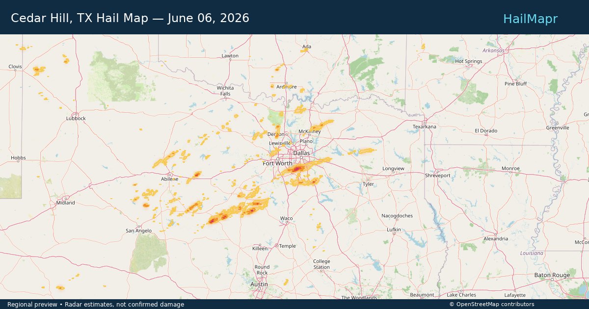
Cedar Hill, TX — June 06, 2026 — regional hail footprint preview
Storm footprint preview

Local hail summary for the Cedar Hill area: 16.82 square miles of estimated ground-hail footprint; highest mapped band 2+ inches. 0 official hail report(s) within the summary area. Exposure estimates are not confirmed property damage. Open the map to explore the full coverage included in your access. Statistics cover the mapped hail footprint inside the Census boundary of Cedar Hill, TX, not the entire region. The place had 49,148 residents in the 2020 Census. A boundary intersection does not mean the whole community was hit. Estimated housing exposure: 5,708 units in 1-inch-or-larger bands, including 1,142 in 1.5-inch-or-larger bands and 1 in 2-inch-or-larger bands.

Affected states: Cedar Hill area, TX
2+ inRadar size estimate 21,651Population Affected 7,460Houses Affected HailHazards FreeAccount signup
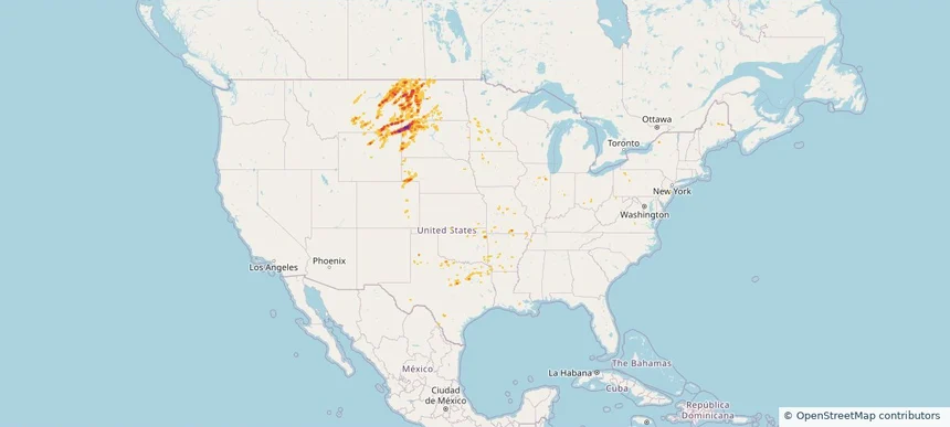
Page 38 of 99
‹ 1 37 38 39 99 ›

Frequently asked questions

Can I search hail maps by coverage area?

Yes. The storm library supports coverage-area filtering so you can find hail maps and hail swaths in a target service area.

What kinds of storms appear in the HailMapr library?

The library focuses on published hail events, including ready storm maps and live storms once hail has been detected and a public swath is available.

Are HailMapr storm pages useful for roofers and adjusters?

Yes. They are built to help roofers, adjusters, restoration teams, and property owners review storm footprints before purchase.