
Storm library

Browse live and recent hail maps.

Review storm footprints, hail swaths, reports, and replay access. Create a free account to save your setup and move into map access when a storm matters.

Search filters
Clear
Newest storms first by default.
Don't see your storm? Request a qualifying storm map and we'll email you when it is ready.
Showing 649-672 of 2369 storms · Page 28 of 99
‹ 1 27 28 29 99 ›
Request a storm map

Tell us about the storm and we'll build the map. Once it's published you'll get an email and can purchase it from the library — just like any other event.

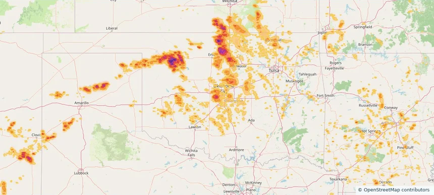
Mustang, OK — July 04, 2026 — regional hail footprint preview
Storm footprint preview

Local hail summary for the Mustang area: 12.01 square miles of estimated ground-hail footprint; highest mapped band 2+ inches. 1 official hail report(s) within the summary area. Exposure estimates are not confirmed property damage. Open the map to explore the full coverage included in your access. Statistics cover the mapped hail footprint inside the Census boundary of Mustang, OK, not the entire region. The place had 19,879 residents in the 2020 Census. A boundary intersection does not mean the whole community was hit. Estimated housing exposure: 7,722 units in 1-inch-or-larger bands, including 6,680 in 1.5-inch-or-larger bands and 3,828 in 2-inch-or-larger bands.

Affected states: Mustang area, OK
2+ inRadar size estimate 19,879Population Affected 7,777Houses Affected HailHazards FreeAccount signup
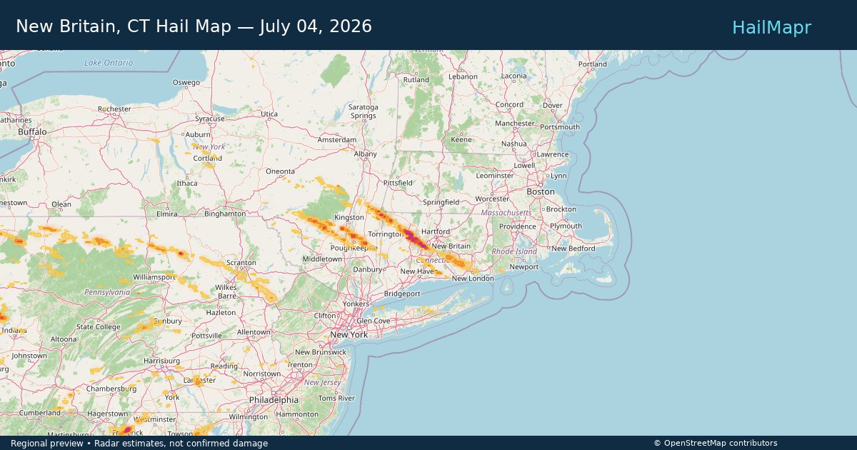
New Britain, CT — July 04, 2026 — regional hail footprint preview
Storm footprint preview

Local hail summary for the New Britain area: 1.33 square miles of estimated ground-hail footprint; highest mapped band 1+ inches. 1 official hail report(s) within the summary area. Exposure estimates are not confirmed property damage. Open the map to explore the full coverage included in your access. Statistics cover the mapped hail footprint inside the Census boundary of New Britain, CT, not the entire region. The place had 74,135 residents in the 2020 Census. A boundary intersection does not mean the whole community was hit. Estimated housing exposure: 165 units in 1-inch-or-larger bands, including 0 in 1.5-inch-or-larger bands and 0 in 2-inch-or-larger bands.

Affected states: New Britain area, CT
1+ inRadar size estimate 2,321Population Affected 1,013Houses Affected HailHazards FreeAccount signup
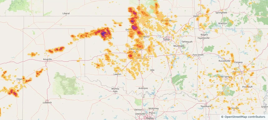
Newcastle, OK — July 04, 2026 — regional hail footprint preview
Storm footprint preview

Local hail summary for the Newcastle area: 9.06 square miles of estimated ground-hail footprint; highest mapped band 1+ inches. 0 official hail report(s) within the summary area. Exposure estimates are not confirmed property damage. Open the map to explore the full coverage included in your access. Statistics cover the mapped hail footprint inside the Census boundary of Newcastle, OK, not the entire region. The place had 10,984 residents in the 2020 Census. A boundary intersection does not mean the whole community was hit. Estimated housing exposure: 316 units in 1-inch-or-larger bands, including 0 in 1.5-inch-or-larger bands and 0 in 2-inch-or-larger bands.

Affected states: Newcastle area, OK
1+ inRadar size estimate 1,345Population Affected 467Houses Affected HailHazards FreeAccount signup
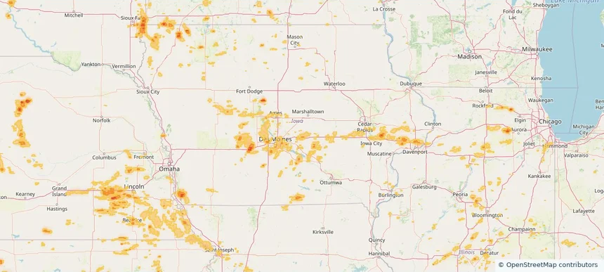
Newton, IA — July 04, 2026 — regional hail footprint preview
Storm footprint preview

Local hail summary for the Newton area: 4.20 square miles of estimated ground-hail footprint; highest mapped band 1+ inches. 0 official hail report(s) within the summary area. Exposure estimates are not confirmed property damage. Open the map to explore the full coverage included in your access. Statistics cover the mapped hail footprint inside the Census boundary of Newton, IA, not the entire region. The place had 15,760 residents in the 2020 Census. A boundary intersection does not mean the whole community was hit. Estimated housing exposure: 637 units in 1-inch-or-larger bands, including 0 in 1.5-inch-or-larger bands and 0 in 2-inch-or-larger bands.

Affected states: Newton area, IA
1+ inRadar size estimate 6,387Population Affected 2,993Houses Affected HailHazards FreeAccount signup
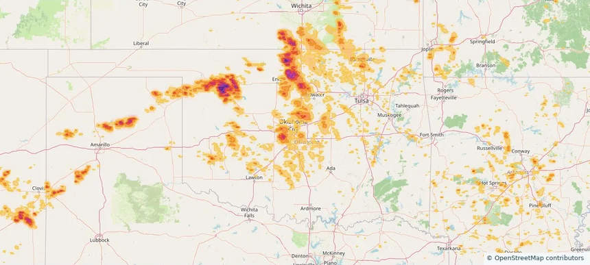
Oklahoma City, OK — July 04, 2026 — regional hail footprint preview
Storm footprint preview

Local hail summary for the Oklahoma City area: 158.95 square miles of estimated ground-hail footprint; highest mapped band 2+ inches. 0 official hail report(s) within the summary area. Exposure estimates are not confirmed property damage. Open the map to explore the full coverage included in your access. Statistics cover the mapped hail footprint inside the Census boundary of Oklahoma City, OK, not the entire region. The place had 681,054 residents in the 2020 Census. A boundary intersection does not mean the whole community was hit. Estimated housing exposure: 30,709 units in 1-inch-or-larger bands, including 9,552 in 1.5-inch-or-larger bands and 747 in 2-inch-or-larger bands.

Affected states: Oklahoma City area, OK
2+ inRadar size estimate 114,133Population Affected 45,664Houses Affected HailHazards FreeAccount signup
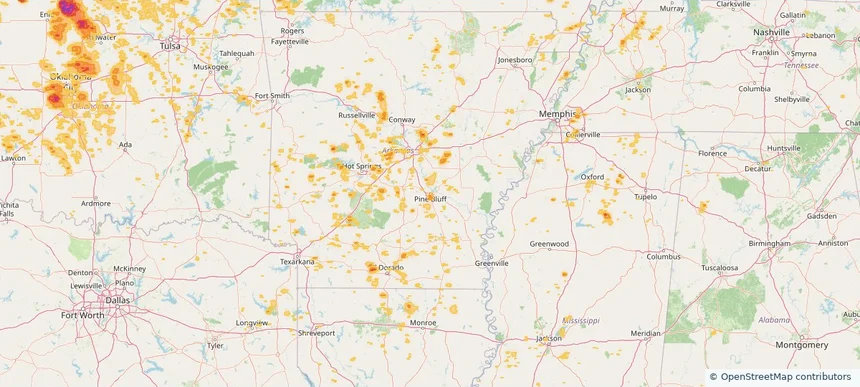
Pine Bluff, AR — July 04, 2026 — regional hail footprint preview
Storm footprint preview

Local hail summary for the Pine Bluff area: 3.86 square miles of estimated ground-hail footprint; highest mapped band 1+ inches. 0 official hail report(s) within the summary area. Exposure estimates are not confirmed property damage. Open the map to explore the full coverage included in your access. Statistics cover the mapped hail footprint inside the Census boundary of Pine Bluff, AR, not the entire region. The place had 41,253 residents in the 2020 Census. A boundary intersection does not mean the whole community was hit. Estimated housing exposure: 400 units in 1-inch-or-larger bands, including 0 in 1.5-inch-or-larger bands and 0 in 2-inch-or-larger bands.

Affected states: Pine Bluff area, AR
1+ inRadar size estimate 3,071Population Affected 1,415Houses Affected HailHazards FreeAccount signup
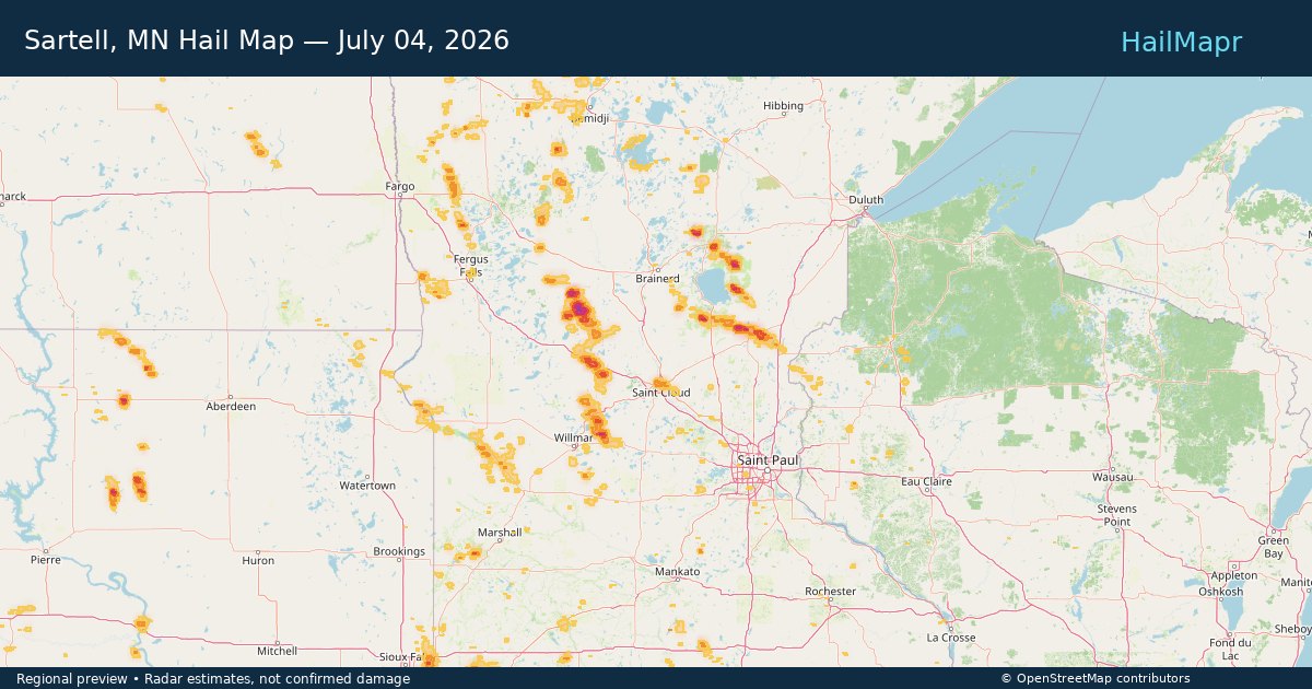
Sartell, MN — July 04, 2026 — regional hail footprint preview
Storm footprint preview

Local hail summary for the Sartell area: 0.67 square miles of estimated ground-hail footprint; highest mapped band 1+ inches. 0 official hail report(s) within the summary area. Exposure estimates are not confirmed property damage. Open the map to explore the full coverage included in your access. Statistics cover the mapped hail footprint inside the Census boundary of Sartell, MN, not the entire region. The place had 19,351 residents in the 2020 Census. A boundary intersection does not mean the whole community was hit. Estimated housing exposure: 234 units in 1-inch-or-larger bands, including 0 in 1.5-inch-or-larger bands and 0 in 2-inch-or-larger bands.

Affected states: Sartell area, MN
1+ inRadar size estimate 713Population Affected 317Houses Affected HailHazards FreeAccount signup
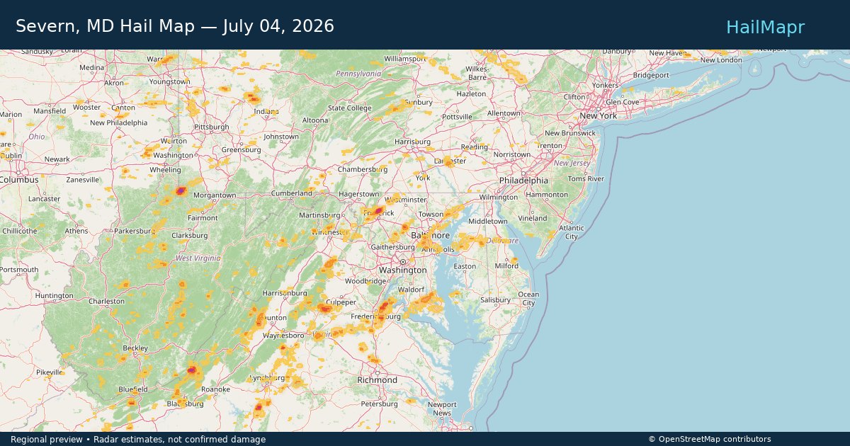
Severn, MD — July 04, 2026 — regional hail footprint preview
Storm footprint preview

Local hail summary for the Severn area: 1.59 square miles of estimated ground-hail footprint; highest mapped band 1+ inches. 0 official hail report(s) within the summary area. Exposure estimates are not confirmed property damage. Open the map to explore the full coverage included in your access. Statistics cover the mapped hail footprint inside the Census boundary of Severn, MD, not the entire region. The place had 57,118 residents in the 2020 Census. A boundary intersection does not mean the whole community was hit. Estimated housing exposure: 2,701 units in 1-inch-or-larger bands, including 0 in 1.5-inch-or-larger bands and 0 in 2-inch-or-larger bands.

Affected states: Severn area, MD
1+ inRadar size estimate 7,326Population Affected 2,701Houses Affected HailHazards FreeAccount signup
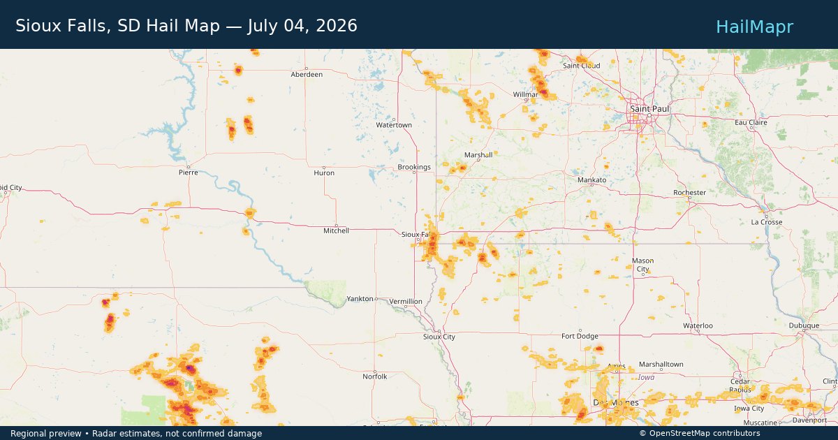
Sioux Falls, SD — July 04, 2026 — regional hail footprint preview
Storm footprint preview

Local hail summary for the Sioux Falls area: 2.29 square miles of estimated ground-hail footprint; highest mapped band 1+ inches. 0 official hail report(s) within the summary area. Exposure estimates are not confirmed property damage. Open the map to explore the full coverage included in your access. Statistics cover the mapped hail footprint inside the Census boundary of Sioux Falls, SD, not the entire region. The place had 192,517 residents in the 2020 Census. A boundary intersection does not mean the whole community was hit. Estimated housing exposure: 270 units in 1-inch-or-larger bands, including 0 in 1.5-inch-or-larger bands and 0 in 2-inch-or-larger bands.

Affected states: Sioux Falls area, SD
1+ inRadar size estimate 2,634Population Affected 1,641Houses Affected HailHazards FreeAccount signup
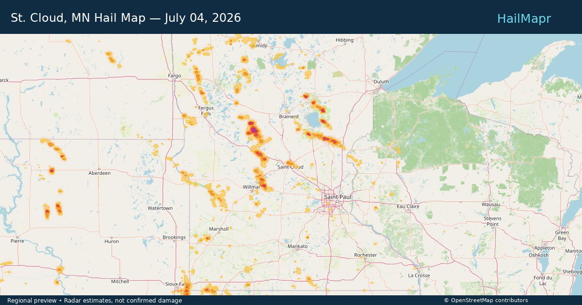
St. Cloud, MN — July 04, 2026 — regional hail footprint preview
Storm footprint preview

Local hail summary for the St. Cloud area: 18.54 square miles of estimated ground-hail footprint; highest mapped band 1+ inches. 2 official hail report(s) within the summary area. Exposure estimates are not confirmed property damage. Open the map to explore the full coverage included in your access. Statistics cover the mapped hail footprint inside the Census boundary of St. Cloud, MN, not the entire region. The place had 68,881 residents in the 2020 Census. A boundary intersection does not mean the whole community was hit. Estimated housing exposure: 19,452 units in 1-inch-or-larger bands, including 0 in 1.5-inch-or-larger bands and 0 in 2-inch-or-larger bands.

Affected states: St. Cloud area, MN
1+ inRadar size estimate 57,250Population Affected 24,300Houses Affected HailHazards FreeAccount signup
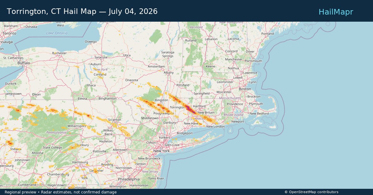
Torrington, CT — July 04, 2026 — regional hail footprint preview
Storm footprint preview

Local hail summary for the Torrington area: 10.25 square miles of estimated ground-hail footprint; highest mapped band 2+ inches. 0 official hail report(s) within the summary area. Exposure estimates are not confirmed property damage. Open the map to explore the full coverage included in your access. Statistics cover the mapped hail footprint inside the Census boundary of Torrington, CT, not the entire region. The place had 35,515 residents in the 2020 Census. A boundary intersection does not mean the whole community was hit. Estimated housing exposure: 9,269 units in 1-inch-or-larger bands, including 6,263 in 1.5-inch-or-larger bands and 1,398 in 2-inch-or-larger bands.

Affected states: Torrington area, CT
2+ inRadar size estimate 22,379Population Affected 10,942Houses Affected HailHazards FreeAccount signup
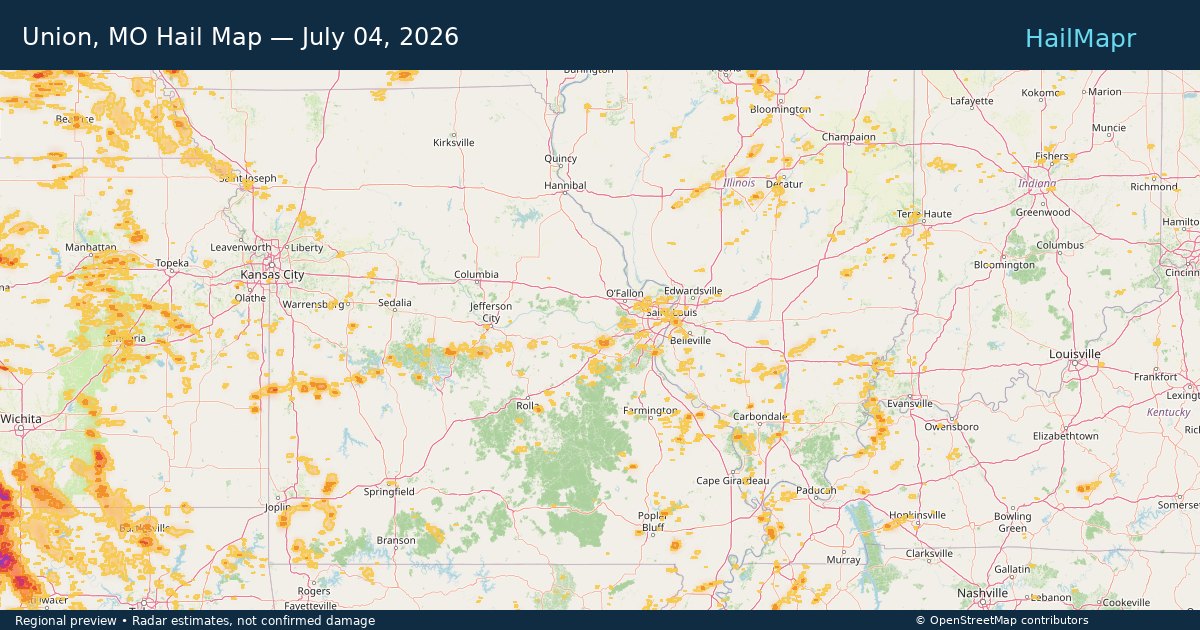
Union, MO — July 04, 2026 — regional hail footprint preview
Storm footprint preview

Local hail summary for the Union area: 4.63 square miles of estimated ground-hail footprint; highest mapped band 1+ inches. 0 official hail report(s) within the summary area. Exposure estimates are not confirmed property damage. Open the map to explore the full coverage included in your access. Statistics cover the mapped hail footprint inside the Census boundary of Union, MO, not the entire region. The place had 12,348 residents in the 2020 Census. A boundary intersection does not mean the whole community was hit. Estimated housing exposure: 1,072 units in 1-inch-or-larger bands, including 0 in 1.5-inch-or-larger bands and 0 in 2-inch-or-larger bands.

Affected states: Union area, MO
1+ inRadar size estimate 4,216Population Affected 1,671Houses Affected HailHazards FreeAccount signup
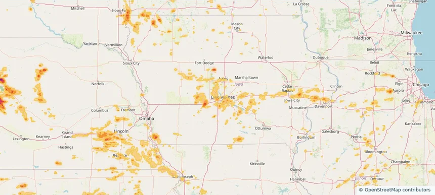
Urbandale, IA — July 04, 2026 — regional hail footprint preview
Storm footprint preview

Local hail summary for the Urbandale area: 2.15 square miles of estimated ground-hail footprint; highest mapped band 1+ inches. 0 official hail report(s) within the summary area. Exposure estimates are not confirmed property damage. Open the map to explore the full coverage included in your access. Statistics cover the mapped hail footprint inside the Census boundary of Urbandale, IA, not the entire region. The place had 45,580 residents in the 2020 Census. A boundary intersection does not mean the whole community was hit. Estimated housing exposure: 943 units in 1-inch-or-larger bands, including 0 in 1.5-inch-or-larger bands and 0 in 2-inch-or-larger bands.

Affected states: Urbandale area, IA
1+ inRadar size estimate 2,329Population Affected 963Houses Affected HailHazards FreeAccount signup
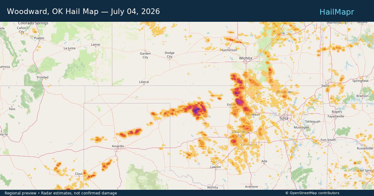
Woodward, OK — July 04, 2026 — regional hail footprint preview
Storm footprint preview

Local hail summary for the Woodward area: 10.32 square miles of estimated ground-hail footprint; highest mapped band 1.5+ inches. 0 official hail report(s) within the summary area. Exposure estimates are not confirmed property damage. Open the map to explore the full coverage included in your access. Statistics cover the mapped hail footprint inside the Census boundary of Woodward, OK, not the entire region. The place had 12,133 residents in the 2020 Census. A boundary intersection does not mean the whole community was hit. Estimated housing exposure: 1,142 units in 1-inch-or-larger bands, including 118 in 1.5-inch-or-larger bands and 0 in 2-inch-or-larger bands.

Affected states: Woodward area, OK
1.5+ inRadar size estimate 8,410Population Affected 4,171Houses Affected HailHazards FreeAccount signup
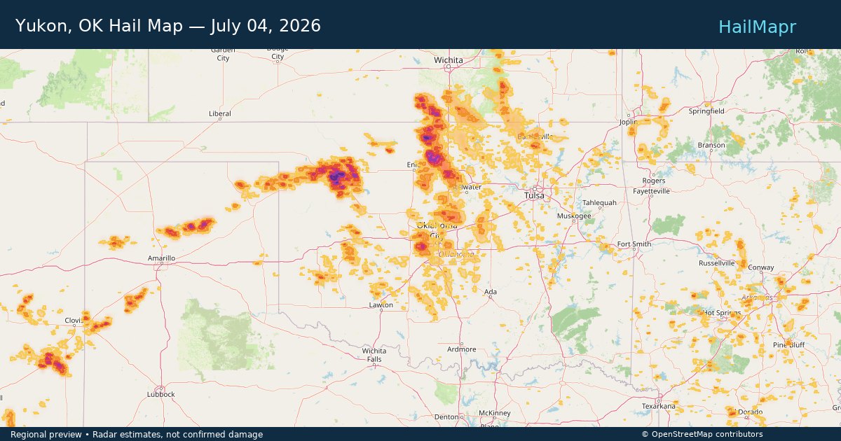
Yukon, OK — July 04, 2026 — regional hail footprint preview
Storm footprint preview

Local hail summary for the Yukon area: 19.42 square miles of estimated ground-hail footprint; highest mapped band 1+ inches. 0 official hail report(s) within the summary area. Exposure estimates are not confirmed property damage. Open the map to explore the full coverage included in your access. Statistics cover the mapped hail footprint inside the Census boundary of Yukon, OK, not the entire region. The place had 23,630 residents in the 2020 Census. A boundary intersection does not mean the whole community was hit. Estimated housing exposure: 4,871 units in 1-inch-or-larger bands, including 0 in 1.5-inch-or-larger bands and 0 in 2-inch-or-larger bands.

Affected states: Yukon area, OK
1+ inRadar size estimate 19,628Population Affected 8,042Houses Affected HailHazards FreeAccount signup
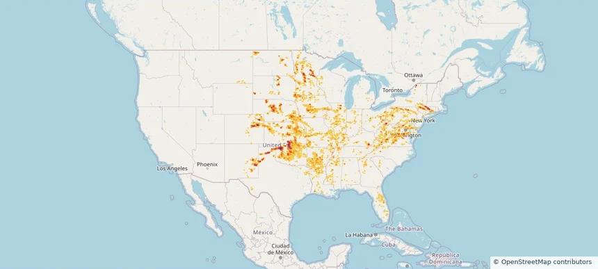
Nationwide Daily Hail, Wind & Tornado Map - July 4, 2026 — regional hail footprint preview
Storm footprint preview
Jul 3, 2026 10:00 PM to Jul 5, 2026 1:43 AM CST

Nationwide Daily Hail, Wind & Tornado Map - July 4, 2026

Hail as large as 3.00 inches was reported near Bristol, CT. Wind up to 106 mph was reported near 3 miles northwest of Norman, OK. 5 tornadoes were reported, including one near 2 miles east-southeast of Everly, IA. The storm had 40 official hail reports.

Affected states: National, AL, AR, CO, CT, DE, FL, GA, IL, IN, IA, KS, KY, LA, MD, MI, MN, MS, MO, MT, NE, NJ, NM, NY, NC, ND, OH, OK, PA, RI, SC, SD, TN, TX, VA, WV, WI, WY
4.16 inRadar size estimate 3,632,510Population Affected 1,561,106Houses Affected Hail · Wind · TornadoHazards FreeAccount signup
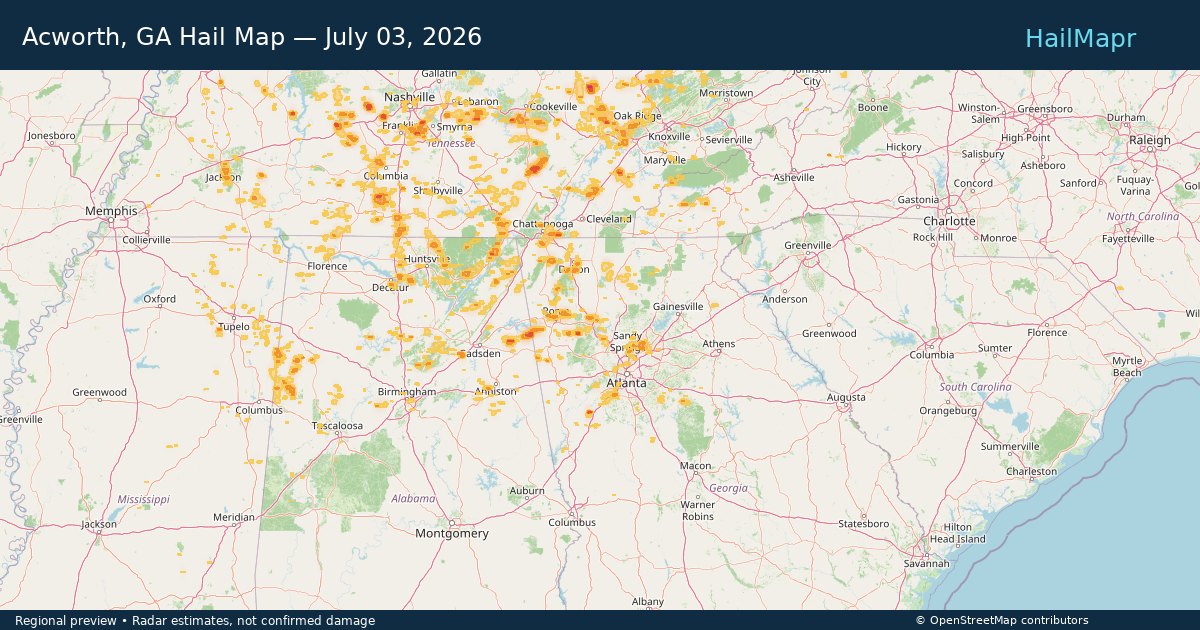
Acworth, GA — July 03, 2026 — regional hail footprint preview
Storm footprint preview

Local hail summary for the Acworth area: 0.60 square miles of estimated ground-hail footprint; highest mapped band 1+ inches. 0 official hail report(s) within the summary area. Exposure estimates are not confirmed property damage. Open the map to explore the full coverage included in your access. Statistics cover the mapped hail footprint inside the Census boundary of Acworth, GA, not the entire region. The place had 22,440 residents in the 2020 Census. A boundary intersection does not mean the whole community was hit. Estimated housing exposure: 1,036 units in 1-inch-or-larger bands, including 0 in 1.5-inch-or-larger bands and 0 in 2-inch-or-larger bands.

Affected states: Acworth area, GA
1+ inRadar size estimate 3,519Population Affected 1,353Houses Affected HailHazards FreeAccount signup
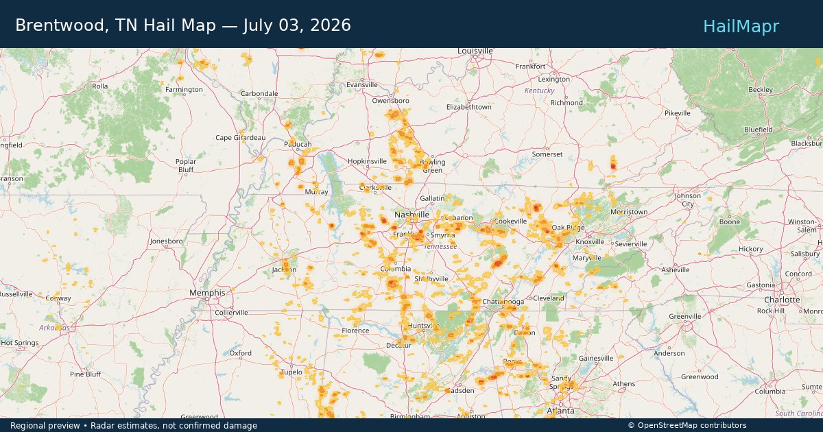
Brentwood, TN — July 03, 2026 — regional hail footprint preview
Storm footprint preview

Local hail summary for the Brentwood area: 7.33 square miles of estimated ground-hail footprint; highest mapped band 1+ inches. 0 official hail report(s) within the summary area. Exposure estimates are not confirmed property damage. Open the map to explore the full coverage included in your access. Statistics cover the mapped hail footprint inside the Census boundary of Brentwood, TN, not the entire region. The place had 45,373 residents in the 2020 Census. A boundary intersection does not mean the whole community was hit. Estimated housing exposure: 1,198 units in 1-inch-or-larger bands, including 0 in 1.5-inch-or-larger bands and 0 in 2-inch-or-larger bands.

Affected states: Brentwood area, TN
1+ inRadar size estimate 7,543Population Affected 2,307Houses Affected HailHazards FreeAccount signup
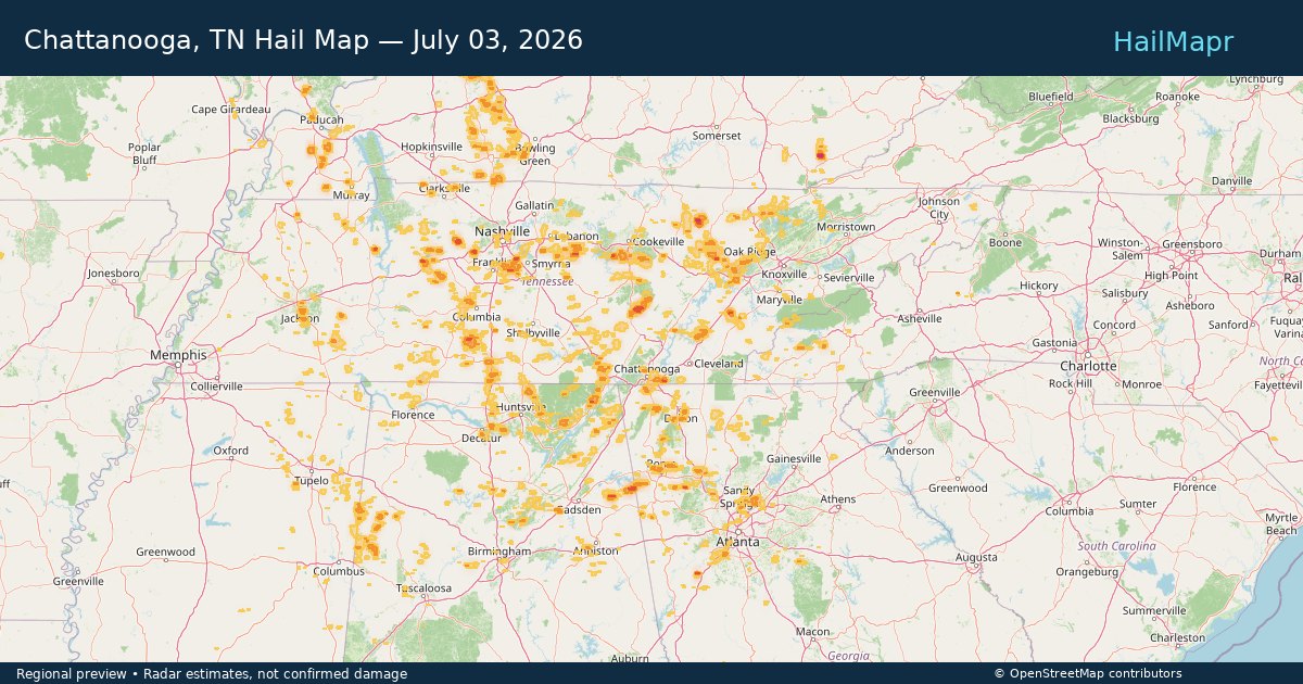
Chattanooga, TN — July 03, 2026 — regional hail footprint preview
Storm footprint preview

Local hail summary for the Chattanooga area: 18.81 square miles of estimated ground-hail footprint; highest mapped band 1.5+ inches. 1 official hail report(s) within the summary area. Exposure estimates are not confirmed property damage. Open the map to explore the full coverage included in your access. Statistics cover the mapped hail footprint inside the Census boundary of Chattanooga, TN, not the entire region. The place had 181,099 residents in the 2020 Census. A boundary intersection does not mean the whole community was hit. Estimated housing exposure: 6,713 units in 1-inch-or-larger bands, including 967 in 1.5-inch-or-larger bands and 0 in 2-inch-or-larger bands.

Affected states: Chattanooga area, TN
1.5+ inRadar size estimate 36,526Population Affected 17,149Houses Affected HailHazards FreeAccount signup
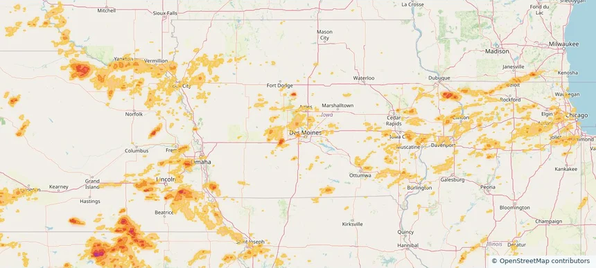
Clive, IA — July 03, 2026 — regional hail footprint preview
Storm footprint preview

Local hail summary for the Clive area: 1.80 square miles of estimated ground-hail footprint; highest mapped band 1+ inches. 0 official hail report(s) within the summary area. Exposure estimates are not confirmed property damage. Open the map to explore the full coverage included in your access. Statistics cover the mapped hail footprint inside the Census boundary of Clive, IA, not the entire region. The place had 18,601 residents in the 2020 Census. A boundary intersection does not mean the whole community was hit. Estimated housing exposure: 949 units in 1-inch-or-larger bands, including 0 in 1.5-inch-or-larger bands and 0 in 2-inch-or-larger bands.

Affected states: Clive area, IA
1+ inRadar size estimate 3,484Population Affected 1,466Houses Affected HailHazards FreeAccount signup
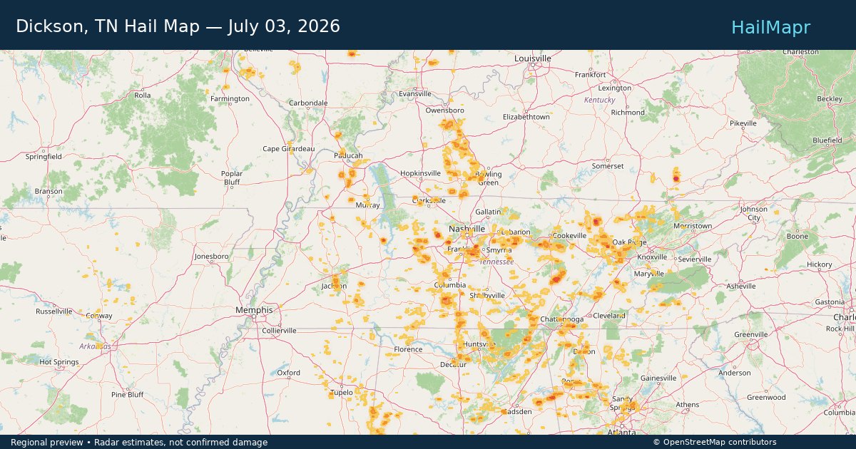
Dickson, TN — July 03, 2026 — regional hail footprint preview
Storm footprint preview

Local hail summary for the Dickson area: 3.38 square miles of estimated ground-hail footprint; highest mapped band 1+ inches. 0 official hail report(s) within the summary area. Exposure estimates are not confirmed property damage. Open the map to explore the full coverage included in your access. Statistics cover the mapped hail footprint inside the Census boundary of Dickson, TN, not the entire region. The place had 16,058 residents in the 2020 Census. A boundary intersection does not mean the whole community was hit. Estimated housing exposure: 612 units in 1-inch-or-larger bands, including 0 in 1.5-inch-or-larger bands and 0 in 2-inch-or-larger bands.

Affected states: Dickson area, TN
1+ inRadar size estimate 3,859Population Affected 1,616Houses Affected HailHazards FreeAccount signup
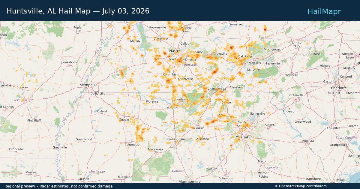
Huntsville, AL — July 03, 2026 — regional hail footprint preview
Storm footprint preview

Local hail summary for the Huntsville area: 6.59 square miles of estimated ground-hail footprint; highest mapped band 1+ inches. 0 official hail report(s) within the summary area. Exposure estimates are not confirmed property damage. Open the map to explore the full coverage included in your access. Statistics cover the mapped hail footprint inside the Census boundary of Huntsville, AL, not the entire region. The place had 215,006 residents in the 2020 Census. A boundary intersection does not mean the whole community was hit. Estimated housing exposure: 531 units in 1-inch-or-larger bands, including 0 in 1.5-inch-or-larger bands and 0 in 2-inch-or-larger bands.

Affected states: Huntsville area, AL
1+ inRadar size estimate 1,267Population Affected 844Houses Affected HailHazards FreeAccount signup
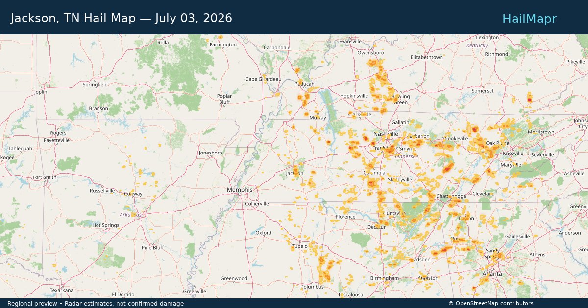
Jackson, TN — July 03, 2026 — regional hail footprint preview
Storm footprint preview

Local hail summary for the Jackson area: 5.42 square miles of estimated ground-hail footprint; highest mapped band 1+ inches. 0 official hail report(s) within the summary area. Exposure estimates are not confirmed property damage. Open the map to explore the full coverage included in your access. Statistics cover the mapped hail footprint inside the Census boundary of Jackson, TN, not the entire region. The place had 68,205 residents in the 2020 Census. A boundary intersection does not mean the whole community was hit. Estimated housing exposure: 823 units in 1-inch-or-larger bands, including 0 in 1.5-inch-or-larger bands and 0 in 2-inch-or-larger bands.

Affected states: Jackson area, TN
1+ inRadar size estimate 7,086Population Affected 2,915Houses Affected HailHazards FreeAccount signup
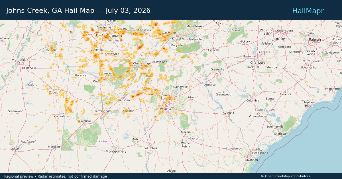
Johns Creek, GA — July 03, 2026 — regional hail footprint preview
Storm footprint preview

Local hail summary for the Johns Creek area: 7.85 square miles of estimated ground-hail footprint; highest mapped band 1+ inches. 0 official hail report(s) within the summary area. Exposure estimates are not confirmed property damage. Open the map to explore the full coverage included in your access. Statistics cover the mapped hail footprint inside the Census boundary of Johns Creek, GA, not the entire region. The place had 82,453 residents in the 2020 Census. A boundary intersection does not mean the whole community was hit. Estimated housing exposure: 3,144 units in 1-inch-or-larger bands, including 0 in 1.5-inch-or-larger bands and 0 in 2-inch-or-larger bands.

Affected states: Johns Creek area, GA
1+ inRadar size estimate 17,377Population Affected 5,836Houses Affected HailHazards FreeAccount signup
Page 28 of 99
‹ 1 27 28 29 99 ›

Frequently asked questions

Can I search hail maps by coverage area?

Yes. The storm library supports coverage-area filtering so you can find hail maps and hail swaths in a target service area.

What kinds of storms appear in the HailMapr library?

The library focuses on published hail events, including ready storm maps and live storms once hail has been detected and a public swath is available.

Are HailMapr storm pages useful for roofers and adjusters?

Yes. They are built to help roofers, adjusters, restoration teams, and property owners review storm footprints before purchase.