
Storm library

Browse live and recent hail maps.

Review storm footprints, hail swaths, reports, and replay access. Create a free account to save your setup and move into map access when a storm matters.

Search filters
Clear
Newest storms first by default.
Don't see your storm? Request a qualifying storm map and we'll email you when it is ready.
Showing 625-648 of 2368 storms · Page 27 of 99
‹ 1 26 27 28 99 ›
Request a storm map

Tell us about the storm and we'll build the map. Once it's published you'll get an email and can purchase it from the library — just like any other event.

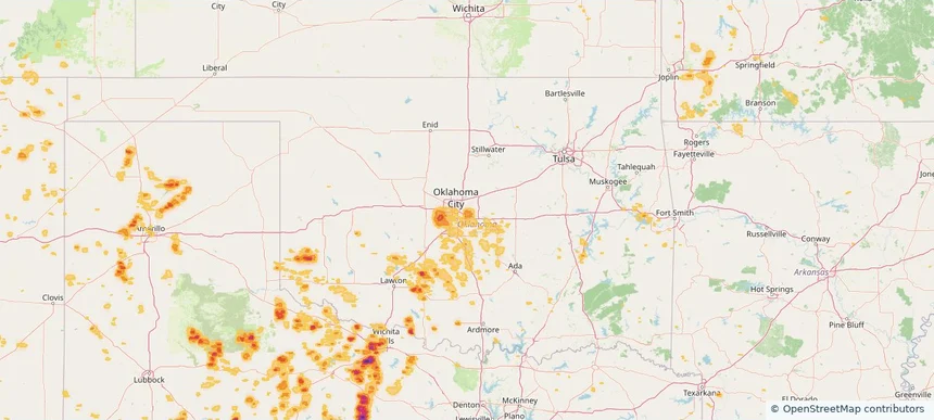
Midwest City, OK — July 05, 2026 — regional hail footprint preview
Storm footprint preview

Local hail summary for the Midwest City area: 11.03 square miles of estimated ground-hail footprint; highest mapped band 1+ inches. 0 official hail report(s) within the summary area. Exposure estimates are not confirmed property damage. Open the map to explore the full coverage included in your access. Statistics cover the mapped hail footprint inside the Census boundary of Midwest City, OK, not the entire region. The place had 58,409 residents in the 2020 Census. A boundary intersection does not mean the whole community was hit. Estimated housing exposure: 3,202 units in 1-inch-or-larger bands, including 0 in 1.5-inch-or-larger bands and 0 in 2-inch-or-larger bands.

Affected states: Midwest City area, OK
1+ inRadar size estimate 22,080Population Affected 9,147Houses Affected HailHazards FreeAccount signup
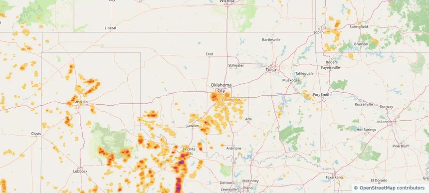
Mustang, OK — July 05, 2026 — regional hail footprint preview
Storm footprint preview

Local hail summary for the Mustang area: 12.01 square miles of estimated ground-hail footprint; highest mapped band 1.5+ inches. 0 official hail report(s) within the summary area. Exposure estimates are not confirmed property damage. Open the map to explore the full coverage included in your access. Statistics cover the mapped hail footprint inside the Census boundary of Mustang, OK, not the entire region. The place had 19,879 residents in the 2020 Census. A boundary intersection does not mean the whole community was hit. Estimated housing exposure: 6,955 units in 1-inch-or-larger bands, including 5,011 in 1.5-inch-or-larger bands and 0 in 2-inch-or-larger bands.

Affected states: Mustang area, OK
1.5+ inRadar size estimate 19,879Population Affected 7,777Houses Affected HailHazards FreeAccount signup
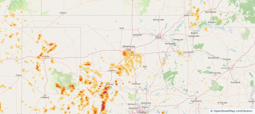
Newcastle, OK — July 05, 2026 — regional hail footprint preview
Storm footprint preview

Local hail summary for the Newcastle area: 9.13 square miles of estimated ground-hail footprint; highest mapped band 1+ inches. 0 official hail report(s) within the summary area. Exposure estimates are not confirmed property damage. Open the map to explore the full coverage included in your access. Statistics cover the mapped hail footprint inside the Census boundary of Newcastle, OK, not the entire region. The place had 10,984 residents in the 2020 Census. A boundary intersection does not mean the whole community was hit. Estimated housing exposure: 316 units in 1-inch-or-larger bands, including 0 in 1.5-inch-or-larger bands and 0 in 2-inch-or-larger bands.

Affected states: Newcastle area, OK
1+ inRadar size estimate 1,345Population Affected 467Houses Affected HailHazards FreeAccount signup
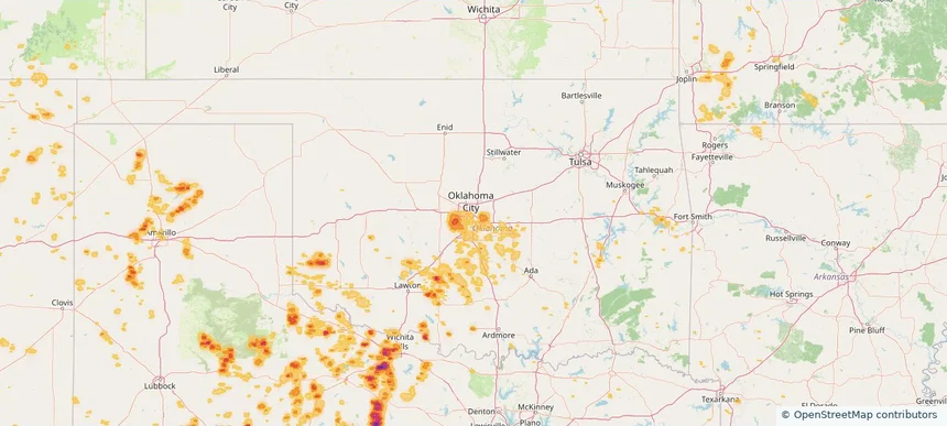
Oklahoma City, OK — July 05, 2026 — regional hail footprint preview
Storm footprint preview

Local hail summary for the Oklahoma City area: 83.47 square miles of estimated ground-hail footprint; highest mapped band 1.5+ inches. 0 official hail report(s) within the summary area. Exposure estimates are not confirmed property damage. Open the map to explore the full coverage included in your access. Statistics cover the mapped hail footprint inside the Census boundary of Oklahoma City, OK, not the entire region. The place had 681,054 residents in the 2020 Census. A boundary intersection does not mean the whole community was hit. Estimated housing exposure: 14,599 units in 1-inch-or-larger bands, including 235 in 1.5-inch-or-larger bands and 0 in 2-inch-or-larger bands.

Affected states: Oklahoma City area, OK
1.5+ inRadar size estimate 55,597Population Affected 21,387Houses Affected HailHazards FreeAccount signup
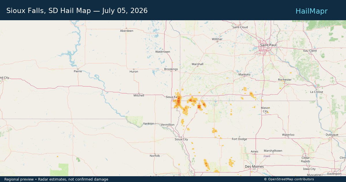
Sioux Falls, SD — July 05, 2026 — regional hail footprint preview
Storm footprint preview

Local hail summary for the Sioux Falls area: 2.32 square miles of estimated ground-hail footprint; highest mapped band 1+ inches. 0 official hail report(s) within the summary area. Exposure estimates are not confirmed property damage. Open the map to explore the full coverage included in your access. Statistics cover the mapped hail footprint inside the Census boundary of Sioux Falls, SD, not the entire region. The place had 192,517 residents in the 2020 Census. A boundary intersection does not mean the whole community was hit. Estimated housing exposure: 344 units in 1-inch-or-larger bands, including 0 in 1.5-inch-or-larger bands and 0 in 2-inch-or-larger bands.

Affected states: Sioux Falls area, SD
1+ inRadar size estimate 2,828Population Affected 1,715Houses Affected HailHazards FreeAccount signup
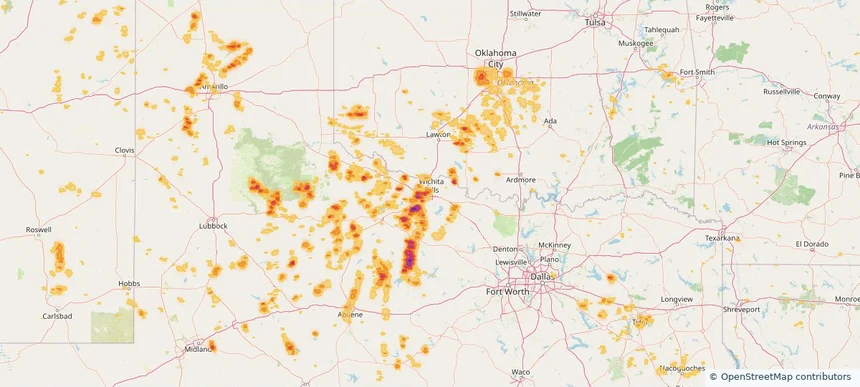
Wichita Falls, TX — July 05, 2026 — regional hail footprint preview
Storm footprint preview

Local hail summary for the Wichita Falls area: 22.36 square miles of estimated ground-hail footprint; highest mapped band 1.5+ inches. 0 official hail report(s) within the summary area. Exposure estimates are not confirmed property damage. Open the map to explore the full coverage included in your access. Statistics cover the mapped hail footprint inside the Census boundary of Wichita Falls, TX, not the entire region. The place had 102,316 residents in the 2020 Census. A boundary intersection does not mean the whole community was hit. Estimated housing exposure: 3,662 units in 1-inch-or-larger bands, including 163 in 1.5-inch-or-larger bands and 0 in 2-inch-or-larger bands.

Affected states: Wichita Falls area, TX
1.5+ inRadar size estimate 15,962Population Affected 6,263Houses Affected HailHazards FreeAccount signup
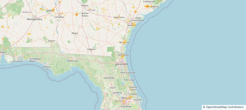
Yulee, FL — July 05, 2026 — regional hail footprint preview
Storm footprint preview

Local hail summary for the Yulee area: 2.62 square miles of estimated ground-hail footprint; highest mapped band 1+ inches. 0 official hail report(s) within the summary area. Exposure estimates are not confirmed property damage. Open the map to explore the full coverage included in your access. Statistics cover the mapped hail footprint inside the Census boundary of Yulee, FL, not the entire region. The place had 14,195 residents in the 2020 Census. A boundary intersection does not mean the whole community was hit. Estimated housing exposure: 116 units in 1-inch-or-larger bands, including 0 in 1.5-inch-or-larger bands and 0 in 2-inch-or-larger bands.

Affected states: Yulee area, FL
1+ inRadar size estimate 2,104Population Affected 810Houses Affected HailHazards FreeAccount signup
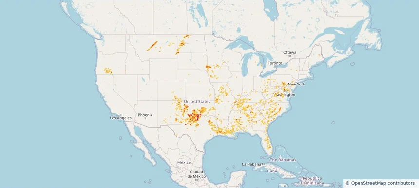
Nationwide Daily Hail, Wind & Tornado Map - July 5, 2026 — regional hail footprint preview
Storm footprint preview
Jul 4, 2026 10:00 PM to Jul 6, 2026 1:45 AM CST

Nationwide Daily Hail, Wind & Tornado Map - July 5, 2026

Hail as large as 1.75 inches was reported near Dougherty, TX. Wind up to 106 mph was reported near 3 miles northwest of Norman, OK. 3 tornadoes were reported, including one near 3 miles northeast of Canfield, OH. The storm had 9 official hail reports.

Affected states: National, AL, AR, CO, DE, FL, GA, ID, IL, IN, IA, KS, KY, LA, MD, MI, MN, MS, MO, MT, NV, NJ, NM, NY, NC, ND, OH, OK, OR, PA, SC, SD, TN, TX, VA, WV
3.0 inRadar size estimate 1,858,247Population Affected 767,500Houses Affected Hail · Wind · TornadoHazards FreeAccount signup
Arkansas City, KS — July 04, 2026 — regional hail footprint preview
Storm footprint preview

Local hail summary for the Arkansas City area: 9.34 square miles of estimated ground-hail footprint; highest mapped band 1+ inches. 0 official hail report(s) within the summary area. Exposure estimates are not confirmed property damage. Open the map to explore the full coverage included in your access. Statistics cover the mapped hail footprint inside the Census boundary of Arkansas City, KS, not the entire region. The place had 11,974 residents in the 2020 Census. A boundary intersection does not mean the whole community was hit. Estimated housing exposure: 760 units in 1-inch-or-larger bands, including 0 in 1.5-inch-or-larger bands and 0 in 2-inch-or-larger bands.

Affected states: Arkansas City area, KS
1+ inRadar size estimate 11,916Population Affected 5,351Houses Affected HailHazards FreeAccount signup
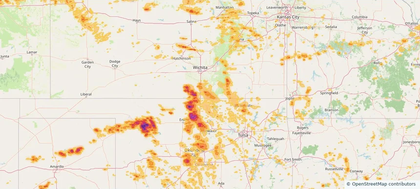
Bartlesville, OK — July 04, 2026 — regional hail footprint preview
Storm footprint preview

Local hail summary for the Bartlesville area: 15.20 square miles of estimated ground-hail footprint; highest mapped band 1+ inches. 1 official hail report(s) within the summary area. Exposure estimates are not confirmed property damage. Open the map to explore the full coverage included in your access. Statistics cover the mapped hail footprint inside the Census boundary of Bartlesville, OK, not the entire region. The place had 37,290 residents in the 2020 Census. A boundary intersection does not mean the whole community was hit. Estimated housing exposure: 6,072 units in 1-inch-or-larger bands, including 0 in 1.5-inch-or-larger bands and 0 in 2-inch-or-larger bands.

Affected states: Bartlesville area, OK
1+ inRadar size estimate 25,485Population Affected 11,769Houses Affected HailHazards FreeAccount signup
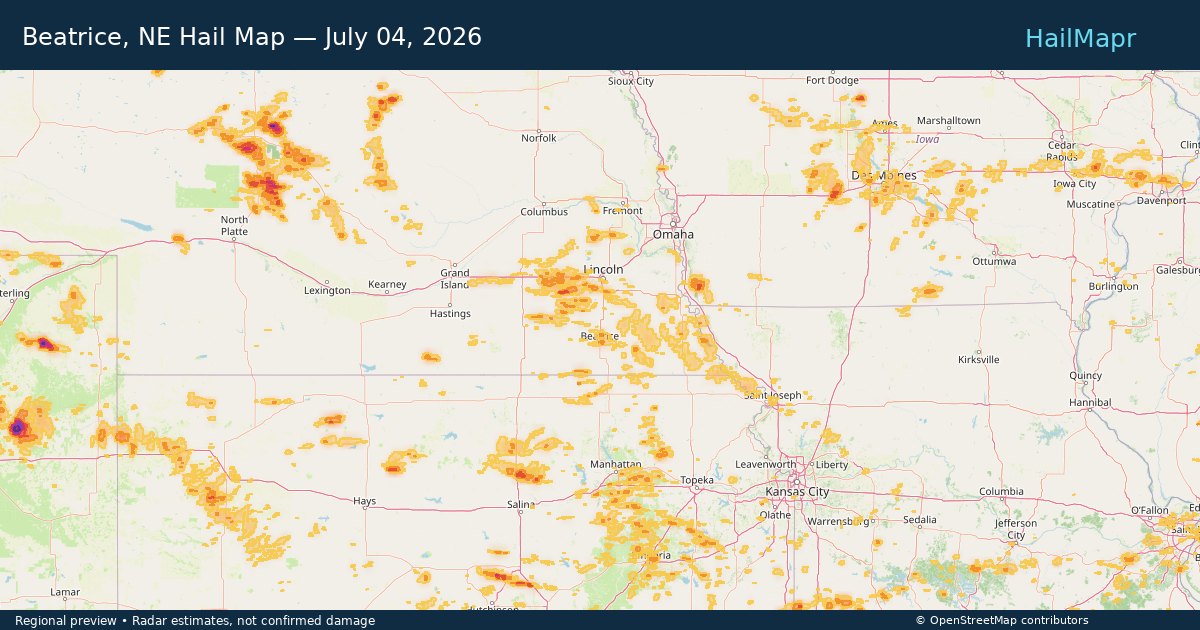
Beatrice, NE — July 04, 2026 — regional hail footprint preview
Storm footprint preview

Local hail summary for the Beatrice area: 2.89 square miles of estimated ground-hail footprint; highest mapped band 1+ inches. 0 official hail report(s) within the summary area. Exposure estimates are not confirmed property damage. Open the map to explore the full coverage included in your access. Statistics cover the mapped hail footprint inside the Census boundary of Beatrice, NE, not the entire region. The place had 12,261 residents in the 2020 Census. A boundary intersection does not mean the whole community was hit. Estimated housing exposure: 2,122 units in 1-inch-or-larger bands, including 0 in 1.5-inch-or-larger bands and 0 in 2-inch-or-larger bands.

Affected states: Beatrice area, NE
1+ inRadar size estimate 7,655Population Affected 3,732Houses Affected HailHazards FreeAccount signup
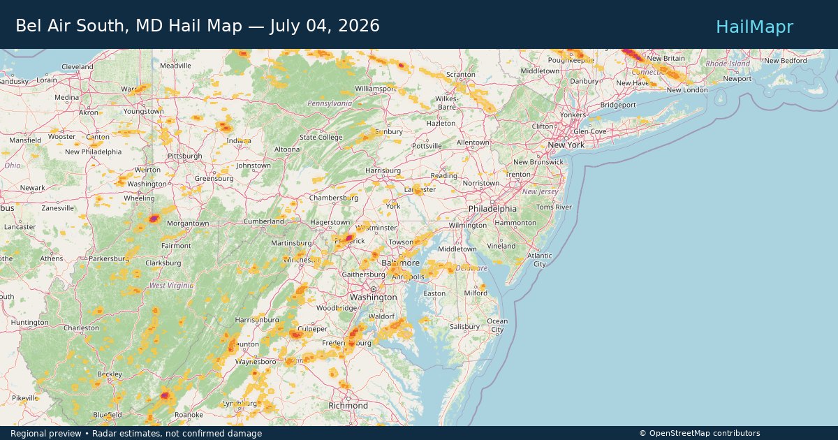
Bel Air South, MD — July 04, 2026 — regional hail footprint preview
Storm footprint preview

Local hail summary for the Bel Air South area: 1.13 square miles of estimated ground-hail footprint; highest mapped band 1+ inches. 0 official hail report(s) within the summary area. Exposure estimates are not confirmed property damage. Open the map to explore the full coverage included in your access. Statistics cover the mapped hail footprint inside the Census boundary of Bel Air South, MD, not the entire region. The place had 57,648 residents in the 2020 Census. A boundary intersection does not mean the whole community was hit. Estimated housing exposure: 1,347 units in 1-inch-or-larger bands, including 0 in 1.5-inch-or-larger bands and 0 in 2-inch-or-larger bands.

Affected states: Bel Air South area, MD
1+ inRadar size estimate 7,325Population Affected 2,973Houses Affected HailHazards FreeAccount signup
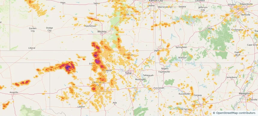
Bethany, OK — July 04, 2026 — regional hail footprint preview
Storm footprint preview

Local hail summary for the Bethany area: 2.83 square miles of estimated ground-hail footprint; highest mapped band 1+ inches. 0 official hail report(s) within the summary area. Exposure estimates are not confirmed property damage. Open the map to explore the full coverage included in your access. Statistics cover the mapped hail footprint inside the Census boundary of Bethany, OK, not the entire region. The place had 20,831 residents in the 2020 Census. A boundary intersection does not mean the whole community was hit. Estimated housing exposure: 1,328 units in 1-inch-or-larger bands, including 0 in 1.5-inch-or-larger bands and 0 in 2-inch-or-larger bands.

Affected states: Bethany area, OK
1+ inRadar size estimate 8,941Population Affected 3,808Houses Affected HailHazards FreeAccount signup
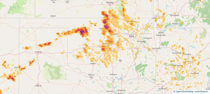
Borger, TX — July 04, 2026 — regional hail footprint preview
Storm footprint preview

Local hail summary for the Borger area: 8.77 square miles of estimated ground-hail footprint; highest mapped band 2+ inches. 1 official hail report(s) within the summary area. Exposure estimates are not confirmed property damage. Open the map to explore the full coverage included in your access. Statistics cover the mapped hail footprint inside the Census boundary of Borger, TX, not the entire region. The place had 12,551 residents in the 2020 Census. A boundary intersection does not mean the whole community was hit. Estimated housing exposure: 6,143 units in 1-inch-or-larger bands, including 4,701 in 1.5-inch-or-larger bands and 604 in 2-inch-or-larger bands.

Affected states: Borger area, TX
2+ inRadar size estimate 12,551Population Affected 6,143Houses Affected HailHazards FreeAccount signup
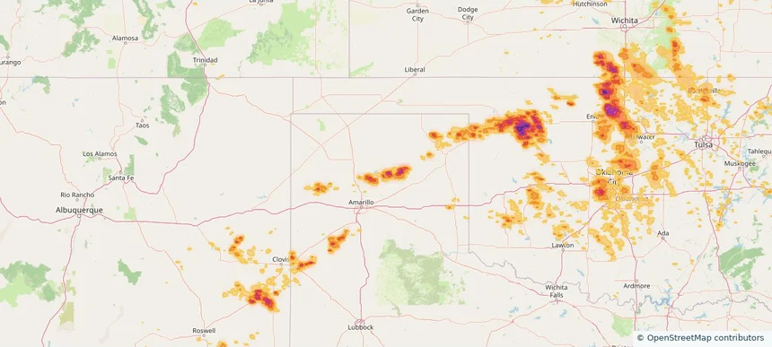
Bristol, CT — July 04, 2026 — regional hail footprint preview
Storm footprint preview

Local hail summary for the Bristol area: 20.73 square miles of estimated ground-hail footprint; highest mapped band 2+ inches. 1 official hail report(s) within the summary area. Exposure estimates are not confirmed property damage. Open the map to explore the full coverage included in your access. Statistics cover the mapped hail footprint inside the Census boundary of Bristol, CT, not the entire region. The place had 60,833 residents in the 2020 Census. A boundary intersection does not mean the whole community was hit. Estimated housing exposure: 23,125 units in 1-inch-or-larger bands, including 16,580 in 1.5-inch-or-larger bands and 794 in 2-inch-or-larger bands.

Affected states: Bristol area, CT
2+ inRadar size estimate 54,501Population Affected 24,511Houses Affected HailHazards FreeAccount signup
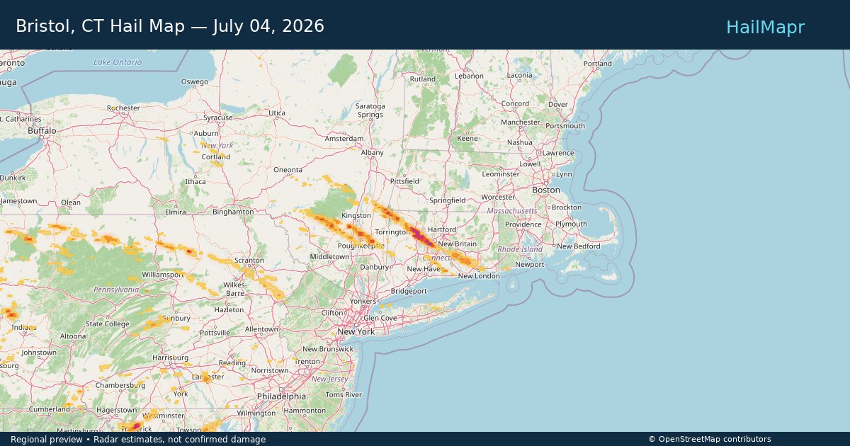
Clive, IA — July 04, 2026 — regional hail footprint preview
Storm footprint preview

Local hail summary for the Clive area: 1.80 square miles of estimated ground-hail footprint; highest mapped band 1+ inches. 0 official hail report(s) within the summary area. Exposure estimates are not confirmed property damage. Open the map to explore the full coverage included in your access. Statistics cover the mapped hail footprint inside the Census boundary of Clive, IA, not the entire region. The place had 18,601 residents in the 2020 Census. A boundary intersection does not mean the whole community was hit. Estimated housing exposure: 949 units in 1-inch-or-larger bands, including 0 in 1.5-inch-or-larger bands and 0 in 2-inch-or-larger bands.

Affected states: Clive area, IA
1+ inRadar size estimate 3,484Population Affected 1,466Houses Affected HailHazards FreeAccount signup
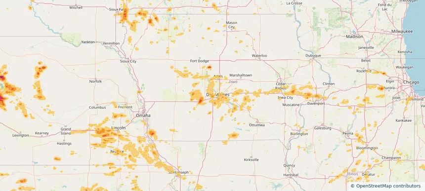
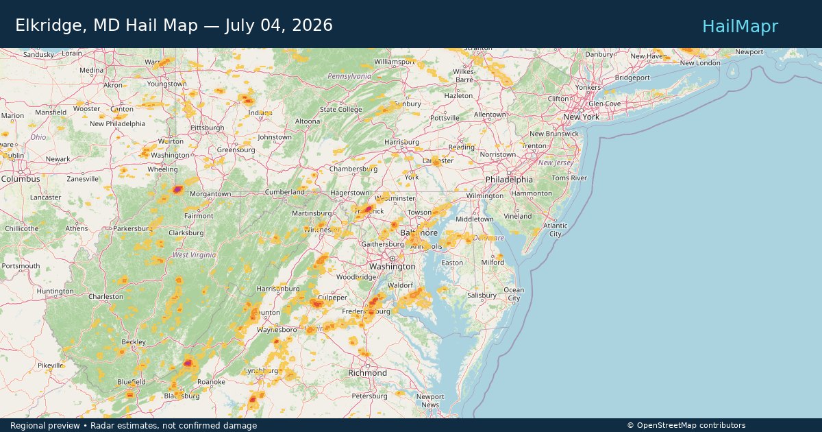
Elkridge, MD — July 04, 2026 — regional hail footprint preview
Storm footprint preview

Local hail summary for the Elkridge area: 0.41 square miles of estimated ground-hail footprint; highest mapped band 1+ inches. 0 official hail report(s) within the summary area. Exposure estimates are not confirmed property damage. Open the map to explore the full coverage included in your access. Statistics cover the mapped hail footprint inside the Census boundary of Elkridge, MD, not the entire region. The place had 25,171 residents in the 2020 Census. A boundary intersection does not mean the whole community was hit. Estimated housing exposure: 156 units in 1-inch-or-larger bands, including 0 in 1.5-inch-or-larger bands and 0 in 2-inch-or-larger bands.

Affected states: Elkridge area, MD
1+ inRadar size estimate 578Population Affected 184Houses Affected HailHazards FreeAccount signup
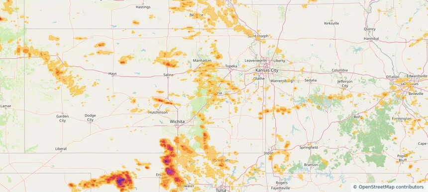
Emporia, KS — July 04, 2026 — regional hail footprint preview
Storm footprint preview

Local hail summary for the Emporia area: 1.67 square miles of estimated ground-hail footprint; highest mapped band 1+ inches. 0 official hail report(s) within the summary area. Exposure estimates are not confirmed property damage. Open the map to explore the full coverage included in your access. Statistics cover the mapped hail footprint inside the Census boundary of Emporia, KS, not the entire region. The place had 24,139 residents in the 2020 Census. A boundary intersection does not mean the whole community was hit. Estimated housing exposure: 1,035 units in 1-inch-or-larger bands, including 0 in 1.5-inch-or-larger bands and 0 in 2-inch-or-larger bands.

Affected states: Emporia area, KS
1+ inRadar size estimate 4,889Population Affected 2,397Houses Affected HailHazards FreeAccount signup
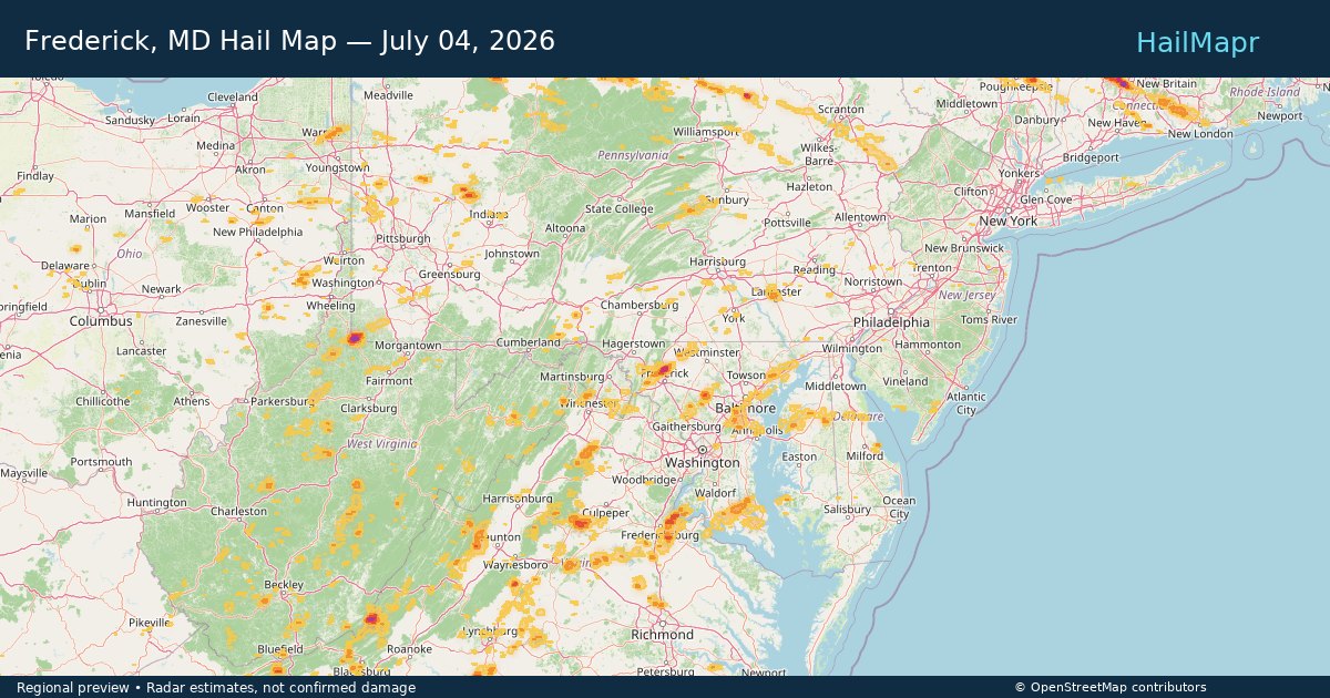
Frederick, MD — July 04, 2026 — regional hail footprint preview
Storm footprint preview

Local hail summary for the Frederick area: 1.23 square miles of estimated ground-hail footprint; highest mapped band 1+ inches. 0 official hail report(s) within the summary area. Exposure estimates are not confirmed property damage. Open the map to explore the full coverage included in your access. Statistics cover the mapped hail footprint inside the Census boundary of Frederick, MD, not the entire region. The place had 78,171 residents in the 2020 Census. A boundary intersection does not mean the whole community was hit. Estimated housing exposure: 402 units in 1-inch-or-larger bands, including 0 in 1.5-inch-or-larger bands and 0 in 2-inch-or-larger bands.

Affected states: Frederick area, MD
1+ inRadar size estimate 1,399Population Affected 430Houses Affected HailHazards FreeAccount signup
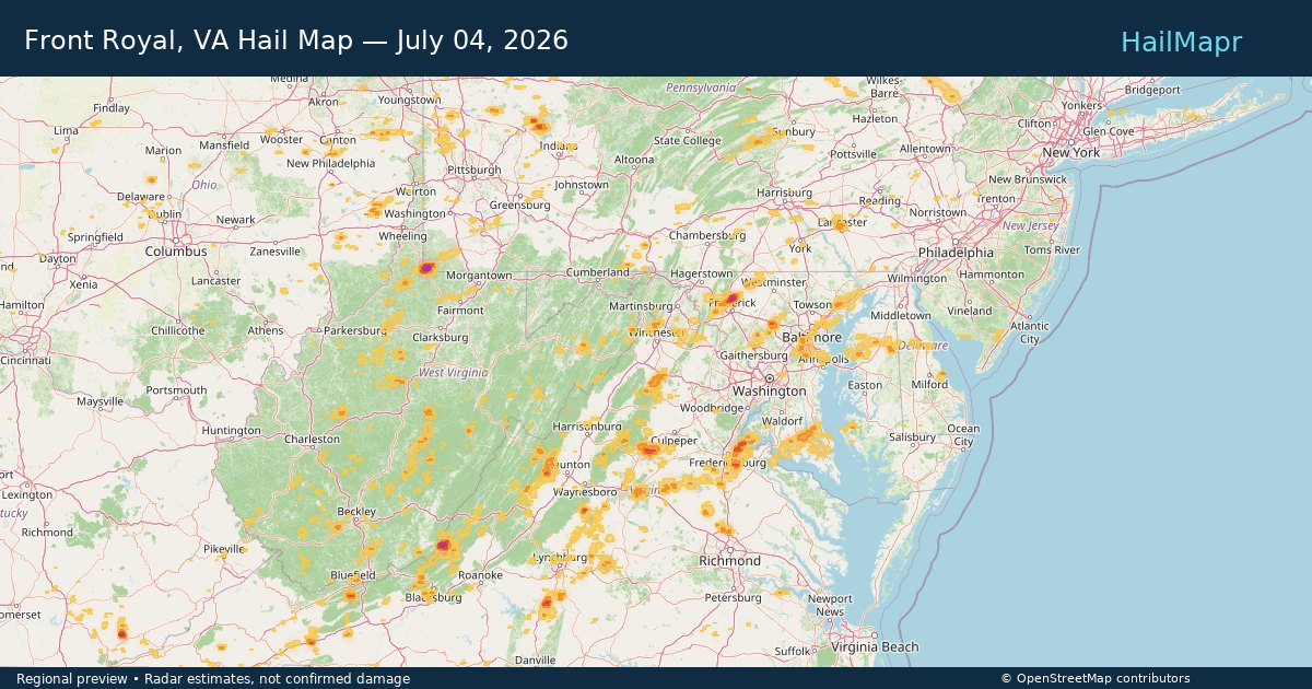
Front Royal, VA — July 04, 2026 — regional hail footprint preview
Storm footprint preview

Local hail summary for the Front Royal area: 2.93 square miles of estimated ground-hail footprint; highest mapped band 1+ inches. 0 official hail report(s) within the summary area. Exposure estimates are not confirmed property damage. Open the map to explore the full coverage included in your access. Statistics cover the mapped hail footprint inside the Census boundary of Front Royal, VA, not the entire region. The place had 15,011 residents in the 2020 Census. A boundary intersection does not mean the whole community was hit. Estimated housing exposure: 376 units in 1-inch-or-larger bands, including 0 in 1.5-inch-or-larger bands and 0 in 2-inch-or-larger bands.

Affected states: Front Royal area, VA
1+ inRadar size estimate 3,176Population Affected 1,302Houses Affected HailHazards FreeAccount signup
Guthrie, OK — July 04, 2026 — regional hail footprint preview
Storm footprint preview

Local hail summary for the Guthrie area: 9.50 square miles of estimated ground-hail footprint; highest mapped band 1+ inches. 0 official hail report(s) within the summary area. Exposure estimates are not confirmed property damage. Open the map to explore the full coverage included in your access. Statistics cover the mapped hail footprint inside the Census boundary of Guthrie, OK, not the entire region. The place had 10,749 residents in the 2020 Census. A boundary intersection does not mean the whole community was hit. Estimated housing exposure: 627 units in 1-inch-or-larger bands, including 0 in 1.5-inch-or-larger bands and 0 in 2-inch-or-larger bands.

Affected states: Guthrie area, OK
1+ inRadar size estimate 3,040Population Affected 1,507Houses Affected HailHazards FreeAccount signup
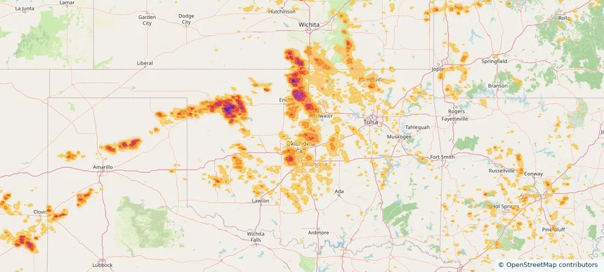
Huntley, IL — July 04, 2026 — regional hail footprint preview
Storm footprint preview

Local hail summary for the Huntley area: 2.95 square miles of estimated ground-hail footprint; highest mapped band 1.5+ inches. 0 official hail report(s) within the summary area. Exposure estimates are not confirmed property damage. Open the map to explore the full coverage included in your access. Statistics cover the mapped hail footprint inside the Census boundary of Huntley, IL, not the entire region. The place had 27,740 residents in the 2020 Census. A boundary intersection does not mean the whole community was hit. Estimated housing exposure: 3,149 units in 1-inch-or-larger bands, including 681 in 1.5-inch-or-larger bands and 0 in 2-inch-or-larger bands.

Affected states: Huntley area, IL
1.5+ inRadar size estimate 6,200Population Affected 3,954Houses Affected HailHazards FreeAccount signup
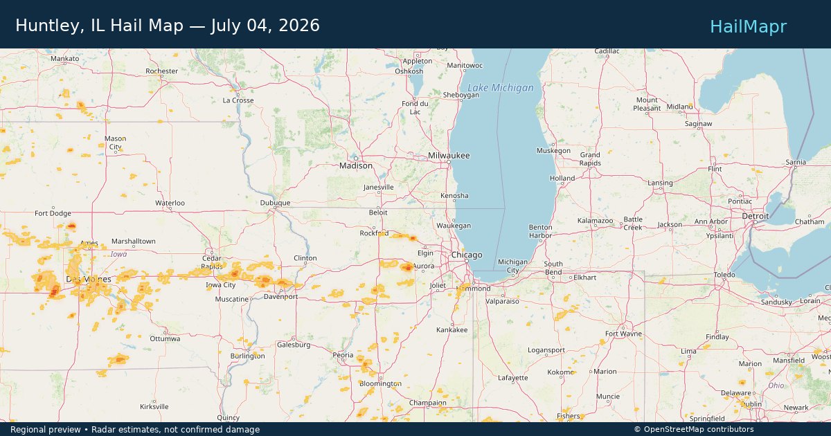
Memphis, TN — July 04, 2026 — regional hail footprint preview
Storm footprint preview

Local hail summary for the Memphis area: 1.72 square miles of estimated ground-hail footprint; highest mapped band 1+ inches. 0 official hail report(s) within the summary area. Exposure estimates are not confirmed property damage. Open the map to explore the full coverage included in your access. Statistics cover the mapped hail footprint inside the Census boundary of Memphis, TN, not the entire region. The place had 633,104 residents in the 2020 Census. A boundary intersection does not mean the whole community was hit. Estimated housing exposure: 596 units in 1-inch-or-larger bands, including 0 in 1.5-inch-or-larger bands and 0 in 2-inch-or-larger bands.

Affected states: Memphis area, TN
1+ inRadar size estimate 6,248Population Affected 2,631Houses Affected HailHazards FreeAccount signup
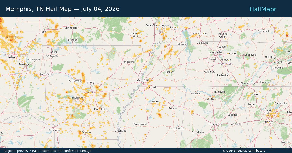
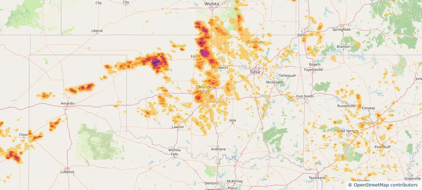
Midwest City, OK — July 04, 2026 — regional hail footprint preview
Storm footprint preview

Local hail summary for the Midwest City area: 12.23 square miles of estimated ground-hail footprint; highest mapped band 1+ inches. 0 official hail report(s) within the summary area. Exposure estimates are not confirmed property damage. Open the map to explore the full coverage included in your access. Statistics cover the mapped hail footprint inside the Census boundary of Midwest City, OK, not the entire region. The place had 58,409 residents in the 2020 Census. A boundary intersection does not mean the whole community was hit. Estimated housing exposure: 3,299 units in 1-inch-or-larger bands, including 0 in 1.5-inch-or-larger bands and 0 in 2-inch-or-larger bands.

Affected states: Midwest City area, OK
1+ inRadar size estimate 23,966Population Affected 9,995Houses Affected HailHazards FreeAccount signup
Page 27 of 99
‹ 1 26 27 28 99 ›

Frequently asked questions

Can I search hail maps by coverage area?

Yes. The storm library supports coverage-area filtering so you can find hail maps and hail swaths in a target service area.

What kinds of storms appear in the HailMapr library?

The library focuses on published hail events, including ready storm maps and live storms once hail has been detected and a public swath is available.

Are HailMapr storm pages useful for roofers and adjusters?

Yes. They are built to help roofers, adjusters, restoration teams, and property owners review storm footprints before purchase.