
Storm library

Browse live and recent hail maps.

Review storm footprints, hail swaths, reports, and replay access. Create a free account to save your setup and move into map access when a storm matters.

Search filters
Clear
Newest storms first by default.
Don't see your storm? Request a qualifying storm map and we'll email you when it is ready.
Showing 481-504 of 2367 storms · Page 21 of 99
‹ 1 20 21 22 99 ›
Request a storm map

Tell us about the storm and we'll build the map. Once it's published you'll get an email and can purchase it from the library — just like any other event.

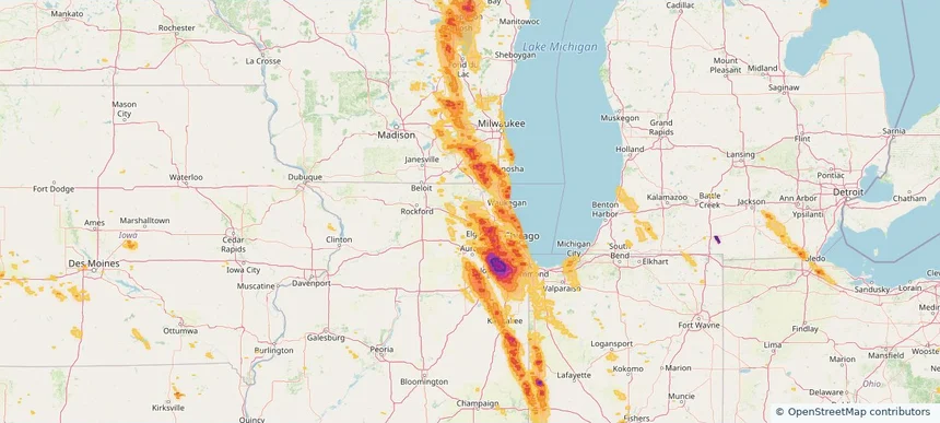
Lake in the Hills, IL — July 27, 2026 — regional hail footprint preview
Storm footprint preview

Local hail summary for the Lake in the Hills area: 0.61 square miles of estimated ground-hail footprint; highest mapped band 1+ inches. 0 official hail report(s) within the summary area. Exposure estimates are not confirmed property damage. Open the map to explore the full coverage included in your access. Statistics cover the mapped hail footprint inside the Census boundary of Lake in the Hills, IL, not the entire region. The place had 28,982 residents in the 2020 Census. A boundary intersection does not mean the whole community was hit. Estimated housing exposure: 511 units in 1-inch-or-larger bands, including 0 in 1.5-inch-or-larger bands and 0 in 2-inch-or-larger bands.

Affected states: Lake in the Hills area, IL
1+ inRadar size estimate 1,876Population Affected 806Houses Affected HailHazards FreeAccount signup
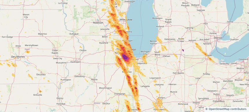
Lemont, IL — July 27, 2026 — regional hail footprint preview
Storm footprint preview

Local hail summary for the Lemont area: 8.72 square miles of estimated ground-hail footprint; highest mapped band 2.5+ inches. 0 official hail report(s) within the summary area. Exposure estimates are not confirmed property damage. Open the map to explore the full coverage included in your access. Statistics cover the mapped hail footprint inside the Census boundary of Lemont, IL, not the entire region. The place had 17,629 residents in the 2020 Census. A boundary intersection does not mean the whole community was hit. Estimated housing exposure: 6,617 units in 1-inch-or-larger bands, including 6,617 in 1.5-inch-or-larger bands and 6,617 in 2-inch-or-larger bands.

Affected states: Lemont area, IL
2.5+ inRadar size estimate 17,135Population Affected 6,617Houses Affected HailHazards FreeAccount signup
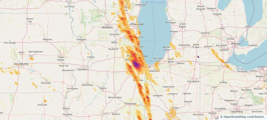
Lisle, IL — July 27, 2026 — regional hail footprint preview
Storm footprint preview

Local hail summary for the Lisle area: 7.01 square miles of estimated ground-hail footprint; highest mapped band 1.5+ inches. 0 official hail report(s) within the summary area. Exposure estimates are not confirmed property damage. Open the map to explore the full coverage included in your access. Statistics cover the mapped hail footprint inside the Census boundary of Lisle, IL, not the entire region. The place had 24,223 residents in the 2020 Census. A boundary intersection does not mean the whole community was hit. Estimated housing exposure: 10,895 units in 1-inch-or-larger bands, including 8,293 in 1.5-inch-or-larger bands and 0 in 2-inch-or-larger bands.

Affected states: Lisle area, IL
1.5+ inRadar size estimate 24,024Population Affected 10,895Houses Affected HailHazards FreeAccount signup
Little Chute, WI — July 27, 2026 — regional hail footprint preview
Storm footprint preview

Local hail summary for the Little Chute area: 6.78 square miles of estimated ground-hail footprint; highest mapped band 2+ inches. 0 official hail report(s) within the summary area. Exposure estimates are not confirmed property damage. Open the map to explore the full coverage included in your access. Statistics cover the mapped hail footprint inside the Census boundary of Little Chute, WI, not the entire region. The place had 11,619 residents in the 2020 Census. A boundary intersection does not mean the whole community was hit. Estimated housing exposure: 4,975 units in 1-inch-or-larger bands, including 2,512 in 1.5-inch-or-larger bands and 39 in 2-inch-or-larger bands.

Affected states: Little Chute area, WI
2+ inRadar size estimate 11,543Population Affected 5,101Houses Affected HailHazards FreeAccount signup
Lockport, IL — July 27, 2026 — regional hail footprint preview
Storm footprint preview

Local hail summary for the Lockport area: 11.58 square miles of estimated ground-hail footprint; highest mapped band 2.5+ inches. 0 official hail report(s) within the summary area. Exposure estimates are not confirmed property damage. Open the map to explore the full coverage included in your access. Statistics cover the mapped hail footprint inside the Census boundary of Lockport, IL, not the entire region. The place had 26,094 residents in the 2020 Census. A boundary intersection does not mean the whole community was hit. Estimated housing exposure: 10,021 units in 1-inch-or-larger bands, including 8,733 in 1.5-inch-or-larger bands and 7,072 in 2-inch-or-larger bands.

Affected states: Lockport area, IL
2.5+ inRadar size estimate 25,898Population Affected 10,021Houses Affected HailHazards FreeAccount signup
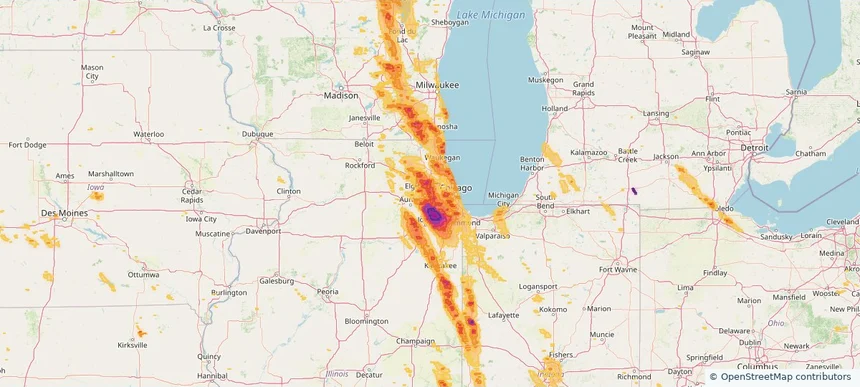
Lombard, IL — July 27, 2026 — regional hail footprint preview
Storm footprint preview

Local hail summary for the Lombard area: 10.40 square miles of estimated ground-hail footprint; highest mapped band 1.5+ inches. 0 official hail report(s) within the summary area. Exposure estimates are not confirmed property damage. Open the map to explore the full coverage included in your access. Statistics cover the mapped hail footprint inside the Census boundary of Lombard, IL, not the entire region. The place had 44,476 residents in the 2020 Census. A boundary intersection does not mean the whole community was hit. Estimated housing exposure: 19,102 units in 1-inch-or-larger bands, including 18,593 in 1.5-inch-or-larger bands and 0 in 2-inch-or-larger bands.

Affected states: Lombard area, IL
1.5+ inRadar size estimate 44,353Population Affected 19,102Houses Affected HailHazards FreeAccount signup
Los Alamos, NM — July 27, 2026 — regional hail footprint preview
Storm footprint preview

Local hail summary for the Los Alamos area: 2.53 square miles of estimated ground-hail footprint; highest mapped band 1+ inches. 0 official hail report(s) within the summary area. Exposure estimates are not confirmed property damage. Open the map to explore the full coverage included in your access. Statistics cover the mapped hail footprint inside the Census boundary of Los Alamos, NM, not the entire region. The place had 13,179 residents in the 2020 Census. A boundary intersection does not mean the whole community was hit. Estimated housing exposure: 544 units in 1-inch-or-larger bands, including 0 in 1.5-inch-or-larger bands and 0 in 2-inch-or-larger bands.

Affected states: Los Alamos area, NM
1+ inRadar size estimate 1,902Population Affected 791Houses Affected HailHazards FreeAccount signup
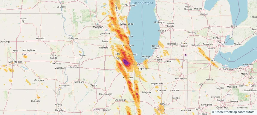
Lyons, IL — July 27, 2026 — regional hail footprint preview
Storm footprint preview

Local hail summary for the Lyons area: 2.24 square miles of estimated ground-hail footprint; highest mapped band 1+ inches. 0 official hail report(s) within the summary area. Exposure estimates are not confirmed property damage. Open the map to explore the full coverage included in your access. Statistics cover the mapped hail footprint inside the Census boundary of Lyons, IL, not the entire region. The place had 10,817 residents in the 2020 Census. A boundary intersection does not mean the whole community was hit. Estimated housing exposure: 156 units in 1-inch-or-larger bands, including 0 in 1.5-inch-or-larger bands and 0 in 2-inch-or-larger bands.

Affected states: Lyons area, IL
1+ inRadar size estimate 10,626Population Affected 4,317Houses Affected HailHazards FreeAccount signup
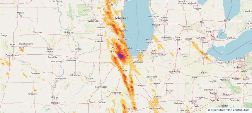
Markham, IL — July 27, 2026 — regional hail footprint preview
Storm footprint preview

Local hail summary for the Markham area: 5.40 square miles of estimated ground-hail footprint; highest mapped band 1.5+ inches. 0 official hail report(s) within the summary area. Exposure estimates are not confirmed property damage. Open the map to explore the full coverage included in your access. Statistics cover the mapped hail footprint inside the Census boundary of Markham, IL, not the entire region. The place had 11,661 residents in the 2020 Census. A boundary intersection does not mean the whole community was hit. Estimated housing exposure: 4,283 units in 1-inch-or-larger bands, including 1,449 in 1.5-inch-or-larger bands and 0 in 2-inch-or-larger bands.

Affected states: Markham area, IL
1.5+ inRadar size estimate 11,661Population Affected 4,283Houses Affected HailHazards FreeAccount signup
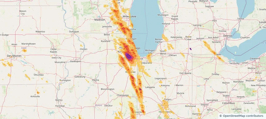
Matteson, IL — July 27, 2026 — regional hail footprint preview
Storm footprint preview

Local hail summary for the Matteson area: 9.32 square miles of estimated ground-hail footprint; highest mapped band 1.5+ inches. 0 official hail report(s) within the summary area. Exposure estimates are not confirmed property damage. Open the map to explore the full coverage included in your access. Statistics cover the mapped hail footprint inside the Census boundary of Matteson, IL, not the entire region. The place had 19,073 residents in the 2020 Census. A boundary intersection does not mean the whole community was hit. Estimated housing exposure: 6,941 units in 1-inch-or-larger bands, including 3,432 in 1.5-inch-or-larger bands and 0 in 2-inch-or-larger bands.

Affected states: Matteson area, IL
1.5+ inRadar size estimate 18,927Population Affected 7,379Houses Affected HailHazards FreeAccount signup
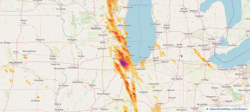
Melrose Park, IL — July 27, 2026 — regional hail footprint preview
Storm footprint preview

Local hail summary for the Melrose Park area: 0.48 square miles of estimated ground-hail footprint; highest mapped band 1+ inches. 0 official hail report(s) within the summary area. Exposure estimates are not confirmed property damage. Open the map to explore the full coverage included in your access. Statistics cover the mapped hail footprint inside the Census boundary of Melrose Park, IL, not the entire region. The place had 24,796 residents in the 2020 Census. A boundary intersection does not mean the whole community was hit. Estimated housing exposure: 423 units in 1-inch-or-larger bands, including 0 in 1.5-inch-or-larger bands and 0 in 2-inch-or-larger bands.

Affected states: Melrose Park area, IL
1+ inRadar size estimate 2,407Population Affected 1,144Houses Affected HailHazards FreeAccount signup
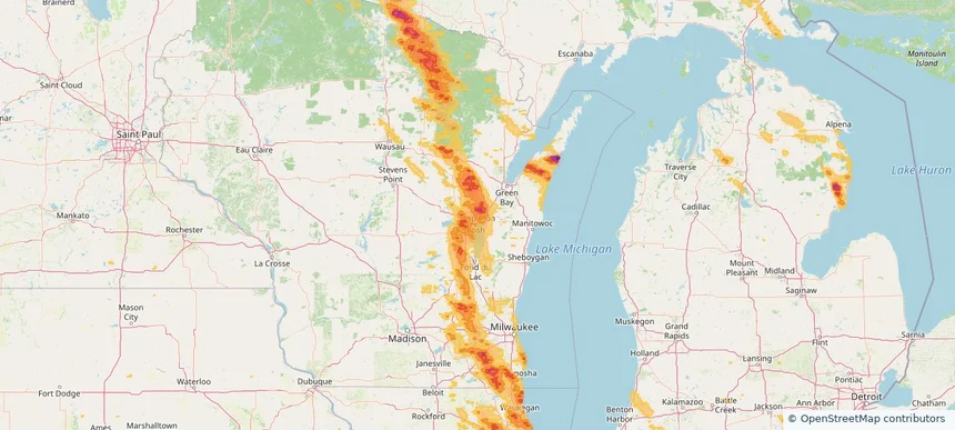
Menasha, WI — July 27, 2026 — regional hail footprint preview
Storm footprint preview

Local hail summary for the Menasha area: 7.48 square miles of estimated ground-hail footprint; highest mapped band 1+ inches. 0 official hail report(s) within the summary area. Exposure estimates are not confirmed property damage. Open the map to explore the full coverage included in your access. Statistics cover the mapped hail footprint inside the Census boundary of Menasha, WI, not the entire region. The place had 18,268 residents in the 2020 Census. A boundary intersection does not mean the whole community was hit. Estimated housing exposure: 4,530 units in 1-inch-or-larger bands, including 0 in 1.5-inch-or-larger bands and 0 in 2-inch-or-larger bands.

Affected states: Menasha area, WI
1+ inRadar size estimate 17,540Population Affected 7,999Houses Affected HailHazards FreeAccount signup
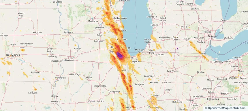
Midlothian, IL — July 27, 2026 — regional hail footprint preview
Storm footprint preview

Local hail summary for the Midlothian area: 2.82 square miles of estimated ground-hail footprint; highest mapped band 1.5+ inches. 0 official hail report(s) within the summary area. Exposure estimates are not confirmed property damage. Open the map to explore the full coverage included in your access. Statistics cover the mapped hail footprint inside the Census boundary of Midlothian, IL, not the entire region. The place had 14,325 residents in the 2020 Census. A boundary intersection does not mean the whole community was hit. Estimated housing exposure: 5,522 units in 1-inch-or-larger bands, including 3,049 in 1.5-inch-or-larger bands and 0 in 2-inch-or-larger bands.

Affected states: Midlothian area, IL
1.5+ inRadar size estimate 14,325Population Affected 5,522Houses Affected HailHazards FreeAccount signup
Minooka, IL — July 27, 2026 — regional hail footprint preview
Storm footprint preview

Local hail summary for the Minooka area: 9.44 square miles of estimated ground-hail footprint; highest mapped band 1+ inches. 0 official hail report(s) within the summary area. Exposure estimates are not confirmed property damage. Open the map to explore the full coverage included in your access. Statistics cover the mapped hail footprint inside the Census boundary of Minooka, IL, not the entire region. The place had 12,758 residents in the 2020 Census. A boundary intersection does not mean the whole community was hit. Estimated housing exposure: 4,155 units in 1-inch-or-larger bands, including 0 in 1.5-inch-or-larger bands and 0 in 2-inch-or-larger bands.

Affected states: Minooka area, IL
1+ inRadar size estimate 12,813Population Affected 4,155Houses Affected HailHazards FreeAccount signup
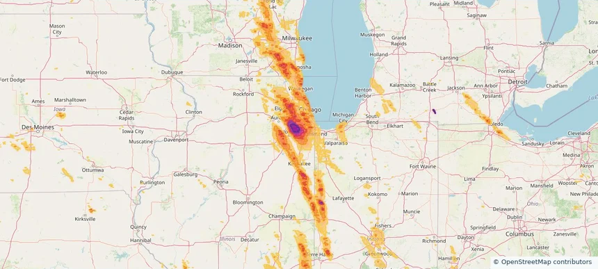
Mokena, IL — July 27, 2026 — regional hail footprint preview
Storm footprint preview

Local hail summary for the Mokena area: 8.67 square miles of estimated ground-hail footprint; highest mapped band 2.5+ inches. 0 official hail report(s) within the summary area. Exposure estimates are not confirmed property damage. Open the map to explore the full coverage included in your access. Statistics cover the mapped hail footprint inside the Census boundary of Mokena, IL, not the entire region. The place had 19,887 residents in the 2020 Census. A boundary intersection does not mean the whole community was hit. Estimated housing exposure: 7,303 units in 1-inch-or-larger bands, including 7,303 in 1.5-inch-or-larger bands and 7,303 in 2-inch-or-larger bands.

Affected states: Mokena area, IL
2.5+ inRadar size estimate 19,651Population Affected 7,303Houses Affected HailHazards FreeAccount signup
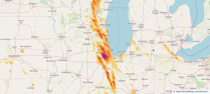
Mount Prospect, IL — July 27, 2026 — regional hail footprint preview
Storm footprint preview

Local hail summary for the Mount Prospect area: 2.33 square miles of estimated ground-hail footprint; highest mapped band 1+ inches. 0 official hail report(s) within the summary area. Exposure estimates are not confirmed property damage. Open the map to explore the full coverage included in your access. Statistics cover the mapped hail footprint inside the Census boundary of Mount Prospect, IL, not the entire region. The place had 56,852 residents in the 2020 Census. A boundary intersection does not mean the whole community was hit. Estimated housing exposure: 2,650 units in 1-inch-or-larger bands, including 0 in 1.5-inch-or-larger bands and 0 in 2-inch-or-larger bands.

Affected states: Mount Prospect area, IL
1+ inRadar size estimate 15,871Population Affected 6,691Houses Affected HailHazards FreeAccount signup
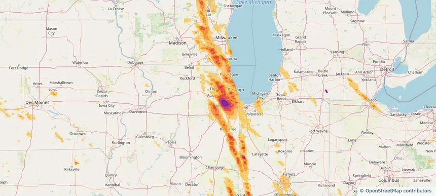
Naperville, IL — July 27, 2026 — regional hail footprint preview
Storm footprint preview

Local hail summary for the Naperville area: 24.56 square miles of estimated ground-hail footprint; highest mapped band 2+ inches. 0 official hail report(s) within the summary area. Exposure estimates are not confirmed property damage. Open the map to explore the full coverage included in your access. Statistics cover the mapped hail footprint inside the Census boundary of Naperville, IL, not the entire region. The place had 149,540 residents in the 2020 Census. A boundary intersection does not mean the whole community was hit. Estimated housing exposure: 33,138 units in 1-inch-or-larger bands, including 12,072 in 1.5-inch-or-larger bands and 834 in 2-inch-or-larger bands.

Affected states: Naperville area, IL
2+ inRadar size estimate 93,478Population Affected 34,996Houses Affected HailHazards FreeAccount signup
Neenah, WI — July 27, 2026 — regional hail footprint preview
Storm footprint preview

Local hail summary for the Neenah area: 5.73 square miles of estimated ground-hail footprint; highest mapped band 1+ inches. 0 official hail report(s) within the summary area. Exposure estimates are not confirmed property damage. Open the map to explore the full coverage included in your access. Statistics cover the mapped hail footprint inside the Census boundary of Neenah, WI, not the entire region. The place had 27,319 residents in the 2020 Census. A boundary intersection does not mean the whole community was hit. Estimated housing exposure: 572 units in 1-inch-or-larger bands, including 0 in 1.5-inch-or-larger bands and 0 in 2-inch-or-larger bands.

Affected states: Neenah area, WI
1+ inRadar size estimate 14,355Population Affected 6,441Houses Affected HailHazards FreeAccount signup
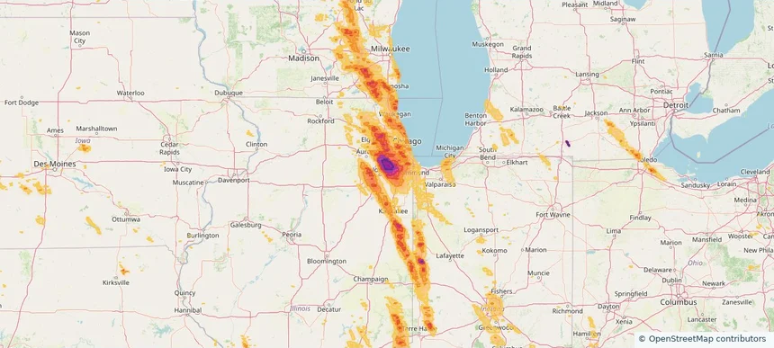
New Lenox, IL — July 27, 2026 — regional hail footprint preview
Storm footprint preview

Local hail summary for the New Lenox area: 14.30 square miles of estimated ground-hail footprint; highest mapped band 2+ inches. 0 official hail report(s) within the summary area. Exposure estimates are not confirmed property damage. Open the map to explore the full coverage included in your access. Statistics cover the mapped hail footprint inside the Census boundary of New Lenox, IL, not the entire region. The place had 27,214 residents in the 2020 Census. A boundary intersection does not mean the whole community was hit. Estimated housing exposure: 6,458 units in 1-inch-or-larger bands, including 4,201 in 1.5-inch-or-larger bands and 1,466 in 2-inch-or-larger bands.

Affected states: New Lenox area, IL
2+ inRadar size estimate 24,655Population Affected 8,657Houses Affected HailHazards FreeAccount signup
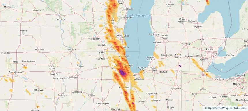
North Chicago, IL — July 27, 2026 — regional hail footprint preview
Storm footprint preview

Local hail summary for the North Chicago area: 2.40 square miles of estimated ground-hail footprint; highest mapped band 1.5+ inches. 0 official hail report(s) within the summary area. Exposure estimates are not confirmed property damage. Open the map to explore the full coverage included in your access. Statistics cover the mapped hail footprint inside the Census boundary of North Chicago, IL, not the entire region. The place had 30,759 residents in the 2020 Census. A boundary intersection does not mean the whole community was hit. Estimated housing exposure: 2,731 units in 1-inch-or-larger bands, including 45 in 1.5-inch-or-larger bands and 0 in 2-inch-or-larger bands.

Affected states: North Chicago area, IL
1.5+ inRadar size estimate 14,799Population Affected 3,907Houses Affected HailHazards FreeAccount signup
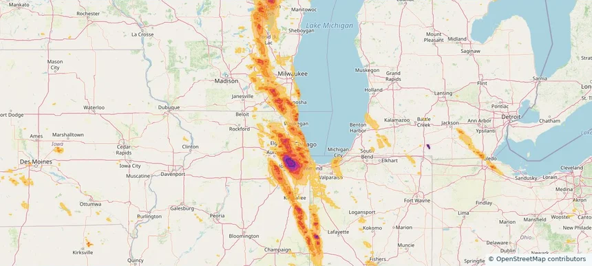
Northbrook, IL — July 27, 2026 — regional hail footprint preview
Storm footprint preview

Local hail summary for the Northbrook area: 13.30 square miles of estimated ground-hail footprint; highest mapped band 1+ inches. 0 official hail report(s) within the summary area. Exposure estimates are not confirmed property damage. Open the map to explore the full coverage included in your access. Statistics cover the mapped hail footprint inside the Census boundary of Northbrook, IL, not the entire region. The place had 35,222 residents in the 2020 Census. A boundary intersection does not mean the whole community was hit. Estimated housing exposure: 14,131 units in 1-inch-or-larger bands, including 0 in 1.5-inch-or-larger bands and 0 in 2-inch-or-larger bands.

Affected states: Northbrook area, IL
1+ inRadar size estimate 35,162Population Affected 14,131Houses Affected HailHazards FreeAccount signup
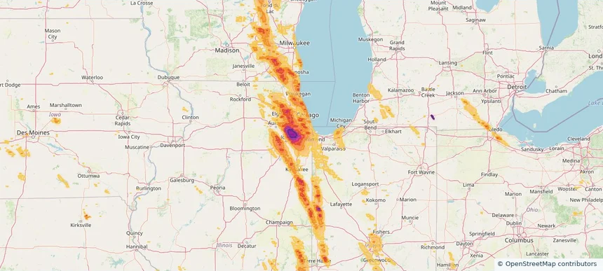
Oak Forest, IL — July 27, 2026 — regional hail footprint preview
Storm footprint preview

Local hail summary for the Oak Forest area: 6.07 square miles of estimated ground-hail footprint; highest mapped band 2+ inches. 1 official hail report(s) within the summary area. Exposure estimates are not confirmed property damage. Open the map to explore the full coverage included in your access. Statistics cover the mapped hail footprint inside the Census boundary of Oak Forest, IL, not the entire region. The place had 27,478 residents in the 2020 Census. A boundary intersection does not mean the whole community was hit. Estimated housing exposure: 10,751 units in 1-inch-or-larger bands, including 10,751 in 1.5-inch-or-larger bands and 2,654 in 2-inch-or-larger bands.

Affected states: Oak Forest area, IL
2+ inRadar size estimate 27,489Population Affected 10,751Houses Affected HailHazards FreeAccount signup
Oak Lawn, IL — July 27, 2026 — regional hail footprint preview
Storm footprint preview

Local hail summary for the Oak Lawn area: 8.57 square miles of estimated ground-hail footprint; highest mapped band 1+ inches. 0 official hail report(s) within the summary area. Exposure estimates are not confirmed property damage. Open the map to explore the full coverage included in your access. Statistics cover the mapped hail footprint inside the Census boundary of Oak Lawn, IL, not the entire region. The place had 58,362 residents in the 2020 Census. A boundary intersection does not mean the whole community was hit. Estimated housing exposure: 23,362 units in 1-inch-or-larger bands, including 0 in 1.5-inch-or-larger bands and 0 in 2-inch-or-larger bands.

Affected states: Oak Lawn area, IL
1+ inRadar size estimate 58,362Population Affected 23,362Houses Affected HailHazards FreeAccount signup
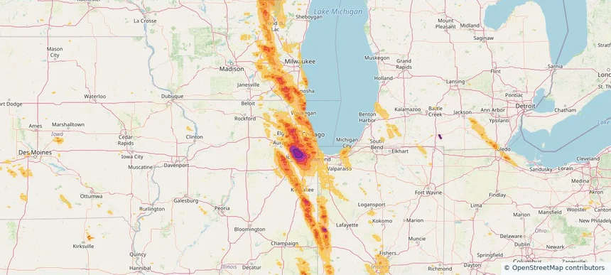
Oak Park, IL — July 27, 2026 — regional hail footprint preview
Storm footprint preview

Local hail summary for the Oak Park area: 4.66 square miles of estimated ground-hail footprint; highest mapped band 1.5+ inches. 0 official hail report(s) within the summary area. Exposure estimates are not confirmed property damage. Open the map to explore the full coverage included in your access. Statistics cover the mapped hail footprint inside the Census boundary of Oak Park, IL, not the entire region. The place had 54,583 residents in the 2020 Census. A boundary intersection does not mean the whole community was hit. Estimated housing exposure: 25,790 units in 1-inch-or-larger bands, including 1,284 in 1.5-inch-or-larger bands and 0 in 2-inch-or-larger bands.

Affected states: Oak Park area, IL
1.5+ inRadar size estimate 54,237Population Affected 25,790Houses Affected HailHazards FreeAccount signup
Page 21 of 99
‹ 1 20 21 22 99 ›

Frequently asked questions

Can I search hail maps by coverage area?

Yes. The storm library supports coverage-area filtering so you can find hail maps and hail swaths in a target service area.

What kinds of storms appear in the HailMapr library?

The library focuses on published hail events, including ready storm maps and live storms once hail has been detected and a public swath is available.

Are HailMapr storm pages useful for roofers and adjusters?

Yes. They are built to help roofers, adjusters, restoration teams, and property owners review storm footprints before purchase.