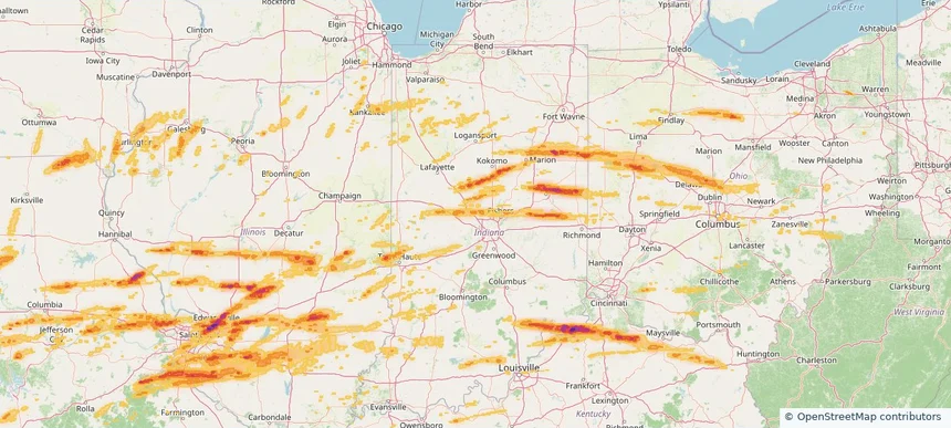
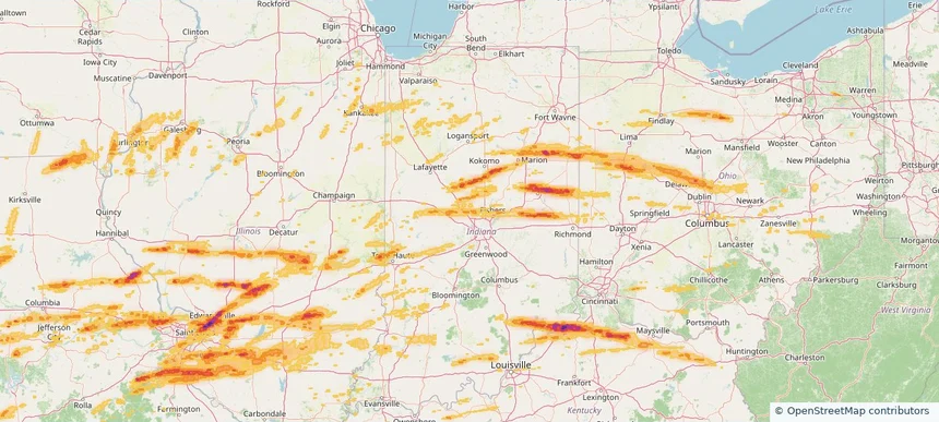
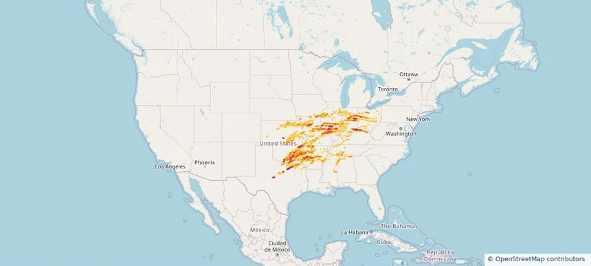
Review storm footprints, hail swaths, reports, and replay access. Create a free account to save your setup and move into map access when a storm matters.
Search filters
Newest storms first by default.
Don't see your storm?Request a qualifying storm map and we'll email you when it is ready.
Showing 2593-2603 of 2603 storms
· Page 109 of 109
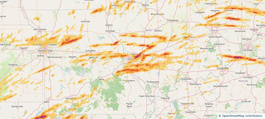
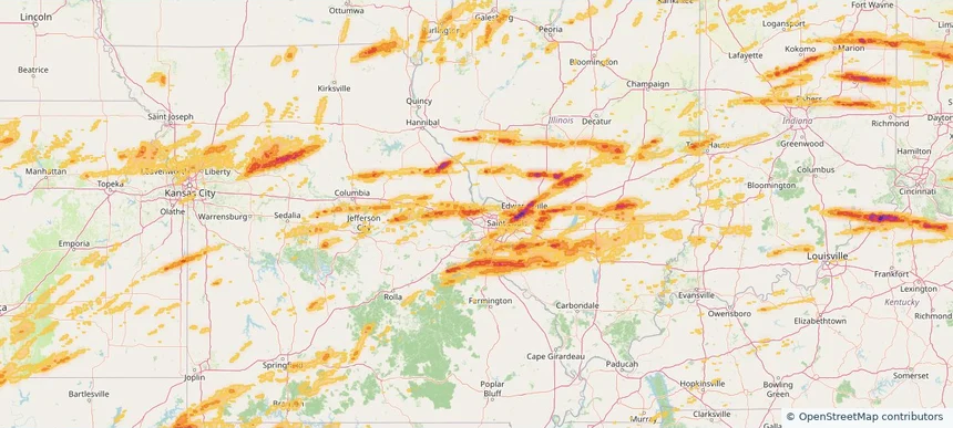
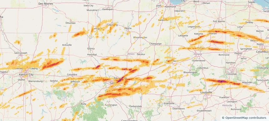
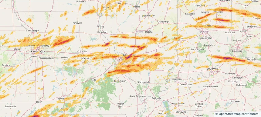
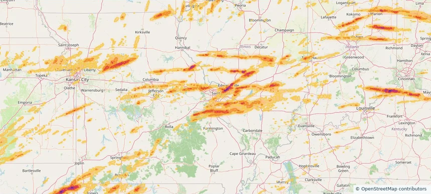
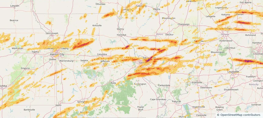
Local hail summary for the St. Louis area: 21.13 square miles of estimated ground-hail footprint; highest mapped band 1+ inches. 1 official hail report(s) within the summary area. Exposure estimates are not confirmed property damage. Open the map to explore the full coverage included in your access. Statistics cover the mapped hail footprint inside the Census boundary of St. Louis, MO, not the entire region. The place had 301,578 residents in the 2020 Census. A boundary intersection does not mean the whole community was hit. Estimated housing exposure: 10,960 units in 1-inch-or-larger bands, including 0 in 1.5-inch-or-larger bands and 0 in 2-inch-or-larger bands.
Local hail summary for the St. Peters area: 12.23 square miles of estimated ground-hail footprint; highest mapped band 1.5+ inches. 0 official hail report(s) within the summary area. Exposure estimates are not confirmed property damage. Open the map to explore the full coverage included in your access. Statistics cover the mapped hail footprint inside the Census boundary of St. Peters, MO, not the entire region. The place had 57,732 residents in the 2020 Census. A boundary intersection does not mean the whole community was hit. Estimated housing exposure: 7,241 units in 1-inch-or-larger bands, including 1,895 in 1.5-inch-or-larger bands and 0 in 2-inch-or-larger bands.
Local hail summary for the Taylorville area: 7.10 square miles of estimated ground-hail footprint; highest mapped band 1+ inches. 1 official hail report(s) within the summary area. Exposure estimates are not confirmed property damage. Open the map to explore the full coverage included in your access. Statistics cover the mapped hail footprint inside the Census boundary of Taylorville, IL, not the entire region. The place had 10,506 residents in the 2020 Census. A boundary intersection does not mean the whole community was hit. Estimated housing exposure: 2,173 units in 1-inch-or-larger bands, including 0 in 1.5-inch-or-larger bands and 0 in 2-inch-or-larger bands.
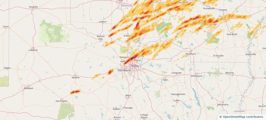
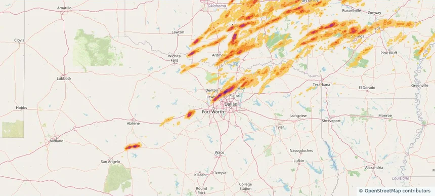
Local hail summary for the The Colony area: 2.71 square miles of estimated ground-hail footprint; highest mapped band 2+ inches. 0 official hail report(s) within the summary area. Exposure estimates are not confirmed property damage. Open the map to explore the full coverage included in your access. Statistics cover the mapped hail footprint inside the Census boundary of The Colony, TX, not the entire region. The place had 44,534 residents in the 2020 Census. A boundary intersection does not mean the whole community was hit. Estimated housing exposure: 126 units in 1-inch-or-larger bands, including 14 in 1.5-inch-or-larger bands and 0 in 2-inch-or-larger bands.
Local hail summary for the Trophy Club area: 4.04 square miles of estimated ground-hail footprint; highest mapped band 2+ inches. 0 official hail report(s) within the summary area. Exposure estimates are not confirmed property damage. Open the map to explore the full coverage included in your access. Statistics cover the mapped hail footprint inside the Census boundary of Trophy Club, TX, not the entire region. The place had 13,688 residents in the 2020 Census. A boundary intersection does not mean the whole community was hit. Estimated housing exposure: 4,145 units in 1-inch-or-larger bands, including 2,422 in 1.5-inch-or-larger bands and 870 in 2-inch-or-larger bands.
Local hail summary for the Troy area: 4.70 square miles of estimated ground-hail footprint; highest mapped band 1+ inches. 0 official hail report(s) within the summary area. Exposure estimates are not confirmed property damage. Open the map to explore the full coverage included in your access. Statistics cover the mapped hail footprint inside the Census boundary of Troy, IL, not the entire region. The place had 10,960 residents in the 2020 Census. A boundary intersection does not mean the whole community was hit. Estimated housing exposure: 465 units in 1-inch-or-larger bands, including 0 in 1.5-inch-or-larger bands and 0 in 2-inch-or-larger bands.
Local hail summary for the Webster Groves area: 5.42 square miles of estimated ground-hail footprint; highest mapped band 1+ inches. 0 official hail report(s) within the summary area. Exposure estimates are not confirmed property damage. Open the map to explore the full coverage included in your access. Statistics cover the mapped hail footprint inside the Census boundary of Webster Groves, MO, not the entire region. The place had 24,010 residents in the 2020 Census. A boundary intersection does not mean the whole community was hit. Estimated housing exposure: 5,693 units in 1-inch-or-larger bands, including 0 in 1.5-inch-or-larger bands and 0 in 2-inch-or-larger bands.
Local hail summary for the Wentzville area: 19.06 square miles of estimated ground-hail footprint; highest mapped band 1.5+ inches. 0 official hail report(s) within the summary area. Exposure estimates are not confirmed property damage. Open the map to explore the full coverage included in your access. Statistics cover the mapped hail footprint inside the Census boundary of Wentzville, MO, not the entire region. The place had 44,372 residents in the 2020 Census. A boundary intersection does not mean the whole community was hit. Estimated housing exposure: 6,440 units in 1-inch-or-larger bands, including 0 in 1.5-inch-or-larger bands and 0 in 2-inch-or-larger bands.
Local hail summary for the Whitestown area: 7.42 square miles of estimated ground-hail footprint; highest mapped band 1+ inches. 0 official hail report(s) within the summary area. Exposure estimates are not confirmed property damage. Open the map to explore the full coverage included in your access. Statistics cover the mapped hail footprint inside the Census boundary of Whitestown, IN, not the entire region. The place had 10,178 residents in the 2020 Census. A boundary intersection does not mean the whole community was hit. Estimated housing exposure: 850 units in 1-inch-or-larger bands, including 0 in 1.5-inch-or-larger bands and 0 in 2-inch-or-larger bands.
Local hail summary for the Zionsville area: 23.75 square miles of estimated ground-hail footprint; highest mapped band 1.5+ inches. 0 official hail report(s) within the summary area. Exposure estimates are not confirmed property damage. Open the map to explore the full coverage included in your access. Statistics cover the mapped hail footprint inside the Census boundary of Zionsville, IN, not the entire region. The place had 30,603 residents in the 2020 Census. A boundary intersection does not mean the whole community was hit. Estimated housing exposure: 1,852 units in 1-inch-or-larger bands, including 67 in 1.5-inch-or-larger bands and 0 in 2-inch-or-larger bands.
Hail as large as 4.50 inches was reported near Ada, OKLAHOMA. Wind up to 87 mph was reported near Atkinson, GEORGIA. 102 tornadoes were reported, including one near Macoupin, ILLINOIS. The storm had 133 official hail reports.