Storm library

Browse live and recent hail maps.

Review storm footprints, hail swaths, reports, and replay access. Create a free account to save your setup and move into map access when a storm matters.

Search filters
Clear
Newest storms first by default.
Don't see your storm? Request a qualifying storm map and we'll email you when it is ready.
Showing 193-216 of 261 storms · Page 9 of 11
‹ 1 8 9 10 11 ›
Request a storm map

Tell us about the storm and we'll build the map. Once it's published you'll get an email and can purchase it from the library — just like any other event.

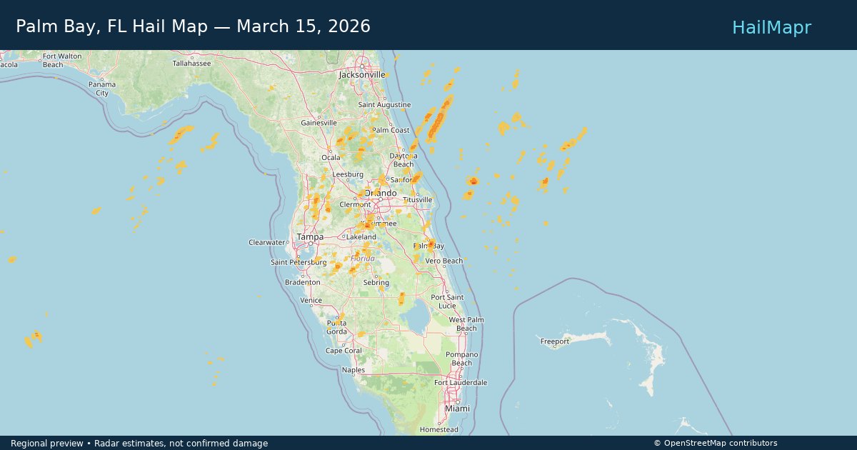
Palm Bay, FL — March 15, 2026 — regional hail footprint preview
Storm footprint preview

Local hail summary for the Palm Bay area: 3.21 square miles of estimated ground-hail footprint; highest mapped band 1+ inches. 0 official hail report(s) within the summary area. Exposure estimates are not confirmed property damage. Open the map to explore the full coverage included in your access. Statistics cover the mapped hail footprint inside the Census boundary of Palm Bay, FL, not the entire region. The place had 119,760 residents in the 2020 Census. A boundary intersection does not mean the whole community was hit. Estimated housing exposure: 985 units in 1-inch-or-larger bands, including 0 in 1.5-inch-or-larger bands and 0 in 2-inch-or-larger bands.

Affected states: Palm Bay area, FL
1+ inRadar size estimate 3,737Population Affected 1,406Houses Affected HailHazards FreeAccount signup
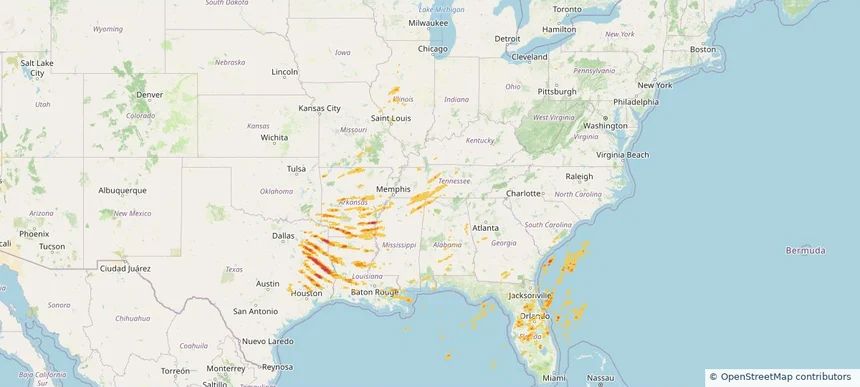
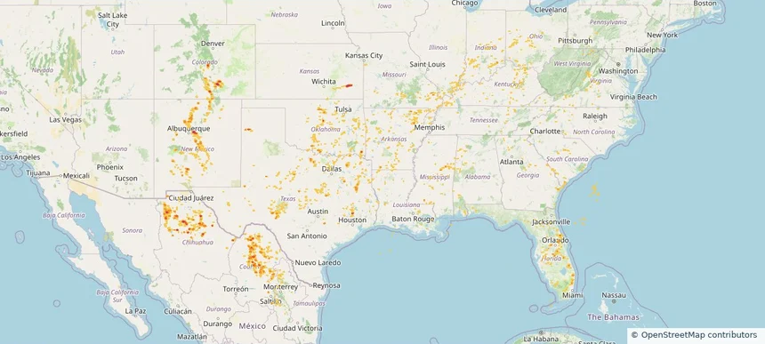
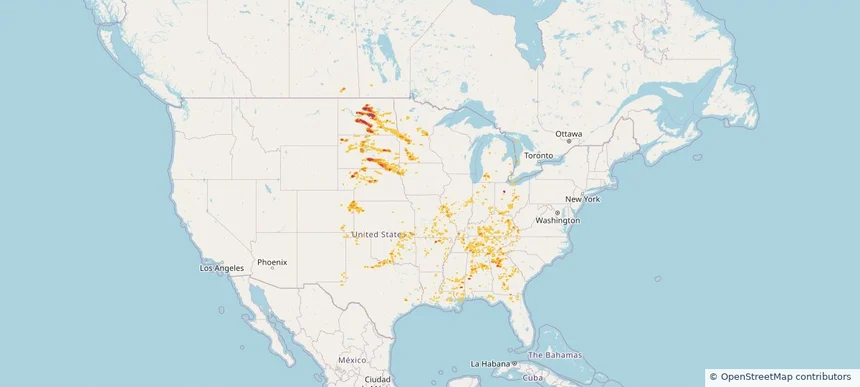
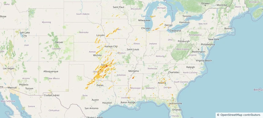
Historical Hail — 2026-03-15 — regional hail footprint preview
Storm footprint preview
Mar 15, 2026 7:00 AM to Mar 16, 2026 7:00 AM CST

Historical Hail — 2026-03-15

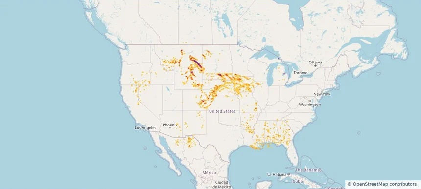
Hail as large as 2.00 inches was reported near Rohwer, ARKANSAS. Wind up to 104 mph was reported near 3 miles west-northwest of Whistler, MS. 67 tornadoes were reported, including one near 4 miles north-northeast of Cabool, MO. The storm had 22 official hail reports.

Affected states: National, AL, AR, FL, GA, IL, IN, KY, LA, MI, MS, MO, NC, OH, OK, SC, TN, TX, VA, WV
2.46 inRadar size estimate 988,812Population Affected 434,106Houses Affected Hail · Wind · TornadoHazards FreeAccount signup
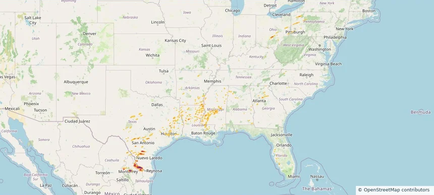
Historical Hail — 2026-03-07 — regional hail footprint preview
Storm footprint preview
Mar 7, 2026 6:00 AM to Mar 8, 2026 7:00 AM CST

Historical Hail — 2026-03-07

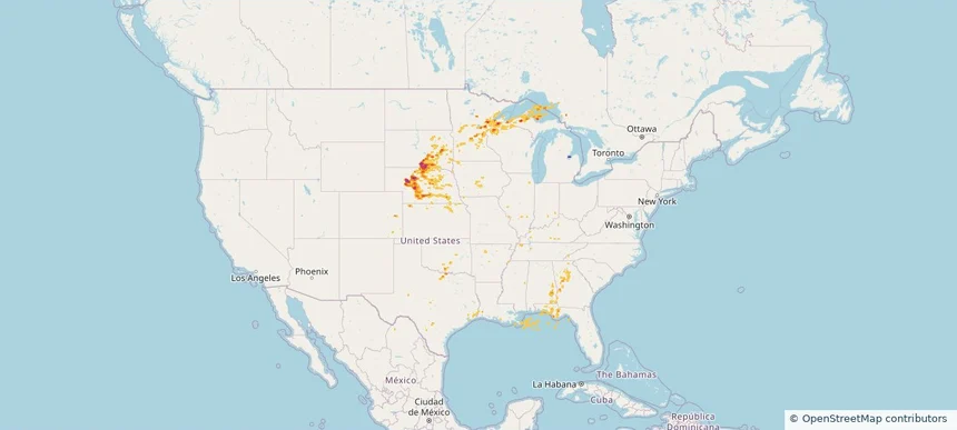
Hail as large as 2.75 inches was reported near Rio Grande City Arpt, TEXAS. Wind up to 81 mph was reported near 2 miles west-northwest of Terry, MS. 6 tornadoes were reported, including one near 2 miles west-northwest of Willisville, AR. The storm had 4 official hail reports.

Affected states: National, AL, AR, FL, GA, KY, LA, MI, MS, MO, NY, OH, PA, TN, TX, WV
4.41 inRadar size estimate 582,958Population Affected 209,319Houses Affected Hail · Wind · TornadoHazards FreeAccount signup
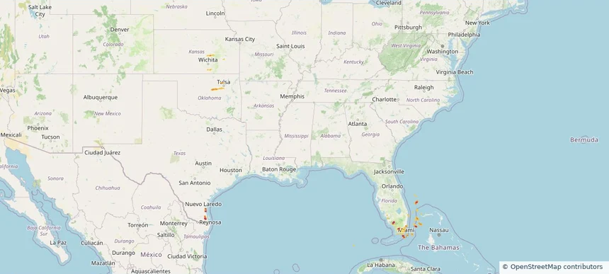
Historical Hail — 2026-03-06 — regional hail footprint preview
Storm footprint preview
Mar 6, 2026 6:00 AM to Mar 7, 2026 6:00 AM CST

Historical Hail — 2026-03-06

Hail as large as 2.00 inches was reported near Ohiowa, NEBRASKA. Wind up to 93 mph was reported near 6 miles northwest of Anderson, MO. 31 tornadoes were reported, including one near 2 miles west-northwest of Edwardsburg, MI. The storm had 16 official hail reports.

Affected states: National, AL, AR, FL, GA, IL, IN, IA, KS, LA, MI, MN, MS, MO, NE, NC, OK, TX
2.09 inRadar size estimate 621,220Population Affected 253,552Houses Affected Hail · Wind · TornadoHazards FreeAccount signup
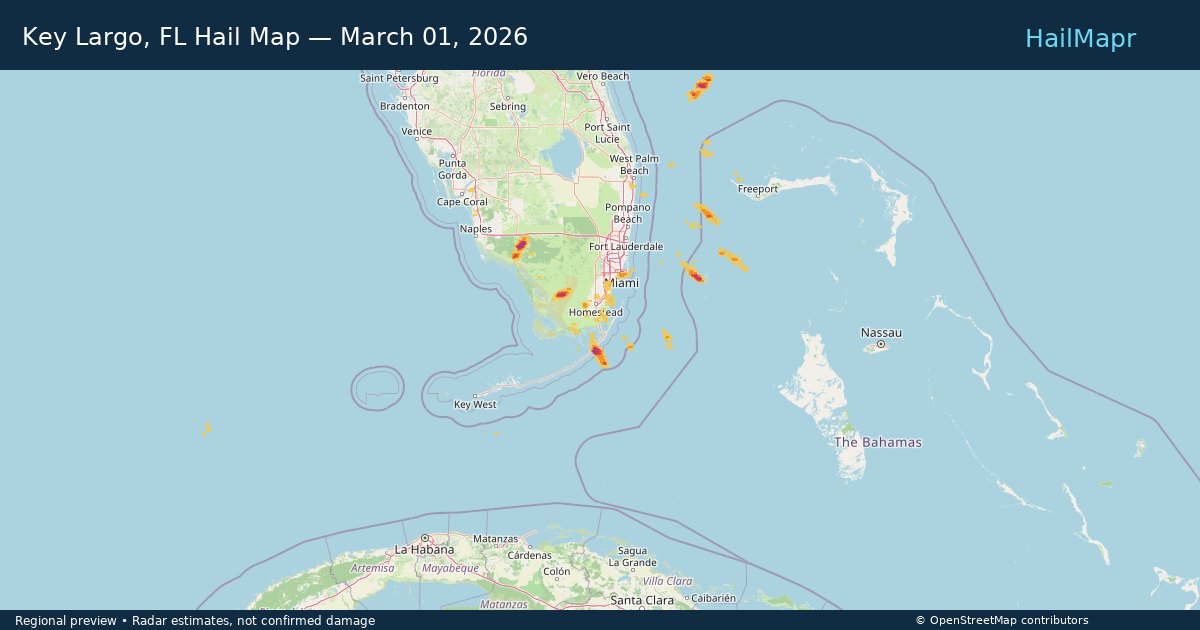
Key Largo, FL — March 01, 2026 — regional hail footprint preview
Storm footprint preview

Local hail summary for the Key Largo area: 0.89 square miles of estimated ground-hail footprint; highest mapped band 1+ inches. 0 official hail report(s) within the summary area. Exposure estimates are not confirmed property damage. Open the map to explore the full coverage included in your access. Statistics cover the mapped hail footprint inside the Census boundary of Key Largo, FL, not the entire region. The place had 12,447 residents in the 2020 Census. A boundary intersection does not mean the whole community was hit. Estimated housing exposure: 620 units in 1-inch-or-larger bands, including 0 in 1.5-inch-or-larger bands and 0 in 2-inch-or-larger bands.

Affected states: Key Largo area, FL
1+ inRadar size estimate 1,020Population Affected 742Houses Affected HailHazards FreeAccount signup
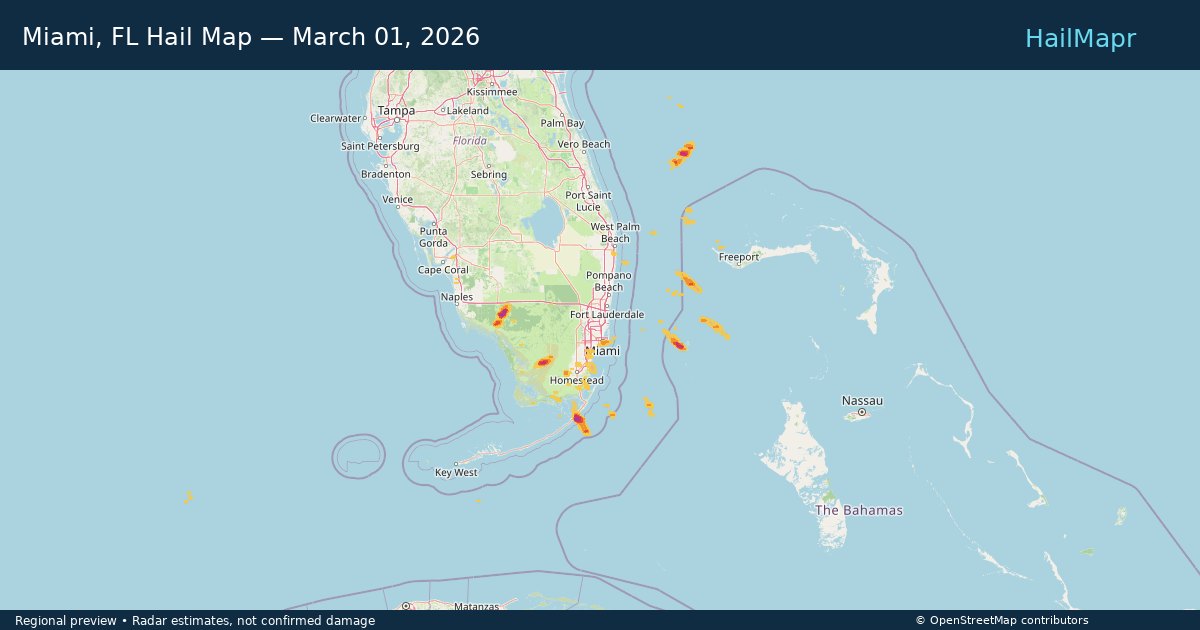
Miami, FL — March 01, 2026 — regional hail footprint preview
Storm footprint preview

Local hail summary for the Miami area: 8.04 square miles of estimated ground-hail footprint; highest mapped band 1+ inches. 0 official hail report(s) within the summary area. Exposure estimates are not confirmed property damage. Open the map to explore the full coverage included in your access. Statistics cover the mapped hail footprint inside the Census boundary of Miami, FL, not the entire region. The place had 442,241 residents in the 2020 Census. A boundary intersection does not mean the whole community was hit. Estimated housing exposure: 39,374 units in 1-inch-or-larger bands, including 0 in 1.5-inch-or-larger bands and 0 in 2-inch-or-larger bands.

Affected states: Miami area, FL
1+ inRadar size estimate 88,086Population Affected 53,415Houses Affected HailHazards FreeAccount signup
Historical Hail — 2025-09-21 — regional hail footprint preview
Storm footprint preview
Sep 21, 2025 7:00 AM to Sep 22, 2025 7:00 AM CST

Historical Hail — 2025-09-21

Hail as large as 2.50 inches was reported near Luella, TEXAS. Wind up to 85 mph was reported near Tx, TX. 5 tornadoes were reported, including one near Antrim, MICHIGAN. The storm had 22 official hail reports.

Affected states: National, AL, AR, FL, IL, IN, IA, KY, LA, MI, MN, MS, MO, NE, OH, OK, SD, TN, TX, WI
4.05 inRadar size estimate 863,909Population Affected 358,599Houses Affected Hail · Wind · TornadoHazards FreeAccount signup
Historical Hail — 2025-07-30 — regional hail footprint preview
Storm footprint preview
Jul 30, 2025 7:00 AM to Jul 31, 2025 7:00 AM CST

Historical Hail — 2025-07-30

Hail as large as 1.00 inches was reported near Mooar, IOWA. Wind up to 83 mph was reported near 1 mile west-southwest of Allison, NM. 12 tornadoes were reported, including one near Bernalillo, NEW MEXICO. The storm had 2 official hail reports.

Affected states: National, AL, AZ, AR, CA, CO, CT, FL, GA, ID, IL, IN, IA, KS, LA, MS, MO, NE, NV, NM, NY, OH, OK, OR, PA, TN, TX, UT, VA, WV, WY
2.5 inRadar size estimate 508,659Population Affected 225,784Houses Affected Hail · Wind · TornadoHazards FreeAccount signup
Historical Hail — 2025-07-29 — regional hail footprint preview
Storm footprint preview
Jul 29, 2025 7:00 AM to Jul 30, 2025 7:00 AM CST

Historical Hail — 2025-07-29

Hail as large as 1.75 inches was reported near Volborg, MONTANA. Wind up to 100 mph was reported near Nd, ND. 8 tornadoes were reported, including one near Lyon, IOWA. The storm had 7 official hail reports.

Affected states: National, AL, AZ, AR, CA, CO, FL, GA, ID, IL, IA, KS, LA, MN, MS, MO, MT, NE, NV, NM, ND, OR, SC, SD, TN, TX, UT, WY
4.18 inRadar size estimate 704,974Population Affected 317,473Houses Affected Hail · Wind · TornadoHazards FreeAccount signup
Historical Hail — 2025-07-15 — regional hail footprint preview
Storm footprint preview
Jul 15, 2025 7:00 AM to Jul 16, 2025 7:00 AM CST

Historical Hail — 2025-07-15

Hail as large as 2.00 inches was reported near Hyannis, NEBRASKA. Wind up to 89 mph was reported near 3 miles south of Corsica, SD. 10 tornadoes were reported, including one near Cherry, NEBRASKA. The storm had 9 official hail reports.

Affected states: National, AL, CO, FL, GA, IL, IA, KS, KY, LA, MI, MN, NE, OK, SD, TX, WI
3.0 inRadar size estimate 169,514Population Affected 78,969Houses Affected Hail · Wind · TornadoHazards FreeAccount signup
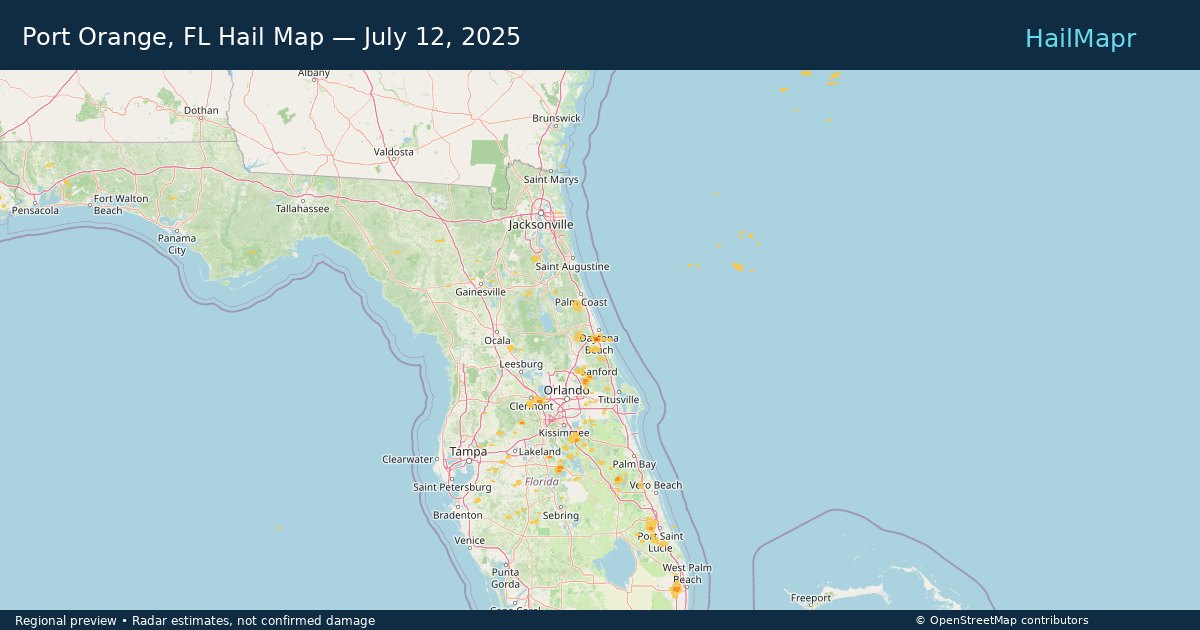
Port Orange, FL — July 12, 2025 — regional hail footprint preview
Storm footprint preview

Local hail summary for the Port Orange area: 3.10 square miles of estimated ground-hail footprint; highest mapped band 1.5+ inches. 0 official hail report(s) within the summary area. Exposure estimates are not confirmed property damage. Open the map to explore the full coverage included in your access. Statistics cover the mapped hail footprint inside the Census boundary of Port Orange, FL, not the entire region. The place had 62,596 residents in the 2020 Census. A boundary intersection does not mean the whole community was hit. Estimated housing exposure: 1,462 units in 1-inch-or-larger bands, including 717 in 1.5-inch-or-larger bands and 0 in 2-inch-or-larger bands.

Affected states: Port Orange area, FL
1.5+ inRadar size estimate 7,741Population Affected 3,440Houses Affected HailHazards FreeAccount signup
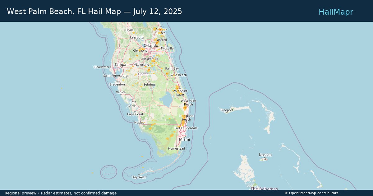
West Palm Beach, FL — July 12, 2025 — regional hail footprint preview
Storm footprint preview

Local hail summary for the West Palm Beach area: 1.05 square miles of estimated ground-hail footprint; highest mapped band 1+ inches. 0 official hail report(s) within the summary area. Exposure estimates are not confirmed property damage. Open the map to explore the full coverage included in your access. Statistics cover the mapped hail footprint inside the Census boundary of West Palm Beach, FL, not the entire region. The place had 117,415 residents in the 2020 Census. A boundary intersection does not mean the whole community was hit. Estimated housing exposure: 836 units in 1-inch-or-larger bands, including 0 in 1.5-inch-or-larger bands and 0 in 2-inch-or-larger bands.

Affected states: West Palm Beach area, FL
1+ inRadar size estimate 2,357Population Affected 1,370Houses Affected HailHazards FreeAccount signup
Historical Hail — 2025-07-12 — regional hail footprint preview
Storm footprint preview
Jul 12, 2025 7:00 AM to Jul 13, 2025 7:00 AM CST

Historical Hail — 2025-07-12

Hail as large as 2.25 inches was reported near Buffalo, KANSAS. Wind up to 76 mph was reported near 4 miles northeast of South Valley, NM. 10 tornadoes were reported, including one near Page, IOWA. The storm had 7 official hail reports.

Affected states: National, AL, AR, CO, FL, GA, IL, IN, KS, KY, LA, MD, MS, MO, NM, NC, OH, OK, SC, TN, TX, VA, WV
2.42 inRadar size estimate 652,057Population Affected 281,802Houses Affected Hail · Wind · TornadoHazards FreeAccount signup
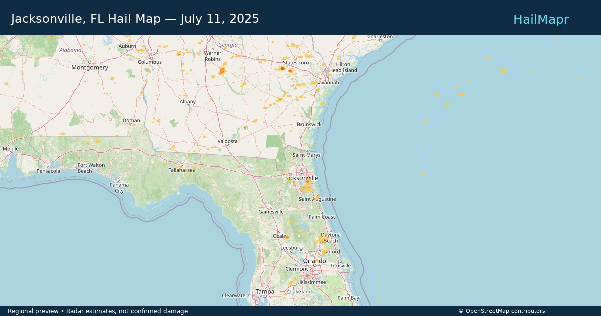
Jacksonville, FL — July 11, 2025 — regional hail footprint preview
Storm footprint preview

Local hail summary for the Jacksonville area: 7.40 square miles of estimated ground-hail footprint; highest mapped band 1+ inches. 0 official hail report(s) within the summary area. Exposure estimates are not confirmed property damage. Open the map to explore the full coverage included in your access. Statistics cover the mapped hail footprint inside the Census boundary of Jacksonville, FL, not the entire region. The place had 949,611 residents in the 2020 Census. A boundary intersection does not mean the whole community was hit. Estimated housing exposure: 396 units in 1-inch-or-larger bands, including 0 in 1.5-inch-or-larger bands and 0 in 2-inch-or-larger bands.

Affected states: Jacksonville area, FL
1+ inRadar size estimate 7,688Population Affected 3,087Houses Affected HailHazards FreeAccount signup
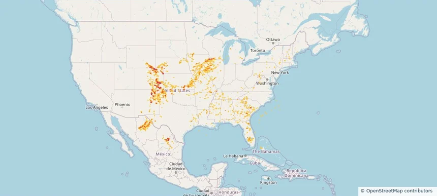
Historical Hail — 2025-07-11 — regional hail footprint preview
Storm footprint preview
Jul 11, 2025 7:00 AM to Jul 12, 2025 7:00 AM CST

Historical Hail — 2025-07-11

Hail as large as 2.00 inches was reported near Grover, COLORADO. Wind up to 98 mph was reported near 1 mile south-southwest of Cascade, IA. 40 tornadoes were reported, including one near Jones, IOWA. The storm had 23 official hail reports.

Affected states: National, AL, AR, CO, FL, GA, IL, IA, KS, LA, MD, MA, MI, MN, MS, MO, NE, NH, NM, NY, NC, OK, PA, SC, TN, TX, VT, VA, WV, WI, WY
3.0 inRadar size estimate 961,330Population Affected 415,893Houses Affected Hail · Wind · TornadoHazards FreeAccount signup
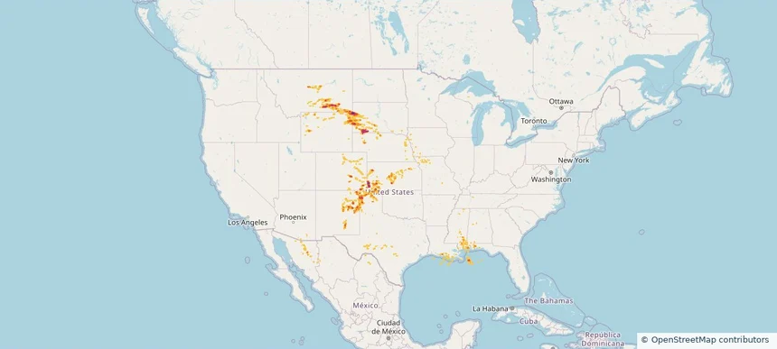
Historical Hail — 2025-07-05 — regional hail footprint preview
Storm footprint preview
Jul 5, 2025 7:00 AM to Jul 6, 2025 7:00 AM CST

Historical Hail — 2025-07-05

Hail as large as 1.75 inches was reported near Cora, WYOMING. Wind up to 104 mph was reported near Yuma, COLORADO. 7 tornadoes were reported, including one near Grand Forks, NORTH DAKOTA. The storm had 3 official hail reports.

Affected states: National, AL, CO, FL, IL, IA, KS, LA, MI, MN, MS, MO, MT, NE, NM, OK, SD, TX, WY
3.0 inRadar size estimate 88,943Population Affected 36,013Houses Affected Hail · Wind · TornadoHazards FreeAccount signup
Historical Hail — 2025-06-27 — regional hail footprint preview
Storm footprint preview
Jun 27, 2025 7:00 AM to Jun 28, 2025 7:00 AM CST

Historical Hail — 2025-06-27

Hail as large as 2.50 inches was reported near Garrison, NORTH DAKOTA. Wind up to 99 mph was reported near 8 miles east of Corsica, SD. 36 tornadoes were reported, including one near Deuel, SOUTH DAKOTA. The storm had 17 official hail reports.

Affected states: National, AL, AR, CO, FL, GA, IL, IN, IA, KS, KY, LA, MI, MN, MS, MO, NE, NM, NC, ND, OH, OK, SD, TN, TX, VA, WV
3.0 inRadar size estimate 924,371Population Affected 379,614Houses Affected Hail · Wind · TornadoHazards FreeAccount signup
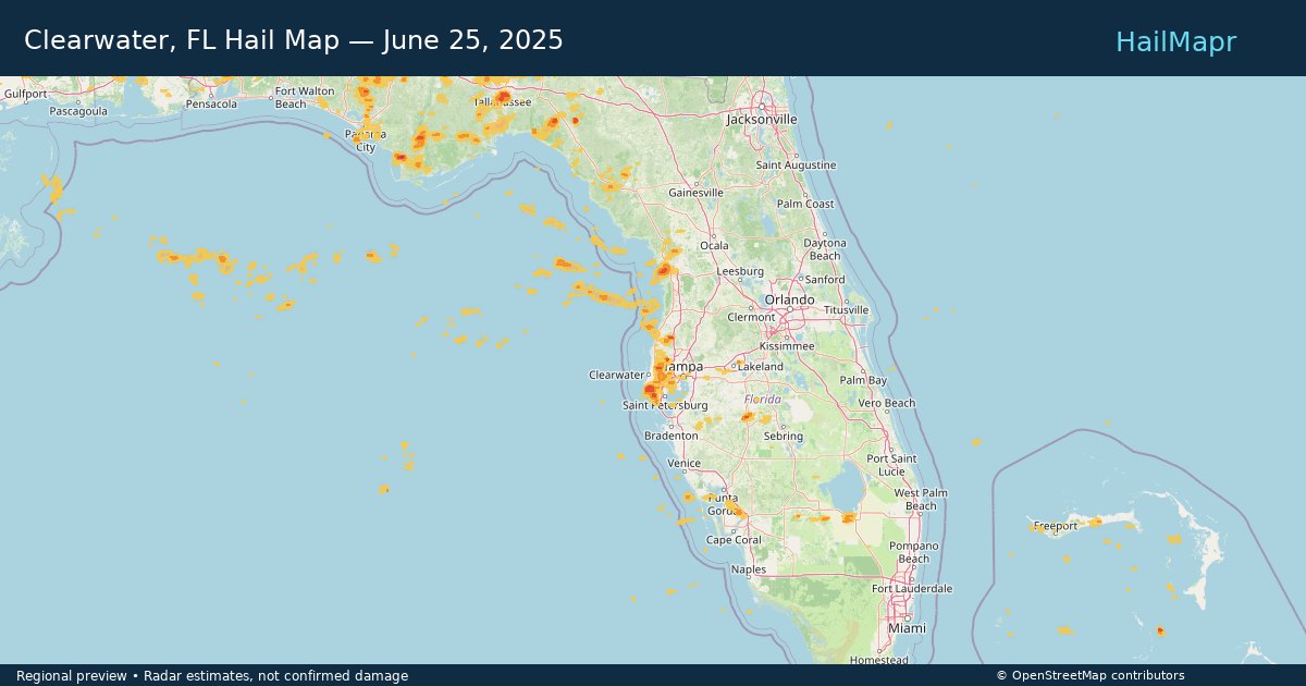
Clearwater, FL — June 25, 2025 — regional hail footprint preview
Storm footprint preview

Local hail summary for the Clearwater area: 5.34 square miles of estimated ground-hail footprint; highest mapped band 1.5+ inches. 0 official hail report(s) within the summary area. Exposure estimates are not confirmed property damage. Open the map to explore the full coverage included in your access. Statistics cover the mapped hail footprint inside the Census boundary of Clearwater, FL, not the entire region. The place had 117,292 residents in the 2020 Census. A boundary intersection does not mean the whole community was hit. Estimated housing exposure: 2,781 units in 1-inch-or-larger bands, including 1 in 1.5-inch-or-larger bands and 0 in 2-inch-or-larger bands.

Affected states: Clearwater area, FL
1.5+ inRadar size estimate 13,776Population Affected 6,562Houses Affected HailHazards FreeAccount signup
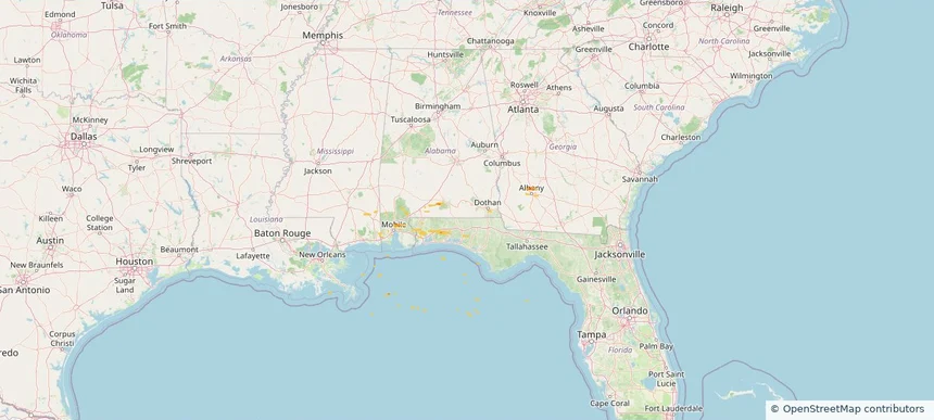
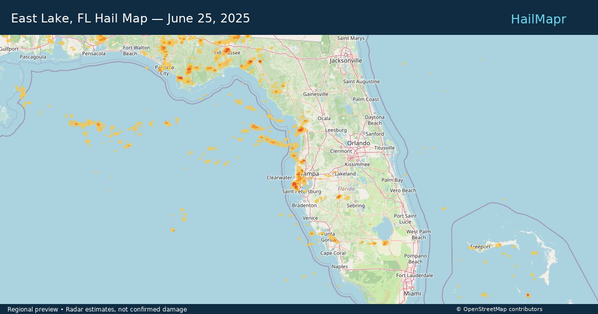
East Lake, FL — June 25, 2025 — regional hail footprint preview
Storm footprint preview

Local hail summary for the East Lake area: 2.36 square miles of estimated ground-hail footprint; highest mapped band 1+ inches. 0 official hail report(s) within the summary area. Exposure estimates are not confirmed property damage. Open the map to explore the full coverage included in your access. Statistics cover the mapped hail footprint inside the Census boundary of East Lake, FL, not the entire region. The place had 32,344 residents in the 2020 Census. A boundary intersection does not mean the whole community was hit. Estimated housing exposure: 1,172 units in 1-inch-or-larger bands, including 0 in 1.5-inch-or-larger bands and 0 in 2-inch-or-larger bands.

Affected states: East Lake area, FL
1+ inRadar size estimate 5,619Population Affected 3,110Houses Affected HailHazards FreeAccount signup
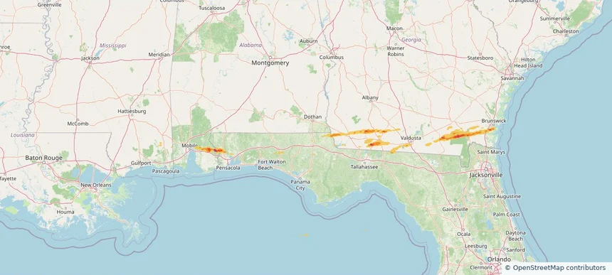
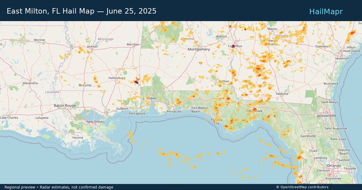
East Milton, FL — June 25, 2025 — regional hail footprint preview
Storm footprint preview

Local hail summary for the East Milton area: 11.94 square miles of estimated ground-hail footprint; highest mapped band 1+ inches. 1 official hail report(s) within the summary area. Exposure estimates are not confirmed property damage. Open the map to explore the full coverage included in your access. Statistics cover the mapped hail footprint inside the Census boundary of East Milton, FL, not the entire region. The place had 14,309 residents in the 2020 Census. A boundary intersection does not mean the whole community was hit. Estimated housing exposure: 1,190 units in 1-inch-or-larger bands, including 0 in 1.5-inch-or-larger bands and 0 in 2-inch-or-larger bands.

Affected states: East Milton area, FL
1+ inRadar size estimate 7,466Population Affected 1,725Houses Affected HailHazards FreeAccount signup
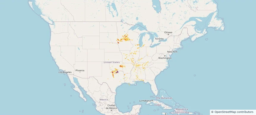
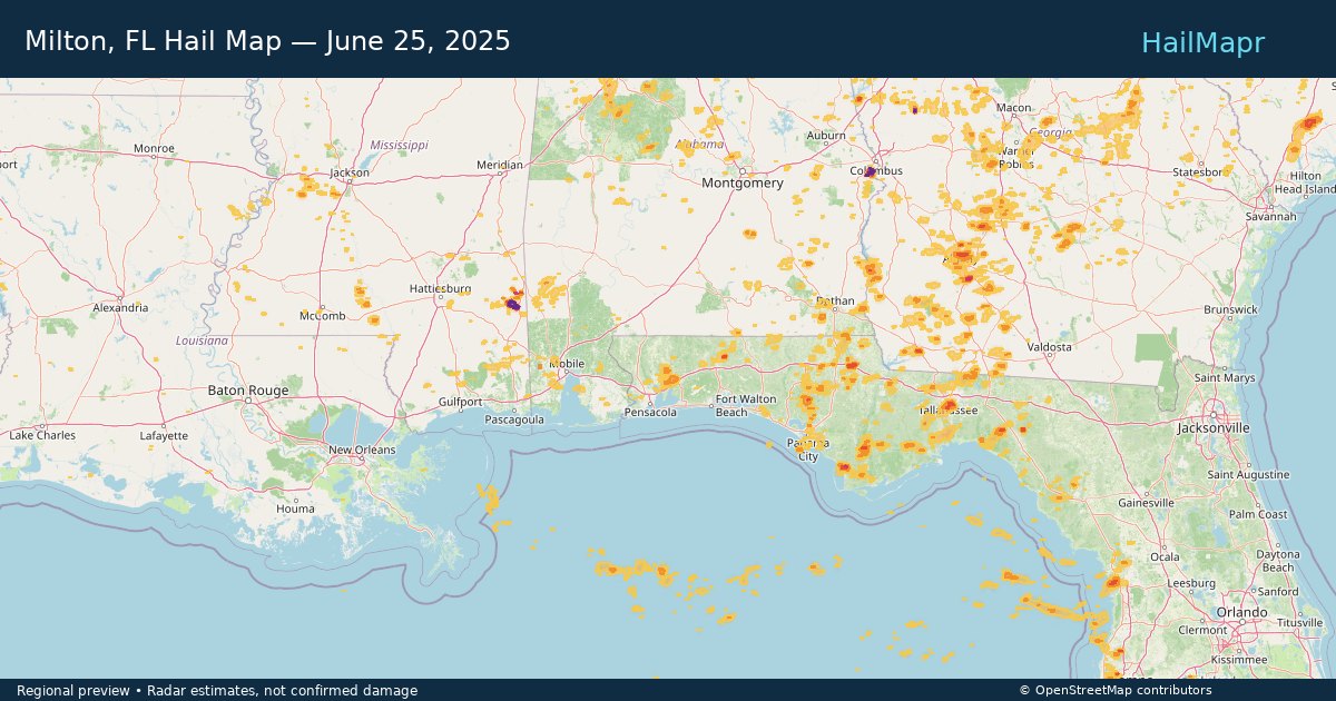
Milton, FL — June 25, 2025 — regional hail footprint preview
Storm footprint preview

Local hail summary for the Milton area: 3.86 square miles of estimated ground-hail footprint; highest mapped band 1+ inches. 0 official hail report(s) within the summary area. Exposure estimates are not confirmed property damage. Open the map to explore the full coverage included in your access. Statistics cover the mapped hail footprint inside the Census boundary of Milton, FL, not the entire region. The place had 10,197 residents in the 2020 Census. A boundary intersection does not mean the whole community was hit. Estimated housing exposure: 307 units in 1-inch-or-larger bands, including 0 in 1.5-inch-or-larger bands and 0 in 2-inch-or-larger bands.

Affected states: Milton area, FL
1+ inRadar size estimate 5,704Population Affected 2,522Houses Affected HailHazards FreeAccount signup
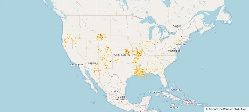
Page 9 of 11
‹ 1 8 9 10 11 ›

Frequently asked questions

Can I search hail maps by coverage area?

Yes. The storm library supports coverage-area filtering so you can find hail maps and hail swaths in a target service area.

What kinds of storms appear in the HailMapr library?

The library focuses on published hail events, including ready storm maps and live storms once hail has been detected and a public swath is available.

Are HailMapr storm pages useful for roofers and adjusters?

Yes. They are built to help roofers, adjusters, restoration teams, and property owners review storm footprints before purchase.