Historical Hail — 2025-08-08
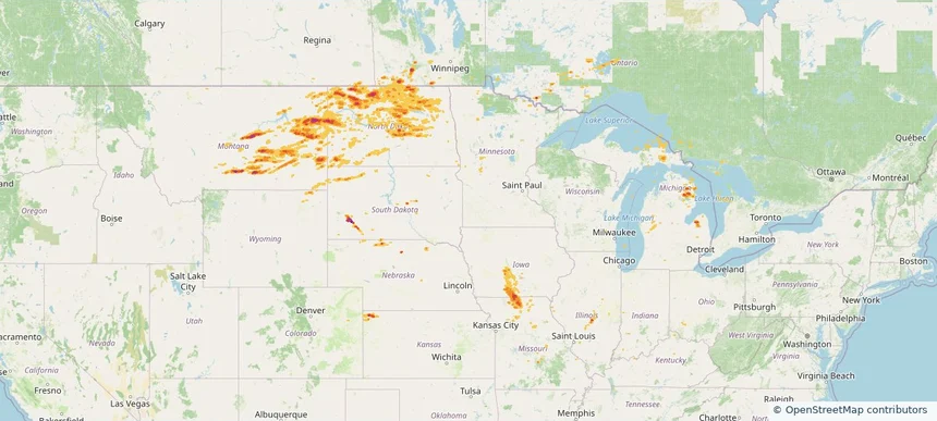
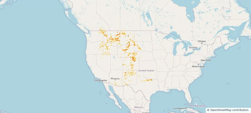
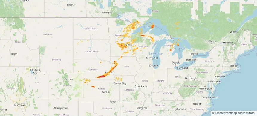
Hail as large as 1.75 inches was reported near Clear Lake, MICHIGAN. Wind up to 110 mph was reported near Ne, NE. 10 tornadoes were reported, including one near Otoe, NEBRASKA. The storm had 7 official hail reports.
Review storm footprints, hail swaths, reports, and replay access. Create a free account to save your setup and move into map access when a storm matters.

Hail as large as 1.75 inches was reported near Clear Lake, MICHIGAN. Wind up to 110 mph was reported near Ne, NE. 10 tornadoes were reported, including one near Otoe, NEBRASKA. The storm had 7 official hail reports.

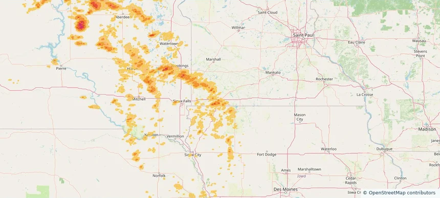
Hail as large as 1.75 inches was reported near Powers Lake, NORTH DAKOTA. Wind up to 105 mph was reported near 4 miles south-southwest of Mekinock, ND. 25 tornadoes were reported, including one near Grand Forks, NORTH DAKOTA. The storm had 13 official hail reports.

Local hail summary for the Worthington area: 4.48 square miles of estimated ground-hail footprint; highest mapped band 1+ inches. 0 official hail report(s) within the summary area. Exposure estimates are not confirmed property damage. Open the map to explore the full coverage included in your access. Statistics cover the mapped hail footprint inside the Census boundary of Worthington, MN, not the entire region. The place had 13,947 residents in the 2020 Census. A boundary intersection does not mean the whole community was hit. Estimated housing exposure: 1,744 units in 1-inch-or-larger bands, including 0 in 1.5-inch-or-larger bands and 0 in 2-inch-or-larger bands.

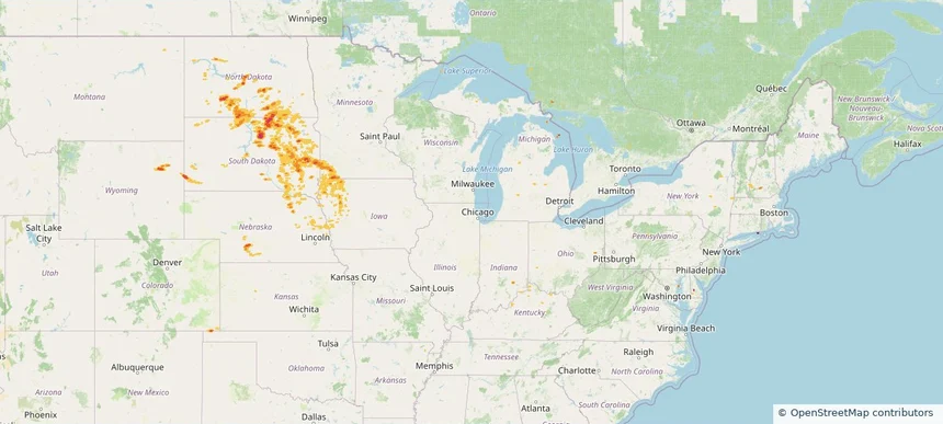
Hail as large as 2.75 inches was reported near Bowdle, SOUTH DAKOTA. Wind up to 114 mph was reported near 2 miles northeast of Sandy Shore State, SD. 4 tornadoes were reported, including one near Mcpherson, SOUTH DAKOTA. The storm had 12 official hail reports.

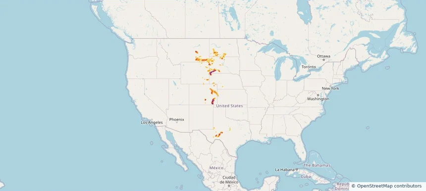
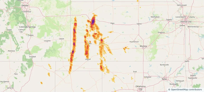
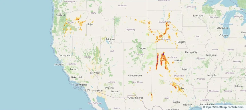
Hail as large as 3.00 inches was reported near Kim, COLORADO. Wind up to 87 mph was reported near Moore, TEXAS. 4 tornadoes were reported, including one near Hamilton, KANSAS. The storm had 7 official hail reports.

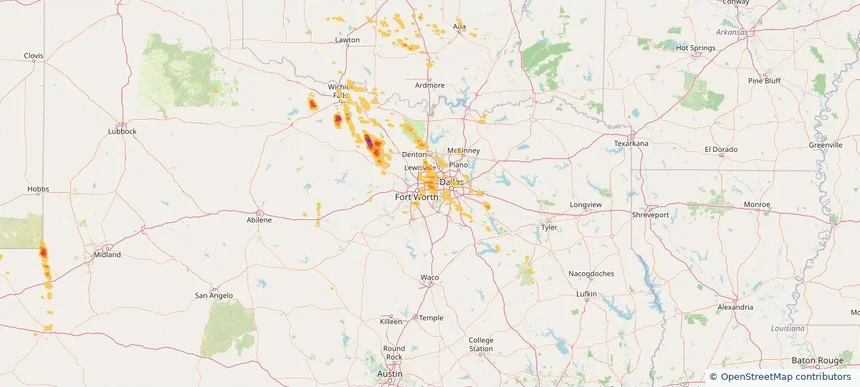
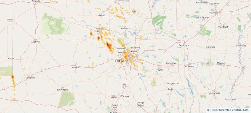
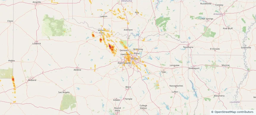
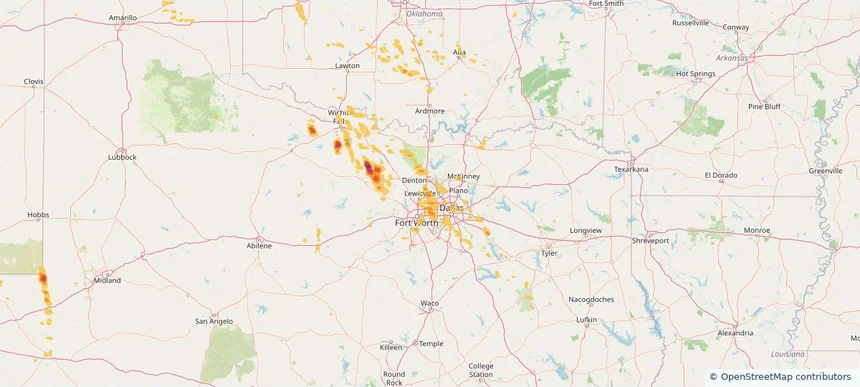
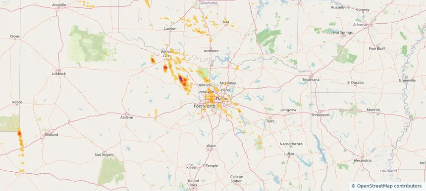
Local hail summary for the Arlington area: 4.54 square miles of estimated ground-hail footprint; highest mapped band 1+ inches. 0 official hail report(s) within the summary area. Exposure estimates are not confirmed property damage. Open the map to explore the full coverage included in your access. Statistics cover the mapped hail footprint inside the Census boundary of Arlington, TX, not the entire region. The place had 394,266 residents in the 2020 Census. A boundary intersection does not mean the whole community was hit. Estimated housing exposure: 4,532 units in 1-inch-or-larger bands, including 0 in 1.5-inch-or-larger bands and 0 in 2-inch-or-larger bands.

Local hail summary for the Bedford area: 5.75 square miles of estimated ground-hail footprint; highest mapped band 1+ inches. 0 official hail report(s) within the summary area. Exposure estimates are not confirmed property damage. Open the map to explore the full coverage included in your access. Statistics cover the mapped hail footprint inside the Census boundary of Bedford, TX, not the entire region. The place had 49,928 residents in the 2020 Census. A boundary intersection does not mean the whole community was hit. Estimated housing exposure: 6,409 units in 1-inch-or-larger bands, including 0 in 1.5-inch-or-larger bands and 0 in 2-inch-or-larger bands.

Local hail summary for the Colleyville area: 1.10 square miles of estimated ground-hail footprint; highest mapped band 1+ inches. 0 official hail report(s) within the summary area. Exposure estimates are not confirmed property damage. Open the map to explore the full coverage included in your access. Statistics cover the mapped hail footprint inside the Census boundary of Colleyville, TX, not the entire region. The place had 26,057 residents in the 2020 Census. A boundary intersection does not mean the whole community was hit. Estimated housing exposure: 645 units in 1-inch-or-larger bands, including 0 in 1.5-inch-or-larger bands and 0 in 2-inch-or-larger bands.

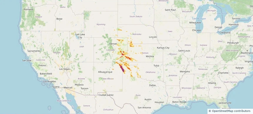
Local hail summary for the Dodge City area: 14.76 square miles of estimated ground-hail footprint; highest mapped band 1+ inches. 0 official hail report(s) within the summary area. Exposure estimates are not confirmed property damage. Open the map to explore the full coverage included in your access. Statistics cover the mapped hail footprint inside the Census boundary of Dodge City, KS, not the entire region. The place had 27,788 residents in the 2020 Census. A boundary intersection does not mean the whole community was hit. Estimated housing exposure: 599 units in 1-inch-or-larger bands, including 0 in 1.5-inch-or-larger bands and 0 in 2-inch-or-larger bands.

Local hail summary for the Flower Mound area: 10.84 square miles of estimated ground-hail footprint; highest mapped band 1+ inches. 0 official hail report(s) within the summary area. Exposure estimates are not confirmed property damage. Open the map to explore the full coverage included in your access. Statistics cover the mapped hail footprint inside the Census boundary of Flower Mound, TX, not the entire region. The place had 75,956 residents in the 2020 Census. A boundary intersection does not mean the whole community was hit. Estimated housing exposure: 1,186 units in 1-inch-or-larger bands, including 0 in 1.5-inch-or-larger bands and 0 in 2-inch-or-larger bands.

Local hail summary for the Grapevine area: 4.32 square miles of estimated ground-hail footprint; highest mapped band 1+ inches. 0 official hail report(s) within the summary area. Exposure estimates are not confirmed property damage. Open the map to explore the full coverage included in your access. Statistics cover the mapped hail footprint inside the Census boundary of Grapevine, TX, not the entire region. The place had 50,631 residents in the 2020 Census. A boundary intersection does not mean the whole community was hit. Estimated housing exposure: 345 units in 1-inch-or-larger bands, including 0 in 1.5-inch-or-larger bands and 0 in 2-inch-or-larger bands.

Hail as large as 3.00 inches was reported near Manter, KANSAS. Wind up to 110 mph was reported near 2 miles north of Dodge City, KS. 13 tornadoes were reported, including one near Hamilton, KANSAS. The storm had 14 official hail reports.

Hail as large as 1.50 inches was reported near Stratton, NEBRASKA. Wind up to 108 mph was reported near 2 miles northeast of Johnson City, KS. 3 tornadoes were reported, including one near Hamilton, KANSAS. The storm had 2 official hail reports.

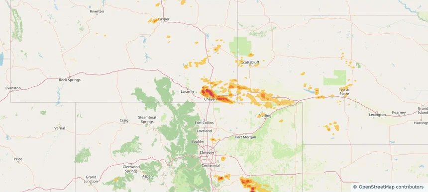
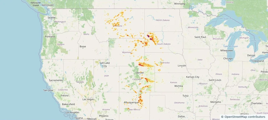
Local hail summary for the Cheyenne area: 30.20 square miles of estimated ground-hail footprint; highest mapped band 2+ inches. 1 official hail report(s) within the summary area. Exposure estimates are not confirmed property damage. Open the map to explore the full coverage included in your access. Statistics cover the mapped hail footprint inside the Census boundary of Cheyenne, WY, not the entire region. The place had 65,132 residents in the 2020 Census. A boundary intersection does not mean the whole community was hit. Estimated housing exposure: 29,278 units in 1-inch-or-larger bands, including 17,806 in 1.5-inch-or-larger bands and 2,045 in 2-inch-or-larger bands.

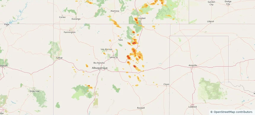
Local hail summary for the Las Vegas area: 3.29 square miles of estimated ground-hail footprint; highest mapped band 1+ inches. 0 official hail report(s) within the summary area. Exposure estimates are not confirmed property damage. Open the map to explore the full coverage included in your access. Statistics cover the mapped hail footprint inside the Census boundary of Las Vegas, NM, not the entire region. The place had 13,166 residents in the 2020 Census. A boundary intersection does not mean the whole community was hit. Estimated housing exposure: 1,348 units in 1-inch-or-larger bands, including 0 in 1.5-inch-or-larger bands and 0 in 2-inch-or-larger bands.

Hail as large as 3.00 inches was reported near Arcola, WYOMING. Wind up to 87 mph was reported near Moore, TEXAS. 3 tornadoes were reported, including one near Hamilton, KANSAS. The storm had 8 official hail reports.

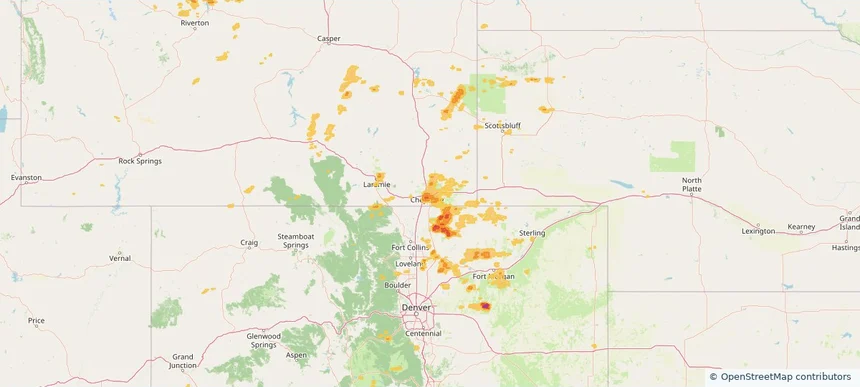
Local hail summary for the Cheyenne area: 32.00 square miles of estimated ground-hail footprint; highest mapped band 1.5+ inches. 1 official hail report(s) within the summary area. Exposure estimates are not confirmed property damage. Open the map to explore the full coverage included in your access. Statistics cover the mapped hail footprint inside the Census boundary of Cheyenne, WY, not the entire region. The place had 65,132 residents in the 2020 Census. A boundary intersection does not mean the whole community was hit. Estimated housing exposure: 13,853 units in 1-inch-or-larger bands, including 1,791 in 1.5-inch-or-larger bands and 0 in 2-inch-or-larger bands.

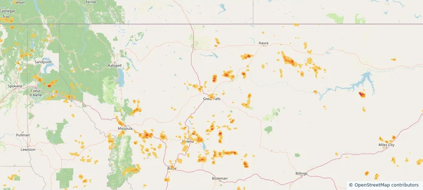
Local hail summary for the Great Falls area: 4.67 square miles of estimated ground-hail footprint; highest mapped band 1+ inches. 0 official hail report(s) within the summary area. Exposure estimates are not confirmed property damage. Open the map to explore the full coverage included in your access. Statistics cover the mapped hail footprint inside the Census boundary of Great Falls, MT, not the entire region. The place had 60,442 residents in the 2020 Census. A boundary intersection does not mean the whole community was hit. Estimated housing exposure: 2,093 units in 1-inch-or-larger bands, including 0 in 1.5-inch-or-larger bands and 0 in 2-inch-or-larger bands.

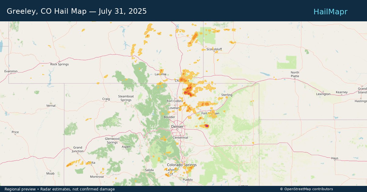
Local hail summary for the Greeley area: 6.53 square miles of estimated ground-hail footprint; highest mapped band 1+ inches. 0 official hail report(s) within the summary area. Exposure estimates are not confirmed property damage. Open the map to explore the full coverage included in your access. Statistics cover the mapped hail footprint inside the Census boundary of Greeley, CO, not the entire region. The place had 108,795 residents in the 2020 Census. A boundary intersection does not mean the whole community was hit. Estimated housing exposure: 1,672 units in 1-inch-or-larger bands, including 0 in 1.5-inch-or-larger bands and 0 in 2-inch-or-larger bands.

Hail as large as 1.25 inches was reported near (Cys)Cheyenne Airport, WYOMING. Wind up to 86 mph was reported near 10 miles west of Knolls, UT. 4 tornadoes were reported, including one near Bernalillo, NEW MEXICO. The storm had 4 official hail reports.

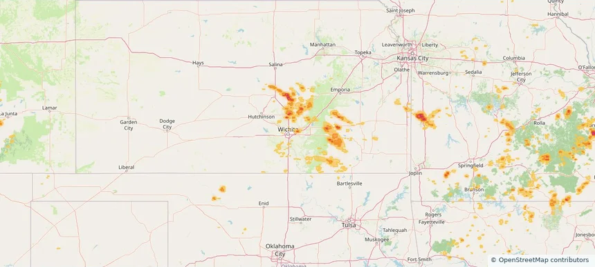
Local hail summary for the Andover area: 1.46 square miles of estimated ground-hail footprint; highest mapped band 1.5+ inches. 0 official hail report(s) within the summary area. Exposure estimates are not confirmed property damage. Open the map to explore the full coverage included in your access. Statistics cover the mapped hail footprint inside the Census boundary of Andover, KS, not the entire region. The place had 14,892 residents in the 2020 Census. A boundary intersection does not mean the whole community was hit. Estimated housing exposure: 826 units in 1-inch-or-larger bands, including 0 in 1.5-inch-or-larger bands and 0 in 2-inch-or-larger bands.

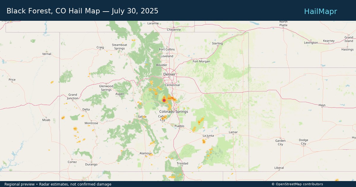
Local hail summary for the Black Forest area: 9.38 square miles of estimated ground-hail footprint; highest mapped band 1+ inches. 0 official hail report(s) within the summary area. Exposure estimates are not confirmed property damage. Open the map to explore the full coverage included in your access. Statistics cover the mapped hail footprint inside the Census boundary of Black Forest, CO, not the entire region. The place had 15,097 residents in the 2020 Census. A boundary intersection does not mean the whole community was hit. Estimated housing exposure: 489 units in 1-inch-or-larger bands, including 0 in 1.5-inch-or-larger bands and 0 in 2-inch-or-larger bands.

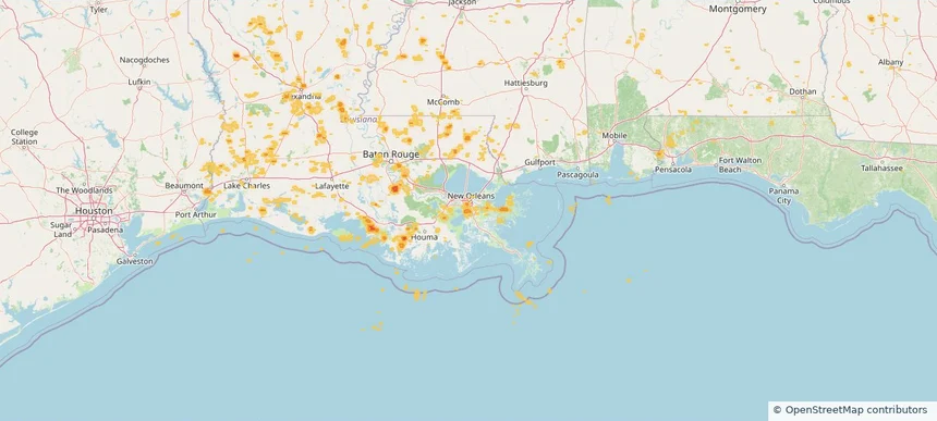
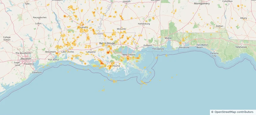
Local hail summary for the Estelle area: 4.40 square miles of estimated ground-hail footprint; highest mapped band 1+ inches. 0 official hail report(s) within the summary area. Exposure estimates are not confirmed property damage. Open the map to explore the full coverage included in your access. Statistics cover the mapped hail footprint inside the Census boundary of Estelle, LA, not the entire region. The place had 17,952 residents in the 2020 Census. A boundary intersection does not mean the whole community was hit. Estimated housing exposure: 5,166 units in 1-inch-or-larger bands, including 0 in 1.5-inch-or-larger bands and 0 in 2-inch-or-larger bands.

Local hail summary for the Marrero area: 0.98 square miles of estimated ground-hail footprint; highest mapped band 1+ inches. 0 official hail report(s) within the summary area. Exposure estimates are not confirmed property damage. Open the map to explore the full coverage included in your access. Statistics cover the mapped hail footprint inside the Census boundary of Marrero, LA, not the entire region. The place had 32,382 residents in the 2020 Census. A boundary intersection does not mean the whole community was hit. Estimated housing exposure: 1,651 units in 1-inch-or-larger bands, including 0 in 1.5-inch-or-larger bands and 0 in 2-inch-or-larger bands.
Yes. The storm library supports coverage-area filtering so you can find hail maps and hail swaths in a target service area.
The library focuses on published hail events, including ready storm maps and live storms once hail has been detected and a public swath is available.
Yes. They are built to help roofers, adjusters, restoration teams, and property owners review storm footprints before purchase.