Storm library

Browse live and recent hail maps.

Review storm footprints, hail swaths, reports, and replay access. Create a free account to save your setup and move into map access when a storm matters.

Search filters
Clear
Newest storms first by default.
Don't see your storm? Request a qualifying storm map and we'll email you when it is ready.
Showing 1609-1632 of 2404 storms · Page 68 of 101
‹ 1 67 68 69 101 ›
Request a storm map

Tell us about the storm and we'll build the map. Once it's published you'll get an email and can purchase it from the library — just like any other event.

Hillsborough, NJ — September 06, 2025 — regional hail footprint preview
Storm footprint preview

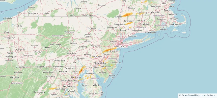
Local hail summary for the Hillsborough area: 1.00 square miles of estimated ground-hail footprint; highest mapped band 1+ inches. 1 official hail report(s) within the summary area. Exposure estimates are not confirmed property damage. Open the map to explore the full coverage included in your access. Statistics cover the mapped hail footprint inside the Census boundary of Hillsborough, NJ, not the entire region. The place had 22,214 residents in the 2020 Census. A boundary intersection does not mean the whole community was hit. Estimated housing exposure: 128 units in 1-inch-or-larger bands, including 0 in 1.5-inch-or-larger bands and 0 in 2-inch-or-larger bands.

Affected states: Hillsborough area, NJ
1+ inRadar size estimate 392Population Affected 147Houses Affected HailHazards FreeAccount signup
Kennesaw, GA — September 06, 2025 — regional hail footprint preview
Storm footprint preview

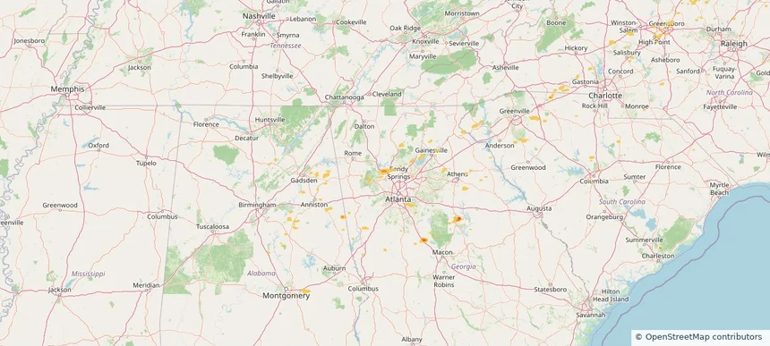
Local hail summary for the Kennesaw area: 1.89 square miles of estimated ground-hail footprint; highest mapped band 1+ inches. 0 official hail report(s) within the summary area. Exposure estimates are not confirmed property damage. Open the map to explore the full coverage included in your access. Statistics cover the mapped hail footprint inside the Census boundary of Kennesaw, GA, not the entire region. The place had 33,036 residents in the 2020 Census. A boundary intersection does not mean the whole community was hit. Estimated housing exposure: 2,562 units in 1-inch-or-larger bands, including 0 in 1.5-inch-or-larger bands and 0 in 2-inch-or-larger bands.

Affected states: Kennesaw area, GA
1+ inRadar size estimate 8,657Population Affected 3,118Houses Affected HailHazards FreeAccount signup
Historical Hail — 2025-09-06 — regional hail footprint preview
Storm footprint preview
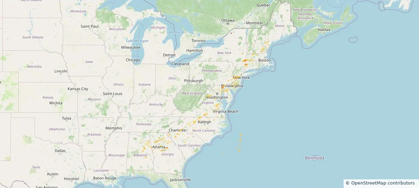
Sep 6, 2025 7:00 AM to Sep 7, 2025 7:00 AM CST

Historical Hail — 2025-09-06

Hail as large as 1.00 inches was reported near Oak Grove, GEORGIA. Wind up to 74 mph was reported near Westfield-Barnes Ap, MA. 12 tornadoes were reported, including one near Worcester, MASSACHUSETTS. The storm had 6 official hail reports.

Affected states: National, AL, CT, DE, GA, ME, MD, MA, NH, NJ, NY, NC, PA, SC, VA
1.47 inRadar size estimate 497,283Population Affected 191,578Houses Affected Hail · Wind · TornadoHazards FreeAccount signup
Berea, KY — September 05, 2025 — regional hail footprint preview
Storm footprint preview

Local hail summary for the Berea area: 2.38 square miles of estimated ground-hail footprint; highest mapped band 1.5+ inches. 0 official hail report(s) within the summary area. Exposure estimates are not confirmed property damage. Open the map to explore the full coverage included in your access. Statistics cover the mapped hail footprint inside the Census boundary of Berea, KY, not the entire region. The place had 15,539 residents in the 2020 Census. A boundary intersection does not mean the whole community was hit. Estimated housing exposure: 158 units in 1-inch-or-larger bands, including 118 in 1.5-inch-or-larger bands and 0 in 2-inch-or-larger bands.

Affected states: Berea area, KY
1.5+ inRadar size estimate 405Population Affected 187Houses Affected HailHazards FreeAccount signup
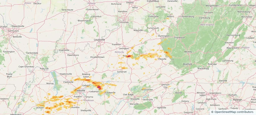
Celina, TX — September 05, 2025 — regional hail footprint preview
Storm footprint preview

Local hail summary for the Celina area: 21.80 square miles of estimated ground-hail footprint; highest mapped band 1.5+ inches. 0 official hail report(s) within the summary area. Exposure estimates are not confirmed property damage. Open the map to explore the full coverage included in your access. Statistics cover the mapped hail footprint inside the Census boundary of Celina, TX, not the entire region. The place had 16,739 residents in the 2020 Census. A boundary intersection does not mean the whole community was hit. Estimated housing exposure: 689 units in 1-inch-or-larger bands, including 338 in 1.5-inch-or-larger bands and 0 in 2-inch-or-larger bands.

Affected states: Celina area, TX
1.5+ inRadar size estimate 8,342Population Affected 2,719Houses Affected HailHazards FreeAccount signup
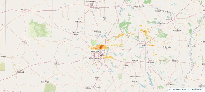
Frisco, TX — September 05, 2025 — regional hail footprint preview
Storm footprint preview

Local hail summary for the Frisco area: 5.73 square miles of estimated ground-hail footprint; highest mapped band 1+ inches. 0 official hail report(s) within the summary area. Exposure estimates are not confirmed property damage. Open the map to explore the full coverage included in your access. Statistics cover the mapped hail footprint inside the Census boundary of Frisco, TX, not the entire region. The place had 200,509 residents in the 2020 Census. A boundary intersection does not mean the whole community was hit. Estimated housing exposure: 3,384 units in 1-inch-or-larger bands, including 0 in 1.5-inch-or-larger bands and 0 in 2-inch-or-larger bands.

Affected states: Frisco area, TX
1+ inRadar size estimate 16,014Population Affected 4,851Houses Affected HailHazards FreeAccount signup
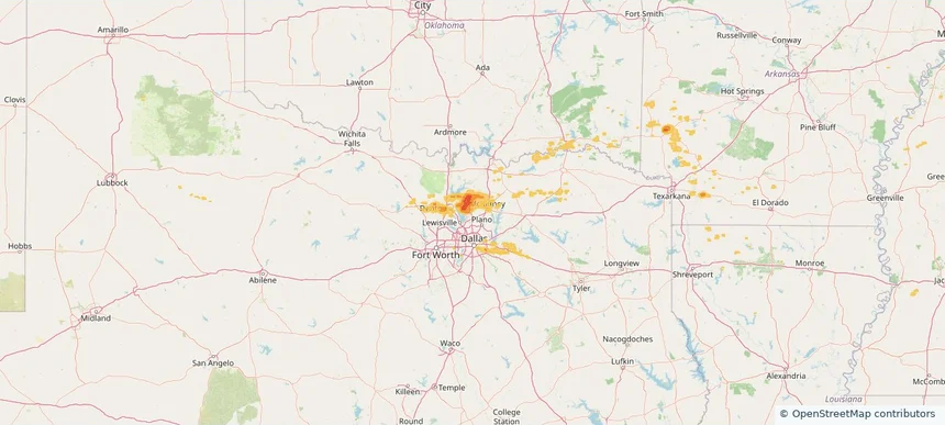
Little Elm, TX — September 05, 2025 — regional hail footprint preview
Storm footprint preview

Local hail summary for the Little Elm area: 17.56 square miles of estimated ground-hail footprint; highest mapped band 1.5+ inches. 0 official hail report(s) within the summary area. Exposure estimates are not confirmed property damage. Open the map to explore the full coverage included in your access. Statistics cover the mapped hail footprint inside the Census boundary of Little Elm, TX, not the entire region. The place had 46,453 residents in the 2020 Census. A boundary intersection does not mean the whole community was hit. Estimated housing exposure: 12,693 units in 1-inch-or-larger bands, including 1,780 in 1.5-inch-or-larger bands and 0 in 2-inch-or-larger bands.

Affected states: Little Elm area, TX
1.5+ inRadar size estimate 43,406Population Affected 15,366Houses Affected HailHazards FreeAccount signup
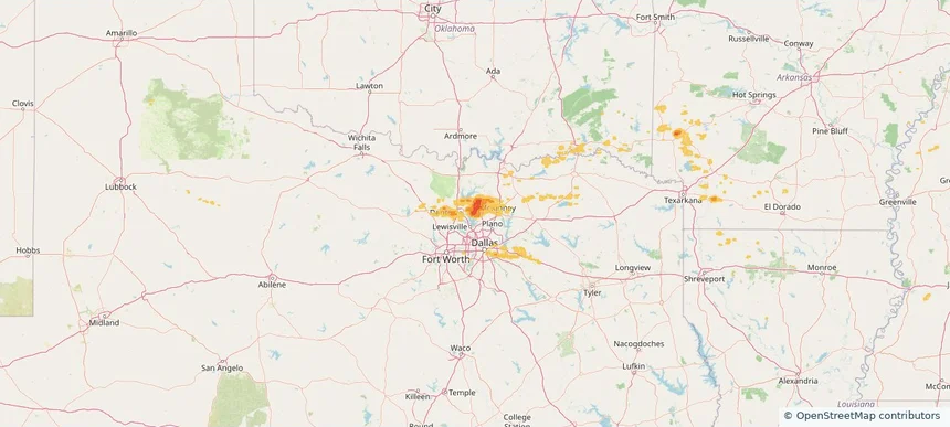
Nashville-Davidson metropolitan government (balance), TN — September 05, 2025 — regional hail footprint preview
Storm footprint preview

Local hail summary for the Nashville-Davidson metropolitan government (balance) area: 8.72 square miles of estimated ground-hail footprint; highest mapped band 1+ inches. 0 official hail report(s) within the summary area. Exposure estimates are not confirmed property damage. Open the map to explore the full coverage included in your access. Statistics cover the mapped hail footprint inside the Census boundary of Nashville-Davidson metropolitan government (balance), TN, not the entire region. The place had 689,447 residents in the 2020 Census. A boundary intersection does not mean the whole community was hit. Estimated housing exposure: 345 units in 1-inch-or-larger bands, including 0 in 1.5-inch-or-larger bands and 0 in 2-inch-or-larger bands.

Affected states: Nashville-Davidson metropolitan government (balance) area, TN
1+ inRadar size estimate 1,427Population Affected 606Houses Affected HailHazards FreeAccount signup
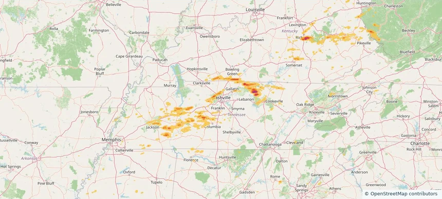
Prosper, TX — September 05, 2025 — regional hail footprint preview
Storm footprint preview

Local hail summary for the Prosper area: 9.30 square miles of estimated ground-hail footprint; highest mapped band 1.5+ inches. 0 official hail report(s) within the summary area. Exposure estimates are not confirmed property damage. Open the map to explore the full coverage included in your access. Statistics cover the mapped hail footprint inside the Census boundary of Prosper, TX, not the entire region. The place had 30,174 residents in the 2020 Census. A boundary intersection does not mean the whole community was hit. Estimated housing exposure: 1,896 units in 1-inch-or-larger bands, including 0 in 1.5-inch-or-larger bands and 0 in 2-inch-or-larger bands.

Affected states: Prosper area, TX
1.5+ inRadar size estimate 9,345Population Affected 3,197Houses Affected HailHazards FreeAccount signup
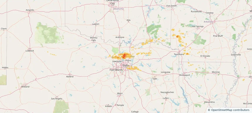
Historical Hail — 2025-09-05 — regional hail footprint preview
Storm footprint preview
Sep 5, 2025 7:00 AM to Sep 6, 2025 7:00 AM CST

Historical Hail — 2025-09-05

Hail as large as 2.50 inches was reported near 6 miles north of Gainesboro, TN. Wind up to 90 mph was reported near Ar, AR. The storm had 17 hail reports.

Affected states: National, AL, AZ, AR, CA, GA, KY, LA, MS, NV, OH, OK, TN, TX, UT, WV
2.5 inRadar size estimate 553,843Population Affected 206,911Houses Affected Hail · WindHazards FreeAccount signup
Derby, KS — September 03, 2025 — regional hail footprint preview
Storm footprint preview

Local hail summary for the Derby area: 1.91 square miles of estimated ground-hail footprint; highest mapped band 1+ inches. 0 official hail report(s) within the summary area. Exposure estimates are not confirmed property damage. Open the map to explore the full coverage included in your access. Statistics cover the mapped hail footprint inside the Census boundary of Derby, KS, not the entire region. The place had 25,625 residents in the 2020 Census. A boundary intersection does not mean the whole community was hit. Estimated housing exposure: 1,398 units in 1-inch-or-larger bands, including 0 in 1.5-inch-or-larger bands and 0 in 2-inch-or-larger bands.

Affected states: Derby area, KS
1+ inRadar size estimate 3,824Population Affected 2,024Houses Affected HailHazards FreeAccount signup
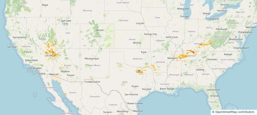
Haysville, KS — September 03, 2025 — regional hail footprint preview
Storm footprint preview

Local hail summary for the Haysville area: 4.66 square miles of estimated ground-hail footprint; highest mapped band 1+ inches. 0 official hail report(s) within the summary area. Exposure estimates are not confirmed property damage. Open the map to explore the full coverage included in your access. Statistics cover the mapped hail footprint inside the Census boundary of Haysville, KS, not the entire region. The place had 11,262 residents in the 2020 Census. A boundary intersection does not mean the whole community was hit. Estimated housing exposure: 4,216 units in 1-inch-or-larger bands, including 0 in 1.5-inch-or-larger bands and 0 in 2-inch-or-larger bands.

Affected states: Haysville area, KS
1+ inRadar size estimate 11,201Population Affected 4,352Houses Affected HailHazards FreeAccount signup
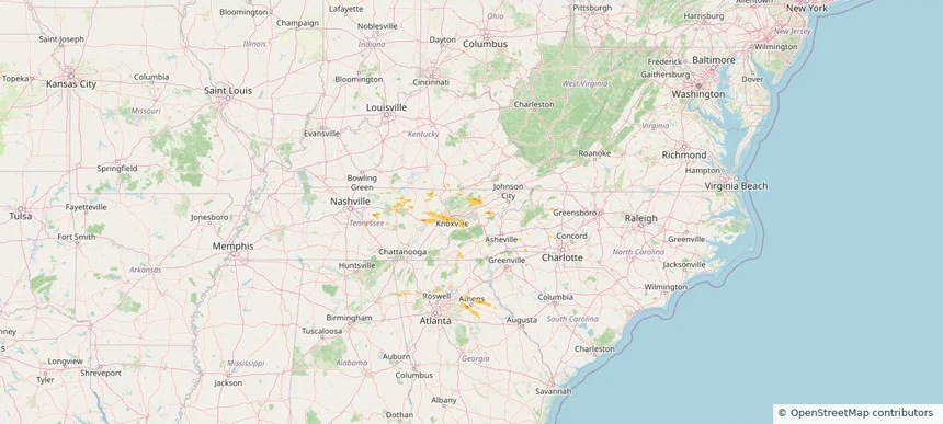
McPherson, KS — September 03, 2025 — regional hail footprint preview
Storm footprint preview

Local hail summary for the McPherson area: 7.49 square miles of estimated ground-hail footprint; highest mapped band 1.5+ inches. 2 official hail report(s) within the summary area. Exposure estimates are not confirmed property damage. Open the map to explore the full coverage included in your access. Statistics cover the mapped hail footprint inside the Census boundary of McPherson, KS, not the entire region. The place had 14,082 residents in the 2020 Census. A boundary intersection does not mean the whole community was hit. Estimated housing exposure: 6,128 units in 1-inch-or-larger bands, including 5,749 in 1.5-inch-or-larger bands and 0 in 2-inch-or-larger bands.

Affected states: McPherson area, KS
1.5+ inRadar size estimate 13,887Population Affected 6,128Houses Affected HailHazards FreeAccount signup
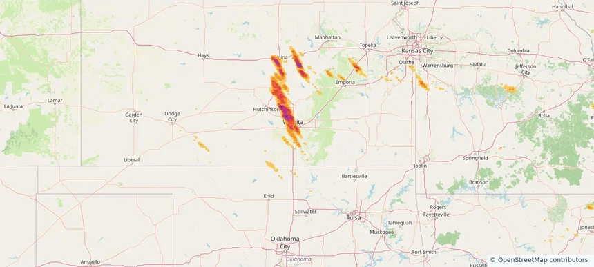
Salina, KS — September 03, 2025 — regional hail footprint preview
Storm footprint preview

Local hail summary for the Salina area: 11.38 square miles of estimated ground-hail footprint; highest mapped band 2+ inches. 0 official hail report(s) within the summary area. Exposure estimates are not confirmed property damage. Open the map to explore the full coverage included in your access. Statistics cover the mapped hail footprint inside the Census boundary of Salina, KS, not the entire region. The place had 46,889 residents in the 2020 Census. A boundary intersection does not mean the whole community was hit. Estimated housing exposure: 714 units in 1-inch-or-larger bands, including 0 in 1.5-inch-or-larger bands and 0 in 2-inch-or-larger bands.

Affected states: Salina area, KS
2+ inRadar size estimate 15,471Population Affected 7,056Houses Affected HailHazards FreeAccount signup
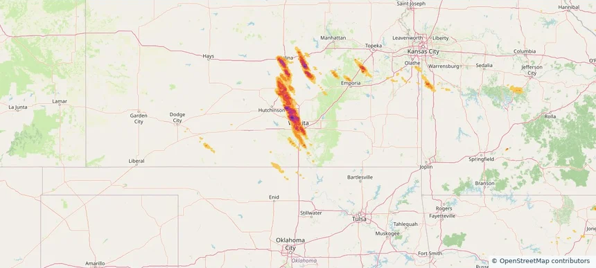
Wichita, KS — September 03, 2025 — regional hail footprint preview
Storm footprint preview

Local hail summary for the Wichita area: 118.43 square miles of estimated ground-hail footprint; highest mapped band 2+ inches. 2 official hail report(s) within the summary area. Exposure estimates are not confirmed property damage. Open the map to explore the full coverage included in your access. Statistics cover the mapped hail footprint inside the Census boundary of Wichita, KS, not the entire region. The place had 397,532 residents in the 2020 Census. A boundary intersection does not mean the whole community was hit. Estimated housing exposure: 125,247 units in 1-inch-or-larger bands, including 53,998 in 1.5-inch-or-larger bands and 1,986 in 2-inch-or-larger bands.

Affected states: Wichita area, KS
2+ inRadar size estimate 301,350Population Affected 134,640Houses Affected HailHazards FreeAccount signup
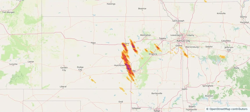
Historical Hail — 2025-09-03 — regional hail footprint preview
Storm footprint preview
Sep 3, 2025 7:00 AM to Sep 4, 2025 7:00 AM CST

Historical Hail — 2025-09-03

Hail as large as 3.00 inches was reported near Ramona, KANSAS. Wind up to 86 mph was reported near 3 miles southeast of Maize, KS. The storm had 24 official hail reports.

Affected states: National, AL, AR, IL, IN, IA, KS, KY, MS, MO, OK, TN
3.4 inRadar size estimate 489,863Population Affected 215,063Houses Affected Hail · WindHazards FreeAccount signup
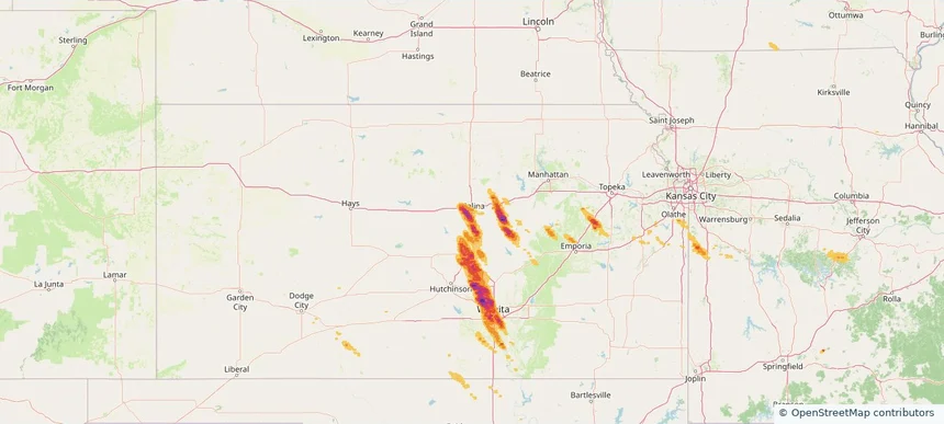
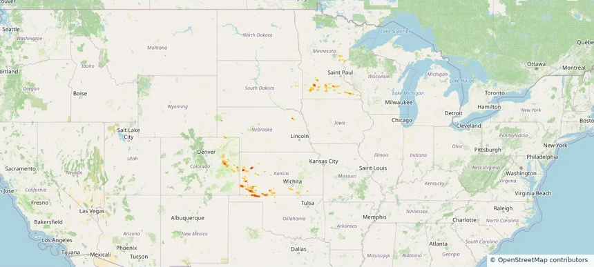
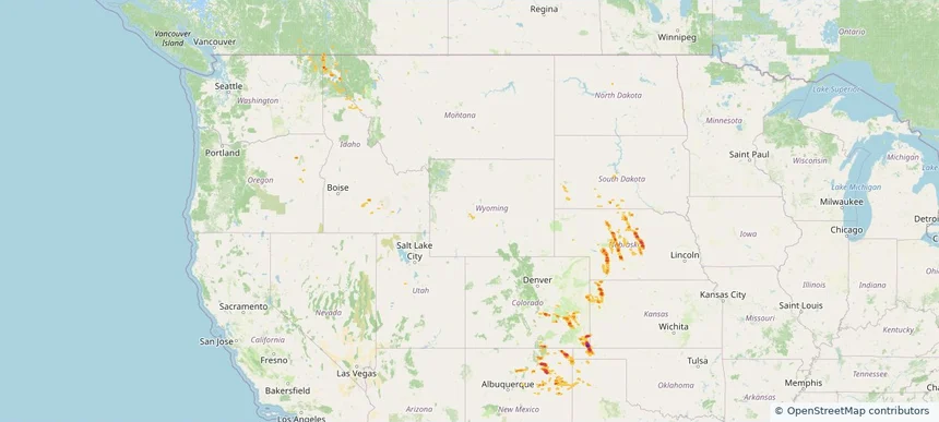
Historical Hail — 2025-08-29 — regional hail footprint preview
Storm footprint preview
Aug 29, 2025 7:00 AM to Aug 30, 2025 7:00 AM CST

Historical Hail — 2025-08-29

Hail as large as 1.50 inches was reported near Sturgis, OKLAHOMA. Wind up to 109 mph was reported near Cheyenne, COLORADO. A tornado was reported near Mercer, NORTH DAKOTA. The storm had 5 official hail reports.

Affected states: National, CO, ID, KS, MT, NE, NM, OK, OR, SD, TX, WA, WY
3.0 inRadar size estimate 40,693Population Affected 19,559Houses Affected Hail · Wind · TornadoHazards FreeAccount signup
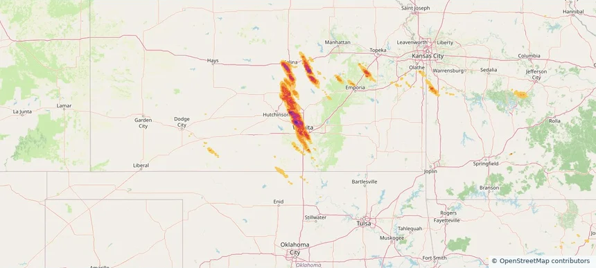
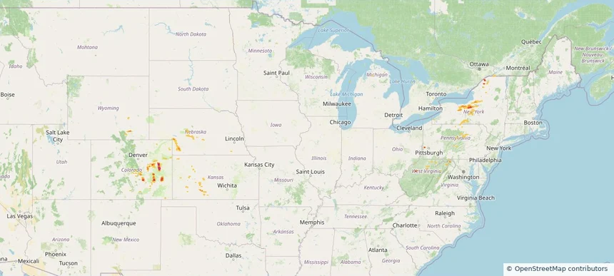
Historical Hail — 2025-08-27 — regional hail footprint preview
Storm footprint preview
Aug 27, 2025 7:00 AM to Aug 28, 2025 7:00 AM CST

Historical Hail — 2025-08-27

Hail as large as 1.00 inches was reported near Lucan, MINNESOTA. Wind up to 109 mph was reported near Cheyenne, COLORADO. A tornado was reported near Goodhue, MINNESOTA. The storm had 4 official hail reports.

Affected states: National, CO, KS, MN, NE, OK
2.47 inRadar size estimate 23,456Population Affected 9,891Houses Affected Hail · Wind · TornadoHazards FreeAccount signup
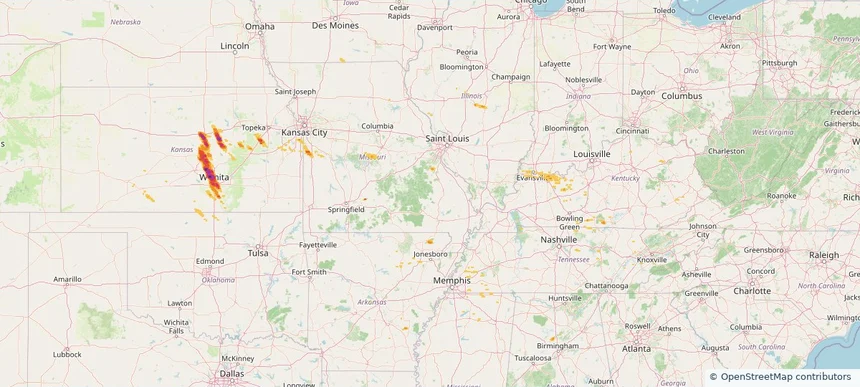
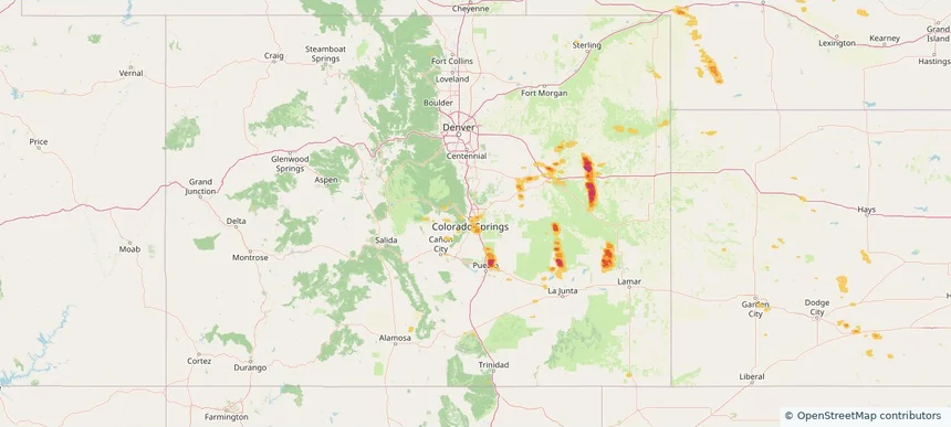
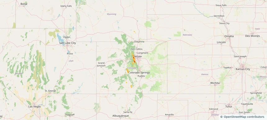
Colorado Springs, CO — August 24, 2025 — regional hail footprint preview
Storm footprint preview

Local hail summary for the Colorado Springs area: 14.55 square miles of estimated ground-hail footprint; highest mapped band 1+ inches. 1 official hail report(s) within the summary area. Exposure estimates are not confirmed property damage. Open the map to explore the full coverage included in your access. Statistics cover the mapped hail footprint inside the Census boundary of Colorado Springs, CO, not the entire region. The place had 478,961 residents in the 2020 Census. A boundary intersection does not mean the whole community was hit. Estimated housing exposure: 1,508 units in 1-inch-or-larger bands, including 0 in 1.5-inch-or-larger bands and 0 in 2-inch-or-larger bands.

Affected states: Colorado Springs area, CO
1+ inRadar size estimate 59,488Population Affected 26,705Houses Affected HailHazards FreeAccount signup
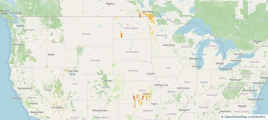
Historical Hail — 2025-08-21 — regional hail footprint preview
Storm footprint preview
Aug 21, 2025 7:00 AM to Aug 22, 2025 7:00 AM CST

Historical Hail — 2025-08-21

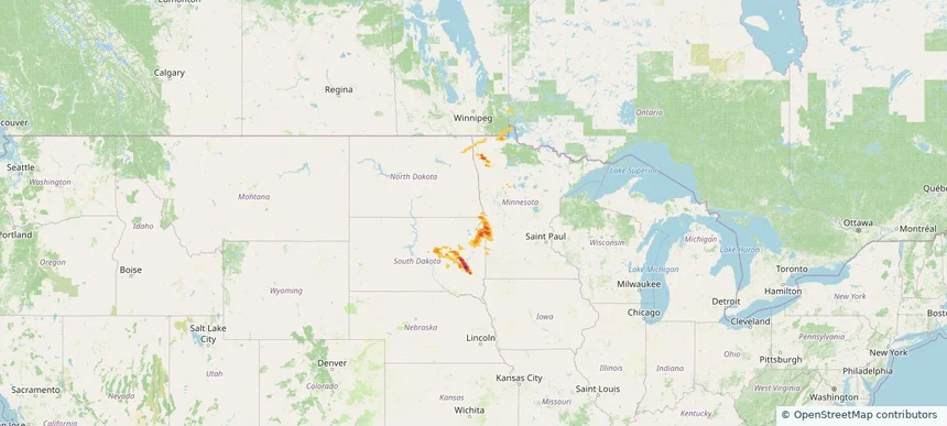
Hail as large as 1.00 inches was reported near Big Stone City, SOUTH DAKOTA. Wind up to 70 mph was reported near Mn, MN. 9 tornadoes were reported, including one near Richland, NORTH DAKOTA. The storm had 1 official hail report.

Affected states: National, MN, ND, SD
3.0 inRadar size estimate 41,478Population Affected 20,983Houses Affected Hail · Wind · TornadoHazards FreeAccount signup
Page 68 of 101
‹ 1 67 68 69 101 ›

Frequently asked questions

Can I search hail maps by coverage area?

Yes. The storm library supports coverage-area filtering so you can find hail maps and hail swaths in a target service area.

What kinds of storms appear in the HailMapr library?

The library focuses on published hail events, including ready storm maps and live storms once hail has been detected and a public swath is available.

Are HailMapr storm pages useful for roofers and adjusters?

Yes. They are built to help roofers, adjusters, restoration teams, and property owners review storm footprints before purchase.