
Storm library

Browse live and recent hail maps.

Review storm footprints, hail swaths, reports, and replay access. Create a free account to save your setup and move into map access when a storm matters.

Search filters
Clear
Newest storms first by default.
Don't see your storm? Request a qualifying storm map and we'll email you when it is ready.
Showing 1129-1152 of 2395 storms · Page 48 of 100
‹ 1 47 48 49 100 ›
Request a storm map

Tell us about the storm and we'll build the map. Once it's published you'll get an email and can purchase it from the library — just like any other event.

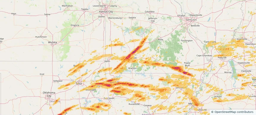
Republic, MO — April 28, 2026 — regional hail footprint preview
Storm footprint preview

Local hail summary for the Republic area: 15.58 square miles of estimated ground-hail footprint; highest mapped band 2+ inches. 1 official hail report(s) within the summary area. Exposure estimates are not confirmed property damage. Open the map to explore the full coverage included in your access. Statistics cover the mapped hail footprint inside the Census boundary of Republic, MO, not the entire region. The place had 18,750 residents in the 2020 Census. A boundary intersection does not mean the whole community was hit. Estimated housing exposure: 7,372 units in 1-inch-or-larger bands, including 5,638 in 1.5-inch-or-larger bands and 1,732 in 2-inch-or-larger bands.

Affected states: Republic area, MO
2+ inRadar size estimate 18,724Population Affected 7,372Houses Affected HailHazards FreeAccount signup
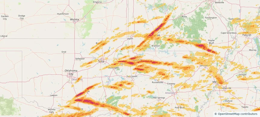
Siloam Springs, AR — April 28, 2026 — regional hail footprint preview
Storm footprint preview

Local hail summary for the Siloam Springs area: 6.67 square miles of estimated ground-hail footprint; highest mapped band 1.5+ inches. 0 official hail report(s) within the summary area. Exposure estimates are not confirmed property damage. Open the map to explore the full coverage included in your access. Statistics cover the mapped hail footprint inside the Census boundary of Siloam Springs, AR, not the entire region. The place had 17,287 residents in the 2020 Census. A boundary intersection does not mean the whole community was hit. Estimated housing exposure: 969 units in 1-inch-or-larger bands, including 159 in 1.5-inch-or-larger bands and 0 in 2-inch-or-larger bands.

Affected states: Siloam Springs area, AR
1.5+ inRadar size estimate 8,460Population Affected 3,282Houses Affected HailHazards FreeAccount signup
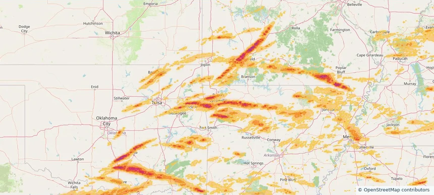
Springdale, AR — April 28, 2026 — regional hail footprint preview
Storm footprint preview

Local hail summary for the Springdale area: 23.67 square miles of estimated ground-hail footprint; highest mapped band 1.5+ inches. 0 official hail report(s) within the summary area. Exposure estimates are not confirmed property damage. Open the map to explore the full coverage included in your access. Statistics cover the mapped hail footprint inside the Census boundary of Springdale, AR, not the entire region. The place had 84,161 residents in the 2020 Census. A boundary intersection does not mean the whole community was hit. Estimated housing exposure: 2,028 units in 1-inch-or-larger bands, including 582 in 1.5-inch-or-larger bands and 0 in 2-inch-or-larger bands.

Affected states: Springdale area, AR
1.5+ inRadar size estimate 33,736Population Affected 11,265Houses Affected HailHazards FreeAccount signup
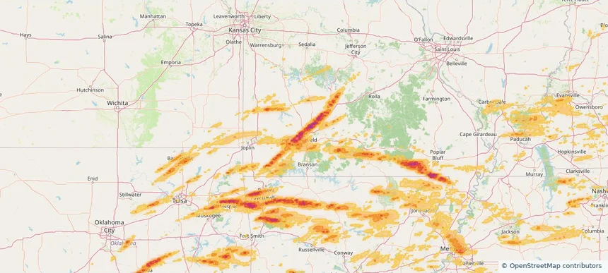
Springfield, MO — April 28, 2026 — regional hail footprint preview
Storm footprint preview

Local hail summary for the Springfield area: 63.39 square miles of estimated ground-hail footprint; highest mapped band 2+ inches. 4 official hail report(s) within the summary area. Exposure estimates are not confirmed property damage. Open the map to explore the full coverage included in your access. Statistics cover the mapped hail footprint inside the Census boundary of Springfield, MO, not the entire region. The place had 169,176 residents in the 2020 Census. A boundary intersection does not mean the whole community was hit. Estimated housing exposure: 36,294 units in 1-inch-or-larger bands, including 11,051 in 1.5-inch-or-larger bands and 70 in 2-inch-or-larger bands.

Affected states: Springfield area, MO
2+ inRadar size estimate 127,937Population Affected 64,557Houses Affected HailHazards FreeAccount signup
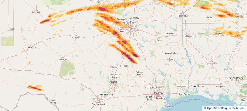
Waco, TX — April 28, 2026 — regional hail footprint preview
Storm footprint preview

Local hail summary for the Waco area: 22.54 square miles of estimated ground-hail footprint; highest mapped band 2.5+ inches. 0 official hail report(s) within the summary area. Exposure estimates are not confirmed property damage. Open the map to explore the full coverage included in your access. Statistics cover the mapped hail footprint inside the Census boundary of Waco, TX, not the entire region. The place had 138,486 residents in the 2020 Census. A boundary intersection does not mean the whole community was hit. Estimated housing exposure: 7,891 units in 1-inch-or-larger bands, including 2,331 in 1.5-inch-or-larger bands and 1,482 in 2-inch-or-larger bands.

Affected states: Waco area, TX
2.5+ inRadar size estimate 20,063Population Affected 8,564Houses Affected HailHazards FreeAccount signup
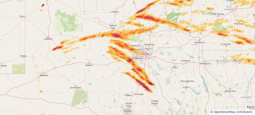
Weatherford, TX — April 28, 2026 — regional hail footprint preview
Storm footprint preview

Local hail summary for the Weatherford area: 9.30 square miles of estimated ground-hail footprint; highest mapped band 2+ inches. 0 official hail report(s) within the summary area. Exposure estimates are not confirmed property damage. Open the map to explore the full coverage included in your access. Statistics cover the mapped hail footprint inside the Census boundary of Weatherford, TX, not the entire region. The place had 30,854 residents in the 2020 Census. A boundary intersection does not mean the whole community was hit. Estimated housing exposure: 1,184 units in 1-inch-or-larger bands, including 0 in 1.5-inch-or-larger bands and 0 in 2-inch-or-larger bands.

Affected states: Weatherford area, TX
2+ inRadar size estimate 8,207Population Affected 3,464Houses Affected HailHazards FreeAccount signup
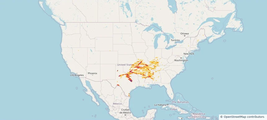
Nationwide Daily Hail, Wind & Tornado Map - April 28, 2026 — regional hail footprint preview
Storm footprint preview
Apr 27, 2026 10:00 PM to Apr 29, 2026 2:00 AM CST

Nationwide Daily Hail, Wind & Tornado Map - April 28, 2026

Hail as large as 4.75 inches was reported near 5 miles southeast of Bois D'Arc, MO. Wind up to 89 mph was reported near 2 miles northwest of Lake Village, AR. 27 tornadoes were reported, including one near 2 miles south of Mooresville, IN. The storm had 99 official hail reports.

Affected states: National, AL, AR, GA, IL, IN, KS, KY, LA, MS, MO, NY, OH, OK, TN, TX
3.5 inRadar size estimate 2,918,420Population Affected 1,243,071Houses Affected Hail · Wind · TornadoHazards FreeAccount signup
Alton, IL — April 27, 2026 — regional hail footprint preview
Storm footprint preview

Local hail summary for the Alton area: 16.96 square miles of estimated ground-hail footprint; highest mapped band 1.5+ inches. 2 official hail report(s) within the summary area. Exposure estimates are not confirmed property damage. Open the map to explore the full coverage included in your access. Statistics cover the mapped hail footprint inside the Census boundary of Alton, IL, not the entire region. The place had 25,676 residents in the 2020 Census. A boundary intersection does not mean the whole community was hit. Estimated housing exposure: 12,771 units in 1-inch-or-larger bands, including 11,178 in 1.5-inch-or-larger bands and 0 in 2-inch-or-larger bands.

Affected states: Alton area, IL
1.5+ inRadar size estimate 25,239Population Affected 12,771Houses Affected HailHazards FreeAccount signup
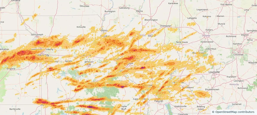
Bella Vista, AR — April 27, 2026 — regional hail footprint preview
Storm footprint preview

Local hail summary for the Bella Vista area: 8.84 square miles of estimated ground-hail footprint; highest mapped band 1+ inches. 0 official hail report(s) within the summary area. Exposure estimates are not confirmed property damage. Open the map to explore the full coverage included in your access. Statistics cover the mapped hail footprint inside the Census boundary of Bella Vista, AR, not the entire region. The place had 30,104 residents in the 2020 Census. A boundary intersection does not mean the whole community was hit. Estimated housing exposure: 297 units in 1-inch-or-larger bands, including 0 in 1.5-inch-or-larger bands and 0 in 2-inch-or-larger bands.

Affected states: Bella Vista area, AR
1+ inRadar size estimate 5,098Population Affected 2,472Houses Affected HailHazards FreeAccount signup
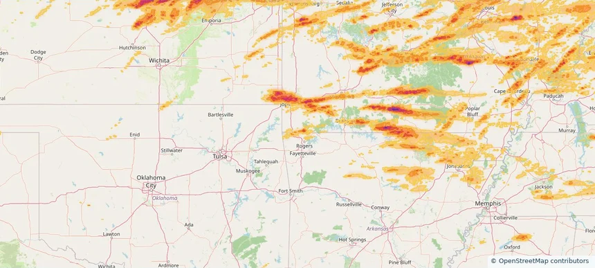
Belleville, IL — April 27, 2026 — regional hail footprint preview
Storm footprint preview

Local hail summary for the Belleville area: 6.97 square miles of estimated ground-hail footprint; highest mapped band 1+ inches. 1 official hail report(s) within the summary area. Exposure estimates are not confirmed property damage. Open the map to explore the full coverage included in your access. Statistics cover the mapped hail footprint inside the Census boundary of Belleville, IL, not the entire region. The place had 42,404 residents in the 2020 Census. A boundary intersection does not mean the whole community was hit. Estimated housing exposure: 1,218 units in 1-inch-or-larger bands, including 0 in 1.5-inch-or-larger bands and 0 in 2-inch-or-larger bands.

Affected states: Belleville area, IL
1+ inRadar size estimate 6,075Population Affected 2,345Houses Affected HailHazards FreeAccount signup
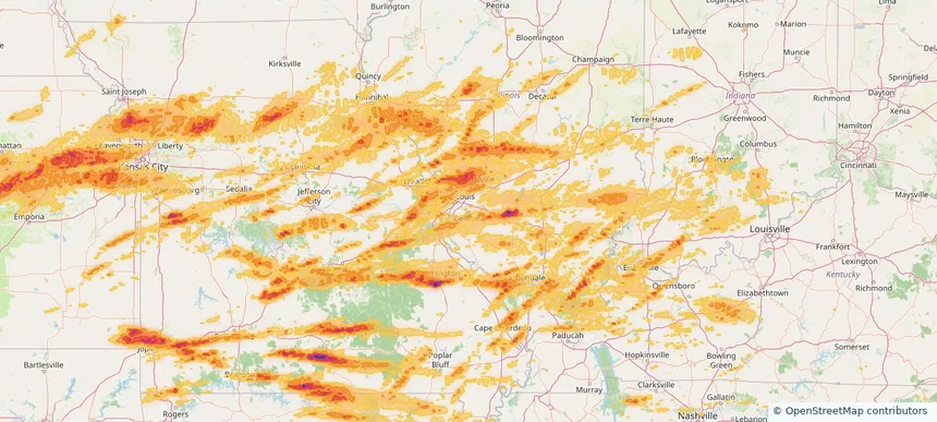
Belton, MO — April 27, 2026 — regional hail footprint preview
Storm footprint preview

Local hail summary for the Belton area: 9.29 square miles of estimated ground-hail footprint; highest mapped band 1+ inches. 0 official hail report(s) within the summary area. Exposure estimates are not confirmed property damage. Open the map to explore the full coverage included in your access. Statistics cover the mapped hail footprint inside the Census boundary of Belton, MO, not the entire region. The place had 23,953 residents in the 2020 Census. A boundary intersection does not mean the whole community was hit. Estimated housing exposure: 1,050 units in 1-inch-or-larger bands, including 0 in 1.5-inch-or-larger bands and 0 in 2-inch-or-larger bands.

Affected states: Belton area, MO
1+ inRadar size estimate 13,032Population Affected 5,307Houses Affected HailHazards FreeAccount signup
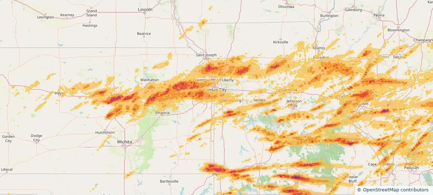
Bridgeton, MO — April 27, 2026 — regional hail footprint preview
Storm footprint preview

Local hail summary for the Bridgeton area: 9.72 square miles of estimated ground-hail footprint; highest mapped band 1+ inches. 0 official hail report(s) within the summary area. Exposure estimates are not confirmed property damage. Open the map to explore the full coverage included in your access. Statistics cover the mapped hail footprint inside the Census boundary of Bridgeton, MO, not the entire region. The place had 11,445 residents in the 2020 Census. A boundary intersection does not mean the whole community was hit. Estimated housing exposure: 4,754 units in 1-inch-or-larger bands, including 0 in 1.5-inch-or-larger bands and 0 in 2-inch-or-larger bands.

Affected states: Bridgeton area, MO
1+ inRadar size estimate 11,433Population Affected 5,082Houses Affected HailHazards FreeAccount signup
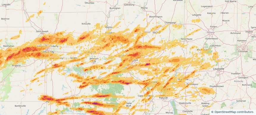
Cape Girardeau, MO — April 27, 2026 — regional hail footprint preview
Storm footprint preview

Local hail summary for the Cape Girardeau area: 2.75 square miles of estimated ground-hail footprint; highest mapped band 1+ inches. 1 official hail report(s) within the summary area. Exposure estimates are not confirmed property damage. Open the map to explore the full coverage included in your access. Statistics cover the mapped hail footprint inside the Census boundary of Cape Girardeau, MO, not the entire region. The place had 39,540 residents in the 2020 Census. A boundary intersection does not mean the whole community was hit. Estimated housing exposure: 528 units in 1-inch-or-larger bands, including 0 in 1.5-inch-or-larger bands and 0 in 2-inch-or-larger bands.

Affected states: Cape Girardeau area, MO
1+ inRadar size estimate 1,373Population Affected 775Houses Affected HailHazards FreeAccount signup
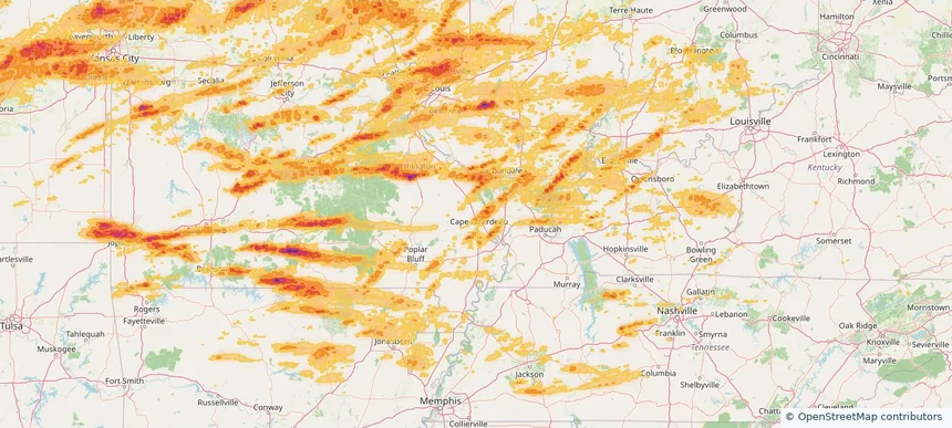
Carthage, MO — April 27, 2026 — regional hail footprint preview
Storm footprint preview

Local hail summary for the Carthage area: 5.60 square miles of estimated ground-hail footprint; highest mapped band 1.5+ inches. 0 official hail report(s) within the summary area. Exposure estimates are not confirmed property damage. Open the map to explore the full coverage included in your access. Statistics cover the mapped hail footprint inside the Census boundary of Carthage, MO, not the entire region. The place had 15,522 residents in the 2020 Census. A boundary intersection does not mean the whole community was hit. Estimated housing exposure: 802 units in 1-inch-or-larger bands, including 45 in 1.5-inch-or-larger bands and 0 in 2-inch-or-larger bands.

Affected states: Carthage area, MO
1.5+ inRadar size estimate 1,830Population Affected 881Houses Affected HailHazards FreeAccount signup
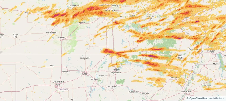
Centralia, IL — April 27, 2026 — regional hail footprint preview
Storm footprint preview

Local hail summary for the Centralia area: 6.49 square miles of estimated ground-hail footprint; highest mapped band 1+ inches. 0 official hail report(s) within the summary area. Exposure estimates are not confirmed property damage. Open the map to explore the full coverage included in your access. Statistics cover the mapped hail footprint inside the Census boundary of Centralia, IL, not the entire region. The place had 12,182 residents in the 2020 Census. A boundary intersection does not mean the whole community was hit. Estimated housing exposure: 2,344 units in 1-inch-or-larger bands, including 0 in 1.5-inch-or-larger bands and 0 in 2-inch-or-larger bands.

Affected states: Centralia area, IL
1+ inRadar size estimate 11,212Population Affected 5,475Houses Affected HailHazards FreeAccount signup
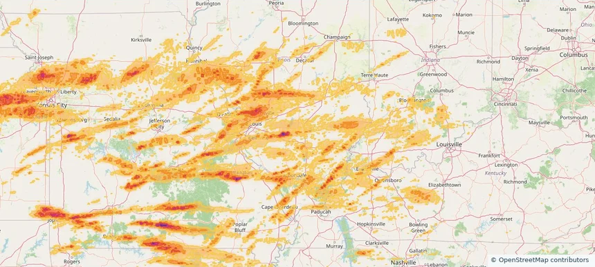
Chatham, IL — April 27, 2026 — regional hail footprint preview
Storm footprint preview

Local hail summary for the Chatham area: 6.58 square miles of estimated ground-hail footprint; highest mapped band 1+ inches. 0 official hail report(s) within the summary area. Exposure estimates are not confirmed property damage. Open the map to explore the full coverage included in your access. Statistics cover the mapped hail footprint inside the Census boundary of Chatham, IL, not the entire region. The place had 14,377 residents in the 2020 Census. A boundary intersection does not mean the whole community was hit. Estimated housing exposure: 4,041 units in 1-inch-or-larger bands, including 0 in 1.5-inch-or-larger bands and 0 in 2-inch-or-larger bands.

Affected states: Chatham area, IL
1+ inRadar size estimate 14,093Population Affected 5,742Houses Affected HailHazards FreeAccount signup
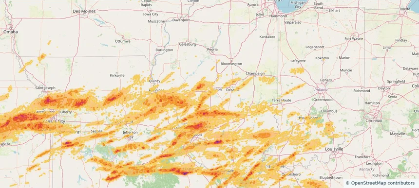
Chesterfield, MO — April 27, 2026 — regional hail footprint preview
Storm footprint preview

Local hail summary for the Chesterfield area: 23.59 square miles of estimated ground-hail footprint; highest mapped band 1.5+ inches. 0 official hail report(s) within the summary area. Exposure estimates are not confirmed property damage. Open the map to explore the full coverage included in your access. Statistics cover the mapped hail footprint inside the Census boundary of Chesterfield, MO, not the entire region. The place had 49,999 residents in the 2020 Census. A boundary intersection does not mean the whole community was hit. Estimated housing exposure: 7,402 units in 1-inch-or-larger bands, including 453 in 1.5-inch-or-larger bands and 0 in 2-inch-or-larger bands.

Affected states: Chesterfield area, MO
1.5+ inRadar size estimate 31,946Population Affected 14,082Houses Affected HailHazards FreeAccount signup
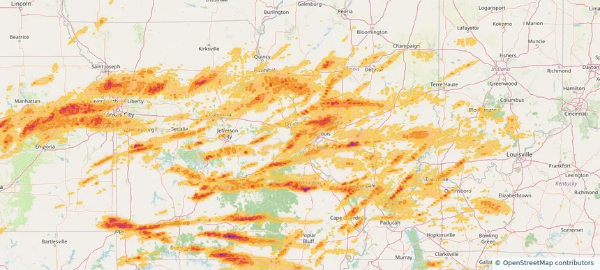
Concord, MO — April 27, 2026 — regional hail footprint preview
Storm footprint preview

Local hail summary for the Concord area: 3.68 square miles of estimated ground-hail footprint; highest mapped band 1+ inches. 0 official hail report(s) within the summary area. Exposure estimates are not confirmed property damage. Open the map to explore the full coverage included in your access. Statistics cover the mapped hail footprint inside the Census boundary of Concord, MO, not the entire region. The place had 17,668 residents in the 2020 Census. A boundary intersection does not mean the whole community was hit. Estimated housing exposure: 4,398 units in 1-inch-or-larger bands, including 0 in 1.5-inch-or-larger bands and 0 in 2-inch-or-larger bands.

Affected states: Concord area, MO
1+ inRadar size estimate 10,768Population Affected 4,534Houses Affected HailHazards FreeAccount signup
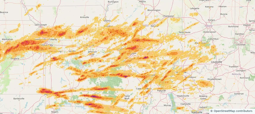
Dallas, TX — April 27, 2026 — regional hail footprint preview
Storm footprint preview

Local hail summary for the Dallas area: 56.49 square miles of estimated ground-hail footprint; highest mapped band 2+ inches. 0 official hail report(s) within the summary area. Exposure estimates are not confirmed property damage. Open the map to explore the full coverage included in your access. Statistics cover the mapped hail footprint inside the Census boundary of Dallas, TX, not the entire region. The place had 1,304,379 residents in the 2020 Census. A boundary intersection does not mean the whole community was hit. Estimated housing exposure: 56,354 units in 1-inch-or-larger bands, including 6,306 in 1.5-inch-or-larger bands and 0 in 2-inch-or-larger bands.

Affected states: Dallas area, TX
2+ inRadar size estimate 187,635Population Affected 87,003Houses Affected HailHazards FreeAccount signup
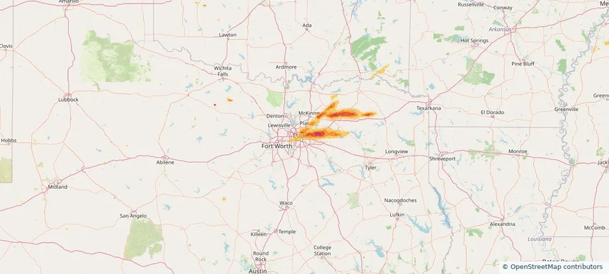
Dickson, TN — April 27, 2026 — regional hail footprint preview
Storm footprint preview

Local hail summary for the Dickson area: 4.54 square miles of estimated ground-hail footprint; highest mapped band 1+ inches. 0 official hail report(s) within the summary area. Exposure estimates are not confirmed property damage. Open the map to explore the full coverage included in your access. Statistics cover the mapped hail footprint inside the Census boundary of Dickson, TN, not the entire region. The place had 16,058 residents in the 2020 Census. A boundary intersection does not mean the whole community was hit. Estimated housing exposure: 385 units in 1-inch-or-larger bands, including 0 in 1.5-inch-or-larger bands and 0 in 2-inch-or-larger bands.

Affected states: Dickson area, TN
1+ inRadar size estimate 5,434Population Affected 2,265Houses Affected HailHazards FreeAccount signup
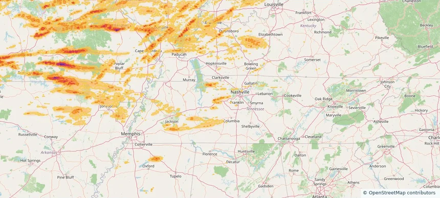
Edwardsville, IL — April 27, 2026 — regional hail footprint preview
Storm footprint preview

Local hail summary for the Edwardsville area: 10.81 square miles of estimated ground-hail footprint; highest mapped band 1+ inches. 0 official hail report(s) within the summary area. Exposure estimates are not confirmed property damage. Open the map to explore the full coverage included in your access. Statistics cover the mapped hail footprint inside the Census boundary of Edwardsville, IL, not the entire region. The place had 26,808 residents in the 2020 Census. A boundary intersection does not mean the whole community was hit. Estimated housing exposure: 744 units in 1-inch-or-larger bands, including 0 in 1.5-inch-or-larger bands and 0 in 2-inch-or-larger bands.

Affected states: Edwardsville area, IL
1+ inRadar size estimate 17,869Population Affected 7,084Houses Affected HailHazards FreeAccount signup
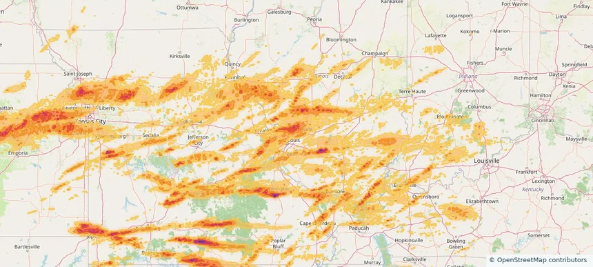
Evansville, IN — April 27, 2026 — regional hail footprint preview
Storm footprint preview

Local hail summary for the Evansville area: 21.59 square miles of estimated ground-hail footprint; highest mapped band 1+ inches. 0 official hail report(s) within the summary area. Exposure estimates are not confirmed property damage. Open the map to explore the full coverage included in your access. Statistics cover the mapped hail footprint inside the Census boundary of Evansville, IN, not the entire region. The place had 117,298 residents in the 2020 Census. A boundary intersection does not mean the whole community was hit. Estimated housing exposure: 4,262 units in 1-inch-or-larger bands, including 0 in 1.5-inch-or-larger bands and 0 in 2-inch-or-larger bands.

Affected states: Evansville area, IN
1+ inRadar size estimate 60,771Population Affected 30,317Houses Affected HailHazards FreeAccount signup
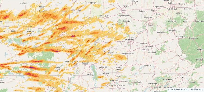
Excelsior Springs, MO — April 27, 2026 — regional hail footprint preview
Storm footprint preview

Local hail summary for the Excelsior Springs area: 4.49 square miles of estimated ground-hail footprint; highest mapped band 1+ inches. 0 official hail report(s) within the summary area. Exposure estimates are not confirmed property damage. Open the map to explore the full coverage included in your access. Statistics cover the mapped hail footprint inside the Census boundary of Excelsior Springs, MO, not the entire region. The place had 10,553 residents in the 2020 Census. A boundary intersection does not mean the whole community was hit. Estimated housing exposure: 200 units in 1-inch-or-larger bands, including 0 in 1.5-inch-or-larger bands and 0 in 2-inch-or-larger bands.

Affected states: Excelsior Springs area, MO
1+ inRadar size estimate 4,165Population Affected 1,840Houses Affected HailHazards FreeAccount signup
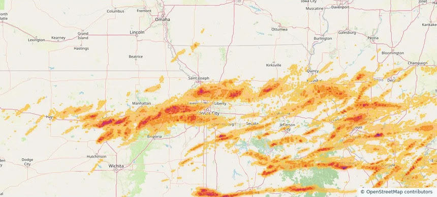
Farmington, MO — April 27, 2026 — regional hail footprint preview
Storm footprint preview

Local hail summary for the Farmington area: 9.55 square miles of estimated ground-hail footprint; highest mapped band 2+ inches. 1 official hail report(s) within the summary area. Exposure estimates are not confirmed property damage. Open the map to explore the full coverage included in your access. Statistics cover the mapped hail footprint inside the Census boundary of Farmington, MO, not the entire region. The place had 18,217 residents in the 2020 Census. A boundary intersection does not mean the whole community was hit. Estimated housing exposure: 2,071 units in 1-inch-or-larger bands, including 746 in 1.5-inch-or-larger bands and 1 in 2-inch-or-larger bands.

Affected states: Farmington area, MO
2+ inRadar size estimate 18,093Population Affected 6,958Houses Affected HailHazards FreeAccount signup
Page 48 of 100
‹ 1 47 48 49 100 ›

Frequently asked questions

Can I search hail maps by coverage area?

Yes. The storm library supports coverage-area filtering so you can find hail maps and hail swaths in a target service area.

What kinds of storms appear in the HailMapr library?

The library focuses on published hail events, including ready storm maps and live storms once hail has been detected and a public swath is available.

Are HailMapr storm pages useful for roofers and adjusters?

Yes. They are built to help roofers, adjusters, restoration teams, and property owners review storm footprints before purchase.