Storm library

Browse live and recent hail maps.

Review storm footprints, hail swaths, reports, and replay access. Create a free account to save your setup and move into map access when a storm matters.

Search filters
Clear
Newest storms first by default.
Don't see your storm? Request a qualifying storm map and we'll email you when it is ready.
Showing 1057-1080 of 2394 storms · Page 45 of 100
‹ 1 44 45 46 100 ›
Request a storm map

Tell us about the storm and we'll build the map. Once it's published you'll get an email and can purchase it from the library — just like any other event.

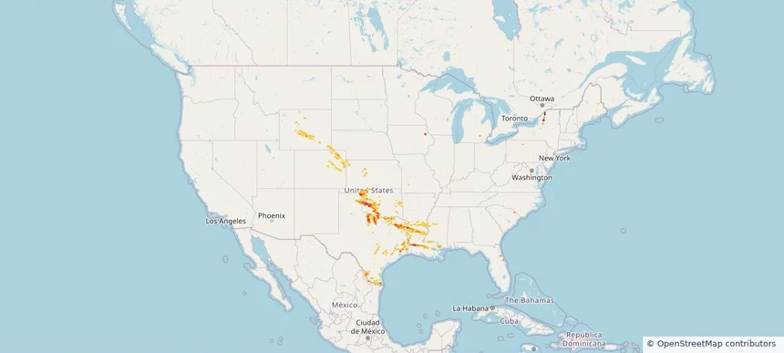
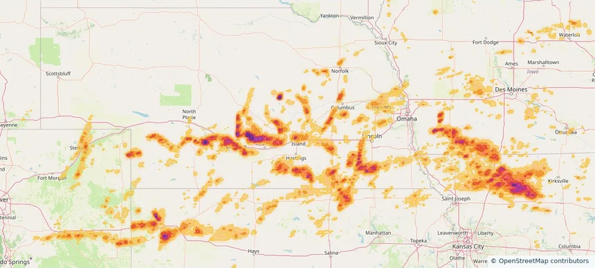
Grand Island, NE — May 16, 2026 — regional hail footprint preview
Storm footprint preview

Local hail summary for the Grand Island area: 20.52 square miles of estimated ground-hail footprint; highest mapped band 1.5+ inches. 1 official hail report(s) within the summary area. Exposure estimates are not confirmed property damage. Open the map to explore the full coverage included in your access. Statistics cover the mapped hail footprint inside the Census boundary of Grand Island, NE, not the entire region. The place had 53,131 residents in the 2020 Census. A boundary intersection does not mean the whole community was hit. Estimated housing exposure: 9,761 units in 1-inch-or-larger bands, including 1,320 in 1.5-inch-or-larger bands and 0 in 2-inch-or-larger bands.

Affected states: Grand Island area, NE
1.5+ inRadar size estimate 38,983Population Affected 15,331Houses Affected HailHazards FreeAccount signup
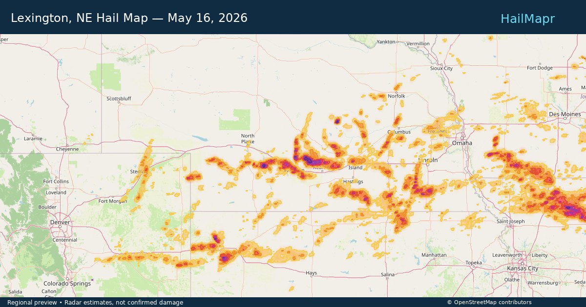
Lexington, NE — May 16, 2026 — regional hail footprint preview
Storm footprint preview

Local hail summary for the Lexington area: 4.50 square miles of estimated ground-hail footprint; highest mapped band 1.5+ inches. 0 official hail report(s) within the summary area. Exposure estimates are not confirmed property damage. Open the map to explore the full coverage included in your access. Statistics cover the mapped hail footprint inside the Census boundary of Lexington, NE, not the entire region. The place had 10,348 residents in the 2020 Census. A boundary intersection does not mean the whole community was hit. Estimated housing exposure: 3,470 units in 1-inch-or-larger bands, including 1,210 in 1.5-inch-or-larger bands and 0 in 2-inch-or-larger bands.

Affected states: Lexington area, NE
1.5+ inRadar size estimate 10,348Population Affected 3,470Houses Affected HailHazards FreeAccount signup
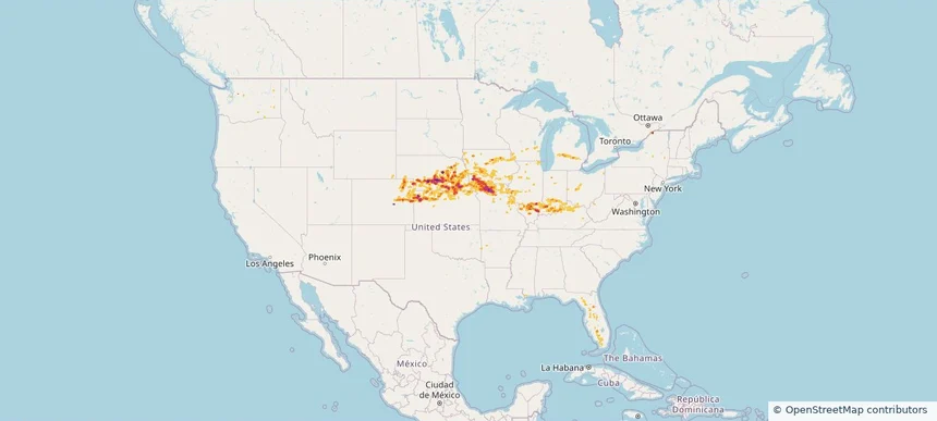
Nationwide Daily Hail, Wind & Tornado Map - May 16, 2026 — regional hail footprint preview
Storm footprint preview
May 15, 2026 10:00 PM to May 17, 2026 2:00 AM CST

Nationwide Daily Hail, Wind & Tornado Map - May 16, 2026

Hail as large as 3.00 inches was reported near 4 miles west of Amherst, NE. Wind up to 104 mph was reported near Concordia, KS. 10 tornadoes were reported, including one near 4 miles east-southeast of Benton, WI. The storm had 46 official hail reports.

Affected states: National, AR, CO, FL, IL, IN, IA, KS, KY, MI, MS, MO, NE, NY, OH, OK, WA, WI, WY
4.09 inRadar size estimate 881,870Population Affected 393,969Houses Affected Hail · Wind · TornadoHazards FreeAccount signup
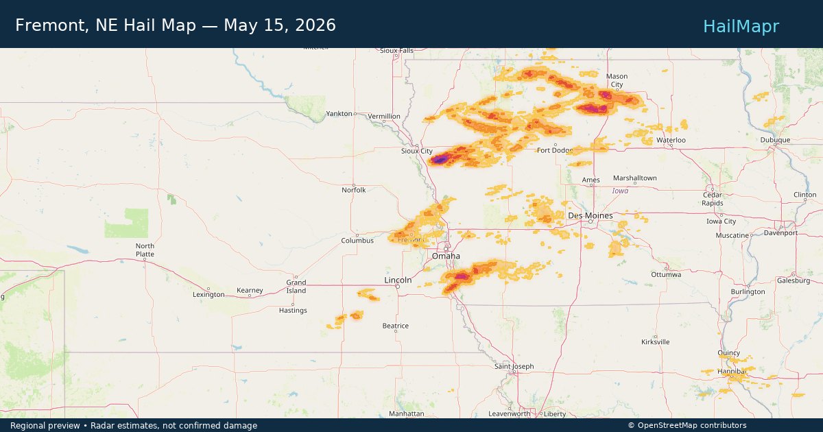
Fremont, NE — May 15, 2026 — regional hail footprint preview
Storm footprint preview

Local hail summary for the Fremont area: 6.24 square miles of estimated ground-hail footprint; highest mapped band 1+ inches. 0 official hail report(s) within the summary area. Exposure estimates are not confirmed property damage. Open the map to explore the full coverage included in your access. Statistics cover the mapped hail footprint inside the Census boundary of Fremont, NE, not the entire region. The place had 27,141 residents in the 2020 Census. A boundary intersection does not mean the whole community was hit. Estimated housing exposure: 240 units in 1-inch-or-larger bands, including 0 in 1.5-inch-or-larger bands and 0 in 2-inch-or-larger bands.

Affected states: Fremont area, NE
1+ inRadar size estimate 15,085Population Affected 6,669Houses Affected HailHazards FreeAccount signup
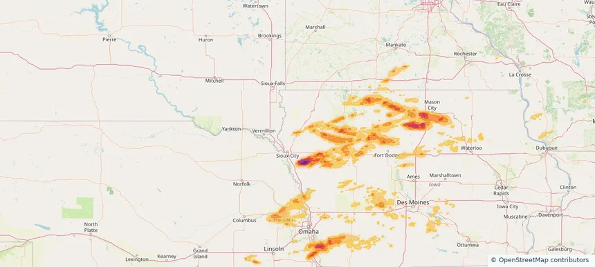
Le Mars, IA — May 15, 2026 — regional hail footprint preview
Storm footprint preview

Local hail summary for the Le Mars area: 0.59 square miles of estimated ground-hail footprint; highest mapped band 1+ inches. 0 official hail report(s) within the summary area. Exposure estimates are not confirmed property damage. Open the map to explore the full coverage included in your access. Statistics cover the mapped hail footprint inside the Census boundary of Le Mars, IA, not the entire region. The place had 10,571 residents in the 2020 Census. A boundary intersection does not mean the whole community was hit. Estimated housing exposure: 145 units in 1-inch-or-larger bands, including 0 in 1.5-inch-or-larger bands and 0 in 2-inch-or-larger bands.

Affected states: Le Mars area, IA
1+ inRadar size estimate 383Population Affected 145Houses Affected HailHazards FreeAccount signup
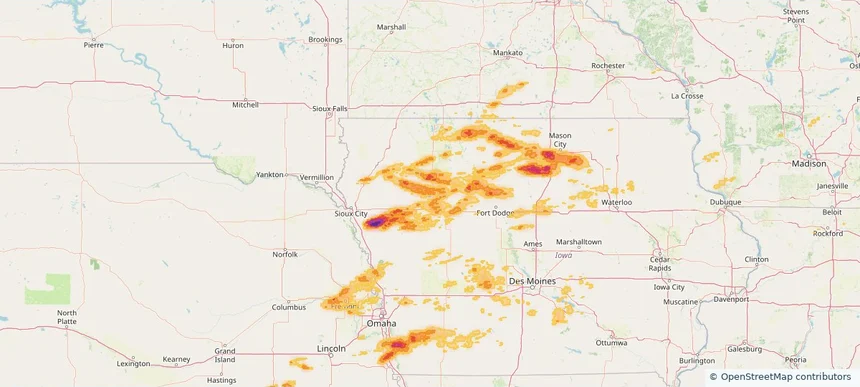
Storm Lake, IA — May 15, 2026 — regional hail footprint preview
Storm footprint preview

Local hail summary for the Storm Lake area: 3.60 square miles of estimated ground-hail footprint; highest mapped band 1+ inches. 0 official hail report(s) within the summary area. Exposure estimates are not confirmed property damage. Open the map to explore the full coverage included in your access. Statistics cover the mapped hail footprint inside the Census boundary of Storm Lake, IA, not the entire region. The place had 11,269 residents in the 2020 Census. A boundary intersection does not mean the whole community was hit. Estimated housing exposure: 2,263 units in 1-inch-or-larger bands, including 0 in 1.5-inch-or-larger bands and 0 in 2-inch-or-larger bands.

Affected states: Storm Lake area, IA
1+ inRadar size estimate 10,019Population Affected 3,333Houses Affected HailHazards FreeAccount signup
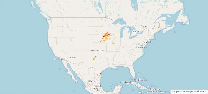
Nationwide Daily Hail, Wind & Tornado Map - May 15, 2026 — regional hail footprint preview
Storm footprint preview
May 14, 2026 10:00 PM to May 16, 2026 2:00 AM CST

Nationwide Daily Hail, Wind & Tornado Map - May 15, 2026

Hail as large as 2.50 inches was reported near Kanawha, IA. Wind up to 97 mph was reported near 1 mile west-southwest of Seagraves, TX. A tornado was reported near 4 miles east-southeast of Benton, WI. The storm had 26 official hail reports.

Affected states: National, FL, IL, IA, KS, MN, MS, MO, NE, NM, ND, OK, TX, WI
3.5 inRadar size estimate 199,410Population Affected 93,693Houses Affected Hail · Wind · TornadoHazards FreeAccount signup
Nationwide Daily Hail & Wind Map - May 14, 2026 — regional hail footprint preview
Storm footprint preview
May 13, 2026 10:00 PM to May 15, 2026 2:00 AM CST

Nationwide Daily Hail & Wind Map - May 14, 2026

Hail as large as 1.50 inches was reported near 1 mile north-northwest of Clay Center, KS. Wind up to 82 mph was reported near 2 miles northeast of Dimmitt, TX. The storm had 3 official hail reports.

Affected states: National, CO, IL, KS, MO, MT, NE, NM, NY, ND, OH, TX, WY
2.5 inRadar size estimate 9,668Population Affected 4,369Houses Affected Hail · WindHazards FreeAccount signup
Nationwide Daily Hail, Wind & Tornado Map - May 13, 2026 — regional hail footprint preview
Storm footprint preview
May 12, 2026 10:00 PM to May 14, 2026 2:00 AM CST

Nationwide Daily Hail, Wind & Tornado Map - May 13, 2026

Hail as large as 1.00 inches was reported near 1 mile west of Finleyville, PA. Wind up to 108 mph was reported near 1 mile south-southeast of Livingston, MT. 2 tornadoes were reported, including one near 3 miles east of Reedsville, WV. The storm had 6 official hail reports.

Affected states: National, CO, FL, ID, MD, MI, MT, NE, NM, NY, OH, OR, PA, UT, VA, WA, WV, WY
1.5 inRadar size estimate 24,227Population Affected 11,100Houses Affected Hail · Wind · TornadoHazards FreeAccount signup
Oviedo, FL — May 12, 2026 — regional hail footprint preview
Storm footprint preview

Local hail summary for the Oviedo area: 11.85 square miles of estimated ground-hail footprint; highest mapped band 2+ inches. 0 official hail report(s) within the summary area. Exposure estimates are not confirmed property damage. Open the map to explore the full coverage included in your access. Statistics cover the mapped hail footprint inside the Census boundary of Oviedo, FL, not the entire region. The place had 40,059 residents in the 2020 Census. A boundary intersection does not mean the whole community was hit. Estimated housing exposure: 9,911 units in 1-inch-or-larger bands, including 2,564 in 1.5-inch-or-larger bands and 260 in 2-inch-or-larger bands.

Affected states: Oviedo area, FL
2+ inRadar size estimate 30,230Population Affected 10,837Houses Affected HailHazards FreeAccount signup
University, FL — May 12, 2026 — regional hail footprint preview
Storm footprint preview

Local hail summary for the University area: 0.26 square miles of estimated ground-hail footprint; highest mapped band 1+ inches. 0 official hail report(s) within the summary area. Exposure estimates are not confirmed property damage. Open the map to explore the full coverage included in your access. Statistics cover the mapped hail footprint inside the Census boundary of University, FL, not the entire region. The place had 45,284 residents in the 2020 Census. A boundary intersection does not mean the whole community was hit. Estimated housing exposure: 146 units in 1-inch-or-larger bands, including 0 in 1.5-inch-or-larger bands and 0 in 2-inch-or-larger bands.

Affected states: University area, FL
1+ inRadar size estimate 411Population Affected 146Houses Affected HailHazards FreeAccount signup
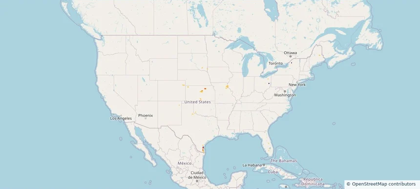
Winter Springs, FL — May 12, 2026 — regional hail footprint preview
Storm footprint preview

Local hail summary for the Winter Springs area: 4.83 square miles of estimated ground-hail footprint; highest mapped band 2+ inches. 0 official hail report(s) within the summary area. Exposure estimates are not confirmed property damage. Open the map to explore the full coverage included in your access. Statistics cover the mapped hail footprint inside the Census boundary of Winter Springs, FL, not the entire region. The place had 38,342 residents in the 2020 Census. A boundary intersection does not mean the whole community was hit. Estimated housing exposure: 3,159 units in 1-inch-or-larger bands, including 750 in 1.5-inch-or-larger bands and 449 in 2-inch-or-larger bands.

Affected states: Winter Springs area, FL
2+ inRadar size estimate 11,331Population Affected 4,731Houses Affected HailHazards FreeAccount signup
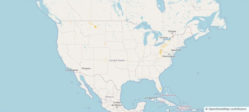
Nationwide Daily Hail, Wind & Tornado Map - May 12, 2026 — regional hail footprint preview
Storm footprint preview
May 11, 2026 10:00 PM to May 13, 2026 2:00 AM CST

Nationwide Daily Hail, Wind & Tornado Map - May 12, 2026

Hail as large as 1.00 inches was reported near 1 mile northwest of Oviedo, FL. Wind up to 68 mph was reported near 12 miles northwest of Atomic City, ID. A tornado was reported near 1 mile south-southwest of Hudson, FL. The storm had 2 official hail reports.

Affected states: National, AZ, FL, ID, MI, MN, OR, WA, WI
2.0 inRadar size estimate 214,635Population Affected 87,264Houses Affected Hail · Wind · TornadoHazards FreeAccount signup
Brenham, TX — May 11, 2026 — regional hail footprint preview
Storm footprint preview

Local hail summary for the Brenham area: 12.79 square miles of estimated ground-hail footprint; highest mapped band 2+ inches. 1 official hail report(s) within the summary area. Exposure estimates are not confirmed property damage. Open the map to explore the full coverage included in your access. Statistics cover the mapped hail footprint inside the Census boundary of Brenham, TX, not the entire region. The place had 17,369 residents in the 2020 Census. A boundary intersection does not mean the whole community was hit. Estimated housing exposure: 6,915 units in 1-inch-or-larger bands, including 1,595 in 1.5-inch-or-larger bands and 133 in 2-inch-or-larger bands.

Affected states: Brenham area, TX
2+ inRadar size estimate 17,233Population Affected 7,225Houses Affected HailHazards FreeAccount signup
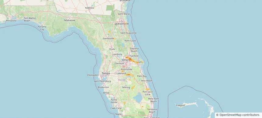
Nationwide Daily Hail, Wind & Tornado Map - May 11, 2026 — regional hail footprint preview
Storm footprint preview
May 10, 2026 10:00 PM to May 12, 2026 2:00 AM CST

Nationwide Daily Hail, Wind & Tornado Map - May 11, 2026

Hail as large as 1.75 inches was reported near Green Sea, SC. Wind up to 97 mph was reported near 1 mile east-southeast of Cc Nas, TX. A tornado was reported near 3 miles southwest of Lutcher, LA. The storm had 1 official hail report.

Affected states: National, FL, LA, MN, MS, NY, NC, SC, TX
2.5 inRadar size estimate 136,109Population Affected 57,650Houses Affected Hail · Wind · TornadoHazards FreeAccount signup
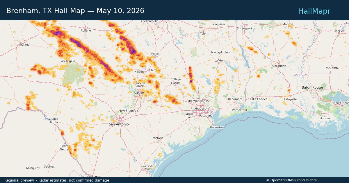
Brenham, TX — May 10, 2026 — regional hail footprint preview
Storm footprint preview

Local hail summary for the Brenham area: 12.79 square miles of estimated ground-hail footprint; highest mapped band 2+ inches. 1 official hail report(s) within the summary area. Exposure estimates are not confirmed property damage. Open the map to explore the full coverage included in your access. Statistics cover the mapped hail footprint inside the Census boundary of Brenham, TX, not the entire region. The place had 17,369 residents in the 2020 Census. A boundary intersection does not mean the whole community was hit. Estimated housing exposure: 6,915 units in 1-inch-or-larger bands, including 1,595 in 1.5-inch-or-larger bands and 133 in 2-inch-or-larger bands.

Affected states: Brenham area, TX
2+ inRadar size estimate 17,233Population Affected 7,225Houses Affected HailHazards FreeAccount signup
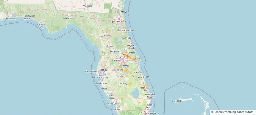
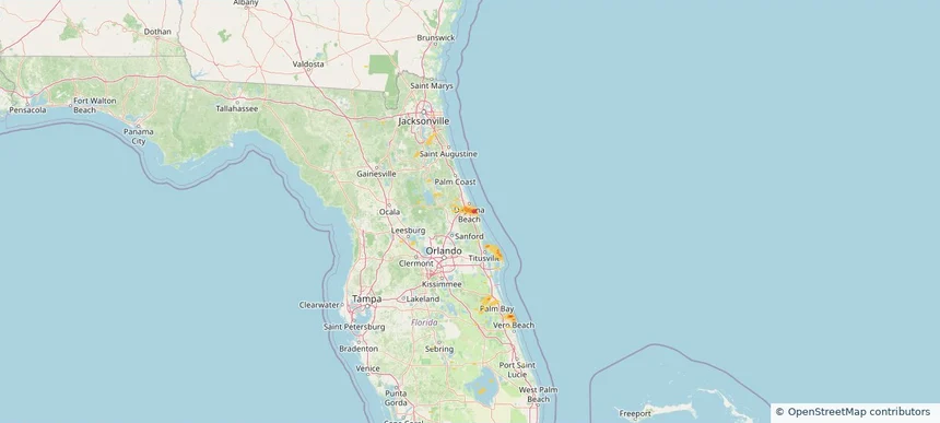
Port Orange, FL — May 10, 2026 — regional hail footprint preview
Storm footprint preview

Local hail summary for the Port Orange area: 7.68 square miles of estimated ground-hail footprint; highest mapped band 1.5+ inches. 0 official hail report(s) within the summary area. Exposure estimates are not confirmed property damage. Open the map to explore the full coverage included in your access. Statistics cover the mapped hail footprint inside the Census boundary of Port Orange, FL, not the entire region. The place had 62,596 residents in the 2020 Census. A boundary intersection does not mean the whole community was hit. Estimated housing exposure: 6,760 units in 1-inch-or-larger bands, including 1,859 in 1.5-inch-or-larger bands and 0 in 2-inch-or-larger bands.

Affected states: Port Orange area, FL
1.5+ inRadar size estimate 20,712Population Affected 10,494Houses Affected HailHazards FreeAccount signup
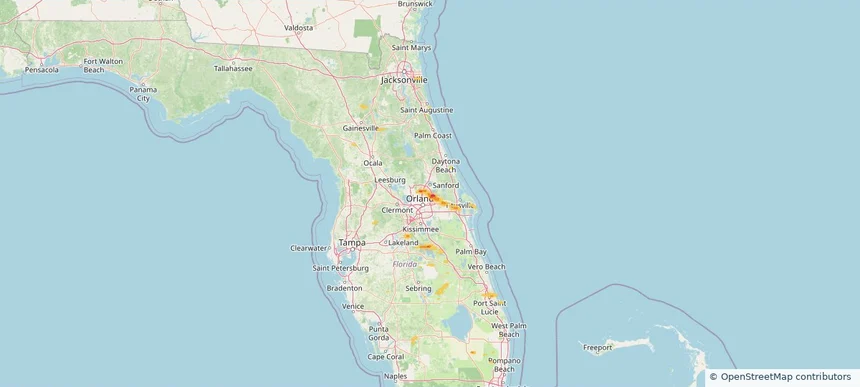
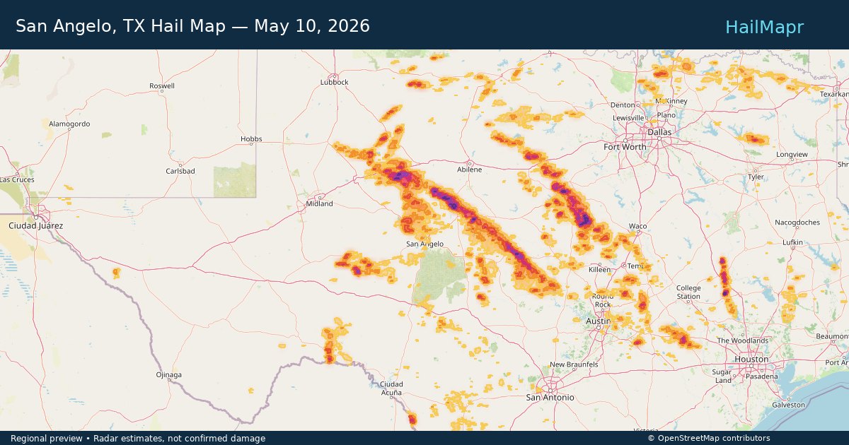
San Angelo, TX — May 10, 2026 — regional hail footprint preview
Storm footprint preview

Local hail summary for the San Angelo area: 5.96 square miles of estimated ground-hail footprint; highest mapped band 1+ inches. 1 official hail report(s) within the summary area. Exposure estimates are not confirmed property damage. Open the map to explore the full coverage included in your access. Statistics cover the mapped hail footprint inside the Census boundary of San Angelo, TX, not the entire region. The place had 99,893 residents in the 2020 Census. A boundary intersection does not mean the whole community was hit. Estimated housing exposure: 2,902 units in 1-inch-or-larger bands, including 0 in 1.5-inch-or-larger bands and 0 in 2-inch-or-larger bands.

Affected states: San Angelo area, TX
1+ inRadar size estimate 16,255Population Affected 6,748Houses Affected HailHazards FreeAccount signup
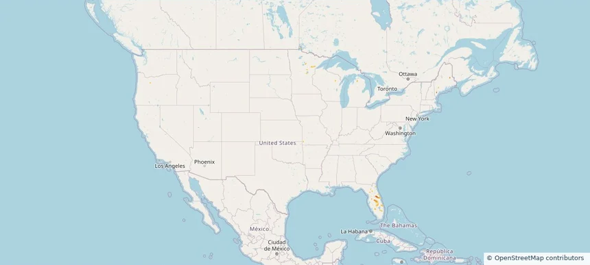
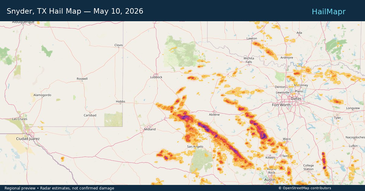
Snyder, TX — May 10, 2026 — regional hail footprint preview
Storm footprint preview

Local hail summary for the Snyder area: 8.22 square miles of estimated ground-hail footprint; highest mapped band 1+ inches. 1 official hail report(s) within the summary area. Exposure estimates are not confirmed property damage. Open the map to explore the full coverage included in your access. Statistics cover the mapped hail footprint inside the Census boundary of Snyder, TX, not the entire region. The place had 11,438 residents in the 2020 Census. A boundary intersection does not mean the whole community was hit. Estimated housing exposure: 3,385 units in 1-inch-or-larger bands, including 0 in 1.5-inch-or-larger bands and 0 in 2-inch-or-larger bands.

Affected states: Snyder area, TX
1+ inRadar size estimate 11,269Population Affected 4,654Houses Affected HailHazards FreeAccount signup
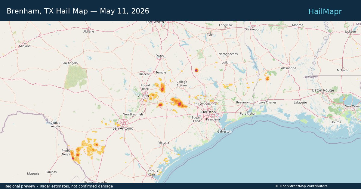
Nationwide Daily Hail, Wind & Tornado Map - May 10, 2026 — regional hail footprint preview
Storm footprint preview
May 9, 2026 10:00 PM to May 11, 2026 2:00 AM CST

Nationwide Daily Hail, Wind & Tornado Map - May 10, 2026

Hail as large as 4.50 inches was reported near 9 miles west-southwest of Cranfills Gap, TX. Wind up to 97 mph was reported near 1 mile east-southeast of Cc Nas, TX. 2 tornadoes were reported, including one near 14 miles south-southeast of Colorado City, TX. The storm had 26 official hail reports.

Affected states: National, AR, CO, FL, LA, ME, MS, NM, NY, OK, TX
3.5 inRadar size estimate 651,662Population Affected 290,897Houses Affected Hail · Wind · TornadoHazards FreeAccount signup
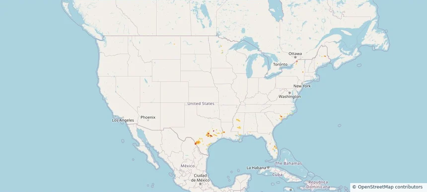
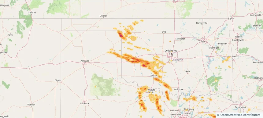
Elk City, OK — May 09, 2026 — regional hail footprint preview
Storm footprint preview

Local hail summary for the Elk City area: 14.79 square miles of estimated ground-hail footprint; highest mapped band 2+ inches. 1 official hail report(s) within the summary area. Exposure estimates are not confirmed property damage. Open the map to explore the full coverage included in your access. Statistics cover the mapped hail footprint inside the Census boundary of Elk City, OK, not the entire region. The place had 11,561 residents in the 2020 Census. A boundary intersection does not mean the whole community was hit. Estimated housing exposure: 5,011 units in 1-inch-or-larger bands, including 254 in 1.5-inch-or-larger bands and 25 in 2-inch-or-larger bands.

Affected states: Elk City area, OK
2+ inRadar size estimate 11,446Population Affected 5,821Houses Affected HailHazards FreeAccount signup
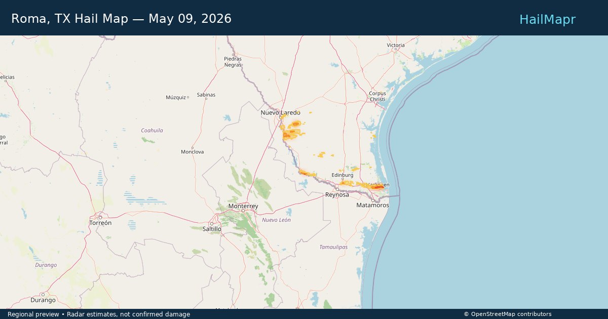
Roma, TX — May 09, 2026 — regional hail footprint preview
Storm footprint preview

Local hail summary for the Roma area: 4.28 square miles of estimated ground-hail footprint; highest mapped band 1.5+ inches. 0 official hail report(s) within the summary area. Exposure estimates are not confirmed property damage. Open the map to explore the full coverage included in your access. Statistics cover the mapped hail footprint inside the Census boundary of Roma, TX, not the entire region. The place had 11,561 residents in the 2020 Census. A boundary intersection does not mean the whole community was hit. Estimated housing exposure: 3,927 units in 1-inch-or-larger bands, including 833 in 1.5-inch-or-larger bands and 0 in 2-inch-or-larger bands.

Affected states: Roma area, TX
1.5+ inRadar size estimate 11,422Population Affected 4,208Houses Affected HailHazards FreeAccount signup
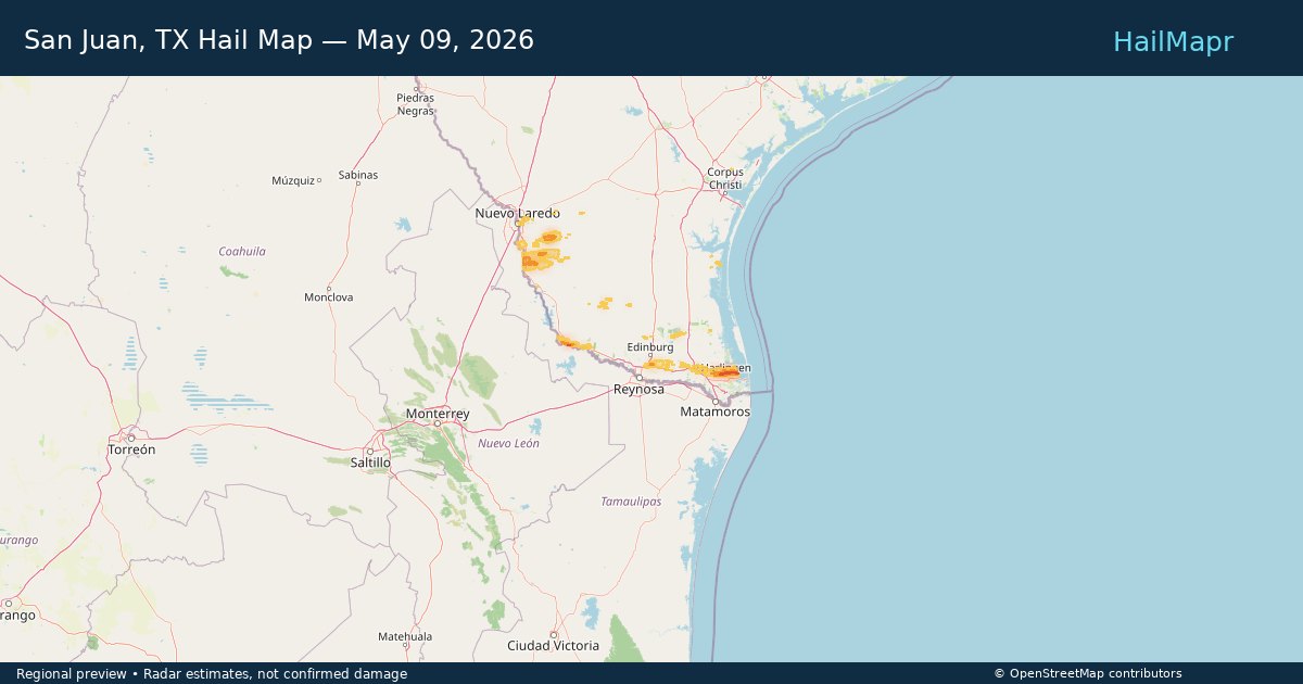
San Juan, TX — May 09, 2026 — regional hail footprint preview
Storm footprint preview

Local hail summary for the San Juan area: 2.89 square miles of estimated ground-hail footprint; highest mapped band 1+ inches. 0 official hail report(s) within the summary area. Exposure estimates are not confirmed property damage. Open the map to explore the full coverage included in your access. Statistics cover the mapped hail footprint inside the Census boundary of San Juan, TX, not the entire region. The place had 35,294 residents in the 2020 Census. A boundary intersection does not mean the whole community was hit. Estimated housing exposure: 817 units in 1-inch-or-larger bands, including 0 in 1.5-inch-or-larger bands and 0 in 2-inch-or-larger bands.

Affected states: San Juan area, TX
1+ inRadar size estimate 12,236Population Affected 3,612Houses Affected HailHazards FreeAccount signup
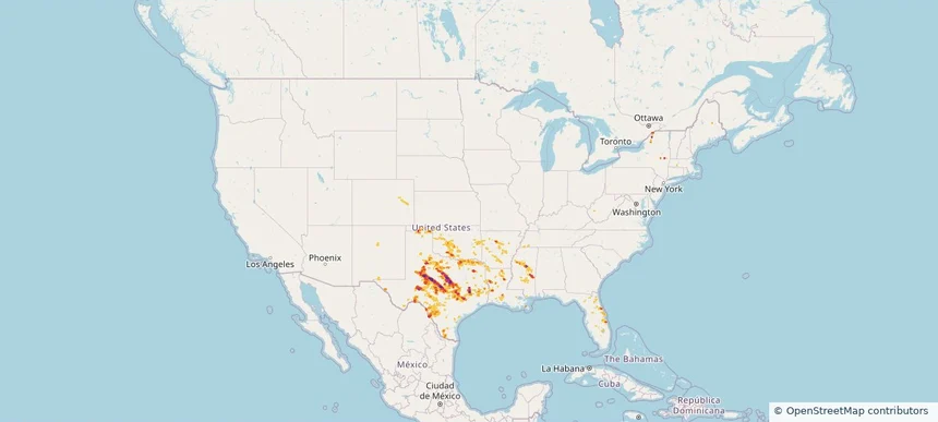
Nationwide Daily Hail, Wind & Tornado Map - May 9, 2026 — regional hail footprint preview
Storm footprint preview
May 8, 2026 10:00 PM to May 10, 2026 2:00 AM CST

Nationwide Daily Hail, Wind & Tornado Map - May 9, 2026

Hail as large as 2.75 inches was reported near Sayre, OK. Wind up to 94 mph was reported near 5 miles north of Rancho Viejo, TX. 4 tornadoes were reported, including one near Delco, NC. The storm had 21 official hail reports.

Affected states: National, AR, CO, FL, IA, KS, LA, MI, MS, NE, NY, NC, OH, OK, PA, TX, WY
2.5 inRadar size estimate 767,907Population Affected 305,562Houses Affected Hail · Wind · TornadoHazards FreeAccount signup
Page 45 of 100
‹ 1 44 45 46 100 ›

Frequently asked questions

Can I search hail maps by coverage area?

Yes. The storm library supports coverage-area filtering so you can find hail maps and hail swaths in a target service area.

What kinds of storms appear in the HailMapr library?

The library focuses on published hail events, including ready storm maps and live storms once hail has been detected and a public swath is available.

Are HailMapr storm pages useful for roofers and adjusters?

Yes. They are built to help roofers, adjusters, restoration teams, and property owners review storm footprints before purchase.