Storm library

Browse live and recent hail maps.

Review storm footprints, hail swaths, reports, and replay access. Create a free account to save your setup and move into map access when a storm matters.

Search filters
Clear
Newest storms first by default.
Don't see your storm? Request a qualifying storm map and we'll email you when it is ready.
Showing 1-24 of 79 storms · Page 1 of 4
‹ 1 2 4 ›
Request a storm map

Tell us about the storm and we'll build the map. Once it's published you'll get an email and can purchase it from the library — just like any other event.

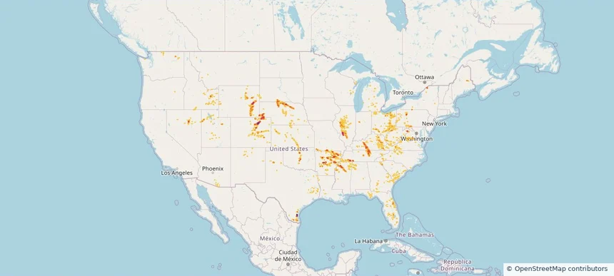
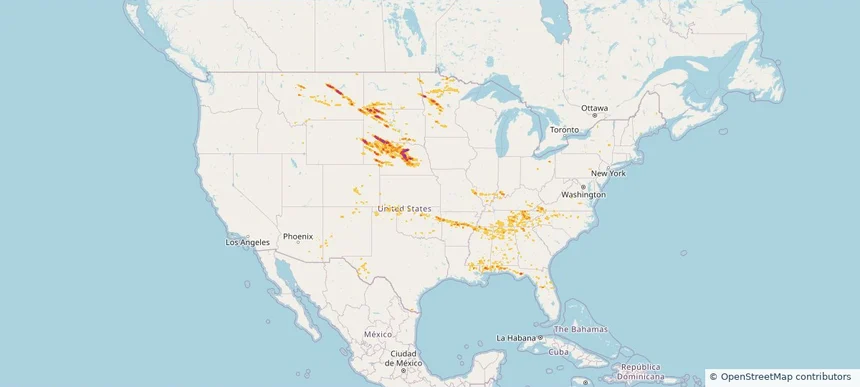
Nationwide Daily Hail, Wind & Tornado Map - October 14, 2026 — regional hail footprint preview
Storm footprint preview
Oct 13, 2026 10:00 PM to Oct 15, 2026 2:00 AM CST

Nationwide Daily Hail, Wind & Tornado Map - October 14, 2026

Hail as large as 1.75 inches was reported near 4 miles southwest of Crowell, TX. Wind up to 86 mph was reported near Stanton, TX. 3 tornadoes were reported, including one near 1 mile south-southeast of Fort Stockton, TX. The storm had 1 hail report.

Affected states: National, IL, IN, KS, MO, NY, OH, OK, PA, TX, WV
3.0 inRadar size estimate 125,024Population Affected 58,088Houses Affected Hail · Wind · TornadoHazards FreeAccount signup
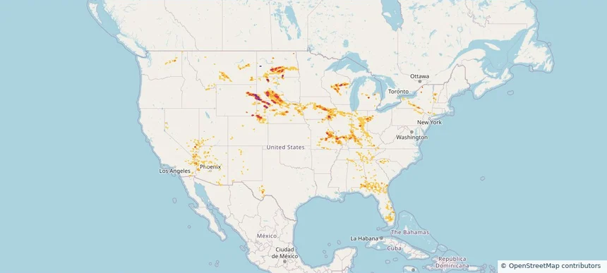
Nationwide Daily Hail & Wind Map - September 13, 2026 — regional hail footprint preview
Storm footprint preview
Sep 12, 2026 10:00 PM to Sep 14, 2026 1:50 AM CST

Nationwide Daily Hail & Wind Map - September 13, 2026

Hail as large as 1.50 inches was reported near 5 miles southwest of Dunlap, KS. Wind up to 97 mph was reported near Chanute Martin Johnson, KS. The storm had 5 official hail reports.

Affected states: National, AL, AZ, AR, CO, IA, KS, LA, MS, MT, NE, NM, NY, OH, OK, PA, SD, TN, TX, UT, WV, WY
1.99 inRadar size estimate 49,292Population Affected 23,194Houses Affected Hail · WindHazards FreeAccount signup
Nationwide Daily Hail, Wind & Tornado Map - September 12, 2026 — regional hail footprint preview
Storm footprint preview
Sep 11, 2026 10:00 PM to Sep 13, 2026 1:58 AM CST

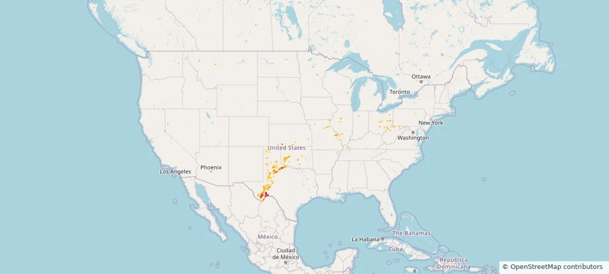
Nationwide Daily Hail, Wind & Tornado Map - September 12, 2026

Hail as large as 2.50 inches was reported near San Antonio 8.6 Sw, TX. Wind up to 97 mph was reported near Chanute Martin Johnson, KS. 2 tornadoes were reported, including one near 1 mile east-southeast of Spring Grove, VA. The storm had 17 official hail reports.

Affected states: National, AL, AZ, AR, FL, GA, IN, IA, KS, KY, LA, MS, MO, NE, NM, NY, OK, PA, TN, TX, UT, VA, WI
3.0 inRadar size estimate 418,798Population Affected 177,078Houses Affected Hail · Wind · TornadoHazards FreeAccount signup
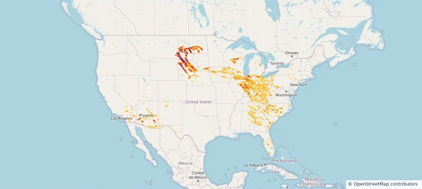
Nationwide Daily Hail & Wind Map - September 4, 2026 — regional hail footprint preview
Storm footprint preview
Sep 3, 2026 10:00 PM to Sep 5, 2026 1:45 AM CST

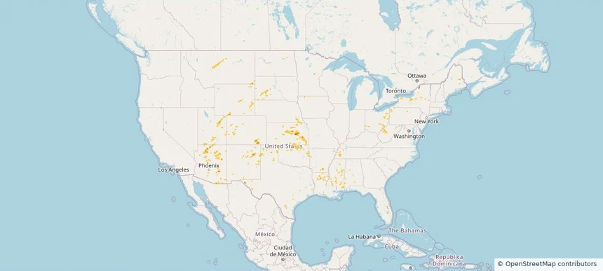
Nationwide Daily Hail & Wind Map - September 4, 2026

Hail as large as 1.75 inches was reported near Mayville, WI. Wind up to 93 mph was reported near 3 miles northeast of Aspermont, TX. The storm had 8 official hail reports.

Affected states: National, AL, DE, DC, FL, IL, IN, IA, KS, KY, LA, MD, MI, MN, MS, MO, NE, NJ, NM, NC, ND, OH, OK, PA, SD, TN, TX, VA, WV, WI
3.0 inRadar size estimate 1,774,923Population Affected 829,784Houses Affected Hail · WindHazards FreeAccount signup
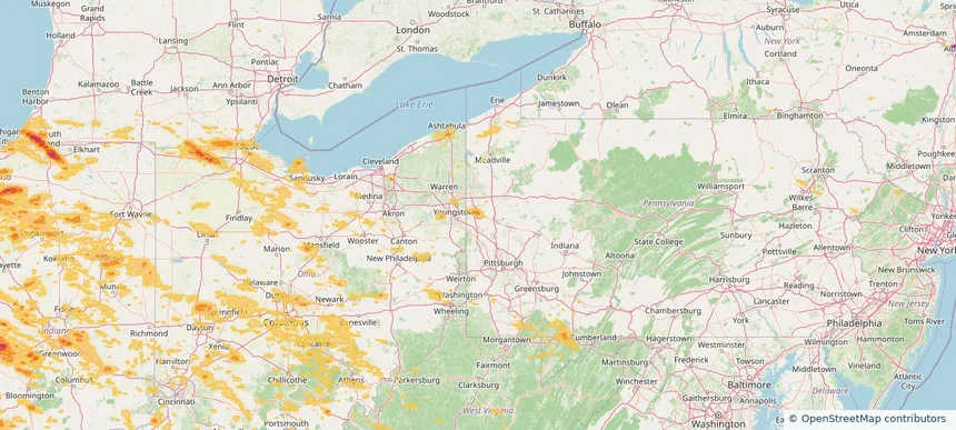
Baldwin, PA — September 03, 2026 — regional hail footprint preview
Storm footprint preview

Local hail summary for the Baldwin area: 5.88 square miles of estimated ground-hail footprint; highest mapped band 1.5+ inches. 0 official hail report(s) within the summary area. Exposure estimates are not confirmed property damage. Open the map to explore the full coverage included in your access. Statistics cover the mapped hail footprint inside the Census boundary of Baldwin, PA, not the entire region. The place had 21,510 residents in the 2020 Census. A boundary intersection does not mean the whole community was hit. Estimated housing exposure: 9,569 units in 1-inch-or-larger bands, including 2,765 in 1.5-inch-or-larger bands and 0 in 2-inch-or-larger bands.

Affected states: Baldwin area, PA
1.5+ inRadar size estimate 21,715Population Affected 9,569Houses Affected HailHazards FreeAccount signup
Bethel Park, PA — September 03, 2026 — regional hail footprint preview
Storm footprint preview

Local hail summary for the Bethel Park area: 11.48 square miles of estimated ground-hail footprint; highest mapped band 1.5+ inches. 0 official hail report(s) within the summary area. Exposure estimates are not confirmed property damage. Open the map to explore the full coverage included in your access. Statistics cover the mapped hail footprint inside the Census boundary of Bethel Park, PA, not the entire region. The place had 33,577 residents in the 2020 Census. A boundary intersection does not mean the whole community was hit. Estimated housing exposure: 14,531 units in 1-inch-or-larger bands, including 8,462 in 1.5-inch-or-larger bands and 0 in 2-inch-or-larger bands.

Affected states: Bethel Park area, PA
1.5+ inRadar size estimate 32,822Population Affected 14,743Houses Affected HailHazards FreeAccount signup
Brentwood, PA — September 03, 2026 — regional hail footprint preview
Storm footprint preview

Local hail summary for the Brentwood area: 1.45 square miles of estimated ground-hail footprint; highest mapped band 1.5+ inches. 0 official hail report(s) within the summary area. Exposure estimates are not confirmed property damage. Open the map to explore the full coverage included in your access. Statistics cover the mapped hail footprint inside the Census boundary of Brentwood, PA, not the entire region. The place had 10,082 residents in the 2020 Census. A boundary intersection does not mean the whole community was hit. Estimated housing exposure: 4,863 units in 1-inch-or-larger bands, including 3,673 in 1.5-inch-or-larger bands and 0 in 2-inch-or-larger bands.

Affected states: Brentwood area, PA
1.5+ inRadar size estimate 10,082Population Affected 4,863Houses Affected HailHazards FreeAccount signup
Monroeville, PA — September 03, 2026 — regional hail footprint preview
Storm footprint preview

Local hail summary for the Monroeville area: 4.80 square miles of estimated ground-hail footprint; highest mapped band 1+ inches. 0 official hail report(s) within the summary area. Exposure estimates are not confirmed property damage. Open the map to explore the full coverage included in your access. Statistics cover the mapped hail footprint inside the Census boundary of Monroeville, PA, not the entire region. The place had 28,640 residents in the 2020 Census. A boundary intersection does not mean the whole community was hit. Estimated housing exposure: 1,429 units in 1-inch-or-larger bands, including 0 in 1.5-inch-or-larger bands and 0 in 2-inch-or-larger bands.

Affected states: Monroeville area, PA
1+ inRadar size estimate 6,396Population Affected 3,202Houses Affected HailHazards FreeAccount signup
Munhall, PA — September 03, 2026 — regional hail footprint preview
Storm footprint preview

Local hail summary for the Munhall area: 2.36 square miles of estimated ground-hail footprint; highest mapped band 1+ inches. 0 official hail report(s) within the summary area. Exposure estimates are not confirmed property damage. Open the map to explore the full coverage included in your access. Statistics cover the mapped hail footprint inside the Census boundary of Munhall, PA, not the entire region. The place had 10,774 residents in the 2020 Census. A boundary intersection does not mean the whole community was hit. Estimated housing exposure: 5,890 units in 1-inch-or-larger bands, including 0 in 1.5-inch-or-larger bands and 0 in 2-inch-or-larger bands.

Affected states: Munhall area, PA
1+ inRadar size estimate 10,916Population Affected 5,890Houses Affected HailHazards FreeAccount signup
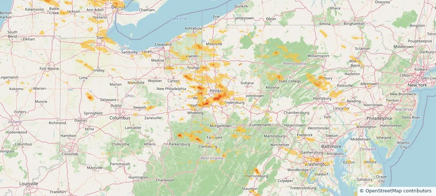
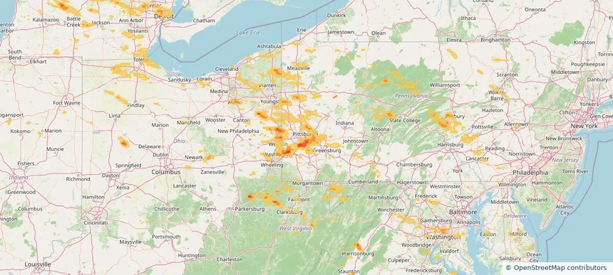
Pittsburgh, PA — September 03, 2026 — regional hail footprint preview
Storm footprint preview

Local hail summary for the Pittsburgh area: 15.99 square miles of estimated ground-hail footprint; highest mapped band 1.5+ inches. 0 official hail report(s) within the summary area. Exposure estimates are not confirmed property damage. Open the map to explore the full coverage included in your access. Statistics cover the mapped hail footprint inside the Census boundary of Pittsburgh, PA, not the entire region. The place had 302,971 residents in the 2020 Census. A boundary intersection does not mean the whole community was hit. Estimated housing exposure: 24,493 units in 1-inch-or-larger bands, including 4,220 in 1.5-inch-or-larger bands and 0 in 2-inch-or-larger bands.

Affected states: Pittsburgh area, PA
1.5+ inRadar size estimate 64,899Population Affected 34,176Houses Affected HailHazards FreeAccount signup
West Mifflin, PA — September 03, 2026 — regional hail footprint preview
Storm footprint preview

Local hail summary for the West Mifflin area: 11.53 square miles of estimated ground-hail footprint; highest mapped band 1.5+ inches. 1 official hail report(s) within the summary area. Exposure estimates are not confirmed property damage. Open the map to explore the full coverage included in your access. Statistics cover the mapped hail footprint inside the Census boundary of West Mifflin, PA, not the entire region. The place had 19,589 residents in the 2020 Census. A boundary intersection does not mean the whole community was hit. Estimated housing exposure: 5,861 units in 1-inch-or-larger bands, including 109 in 1.5-inch-or-larger bands and 0 in 2-inch-or-larger bands.

Affected states: West Mifflin area, PA
1.5+ inRadar size estimate 17,609Population Affected 8,479Houses Affected HailHazards FreeAccount signup
Whitehall, PA — September 03, 2026 — regional hail footprint preview
Storm footprint preview

Local hail summary for the Whitehall area: 3.33 square miles of estimated ground-hail footprint; highest mapped band 1.5+ inches. 0 official hail report(s) within the summary area. Exposure estimates are not confirmed property damage. Open the map to explore the full coverage included in your access. Statistics cover the mapped hail footprint inside the Census boundary of Whitehall, PA, not the entire region. The place had 15,064 residents in the 2020 Census. A boundary intersection does not mean the whole community was hit. Estimated housing exposure: 6,799 units in 1-inch-or-larger bands, including 1,752 in 1.5-inch-or-larger bands and 0 in 2-inch-or-larger bands.

Affected states: Whitehall area, PA
1.5+ inRadar size estimate 14,807Population Affected 6,799Houses Affected HailHazards FreeAccount signup
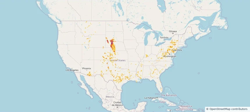
Nationwide Daily Hail, Wind & Tornado Map - September 3, 2026 — regional hail footprint preview
Storm footprint preview
Sep 2, 2026 10:00 PM to Sep 4, 2026 1:45 AM CST

Nationwide Daily Hail, Wind & Tornado Map - September 3, 2026

Hail as large as 2.30 inches was reported near 3 miles west-northwest of Elbow Lake, MN. Wind up to 86 mph was reported near 1 mile southwest of Braddock, PA. 2 tornadoes were reported, including one near Lincoln Park, MI. The storm had 20 official hail reports.

Affected states: National, AL, AR, CO, DE, DC, FL, IL, IN, IA, LA, MD, MI, MN, MS, MT, NE, NJ, NY, NC, ND, OH, PA, SD, TX, VA, WV, WI
3.0 inRadar size estimate 3,351,519Population Affected 1,557,630Houses Affected Hail · Wind · TornadoHazards FreeAccount signup
Nationwide Daily Hail, Wind & Tornado Map - September 2, 2026 — regional hail footprint preview
Storm footprint preview
Sep 1, 2026 10:00 PM to Sep 3, 2026 1:45 AM CST

Nationwide Daily Hail, Wind & Tornado Map - September 2, 2026

Hail as large as 4.00 inches was reported near 1 mile west of Easton, MN. Wind up to 100 mph was reported near 4 miles north of Britt, IA. 10 tornadoes were reported, including one near Olcott, NY. The storm had 14 official hail reports.

Affected states: National, AZ, CO, FL, ID, IA, MD, MI, MN, MS, MT, NE, NY, NC, ND, OH, PA, SD, TX, UT, VA, WV, WI
3.0 inRadar size estimate 1,614,919Population Affected 717,403Houses Affected Hail · Wind · TornadoHazards FreeAccount signup
Nationwide Daily Hail, Wind & Tornado Map - September 1, 2026 — regional hail footprint preview
Storm footprint preview
Aug 31, 2026 10:00 PM to Sep 2, 2026 1:45 AM CST

Nationwide Daily Hail, Wind & Tornado Map - September 1, 2026

Hail as large as 4.00 inches was reported near 1 mile west of Easton, MN. Wind up to 130 mph was reported near 4 miles north-northwest of Fordyce, NE. 3 tornadoes were reported, including one near 4 miles west-northwest of Gaines, PA. The storm had 21 official hail reports.

Affected states: National, AZ, CA, CO, DE, FL, ID, IA, KS, MD, MI, MN, NE, NV, NJ, NY, PA, SD, TX, UT, WI, WY
4.49 inRadar size estimate 821,826Population Affected 333,181Houses Affected Hail · Wind · TornadoHazards FreeAccount signup
Nationwide Daily Hail & Wind Map - August 31, 2026 — regional hail footprint preview
Storm footprint preview
Aug 30, 2026 10:00 PM to Sep 1, 2026 1:45 AM CST

Nationwide Daily Hail & Wind Map - August 31, 2026

Hail as large as 1.00 inches was reported near 2 miles south-southwest of Caliente, NV. Wind up to 89 mph was reported near 7 miles southeast of Lamar, CO. The storm had 6 official hail reports.

Affected states: National, AZ, CO, FL, IN, KS, MD, MI, MN, NE, NV, NM, NY, ND, OH, PA, TX, UT, WY
3.0 inRadar size estimate 110,238Population Affected 43,609Houses Affected Hail · WindHazards FreeAccount signup
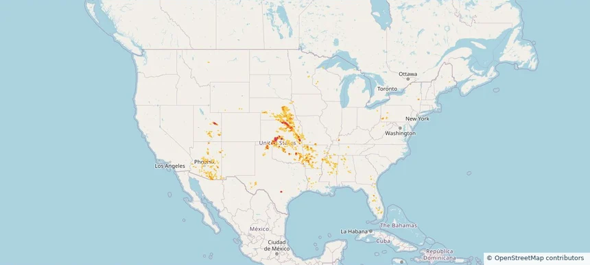
Nationwide Daily Hail, Wind & Tornado Map - August 27, 2026 — regional hail footprint preview
Storm footprint preview
Aug 26, 2026 10:00 PM to Aug 28, 2026 1:45 AM CST

Nationwide Daily Hail, Wind & Tornado Map - August 27, 2026

Hail as large as 2.50 inches was reported near 21 miles west-southwest of Merritt Reservoi, NE. Wind up to 112 mph was reported near 3 miles north of Luling, TX. 3 tornadoes were reported, including one near 3 miles northeast of Rosita, CO. The storm had 24 official hail reports.

Affected states: National, AZ, AR, CO, CT, DE, FL, GA, ID, IN, KS, LA, MD, MS, MT, NE, NH, NJ, NM, NY, NC, OH, OK, PA, SC, SD, TN, TX, UT, VT, VA, WV, WY
3.5 inRadar size estimate 922,441Population Affected 389,548Houses Affected Hail · Wind · TornadoHazards FreeAccount signup
Nationwide Daily Hail, Wind & Tornado Map - August 22, 2026 — regional hail footprint preview
Storm footprint preview
Aug 21, 2026 10:00 PM to Aug 23, 2026 1:45 AM CST

Nationwide Daily Hail, Wind & Tornado Map - August 22, 2026

Hail as large as 2.50 inches was reported near Highland, IL. Wind up to 94 mph was reported near 3 miles north-northwest of Taber, ID. 3 tornadoes were reported, including one near 3 miles northwest of Ramey, PA. The storm had 34 official hail reports.

Affected states: National, AL, AZ, AR, CO, FL, GA, ID, IL, IN, KS, KY, LA, MD, MI, MS, MO, MT, NE, NV, NM, NC, OH, OK, PA, SC, SD, TN, TX, UT, VA, WA, WV, WI, WY
3.0 inRadar size estimate 1,337,049Population Affected 603,295Houses Affected Hail · Wind · TornadoHazards FreeAccount signup
Nationwide Daily Hail & Wind Map - August 17, 2026 — regional hail footprint preview
Storm footprint preview
Aug 16, 2026 10:00 PM to Aug 18, 2026 1:45 AM CST

Nationwide Daily Hail & Wind Map - August 17, 2026

Hail as large as 2.50 inches was reported near 3 miles north-northwest of New York Mills, MN. Wind up to 112 mph was reported near 7 miles west of Ardmore, SD. The storm had 14 official hail reports.

Affected states: National, AL, AZ, AR, CO, FL, GA, ID, IL, IN, KS, KY, LA, MD, MN, MS, MO, MT, NE, NM, NC, ND, OK, PA, SC, SD, TN, TX, UT, VA, WY
3.5 inRadar size estimate 534,997Population Affected 231,677Houses Affected Hail · WindHazards FreeAccount signup
Nationwide Daily Hail, Wind & Tornado Map - August 12, 2026 — regional hail footprint preview
Storm footprint preview
Aug 11, 2026 10:00 PM to Aug 13, 2026 1:51 AM CST

Nationwide Daily Hail, Wind & Tornado Map - August 12, 2026

Hail as large as 3.50 inches was reported near 11 miles west of Hot Springs, SD. Wind up to 118 mph was reported near 1 mile south-southwest of New Haven Airport, CT. 5 tornadoes were reported, including one near 14 miles north of Reno Junction, WY. The storm had 22 official hail reports.

Affected states: National, AL, AZ, CA, CO, CT, FL, GA, ID, IL, IN, IA, KY, MI, MN, MO, MT, NE, NV, NM, NY, NC, ND, OH, PA, SC, SD, TN, TX, UT, VT, VA, WA, WI, WY
3.5 inRadar size estimate 1,558,433Population Affected 672,634Houses Affected Hail · Wind · TornadoHazards FreeAccount signup
New Castle, PA — August 11, 2026 — regional hail footprint preview
Storm footprint preview

Local hail summary for the New Castle area: 2.23 square miles of estimated ground-hail footprint; highest mapped band 1+ inches. 0 official hail report(s) within the summary area. Exposure estimates are not confirmed property damage. Open the map to explore the full coverage included in your access. Statistics cover the mapped hail footprint inside the Census boundary of New Castle, PA, not the entire region. The place had 21,926 residents in the 2020 Census. A boundary intersection does not mean the whole community was hit. Estimated housing exposure: 1,152 units in 1-inch-or-larger bands, including 0 in 1.5-inch-or-larger bands and 0 in 2-inch-or-larger bands.

Affected states: New Castle area, PA
1+ inRadar size estimate 7,359Population Affected 3,431Houses Affected HailHazards FreeAccount signup
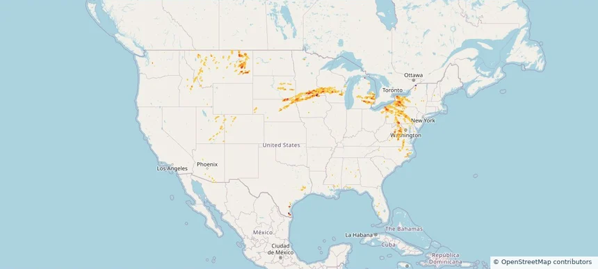
Nationwide Daily Hail, Wind & Tornado Map - August 11, 2026 — regional hail footprint preview
Storm footprint preview
Aug 10, 2026 10:00 PM to Aug 12, 2026 1:54 AM CST

Nationwide Daily Hail, Wind & Tornado Map - August 11, 2026

Hail as large as 4.50 inches was reported near 5 miles northwest of Clinton, NE. Wind up to 128 mph was reported near 13 miles northeast of Newell, SD. 29 tornadoes were reported, including one near 8 miles south-southwest of Faith, SD. The storm had 51 official hail reports.

Affected states: National, AL, AZ, CA, CT, FL, GA, IL, IN, IA, KS, KY, MD, MI, MT, NE, NJ, NM, NY, NC, ND, OH, PA, SC, SD, TN, TX, UT, VT, VA, WV, WI, WY
4.55 inRadar size estimate 3,928,776Population Affected 1,679,380Houses Affected Hail · Wind · TornadoHazards FreeAccount signup
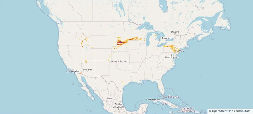
New Castle, PA — August 10, 2026 — regional hail footprint preview
Storm footprint preview

Local hail summary for the New Castle area: 2.32 square miles of estimated ground-hail footprint; highest mapped band 1+ inches. 0 official hail report(s) within the summary area. Exposure estimates are not confirmed property damage. Open the map to explore the full coverage included in your access. Statistics cover the mapped hail footprint inside the Census boundary of New Castle, PA, not the entire region. The place had 21,926 residents in the 2020 Census. A boundary intersection does not mean the whole community was hit. Estimated housing exposure: 1,152 units in 1-inch-or-larger bands, including 0 in 1.5-inch-or-larger bands and 0 in 2-inch-or-larger bands.

Affected states: New Castle area, PA
1+ inRadar size estimate 7,904Population Affected 3,655Houses Affected HailHazards FreeAccount signup
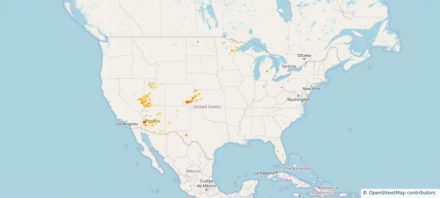
Page 1 of 4
‹ 1 2 4 ›

Frequently asked questions

Can I search hail maps by coverage area?

Yes. The storm library supports coverage-area filtering so you can find hail maps and hail swaths in a target service area.

What kinds of storms appear in the HailMapr library?

The library focuses on published hail events, including ready storm maps and live storms once hail has been detected and a public swath is available.

Are HailMapr storm pages useful for roofers and adjusters?

Yes. They are built to help roofers, adjusters, restoration teams, and property owners review storm footprints before purchase.