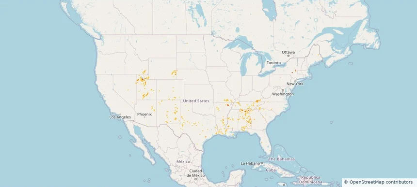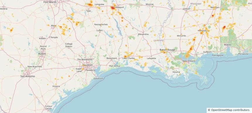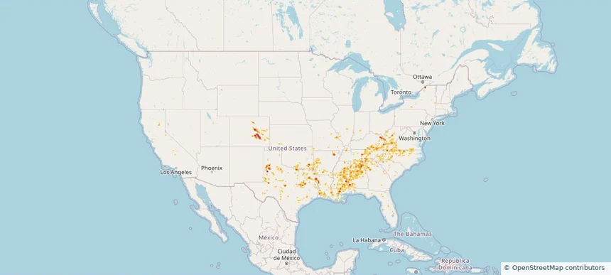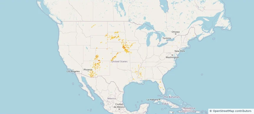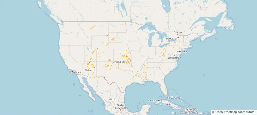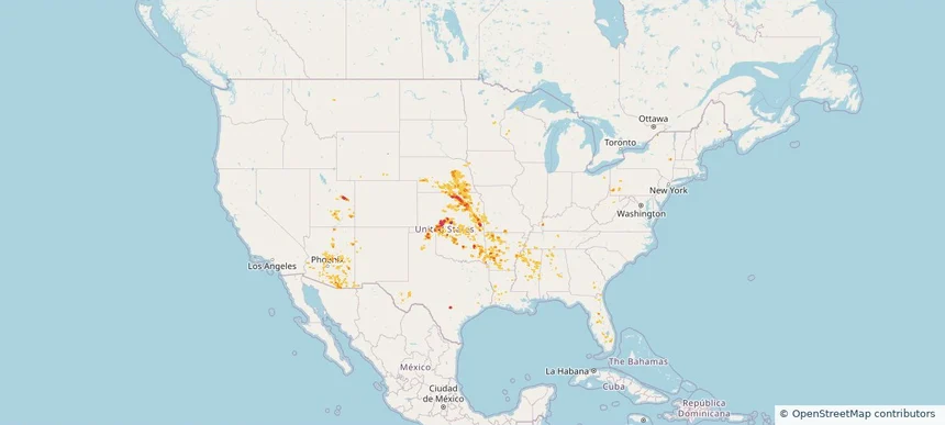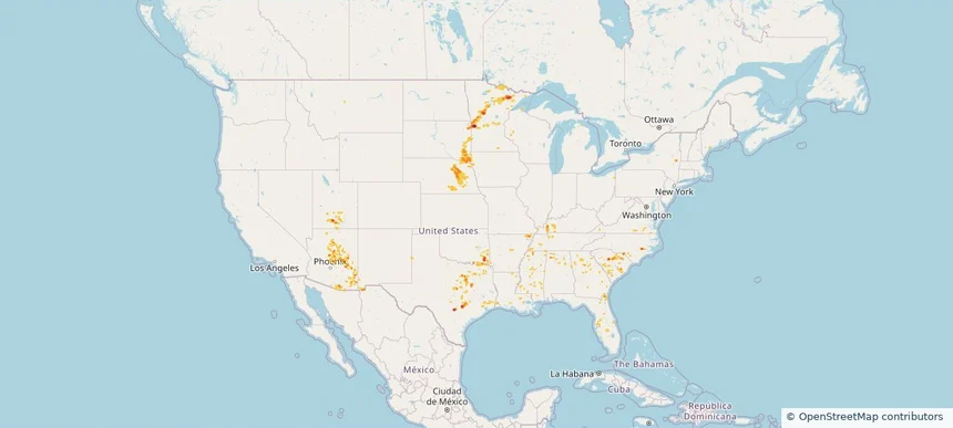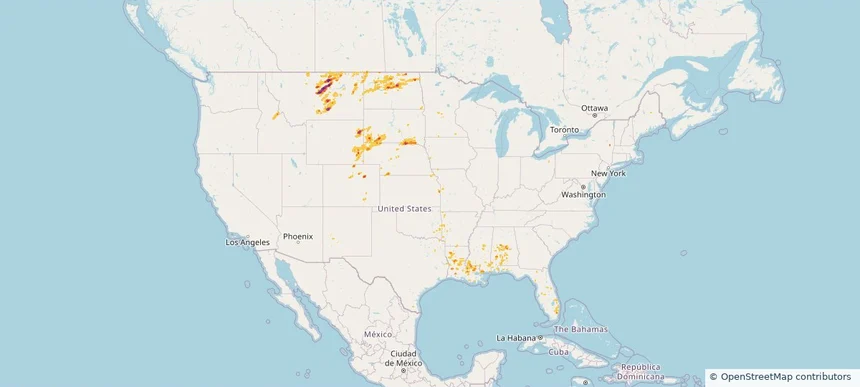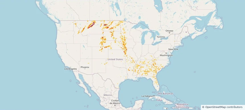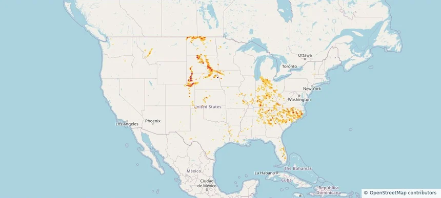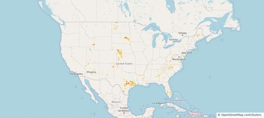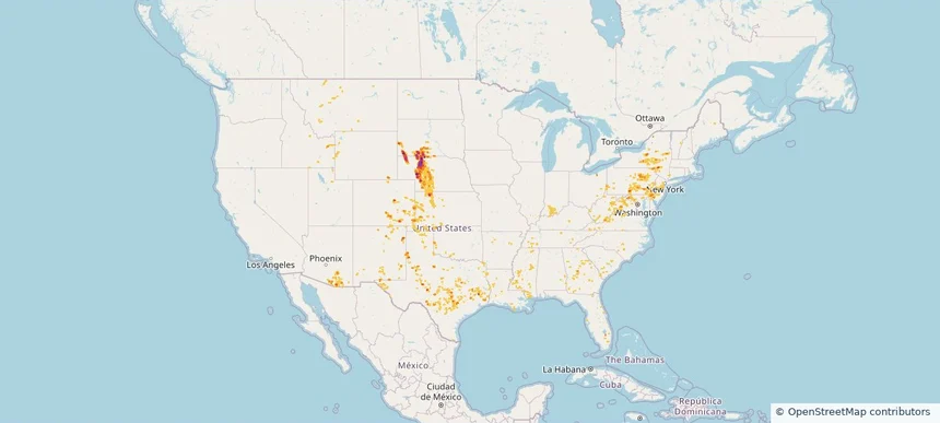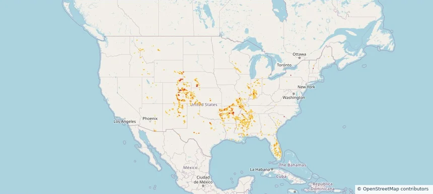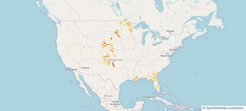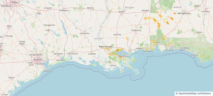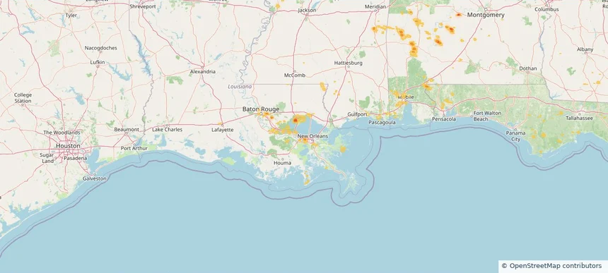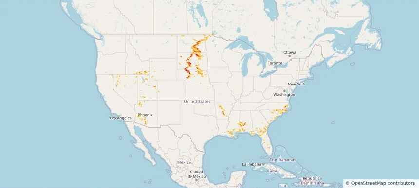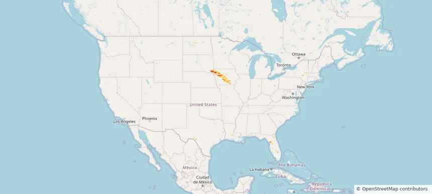
Nationwide Daily Hail, Wind & Tornado Map - October 9, 2026
Hail as large as 1.75 inches was reported near 3 miles east of Redfield, IA. A tornado was reported near 1 mile north of Green Point, FL. The storm had 6 official hail reports.
Review storm footprints, hail swaths, reports, and replay access. Create a free account to save your setup and move into map access when a storm matters.

Hail as large as 1.75 inches was reported near 3 miles east of Redfield, IA. A tornado was reported near 1 mile north of Green Point, FL. The storm had 6 official hail reports.

Hail as large as 1.00 inches was reported near 4 miles south of Colorado Springs, CO. Wind up to 85 mph was reported near 8 miles southwest of Sundown, TX. The storm had 4 official hail reports.

Local hail summary for the Sulphur area: 4.44 square miles of estimated ground-hail footprint; highest mapped band 1.5+ inches. 0 official hail report(s) within the summary area. Exposure estimates are not confirmed property damage. Open the map to explore the full coverage included in your access. Statistics cover the mapped hail footprint inside the Census boundary of Sulphur, LA, not the entire region. The place had 21,809 residents in the 2020 Census. A boundary intersection does not mean the whole community was hit. Estimated housing exposure: 3,887 units in 1-inch-or-larger bands, including 315 in 1.5-inch-or-larger bands and 0 in 2-inch-or-larger bands.

Hail as large as 1.50 inches was reported near Ordway 3.5 W, CO. Wind up to 77 mph was reported near 1 mile east-southeast of Black Rock, AR. The storm had 11 official hail reports.

Hail as large as 1.00 inches was reported near 4 miles north of Monarch, MT. Wind up to 100 mph was reported near 3 miles northeast of Guide Rock, NE. 2 tornadoes were reported, including one near 3 miles southwest of Avoca, NE. The storm had 5 official hail reports.

Hail as large as 1.50 inches was reported near 5 miles southwest of Dunlap, KS. Wind up to 97 mph was reported near Chanute Martin Johnson, KS. The storm had 5 official hail reports.

Hail as large as 2.50 inches was reported near San Antonio 8.6 Sw, TX. Wind up to 97 mph was reported near Chanute Martin Johnson, KS. 2 tornadoes were reported, including one near 1 mile east-southeast of Spring Grove, VA. The storm had 17 official hail reports.

Hail as large as 2.50 inches was reported near 3 miles southeast of Converse, TX. Wind up to 78 mph was reported near 2 miles east of Deming, NM. 3 tornadoes were reported, including one near 4 miles northeast of Artichoke, MN. The storm had 17 official hail reports.

Hail as large as 2.25 inches was reported near 1 mile south-southeast of Lake Tanglewood, TX. Wind up to 100 mph was reported near 1 mile southeast of Colby, KS. A tornado was reported near 3 miles southeast of Toluca, IL. The storm had 5 official hail reports.

Hail as large as 2.25 inches was reported near Ankeny, IA. Wind up to 104 mph was reported near 28 miles southeast of Bosque Del Apache, NM. The storm had 2 official hail reports.

Hail as large as 3.25 inches was reported near 14 miles southwest of Landusky, MT. Wind up to 84 mph was reported near 8 miles south of Sibley Peak, WY. 3 tornadoes were reported, including one near 2 miles west of Hammond, LA. The storm had 4 official hail reports.

Hail as large as 3.25 inches was reported near 14 miles southwest of Landusky, MT. Wind up to 96 mph was reported near 3 miles north-northeast of Kingsley Dam, NE. 2 tornadoes were reported, including one near 8 miles south-southwest of Arnegard, ND. The storm had 23 official hail reports.

Hail as large as 2.50 inches was reported near 5 miles west-northwest of Alliance, NE. Wind up to 96 mph was reported near 3 miles north-northeast of Kingsley Dam, NE. 2 tornadoes were reported, including one near 3 miles east of Folkstone, NC. The storm had 20 official hail reports.

Hail as large as 1.75 inches was reported near Mayville, WI. Wind up to 93 mph was reported near 3 miles northeast of Aspermont, TX. The storm had 8 official hail reports.

Hail as large as 2.30 inches was reported near 3 miles west-northwest of Elbow Lake, MN. Wind up to 86 mph was reported near 1 mile southwest of Braddock, PA. 2 tornadoes were reported, including one near Lincoln Park, MI. The storm had 20 official hail reports.

Hail as large as 1.00 inches was reported near 2 miles south of Spring, TX. Wind up to 91 mph was reported near 3 miles south-southwest of Santaquin, UT. The storm had 1 official hail report.

Hail as large as 2.50 inches was reported near 21 miles west-southwest of Merritt Reservoi, NE. Wind up to 112 mph was reported near 3 miles north of Luling, TX. 3 tornadoes were reported, including one near 3 miles northeast of Rosita, CO. The storm had 24 official hail reports.

Hail as large as 2.50 inches was reported near 12 miles northeast of North Cheyenne, WY. Wind up to 84 mph was reported near 8 miles south of Sibley Peak, WY. The storm had 28 official hail reports.

Hail as large as 3.00 inches was reported near Gould, OK. Wind up to 97 mph was reported near 1 mile east of Clayton, NM. The storm had 16 official hail reports.

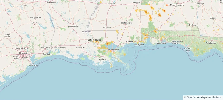
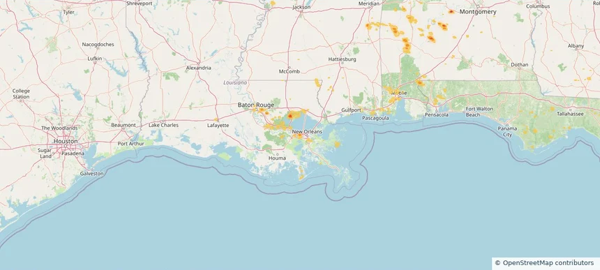
Local hail summary for the Baton Rouge area: 3.44 square miles of estimated ground-hail footprint; highest mapped band 1+ inches. 0 official hail report(s) within the summary area. Exposure estimates are not confirmed property damage. Open the map to explore the full coverage included in your access. Statistics cover the mapped hail footprint inside the Census boundary of Baton Rouge, LA, not the entire region. The place had 227,470 residents in the 2020 Census. A boundary intersection does not mean the whole community was hit. Estimated housing exposure: 2,525 units in 1-inch-or-larger bands, including 0 in 1.5-inch-or-larger bands and 0 in 2-inch-or-larger bands.

Local hail summary for the Kenner area: 0.22 square miles of estimated ground-hail footprint; highest mapped band 1+ inches. 0 official hail report(s) within the summary area. Exposure estimates are not confirmed property damage. Open the map to explore the full coverage included in your access. Statistics cover the mapped hail footprint inside the Census boundary of Kenner, LA, not the entire region. The place had 66,448 residents in the 2020 Census. A boundary intersection does not mean the whole community was hit. Estimated housing exposure: 359 units in 1-inch-or-larger bands, including 0 in 1.5-inch-or-larger bands and 0 in 2-inch-or-larger bands.

Local hail summary for the Metairie area: 0.57 square miles of estimated ground-hail footprint; highest mapped band 1+ inches. 0 official hail report(s) within the summary area. Exposure estimates are not confirmed property damage. Open the map to explore the full coverage included in your access. Statistics cover the mapped hail footprint inside the Census boundary of Metairie, LA, not the entire region. The place had 143,507 residents in the 2020 Census. A boundary intersection does not mean the whole community was hit. Estimated housing exposure: 343 units in 1-inch-or-larger bands, including 0 in 1.5-inch-or-larger bands and 0 in 2-inch-or-larger bands.

Local hail summary for the River Ridge area: 1.79 square miles of estimated ground-hail footprint; highest mapped band 1+ inches. 0 official hail report(s) within the summary area. Exposure estimates are not confirmed property damage. Open the map to explore the full coverage included in your access. Statistics cover the mapped hail footprint inside the Census boundary of River Ridge, LA, not the entire region. The place had 13,591 residents in the 2020 Census. A boundary intersection does not mean the whole community was hit. Estimated housing exposure: 2,380 units in 1-inch-or-larger bands, including 0 in 1.5-inch-or-larger bands and 0 in 2-inch-or-larger bands.

Hail as large as 3.25 inches was reported near 2 miles northwest of Tolna, ND. Wind up to 89 mph was reported near 5 miles west of Wishek, ND. A tornado was reported near 4 miles north-northwest of Atlantic, NC. The storm had 6 official hail reports.
Yes. The storm library supports coverage-area filtering so you can find hail maps and hail swaths in a target service area.
The library focuses on published hail events, including ready storm maps and live storms once hail has been detected and a public swath is available.
Yes. They are built to help roofers, adjusters, restoration teams, and property owners review storm footprints before purchase.