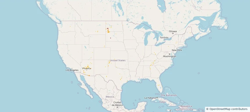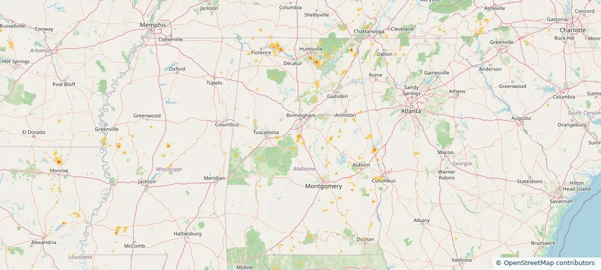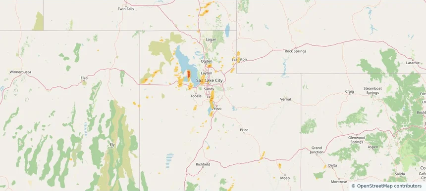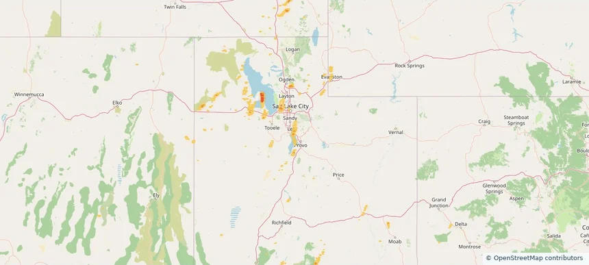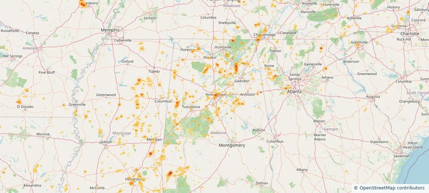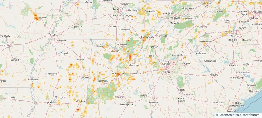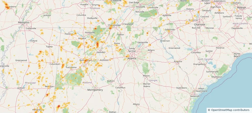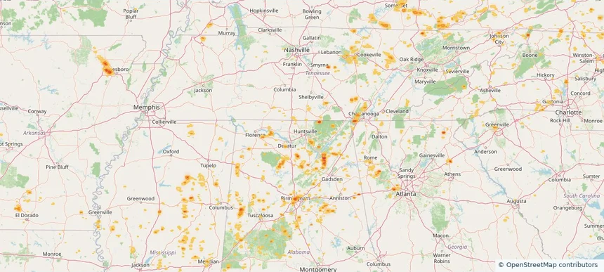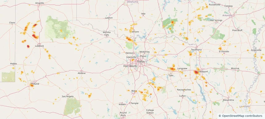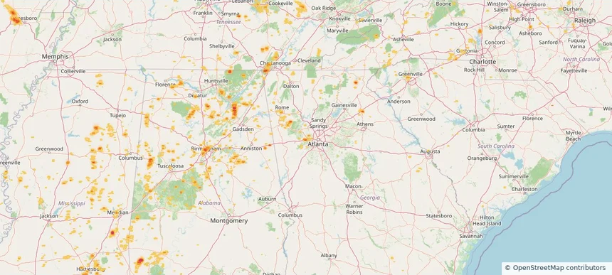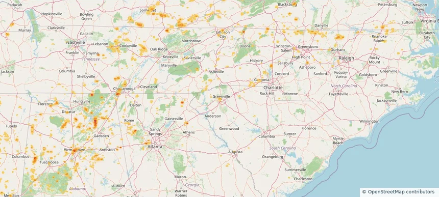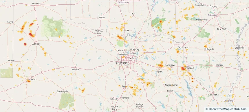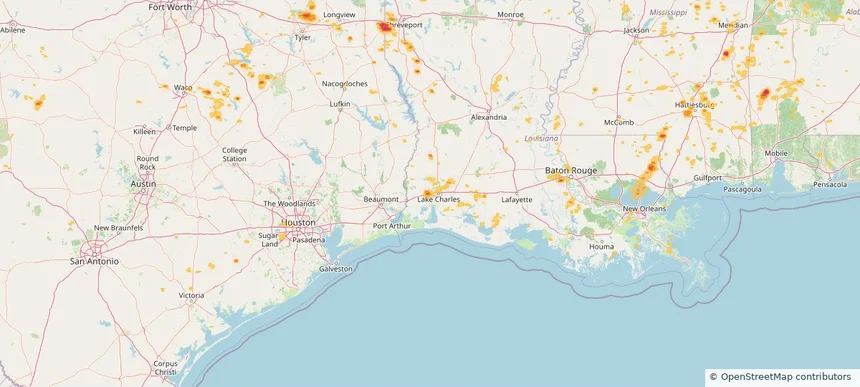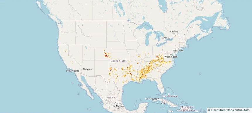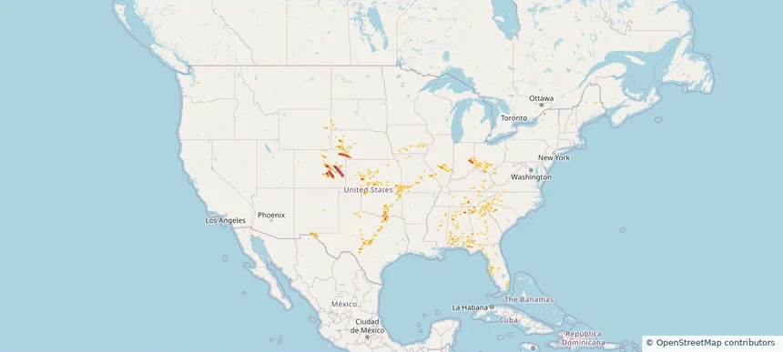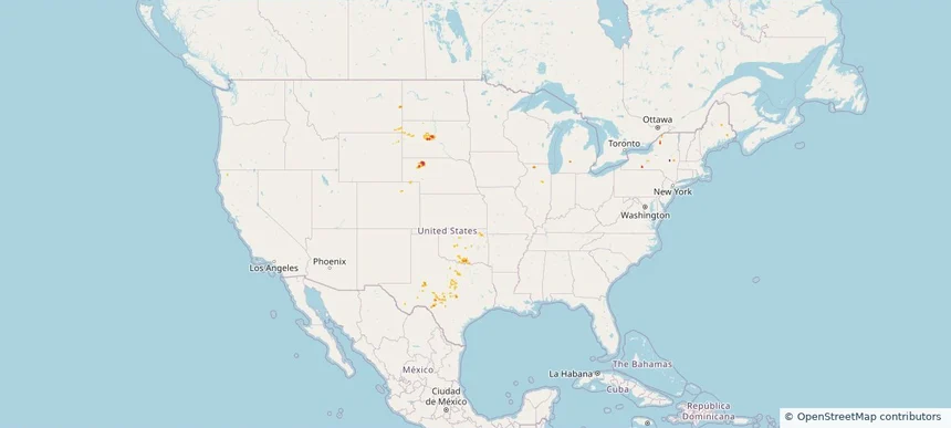
Nationwide Daily Hail & Wind Map - September 27, 2026
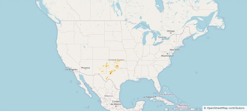
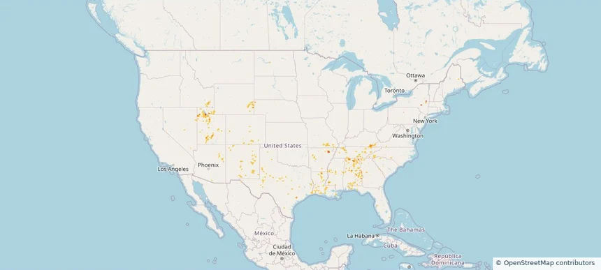
Hail as large as 1.00 inches was reported near 20 miles south of Merriman, NE. Wind up to 76 mph was reported near 10 miles northwest of Okobojo Creek Rec, SD. The storm had 4 hail reports.
Review storm footprints, hail swaths, reports, and replay access. Create a free account to save your setup and move into map access when a storm matters.

Hail as large as 1.00 inches was reported near 20 miles south of Merriman, NE. Wind up to 76 mph was reported near 10 miles northwest of Okobojo Creek Rec, SD. The storm had 4 hail reports.

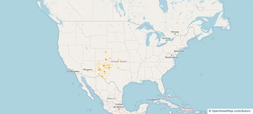
Hail as large as 1.00 inches was reported near 3 miles northeast of Lake Lawtonka, OK. Wind up to 68 mph was reported near 4 miles north-northeast of Chester, MT. The storm had 1 hail report.

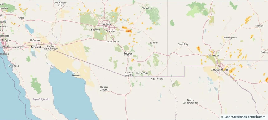
Hail as large as 1.00 inches was reported near Tecolote, NM. Wind up to 70 mph was reported near 6 miles west-northwest of Ledger, MT. 2 tornadoes were reported, including one near 3 miles south of Wilmore, KS. The storm had 5 official hail reports.

Local hail summary for the Vail area: 1.18 square miles of estimated ground-hail footprint; highest mapped band 1+ inches. 0 official hail report(s) within the summary area. Exposure estimates are not confirmed property damage. Open the map to explore the full coverage included in your access. Statistics cover the mapped hail footprint inside the Census boundary of Vail, AZ, not the entire region. The place had 13,604 residents in the 2020 Census. A boundary intersection does not mean the whole community was hit. Estimated housing exposure: 674 units in 1-inch-or-larger bands, including 0 in 1.5-inch-or-larger bands and 0 in 2-inch-or-larger bands.

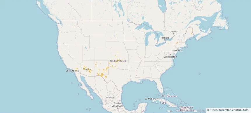
Hail as large as 1.00 inches was reported near Twentynine Palms 0.3 Nne, CA. Wind up to 69 mph was reported near Memphis, TX. The storm had 3 official hail reports.

Hail as large as 2.75 inches was reported near 2 miles southwest of South Heart, ND. Wind up to 67 mph was reported near 4 miles southeast of Frederick, OK. A tornado was reported near 3 miles south-southwest of Bucyrus, ND. The storm had 3 official hail reports.

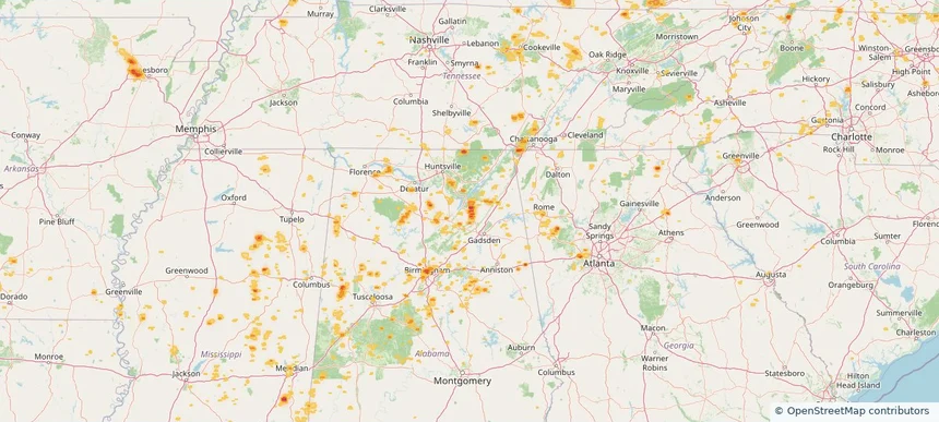
Local hail summary for the Alabaster area: 4.76 square miles of estimated ground-hail footprint; highest mapped band 1+ inches. 0 official hail report(s) within the summary area. Exposure estimates are not confirmed property damage. Open the map to explore the full coverage included in your access. Statistics cover the mapped hail footprint inside the Census boundary of Alabaster, AL, not the entire region. The place had 33,284 residents in the 2020 Census. A boundary intersection does not mean the whole community was hit. Estimated housing exposure: 1,242 units in 1-inch-or-larger bands, including 0 in 1.5-inch-or-larger bands and 0 in 2-inch-or-larger bands.

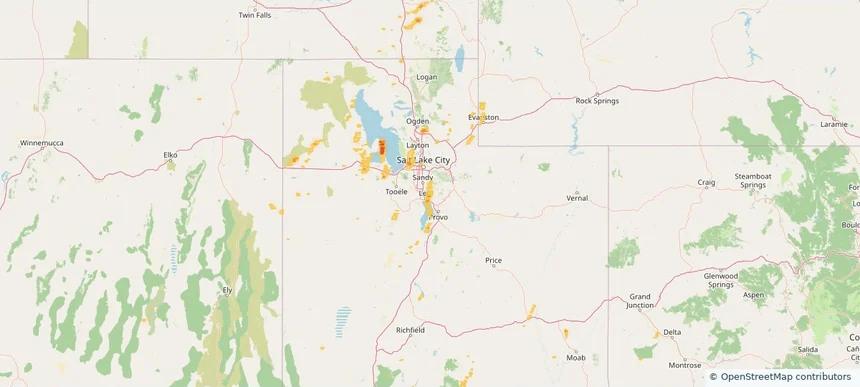
Local hail summary for the Alpine area: 5.36 square miles of estimated ground-hail footprint; highest mapped band 1+ inches. 0 official hail report(s) within the summary area. Exposure estimates are not confirmed property damage. Open the map to explore the full coverage included in your access. Statistics cover the mapped hail footprint inside the Census boundary of Alpine, UT, not the entire region. The place had 10,251 residents in the 2020 Census. A boundary intersection does not mean the whole community was hit. Estimated housing exposure: 186 units in 1-inch-or-larger bands, including 0 in 1.5-inch-or-larger bands and 0 in 2-inch-or-larger bands.

Local hail summary for the American Fork area: 4.82 square miles of estimated ground-hail footprint; highest mapped band 1+ inches. 0 official hail report(s) within the summary area. Exposure estimates are not confirmed property damage. Open the map to explore the full coverage included in your access. Statistics cover the mapped hail footprint inside the Census boundary of American Fork, UT, not the entire region. The place had 33,337 residents in the 2020 Census. A boundary intersection does not mean the whole community was hit. Estimated housing exposure: 2,625 units in 1-inch-or-larger bands, including 0 in 1.5-inch-or-larger bands and 0 in 2-inch-or-larger bands.

Local hail summary for the Highland area: 6.26 square miles of estimated ground-hail footprint; highest mapped band 1+ inches. 0 official hail report(s) within the summary area. Exposure estimates are not confirmed property damage. Open the map to explore the full coverage included in your access. Statistics cover the mapped hail footprint inside the Census boundary of Highland, UT, not the entire region. The place had 19,348 residents in the 2020 Census. A boundary intersection does not mean the whole community was hit. Estimated housing exposure: 1,231 units in 1-inch-or-larger bands, including 0 in 1.5-inch-or-larger bands and 0 in 2-inch-or-larger bands.

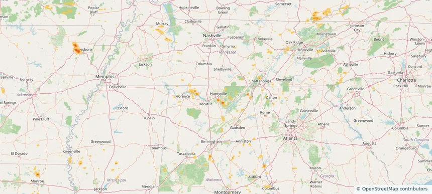
Local hail summary for the Huntsville area: 1.89 square miles of estimated ground-hail footprint; highest mapped band 1+ inches. 0 official hail report(s) within the summary area. Exposure estimates are not confirmed property damage. Open the map to explore the full coverage included in your access. Statistics cover the mapped hail footprint inside the Census boundary of Huntsville, AL, not the entire region. The place had 215,006 residents in the 2020 Census. A boundary intersection does not mean the whole community was hit. Estimated housing exposure: 369 units in 1-inch-or-larger bands, including 0 in 1.5-inch-or-larger bands and 0 in 2-inch-or-larger bands.

Hail as large as 1.00 inches was reported near 4 miles south of Colorado Springs, CO. Wind up to 85 mph was reported near 8 miles southwest of Sundown, TX. The storm had 4 official hail reports.

Local hail summary for the Albertville area: 16.16 square miles of estimated ground-hail footprint; highest mapped band 2+ inches. 1 official hail report(s) within the summary area. Exposure estimates are not confirmed property damage. Open the map to explore the full coverage included in your access. Statistics cover the mapped hail footprint inside the Census boundary of Albertville, AL, not the entire region. The place had 22,386 residents in the 2020 Census. A boundary intersection does not mean the whole community was hit. Estimated housing exposure: 5,204 units in 1-inch-or-larger bands, including 1,012 in 1.5-inch-or-larger bands and 81 in 2-inch-or-larger bands.

Local hail summary for the Birmingham area: 13.01 square miles of estimated ground-hail footprint; highest mapped band 1.5+ inches. 0 official hail report(s) within the summary area. Exposure estimates are not confirmed property damage. Open the map to explore the full coverage included in your access. Statistics cover the mapped hail footprint inside the Census boundary of Birmingham, AL, not the entire region. The place had 200,733 residents in the 2020 Census. A boundary intersection does not mean the whole community was hit. Estimated housing exposure: 2,944 units in 1-inch-or-larger bands, including 1,252 in 1.5-inch-or-larger bands and 0 in 2-inch-or-larger bands.

Local hail summary for the Boaz area: 6.00 square miles of estimated ground-hail footprint; highest mapped band 1+ inches. 0 official hail report(s) within the summary area. Exposure estimates are not confirmed property damage. Open the map to explore the full coverage included in your access. Statistics cover the mapped hail footprint inside the Census boundary of Boaz, AL, not the entire region. The place had 10,107 residents in the 2020 Census. A boundary intersection does not mean the whole community was hit. Estimated housing exposure: 2,008 units in 1-inch-or-larger bands, including 0 in 1.5-inch-or-larger bands and 0 in 2-inch-or-larger bands.

Local hail summary for the Douglasville area: 0.52 square miles of estimated ground-hail footprint; highest mapped band 1+ inches. 0 official hail report(s) within the summary area. Exposure estimates are not confirmed property damage. Open the map to explore the full coverage included in your access. Statistics cover the mapped hail footprint inside the Census boundary of Douglasville, GA, not the entire region. The place had 34,650 residents in the 2020 Census. A boundary intersection does not mean the whole community was hit. Estimated housing exposure: 173 units in 1-inch-or-larger bands, including 0 in 1.5-inch-or-larger bands and 0 in 2-inch-or-larger bands.

Local hail summary for the Huntsville area: 1.24 square miles of estimated ground-hail footprint; highest mapped band 1+ inches. 0 official hail report(s) within the summary area. Exposure estimates are not confirmed property damage. Open the map to explore the full coverage included in your access. Statistics cover the mapped hail footprint inside the Census boundary of Huntsville, AL, not the entire region. The place had 215,006 residents in the 2020 Census. A boundary intersection does not mean the whole community was hit. Estimated housing exposure: 603 units in 1-inch-or-larger bands, including 0 in 1.5-inch-or-larger bands and 0 in 2-inch-or-larger bands.

Local hail summary for the Keller area: 6.20 square miles of estimated ground-hail footprint; highest mapped band 1+ inches. 1 official hail report(s) within the summary area. Exposure estimates are not confirmed property damage. Open the map to explore the full coverage included in your access. Statistics cover the mapped hail footprint inside the Census boundary of Keller, TX, not the entire region. The place had 45,776 residents in the 2020 Census. A boundary intersection does not mean the whole community was hit. Estimated housing exposure: 2,457 units in 1-inch-or-larger bands, including 0 in 1.5-inch-or-larger bands and 0 in 2-inch-or-larger bands.

Local hail summary for the Lithia Springs area: 1.75 square miles of estimated ground-hail footprint; highest mapped band 1+ inches. 0 official hail report(s) within the summary area. Exposure estimates are not confirmed property damage. Open the map to explore the full coverage included in your access. Statistics cover the mapped hail footprint inside the Census boundary of Lithia Springs, GA, not the entire region. The place had 16,644 residents in the 2020 Census. A boundary intersection does not mean the whole community was hit. Estimated housing exposure: 672 units in 1-inch-or-larger bands, including 0 in 1.5-inch-or-larger bands and 0 in 2-inch-or-larger bands.

Local hail summary for the Parker area: 1.43 square miles of estimated ground-hail footprint; highest mapped band 1+ inches. 0 official hail report(s) within the summary area. Exposure estimates are not confirmed property damage. Open the map to explore the full coverage included in your access. Statistics cover the mapped hail footprint inside the Census boundary of Parker, SC, not the entire region. The place had 13,407 residents in the 2020 Census. A boundary intersection does not mean the whole community was hit. Estimated housing exposure: 381 units in 1-inch-or-larger bands, including 0 in 1.5-inch-or-larger bands and 0 in 2-inch-or-larger bands.

Local hail summary for the Southlake area: 4.47 square miles of estimated ground-hail footprint; highest mapped band 1+ inches. 0 official hail report(s) within the summary area. Exposure estimates are not confirmed property damage. Open the map to explore the full coverage included in your access. Statistics cover the mapped hail footprint inside the Census boundary of Southlake, TX, not the entire region. The place had 31,265 residents in the 2020 Census. A boundary intersection does not mean the whole community was hit. Estimated housing exposure: 849 units in 1-inch-or-larger bands, including 0 in 1.5-inch-or-larger bands and 0 in 2-inch-or-larger bands.

Local hail summary for the Sulphur area: 4.44 square miles of estimated ground-hail footprint; highest mapped band 1.5+ inches. 0 official hail report(s) within the summary area. Exposure estimates are not confirmed property damage. Open the map to explore the full coverage included in your access. Statistics cover the mapped hail footprint inside the Census boundary of Sulphur, LA, not the entire region. The place had 21,809 residents in the 2020 Census. A boundary intersection does not mean the whole community was hit. Estimated housing exposure: 3,887 units in 1-inch-or-larger bands, including 315 in 1.5-inch-or-larger bands and 0 in 2-inch-or-larger bands.

Hail as large as 1.50 inches was reported near Ordway 3.5 W, CO. Wind up to 77 mph was reported near 1 mile east-southeast of Black Rock, AR. The storm had 11 official hail reports.

Hail as large as 4.00 inches was reported near 3 miles south of Chivington, CO. Wind up to 86 mph was reported near Wichita Eisenhower Airp, KS. The storm had 11 official hail reports.
Yes. The storm library supports coverage-area filtering so you can find hail maps and hail swaths in a target service area.
The library focuses on published hail events, including ready storm maps and live storms once hail has been detected and a public swath is available.
Yes. They are built to help roofers, adjusters, restoration teams, and property owners review storm footprints before purchase.