Storm library

Browse live and recent hail maps.

Review storm footprints, hail swaths, reports, and replay access. Create a free account to save your setup and move into map access when a storm matters.

Search filters
Clear
Newest storms first by default.
Don't see your storm? Request a qualifying storm map and we'll email you when it is ready.
Showing 193-216 of 329 storms · Page 9 of 14
‹ 1 8 9 10 14 ›
Request a storm map

Tell us about the storm and we'll build the map. Once it's published you'll get an email and can purchase it from the library — just like any other event.

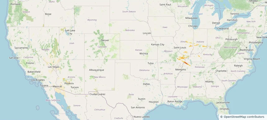
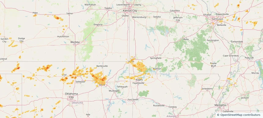
Kansas City, MO — March 10, 2026 — regional hail footprint preview
Storm footprint preview

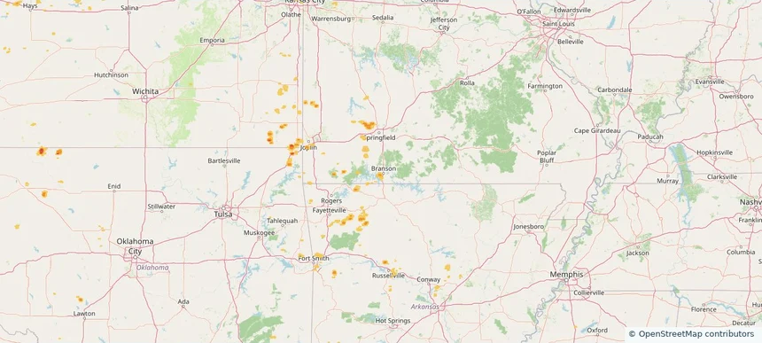
Local hail summary for the Kansas City area: 33.73 square miles of estimated ground-hail footprint; highest mapped band 1+ inches. 3 official hail report(s) within the summary area. Exposure estimates are not confirmed property damage. Open the map to explore the full coverage included in your access. Statistics cover the mapped hail footprint inside the Census boundary of Kansas City, MO, not the entire region. The place had 508,090 residents in the 2020 Census. A boundary intersection does not mean the whole community was hit. Estimated housing exposure: 9,169 units in 1-inch-or-larger bands, including 0 in 1.5-inch-or-larger bands and 0 in 2-inch-or-larger bands.

Affected states: Kansas City area, MO
1+ inRadar size estimate 69,433Population Affected 32,832Houses Affected HailHazards FreeAccount signup
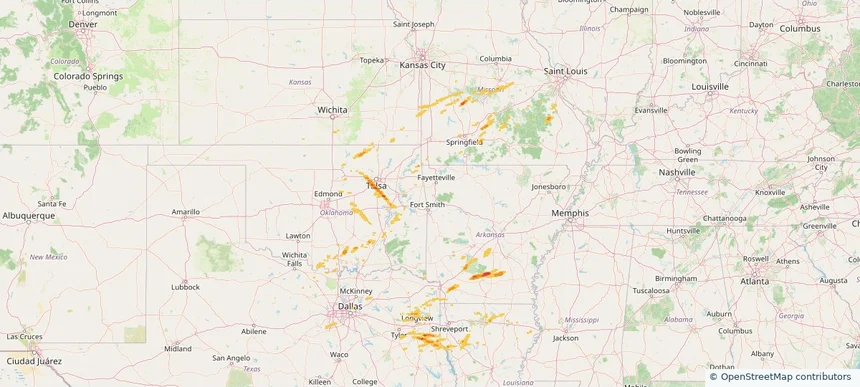
Liberty, MO — March 10, 2026 — regional hail footprint preview
Storm footprint preview

Local hail summary for the Liberty area: 3.58 square miles of estimated ground-hail footprint; highest mapped band 1+ inches. 0 official hail report(s) within the summary area. Exposure estimates are not confirmed property damage. Open the map to explore the full coverage included in your access. Statistics cover the mapped hail footprint inside the Census boundary of Liberty, MO, not the entire region. The place had 30,167 residents in the 2020 Census. A boundary intersection does not mean the whole community was hit. Estimated housing exposure: 2,147 units in 1-inch-or-larger bands, including 0 in 1.5-inch-or-larger bands and 0 in 2-inch-or-larger bands.

Affected states: Liberty area, MO
1+ inRadar size estimate 10,466Population Affected 4,622Houses Affected HailHazards FreeAccount signup
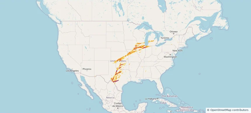
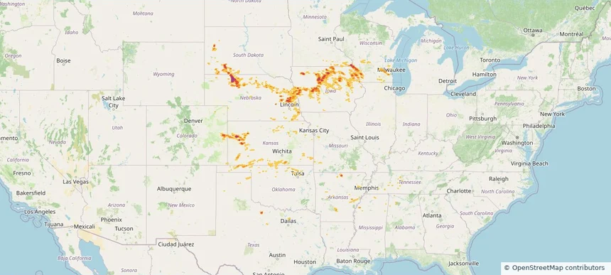
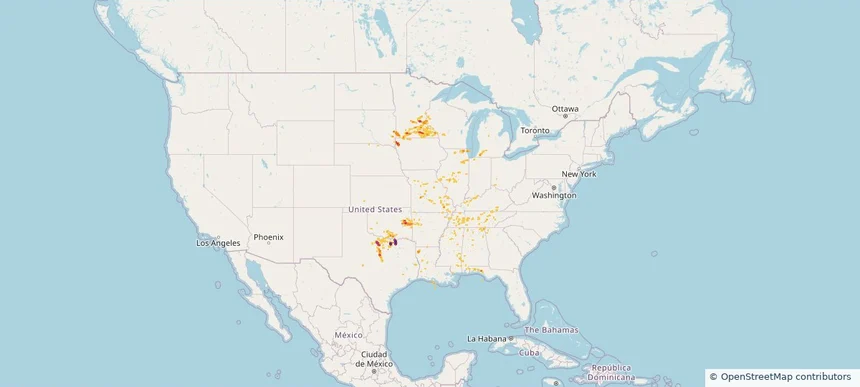
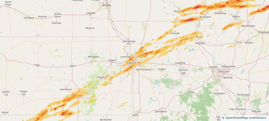
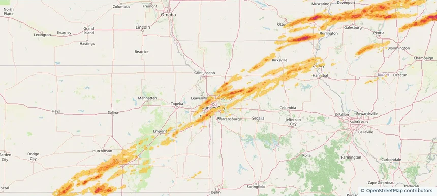
Nationwide Daily Hail, Wind & Tornado Map - March 10, 2026 — regional hail footprint preview
Storm footprint preview
Mar 9, 2026 10:00 PM to Mar 11, 2026 2:00 AM CST

Nationwide Daily Hail, Wind & Tornado Map - March 10, 2026

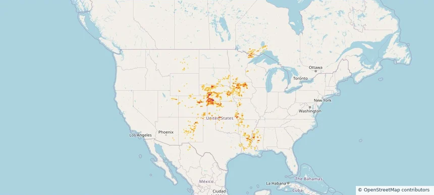
Hail as large as 6.10 inches was reported near 1 mile south-southeast of Kankakee, IL. Wind up to 98 mph was reported near Garnett, KS. 37 tornadoes were reported, including one near 1 mile west-northwest of Topeka, IL. The storm had 125 official hail reports.

Affected states: National, AL, AR, GA, IL, IN, IA, KS, MI, MO, OK, TX, WI
4.11 inRadar size estimate 3,403,654Population Affected 1,413,277Houses Affected Hail · Wind · TornadoHazards FreeAccount signup
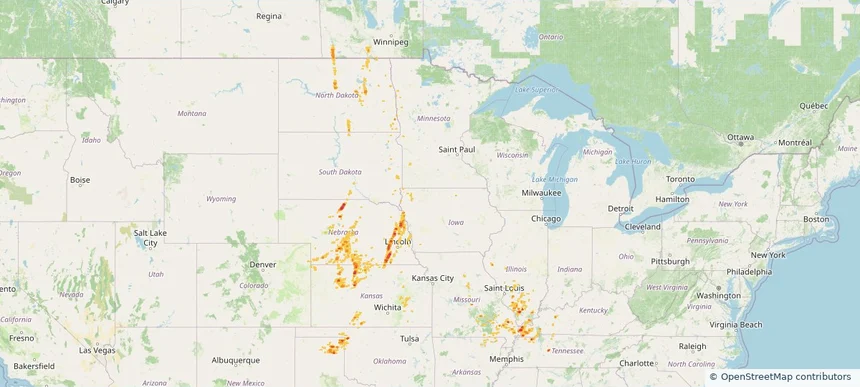
Historical Hail — 2026-03-06 — regional hail footprint preview
Storm footprint preview
Mar 6, 2026 6:00 AM to Mar 7, 2026 6:00 AM CST

Historical Hail — 2026-03-06

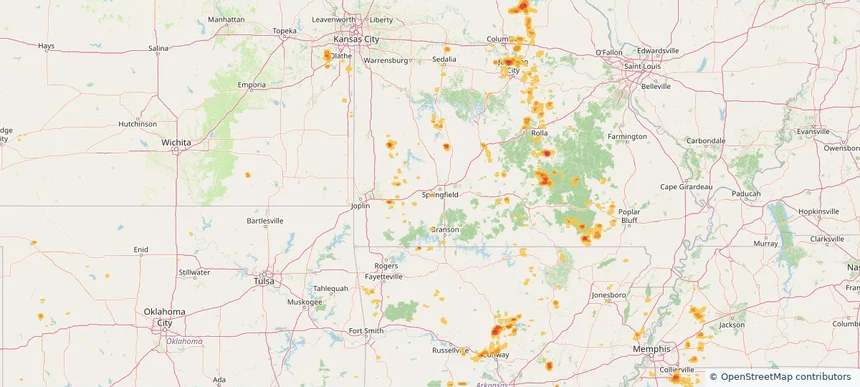
Hail as large as 2.00 inches was reported near Ohiowa, NEBRASKA. Wind up to 93 mph was reported near 6 miles northwest of Anderson, MO. 31 tornadoes were reported, including one near 2 miles west-northwest of Edwardsburg, MI. The storm had 16 official hail reports.

Affected states: National, AL, AR, FL, GA, IL, IN, IA, KS, LA, MI, MN, MS, MO, NE, NC, OK, TX
2.09 inRadar size estimate 621,220Population Affected 253,552Houses Affected Hail · Wind · TornadoHazards FreeAccount signup
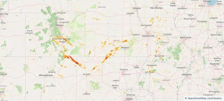
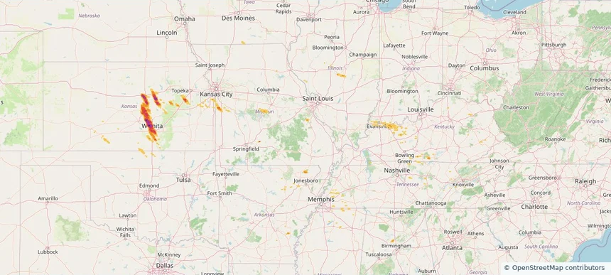
Historical Hail — 2026-03-05 — regional hail footprint preview
Storm footprint preview
Mar 5, 2026 6:00 AM to Mar 6, 2026 6:00 AM CST

Historical Hail — 2026-03-05

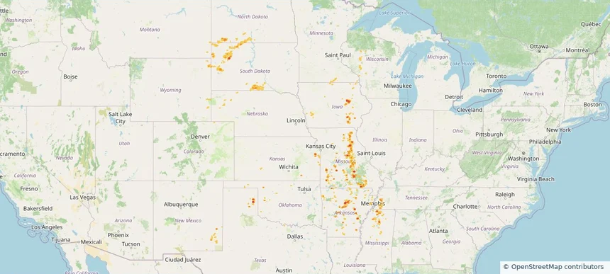
Hail as large as 1.75 inches was reported near Strong City, OKLAHOMA. Wind up to 67 mph was reported near 4 miles south-southwest of Haysville, KS. 12 tornadoes were reported, including one near 6 miles east-southeast of Orion, OK. The storm had 10 official hail reports.

Affected states: National, IA, KS, MO, NE, OK, TX
2.43 inRadar size estimate 30,555Population Affected 14,820Houses Affected Hail · Wind · TornadoHazards FreeAccount signup
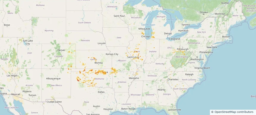
Historical Hail — 2026-02-19 — regional hail footprint preview
Storm footprint preview
Feb 19, 2026 6:00 AM to Feb 20, 2026 6:00 AM CST

Historical Hail — 2026-02-19

Hail as large as 1.50 inches was reported near Twilight, WEST VIRGINIA. Wind up to 81 mph was reported near 3 miles southwest of Whitehall, IN. 19 tornadoes were reported, including one near 3 miles east-southeast of Mason, IL. The storm had 12 official hail reports.

Affected states: National, IL, IN, KY, MO, OH, TN, VA, WV
1.84 inRadar size estimate 114,110Population Affected 52,189Houses Affected Hail · Wind · TornadoHazards FreeAccount signup
Historical Hail — 2025-11-18 — regional hail footprint preview
Storm footprint preview
Nov 18, 2025 6:00 AM to Nov 19, 2025 6:00 AM CST

Historical Hail — 2025-11-18

Hail as large as 1.00 inches was reported near Cerro Gordo, ILLINOIS. Wind up to 70 mph was reported near 8 miles south of Wolf Island, MO. 8 tornadoes were reported, including one near Fulton, KENTUCKY. The storm had 4 official hail reports.

Affected states: National, AZ, IL, IN, KY, MO, TN
1.99 inRadar size estimate 49,145Population Affected 21,263Houses Affected Hail · Wind · TornadoHazards FreeAccount signup
Historical Hail — 2025-10-18 — regional hail footprint preview
Storm footprint preview
Oct 18, 2025 7:00 AM to Oct 19, 2025 7:00 AM CST

Historical Hail — 2025-10-18

Hail as large as 1.75 inches was reported near Checotah, OKLAHOMA. Wind up to 75 mph was reported near Ok, OK. 12 tornadoes were reported, including one near Hot Spring, ARKANSAS. The storm had 4 official hail reports.

Affected states: National, AR, KS, LA, MS, MO, OK, TX
2.0 inRadar size estimate 117,918Population Affected 52,180Houses Affected Hail · Wind · TornadoHazards FreeAccount signup
Historical Hail — 2025-09-23 — regional hail footprint preview
Storm footprint preview
Sep 23, 2025 7:00 AM to Sep 24, 2025 7:00 AM CST

Historical Hail — 2025-09-23

Hail as large as 1.75 inches was reported near Thackerville, OKLAHOMA. Wind up to 93 mph was reported near Ar, AR. A tornado was reported near Bossier, LOUISIANA. The storm had 9 official hail reports.

Affected states: National, AR, KS, MO, OK, TX
2.5 inRadar size estimate 266,691Population Affected 123,029Houses Affected Hail · Wind · TornadoHazards FreeAccount signup
Historical Hail — 2025-09-22 — regional hail footprint preview
Storm footprint preview
Sep 22, 2025 7:00 AM to Sep 23, 2025 7:00 AM CST

Historical Hail — 2025-09-22

Hail as large as 2.00 inches was reported near Sutherland, IOWA. Wind up to 82 mph was reported near 1 mile south-southwest of Gage, OK. 4 tornadoes were reported, including one near Crawford, WISCONSIN. The storm had 15 official hail reports.

Affected states: National, AL, AR, CO, IL, IA, KS, MN, MS, MO, NE, NM, OK, SD, TN, TX, WI
2.99 inRadar size estimate 442,434Population Affected 196,006Houses Affected Hail · Wind · TornadoHazards FreeAccount signup
Historical Hail — 2025-09-21 — regional hail footprint preview
Storm footprint preview
Sep 21, 2025 7:00 AM to Sep 22, 2025 7:00 AM CST

Historical Hail — 2025-09-21

Hail as large as 2.50 inches was reported near Luella, TEXAS. Wind up to 85 mph was reported near Tx, TX. 5 tornadoes were reported, including one near Antrim, MICHIGAN. The storm had 22 official hail reports.

Affected states: National, AL, AR, FL, IL, IN, IA, KY, LA, MI, MN, MS, MO, NE, OH, OK, SD, TN, TX, WI
4.05 inRadar size estimate 863,909Population Affected 358,599Houses Affected Hail · Wind · TornadoHazards FreeAccount signup
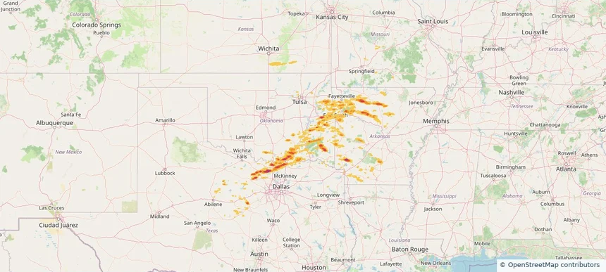
Joplin, MO — September 20, 2025 — regional hail footprint preview
Storm footprint preview

Local hail summary for the Joplin area: 8.08 square miles of estimated ground-hail footprint; highest mapped band 1+ inches. 0 official hail report(s) within the summary area. Exposure estimates are not confirmed property damage. Open the map to explore the full coverage included in your access. Statistics cover the mapped hail footprint inside the Census boundary of Joplin, MO, not the entire region. The place had 51,762 residents in the 2020 Census. A boundary intersection does not mean the whole community was hit. Estimated housing exposure: 3,851 units in 1-inch-or-larger bands, including 0 in 1.5-inch-or-larger bands and 0 in 2-inch-or-larger bands.

Affected states: Joplin area, MO
1+ inRadar size estimate 10,773Population Affected 5,261Houses Affected HailHazards FreeAccount signup
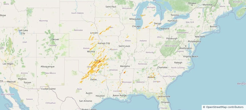
Historical Hail — 2025-09-20 — regional hail footprint preview
Storm footprint preview
Sep 20, 2025 7:00 AM to Sep 21, 2025 7:00 AM CST

Historical Hail — 2025-09-20

Hail as large as 1.75 inches was reported near Turley, OKLAHOMA. Wind up to 97 mph was reported near 4 miles east of Waukomis, OK. 5 tornadoes were reported, including one near Crawford, WISCONSIN. The storm had 6 official hail reports.

Affected states: National, AR, CO, IL, IN, KS, KY, MI, MO, NE, NM, OH, OK, PA, SC, TN, TX, VA, WV, WI
2.5 inRadar size estimate 493,405Population Affected 221,716Houses Affected Hail · Wind · TornadoHazards FreeAccount signup
Historical Hail — 2025-09-19 — regional hail footprint preview
Storm footprint preview
Sep 19, 2025 7:00 AM to Sep 20, 2025 7:00 AM CST

Historical Hail — 2025-09-19

Hail as large as 1.75 inches was reported near Jennings, KANSAS. Wind up to 91 mph was reported near 7 miles north-northeast of Tasco, KS. A tornado was reported near Mason, ILLINOIS. The storm had 2 official hail reports.

Affected states: National, AL, AZ, AR, IL, KS, KY, MN, MS, MO, NE, NM, OK, TN, WI
2.98 inRadar size estimate 77,081Population Affected 37,575Houses Affected Hail · Wind · TornadoHazards FreeAccount signup
Warrensburg, MO — September 18, 2025 — regional hail footprint preview
Storm footprint preview

Local hail summary for the Warrensburg area: 2.36 square miles of estimated ground-hail footprint; highest mapped band 1+ inches. 0 official hail report(s) within the summary area. Exposure estimates are not confirmed property damage. Open the map to explore the full coverage included in your access. Statistics cover the mapped hail footprint inside the Census boundary of Warrensburg, MO, not the entire region. The place had 19,337 residents in the 2020 Census. A boundary intersection does not mean the whole community was hit. Estimated housing exposure: 1,323 units in 1-inch-or-larger bands, including 0 in 1.5-inch-or-larger bands and 0 in 2-inch-or-larger bands.

Affected states: Warrensburg area, MO
1+ inRadar size estimate 3,799Population Affected 1,970Houses Affected HailHazards FreeAccount signup
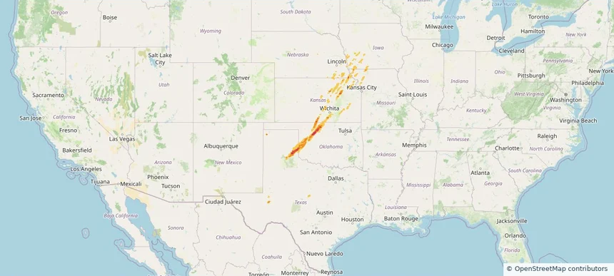
Historical Hail — 2025-09-17 — regional hail footprint preview
Storm footprint preview
Sep 17, 2025 7:00 AM to Sep 18, 2025 7:00 AM CST

Historical Hail — 2025-09-17

Hail as large as 1.75 inches was reported near Selman, OKLAHOMA. Wind up to 85 mph was reported near Tx, TX. A tornado was reported near Kit Carson, COLORADO. The storm had 4 official hail reports.

Affected states: National, AR, CO, IA, KS, MO, NE, NM, OK, TX
2.44 inRadar size estimate 88,964Population Affected 41,442Houses Affected Hail · Wind · TornadoHazards FreeAccount signup
Branson, MO — September 16, 2025 — regional hail footprint preview
Storm footprint preview

Local hail summary for the Branson area: 2.40 square miles of estimated ground-hail footprint; highest mapped band 1+ inches. 0 official hail report(s) within the summary area. Exposure estimates are not confirmed property damage. Open the map to explore the full coverage included in your access. Statistics cover the mapped hail footprint inside the Census boundary of Branson, MO, not the entire region. The place had 12,638 residents in the 2020 Census. A boundary intersection does not mean the whole community was hit. Estimated housing exposure: 692 units in 1-inch-or-larger bands, including 0 in 1.5-inch-or-larger bands and 0 in 2-inch-or-larger bands.

Affected states: Branson area, MO
1+ inRadar size estimate 1,776Population Affected 2,122Houses Affected HailHazards FreeAccount signup
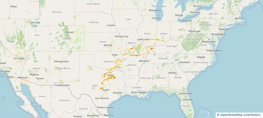
Historical Hail — 2025-09-16 — regional hail footprint preview
Storm footprint preview
Sep 16, 2025 7:00 AM to Sep 17, 2025 7:00 AM CST

Historical Hail — 2025-09-16

Hail as large as 3.00 inches was reported near Mc Cook, NEBRASKA. Wind up to 93 mph was reported near 6 miles east of Storrie Lake State, NM. 8 tornadoes were reported, including one near Mckenzie, NORTH DAKOTA. The storm had 27 official hail reports.

Affected states: National, AZ, AR, CO, IA, KS, LA, MN, MS, MO, MT, NE, NM, OK, SD, TX, UT, WI, WY
3.0 inRadar size estimate 323,914Population Affected 147,507Houses Affected Hail · Wind · TornadoHazards FreeAccount signup
Republic, MO — September 15, 2025 — regional hail footprint preview
Storm footprint preview

Local hail summary for the Republic area: 1.09 square miles of estimated ground-hail footprint; highest mapped band 1+ inches. 0 official hail report(s) within the summary area. Exposure estimates are not confirmed property damage. Open the map to explore the full coverage included in your access. Statistics cover the mapped hail footprint inside the Census boundary of Republic, MO, not the entire region. The place had 18,750 residents in the 2020 Census. A boundary intersection does not mean the whole community was hit. Estimated housing exposure: 207 units in 1-inch-or-larger bands, including 0 in 1.5-inch-or-larger bands and 0 in 2-inch-or-larger bands.

Affected states: Republic area, MO
1+ inRadar size estimate 1,820Population Affected 634Houses Affected HailHazards FreeAccount signup
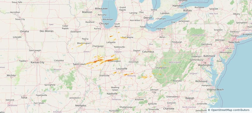
Historical Hail — 2025-09-15 — regional hail footprint preview
Storm footprint preview
Sep 15, 2025 7:00 AM to Sep 16, 2025 7:00 AM CST

Historical Hail — 2025-09-15

Hail as large as 1.25 inches was reported near La Porte City Arpt, IOWA. Wind up to 82 mph was reported near 2 miles east-northeast of Osage, WY. 6 tornadoes were reported, including one near Burleigh, NORTH DAKOTA. The storm had 3 official hail reports.

Affected states: National, AR, IA, KS, MN, MS, MO, MT, NE, NM, ND, OK, SD, TN, TX, WI, WY
2.0 inRadar size estimate 108,505Population Affected 49,420Houses Affected Hail · Wind · TornadoHazards FreeAccount signup
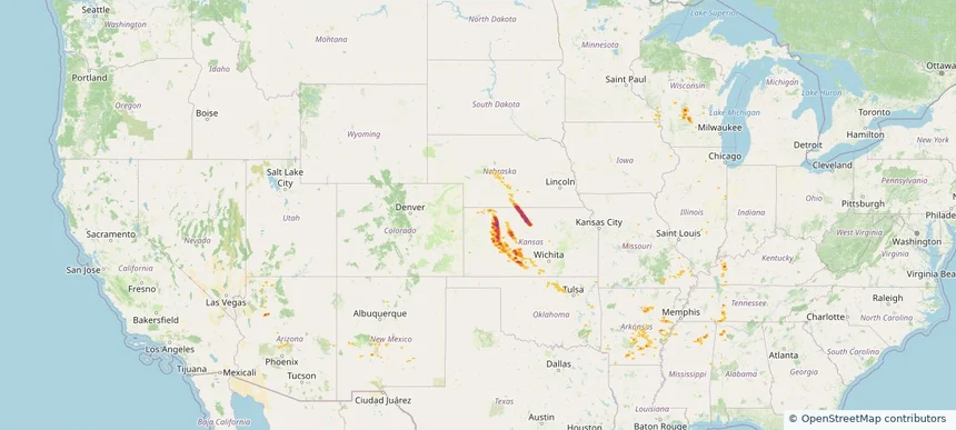
Historical Hail — 2025-09-14 — regional hail footprint preview
Storm footprint preview
Sep 14, 2025 7:00 AM to Sep 15, 2025 7:00 AM CST

Historical Hail — 2025-09-14

Hail as large as 1.25 inches was reported near Lyons, NEBRASKA. Wind up to 90 mph was reported near 8 miles west of Lipscomb, TX. 56 tornadoes were reported, including one near Burleigh, NORTH DAKOTA. The storm had 7 official hail reports.

Affected states: National, AR, CO, IL, IA, KS, KY, MN, MO, NE, ND, OK, SD, TN, TX
2.0 inRadar size estimate 96,405Population Affected 47,519Houses Affected Hail · Wind · TornadoHazards FreeAccount signup
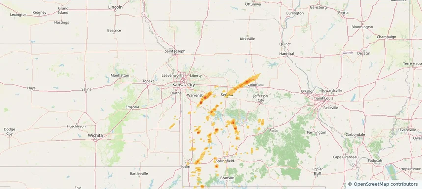
Historical Hail — 2025-09-03 — regional hail footprint preview
Storm footprint preview
Sep 3, 2025 7:00 AM to Sep 4, 2025 7:00 AM CST

Historical Hail — 2025-09-03

Hail as large as 3.00 inches was reported near Ramona, KANSAS. Wind up to 86 mph was reported near 3 miles southeast of Maize, KS. The storm had 24 official hail reports.

Affected states: National, AL, AR, IL, IN, IA, KS, KY, MS, MO, OK, TN
3.4 inRadar size estimate 489,863Population Affected 215,063Houses Affected Hail · WindHazards FreeAccount signup
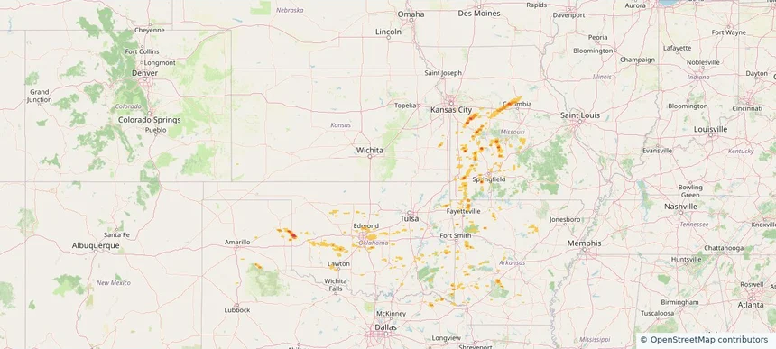
Page 9 of 14
‹ 1 8 9 10 14 ›

Frequently asked questions

Can I search hail maps by coverage area?

Yes. The storm library supports coverage-area filtering so you can find hail maps and hail swaths in a target service area.

What kinds of storms appear in the HailMapr library?

The library focuses on published hail events, including ready storm maps and live storms once hail has been detected and a public swath is available.

Are HailMapr storm pages useful for roofers and adjusters?

Yes. They are built to help roofers, adjusters, restoration teams, and property owners review storm footprints before purchase.