Storm library

Browse live and recent hail maps.

Review storm footprints, hail swaths, reports, and replay access. Create a free account to save your setup and move into map access when a storm matters.

Search filters
Clear
Newest storms first by default.
Don't see your storm? Request a qualifying storm map and we'll email you when it is ready.
Showing 193-216 of 234 storms · Page 9 of 10
‹ 1 8 9 10 ›
Request a storm map

Tell us about the storm and we'll build the map. Once it's published you'll get an email and can purchase it from the library — just like any other event.

Robbinsdale, MN — July 27, 2025 — regional hail footprint preview
Storm footprint preview

Local hail summary for the Robbinsdale area: 1.48 square miles of estimated ground-hail footprint; highest mapped band 1+ inches. 0 official hail report(s) within the summary area. Exposure estimates are not confirmed property damage. Open the map to explore the full coverage included in your access. Statistics cover the mapped hail footprint inside the Census boundary of Robbinsdale, MN, not the entire region. The place had 14,646 residents in the 2020 Census. A boundary intersection does not mean the whole community was hit. Estimated housing exposure: 3,147 units in 1-inch-or-larger bands, including 0 in 1.5-inch-or-larger bands and 0 in 2-inch-or-larger bands.

Affected states: Robbinsdale area, MN
1+ inRadar size estimate 7,783Population Affected 3,569Houses Affected HailHazards FreeAccount signup
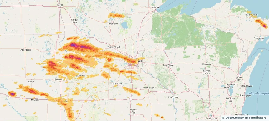
Roseville, MN — July 27, 2025 — regional hail footprint preview
Storm footprint preview

Local hail summary for the Roseville area: 13.80 square miles of estimated ground-hail footprint; highest mapped band 1.5+ inches. 0 official hail report(s) within the summary area. Exposure estimates are not confirmed property damage. Open the map to explore the full coverage included in your access. Statistics cover the mapped hail footprint inside the Census boundary of Roseville, MN, not the entire region. The place had 36,254 residents in the 2020 Census. A boundary intersection does not mean the whole community was hit. Estimated housing exposure: 15,750 units in 1-inch-or-larger bands, including 3,808 in 1.5-inch-or-larger bands and 0 in 2-inch-or-larger bands.

Affected states: Roseville area, MN
1.5+ inRadar size estimate 36,191Population Affected 16,082Houses Affected HailHazards FreeAccount signup
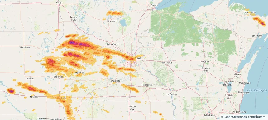
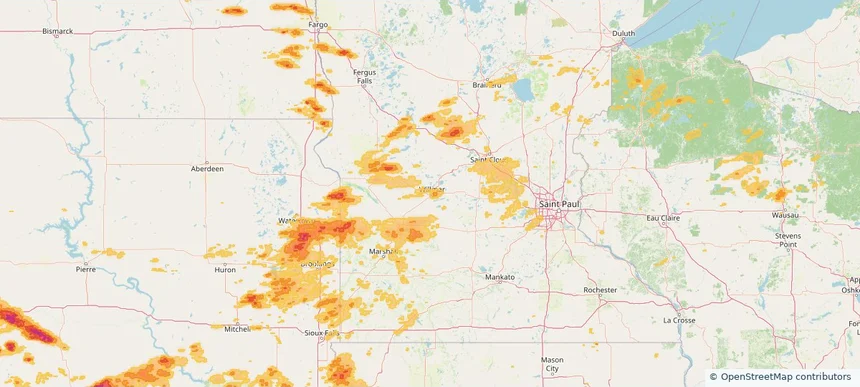
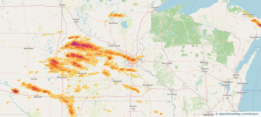
St. Paul, MN — July 27, 2025 — regional hail footprint preview
Storm footprint preview

Local hail summary for the St. Paul area: 24.52 square miles of estimated ground-hail footprint; highest mapped band 1.5+ inches. 1 official hail report(s) within the summary area. Exposure estimates are not confirmed property damage. Open the map to explore the full coverage included in your access. Statistics cover the mapped hail footprint inside the Census boundary of St. Paul, MN, not the entire region. The place had 311,527 residents in the 2020 Census. A boundary intersection does not mean the whole community was hit. Estimated housing exposure: 42,094 units in 1-inch-or-larger bands, including 8,873 in 1.5-inch-or-larger bands and 0 in 2-inch-or-larger bands.

Affected states: St. Paul area, MN
1.5+ inRadar size estimate 159,319Population Affected 68,139Houses Affected HailHazards FreeAccount signup
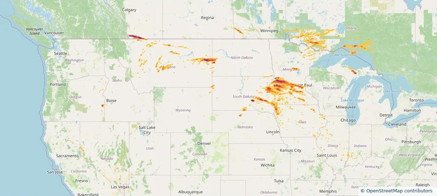
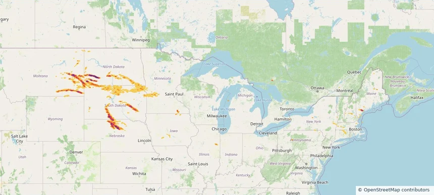
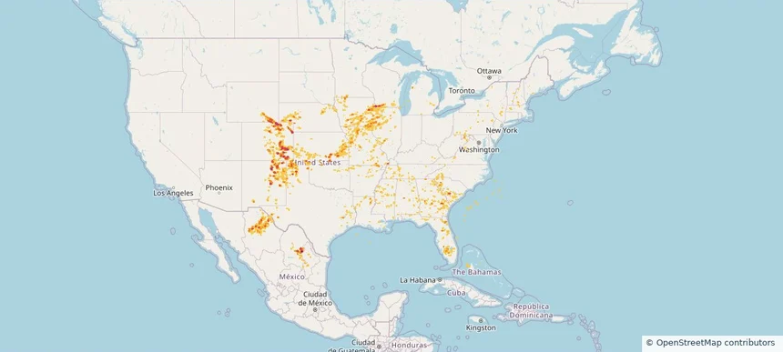
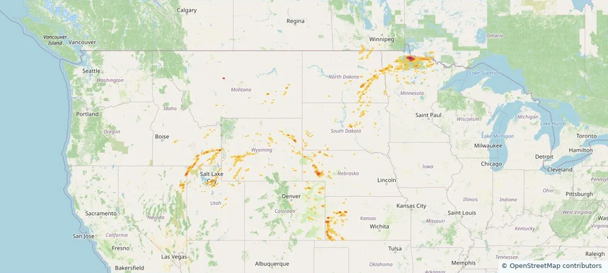
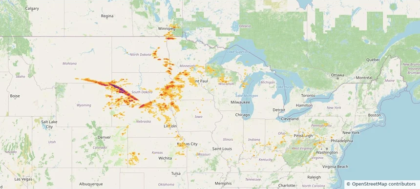
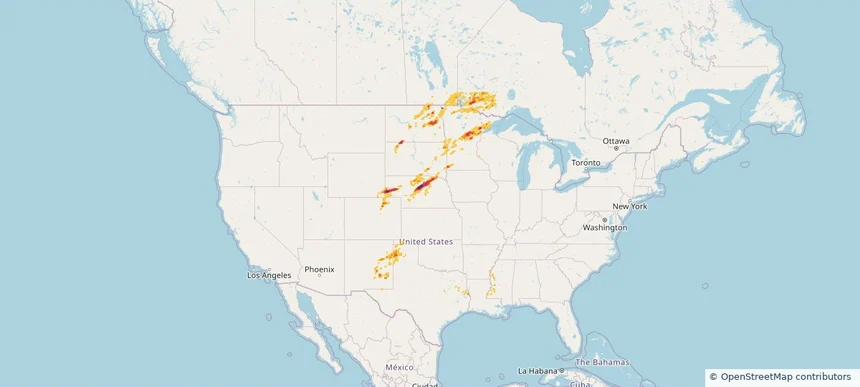
Historical Hail — 2025-07-27 — regional hail footprint preview
Storm footprint preview
Jul 27, 2025 7:00 AM to Jul 28, 2025 7:00 AM CST

Historical Hail — 2025-07-27

Hail as large as 2.75 inches was reported near (Aty)Watertown Arpt, SOUTH DAKOTA. Wind up to 100 mph was reported near Lincoln, SOUTH DAKOTA. 13 tornadoes were reported, including one near Lyon, IOWA. The storm had 17 official hail reports.

Affected states: National, CA, IL, IN, IA, KY, MI, MN, MO, MT, NE, NV, ND, OR, SD, WI, WY
3.41 inRadar size estimate 1,701,316Population Affected 740,682Houses Affected Hail · Wind · TornadoHazards FreeAccount signup
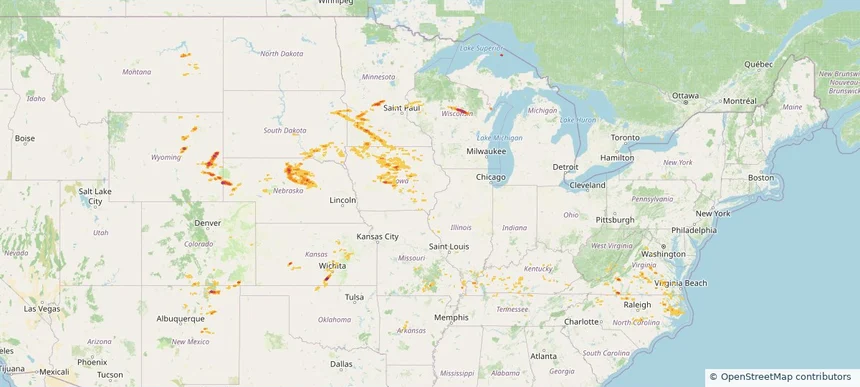
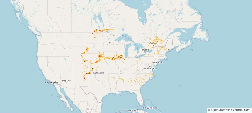
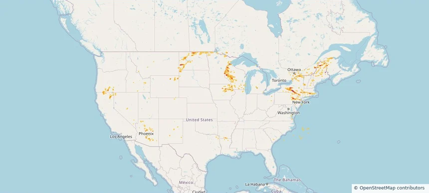
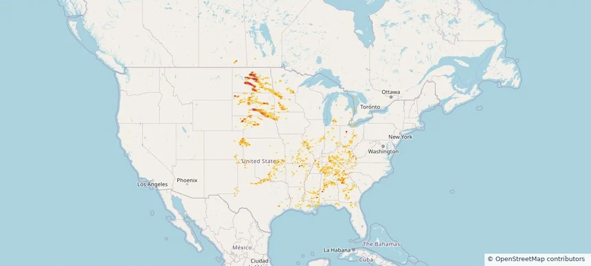
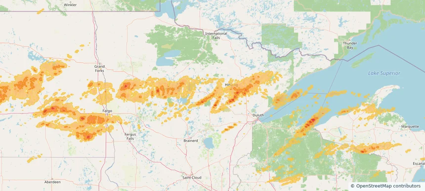
Historical Hail — 2025-07-26 — regional hail footprint preview
Storm footprint preview
Jul 26, 2025 7:00 AM to Jul 27, 2025 7:00 AM CST

Historical Hail — 2025-07-26

Hail as large as 1.75 inches was reported near Vetal, SOUTH DAKOTA. Wind up to 102 mph was reported near 9 miles east-northeast of Belvidere, SD. 5 tornadoes were reported, including one near Lyon, IOWA. The storm had 2 official hail reports.

Affected states: National, CO, MN, MT, NE, ND, SD, WY
2.79 inRadar size estimate 68,458Population Affected 33,536Houses Affected Hail · Wind · TornadoHazards FreeAccount signup
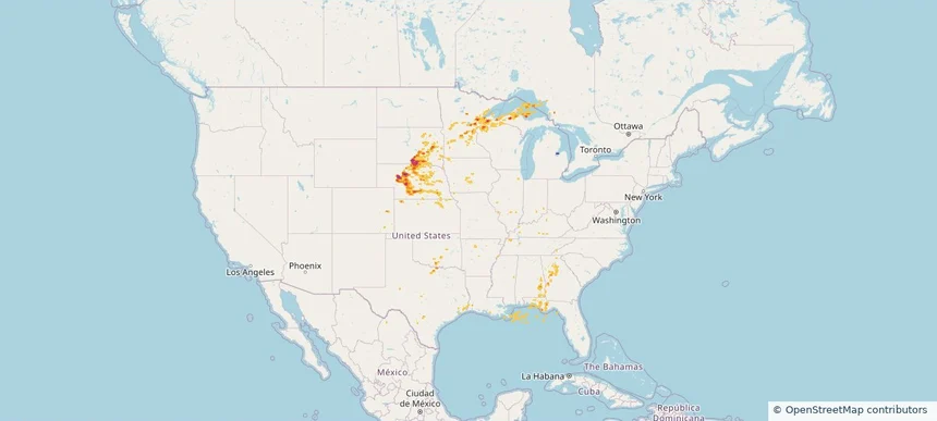
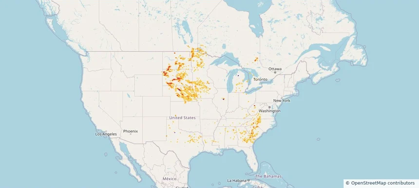
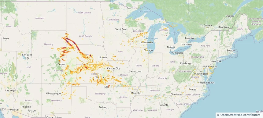
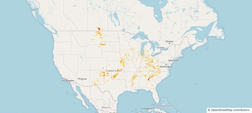
Historical Hail — 2025-07-21 — regional hail footprint preview
Storm footprint preview
Jul 21, 2025 7:00 AM to Jul 22, 2025 7:00 AM CST

Historical Hail — 2025-07-21

Hail as large as 2.00 inches was reported near Shawmut, MONTANA. Wind up to 90 mph was reported near 6 miles east-northeast of Lame Deer, MT. 3 tornadoes were reported, including one near Cherry, NEBRASKA. The storm had 10 official hail reports.

Affected states: National, CO, ID, KS, MN, MT, NE, NM, ND, OK, SD, TX, UT, WY
3.5 inRadar size estimate 119,102Population Affected 55,213Houses Affected Hail · Wind · TornadoHazards FreeAccount signup
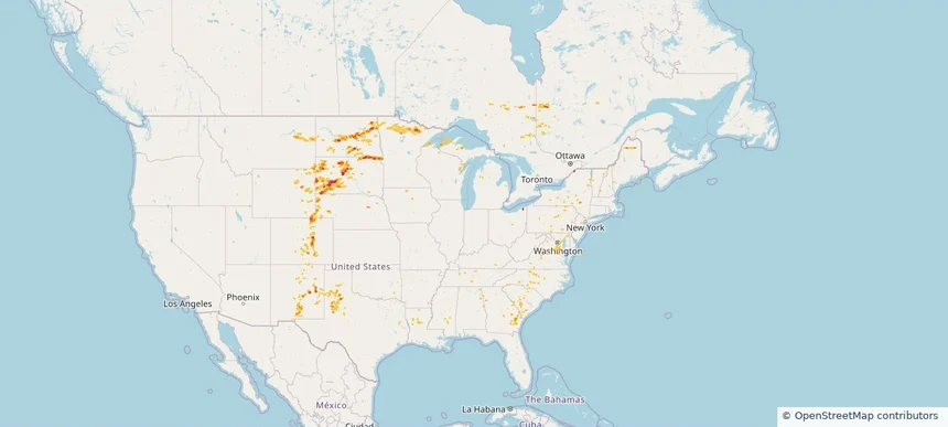
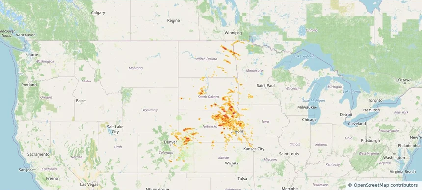
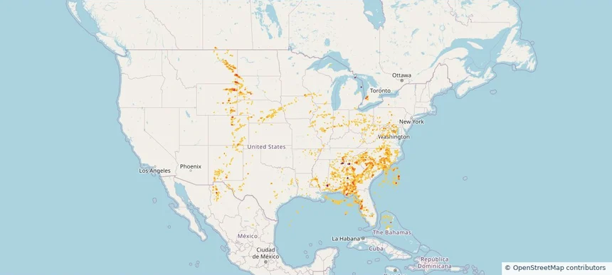
Historical Hail — 2025-07-20 — regional hail footprint preview
Storm footprint preview
Jul 20, 2025 7:00 AM to Jul 21, 2025 7:00 AM CST

Historical Hail — 2025-07-20

Hail as large as 4.50 inches was reported near Rosebud, SOUTH DAKOTA. Wind up to 105 mph was reported near Nh, NH. 10 tornadoes were reported, including one near Cherry, NEBRASKA. The storm had 17 official hail reports.

Affected states: National, CT, IL, IA, ME, MA, MN, MT, NE, NH, NY, ND, SD, VT
4.19 inRadar size estimate 178,663Population Affected 78,058Houses Affected Hail · Wind · TornadoHazards FreeAccount signup
Historical Hail — 2025-07-18 — regional hail footprint preview
Storm footprint preview
Jul 18, 2025 7:00 AM to Jul 19, 2025 7:00 AM CST

Historical Hail — 2025-07-18

Hail as large as 2.00 inches was reported near St Augusta, MINNESOTA. Wind up to 91 mph was reported near Brown, NEBRASKA. 18 tornadoes were reported, including one near Cherry, NEBRASKA. The storm had 17 official hail reports.

Affected states: National, AL, AR, CO, IL, IA, KS, KY, MN, MO, MT, NE, NM, NC, OK, SD, TN, VA, WV, WI, WY
2.5 inRadar size estimate 353,604Population Affected 161,135Houses Affected Hail · Wind · TornadoHazards FreeAccount signup
Historical Hail — 2025-07-15 — regional hail footprint preview
Storm footprint preview
Jul 15, 2025 7:00 AM to Jul 16, 2025 7:00 AM CST

Historical Hail — 2025-07-15

Hail as large as 2.00 inches was reported near Hyannis, NEBRASKA. Wind up to 89 mph was reported near 3 miles south of Corsica, SD. 10 tornadoes were reported, including one near Cherry, NEBRASKA. The storm had 9 official hail reports.

Affected states: National, AL, CO, FL, GA, IL, IA, KS, KY, LA, MI, MN, NE, OK, SD, TX, WI
3.0 inRadar size estimate 169,514Population Affected 78,969Houses Affected Hail · Wind · TornadoHazards FreeAccount signup
Historical Hail — 2025-07-14 — regional hail footprint preview
Storm footprint preview
Jul 14, 2025 7:00 AM to Jul 15, 2025 7:00 AM CST

Historical Hail — 2025-07-14

Hail as large as 2.00 inches was reported near Ellendale, NORTH DAKOTA. Wind up to 115 mph was reported near 9 miles west of Onida, SD. 14 tornadoes were reported, including one near Cherry, NEBRASKA. The storm had 6 official hail reports.

Affected states: National, CO, GA, LA, ME, MD, MI, MN, MS, MT, NE, NH, NM, NY, NC, ND, OH, PA, SC, SD, TN, TX, VT, VA, WI, WY
3.0 inRadar size estimate 158,069Population Affected 72,681Houses Affected Hail · Wind · TornadoHazards FreeAccount signup
Historical Hail — 2025-07-11 — regional hail footprint preview
Storm footprint preview
Jul 11, 2025 7:00 AM to Jul 12, 2025 7:00 AM CST

Historical Hail — 2025-07-11

Hail as large as 2.00 inches was reported near Grover, COLORADO. Wind up to 98 mph was reported near 1 mile south-southwest of Cascade, IA. 40 tornadoes were reported, including one near Jones, IOWA. The storm had 23 official hail reports.

Affected states: National, AL, AR, CO, FL, GA, IL, IA, KS, LA, MD, MA, MI, MN, MS, MO, NE, NH, NM, NY, NC, OK, PA, SC, TN, TX, VT, VA, WV, WI, WY
3.0 inRadar size estimate 961,330Population Affected 415,893Houses Affected Hail · Wind · TornadoHazards FreeAccount signup
Historical Hail — 2025-07-10 — regional hail footprint preview
Storm footprint preview
Jul 10, 2025 7:00 AM to Jul 11, 2025 7:00 AM CST

Historical Hail — 2025-07-10

Hail as large as 2.50 inches was reported near Maxbass, NORTH DAKOTA. Wind up to 98 mph was reported near Ne, NE. 14 tornadoes were reported, including one near Jones, IOWA. The storm had 16 official hail reports.

Affected states: National, CO, GA, IL, IA, KS, ME, MN, MS, NE, NH, NM, NY, NC, ND, OH, OK, SC, SD, TX, VT, WI, WY
3.0 inRadar size estimate 963,720Population Affected 426,595Houses Affected Hail · Wind · TornadoHazards FreeAccount signup
Historical Hail — 2025-07-09 — regional hail footprint preview
Storm footprint preview
Jul 9, 2025 7:00 AM to Jul 10, 2025 7:00 AM CST

Historical Hail — 2025-07-09

Hail as large as 2.50 inches was reported near Lyman, SOUTH DAKOTA. Wind up to 93 mph was reported near 4 miles east-southeast of Akaska, SD. 11 tornadoes were reported, including one near Jones, IOWA. The storm had 9 official hail reports.

Affected states: National, AL, AR, CO, GA, IL, IA, KS, KY, LA, MI, MN, MS, MT, NE, NC, ND, OH, SC, SD, TN, TX, VA, WV, WY
5.91 inRadar size estimate 793,111Population Affected 336,657Houses Affected Hail · Wind · TornadoHazards FreeAccount signup
Historical Hail — 2025-07-07 — regional hail footprint preview
Storm footprint preview
Jul 7, 2025 7:00 AM to Jul 8, 2025 7:00 AM CST

Historical Hail — 2025-07-07

Hail as large as 3.50 inches was reported near Lankin, NORTH DAKOTA. Wind up to 120 mph was reported near Co, CO. 26 tornadoes were reported, including one near Towner, NORTH DAKOTA. The storm had 15 official hail reports.

Affected states: National, CO, IA, KS, MN, MO, NE, ND, SD, WY
2.44 inRadar size estimate 165,123Population Affected 70,790Houses Affected Hail · Wind · TornadoHazards FreeAccount signup
Historical Hail — 2025-07-04 — regional hail footprint preview
Storm footprint preview
Jul 4, 2025 7:00 AM to Jul 5, 2025 7:00 AM CST

Historical Hail — 2025-07-04

Hail as large as 1.00 inches was reported near (Aff)Usaf Acdmy Colo, COLORADO. Wind up to 93 mph was reported near Aberdeen Regional Airpo, SD. 4 tornadoes were reported, including one near Cheyenne, NEBRASKA. The storm had 2 official hail reports.

Affected states: National, CO, ID, KS, MN, MT, NE, NV, ND, OK, SD, UT, WY
2.86 inRadar size estimate 95,354Population Affected 36,720Houses Affected Hail · Wind · TornadoHazards FreeAccount signup
Historical Hail — 2025-07-03 — regional hail footprint preview
Storm footprint preview
Jul 3, 2025 7:00 AM to Jul 4, 2025 7:00 AM CST

Historical Hail — 2025-07-03

Hail as large as 1.75 inches was reported near (Bgm)Binghamton Arpt, NEW YORK. Wind up to 107 mph was reported near 3 miles southeast of Parshall, ND. 4 tornadoes were reported, including one near Bolivar, MISSISSIPPI. The storm had 17 official hail reports.

Affected states: National, AZ, AR, CA, CO, CT, ID, IA, LA, ME, MA, MI, MN, MS, MT, NV, NH, NJ, NM, NY, ND, OR, PA, RI, SD, UT, VT, VA, WI, WY
3.0 inRadar size estimate 826,420Population Affected 365,710Houses Affected Hail · Wind · TornadoHazards FreeAccount signup
Historical Hail — 2025-06-29 — regional hail footprint preview
Storm footprint preview
Jun 29, 2025 7:00 AM to Jun 30, 2025 7:00 AM CST

Historical Hail — 2025-06-29

Hail as large as 2.30 inches was reported near Janise, NEBRASKA. Wind up to 94 mph was reported near 2 miles east-northeast of Butler, WI. 9 tornadoes were reported, including one near Deuel, SOUTH DAKOTA. The storm had 25 official hail reports.

Affected states: National, AL, AR, CO, DE, GA, IL, IA, KS, MD, MI, MN, MO, NE, NJ, NM, NC, OK, SD, TN, TX, VA, WV, WI, WY
3.45 inRadar size estimate 486,362Population Affected 213,793Houses Affected Hail · Wind · TornadoHazards FreeAccount signup
Willmar, MN — June 28, 2025 — regional hail footprint preview
Storm footprint preview

Local hail summary for the Willmar area: 3.95 square miles of estimated ground-hail footprint; highest mapped band 1+ inches. 0 official hail report(s) within the summary area. Exposure estimates are not confirmed property damage. Open the map to explore the full coverage included in your access. Statistics cover the mapped hail footprint inside the Census boundary of Willmar, MN, not the entire region. The place had 21,015 residents in the 2020 Census. A boundary intersection does not mean the whole community was hit. Estimated housing exposure: 106 units in 1-inch-or-larger bands, including 0 in 1.5-inch-or-larger bands and 0 in 2-inch-or-larger bands.

Affected states: Willmar area, MN
1+ inRadar size estimate 6,124Population Affected 2,531Houses Affected HailHazards FreeAccount signup
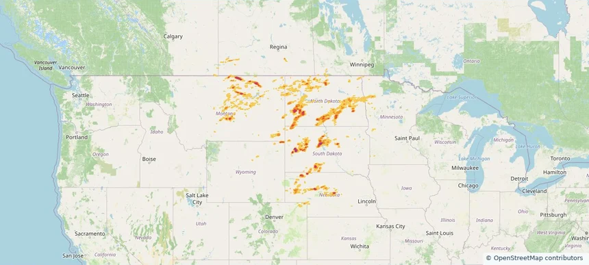
Historical Hail — 2025-06-28 — regional hail footprint preview
Storm footprint preview
Jun 28, 2025 7:00 AM to Jun 29, 2025 7:00 AM CST

Historical Hail — 2025-06-28

Hail as large as 4.50 inches was reported near Cactus Flats, SOUTH DAKOTA. Wind up to 104 mph was reported near 17 miles north-northwest of New Haven, WY. 46 tornadoes were reported, including one near Deuel, SOUTH DAKOTA. The storm had 30 official hail reports.

Affected states: National, CO, IN, IA, KS, KY, MD, MI, MN, MO, MT, NE, NY, ND, OH, PA, SD, VA, WV, WI, WY
5.14 inRadar size estimate 657,211Population Affected 281,428Houses Affected Hail · Wind · TornadoHazards FreeAccount signup
Historical Hail — 2025-06-27 — regional hail footprint preview
Storm footprint preview
Jun 27, 2025 7:00 AM to Jun 28, 2025 7:00 AM CST

Historical Hail — 2025-06-27

Hail as large as 2.50 inches was reported near Garrison, NORTH DAKOTA. Wind up to 99 mph was reported near 8 miles east of Corsica, SD. 36 tornadoes were reported, including one near Deuel, SOUTH DAKOTA. The storm had 17 official hail reports.

Affected states: National, AL, AR, CO, FL, GA, IL, IN, IA, KS, KY, LA, MI, MN, MS, MO, NE, NM, NC, ND, OH, OK, SD, TN, TX, VA, WV
3.0 inRadar size estimate 924,371Population Affected 379,614Houses Affected Hail · Wind · TornadoHazards FreeAccount signup
Historical Hail — 2025-06-26 — regional hail footprint preview
Storm footprint preview
Jun 26, 2025 7:00 AM to Jun 27, 2025 7:00 AM CST

Historical Hail — 2025-06-26

Hail as large as 1.00 inches was reported near Cliff, KENTUCKY. Wind up to 87 mph was reported near Wichita, KANSAS. 31 tornadoes were reported, including one near Deuel, SOUTH DAKOTA. The storm had 3 official hail reports.

Affected states: National, AL, AR, CO, GA, IL, IN, IA, KS, KY, LA, MI, MN, MS, MO, MT, NE, NM, NC, ND, OH, OK, PA, SC, SD, TN, TX, VA, WV, WI, WY
2.4 inRadar size estimate 1,147,892Population Affected 496,143Houses Affected Hail · Wind · TornadoHazards FreeAccount signup
Historical Hail — 2025-06-25 — regional hail footprint preview
Storm footprint preview
Jun 25, 2025 7:00 AM to Jun 26, 2025 7:00 AM CST

Historical Hail — 2025-06-25

Hail as large as 1.75 inches was reported near Pisgah, ALABAMA. Wind up to 83 mph was reported near 4 miles east-southeast of Riverdale, NE. 58 tornadoes were reported, including one near Wabasha, MINNESOTA. The storm had 14 official hail reports.

Affected states: National, AL, AR, CO, DC, FL, GA, IL, IN, IA, KS, KY, LA, MD, MI, MN, MS, MO, MT, NE, NM, NC, ND, OH, PA, SC, SD, TN, TX, VA, WV, WI, WY
5.91 inRadar size estimate 3,218,214Population Affected 1,411,943Houses Affected Hail · Wind · TornadoHazards FreeAccount signup
Historical Hail — 2025-06-22 — regional hail footprint preview
Storm footprint preview
Jun 22, 2025 7:00 AM to Jun 23, 2025 7:00 AM CST

Historical Hail — 2025-06-22

Hail as large as 2.00 inches was reported near Almeria, NEBRASKA. Wind up to 86 mph was reported near Cass, NORTH DAKOTA. 6 tornadoes were reported, including one near Beltrami, MINNESOTA. The storm had 4 official hail reports.

Affected states: National, CO, LA, MN, MS, NE, NM, ND, OK, SD, TX, WI, WY
3.5 inRadar size estimate 114,801Population Affected 63,428Houses Affected Hail · Wind · TornadoHazards FreeAccount signup
Grand Rapids, MN — June 20, 2025 — regional hail footprint preview
Storm footprint preview

Local hail summary for the Grand Rapids area: 13.00 square miles of estimated ground-hail footprint; highest mapped band 1+ inches. 0 official hail report(s) within the summary area. Exposure estimates are not confirmed property damage. Open the map to explore the full coverage included in your access. Statistics cover the mapped hail footprint inside the Census boundary of Grand Rapids, MN, not the entire region. The place had 11,126 residents in the 2020 Census. A boundary intersection does not mean the whole community was hit. Estimated housing exposure: 218 units in 1-inch-or-larger bands, including 0 in 1.5-inch-or-larger bands and 0 in 2-inch-or-larger bands.

Affected states: Grand Rapids area, MN
1+ inRadar size estimate 5,516Population Affected 2,583Houses Affected HailHazards FreeAccount signup
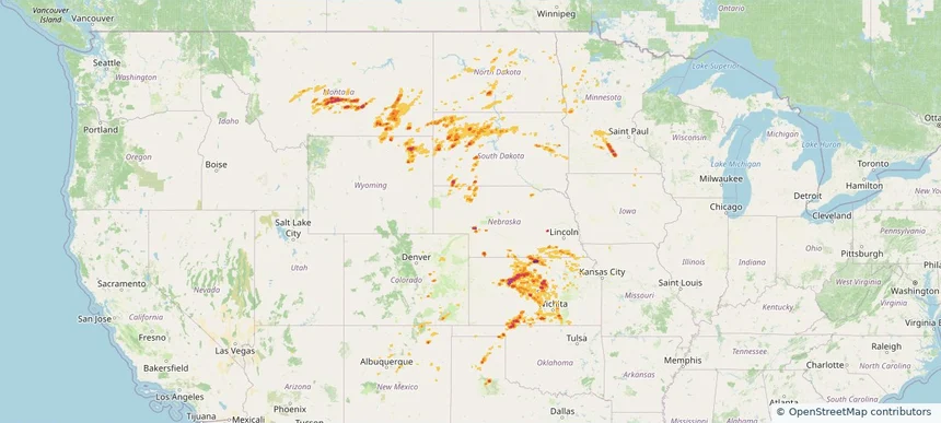
Page 9 of 10
‹ 1 8 9 10 ›

Frequently asked questions

Can I search hail maps by coverage area?

Yes. The storm library supports coverage-area filtering so you can find hail maps and hail swaths in a target service area.

What kinds of storms appear in the HailMapr library?

The library focuses on published hail events, including ready storm maps and live storms once hail has been detected and a public swath is available.

Are HailMapr storm pages useful for roofers and adjusters?

Yes. They are built to help roofers, adjusters, restoration teams, and property owners review storm footprints before purchase.