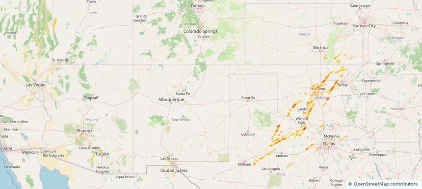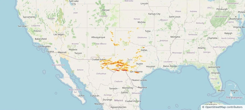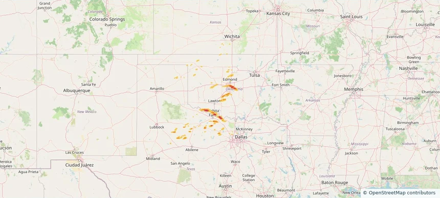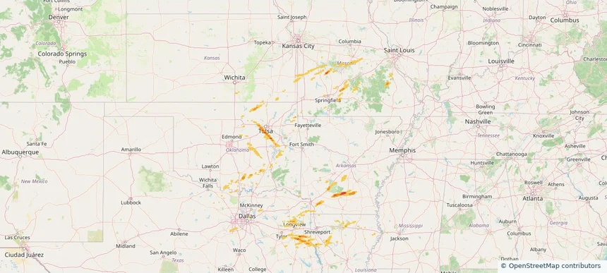
Historical Hail — 2026-03-01
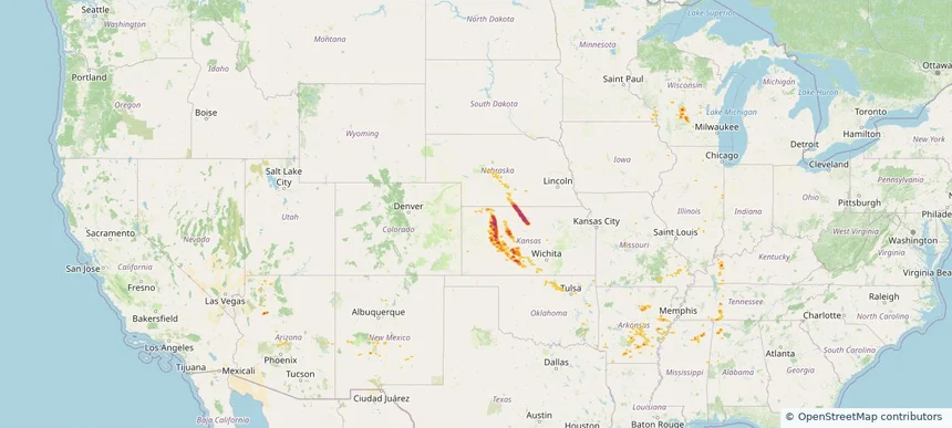
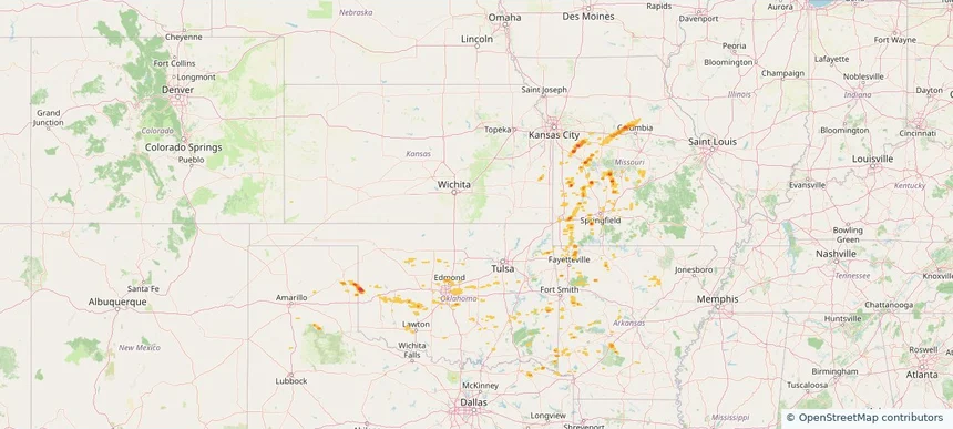
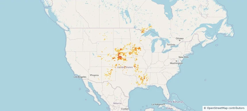
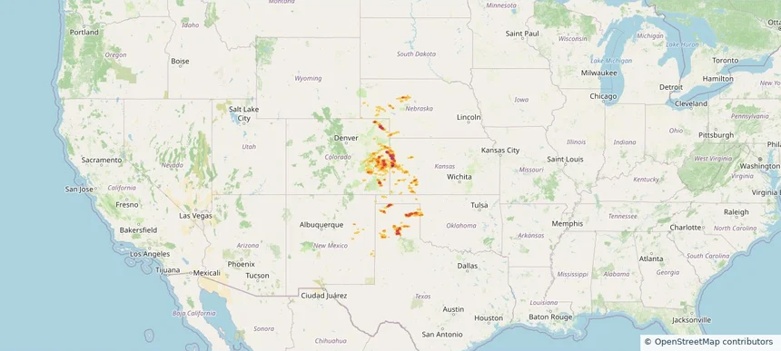
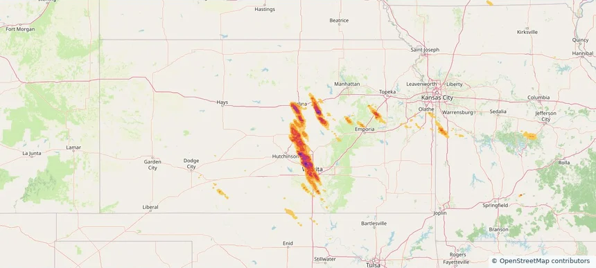
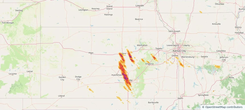
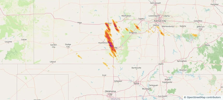
Hail as large as 1.50 inches was reported near Marion, KANSAS. The storm had 3 official hail reports.
Review storm footprints, hail swaths, reports, and replay access. Create a free account to save your setup and move into map access when a storm matters.

Hail as large as 1.50 inches was reported near Marion, KANSAS. The storm had 3 official hail reports.

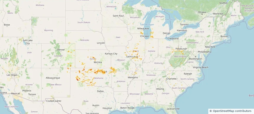
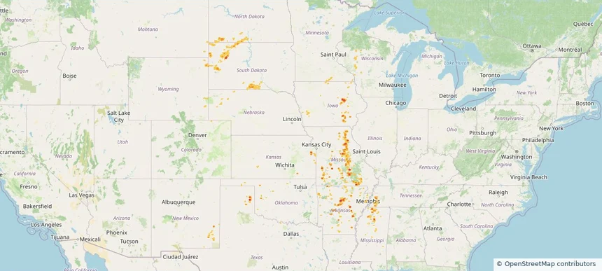
Hail as large as 1.00 inches was reported near Helena, ARIZONA. Wind up to 71 mph was reported near 4 miles northeast of Geronimo, OK. 3 tornadoes were reported, including one near Maricopa, ARIZONA. The storm had 3 official hail reports.

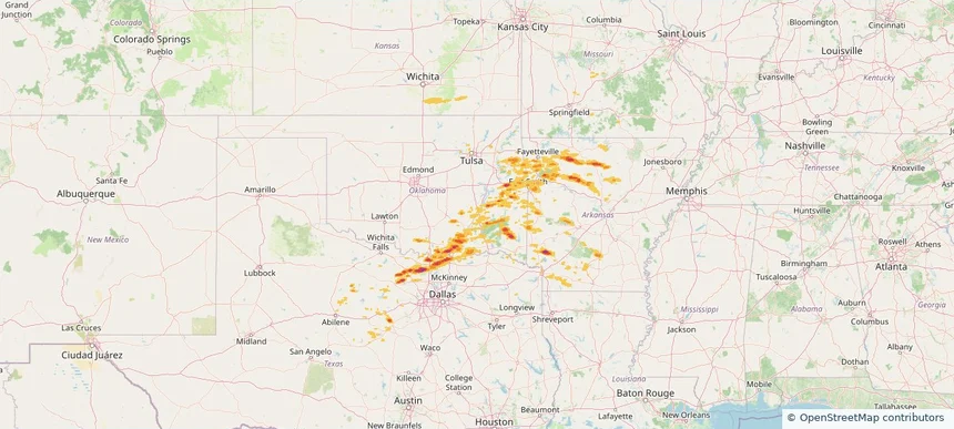
Hail as large as 1.75 inches was reported near Ft Stockton, TEXAS. Wind up to 100 mph was reported near Tx, TX. 9 tornadoes were reported, including one near Kendall, TEXAS. The storm had 9 official hail reports.

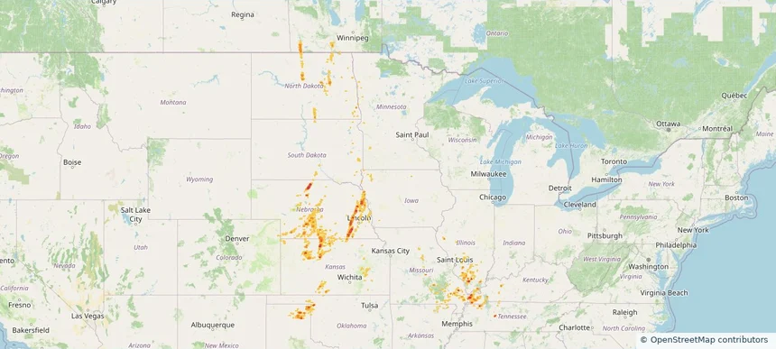
Hail as large as 3.00 inches was reported near Choctaw, OKLAHOMA. Wind up to 70 mph was reported near Tarrant, TEXAS. The storm had 11 official hail reports.

Hail as large as 1.75 inches was reported near Checotah, OKLAHOMA. Wind up to 75 mph was reported near Ok, OK. 12 tornadoes were reported, including one near Hot Spring, ARKANSAS. The storm had 4 official hail reports.

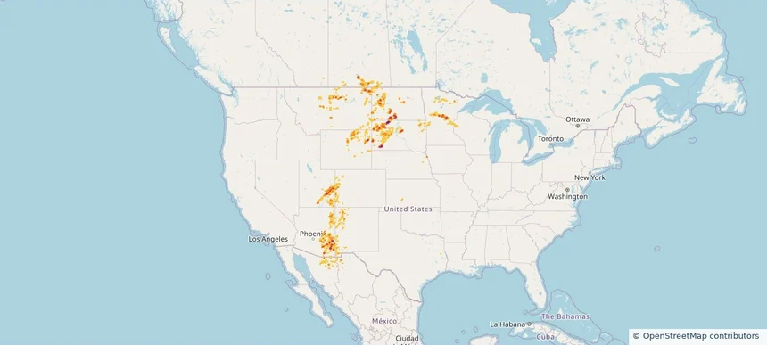
Hail as large as 1.75 inches was reported near Thackerville, OKLAHOMA. Wind up to 93 mph was reported near Ar, AR. A tornado was reported near Bossier, LOUISIANA. The storm had 9 official hail reports.

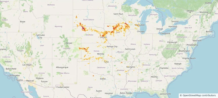
Hail as large as 2.00 inches was reported near Sutherland, IOWA. Wind up to 82 mph was reported near 1 mile south-southwest of Gage, OK. 4 tornadoes were reported, including one near Crawford, WISCONSIN. The storm had 15 official hail reports.

Hail as large as 1.75 inches was reported near Turley, OKLAHOMA. Wind up to 97 mph was reported near 4 miles east of Waukomis, OK. 5 tornadoes were reported, including one near Crawford, WISCONSIN. The storm had 6 official hail reports.

Hail as large as 1.75 inches was reported near Jennings, KANSAS. Wind up to 91 mph was reported near 7 miles north-northeast of Tasco, KS. A tornado was reported near Mason, ILLINOIS. The storm had 2 official hail reports.

Hail as large as 1.50 inches was reported near Dempsey, OKLAHOMA. Wind up to 83 mph was reported near 2 miles southwest of Iconium, MO. The storm had 1 official hail report.

Hail as large as 1.75 inches was reported near Selman, OKLAHOMA. Wind up to 85 mph was reported near Tx, TX. A tornado was reported near Kit Carson, COLORADO. The storm had 4 official hail reports.

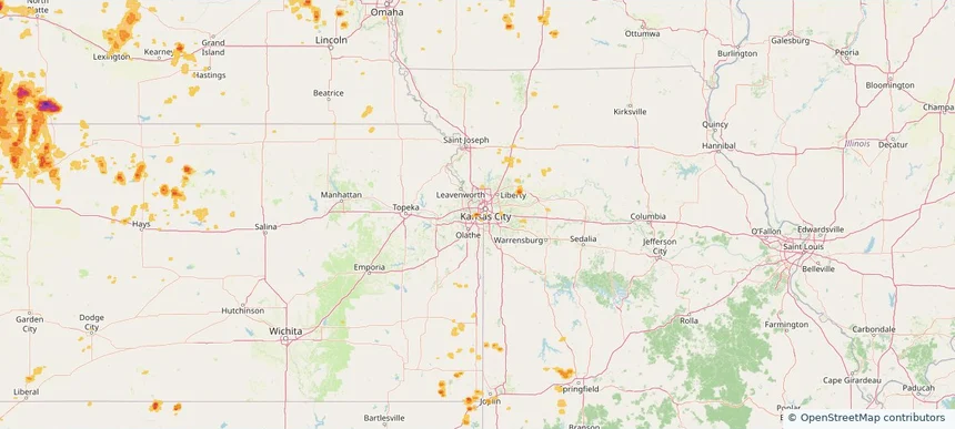
Local hail summary for the Merriam area: 1.58 square miles of estimated ground-hail footprint; highest mapped band 1.5+ inches. 0 official hail report(s) within the summary area. Exposure estimates are not confirmed property damage. Open the map to explore the full coverage included in your access. Statistics cover the mapped hail footprint inside the Census boundary of Merriam, KS, not the entire region. The place had 11,098 residents in the 2020 Census. A boundary intersection does not mean the whole community was hit. Estimated housing exposure: 1,496 units in 1-inch-or-larger bands, including 560 in 1.5-inch-or-larger bands and 0 in 2-inch-or-larger bands.

Local hail summary for the Shawnee area: 1.51 square miles of estimated ground-hail footprint; highest mapped band 1.5+ inches. 2 official hail report(s) within the summary area. Exposure estimates are not confirmed property damage. Open the map to explore the full coverage included in your access. Statistics cover the mapped hail footprint inside the Census boundary of Shawnee, KS, not the entire region. The place had 67,311 residents in the 2020 Census. A boundary intersection does not mean the whole community was hit. Estimated housing exposure: 1,939 units in 1-inch-or-larger bands, including 371 in 1.5-inch-or-larger bands and 0 in 2-inch-or-larger bands.

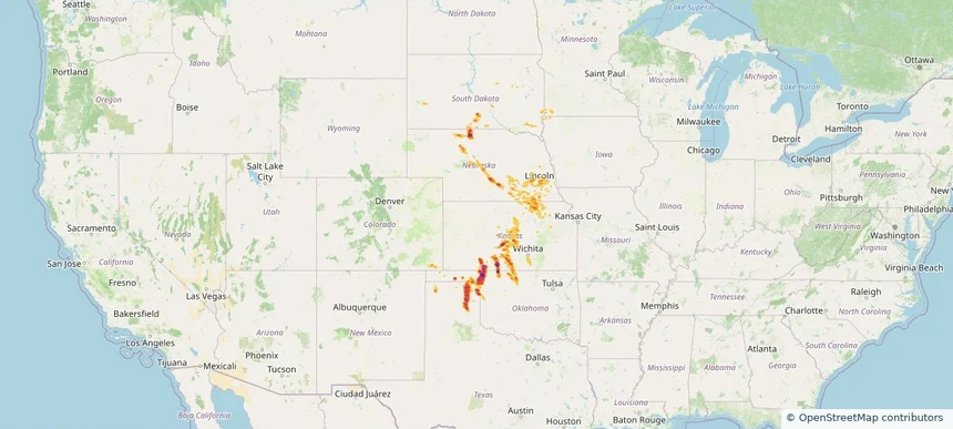
Hail as large as 3.00 inches was reported near Mc Cook, NEBRASKA. Wind up to 93 mph was reported near 6 miles east of Storrie Lake State, NM. 8 tornadoes were reported, including one near Mckenzie, NORTH DAKOTA. The storm had 27 official hail reports.

Hail as large as 1.25 inches was reported near La Porte City Arpt, IOWA. Wind up to 82 mph was reported near 2 miles east-northeast of Osage, WY. 6 tornadoes were reported, including one near Burleigh, NORTH DAKOTA. The storm had 3 official hail reports.

Hail as large as 1.25 inches was reported near Lyons, NEBRASKA. Wind up to 90 mph was reported near 8 miles west of Lipscomb, TX. 56 tornadoes were reported, including one near Burleigh, NORTH DAKOTA. The storm had 7 official hail reports.

Hail as large as 1.50 inches was reported near (Brd)Weiland Fld Bra, MINNESOTA. Wind up to 83 mph was reported near 8 miles east-northeast of Road Forks, NM. 17 tornadoes were reported, including one near San Juan, UTAH. The storm had 12 official hail reports.

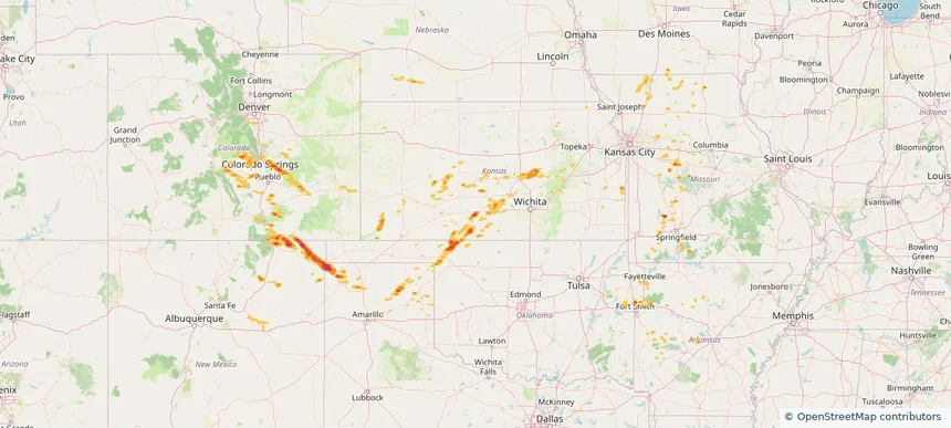
Hail as large as 2.50 inches was reported near Sharon Spgs Arpt, KANSAS. Wind up to 86 mph was reported near 12 miles north-northwest of Ruleton, KS. 5 tornadoes were reported, including one near Harper, OKLAHOMA. The storm had 4 official hail reports.

Hail as large as 3.50 inches was reported near Perryton, TEXAS. Wind up to 75 mph was reported near 14 miles north-northeast of Brownlee, NE. 7 tornadoes were reported, including one near Harper, OKLAHOMA. The storm had 15 official hail reports.

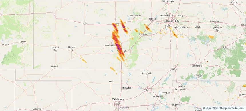
Local hail summary for the Derby area: 1.91 square miles of estimated ground-hail footprint; highest mapped band 1+ inches. 0 official hail report(s) within the summary area. Exposure estimates are not confirmed property damage. Open the map to explore the full coverage included in your access. Statistics cover the mapped hail footprint inside the Census boundary of Derby, KS, not the entire region. The place had 25,625 residents in the 2020 Census. A boundary intersection does not mean the whole community was hit. Estimated housing exposure: 1,398 units in 1-inch-or-larger bands, including 0 in 1.5-inch-or-larger bands and 0 in 2-inch-or-larger bands.

Local hail summary for the Haysville area: 4.66 square miles of estimated ground-hail footprint; highest mapped band 1+ inches. 0 official hail report(s) within the summary area. Exposure estimates are not confirmed property damage. Open the map to explore the full coverage included in your access. Statistics cover the mapped hail footprint inside the Census boundary of Haysville, KS, not the entire region. The place had 11,262 residents in the 2020 Census. A boundary intersection does not mean the whole community was hit. Estimated housing exposure: 4,216 units in 1-inch-or-larger bands, including 0 in 1.5-inch-or-larger bands and 0 in 2-inch-or-larger bands.

Local hail summary for the McPherson area: 7.49 square miles of estimated ground-hail footprint; highest mapped band 1.5+ inches. 2 official hail report(s) within the summary area. Exposure estimates are not confirmed property damage. Open the map to explore the full coverage included in your access. Statistics cover the mapped hail footprint inside the Census boundary of McPherson, KS, not the entire region. The place had 14,082 residents in the 2020 Census. A boundary intersection does not mean the whole community was hit. Estimated housing exposure: 6,128 units in 1-inch-or-larger bands, including 5,749 in 1.5-inch-or-larger bands and 0 in 2-inch-or-larger bands.

Local hail summary for the Salina area: 11.38 square miles of estimated ground-hail footprint; highest mapped band 2+ inches. 0 official hail report(s) within the summary area. Exposure estimates are not confirmed property damage. Open the map to explore the full coverage included in your access. Statistics cover the mapped hail footprint inside the Census boundary of Salina, KS, not the entire region. The place had 46,889 residents in the 2020 Census. A boundary intersection does not mean the whole community was hit. Estimated housing exposure: 714 units in 1-inch-or-larger bands, including 0 in 1.5-inch-or-larger bands and 0 in 2-inch-or-larger bands.

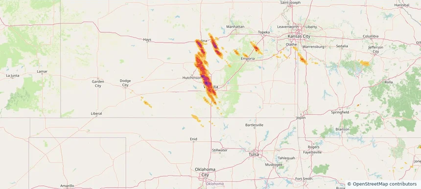
Local hail summary for the Wichita area: 118.43 square miles of estimated ground-hail footprint; highest mapped band 2+ inches. 2 official hail report(s) within the summary area. Exposure estimates are not confirmed property damage. Open the map to explore the full coverage included in your access. Statistics cover the mapped hail footprint inside the Census boundary of Wichita, KS, not the entire region. The place had 397,532 residents in the 2020 Census. A boundary intersection does not mean the whole community was hit. Estimated housing exposure: 125,247 units in 1-inch-or-larger bands, including 53,998 in 1.5-inch-or-larger bands and 1,986 in 2-inch-or-larger bands.
Yes. The storm library supports coverage-area filtering so you can find hail maps and hail swaths in a target service area.
The library focuses on published hail events, including ready storm maps and live storms once hail has been detected and a public swath is available.
Yes. They are built to help roofers, adjusters, restoration teams, and property owners review storm footprints before purchase.