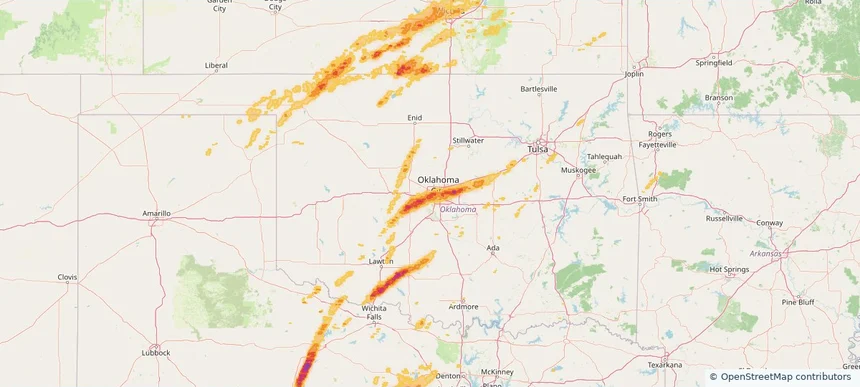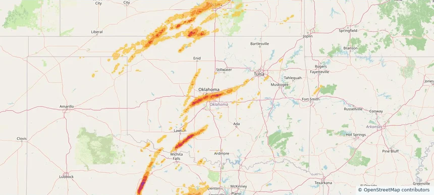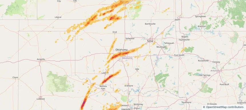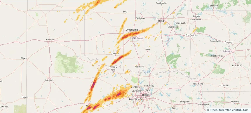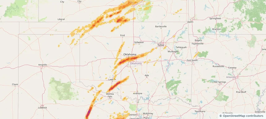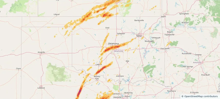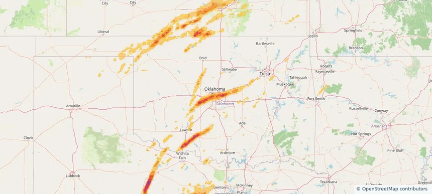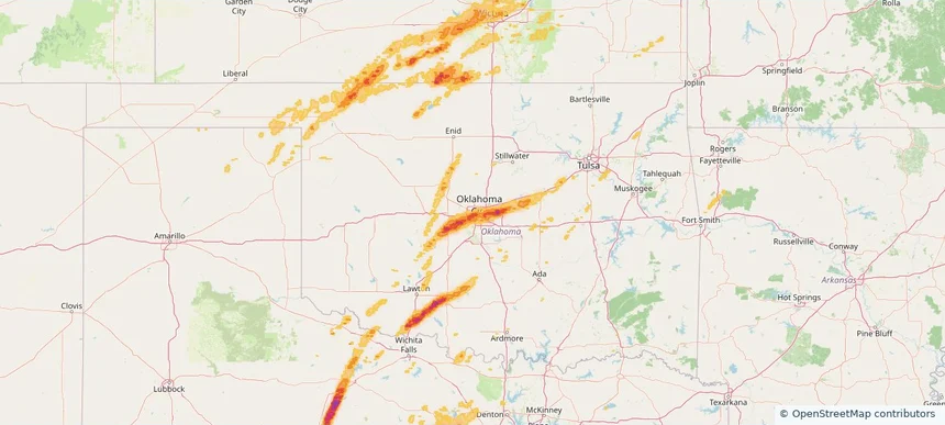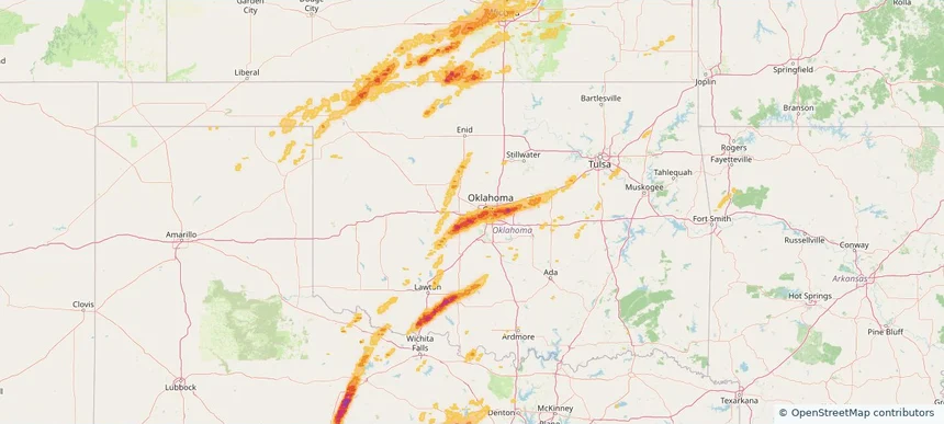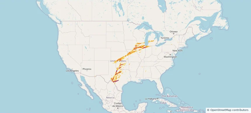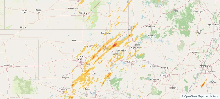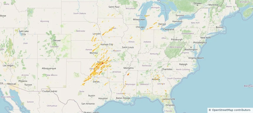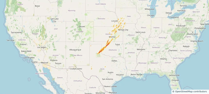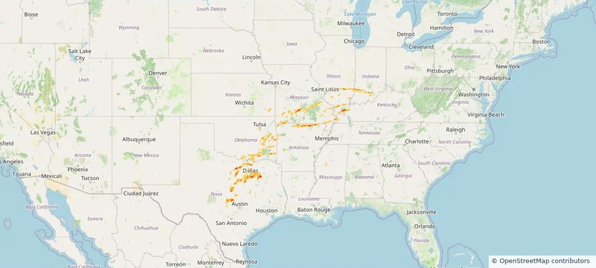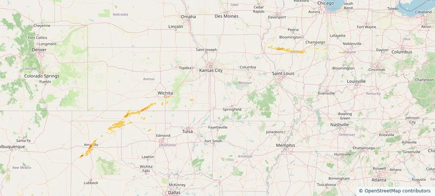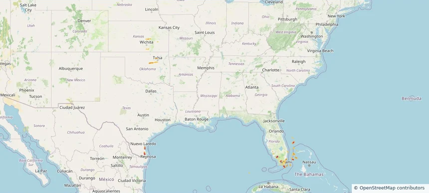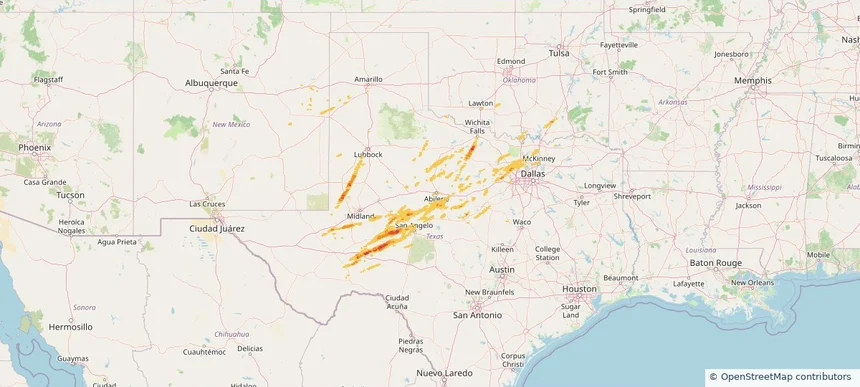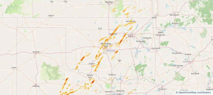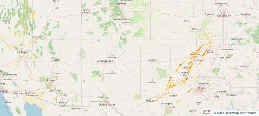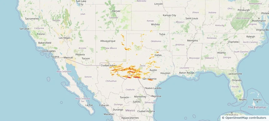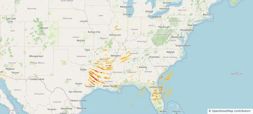
Storm footprint preview
Mar 15, 2026 7:00 AM to Mar 16, 2026 7:00 AM CST
Historical Hail — 2026-03-15
Hail as large as 2.00 inches was reported near Rohwer, ARKANSAS. Wind up to 104 mph was reported near 3 miles west-northwest of Whistler, MS. 67 tornadoes were reported, including one near 4 miles north-northeast of Cabool, MO. The storm had 22 official hail reports.
Affected states:
National, AL, AR, FL, GA, IL, IN, KY, LA, MI, MS, MO, NC, OH, OK, SC, TN, TX, VA, WV
2.46 inRadar size estimate
988,812Population Affected
434,106Houses Affected
Hail · Wind · TornadoHazards
FreeAccount signup