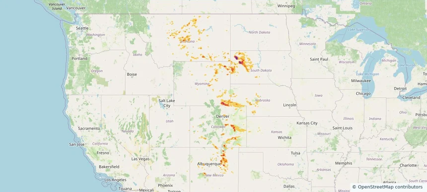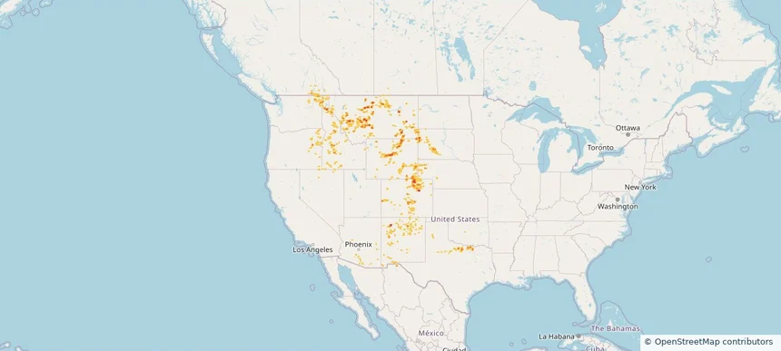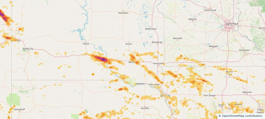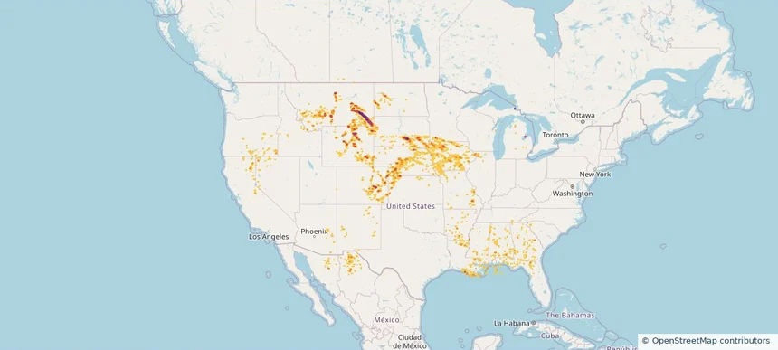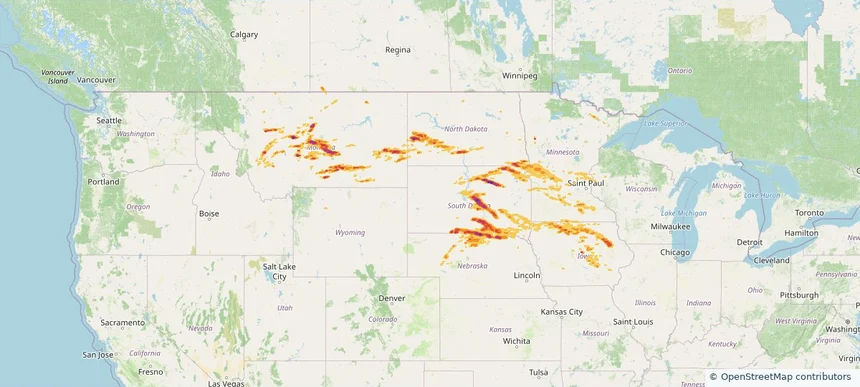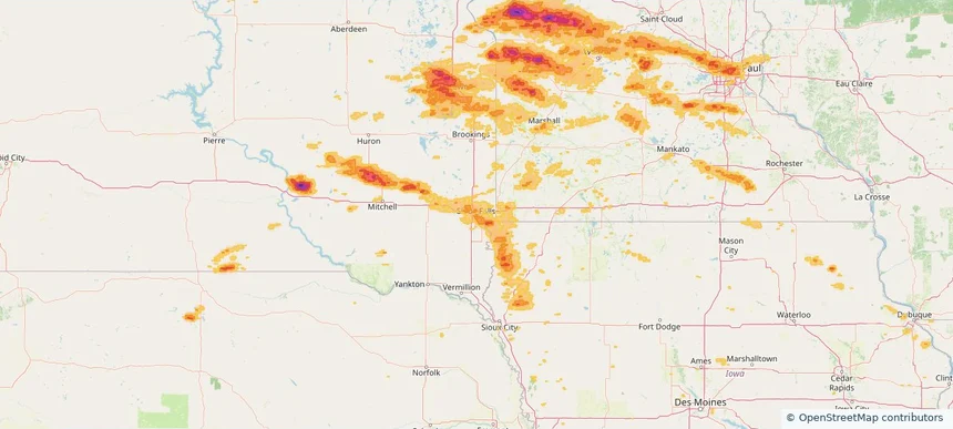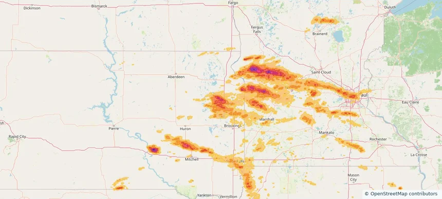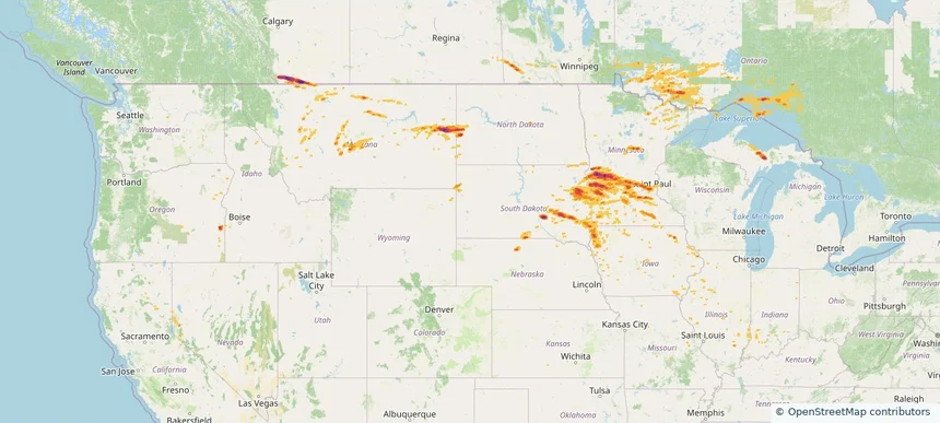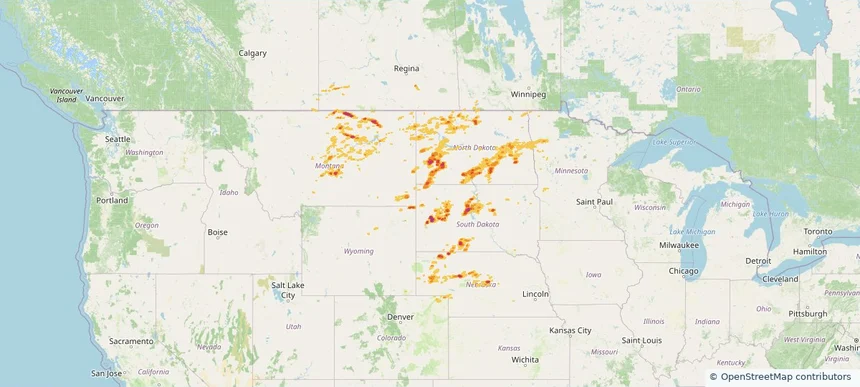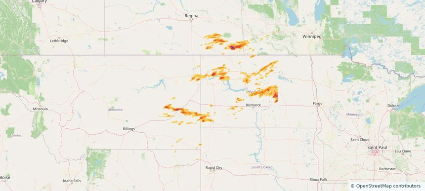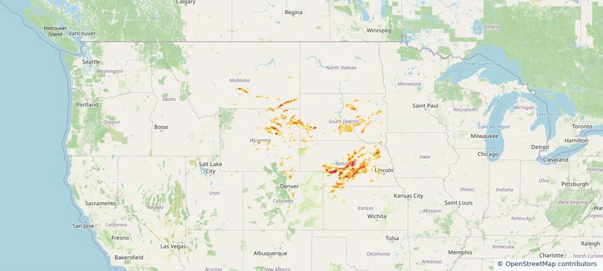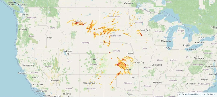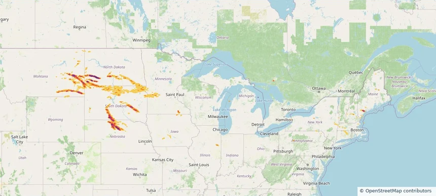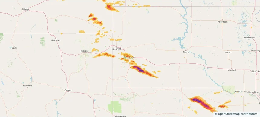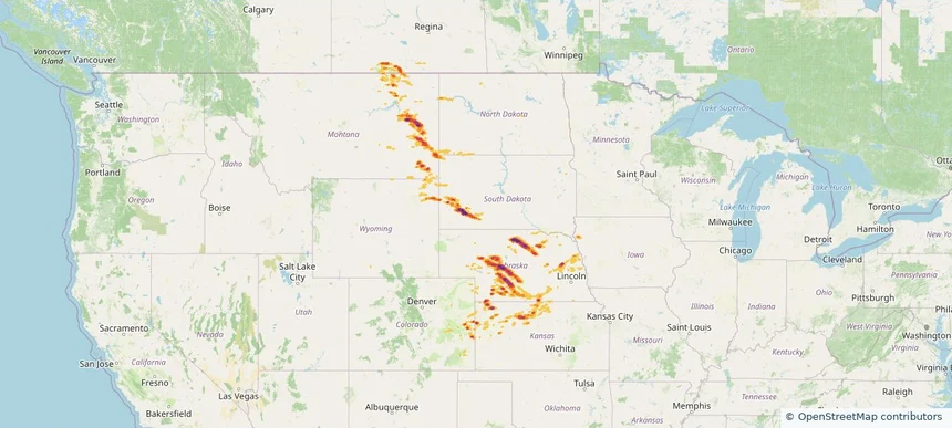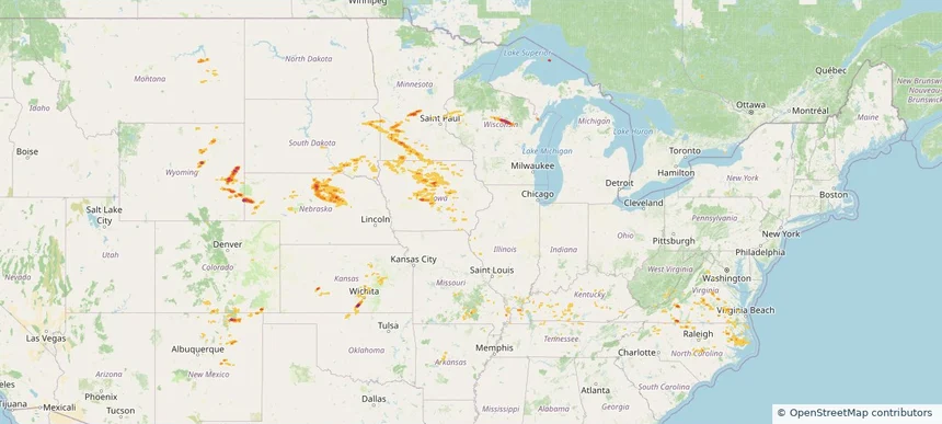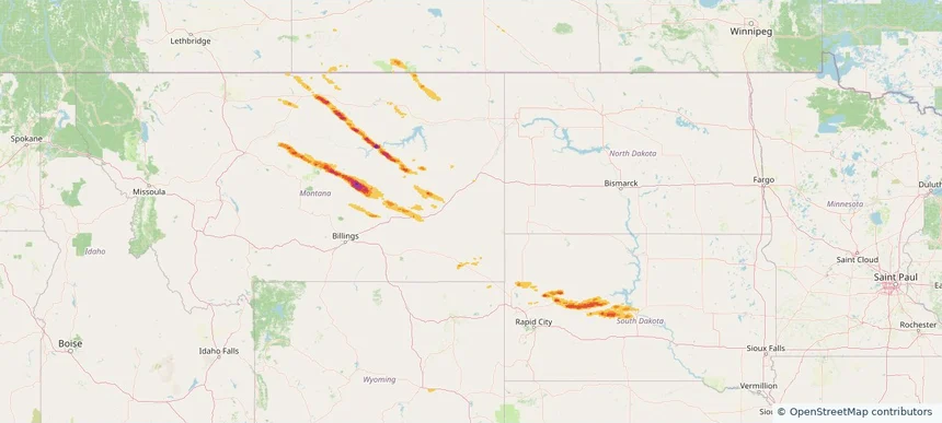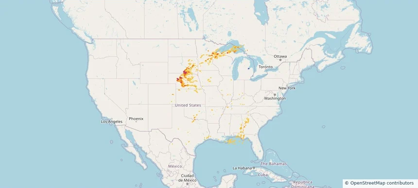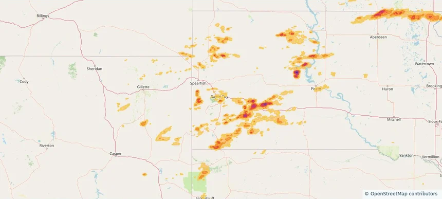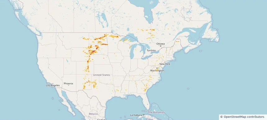
Storm footprint preview
Aug 3, 2025 7:00 AM to Aug 4, 2025 7:00 AM CST
Historical Hail — 2025-08-03
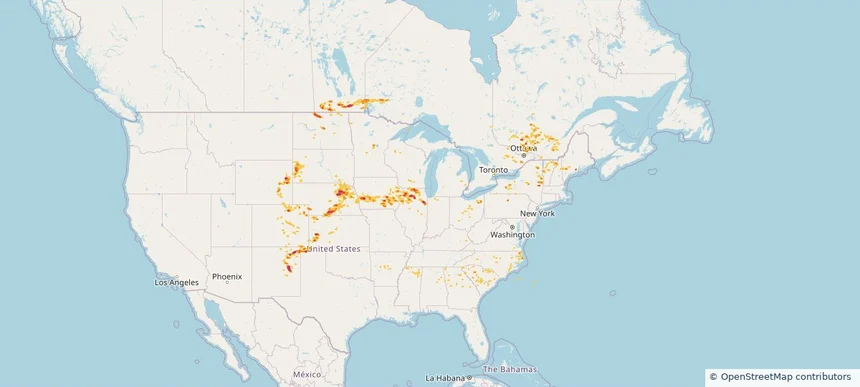
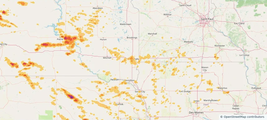
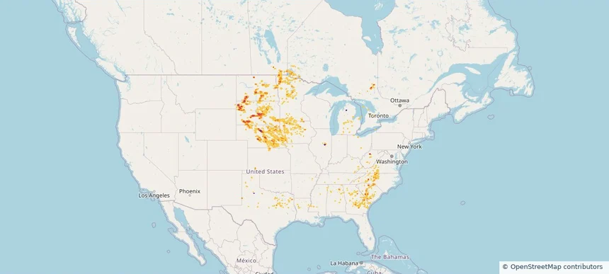
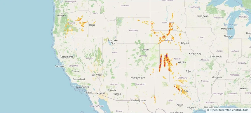
Hail as large as 3.00 inches was reported near Manter, KANSAS. Wind up to 110 mph was reported near 2 miles north of Dodge City, KS. 13 tornadoes were reported, including one near Hamilton, KANSAS. The storm had 14 official hail reports.
4.19 inRadar size estimate
649,687Population Affected
273,243Houses Affected
Hail · Wind · TornadoHazards
FreeAccount signup