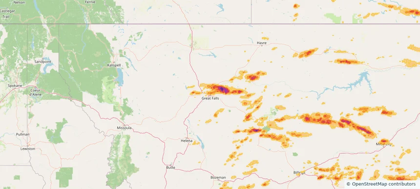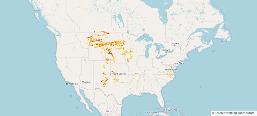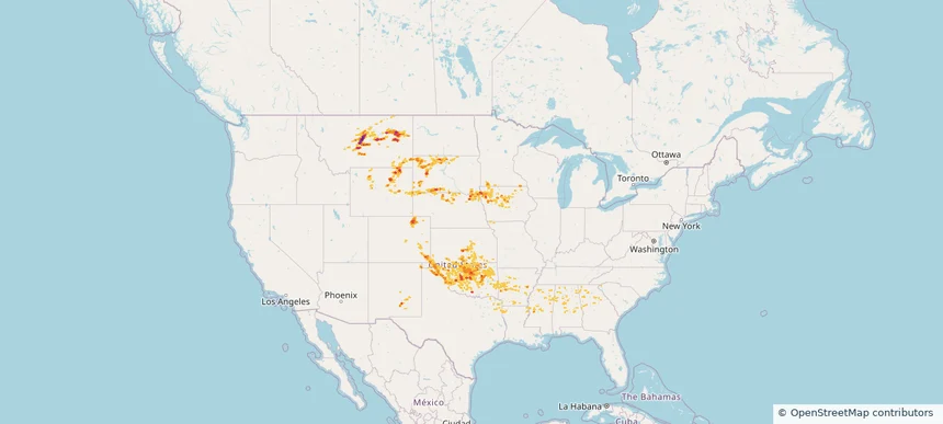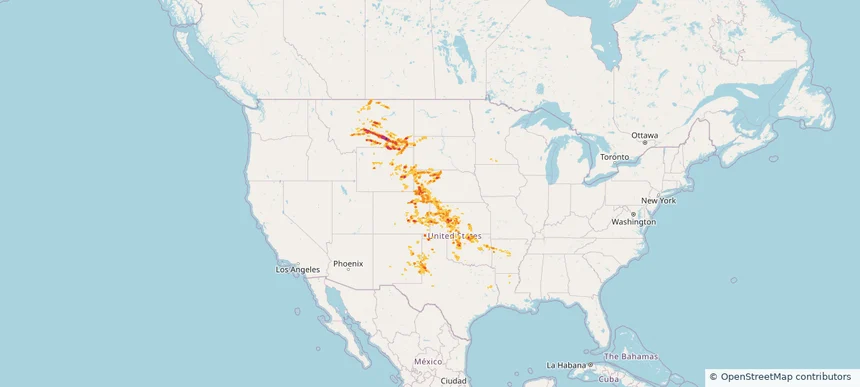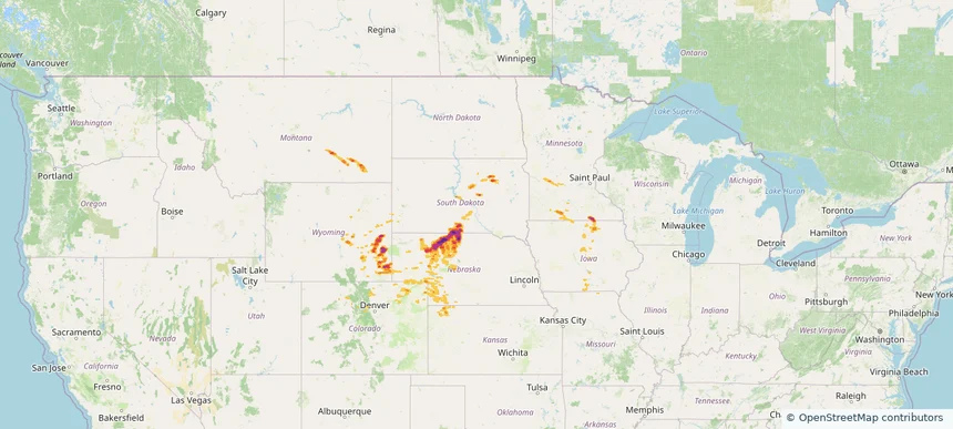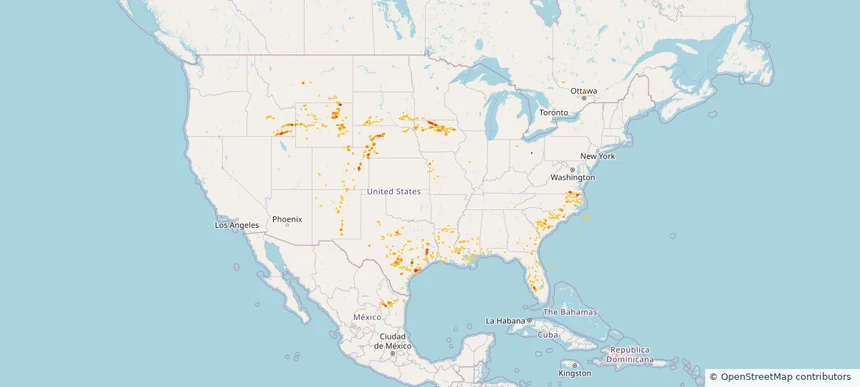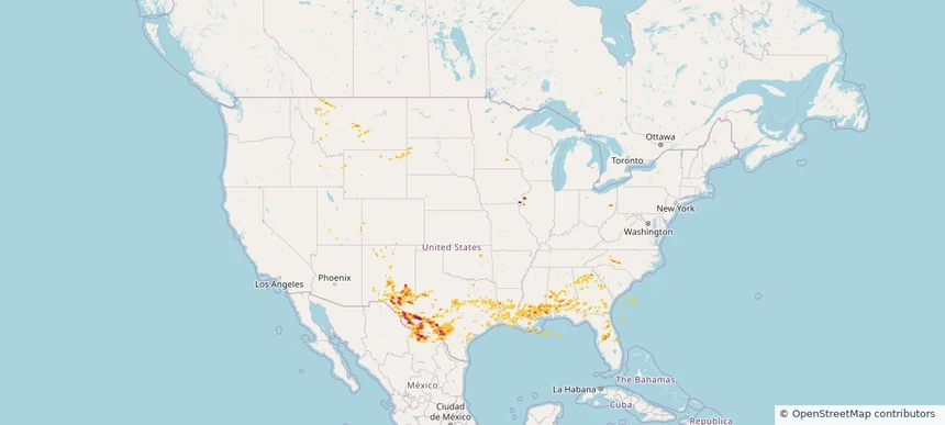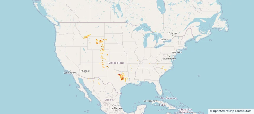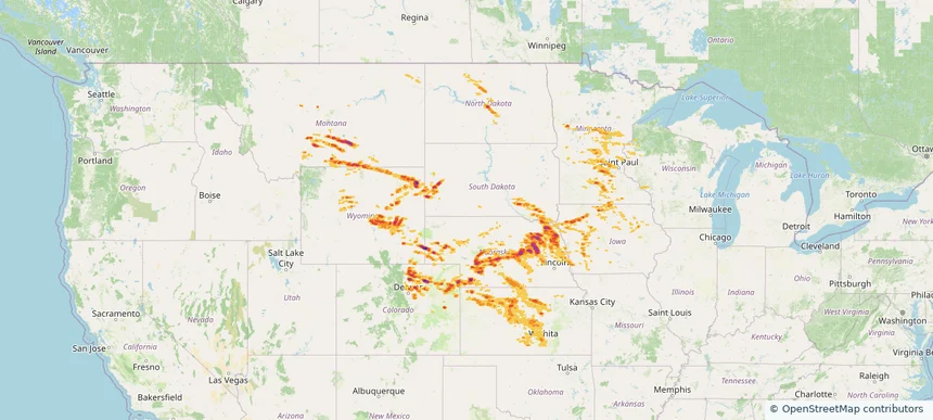
Storm footprint preview
Jun 16, 2025 7:00 AM to Jun 17, 2025 7:00 AM CST
Historical Hail — 2025-06-16
Hail as large as 3.25 inches was reported near Waconia, MINNESOTA. Wind up to 116 mph was reported near 1 mile south-southeast of Wichita Eisenhowe, KS. 44 tornadoes were reported, including one near Converse, WYOMING. The storm had 51 official hail reports.
3.0 inRadar size estimate
1,599,662Population Affected
674,353Houses Affected
Hail · Wind · TornadoHazards
FreeAccount signup