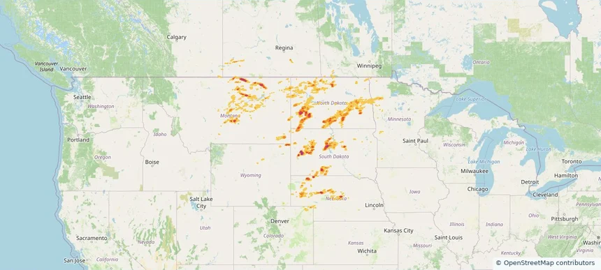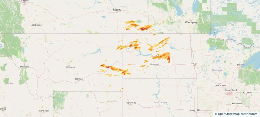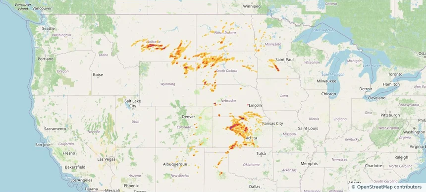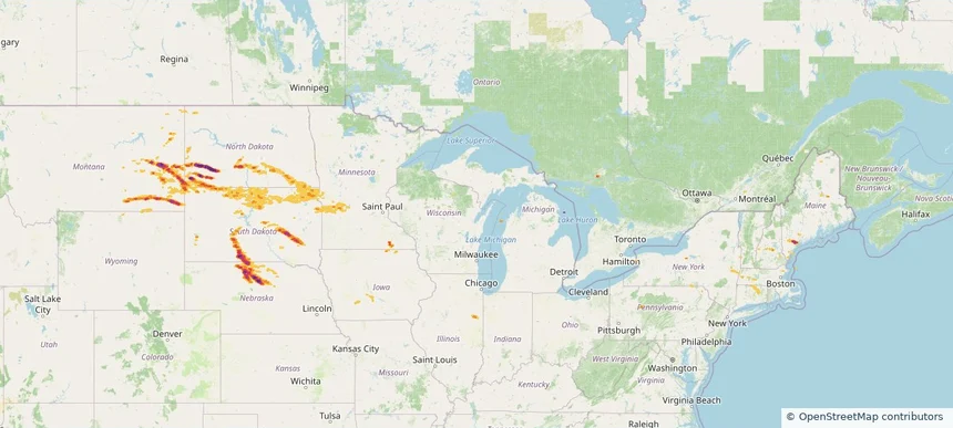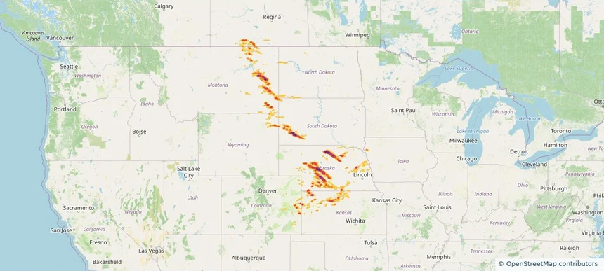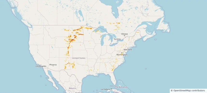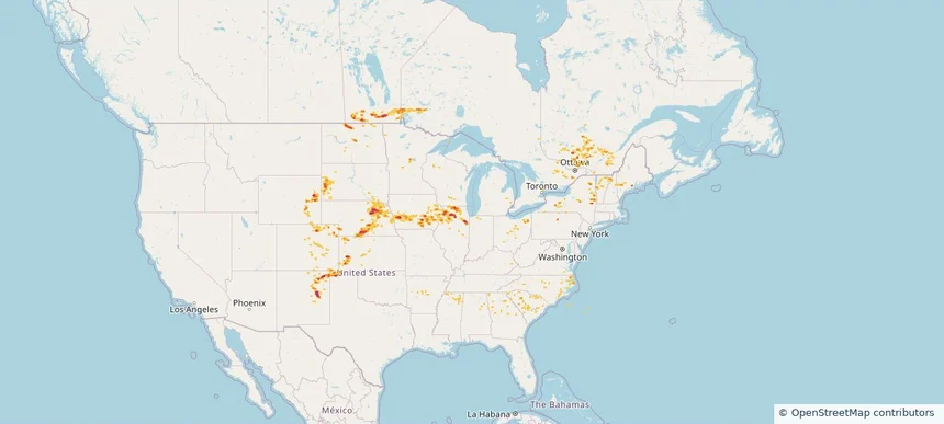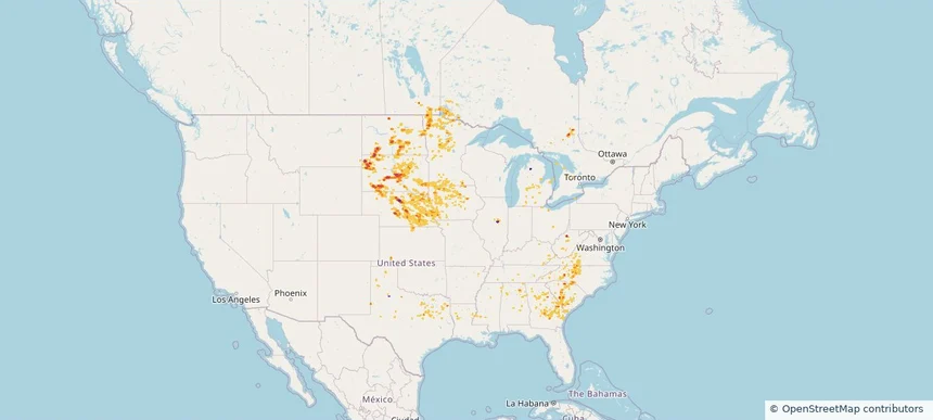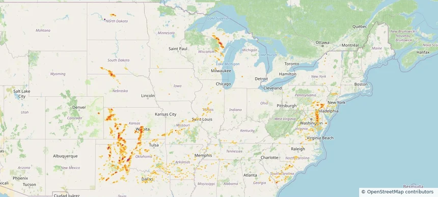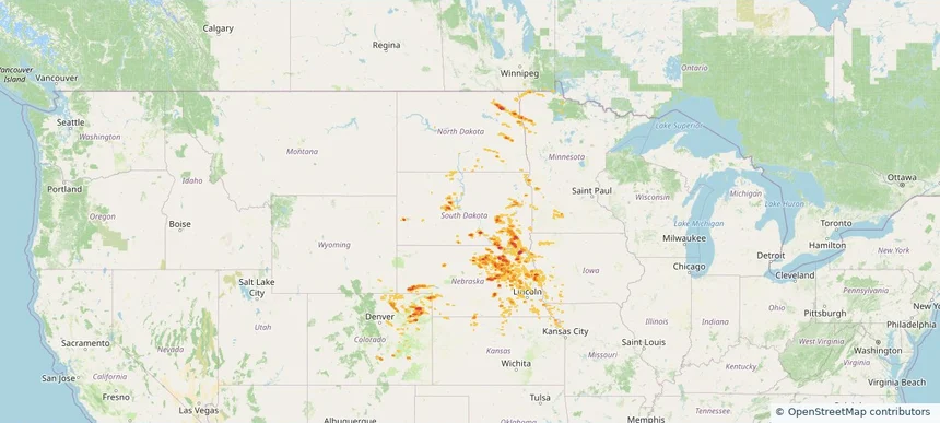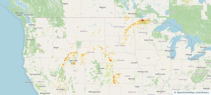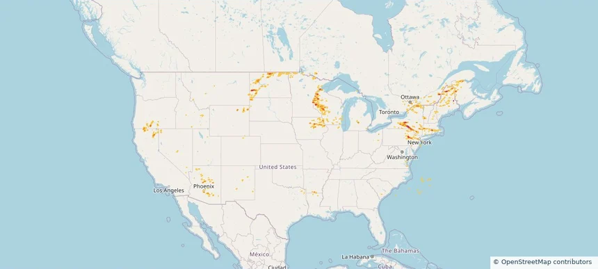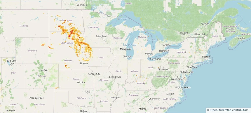
Storm footprint preview
Aug 5, 2025 7:00 AM to Aug 6, 2025 7:00 AM CST
Historical Hail — 2025-08-05
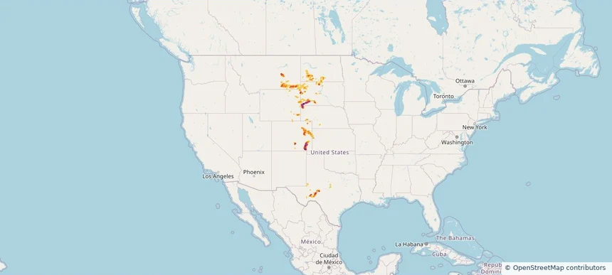
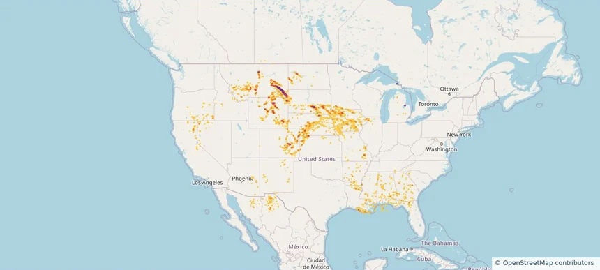
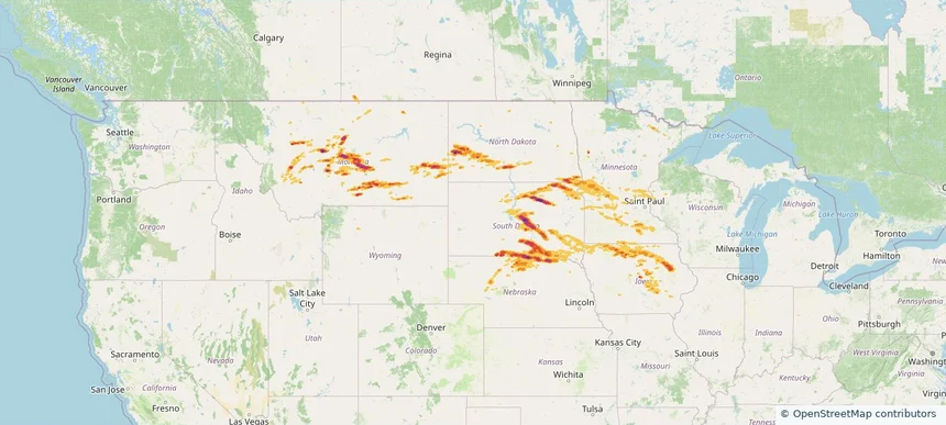
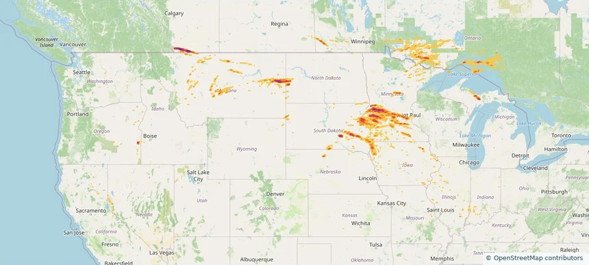
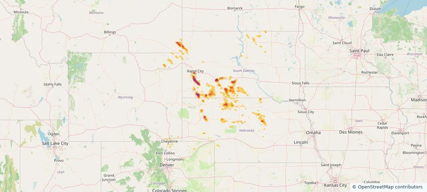
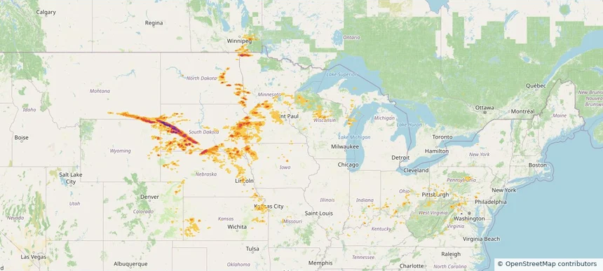
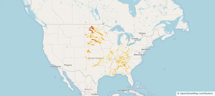
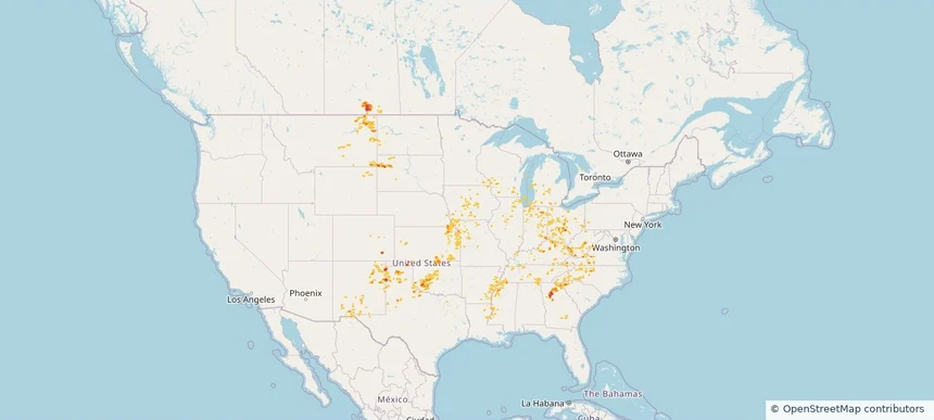
Hail as large as 2.75 inches was reported near Bowdle, SOUTH DAKOTA. Wind up to 114 mph was reported near 2 miles northeast of Sandy Shore State, SD. 4 tornadoes were reported, including one near Mcpherson, SOUTH DAKOTA. The storm had 12 official hail reports.
2.37 inRadar size estimate
100,862Population Affected
43,395Houses Affected
Hail · Wind · TornadoHazards
FreeAccount signup