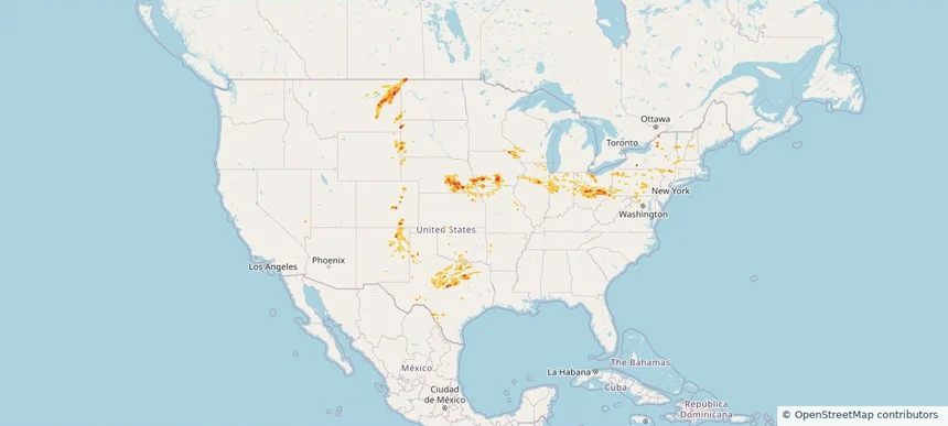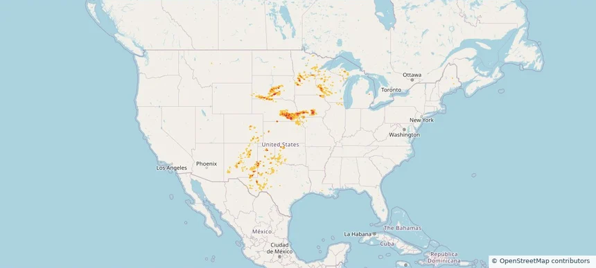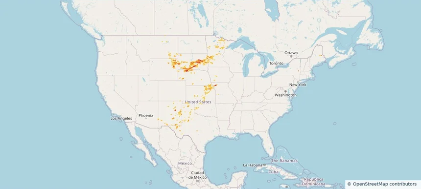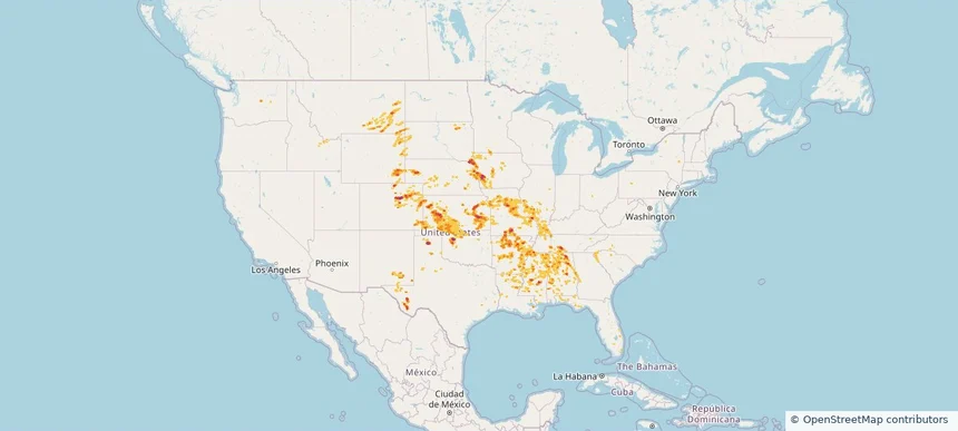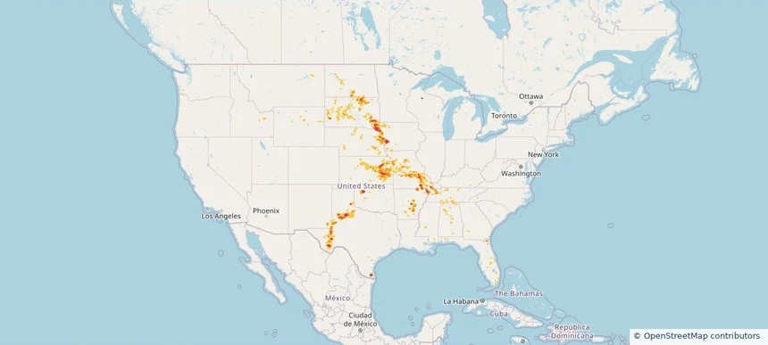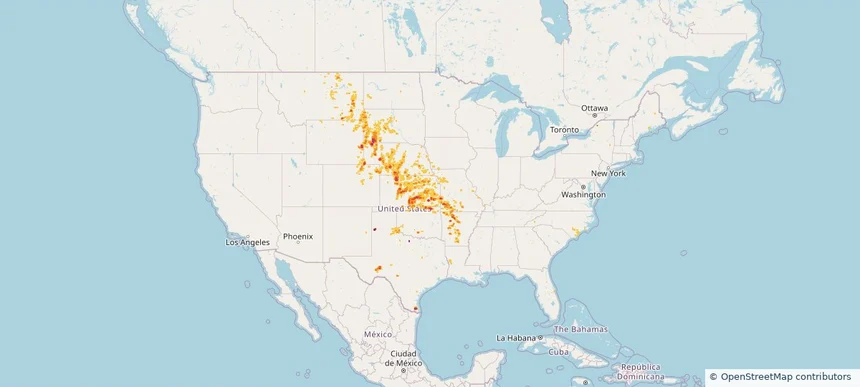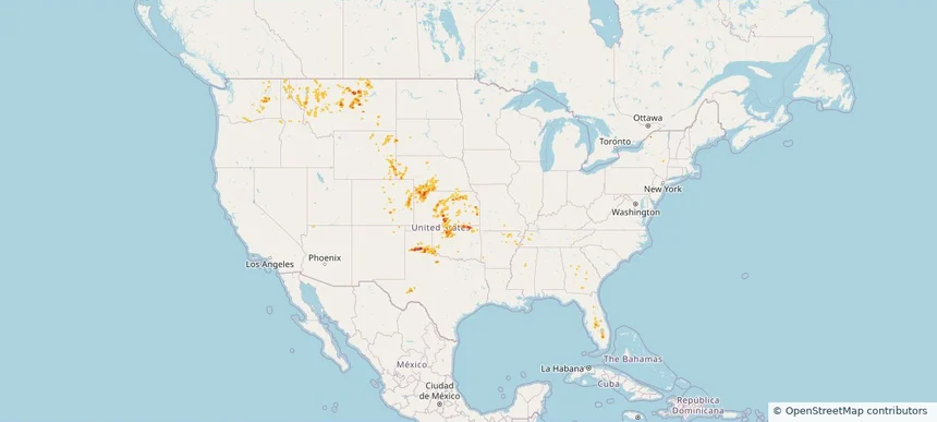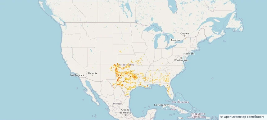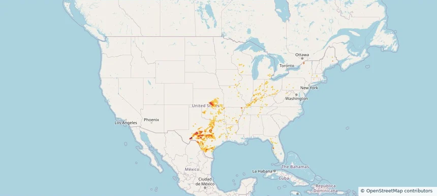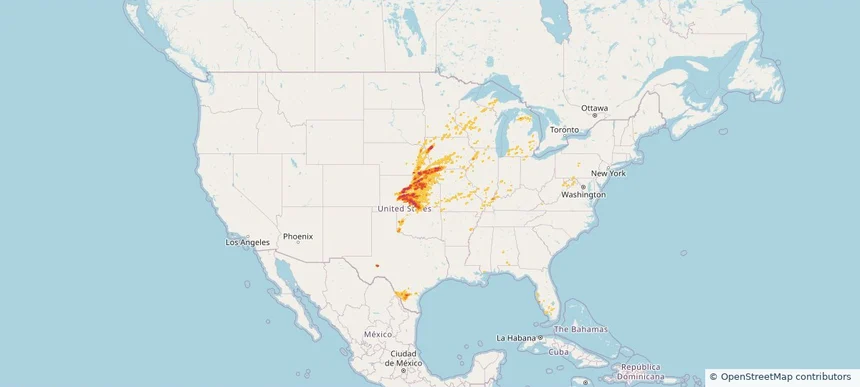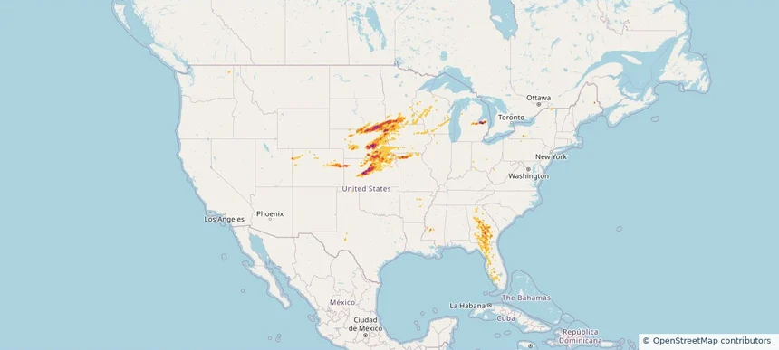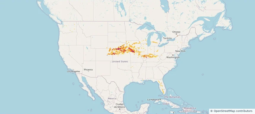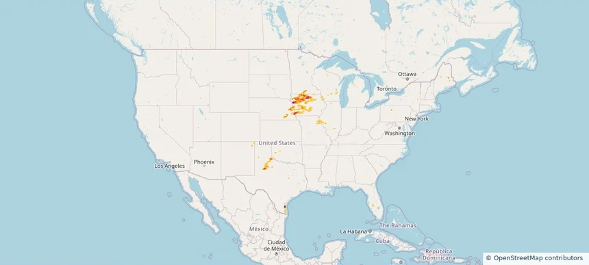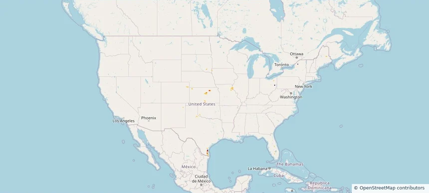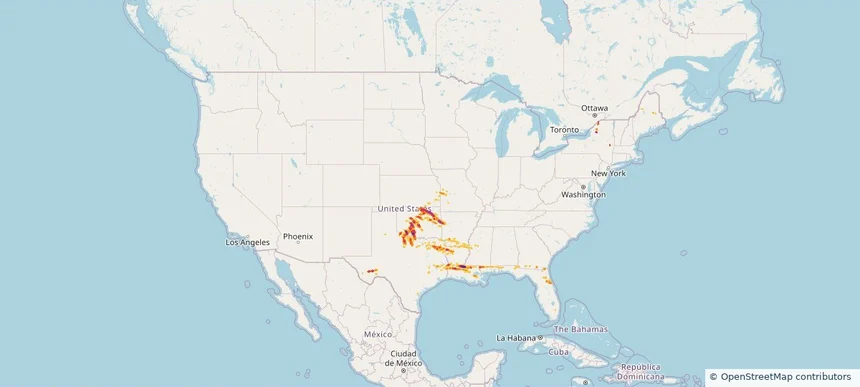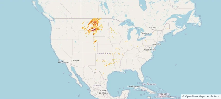
Storm footprint preview
Jun 6, 2026 10:00 PM to Jun 8, 2026 1:48 AM CST
Nationwide Daily Hail, Wind & Tornado Map - June 7, 2026
Hail as large as 3.25 inches was reported near 5 miles north of Redig, SD. Wind up to 118 mph was reported near 1 mile north of Beulah, ND. 10 tornadoes were reported, including one near 2 miles east of Nail, AR. The storm had 14 official hail reports.
3.97 inRadar size estimate
143,161Population Affected
63,979Houses Affected
Hail · Wind · TornadoHazards
FreeAccount signup