Storm library

Browse live and recent hail maps.

Review storm footprints, hail swaths, reports, and replay access. Create a free account to save your setup and move into map access when a storm matters.

Search filters
Clear
Newest storms first by default.
Don't see your storm? Request a qualifying storm map and we'll email you when it is ready.
Showing 97-105 of 105 storms · Page 5 of 5
‹ 1 4 5 ›
Request a storm map

Tell us about the storm and we'll build the map. Once it's published you'll get an email and can purchase it from the library — just like any other event.

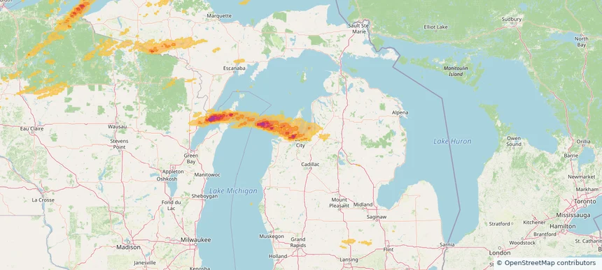
Traverse City, MI — June 20, 2025 — regional hail footprint preview
Storm footprint preview

Local hail summary for the Traverse City area: 7.60 square miles of estimated ground-hail footprint; highest mapped band 1+ inches. 0 official hail report(s) within the summary area. Exposure estimates are not confirmed property damage. Open the map to explore the full coverage included in your access. Statistics cover the mapped hail footprint inside the Census boundary of Traverse City, MI, not the entire region. The place had 15,678 residents in the 2020 Census. A boundary intersection does not mean the whole community was hit. Estimated housing exposure: 4,914 units in 1-inch-or-larger bands, including 0 in 1.5-inch-or-larger bands and 0 in 2-inch-or-larger bands.

Affected states: Traverse City area, MI
1+ inRadar size estimate 15,590Population Affected 8,358Houses Affected HailHazards FreeAccount signup
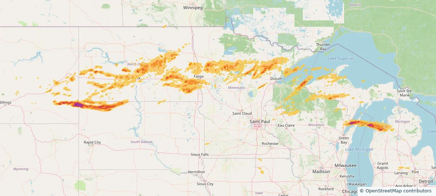
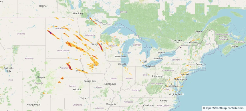
Historical Hail — 2025-06-20 — regional hail footprint preview
Storm footprint preview
Jun 20, 2025 7:00 AM to Jun 21, 2025 7:00 AM CST

Historical Hail — 2025-06-20

Hail as large as 3.00 inches was reported near Jamestown, NORTH DAKOTA. Wind up to 128 mph was reported near 1 mile east of Luverne, ND. 57 tornadoes were reported, including one near Stutsman, NORTH DAKOTA. The storm had 10 official hail reports.

Affected states: National, IA, MI, MN, MT, ND, SD, WI
2.87 inRadar size estimate 457,176Population Affected 233,330Houses Affected Hail · Wind · TornadoHazards FreeAccount signup
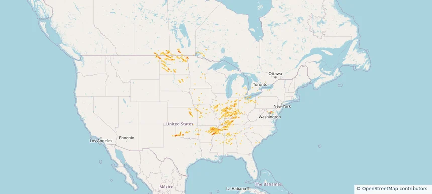
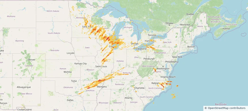
Historical Hail — 2025-06-19 — regional hail footprint preview
Storm footprint preview
Jun 19, 2025 7:00 AM to Jun 20, 2025 7:00 AM CST

Historical Hail — 2025-06-19

Hail as large as 2.50 inches was reported near (Dik)Dickinson Muni, NORTH DAKOTA. Wind up to 104 mph was reported near Beltrami, MINNESOTA. 34 tornadoes were reported, including one near Ottawa, OHIO. The storm had 25 official hail reports.

Affected states: National, CO, CT, DE, DC, IN, IA, KS, ME, MD, MI, MN, NE, NH, NJ, NY, ND, OH, PA, SD, VT, VA, WV, WI
4.09 inRadar size estimate 1,040,687Population Affected 436,626Houses Affected Hail · Wind · TornadoHazards FreeAccount signup
Historical Hail — 2025-06-18 — regional hail footprint preview
Storm footprint preview
Jun 18, 2025 7:00 AM to Jun 19, 2025 7:00 AM CST

Historical Hail — 2025-06-18

Hail as large as 1.25 inches was reported near Delmont, MARYLAND. Wind up to 104 mph was reported near Beltrami, MINNESOTA. 117 tornadoes were reported, including one near Converse, WYOMING. The storm had 6 official hail reports.

Affected states: National, AL, AR, DE, GA, IL, IN, IA, KS, KY, MD, MI, MN, MS, MO, MT, NY, ND, OH, OK, PA, SC, SD, TN, TX, WV
1.99 inRadar size estimate 541,839Population Affected 224,016Houses Affected Hail · Wind · TornadoHazards FreeAccount signup
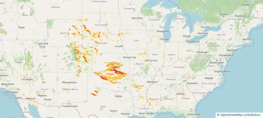
Historical Hail — 2025-06-17 — regional hail footprint preview
Storm footprint preview
Jun 17, 2025 7:00 AM to Jun 18, 2025 7:00 AM CST

Historical Hail — 2025-06-17

Hail as large as 2.75 inches was reported near Mayfield, KANSAS. Wind up to 92 mph was reported near 2 miles east of Andover, KS. 86 tornadoes were reported, including one near Converse, WYOMING. The storm had 33 official hail reports.

Affected states: National, AL, AR, CO, GA, IL, IN, IA, KS, KY, LA, MI, MS, MO, MT, NE, NM, NC, ND, OH, OK, SC, SD, TN, TX, VA, WY
4.44 inRadar size estimate 1,697,377Population Affected 705,711Houses Affected Hail · Wind · TornadoHazards FreeAccount signup
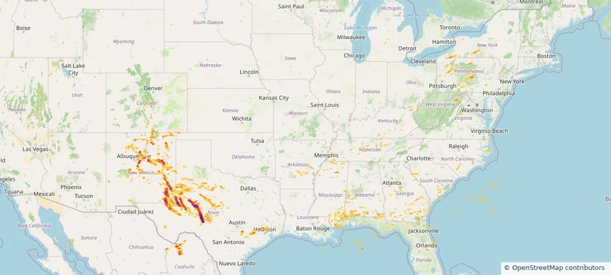
Historical Hail — 2025-06-09 — regional hail footprint preview
Storm footprint preview
Jun 9, 2025 7:00 AM to Jun 10, 2025 7:00 AM CST

Historical Hail — 2025-06-09

Hail as large as 3.25 inches was reported near Mertzon, TEXAS. Wind up to 96 mph was reported near Pa, PA. 33 tornadoes were reported, including one near Vermilion, LOUISIANA. The storm had 17 official hail reports.

Affected states: National, AL, AR, CO, FL, GA, KY, MI, MS, NM, NY, NC, OH, OK, PA, SC, TN, TX, VA, WV
4.16 inRadar size estimate 508,957Population Affected 200,245Houses Affected Hail · Wind · TornadoHazards FreeAccount signup
Historical Hail — 2025-06-08 — regional hail footprint preview
Storm footprint preview
Jun 8, 2025 7:00 AM to Jun 9, 2025 7:00 AM CST

Historical Hail — 2025-06-08

Hail as large as 2.30 inches was reported near Batavia, ILLINOIS. Wind up to 115 mph was reported near 4 miles north-northwest of Goree, TX. 43 tornadoes were reported, including one near Vermilion, LOUISIANA. The storm had 43 official hail reports.

Affected states: National, AL, AR, CO, FL, GA, IL, IN, IA, KS, LA, MI, MS, MO, NM, NC, OK, SC, TX, VA, WI
4.12 inRadar size estimate 1,221,571Population Affected 525,492Houses Affected Hail · Wind · TornadoHazards FreeAccount signup
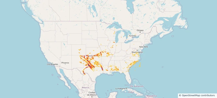
Historical Hail — 2025-05-16 — regional hail footprint preview
Storm footprint preview
May 16, 2025 7:00 AM to May 17, 2025 7:00 AM CST

Historical Hail — 2025-05-16

Hail as large as 4.50 inches was reported near Gum Corners, KENTUCKY. Wind up to 105 mph was reported near De, DE. 162 tornadoes were reported, including one near Edwards, KANSAS. The storm had 117 official hail reports.

Affected states: National, AL, AR, DE, GA, IL, IN, KY, MD, MI, MS, MO, NJ, NY, NC, OH, PA, SC, TN, TX, VA, WV, WI
3.5 inRadar size estimate 4,572,362Population Affected 2,025,660Houses Affected Hail · Wind · TornadoHazards FreeAccount signup
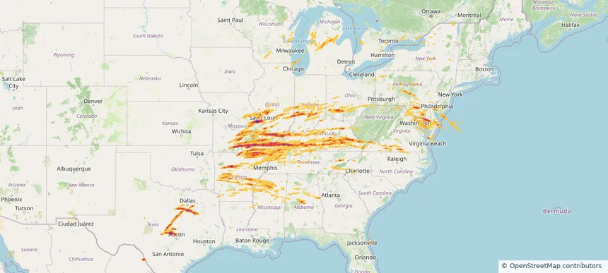
Historical Hail — 2025-05-15 — regional hail footprint preview
Storm footprint preview
May 15, 2025 7:00 AM to May 16, 2025 7:00 AM CST

Historical Hail — 2025-05-15

Hail as large as 2.75 inches was reported near Rochester Fox Rvr Ar, WISCONSIN. Wind up to 110 mph was reported near 1 mile north-northwest of Saint Joseph, MI. 131 tornadoes were reported, including one near Dare, NORTH CAROLINA. The storm had 64 official hail reports.

Affected states: National, AR, IL, IN, IA, KY, MI, MN, MO, NY, NC, OH, OK, PA, SC, SD, TN, VA, WI
2.5 inRadar size estimate 4,753,112Population Affected 2,104,152Houses Affected Hail · Wind · TornadoHazards FreeAccount signup
Page 5 of 5
‹ 1 4 5 ›

Frequently asked questions

Can I search hail maps by coverage area?

Yes. The storm library supports coverage-area filtering so you can find hail maps and hail swaths in a target service area.

What kinds of storms appear in the HailMapr library?

The library focuses on published hail events, including ready storm maps and live storms once hail has been detected and a public swath is available.

Are HailMapr storm pages useful for roofers and adjusters?

Yes. They are built to help roofers, adjusters, restoration teams, and property owners review storm footprints before purchase.