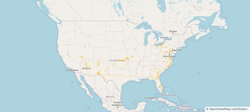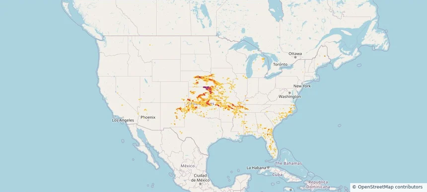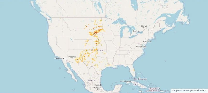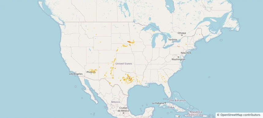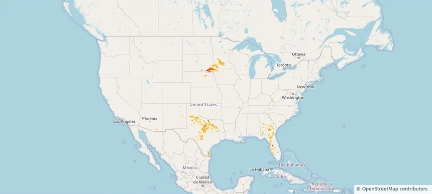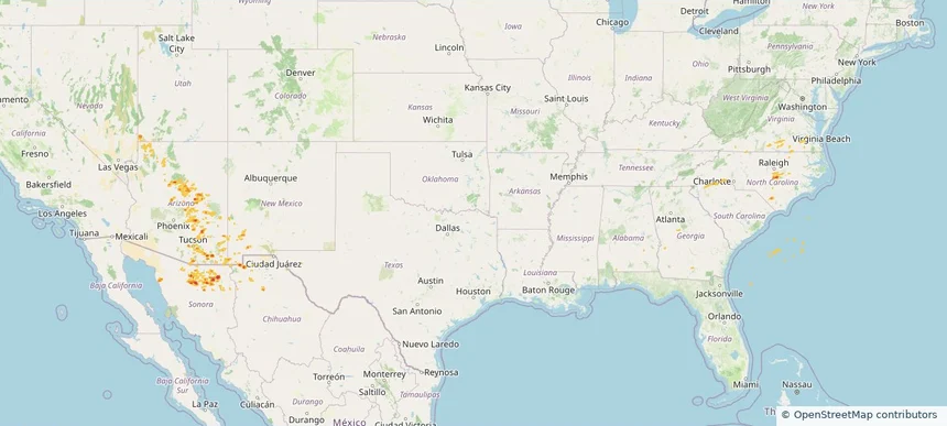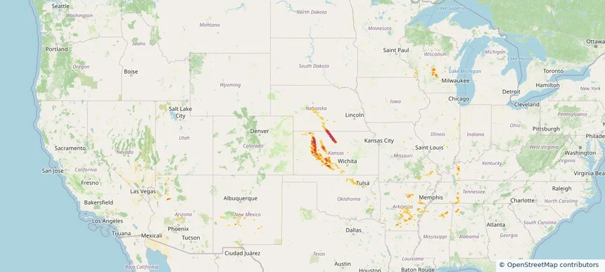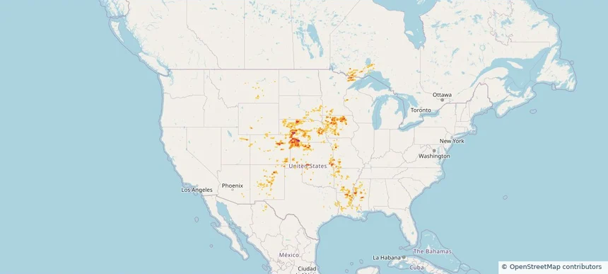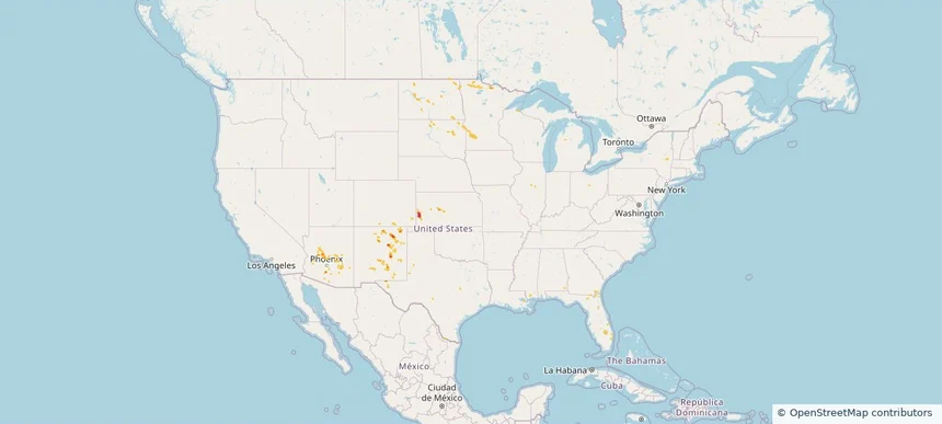
Nationwide Daily Hail & Wind Map - June 15, 2026
Hail as large as 1.00 inches was reported near 6 miles east-northeast of Minneota, MN. Wind up to 79 mph was reported near 5 miles west of Seneca, SD. The storm had 2 official hail reports.
Review storm footprints, hail swaths, reports, and replay access. Create a free account to save your setup and move into map access when a storm matters.

Hail as large as 1.00 inches was reported near 6 miles east-northeast of Minneota, MN. Wind up to 79 mph was reported near 5 miles west of Seneca, SD. The storm had 2 official hail reports.

Hail as large as 1.75 inches was reported near 2 miles west-southwest of Dortches, NC. Wind up to 109 mph was reported near Joplin, MO. 25 tornadoes were reported, including one near 1 mile east-southeast of Fidelity, MO. The storm had 5 official hail reports.

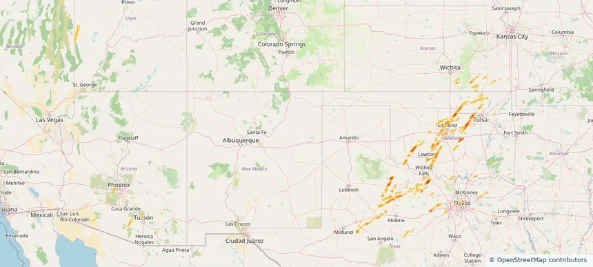
Hail as large as 4.00 inches was reported near 4 miles north of Winfield, KS. Wind up to 109 mph was reported near Joplin, MO. 7 tornadoes were reported, including one near 1 mile south-southwest of Avondale, MO. The storm had 23 official hail reports.

Hail as large as 2.50 inches was reported near 7 miles north of Witten, SD. Wind up to 97 mph was reported near Frederick, SD. 3 tornadoes were reported, including one near 5 miles west-northwest of Ideal, SD. The storm had 10 official hail reports.

Hail as large as 1.25 inches was reported near Lovington, NM. Wind up to 78 mph was reported near 21 miles west of Big Piney, WY. 5 tornadoes were reported, including one near Villa Tasso, FL. The storm had 1 official hail report.

Hail as large as 2.00 inches was reported near 7 miles east of Tripp, SD. Wind up to 86 mph was reported near 10 miles southwest of Paducah, TX. 2 tornadoes were reported, including one near 2 miles southwest of Town 'N' Country, FL. The storm had 13 official hail reports.

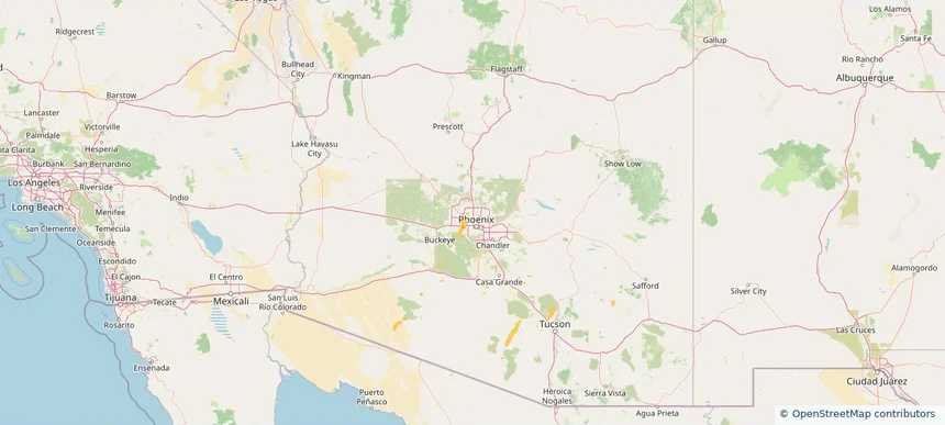
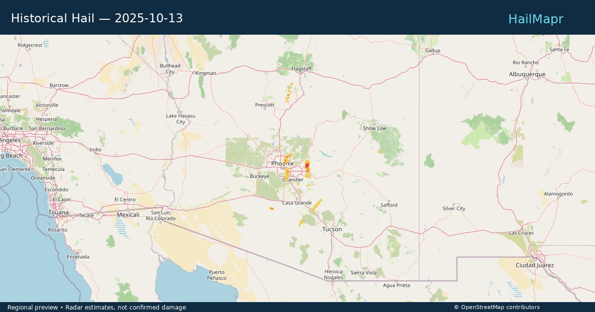
Local hail summary for the Phoenix area: 15.10 square miles of estimated ground-hail footprint; highest mapped band 1+ inches. 0 official hail report(s) within the summary area. Exposure estimates are not confirmed property damage. Open the map to explore the full coverage included in your access. Statistics cover the mapped hail footprint inside the Census boundary of Phoenix, AZ, not the entire region. The place had 1,608,139 residents in the 2020 Census. A boundary intersection does not mean the whole community was hit. Estimated housing exposure: 198 units in 1-inch-or-larger bands, including 0 in 1.5-inch-or-larger bands and 0 in 2-inch-or-larger bands.

Hail as large as 1.00 inches was reported near Helena, ARIZONA. Wind up to 71 mph was reported near 4 miles northeast of Geronimo, OK. 3 tornadoes were reported, including one near Maricopa, ARIZONA. The storm had 3 official hail reports.

Hail as large as 2.00 inches was reported near Palm Spgs, ARIZONA. Wind up to 90 mph was reported near Az, AZ. The storm had 2 official hail reports.

Hail as large as 1.00 inches was reported near Sandia Park, NEW MEXICO. Wind up to 67 mph was reported near 18 miles north-northeast of White Sands, NM. A tornado was reported near Maricopa, ARIZONA. The storm had 1 official hail report.

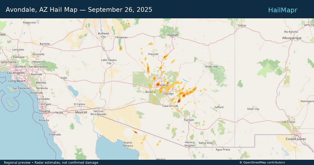
Local hail summary for the Avondale area: 0.10 square miles of estimated ground-hail footprint; highest mapped band 1+ inches. 0 official hail report(s) within the summary area. Exposure estimates are not confirmed property damage. Open the map to explore the full coverage included in your access. Statistics cover the mapped hail footprint inside the Census boundary of Avondale, AZ, not the entire region. The place had 89,334 residents in the 2020 Census. A boundary intersection does not mean the whole community was hit. Estimated housing exposure: 161 units in 1-inch-or-larger bands, including 0 in 1.5-inch-or-larger bands and 0 in 2-inch-or-larger bands.

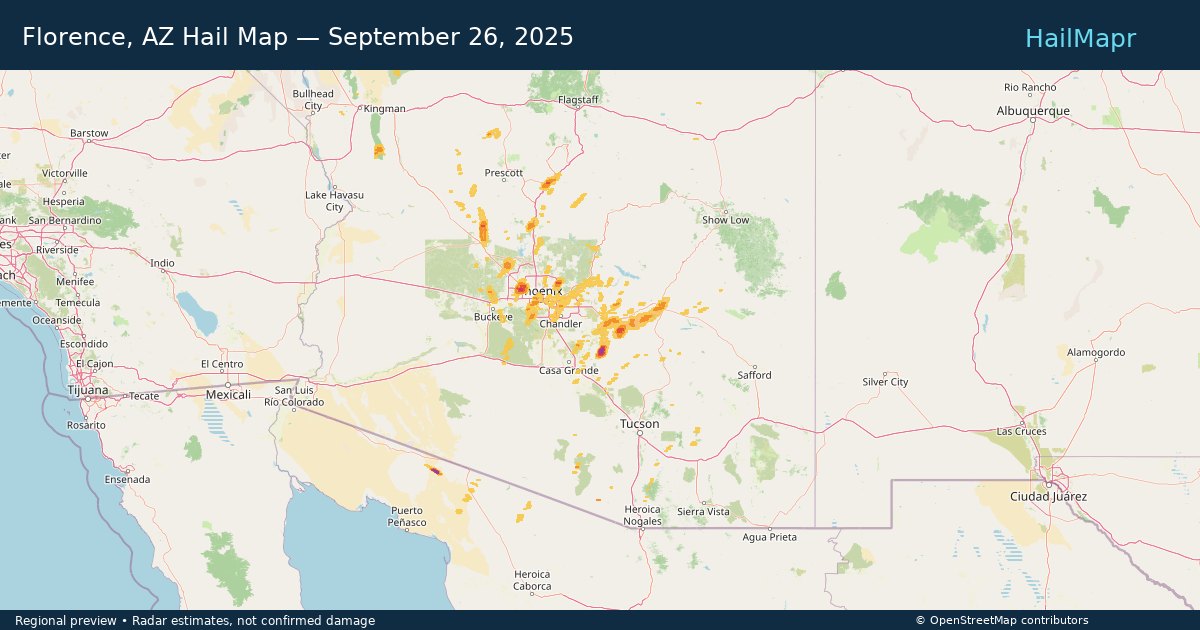
Local hail summary for the Florence area: 11.05 square miles of estimated ground-hail footprint; highest mapped band 2+ inches. 0 official hail report(s) within the summary area. Exposure estimates are not confirmed property damage. Open the map to explore the full coverage included in your access. Statistics cover the mapped hail footprint inside the Census boundary of Florence, AZ, not the entire region. The place had 26,785 residents in the 2020 Census. A boundary intersection does not mean the whole community was hit. Estimated housing exposure: 641 units in 1-inch-or-larger bands, including 2 in 1.5-inch-or-larger bands and 0 in 2-inch-or-larger bands.

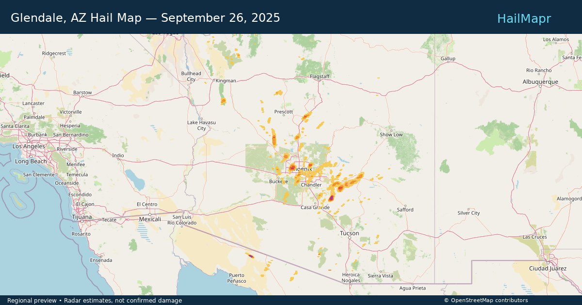
Local hail summary for the Glendale area: 9.78 square miles of estimated ground-hail footprint; highest mapped band 1.5+ inches. 0 official hail report(s) within the summary area. Exposure estimates are not confirmed property damage. Open the map to explore the full coverage included in your access. Statistics cover the mapped hail footprint inside the Census boundary of Glendale, AZ, not the entire region. The place had 248,325 residents in the 2020 Census. A boundary intersection does not mean the whole community was hit. Estimated housing exposure: 5,362 units in 1-inch-or-larger bands, including 1,784 in 1.5-inch-or-larger bands and 0 in 2-inch-or-larger bands.

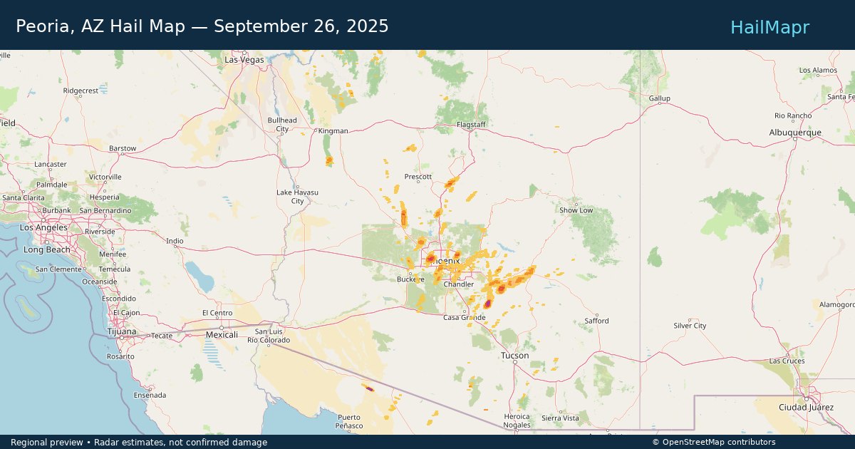
Local hail summary for the Peoria area: 28.20 square miles of estimated ground-hail footprint; highest mapped band 1.5+ inches. 0 official hail report(s) within the summary area. Exposure estimates are not confirmed property damage. Open the map to explore the full coverage included in your access. Statistics cover the mapped hail footprint inside the Census boundary of Peoria, AZ, not the entire region. The place had 190,985 residents in the 2020 Census. A boundary intersection does not mean the whole community was hit. Estimated housing exposure: 26,286 units in 1-inch-or-larger bands, including 16,642 in 1.5-inch-or-larger bands and 0 in 2-inch-or-larger bands.

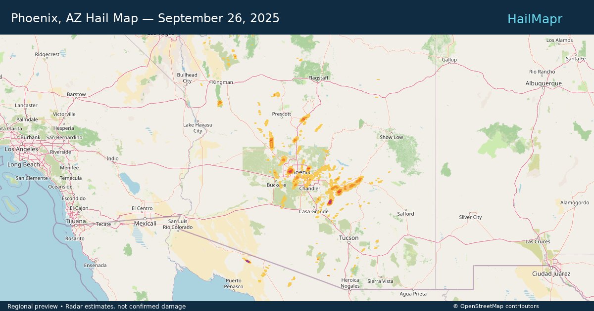
Local hail summary for the Phoenix area: 16.60 square miles of estimated ground-hail footprint; highest mapped band 1+ inches. 1 official hail report(s) within the summary area. Exposure estimates are not confirmed property damage. Open the map to explore the full coverage included in your access. Statistics cover the mapped hail footprint inside the Census boundary of Phoenix, AZ, not the entire region. The place had 1,608,139 residents in the 2020 Census. A boundary intersection does not mean the whole community was hit. Estimated housing exposure: 5,078 units in 1-inch-or-larger bands, including 0 in 1.5-inch-or-larger bands and 0 in 2-inch-or-larger bands.

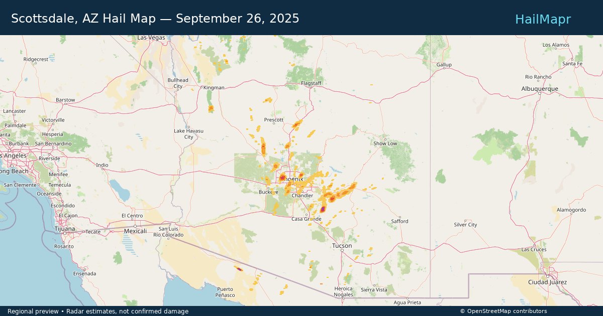
Local hail summary for the Scottsdale area: 12.81 square miles of estimated ground-hail footprint; highest mapped band 1.5+ inches. 3 official hail report(s) within the summary area. Exposure estimates are not confirmed property damage. Open the map to explore the full coverage included in your access. Statistics cover the mapped hail footprint inside the Census boundary of Scottsdale, AZ, not the entire region. The place had 241,361 residents in the 2020 Census. A boundary intersection does not mean the whole community was hit. Estimated housing exposure: 10,675 units in 1-inch-or-larger bands, including 2,271 in 1.5-inch-or-larger bands and 0 in 2-inch-or-larger bands.

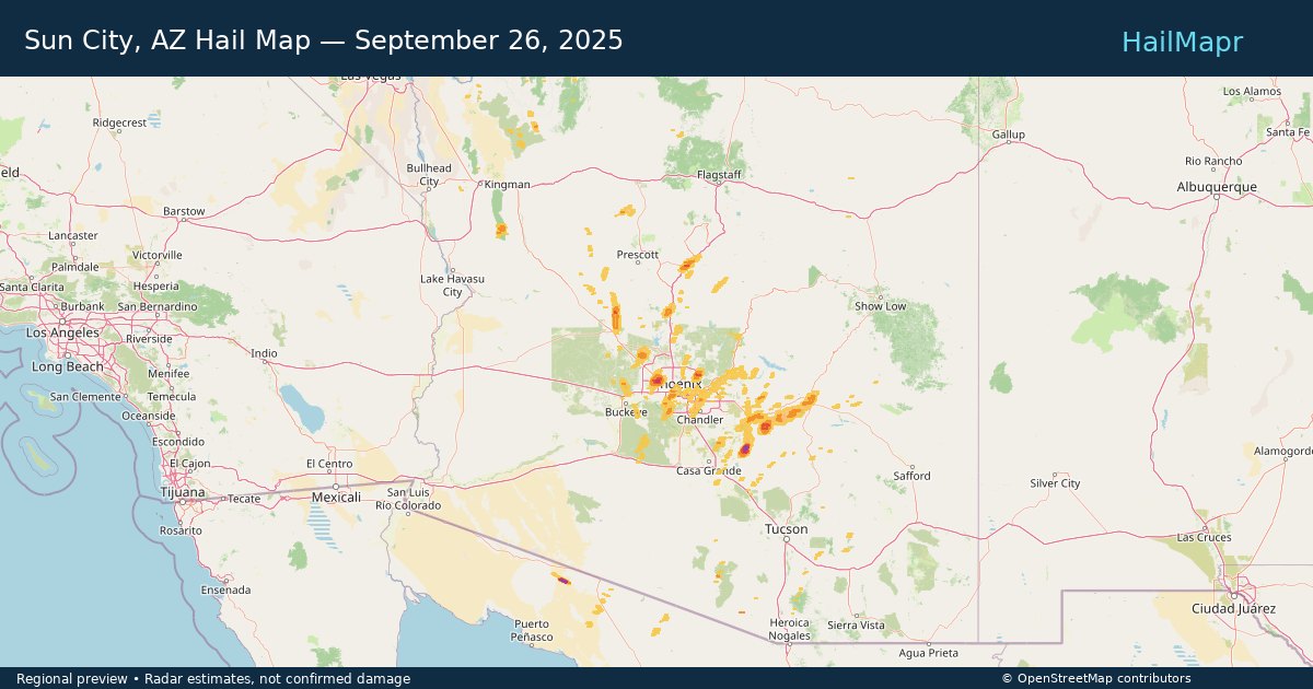
Local hail summary for the Sun City area: 7.31 square miles of estimated ground-hail footprint; highest mapped band 1.5+ inches. 0 official hail report(s) within the summary area. Exposure estimates are not confirmed property damage. Open the map to explore the full coverage included in your access. Statistics cover the mapped hail footprint inside the Census boundary of Sun City, AZ, not the entire region. The place had 39,931 residents in the 2020 Census. A boundary intersection does not mean the whole community was hit. Estimated housing exposure: 13,018 units in 1-inch-or-larger bands, including 2,985 in 1.5-inch-or-larger bands and 0 in 2-inch-or-larger bands.

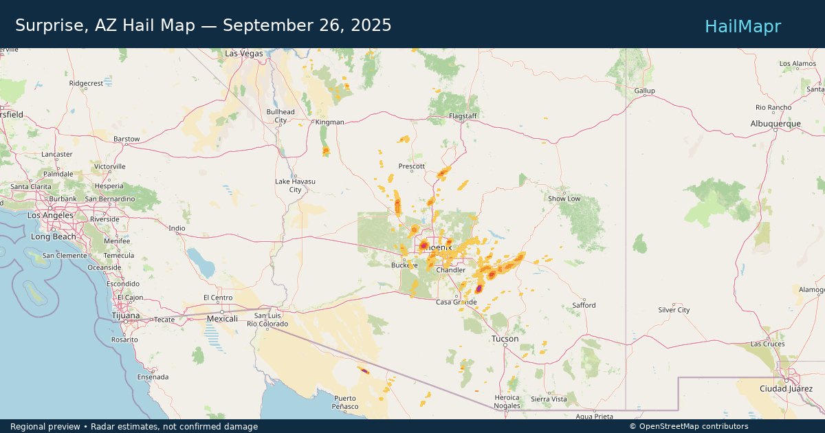
Local hail summary for the Surprise area: 5.80 square miles of estimated ground-hail footprint; highest mapped band 1.5+ inches. 0 official hail report(s) within the summary area. Exposure estimates are not confirmed property damage. Open the map to explore the full coverage included in your access. Statistics cover the mapped hail footprint inside the Census boundary of Surprise, AZ, not the entire region. The place had 143,148 residents in the 2020 Census. A boundary intersection does not mean the whole community was hit. Estimated housing exposure: 129 units in 1-inch-or-larger bands, including 0 in 1.5-inch-or-larger bands and 0 in 2-inch-or-larger bands.

Hail as large as 1.25 inches was reported near Phoenix, ARIZONA. Wind up to 64 mph was reported near Sky Harbor Airport, AZ. A tornado was reported near Maricopa, ARIZONA. The storm had 6 official hail reports.

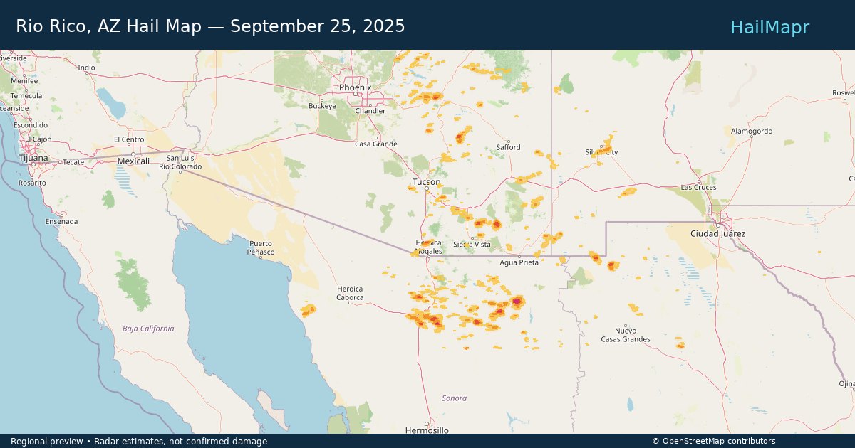
Local hail summary for the Rio Rico area: 10.25 square miles of estimated ground-hail footprint; highest mapped band 1+ inches. 1 official hail report(s) within the summary area. Exposure estimates are not confirmed property damage. Open the map to explore the full coverage included in your access. Statistics cover the mapped hail footprint inside the Census boundary of Rio Rico, AZ, not the entire region. The place had 20,549 residents in the 2020 Census. A boundary intersection does not mean the whole community was hit. Estimated housing exposure: 419 units in 1-inch-or-larger bands, including 0 in 1.5-inch-or-larger bands and 0 in 2-inch-or-larger bands.

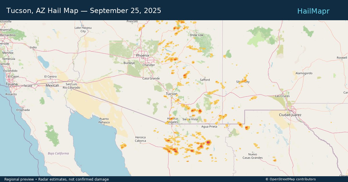
Local hail summary for the Tucson area: 2.90 square miles of estimated ground-hail footprint; highest mapped band 1+ inches. 0 official hail report(s) within the summary area. Exposure estimates are not confirmed property damage. Open the map to explore the full coverage included in your access. Statistics cover the mapped hail footprint inside the Census boundary of Tucson, AZ, not the entire region. The place had 542,629 residents in the 2020 Census. A boundary intersection does not mean the whole community was hit. Estimated housing exposure: 312 units in 1-inch-or-larger bands, including 0 in 1.5-inch-or-larger bands and 0 in 2-inch-or-larger bands.

Hail as large as 1.00 inches was reported near Miami, ARIZONA. Wind up to 81 mph was reported near Howard, ARKANSAS. 2 tornadoes were reported, including one near Bossier, LOUISIANA. The storm had 4 official hail reports.

Hail as large as 1.75 inches was reported near Jennings, KANSAS. Wind up to 91 mph was reported near 7 miles north-northeast of Tasco, KS. A tornado was reported near Mason, ILLINOIS. The storm had 2 official hail reports.

Hail as large as 3.00 inches was reported near Mc Cook, NEBRASKA. Wind up to 93 mph was reported near 6 miles east of Storrie Lake State, NM. 8 tornadoes were reported, including one near Mckenzie, NORTH DAKOTA. The storm had 27 official hail reports.
Yes. The storm library supports coverage-area filtering so you can find hail maps and hail swaths in a target service area.
The library focuses on published hail events, including ready storm maps and live storms once hail has been detected and a public swath is available.
Yes. They are built to help roofers, adjusters, restoration teams, and property owners review storm footprints before purchase.