Storm library

Browse live and recent hail maps.

Review storm footprints, hail swaths, reports, and replay access. Create a free account to save your setup and move into map access when a storm matters.

Search filters
Clear
Newest storms first by default.
Don't see your storm? Request a qualifying storm map and we'll email you when it is ready.
Showing 73-96 of 98 storms · Page 4 of 5
‹ 1 3 4 5 ›
Request a storm map

Tell us about the storm and we'll build the map. Once it's published you'll get an email and can purchase it from the library — just like any other event.

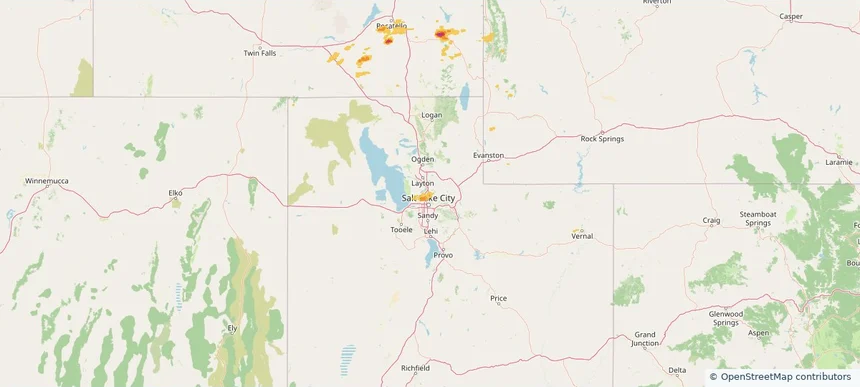
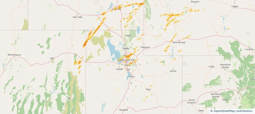
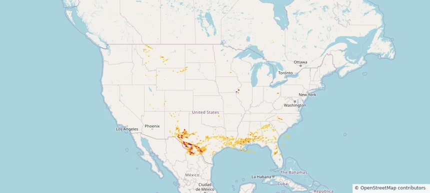
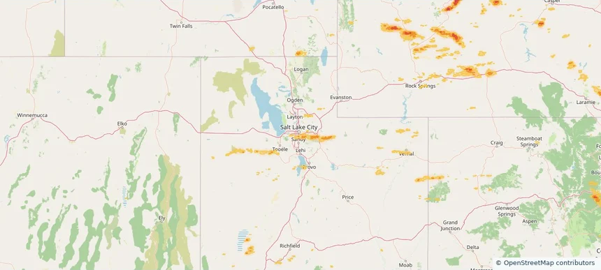
Millcreek, UT — June 25, 2026 — regional hail footprint preview
Storm footprint preview

Local hail summary for the Millcreek area: 11.39 square miles of estimated ground-hail footprint; highest mapped band 1+ inches. 0 official hail report(s) within the summary area. Exposure estimates are not confirmed property damage. Open the map to explore the full coverage included in your access. Statistics cover the mapped hail footprint inside the Census boundary of Millcreek, UT, not the entire region. The place had 63,380 residents in the 2020 Census. A boundary intersection does not mean the whole community was hit. Estimated housing exposure: 1,759 units in 1-inch-or-larger bands, including 0 in 1.5-inch-or-larger bands and 0 in 2-inch-or-larger bands.

Affected states: Millcreek area, UT
1+ inRadar size estimate 54,538Population Affected 22,757Houses Affected HailHazards FreeAccount signup
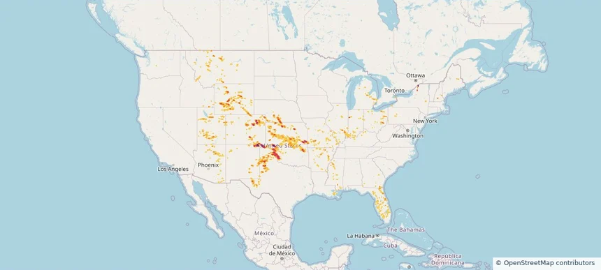
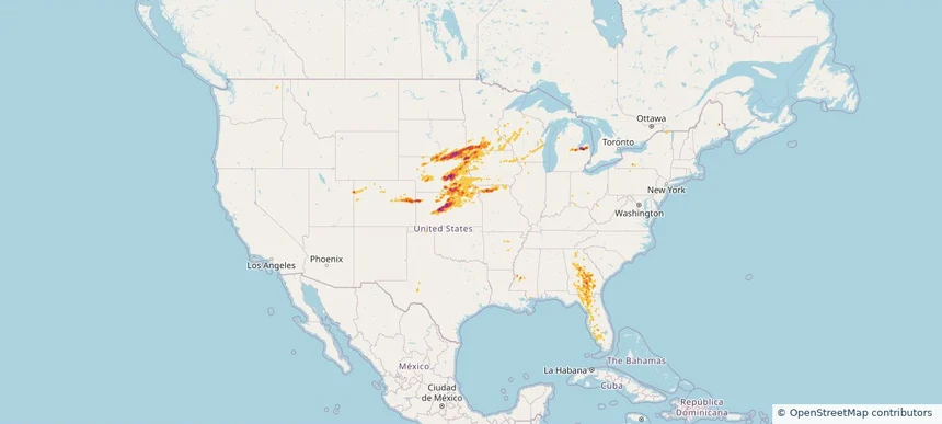
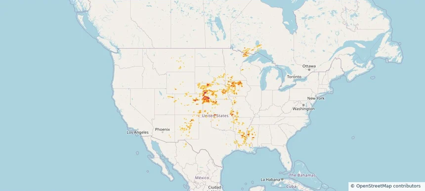
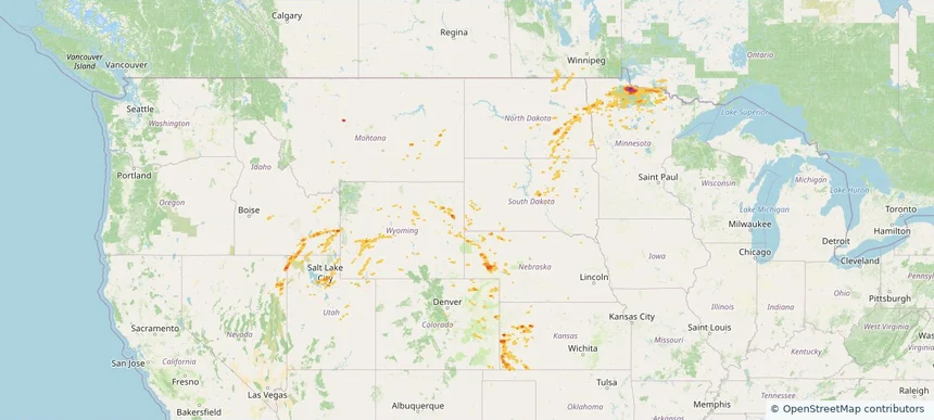
Nationwide Daily Hail, Wind & Tornado Map - June 25, 2026 — regional hail footprint preview
Storm footprint preview
Jun 24, 2026 10:00 PM to Jun 26, 2026 1:45 AM CST

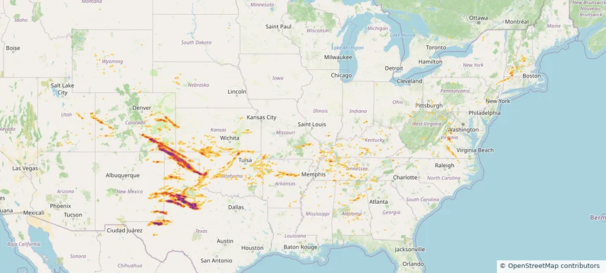
Nationwide Daily Hail, Wind & Tornado Map - June 25, 2026

Hail as large as 2.50 inches was reported near Boise City, OK. Wind up to 127 mph was reported near 2 miles northeast of Slaton, TX. 4 tornadoes were reported, including one near 11 miles north-northeast of Jeffrey City, WY. The storm had 25 official hail reports.

Affected states: National, AZ, AR, CO, FL, GA, ID, IL, IN, KS, KY, LA, MI, MS, MO, MT, NE, NH, NM, NY, OH, OK, PA, TX, UT, WY
4.39 inRadar size estimate 1,071,122Population Affected 470,096Houses Affected Hail · Wind · TornadoHazards FreeAccount signup
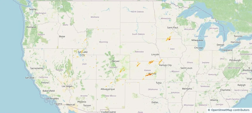
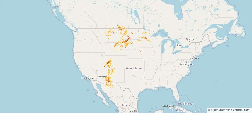
Nationwide Daily Hail, Wind & Tornado Map - June 24, 2026 — regional hail footprint preview
Storm footprint preview
Jun 23, 2026 10:00 PM to Jun 25, 2026 1:45 AM CST

Nationwide Daily Hail, Wind & Tornado Map - June 24, 2026

Hail as large as 3.20 inches was reported near 5 miles south of Dailey, CO. Wind up to 96 mph was reported near 1 mile north-northwest of Akron, CO. 8 tornadoes were reported, including one near 3 miles west-southwest of Huntley, IL. The storm had 47 official hail reports.

Affected states: National, AL, AZ, AR, CA, CO, FL, ID, IL, IN, IA, KS, LA, MI, MN, MS, MO, MT, NE, NV, NM, OK, TX, UT, WA, WI, WY
3.5 inRadar size estimate 1,897,132Population Affected 786,049Houses Affected Hail · Wind · TornadoHazards FreeAccount signup
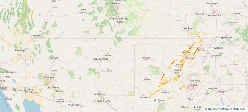
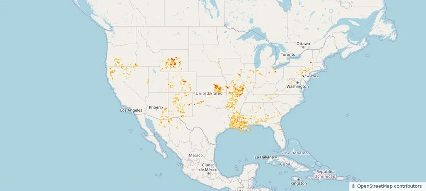
Nationwide Daily Hail, Wind & Tornado Map - June 20, 2026 — regional hail footprint preview
Storm footprint preview
Jun 19, 2026 10:00 PM to Jun 21, 2026 1:45 AM CST

Nationwide Daily Hail, Wind & Tornado Map - June 20, 2026

Hail as large as 3.00 inches was reported near 2 miles north-northwest of Stratton, NE. Wind up to 115 mph was reported near 2 miles northeast of Colby, KS. 12 tornadoes were reported, including one near 7 miles north of Tivoli, TX. The storm had 21 official hail reports.

Affected states: National, AL, CA, CO, FL, GA, ID, KS, LA, MI, MS, MT, NE, NV, NY, OH, OR, PA, SD, TX, UT, WY
4.01 inRadar size estimate 269,284Population Affected 117,603Houses Affected Hail · Wind · TornadoHazards FreeAccount signup
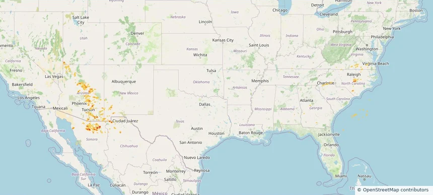
Nationwide Daily Hail, Wind & Tornado Map - June 14, 2026 — regional hail footprint preview
Storm footprint preview
Jun 13, 2026 10:00 PM to Jun 15, 2026 1:45 AM CST

Nationwide Daily Hail, Wind & Tornado Map - June 14, 2026

Hail as large as 1.75 inches was reported near 2 miles west-southwest of Dortches, NC. Wind up to 109 mph was reported near Joplin, MO. 25 tornadoes were reported, including one near 1 mile east-southeast of Fidelity, MO. The storm had 5 official hail reports.

Affected states: National, AL, AZ, AR, CA, CO, FL, GA, IL, IA, KS, KY, ME, MD, MI, MO, NV, NJ, NM, NY, NC, OH, OK, PA, SC, TN, TX, UT, VA, WV
2.0 inRadar size estimate 378,897Population Affected 170,054Houses Affected Hail · Wind · TornadoHazards FreeAccount signup
Nationwide Daily Hail, Wind & Tornado Map - June 13, 2026 — regional hail footprint preview
Storm footprint preview
Jun 12, 2026 10:00 PM to Jun 14, 2026 1:45 AM CST

Nationwide Daily Hail, Wind & Tornado Map - June 13, 2026

Hail as large as 4.00 inches was reported near 4 miles north of Winfield, KS. Wind up to 109 mph was reported near Joplin, MO. 7 tornadoes were reported, including one near 1 mile south-southwest of Avondale, MO. The storm had 23 official hail reports.

Affected states: National, AL, AZ, AR, CA, CO, FL, GA, IL, IA, KS, KY, MI, MS, MO, NE, NV, NM, NC, OK, SC, TN, TX, UT
3.5 inRadar size estimate 1,491,848Population Affected 648,975Houses Affected Hail · Wind · TornadoHazards FreeAccount signup
Nationwide Daily Hail, Wind & Tornado Map - June 9, 2026 — regional hail footprint preview
Storm footprint preview
Jun 8, 2026 10:00 PM to Jun 10, 2026 1:45 AM CST

Nationwide Daily Hail, Wind & Tornado Map - June 9, 2026

Hail as large as 4.00 inches was reported near 13 miles south of Bethune, CO. Wind up to 128 mph was reported near 1 mile west-northwest of Gypsum, KS. 6 tornadoes were reported, including one near 2 miles southwest of Grand Ledge, MI. The storm had 18 official hail reports.

Affected states: National, AL, AR, CO, GA, ID, IL, IN, IA, KS, KY, MI, MN, MO, MT, NE, NM, NY, ND, OH, OK, SD, TN, TX, UT, WY
2.96 inRadar size estimate 565,178Population Affected 249,545Houses Affected Hail · Wind · TornadoHazards FreeAccount signup
Nationwide Daily Hail, Wind & Tornado Map - May 17, 2026 — regional hail footprint preview
Storm footprint preview
May 16, 2026 10:00 PM to May 18, 2026 2:00 AM CST

Nationwide Daily Hail, Wind & Tornado Map - May 17, 2026

Hail as large as 3.50 inches was reported near 1 mile west of Palmer, NE. Wind up to 104 mph was reported near Concordia, KS. 41 tornadoes were reported, including one near 2 miles west of Davis, SD. The storm had 49 official hail reports.

Affected states: National, AR, CO, FL, GA, IA, KS, ME, MI, MN, MS, MO, NE, NM, SD, TX, UT, WI
3.5 inRadar size estimate 1,277,860Population Affected 553,054Houses Affected Hail · Wind · TornadoHazards FreeAccount signup
Historical Hail — 2026-04-11 — regional hail footprint preview
Storm footprint preview
Apr 11, 2026 7:00 AM to Apr 12, 2026 7:00 AM CST

Historical Hail — 2026-04-11

Hail as large as 1.50 inches was reported near Mt Hope, KANSAS. Wind up to 96 mph was reported near 10 miles northeast of Atlantic City, WY. 2 tornadoes were reported, including one near 4 miles west-southwest of Garden City, UT. The storm had 4 official hail reports.

Affected states: National, CO, ID, IA, KS, MN, MO, NE, NM, OK, SD, UT, WY
1.96 inRadar size estimate 12,404Population Affected 5,421Houses Affected Hail · Wind · TornadoHazards FreeAccount signup
Historical Hail — 2025-11-19 — regional hail footprint preview
Storm footprint preview
Nov 19, 2025 6:00 AM to Nov 20, 2025 6:00 AM CST

Historical Hail — 2025-11-19

Hail as large as 1.00 inches was reported near Helena, ARIZONA. Wind up to 71 mph was reported near 4 miles northeast of Geronimo, OK. 3 tornadoes were reported, including one near Maricopa, ARIZONA. The storm had 3 official hail reports.

Affected states: National, AZ, KS, OK, TX, UT
1.97 inRadar size estimate 314,579Population Affected 127,343Houses Affected Hail · Wind · TornadoHazards FreeAccount signup
Historical Hail — 2025-09-25 — regional hail footprint preview
Storm footprint preview
Sep 25, 2025 7:00 AM to Sep 26, 2025 7:00 AM CST

Historical Hail — 2025-09-25

Hail as large as 1.00 inches was reported near Miami, ARIZONA. Wind up to 81 mph was reported near Howard, ARKANSAS. 2 tornadoes were reported, including one near Bossier, LOUISIANA. The storm had 4 official hail reports.

Affected states: National, AZ, NM, NC, SC, TX, UT, VA
2.11 inRadar size estimate 92,675Population Affected 36,550Houses Affected Hail · Wind · TornadoHazards FreeAccount signup
Historical Hail — 2025-09-16 — regional hail footprint preview
Storm footprint preview
Sep 16, 2025 7:00 AM to Sep 17, 2025 7:00 AM CST

Historical Hail — 2025-09-16

Hail as large as 3.00 inches was reported near Mc Cook, NEBRASKA. Wind up to 93 mph was reported near 6 miles east of Storrie Lake State, NM. 8 tornadoes were reported, including one near Mckenzie, NORTH DAKOTA. The storm had 27 official hail reports.

Affected states: National, AZ, AR, CO, IA, KS, LA, MN, MS, MO, MT, NE, NM, OK, SD, TX, UT, WI, WY
3.0 inRadar size estimate 323,914Population Affected 147,507Houses Affected Hail · Wind · TornadoHazards FreeAccount signup
Historical Hail — 2025-09-12 — regional hail footprint preview
Storm footprint preview
Sep 12, 2025 7:00 AM to Sep 13, 2025 7:00 AM CST

Historical Hail — 2025-09-12

Hail as large as 1.50 inches was reported near (Brd)Weiland Fld Bra, MINNESOTA. Wind up to 83 mph was reported near 8 miles east-northeast of Road Forks, NM. 17 tornadoes were reported, including one near San Juan, UTAH. The storm had 12 official hail reports.

Affected states: National, AZ, CO, IA, KS, MN, MT, NE, NM, ND, SD, UT, WI, WY
3.5 inRadar size estimate 100,963Population Affected 48,187Houses Affected Hail · Wind · TornadoHazards FreeAccount signup
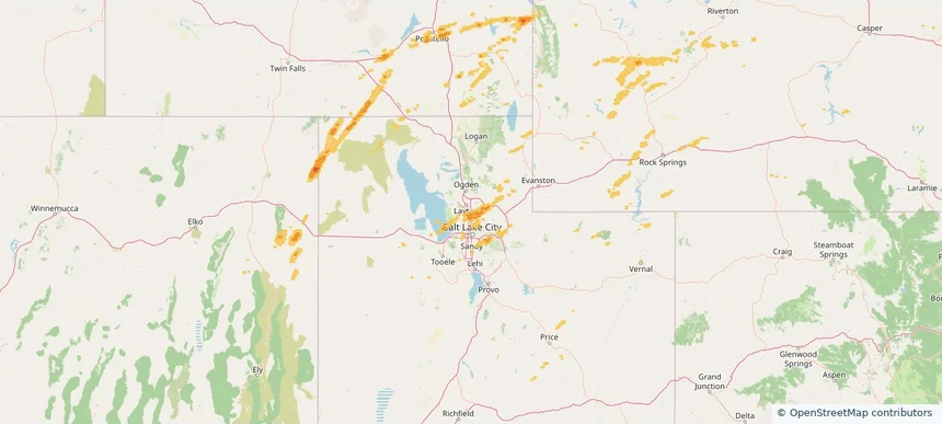
Bountiful, UT — September 07, 2025 — regional hail footprint preview
Storm footprint preview

Local hail summary for the Bountiful area: 9.92 square miles of estimated ground-hail footprint; highest mapped band 1+ inches. 0 official hail report(s) within the summary area. Exposure estimates are not confirmed property damage. Open the map to explore the full coverage included in your access. Statistics cover the mapped hail footprint inside the Census boundary of Bountiful, UT, not the entire region. The place had 45,762 residents in the 2020 Census. A boundary intersection does not mean the whole community was hit. Estimated housing exposure: 724 units in 1-inch-or-larger bands, including 0 in 1.5-inch-or-larger bands and 0 in 2-inch-or-larger bands.

Affected states: Bountiful area, UT
1+ inRadar size estimate 33,971Population Affected 11,307Houses Affected HailHazards FreeAccount signup
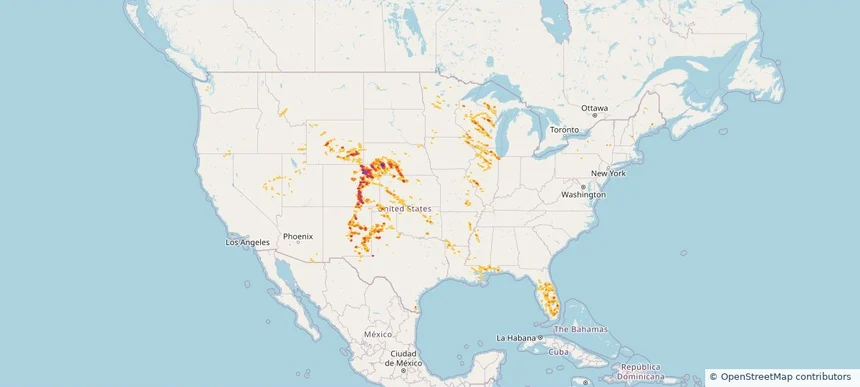
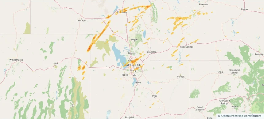
North Salt Lake, UT — September 07, 2025 — regional hail footprint preview
Storm footprint preview

Local hail summary for the North Salt Lake area: 3.79 square miles of estimated ground-hail footprint; highest mapped band 1+ inches. 0 official hail report(s) within the summary area. Exposure estimates are not confirmed property damage. Open the map to explore the full coverage included in your access. Statistics cover the mapped hail footprint inside the Census boundary of North Salt Lake, UT, not the entire region. The place had 21,907 residents in the 2020 Census. A boundary intersection does not mean the whole community was hit. Estimated housing exposure: 568 units in 1-inch-or-larger bands, including 0 in 1.5-inch-or-larger bands and 0 in 2-inch-or-larger bands.

Affected states: North Salt Lake area, UT
1+ inRadar size estimate 10,199Population Affected 3,269Houses Affected HailHazards FreeAccount signup
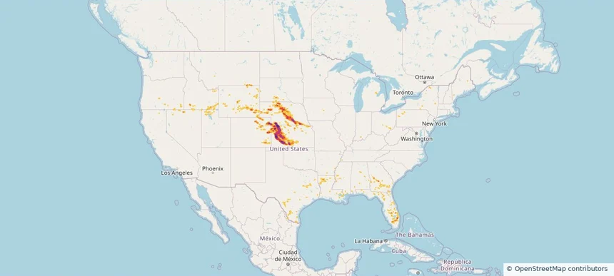
Historical Hail — 2025-09-05 — regional hail footprint preview
Storm footprint preview
Sep 5, 2025 7:00 AM to Sep 6, 2025 7:00 AM CST

Historical Hail — 2025-09-05

Hail as large as 2.50 inches was reported near 6 miles north of Gainesboro, TN. Wind up to 90 mph was reported near Ar, AR. The storm had 17 hail reports.

Affected states: National, AL, AZ, AR, CA, GA, KY, LA, MS, NV, OH, OK, TN, TX, UT, WV
2.5 inRadar size estimate 553,843Population Affected 206,911Houses Affected Hail · WindHazards FreeAccount signup
Historical Hail — 2025-07-30 — regional hail footprint preview
Storm footprint preview
Jul 30, 2025 7:00 AM to Jul 31, 2025 7:00 AM CST

Historical Hail — 2025-07-30

Hail as large as 1.00 inches was reported near Mooar, IOWA. Wind up to 83 mph was reported near 1 mile west-southwest of Allison, NM. 12 tornadoes were reported, including one near Bernalillo, NEW MEXICO. The storm had 2 official hail reports.

Affected states: National, AL, AZ, AR, CA, CO, CT, FL, GA, ID, IL, IN, IA, KS, LA, MS, MO, NE, NV, NM, NY, OH, OK, OR, PA, TN, TX, UT, VA, WV, WY
2.5 inRadar size estimate 508,659Population Affected 225,784Houses Affected Hail · Wind · TornadoHazards FreeAccount signup
Centerville, UT — July 04, 2025 — regional hail footprint preview
Storm footprint preview

Local hail summary for the Centerville area: 4.10 square miles of estimated ground-hail footprint; highest mapped band 1+ inches. 0 official hail report(s) within the summary area. Exposure estimates are not confirmed property damage. Open the map to explore the full coverage included in your access. Statistics cover the mapped hail footprint inside the Census boundary of Centerville, UT, not the entire region. The place had 16,884 residents in the 2020 Census. A boundary intersection does not mean the whole community was hit. Estimated housing exposure: 1,260 units in 1-inch-or-larger bands, including 0 in 1.5-inch-or-larger bands and 0 in 2-inch-or-larger bands.

Affected states: Centerville area, UT
1+ inRadar size estimate 10,632Population Affected 3,363Houses Affected HailHazards FreeAccount signup
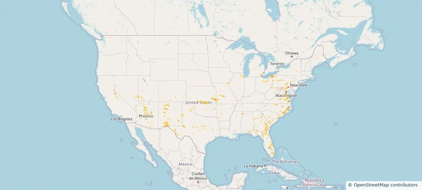
Farmington, UT — July 04, 2025 — regional hail footprint preview
Storm footprint preview

Local hail summary for the Farmington area: 9.15 square miles of estimated ground-hail footprint; highest mapped band 1.5+ inches. 0 official hail report(s) within the summary area. Exposure estimates are not confirmed property damage. Open the map to explore the full coverage included in your access. Statistics cover the mapped hail footprint inside the Census boundary of Farmington, UT, not the entire region. The place had 24,531 residents in the 2020 Census. A boundary intersection does not mean the whole community was hit. Estimated housing exposure: 4,260 units in 1-inch-or-larger bands, including 0 in 1.5-inch-or-larger bands and 0 in 2-inch-or-larger bands.

Affected states: Farmington area, UT
1.5+ inRadar size estimate 21,681Population Affected 6,522Houses Affected HailHazards FreeAccount signup
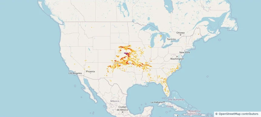
Kaysville, UT — July 04, 2025 — regional hail footprint preview
Storm footprint preview

Local hail summary for the Kaysville area: 0.55 square miles of estimated ground-hail footprint; highest mapped band 1+ inches. 0 official hail report(s) within the summary area. Exposure estimates are not confirmed property damage. Open the map to explore the full coverage included in your access. Statistics cover the mapped hail footprint inside the Census boundary of Kaysville, UT, not the entire region. The place had 32,945 residents in the 2020 Census. A boundary intersection does not mean the whole community was hit. Estimated housing exposure: 192 units in 1-inch-or-larger bands, including 0 in 1.5-inch-or-larger bands and 0 in 2-inch-or-larger bands.

Affected states: Kaysville area, UT
1+ inRadar size estimate 1,018Population Affected 231Houses Affected HailHazards FreeAccount signup
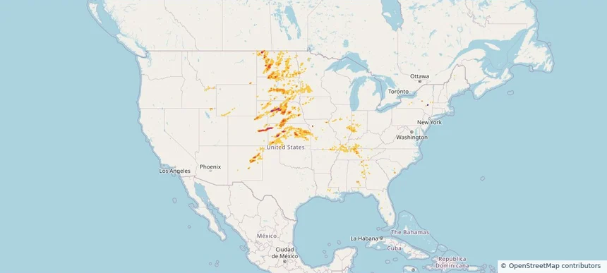
Historical Hail — 2025-07-04 — regional hail footprint preview
Storm footprint preview
Jul 4, 2025 7:00 AM to Jul 5, 2025 7:00 AM CST

Historical Hail — 2025-07-04

Hail as large as 1.00 inches was reported near (Aff)Usaf Acdmy Colo, COLORADO. Wind up to 93 mph was reported near Aberdeen Regional Airpo, SD. 4 tornadoes were reported, including one near Cheyenne, NEBRASKA. The storm had 2 official hail reports.

Affected states: National, CO, ID, KS, MN, MT, NE, NV, ND, OK, SD, UT, WY
2.86 inRadar size estimate 95,354Population Affected 36,720Houses Affected Hail · Wind · TornadoHazards FreeAccount signup
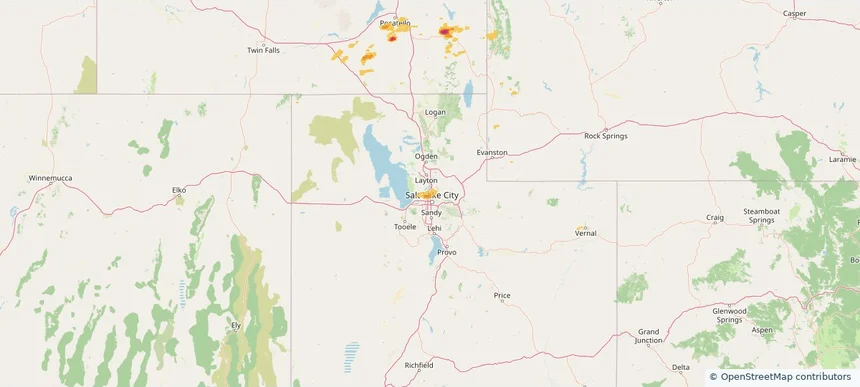
Historical Hail — 2025-06-10 — regional hail footprint preview
Storm footprint preview
Jun 10, 2025 7:00 AM to Jun 11, 2025 7:00 AM CST

Historical Hail — 2025-06-10

Hail as large as 1.25 inches was reported near Andrews Co Arpt, TEXAS. Wind up to 107 mph was reported near 6 miles west of Dryden, TX. 20 tornadoes were reported, including one near Vermilion, LOUISIANA. The storm had 4 official hail reports.

Affected states: National, AL, FL, GA, ID, IL, IA, LA, MN, MS, MT, NM, NC, OK, SC, SD, TX, UT, WY
5.91 inRadar size estimate 734,260Population Affected 300,184Houses Affected Hail · Wind · TornadoHazards FreeAccount signup
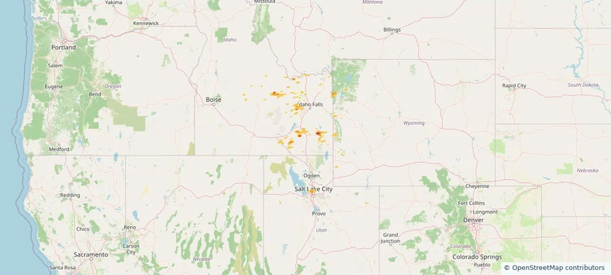
Historical Hail — 2025-06-06 — regional hail footprint preview
Storm footprint preview
Jun 6, 2025 7:00 AM to Jun 7, 2025 7:00 AM CST

Historical Hail — 2025-06-06

Hail as large as 4.00 inches was reported near Hammon, OKLAHOMA. Wind up to 115 mph was reported near Tx, TX. 77 tornadoes were reported, including one near Roosevelt, NEW MEXICO. The storm had 30 official hail reports.

Affected states: National, AL, AR, CO, CT, FL, GA, IL, IN, KS, KY, MA, MS, MO, NE, NH, NM, NY, NC, OH, OK, PA, TN, TX, UT, VT, VA, WV, WY
4.68 inRadar size estimate 697,933Population Affected 305,362Houses Affected Hail · Wind · TornadoHazards FreeAccount signup
Page 4 of 5
‹ 1 3 4 5 ›

Frequently asked questions

Can I search hail maps by coverage area?

Yes. The storm library supports coverage-area filtering so you can find hail maps and hail swaths in a target service area.

What kinds of storms appear in the HailMapr library?

The library focuses on published hail events, including ready storm maps and live storms once hail has been detected and a public swath is available.

Are HailMapr storm pages useful for roofers and adjusters?

Yes. They are built to help roofers, adjusters, restoration teams, and property owners review storm footprints before purchase.