Storm library

Browse live and recent hail maps.

Review storm footprints, hail swaths, reports, and replay access. Create a free account to save your setup and move into map access when a storm matters.

Search filters
Clear
Newest storms first by default.
Don't see your storm? Request a qualifying storm map and we'll email you when it is ready.
Showing 73-96 of 114 storms · Page 4 of 5
‹ 1 3 4 5 ›
Request a storm map

Tell us about the storm and we'll build the map. Once it's published you'll get an email and can purchase it from the library — just like any other event.

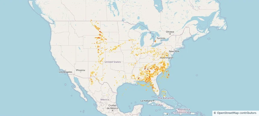
Nationwide Daily Hail, Wind & Tornado Map - May 26, 2026 — regional hail footprint preview
Storm footprint preview
May 25, 2026 10:00 PM to May 27, 2026 2:00 AM CST

Nationwide Daily Hail, Wind & Tornado Map - May 26, 2026

Hail as large as 2.00 inches was reported near 2 miles west of Lbj State Park, TX. Wind up to 91 mph was reported near 2 miles northwest of Batesville, TX. 6 tornadoes were reported, including one near 2 miles north-northeast of Parrish, FL. The storm had 9 official hail reports.

Affected states: National, AR, FL, GA, ID, IA, KY, LA, ME, MI, MN, MS, MT, NE, NM, ND, OK, SC, SD, TX, WI, WY
3.0 inRadar size estimate 188,730Population Affected 83,448Houses Affected Hail · Wind · TornadoHazards FreeAccount signup
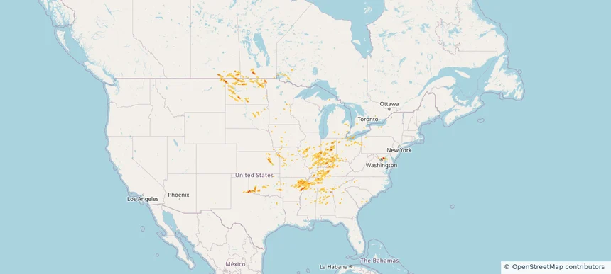
Nationwide Daily Hail, Wind & Tornado Map - May 24, 2026 — regional hail footprint preview
Storm footprint preview
May 23, 2026 10:00 PM to May 25, 2026 2:00 AM CST

Nationwide Daily Hail, Wind & Tornado Map - May 24, 2026

Hail as large as 2.00 inches was reported near 7 miles east of Tripp, SD. Wind up to 86 mph was reported near 10 miles southwest of Paducah, TX. 2 tornadoes were reported, including one near 2 miles southwest of Town 'N' Country, FL. The storm had 13 official hail reports.

Affected states: National, AL, AZ, FL, GA, IA, KY, MN, NE, NM, OK, SC, SD, TN, TX, WV, WY
1.95 inRadar size estimate 739,375Population Affected 301,665Houses Affected Hail · Wind · TornadoHazards FreeAccount signup
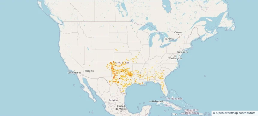
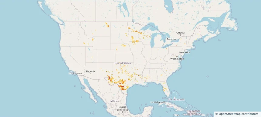
Nationwide Daily Hail, Wind & Tornado Map - May 23, 2026 — regional hail footprint preview
Storm footprint preview
May 22, 2026 10:00 PM to May 24, 2026 2:00 AM CST

Nationwide Daily Hail, Wind & Tornado Map - May 23, 2026

Hail as large as 2.00 inches was reported near 4 miles west of Tahoka, TX. Wind up to 86 mph was reported near 3 miles south-southwest of Jonesville, LA. 3 tornadoes were reported, including one near 5 miles northwest of Tokio, TX. The storm had 10 official hail reports.

Affected states: National, AL, AR, CO, FL, GA, KS, LA, MS, MO, NE, NM, OK, SC, TN, TX
2.5 inRadar size estimate 1,082,753Population Affected 460,182Houses Affected Hail · Wind · TornadoHazards FreeAccount signup
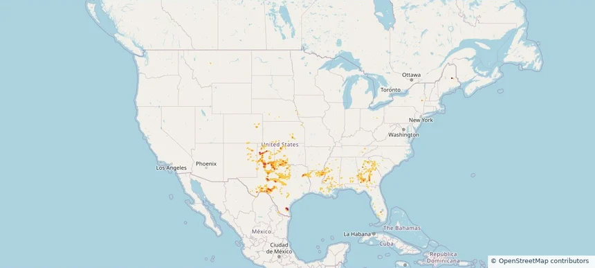
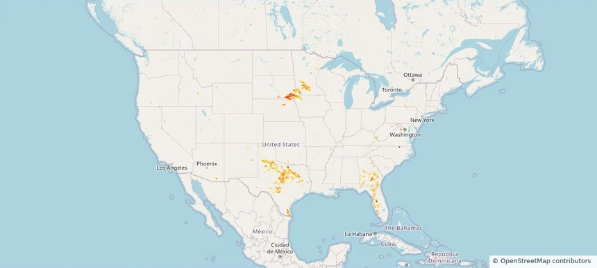
Nationwide Daily Hail, Wind & Tornado Map - May 22, 2026 — regional hail footprint preview
Storm footprint preview
May 21, 2026 10:00 PM to May 23, 2026 2:00 AM CST

Nationwide Daily Hail, Wind & Tornado Map - May 22, 2026

Hail as large as 2.75 inches was reported near 1 mile east-northeast of Bushland, TX. Wind up to 85 mph was reported near 1 mile north of Shields, TX. 23 tornadoes were reported, including one near 5 miles south-southeast of Raymond, MS. The storm had 8 official hail reports.

Affected states: National, AL, CO, FL, GA, IA, KS, KY, LA, ME, MS, NE, NM, NY, OK, SC, TN, TX
3.0 inRadar size estimate 335,069Population Affected 142,496Houses Affected Hail · Wind · TornadoHazards FreeAccount signup
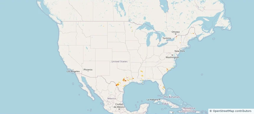
Nationwide Daily Hail, Wind & Tornado Map - May 11, 2026 — regional hail footprint preview
Storm footprint preview
May 10, 2026 10:00 PM to May 12, 2026 2:00 AM CST

Nationwide Daily Hail, Wind & Tornado Map - May 11, 2026

Hail as large as 1.75 inches was reported near Green Sea, SC. Wind up to 97 mph was reported near 1 mile east-southeast of Cc Nas, TX. A tornado was reported near 3 miles southwest of Lutcher, LA. The storm had 1 official hail report.

Affected states: National, FL, LA, MN, MS, NY, NC, SC, TX
2.5 inRadar size estimate 136,109Population Affected 57,650Houses Affected Hail · Wind · TornadoHazards FreeAccount signup
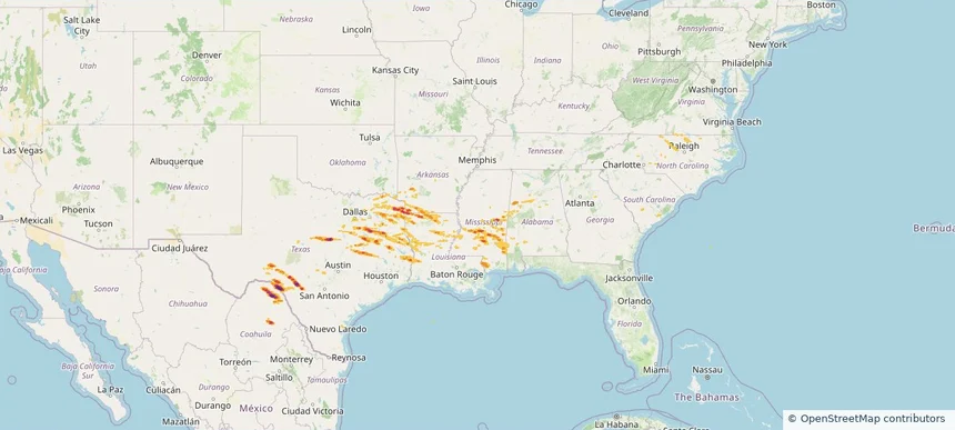
Historical Hail — 2026-04-29 — regional hail footprint preview
Storm footprint preview
Apr 29, 2026 7:00 AM to Apr 30, 2026 7:00 AM CST

Historical Hail — 2026-04-29

Hail as large as 5.00 inches was reported near Camp Wood, TEXAS. Wind up to 92 mph was reported near 4 miles north-northeast of Sharon, MS. 2 tornadoes were reported, including one near 3 miles northeast of Fayetteville, WV. The storm had 16 official hail reports.

Affected states: National, AL, AR, LA, MS, NC, OK, SC, TX, VA, WV
4.68 inRadar size estimate 473,847Population Affected 201,155Houses Affected Hail · Wind · TornadoHazards FreeAccount signup
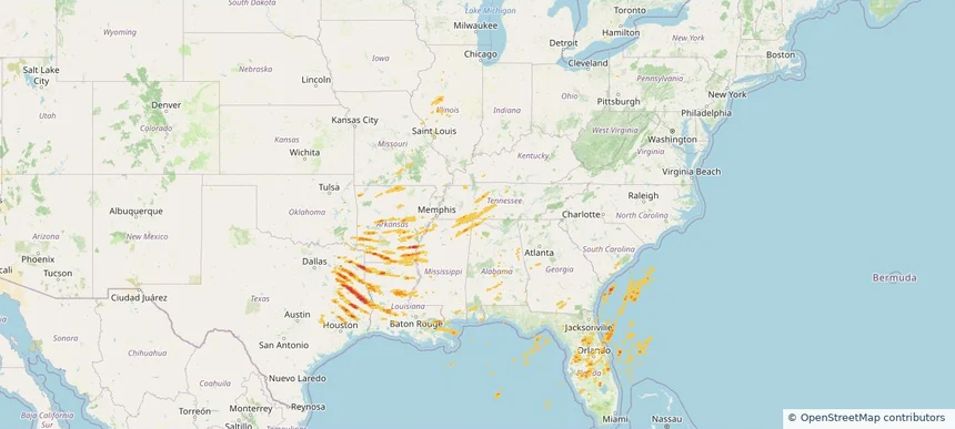
Historical Hail — 2026-03-15 — regional hail footprint preview
Storm footprint preview
Mar 15, 2026 7:00 AM to Mar 16, 2026 7:00 AM CST

Historical Hail — 2026-03-15

Hail as large as 2.00 inches was reported near Rohwer, ARKANSAS. Wind up to 104 mph was reported near 3 miles west-northwest of Whistler, MS. 67 tornadoes were reported, including one near 4 miles north-northeast of Cabool, MO. The storm had 22 official hail reports.

Affected states: National, AL, AR, FL, GA, IL, IN, KY, LA, MI, MS, MO, NC, OH, OK, SC, TN, TX, VA, WV
2.46 inRadar size estimate 988,812Population Affected 434,106Houses Affected Hail · Wind · TornadoHazards FreeAccount signup
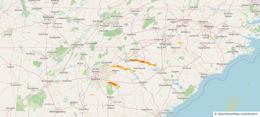
Anderson, SC — November 08, 2025 — regional hail footprint preview
Storm footprint preview

Local hail summary for the Anderson area: 2.09 square miles of estimated ground-hail footprint; highest mapped band 1+ inches. 0 official hail report(s) within the summary area. Exposure estimates are not confirmed property damage. Open the map to explore the full coverage included in your access. Statistics cover the mapped hail footprint inside the Census boundary of Anderson, SC, not the entire region. The place had 28,106 residents in the 2020 Census. A boundary intersection does not mean the whole community was hit. Estimated housing exposure: 303 units in 1-inch-or-larger bands, including 0 in 1.5-inch-or-larger bands and 0 in 2-inch-or-larger bands.

Affected states: Anderson area, SC
1+ inRadar size estimate 3,351Population Affected 1,493Houses Affected HailHazards FreeAccount signup
Historical Hail — 2025-09-25 — regional hail footprint preview
Storm footprint preview
Sep 25, 2025 7:00 AM to Sep 26, 2025 7:00 AM CST

Historical Hail — 2025-09-25

Hail as large as 1.00 inches was reported near Miami, ARIZONA. Wind up to 81 mph was reported near Howard, ARKANSAS. 2 tornadoes were reported, including one near Bossier, LOUISIANA. The storm had 4 official hail reports.

Affected states: National, AZ, NM, NC, SC, TX, UT, VA
2.11 inRadar size estimate 92,675Population Affected 36,550Houses Affected Hail · Wind · TornadoHazards FreeAccount signup
Historical Hail — 2025-09-20 — regional hail footprint preview
Storm footprint preview
Sep 20, 2025 7:00 AM to Sep 21, 2025 7:00 AM CST

Historical Hail — 2025-09-20

Hail as large as 1.75 inches was reported near Turley, OKLAHOMA. Wind up to 97 mph was reported near 4 miles east of Waukomis, OK. 5 tornadoes were reported, including one near Crawford, WISCONSIN. The storm had 6 official hail reports.

Affected states: National, AR, CO, IL, IN, KS, KY, MI, MO, NE, NM, OH, OK, PA, SC, TN, TX, VA, WV, WI
2.5 inRadar size estimate 493,405Population Affected 221,716Houses Affected Hail · Wind · TornadoHazards FreeAccount signup
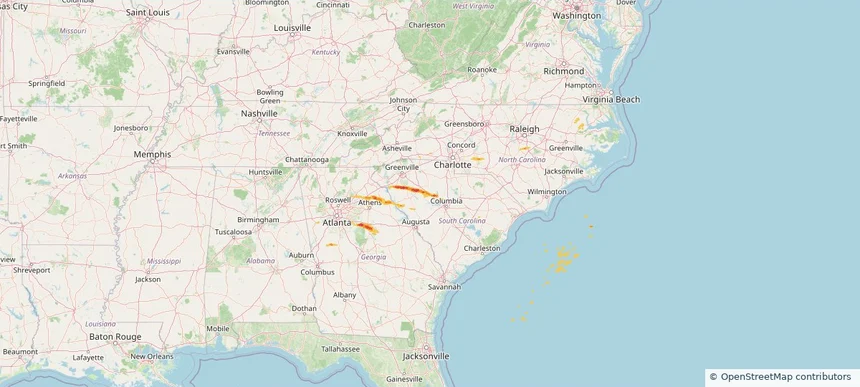
Historical Hail — 2025-09-06 — regional hail footprint preview
Storm footprint preview
Sep 6, 2025 7:00 AM to Sep 7, 2025 7:00 AM CST

Historical Hail — 2025-09-06

Hail as large as 1.00 inches was reported near Oak Grove, GEORGIA. Wind up to 74 mph was reported near Westfield-Barnes Ap, MA. 12 tornadoes were reported, including one near Worcester, MASSACHUSETTS. The storm had 6 official hail reports.

Affected states: National, AL, CT, DE, GA, ME, MD, MA, NH, NJ, NY, NC, PA, SC, VA
1.47 inRadar size estimate 497,283Population Affected 191,578Houses Affected Hail · Wind · TornadoHazards FreeAccount signup
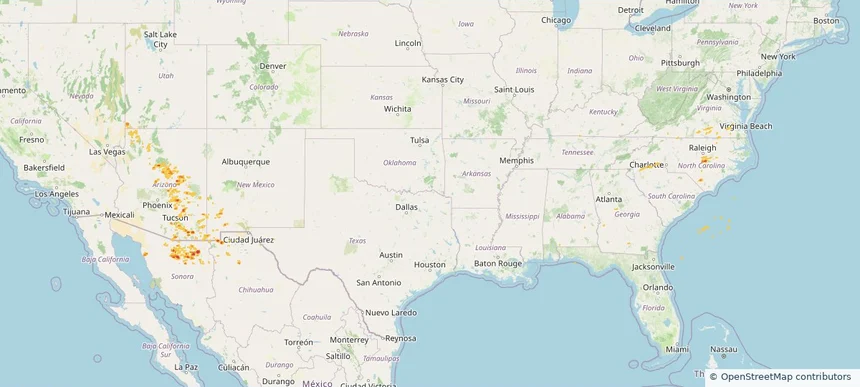
Historical Hail — 2025-07-29 — regional hail footprint preview
Storm footprint preview
Jul 29, 2025 7:00 AM to Jul 30, 2025 7:00 AM CST

Historical Hail — 2025-07-29

Hail as large as 1.75 inches was reported near Volborg, MONTANA. Wind up to 100 mph was reported near Nd, ND. 8 tornadoes were reported, including one near Lyon, IOWA. The storm had 7 official hail reports.

Affected states: National, AL, AZ, AR, CA, CO, FL, GA, ID, IL, IA, KS, LA, MN, MS, MO, MT, NE, NV, NM, ND, OR, SC, SD, TN, TX, UT, WY
4.18 inRadar size estimate 704,974Population Affected 317,473Houses Affected Hail · Wind · TornadoHazards FreeAccount signup
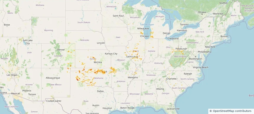
Historical Hail — 2025-07-14 — regional hail footprint preview
Storm footprint preview
Jul 14, 2025 7:00 AM to Jul 15, 2025 7:00 AM CST

Historical Hail — 2025-07-14

Hail as large as 2.00 inches was reported near Ellendale, NORTH DAKOTA. Wind up to 115 mph was reported near 9 miles west of Onida, SD. 14 tornadoes were reported, including one near Cherry, NEBRASKA. The storm had 6 official hail reports.

Affected states: National, CO, GA, LA, ME, MD, MI, MN, MS, MT, NE, NH, NM, NY, NC, ND, OH, PA, SC, SD, TN, TX, VT, VA, WI, WY
3.0 inRadar size estimate 158,069Population Affected 72,681Houses Affected Hail · Wind · TornadoHazards FreeAccount signup
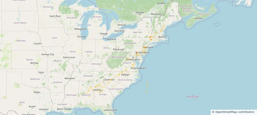
Historical Hail — 2025-07-12 — regional hail footprint preview
Storm footprint preview
Jul 12, 2025 7:00 AM to Jul 13, 2025 7:00 AM CST

Historical Hail — 2025-07-12

Hail as large as 2.25 inches was reported near Buffalo, KANSAS. Wind up to 76 mph was reported near 4 miles northeast of South Valley, NM. 10 tornadoes were reported, including one near Page, IOWA. The storm had 7 official hail reports.

Affected states: National, AL, AR, CO, FL, GA, IL, IN, KS, KY, LA, MD, MS, MO, NM, NC, OH, OK, SC, TN, TX, VA, WV
2.42 inRadar size estimate 652,057Population Affected 281,802Houses Affected Hail · Wind · TornadoHazards FreeAccount signup
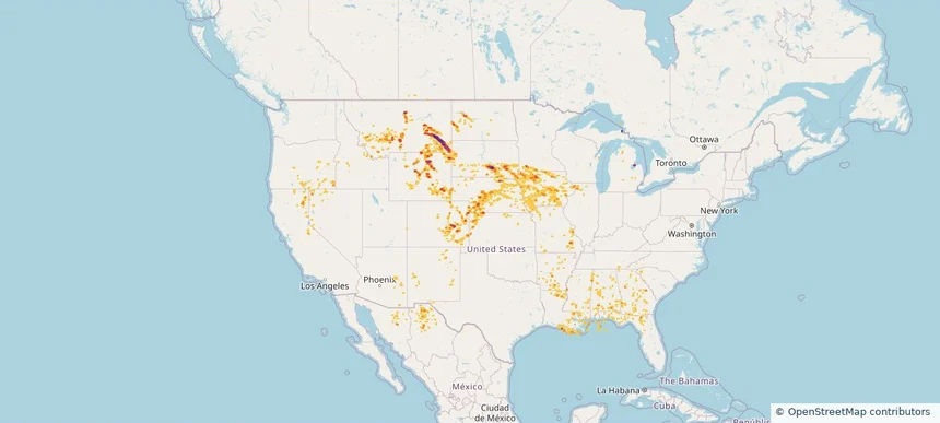
Historical Hail — 2025-07-11 — regional hail footprint preview
Storm footprint preview
Jul 11, 2025 7:00 AM to Jul 12, 2025 7:00 AM CST

Historical Hail — 2025-07-11

Hail as large as 2.00 inches was reported near Grover, COLORADO. Wind up to 98 mph was reported near 1 mile south-southwest of Cascade, IA. 40 tornadoes were reported, including one near Jones, IOWA. The storm had 23 official hail reports.

Affected states: National, AL, AR, CO, FL, GA, IL, IA, KS, LA, MD, MA, MI, MN, MS, MO, NE, NH, NM, NY, NC, OK, PA, SC, TN, TX, VT, VA, WV, WI, WY
3.0 inRadar size estimate 961,330Population Affected 415,893Houses Affected Hail · Wind · TornadoHazards FreeAccount signup
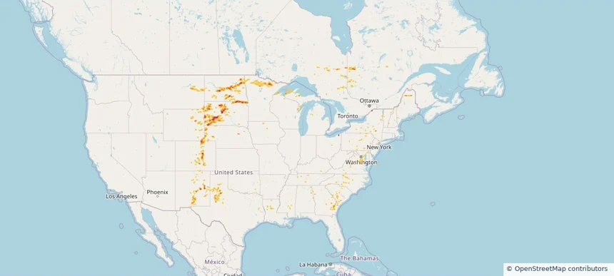
Historical Hail — 2025-07-10 — regional hail footprint preview
Storm footprint preview
Jul 10, 2025 7:00 AM to Jul 11, 2025 7:00 AM CST

Historical Hail — 2025-07-10

Hail as large as 2.50 inches was reported near Maxbass, NORTH DAKOTA. Wind up to 98 mph was reported near Ne, NE. 14 tornadoes were reported, including one near Jones, IOWA. The storm had 16 official hail reports.

Affected states: National, CO, GA, IL, IA, KS, ME, MN, MS, NE, NH, NM, NY, NC, ND, OH, OK, SC, SD, TX, VT, WI, WY
3.0 inRadar size estimate 963,720Population Affected 426,595Houses Affected Hail · Wind · TornadoHazards FreeAccount signup
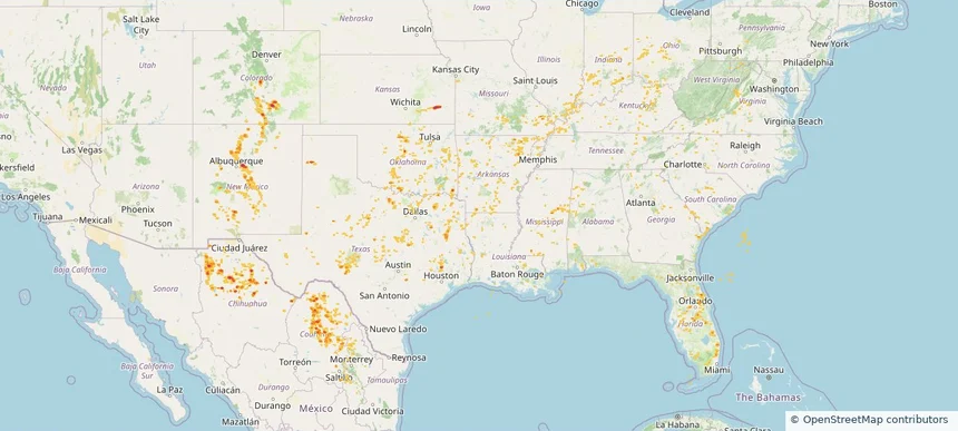
Historical Hail — 2025-07-09 — regional hail footprint preview
Storm footprint preview
Jul 9, 2025 7:00 AM to Jul 10, 2025 7:00 AM CST

Historical Hail — 2025-07-09

Hail as large as 2.50 inches was reported near Lyman, SOUTH DAKOTA. Wind up to 93 mph was reported near 4 miles east-southeast of Akaska, SD. 11 tornadoes were reported, including one near Jones, IOWA. The storm had 9 official hail reports.

Affected states: National, AL, AR, CO, GA, IL, IA, KS, KY, LA, MI, MN, MS, MT, NE, NC, ND, OH, SC, SD, TN, TX, VA, WV, WY
5.91 inRadar size estimate 793,111Population Affected 336,657Houses Affected Hail · Wind · TornadoHazards FreeAccount signup
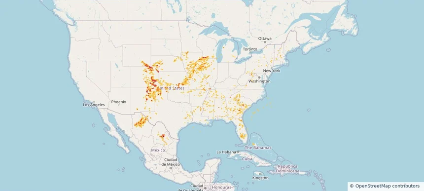
Historical Hail — 2025-07-08 — regional hail footprint preview
Storm footprint preview
Jul 8, 2025 7:00 AM to Jul 9, 2025 7:00 AM CST

Historical Hail — 2025-07-08

Hail as large as 2.50 inches was reported near Howell, KANSAS. Wind up to 104 mph was reported near Yuma, COLORADO. 6 tornadoes were reported, including one near Grand Forks, NORTH DAKOTA. The storm had 15 official hail reports.

Affected states: National, AL, AR, CO, DE, GA, IL, IA, KS, KY, MD, MI, MS, MO, NE, NJ, NY, NC, ND, OK, PA, SC, SD, TN, TX, VA, WI
2.87 inRadar size estimate 1,203,318Population Affected 488,331Houses Affected Hail · Wind · TornadoHazards FreeAccount signup
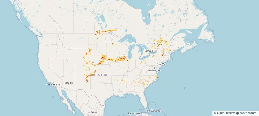
Historical Hail — 2025-06-26 — regional hail footprint preview
Storm footprint preview
Jun 26, 2025 7:00 AM to Jun 27, 2025 7:00 AM CST

Historical Hail — 2025-06-26

Hail as large as 1.00 inches was reported near Cliff, KENTUCKY. Wind up to 87 mph was reported near Wichita, KANSAS. 31 tornadoes were reported, including one near Deuel, SOUTH DAKOTA. The storm had 3 official hail reports.

Affected states: National, AL, AR, CO, GA, IL, IN, IA, KS, KY, LA, MI, MN, MS, MO, MT, NE, NM, NC, ND, OH, OK, PA, SC, SD, TN, TX, VA, WV, WI, WY
2.4 inRadar size estimate 1,147,892Population Affected 496,143Houses Affected Hail · Wind · TornadoHazards FreeAccount signup
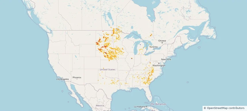
Greer, SC — June 25, 2025 — regional hail footprint preview
Storm footprint preview

Local hail summary for the Greer area: 2.30 square miles of estimated ground-hail footprint; highest mapped band 1+ inches. 0 official hail report(s) within the summary area. Exposure estimates are not confirmed property damage. Open the map to explore the full coverage included in your access. Statistics cover the mapped hail footprint inside the Census boundary of Greer, SC, not the entire region. The place had 35,308 residents in the 2020 Census. A boundary intersection does not mean the whole community was hit. Estimated housing exposure: 269 units in 1-inch-or-larger bands, including 0 in 1.5-inch-or-larger bands and 0 in 2-inch-or-larger bands.

Affected states: Greer area, SC
1+ inRadar size estimate 1,462Population Affected 605Houses Affected HailHazards FreeAccount signup
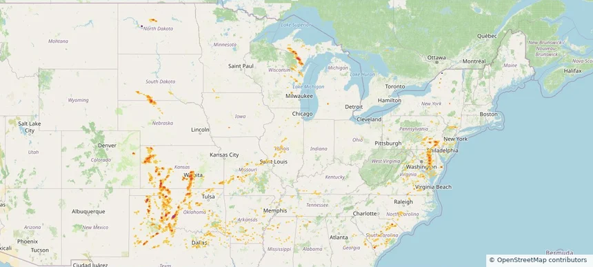
Little River, SC — June 25, 2025 — regional hail footprint preview
Storm footprint preview

Local hail summary for the Little River area: 5.36 square miles of estimated ground-hail footprint; highest mapped band 1+ inches. 0 official hail report(s) within the summary area. Exposure estimates are not confirmed property damage. Open the map to explore the full coverage included in your access. Statistics cover the mapped hail footprint inside the Census boundary of Little River, SC, not the entire region. The place had 11,711 residents in the 2020 Census. A boundary intersection does not mean the whole community was hit. Estimated housing exposure: 2,200 units in 1-inch-or-larger bands, including 0 in 1.5-inch-or-larger bands and 0 in 2-inch-or-larger bands.

Affected states: Little River area, SC
1+ inRadar size estimate 6,580Population Affected 4,212Houses Affected HailHazards FreeAccount signup
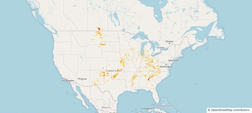
Historical Hail — 2025-06-25 — regional hail footprint preview
Storm footprint preview
Jun 25, 2025 7:00 AM to Jun 26, 2025 7:00 AM CST

Historical Hail — 2025-06-25

Hail as large as 1.75 inches was reported near Pisgah, ALABAMA. Wind up to 83 mph was reported near 4 miles east-southeast of Riverdale, NE. 58 tornadoes were reported, including one near Wabasha, MINNESOTA. The storm had 14 official hail reports.

Affected states: National, AL, AR, CO, DC, FL, GA, IL, IN, IA, KS, KY, LA, MD, MI, MN, MS, MO, MT, NE, NM, NC, ND, OH, PA, SC, SD, TN, TX, VA, WV, WI, WY
5.91 inRadar size estimate 3,218,214Population Affected 1,411,943Houses Affected Hail · Wind · TornadoHazards FreeAccount signup
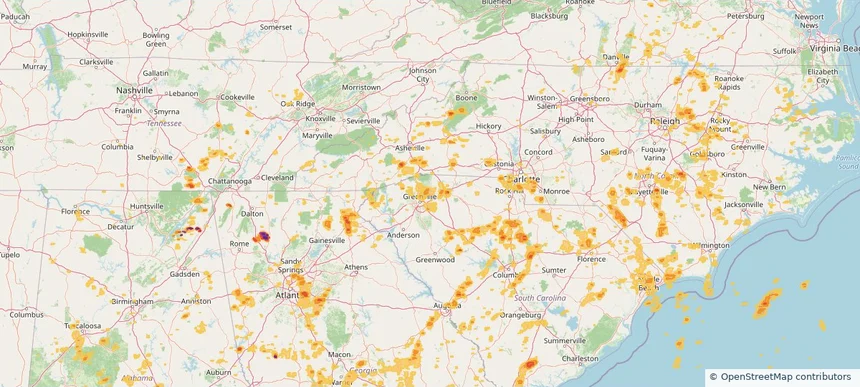
Historical Hail — 2025-06-18 — regional hail footprint preview
Storm footprint preview
Jun 18, 2025 7:00 AM to Jun 19, 2025 7:00 AM CST

Historical Hail — 2025-06-18

Hail as large as 1.25 inches was reported near Delmont, MARYLAND. Wind up to 104 mph was reported near Beltrami, MINNESOTA. 117 tornadoes were reported, including one near Converse, WYOMING. The storm had 6 official hail reports.

Affected states: National, AL, AR, DE, GA, IL, IN, IA, KS, KY, MD, MI, MN, MS, MO, MT, NY, ND, OH, OK, PA, SC, SD, TN, TX, WV
1.99 inRadar size estimate 541,839Population Affected 224,016Houses Affected Hail · Wind · TornadoHazards FreeAccount signup
Page 4 of 5
‹ 1 3 4 5 ›

Frequently asked questions

Can I search hail maps by coverage area?

Yes. The storm library supports coverage-area filtering so you can find hail maps and hail swaths in a target service area.

What kinds of storms appear in the HailMapr library?

The library focuses on published hail events, including ready storm maps and live storms once hail has been detected and a public swath is available.

Are HailMapr storm pages useful for roofers and adjusters?

Yes. They are built to help roofers, adjusters, restoration teams, and property owners review storm footprints before purchase.