Storm library

Browse live and recent hail maps.

Review storm footprints, hail swaths, reports, and replay access. Create a free account to save your setup and move into map access when a storm matters.

Search filters
Clear
Newest storms first by default.
Don't see your storm? Request a qualifying storm map and we'll email you when it is ready.
Showing 73-96 of 133 storms · Page 4 of 6
‹ 1 3 4 5 6 ›
Request a storm map

Tell us about the storm and we'll build the map. Once it's published you'll get an email and can purchase it from the library — just like any other event.

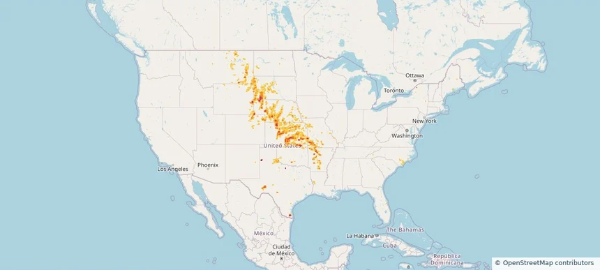
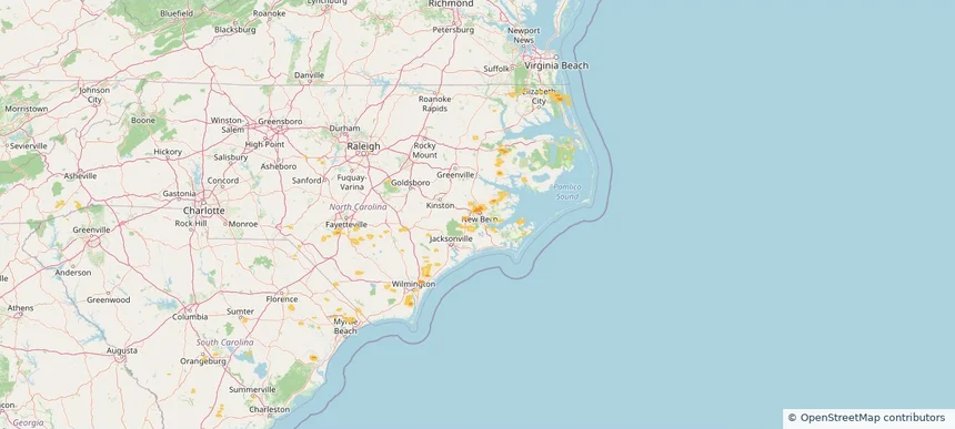
New Bern, NC — June 13, 2026 — regional hail footprint preview
Storm footprint preview

Local hail summary for the New Bern area: 6.84 square miles of estimated ground-hail footprint; highest mapped band 1+ inches. 0 official hail report(s) within the summary area. Exposure estimates are not confirmed property damage. Open the map to explore the full coverage included in your access. Statistics cover the mapped hail footprint inside the Census boundary of New Bern, NC, not the entire region. The place had 31,291 residents in the 2020 Census. A boundary intersection does not mean the whole community was hit. Estimated housing exposure: 898 units in 1-inch-or-larger bands, including 0 in 1.5-inch-or-larger bands and 0 in 2-inch-or-larger bands.

Affected states: New Bern area, NC
1+ inRadar size estimate 5,939Population Affected 2,923Houses Affected HailHazards FreeAccount signup
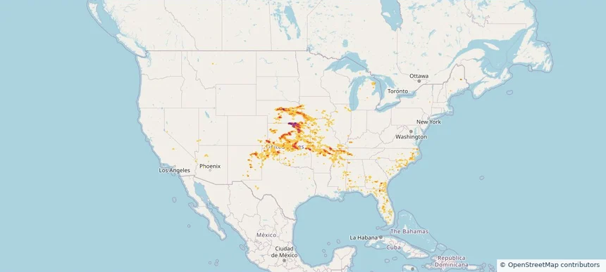
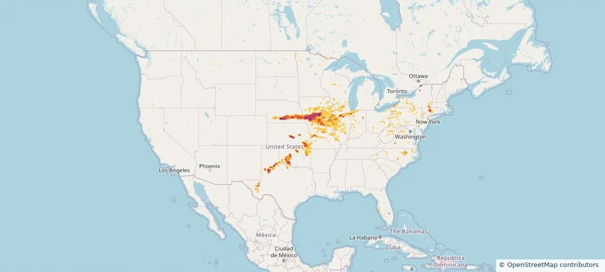
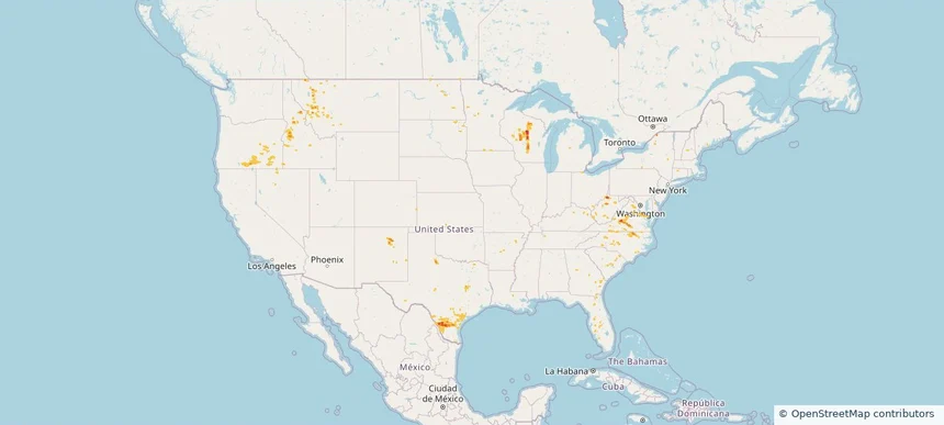
Nationwide Daily Hail, Wind & Tornado Map - June 13, 2026 — regional hail footprint preview
Storm footprint preview
Jun 12, 2026 10:00 PM to Jun 14, 2026 1:45 AM CST

Nationwide Daily Hail, Wind & Tornado Map - June 13, 2026

Hail as large as 4.00 inches was reported near 4 miles north of Winfield, KS. Wind up to 109 mph was reported near Joplin, MO. 7 tornadoes were reported, including one near 1 mile south-southwest of Avondale, MO. The storm had 23 official hail reports.

Affected states: National, AL, AZ, AR, CA, CO, FL, GA, IL, IA, KS, KY, MI, MS, MO, NE, NV, NM, NC, OK, SC, TN, TX, UT
3.5 inRadar size estimate 1,491,848Population Affected 648,975Houses Affected Hail · Wind · TornadoHazards FreeAccount signup
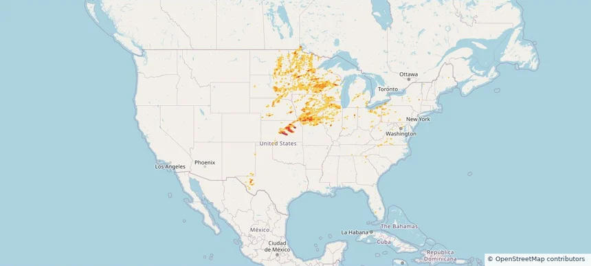
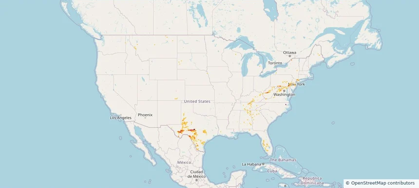
Nationwide Daily Hail, Wind & Tornado Map - June 12, 2026 — regional hail footprint preview
Storm footprint preview
Jun 11, 2026 10:00 PM to Jun 13, 2026 1:45 AM CST

Nationwide Daily Hail, Wind & Tornado Map - June 12, 2026

Hail as large as 1.75 inches was reported near 2 miles east of Bethany, MO. Wind up to 110 mph was reported near 11 miles northeast of Eva, OK. 12 tornadoes were reported, including one near 3 miles southwest of Andrews, IN. The storm had 9 official hail reports.

Affected states: National, AL, AR, CO, CT, FL, GA, IL, IN, KS, KY, LA, ME, MD, MI, MN, MS, MO, MT, NJ, NM, NY, NC, OH, OK, PA, SC, TN, TX, VT, VA, WV
3.0 inRadar size estimate 509,687Population Affected 219,038Houses Affected Hail · Wind · TornadoHazards FreeAccount signup
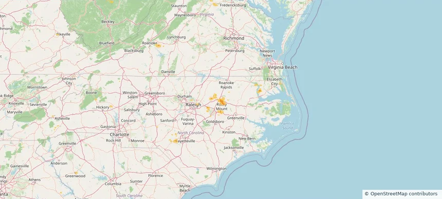
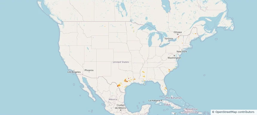
Rocky Mount, NC — June 11, 2026 — regional hail footprint preview
Storm footprint preview

Local hail summary for the Rocky Mount area: 15.65 square miles of estimated ground-hail footprint; highest mapped band 1+ inches. 0 official hail report(s) within the summary area. Exposure estimates are not confirmed property damage. Open the map to explore the full coverage included in your access. Statistics cover the mapped hail footprint inside the Census boundary of Rocky Mount, NC, not the entire region. The place had 54,341 residents in the 2020 Census. A boundary intersection does not mean the whole community was hit. Estimated housing exposure: 8,214 units in 1-inch-or-larger bands, including 0 in 1.5-inch-or-larger bands and 0 in 2-inch-or-larger bands.

Affected states: Rocky Mount area, NC
1+ inRadar size estimate 23,809Population Affected 11,942Houses Affected HailHazards FreeAccount signup
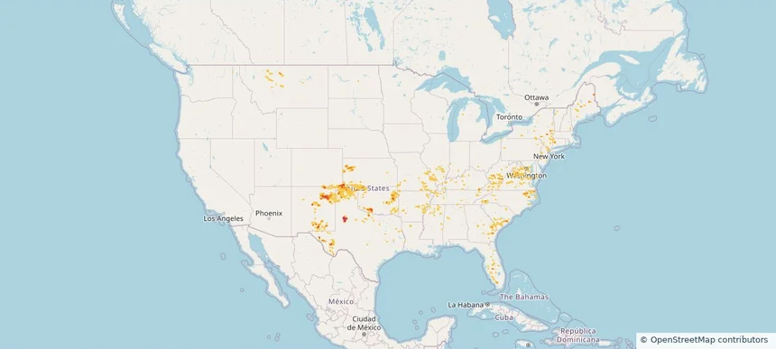
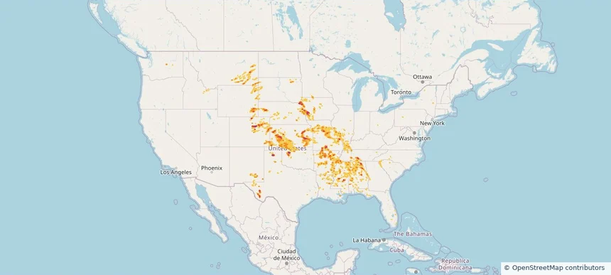
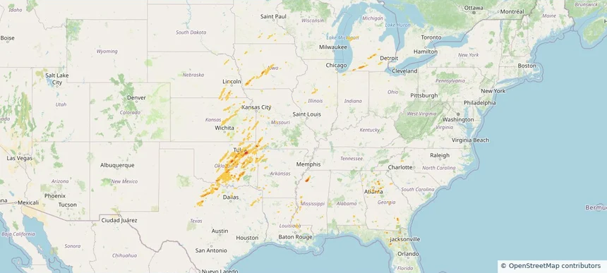
Nationwide Daily Hail, Wind & Tornado Map - June 11, 2026 — regional hail footprint preview
Storm footprint preview
Jun 10, 2026 10:00 PM to Jun 12, 2026 1:45 AM CST

Nationwide Daily Hail, Wind & Tornado Map - June 11, 2026

Hail as large as 3.50 inches was reported near Yorktown, IA. Wind up to 104 mph was reported near Essex, IA. 92 tornadoes were reported, including one near 3 miles northeast of Tallula, IL. The storm had 30 official hail reports.

Affected states: National, AR, CT, DC, FL, IL, IN, IA, KS, KY, MD, MI, MN, MO, NE, NJ, NM, NY, NC, OH, OK, PA, TX, VA, WV, WI
4.11 inRadar size estimate 2,096,539Population Affected 929,827Houses Affected Hail · Wind · TornadoHazards FreeAccount signup
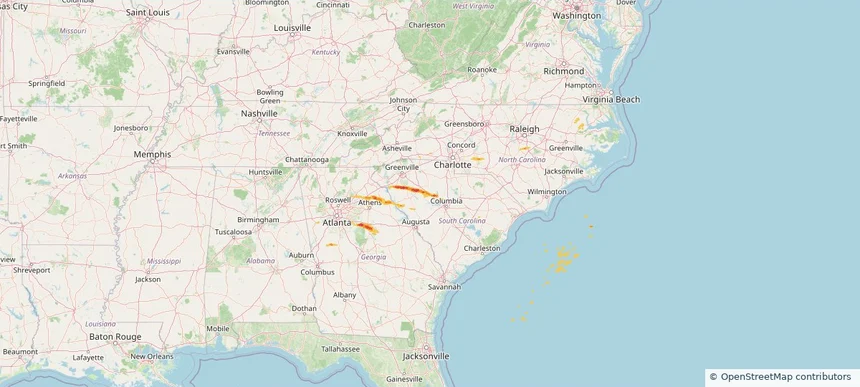
Nationwide Daily Hail, Wind & Tornado Map - June 10, 2026 — regional hail footprint preview
Storm footprint preview
Jun 9, 2026 10:00 PM to Jun 11, 2026 1:45 AM CST

Nationwide Daily Hail, Wind & Tornado Map - June 10, 2026

Hail as large as 2.75 inches was reported near 7 miles south of Little River, KS. Wind up to 108 mph was reported near 1 mile south of Wittman Field, WI. 37 tornadoes were reported, including one near Henry, SD. The storm had 40 official hail reports.

Affected states: National, CO, FL, GA, IL, IN, IA, KS, MI, MN, MO, NE, NM, NY, NC, ND, OH, OK, PA, SD, TX, VA, WV, WI
2.87 inRadar size estimate 2,657,782Population Affected 1,112,623Houses Affected Hail · Wind · TornadoHazards FreeAccount signup
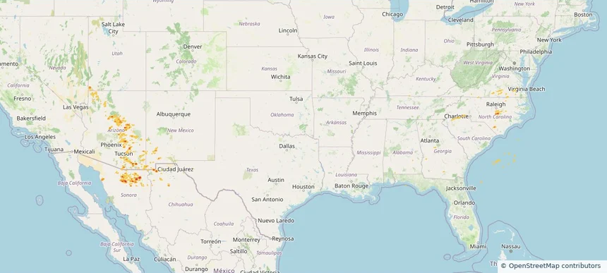
Nationwide Daily Hail, Wind & Tornado Map - June 1, 2026 — regional hail footprint preview
Storm footprint preview
May 31, 2026 10:00 PM to Jun 2, 2026 2:00 AM CST

Nationwide Daily Hail, Wind & Tornado Map - June 1, 2026

Hail as large as 3.50 inches was reported near Gridley, KS. Wind up to 94 mph was reported near Kansas City Downtown, MO. 2 tornadoes were reported, including one near 2 miles northwest of Madison, KS. The storm had 37 official hail reports.

Affected states: National, AL, AR, CO, FL, GA, ID, IL, IA, KS, KY, LA, MN, MS, MO, MT, NE, NM, NC, OK, SC, SD, TN, TX, WY
3.0 inRadar size estimate 2,547,518Population Affected 1,113,027Houses Affected Hail · Wind · TornadoHazards FreeAccount signup
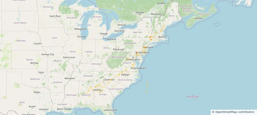
Nationwide Daily Hail, Wind & Tornado Map - May 30, 2026 — regional hail footprint preview
Storm footprint preview
May 29, 2026 10:00 PM to May 31, 2026 2:00 AM CST

Nationwide Daily Hail, Wind & Tornado Map - May 30, 2026

Hail as large as 3.50 inches was reported near 4 miles north of Wellfleet, NE. Wind up to 97 mph was reported near 8 miles west of Lodgepole, NE. 9 tornadoes were reported, including one near 10 miles south-southeast of Bushnell, NE. The storm had 23 official hail reports.

Affected states: National, AR, CO, GA, ID, IA, KS, MO, MT, NE, NY, NC, ND, OK, SD, TX, UT, WY
2.5 inRadar size estimate 328,875Population Affected 144,167Houses Affected Hail · Wind · TornadoHazards FreeAccount signup
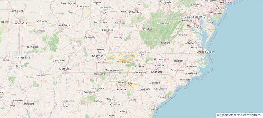
Nationwide Daily Hail, Wind & Tornado Map - May 27, 2026 — regional hail footprint preview
Storm footprint preview
May 26, 2026 10:00 PM to May 28, 2026 2:00 AM CST

Nationwide Daily Hail, Wind & Tornado Map - May 27, 2026

Hail as large as 1.75 inches was reported near 1 mile east-southeast of Rib Mountain Stat, WI. Wind up to 76 mph was reported near 1 mile north-northwest of Petronila, TX. 4 tornadoes were reported, including one near 3 miles north of New Berlin, TX. The storm had 5 official hail reports.

Affected states: National, AR, DE, FL, ID, IN, IA, MN, MT, NV, NM, NC, ND, OH, OK, OR, SC, SD, TX, VA, WV, WI
1.99 inRadar size estimate 296,603Population Affected 122,241Houses Affected Hail · Wind · TornadoHazards FreeAccount signup
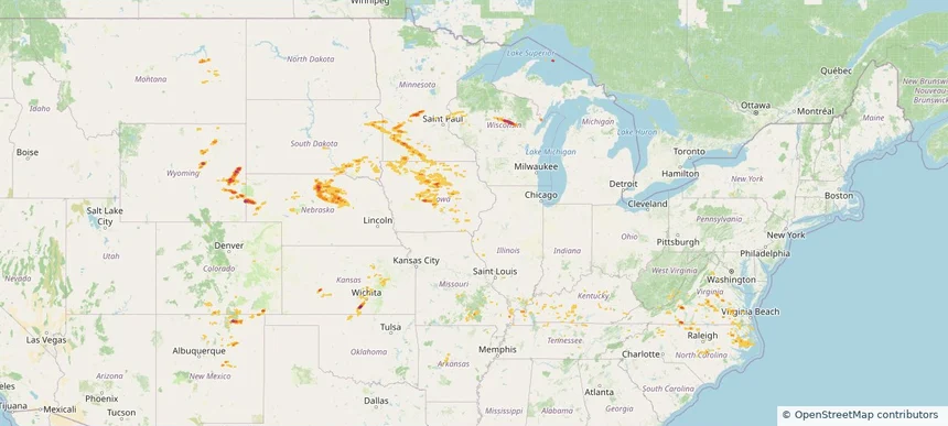
Nationwide Daily Hail & Wind Map - May 20, 2026 — regional hail footprint preview
Storm footprint preview
May 19, 2026 10:00 PM to May 21, 2026 2:00 AM CST

Nationwide Daily Hail & Wind Map - May 20, 2026

Hail as large as 1.75 inches was reported near Laughlin Afb, TX. Wind up to 79 mph was reported near 1 mile south-southeast of Cc Airport, TX. The storm had 5 official hail reports.

Affected states: National, AL, CO, FL, GA, KY, LA, MD, MT, NJ, NY, NC, PA, SD, TN, TX, VA, WV
3.5 inRadar size estimate 371,511Population Affected 145,993Houses Affected Hail · WindHazards FreeAccount signup
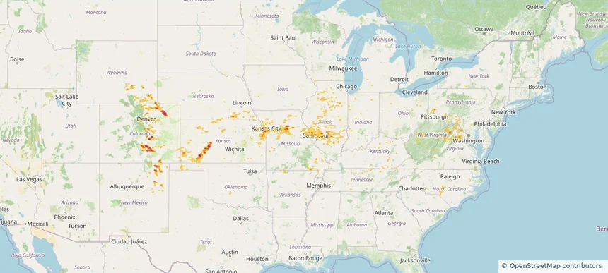
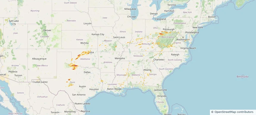
Nationwide Daily Hail, Wind & Tornado Map - May 11, 2026 — regional hail footprint preview
Storm footprint preview
May 10, 2026 10:00 PM to May 12, 2026 2:00 AM CST

Nationwide Daily Hail, Wind & Tornado Map - May 11, 2026

Hail as large as 1.75 inches was reported near Green Sea, SC. Wind up to 97 mph was reported near 1 mile east-southeast of Cc Nas, TX. A tornado was reported near 3 miles southwest of Lutcher, LA. The storm had 1 official hail report.

Affected states: National, FL, LA, MN, MS, NY, NC, SC, TX
2.5 inRadar size estimate 136,109Population Affected 57,650Houses Affected Hail · Wind · TornadoHazards FreeAccount signup
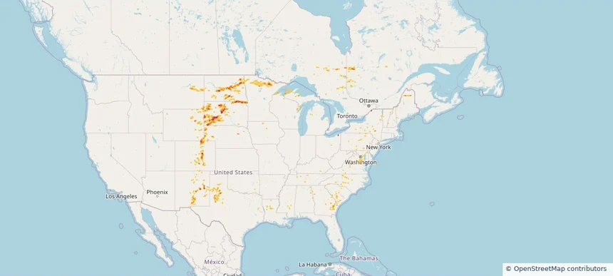
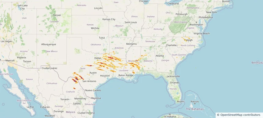
Historical Hail — 2026-04-29 — regional hail footprint preview
Storm footprint preview
Apr 29, 2026 7:00 AM to Apr 30, 2026 7:00 AM CST

Historical Hail — 2026-04-29

Hail as large as 5.00 inches was reported near Camp Wood, TEXAS. Wind up to 92 mph was reported near 4 miles north-northeast of Sharon, MS. 2 tornadoes were reported, including one near 3 miles northeast of Fayetteville, WV. The storm had 16 official hail reports.

Affected states: National, AL, AR, LA, MS, NC, OK, SC, TX, VA, WV
4.68 inRadar size estimate 473,847Population Affected 201,155Houses Affected Hail · Wind · TornadoHazards FreeAccount signup
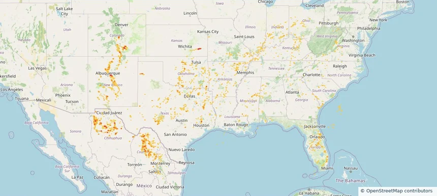
Historical Hail — 2026-04-01 — regional hail footprint preview
Storm footprint preview
Apr 1, 2026 7:00 AM to Apr 2, 2026 7:00 AM CST

Historical Hail — 2026-04-01

Hail as large as 1.50 inches was reported near Williamstown, WEST VIRGINIA. Wind up to 83 mph was reported near 8 miles southeast of Guthrie, TX. The storm had 15 official hail reports.

Affected states: National, AL, DE, FL, GA, IL, IN, KY, LA, MD, MS, MO, NJ, NC, OH, OK, PA, TN, TX, VA, WV
2.5 inRadar size estimate 185,693Population Affected 86,586Houses Affected Hail · WindHazards FreeAccount signup
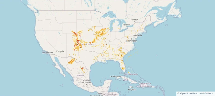
Historical Hail — 2026-03-06 — regional hail footprint preview
Storm footprint preview
Mar 6, 2026 6:00 AM to Mar 7, 2026 6:00 AM CST

Historical Hail — 2026-03-06

Hail as large as 2.00 inches was reported near Ohiowa, NEBRASKA. Wind up to 93 mph was reported near 6 miles northwest of Anderson, MO. 31 tornadoes were reported, including one near 2 miles west-northwest of Edwardsburg, MI. The storm had 16 official hail reports.

Affected states: National, AL, AR, FL, GA, IL, IN, IA, KS, LA, MI, MN, MS, MO, NE, NC, OK, TX
2.09 inRadar size estimate 621,220Population Affected 253,552Houses Affected Hail · Wind · TornadoHazards FreeAccount signup
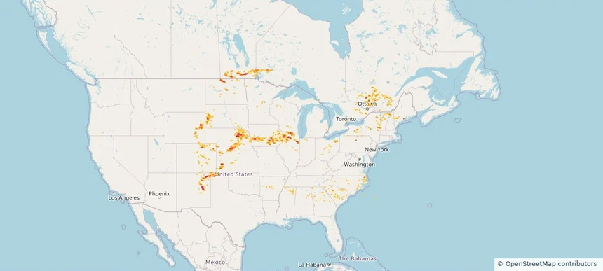
Historical Hail — 2025-09-25 — regional hail footprint preview
Storm footprint preview
Sep 25, 2025 7:00 AM to Sep 26, 2025 7:00 AM CST

Historical Hail — 2025-09-25

Hail as large as 1.00 inches was reported near Miami, ARIZONA. Wind up to 81 mph was reported near Howard, ARKANSAS. 2 tornadoes were reported, including one near Bossier, LOUISIANA. The storm had 4 official hail reports.

Affected states: National, AZ, NM, NC, SC, TX, UT, VA
2.11 inRadar size estimate 92,675Population Affected 36,550Houses Affected Hail · Wind · TornadoHazards FreeAccount signup
Historical Hail — 2025-09-06 — regional hail footprint preview
Storm footprint preview
Sep 6, 2025 7:00 AM to Sep 7, 2025 7:00 AM CST

Historical Hail — 2025-09-06

Hail as large as 1.00 inches was reported near Oak Grove, GEORGIA. Wind up to 74 mph was reported near Westfield-Barnes Ap, MA. 12 tornadoes were reported, including one near Worcester, MASSACHUSETTS. The storm had 6 official hail reports.

Affected states: National, AL, CT, DE, GA, ME, MD, MA, NH, NJ, NY, NC, PA, SC, VA
1.47 inRadar size estimate 497,283Population Affected 191,578Houses Affected Hail · Wind · TornadoHazards FreeAccount signup
Historical Hail — 2025-07-18 — regional hail footprint preview
Storm footprint preview
Jul 18, 2025 7:00 AM to Jul 19, 2025 7:00 AM CST

Historical Hail — 2025-07-18

Hail as large as 2.00 inches was reported near St Augusta, MINNESOTA. Wind up to 91 mph was reported near Brown, NEBRASKA. 18 tornadoes were reported, including one near Cherry, NEBRASKA. The storm had 17 official hail reports.

Affected states: National, AL, AR, CO, IL, IA, KS, KY, MN, MO, MT, NE, NM, NC, OK, SD, TN, VA, WV, WI, WY
2.5 inRadar size estimate 353,604Population Affected 161,135Houses Affected Hail · Wind · TornadoHazards FreeAccount signup
Historical Hail — 2025-07-16 — regional hail footprint preview
Storm footprint preview
Jul 16, 2025 7:00 AM to Jul 17, 2025 7:00 AM CST

Historical Hail — 2025-07-16

Hail as large as 2.00 inches was reported near Merino, COLORADO. Wind up to 110 mph was reported near 2 miles north of Dodge City, KS. 5 tornadoes were reported, including one near Cherry, NEBRASKA. The storm had 4 official hail reports.

Affected states: National, AL, AR, CO, IL, IN, KS, MD, MI, MO, NE, NM, NY, NC, OH, OK, PA, TN, VA, WV, WY
3.0 inRadar size estimate 720,069Population Affected 286,134Houses Affected Hail · Wind · TornadoHazards FreeAccount signup
Historical Hail — 2025-07-14 — regional hail footprint preview
Storm footprint preview
Jul 14, 2025 7:00 AM to Jul 15, 2025 7:00 AM CST

Historical Hail — 2025-07-14

Hail as large as 2.00 inches was reported near Ellendale, NORTH DAKOTA. Wind up to 115 mph was reported near 9 miles west of Onida, SD. 14 tornadoes were reported, including one near Cherry, NEBRASKA. The storm had 6 official hail reports.

Affected states: National, CO, GA, LA, ME, MD, MI, MN, MS, MT, NE, NH, NM, NY, NC, ND, OH, PA, SC, SD, TN, TX, VT, VA, WI, WY
3.0 inRadar size estimate 158,069Population Affected 72,681Houses Affected Hail · Wind · TornadoHazards FreeAccount signup
Historical Hail — 2025-07-12 — regional hail footprint preview
Storm footprint preview
Jul 12, 2025 7:00 AM to Jul 13, 2025 7:00 AM CST

Historical Hail — 2025-07-12

Hail as large as 2.25 inches was reported near Buffalo, KANSAS. Wind up to 76 mph was reported near 4 miles northeast of South Valley, NM. 10 tornadoes were reported, including one near Page, IOWA. The storm had 7 official hail reports.

Affected states: National, AL, AR, CO, FL, GA, IL, IN, KS, KY, LA, MD, MS, MO, NM, NC, OH, OK, SC, TN, TX, VA, WV
2.42 inRadar size estimate 652,057Population Affected 281,802Houses Affected Hail · Wind · TornadoHazards FreeAccount signup
Historical Hail — 2025-07-11 — regional hail footprint preview
Storm footprint preview
Jul 11, 2025 7:00 AM to Jul 12, 2025 7:00 AM CST

Historical Hail — 2025-07-11

Hail as large as 2.00 inches was reported near Grover, COLORADO. Wind up to 98 mph was reported near 1 mile south-southwest of Cascade, IA. 40 tornadoes were reported, including one near Jones, IOWA. The storm had 23 official hail reports.

Affected states: National, AL, AR, CO, FL, GA, IL, IA, KS, LA, MD, MA, MI, MN, MS, MO, NE, NH, NM, NY, NC, OK, PA, SC, TN, TX, VT, VA, WV, WI, WY
3.0 inRadar size estimate 961,330Population Affected 415,893Houses Affected Hail · Wind · TornadoHazards FreeAccount signup
Historical Hail — 2025-07-10 — regional hail footprint preview
Storm footprint preview
Jul 10, 2025 7:00 AM to Jul 11, 2025 7:00 AM CST

Historical Hail — 2025-07-10

Hail as large as 2.50 inches was reported near Maxbass, NORTH DAKOTA. Wind up to 98 mph was reported near Ne, NE. 14 tornadoes were reported, including one near Jones, IOWA. The storm had 16 official hail reports.

Affected states: National, CO, GA, IL, IA, KS, ME, MN, MS, NE, NH, NM, NY, NC, ND, OH, OK, SC, SD, TX, VT, WI, WY
3.0 inRadar size estimate 963,720Population Affected 426,595Houses Affected Hail · Wind · TornadoHazards FreeAccount signup
Page 4 of 6
‹ 1 3 4 5 6 ›

Frequently asked questions

Can I search hail maps by coverage area?

Yes. The storm library supports coverage-area filtering so you can find hail maps and hail swaths in a target service area.

What kinds of storms appear in the HailMapr library?

The library focuses on published hail events, including ready storm maps and live storms once hail has been detected and a public swath is available.

Are HailMapr storm pages useful for roofers and adjusters?

Yes. They are built to help roofers, adjusters, restoration teams, and property owners review storm footprints before purchase.