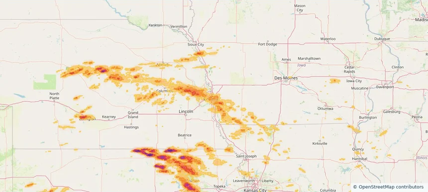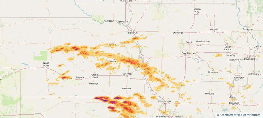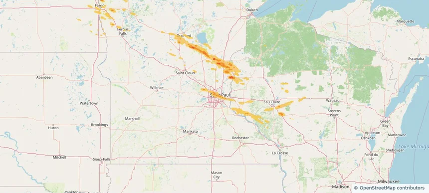
Storm library

Browse live and recent hail maps.

Review storm footprints, hail swaths, reports, and replay access. Create a free account to save your setup and move into map access when a storm matters.

Search filters
Clear
Newest storms first by default.
Don't see your storm? Request a qualifying storm map and we'll email you when it is ready.
Showing 841-864 of 2371 storms · Page 36 of 99
‹ 1 35 36 37 99 ›
Request a storm map

Tell us about the storm and we'll build the map. Once it's published you'll get an email and can purchase it from the library — just like any other event.

Minneapolis, MN — June 19, 2026 — regional hail footprint preview
Storm footprint preview

Local hail summary for the Minneapolis area: 13.39 square miles of estimated ground-hail footprint; highest mapped band 1+ inches. 0 official hail report(s) within the summary area. Exposure estimates are not confirmed property damage. Open the map to explore the full coverage included in your access. Statistics cover the mapped hail footprint inside the Census boundary of Minneapolis, MN, not the entire region. The place had 429,954 residents in the 2020 Census. A boundary intersection does not mean the whole community was hit. Estimated housing exposure: 16,838 units in 1-inch-or-larger bands, including 0 in 1.5-inch-or-larger bands and 0 in 2-inch-or-larger bands.

Affected states: Minneapolis area, MN
1+ inRadar size estimate 68,670Population Affected 28,732Houses Affected HailHazards FreeAccount signup
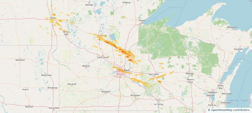
North Branch, MN — June 19, 2026 — regional hail footprint preview
Storm footprint preview

Local hail summary for the North Branch area: 10.95 square miles of estimated ground-hail footprint; highest mapped band 1+ inches. 0 official hail report(s) within the summary area. Exposure estimates are not confirmed property damage. Open the map to explore the full coverage included in your access. Statistics cover the mapped hail footprint inside the Census boundary of North Branch, MN, not the entire region. The place had 10,787 residents in the 2020 Census. A boundary intersection does not mean the whole community was hit. Estimated housing exposure: 150 units in 1-inch-or-larger bands, including 0 in 1.5-inch-or-larger bands and 0 in 2-inch-or-larger bands.

Affected states: North Branch area, MN
1+ inRadar size estimate 1,789Population Affected 620Houses Affected HailHazards FreeAccount signup
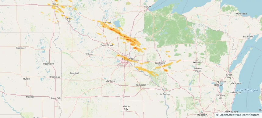
Oakdale, MN — June 19, 2026 — regional hail footprint preview
Storm footprint preview

Local hail summary for the Oakdale area: 3.77 square miles of estimated ground-hail footprint; highest mapped band 1+ inches. 1 official hail report(s) within the summary area. Exposure estimates are not confirmed property damage. Open the map to explore the full coverage included in your access. Statistics cover the mapped hail footprint inside the Census boundary of Oakdale, MN, not the entire region. The place had 28,303 residents in the 2020 Census. A boundary intersection does not mean the whole community was hit. Estimated housing exposure: 147 units in 1-inch-or-larger bands, including 0 in 1.5-inch-or-larger bands and 0 in 2-inch-or-larger bands.

Affected states: Oakdale area, MN
1+ inRadar size estimate 8,653Population Affected 3,831Houses Affected HailHazards FreeAccount signup
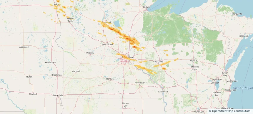
Roseville, MN — June 19, 2026 — regional hail footprint preview
Storm footprint preview

Local hail summary for the Roseville area: 12.55 square miles of estimated ground-hail footprint; highest mapped band 1+ inches. 1 official hail report(s) within the summary area. Exposure estimates are not confirmed property damage. Open the map to explore the full coverage included in your access. Statistics cover the mapped hail footprint inside the Census boundary of Roseville, MN, not the entire region. The place had 36,254 residents in the 2020 Census. A boundary intersection does not mean the whole community was hit. Estimated housing exposure: 9,018 units in 1-inch-or-larger bands, including 0 in 1.5-inch-or-larger bands and 0 in 2-inch-or-larger bands.

Affected states: Roseville area, MN
1+ inRadar size estimate 32,978Population Affected 14,670Houses Affected HailHazards FreeAccount signup
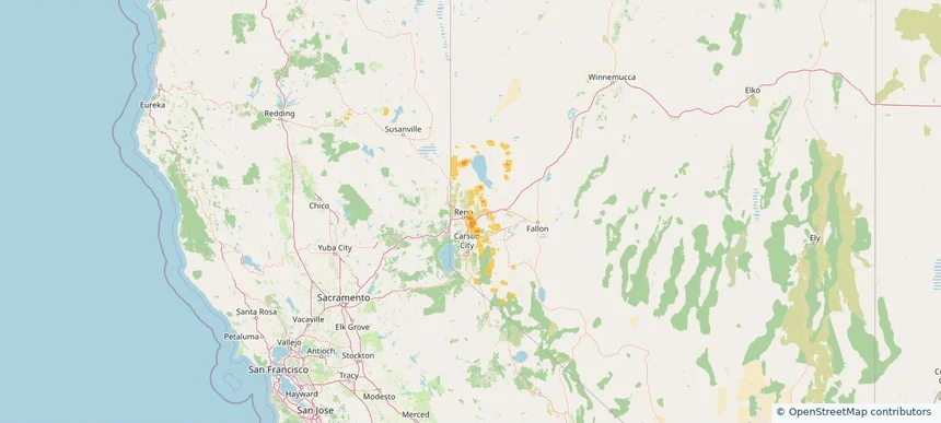
Sparks, NV — June 19, 2026 — regional hail footprint preview
Storm footprint preview

Local hail summary for the Sparks area: 13.03 square miles of estimated ground-hail footprint; highest mapped band 1+ inches. 0 official hail report(s) within the summary area. Exposure estimates are not confirmed property damage. Open the map to explore the full coverage included in your access. Statistics cover the mapped hail footprint inside the Census boundary of Sparks, NV, not the entire region. The place had 108,445 residents in the 2020 Census. A boundary intersection does not mean the whole community was hit. Estimated housing exposure: 9,778 units in 1-inch-or-larger bands, including 0 in 1.5-inch-or-larger bands and 0 in 2-inch-or-larger bands.

Affected states: Sparks area, NV
1+ inRadar size estimate 45,572Population Affected 18,521Houses Affected HailHazards FreeAccount signup
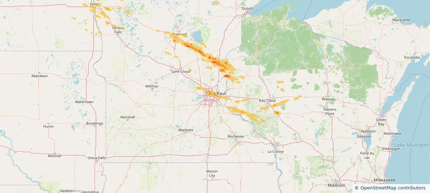
St. Paul, MN — June 19, 2026 — regional hail footprint preview
Storm footprint preview

Local hail summary for the St. Paul area: 17.75 square miles of estimated ground-hail footprint; highest mapped band 1+ inches. 1 official hail report(s) within the summary area. Exposure estimates are not confirmed property damage. Open the map to explore the full coverage included in your access. Statistics cover the mapped hail footprint inside the Census boundary of St. Paul, MN, not the entire region. The place had 311,527 residents in the 2020 Census. A boundary intersection does not mean the whole community was hit. Estimated housing exposure: 16,149 units in 1-inch-or-larger bands, including 0 in 1.5-inch-or-larger bands and 0 in 2-inch-or-larger bands.

Affected states: St. Paul area, MN
1+ inRadar size estimate 128,430Population Affected 45,070Houses Affected HailHazards FreeAccount signup
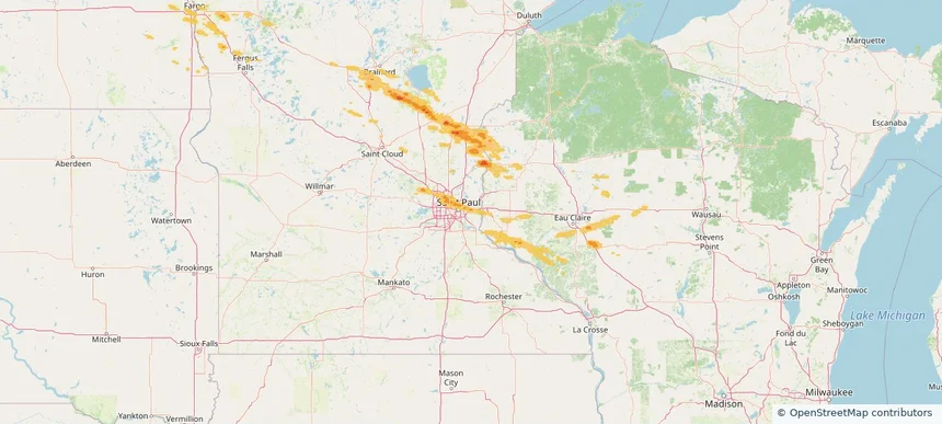
Woodbury, MN — June 19, 2026 — regional hail footprint preview
Storm footprint preview

Local hail summary for the Woodbury area: 10.10 square miles of estimated ground-hail footprint; highest mapped band 1+ inches. 0 official hail report(s) within the summary area. Exposure estimates are not confirmed property damage. Open the map to explore the full coverage included in your access. Statistics cover the mapped hail footprint inside the Census boundary of Woodbury, MN, not the entire region. The place had 75,102 residents in the 2020 Census. A boundary intersection does not mean the whole community was hit. Estimated housing exposure: 2,093 units in 1-inch-or-larger bands, including 0 in 1.5-inch-or-larger bands and 0 in 2-inch-or-larger bands.

Affected states: Woodbury area, MN
1+ inRadar size estimate 24,751Population Affected 9,513Houses Affected HailHazards FreeAccount signup
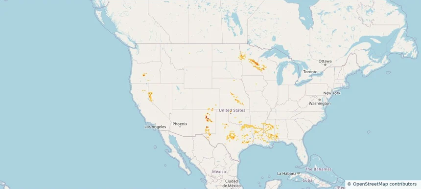
Historical Hail — 2026-06-19 — regional hail footprint preview
Storm footprint preview
Jun 19, 2026 7:00 AM to Jun 20, 2026 7:00 AM CST

Historical Hail — 2026-06-19

Hail as large as 2.50 inches was reported near San Jose, NEW MEXICO. Wind up to 99 mph was reported near 36 miles south of Vya, NV. 4 tornadoes were reported, including one near 3 miles west of Laporte, MN. The storm had 26 official hail reports.

Affected states: National, AL, AR, CA, CO, KS, LA, MN, MS, NE, NV, NM, ND, OK, OR, TX, WI
2.5 inRadar size estimate 870,775Population Affected 348,985Houses Affected Hail · Wind · TornadoHazards FreeAccount signup
Arkansas City, KS — June 18, 2026 — regional hail footprint preview
Storm footprint preview

Local hail summary for the Arkansas City area: 0.35 square miles of estimated ground-hail footprint; highest mapped band 1+ inches. 0 official hail report(s) within the summary area. Exposure estimates are not confirmed property damage. Open the map to explore the full coverage included in your access. Statistics cover the mapped hail footprint inside the Census boundary of Arkansas City, KS, not the entire region. The place had 11,974 residents in the 2020 Census. A boundary intersection does not mean the whole community was hit. Estimated housing exposure: 123 units in 1-inch-or-larger bands, including 0 in 1.5-inch-or-larger bands and 0 in 2-inch-or-larger bands.

Affected states: Arkansas City area, KS
1+ inRadar size estimate 198Population Affected 123Houses Affected HailHazards FreeAccount signup
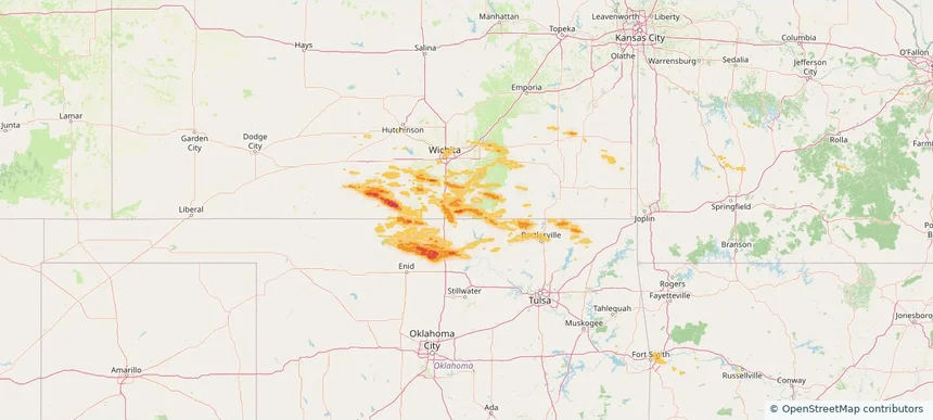
Nationwide Daily Hail, Wind & Tornado Map - June 18, 2026 — regional hail footprint preview
Storm footprint preview
Jun 17, 2026 10:00 PM to Jun 19, 2026 1:45 AM CST

Nationwide Daily Hail, Wind & Tornado Map - June 18, 2026

Hail as large as 1.75 inches was reported near Belle Plaine, KS. Wind up to 90 mph was reported near 2 miles southwest of Gulfport, MS. 55 tornadoes were reported, including one near 2 miles south-southwest of Grayslake, IL. The storm had 10 official hail reports.

Affected states: National, AL, AR, CA, FL, GA, IL, IN, KS, KY, LA, ME, MA, MS, MO, MT, NV, NH, NM, NY, NC, OH, OK, SC, SD, TN, TX, VT, VA, WV
2.0 inRadar size estimate 208,910Population Affected 85,576Houses Affected Hail · Wind · TornadoHazards FreeAccount signup
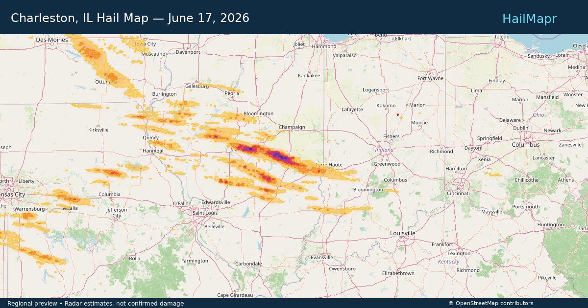
Charleston, IL — June 17, 2026 — regional hail footprint preview
Storm footprint preview

Local hail summary for the Charleston area: 8.93 square miles of estimated ground-hail footprint; highest mapped band 1.5+ inches. 0 official hail report(s) within the summary area. Exposure estimates are not confirmed property damage. Open the map to explore the full coverage included in your access. Statistics cover the mapped hail footprint inside the Census boundary of Charleston, IL, not the entire region. The place had 17,286 residents in the 2020 Census. A boundary intersection does not mean the whole community was hit. Estimated housing exposure: 2,255 units in 1-inch-or-larger bands, including 0 in 1.5-inch-or-larger bands and 0 in 2-inch-or-larger bands.

Affected states: Charleston area, IL
1.5+ inRadar size estimate 16,981Population Affected 8,213Houses Affected HailHazards FreeAccount signup
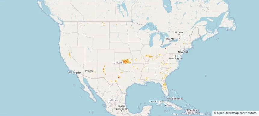
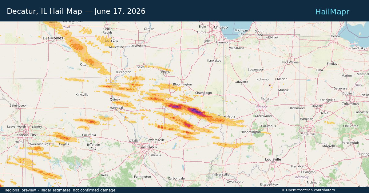
Decatur, IL — June 17, 2026 — regional hail footprint preview
Storm footprint preview

Local hail summary for the Decatur area: 18.73 square miles of estimated ground-hail footprint; highest mapped band 1.5+ inches. 0 official hail report(s) within the summary area. Exposure estimates are not confirmed property damage. Open the map to explore the full coverage included in your access. Statistics cover the mapped hail footprint inside the Census boundary of Decatur, IL, not the entire region. The place had 70,522 residents in the 2020 Census. A boundary intersection does not mean the whole community was hit. Estimated housing exposure: 15,017 units in 1-inch-or-larger bands, including 4,613 in 1.5-inch-or-larger bands and 0 in 2-inch-or-larger bands.

Affected states: Decatur area, IL
1.5+ inRadar size estimate 34,141Population Affected 16,693Houses Affected HailHazards FreeAccount signup
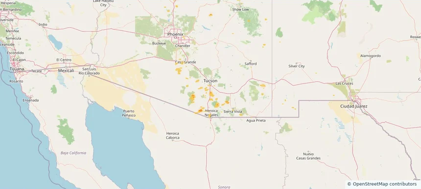
Sahuarita, AZ — June 17, 2026 — regional hail footprint preview
Storm footprint preview

Local hail summary for the Sahuarita area: 2.82 square miles of estimated ground-hail footprint; highest mapped band 1+ inches. 0 official hail report(s) within the summary area. Exposure estimates are not confirmed property damage. Open the map to explore the full coverage included in your access. Statistics cover the mapped hail footprint inside the Census boundary of Sahuarita, AZ, not the entire region. The place had 34,134 residents in the 2020 Census. A boundary intersection does not mean the whole community was hit. Estimated housing exposure: 662 units in 1-inch-or-larger bands, including 0 in 1.5-inch-or-larger bands and 0 in 2-inch-or-larger bands.

Affected states: Sahuarita area, AZ
1+ inRadar size estimate 7,829Population Affected 2,513Houses Affected HailHazards FreeAccount signup
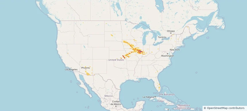
Nationwide Daily Hail, Wind & Tornado Map - June 17, 2026 — regional hail footprint preview
Storm footprint preview
Jun 16, 2026 10:00 PM to Jun 18, 2026 1:45 AM CST

Nationwide Daily Hail, Wind & Tornado Map - June 17, 2026

Hail as large as 3.00 inches was reported near 3 miles north of Cadwell, IL. Wind up to 123 mph was reported near 4 miles east of Albion, IA. 34 tornadoes were reported, including one near Pekin, IA. The storm had 13 official hail reports.

Affected states: National, AL, AZ, FL, IL, IN, IA, KS, KY, LA, ME, MN, MO, MT, NV, NM, NY, ND, OH, SD, TX, WI
3.28 inRadar size estimate 668,423Population Affected 295,000Houses Affected Hail · Wind · TornadoHazards FreeAccount signup
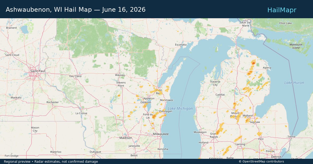
Ashwaubenon, WI — June 16, 2026 — regional hail footprint preview
Storm footprint preview

Local hail summary for the Ashwaubenon area: 9.87 square miles of estimated ground-hail footprint; highest mapped band 1+ inches. 0 official hail report(s) within the summary area. Exposure estimates are not confirmed property damage. Open the map to explore the full coverage included in your access. Statistics cover the mapped hail footprint inside the Census boundary of Ashwaubenon, WI, not the entire region. The place had 16,991 residents in the 2020 Census. A boundary intersection does not mean the whole community was hit. Estimated housing exposure: 745 units in 1-inch-or-larger bands, including 0 in 1.5-inch-or-larger bands and 0 in 2-inch-or-larger bands.

Affected states: Ashwaubenon area, WI
1+ inRadar size estimate 13,394Population Affected 6,407Houses Affected HailHazards FreeAccount signup
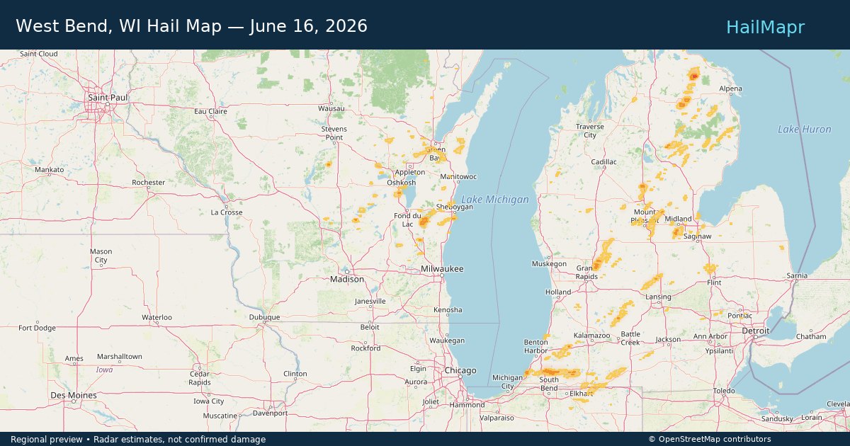
West Bend, WI — June 16, 2026 — regional hail footprint preview
Storm footprint preview

Local hail summary for the West Bend area: 2.43 square miles of estimated ground-hail footprint; highest mapped band 1+ inches. 0 official hail report(s) within the summary area. Exposure estimates are not confirmed property damage. Open the map to explore the full coverage included in your access. Statistics cover the mapped hail footprint inside the Census boundary of West Bend, WI, not the entire region. The place had 31,752 residents in the 2020 Census. A boundary intersection does not mean the whole community was hit. Estimated housing exposure: 178 units in 1-inch-or-larger bands, including 0 in 1.5-inch-or-larger bands and 0 in 2-inch-or-larger bands.

Affected states: West Bend area, WI
1+ inRadar size estimate 7,700Population Affected 3,310Houses Affected HailHazards FreeAccount signup
Nationwide Daily Hail, Wind & Tornado Map - June 16, 2026 — regional hail footprint preview
Storm footprint preview
Jun 15, 2026 10:00 PM to Jun 17, 2026 1:45 AM CST

Nationwide Daily Hail, Wind & Tornado Map - June 16, 2026

Hail as large as 4.00 inches was reported near Cullison, KS. Wind up to 82 mph was reported near 9 miles south-southeast of Grass Range, MT. 4 tornadoes were reported, including one near 1 mile east of Deacon, IN. The storm had 61 official hail reports.

Affected states: National, AL, AZ, CA, FL, IL, IN, IA, KS, MI, MN, MO, MT, NM, NY, ND, OK, SD, TX, WI
3.89 inRadar size estimate 214,330Population Affected 95,115Houses Affected Hail · Wind · TornadoHazards FreeAccount signup
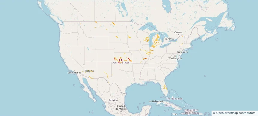
Nationwide Daily Hail & Wind Map - June 15, 2026 — regional hail footprint preview
Storm footprint preview
Jun 14, 2026 10:00 PM to Jun 16, 2026 1:45 AM CST

Nationwide Daily Hail & Wind Map - June 15, 2026

Hail as large as 1.00 inches was reported near 6 miles east-northeast of Minneota, MN. Wind up to 79 mph was reported near 5 miles west of Seneca, SD. The storm had 2 official hail reports.

Affected states: National, AZ, CO, FL, GA, KS, MN, MS, NJ, NM, ND, PA, SD, TX, WI
2.5 inRadar size estimate 36,260Population Affected 19,492Houses Affected Hail · WindHazards FreeAccount signup
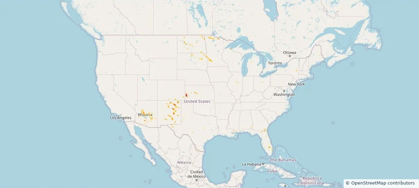
Jacksonville, NC — June 14, 2026 — regional hail footprint preview
Storm footprint preview

Local hail summary for the Jacksonville area: 1.21 square miles of estimated ground-hail footprint; highest mapped band 1+ inches. 0 official hail report(s) within the summary area. Exposure estimates are not confirmed property damage. Open the map to explore the full coverage included in your access. Statistics cover the mapped hail footprint inside the Census boundary of Jacksonville, NC, not the entire region. The place had 72,723 residents in the 2020 Census. A boundary intersection does not mean the whole community was hit. Estimated housing exposure: 149 units in 1-inch-or-larger bands, including 0 in 1.5-inch-or-larger bands and 0 in 2-inch-or-larger bands.

Affected states: Jacksonville area, NC
1+ inRadar size estimate 2,342Population Affected 1,166Houses Affected HailHazards FreeAccount signup
Newport News, VA — June 14, 2026 — regional hail footprint preview
Storm footprint preview

Local hail summary for the Newport News area: 1.61 square miles of estimated ground-hail footprint; highest mapped band 1+ inches. 0 official hail report(s) within the summary area. Exposure estimates are not confirmed property damage. Open the map to explore the full coverage included in your access. Statistics cover the mapped hail footprint inside the Census boundary of Newport News, VA, not the entire region. The place had 186,247 residents in the 2020 Census. A boundary intersection does not mean the whole community was hit. Estimated housing exposure: 1,515 units in 1-inch-or-larger bands, including 0 in 1.5-inch-or-larger bands and 0 in 2-inch-or-larger bands.

Affected states: Newport News area, VA
1+ inRadar size estimate 5,565Population Affected 2,565Houses Affected HailHazards FreeAccount signup
Nationwide Daily Hail, Wind & Tornado Map - June 14, 2026 — regional hail footprint preview
Storm footprint preview
Jun 13, 2026 10:00 PM to Jun 15, 2026 1:45 AM CST

Nationwide Daily Hail, Wind & Tornado Map - June 14, 2026

Hail as large as 1.75 inches was reported near 2 miles west-southwest of Dortches, NC. Wind up to 109 mph was reported near Joplin, MO. 25 tornadoes were reported, including one near 1 mile east-southeast of Fidelity, MO. The storm had 5 official hail reports.

Affected states: National, AL, AZ, AR, CA, CO, FL, GA, IL, IA, KS, KY, ME, MD, MI, MO, NV, NJ, NM, NY, NC, OH, OK, PA, SC, TN, TX, UT, VA, WV
2.0 inRadar size estimate 378,897Population Affected 170,054Houses Affected Hail · Wind · TornadoHazards FreeAccount signup
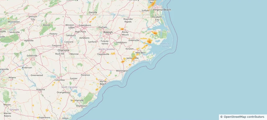
Bellevue, NE — June 13, 2026 — regional hail footprint preview
Storm footprint preview

Local hail summary for the Bellevue area: 16.50 square miles of estimated ground-hail footprint; highest mapped band 1+ inches. 0 official hail report(s) within the summary area. Exposure estimates are not confirmed property damage. Open the map to explore the full coverage included in your access. Statistics cover the mapped hail footprint inside the Census boundary of Bellevue, NE, not the entire region. The place had 64,176 residents in the 2020 Census. A boundary intersection does not mean the whole community was hit. Estimated housing exposure: 3,654 units in 1-inch-or-larger bands, including 0 in 1.5-inch-or-larger bands and 0 in 2-inch-or-larger bands.

Affected states: Bellevue area, NE
1+ inRadar size estimate 46,667Population Affected 19,240Houses Affected HailHazards FreeAccount signup
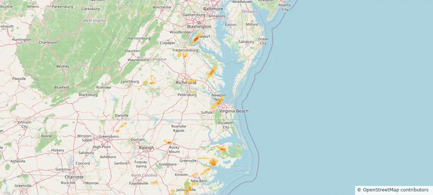
Council Bluffs, IA — June 13, 2026 — regional hail footprint preview
Storm footprint preview

Local hail summary for the Council Bluffs area: 31.85 square miles of estimated ground-hail footprint; highest mapped band 1+ inches. 0 official hail report(s) within the summary area. Exposure estimates are not confirmed property damage. Open the map to explore the full coverage included in your access. Statistics cover the mapped hail footprint inside the Census boundary of Council Bluffs, IA, not the entire region. The place had 62,799 residents in the 2020 Census. A boundary intersection does not mean the whole community was hit. Estimated housing exposure: 822 units in 1-inch-or-larger bands, including 0 in 1.5-inch-or-larger bands and 0 in 2-inch-or-larger bands.

Affected states: Council Bluffs area, IA
1+ inRadar size estimate 45,720Population Affected 19,573Houses Affected HailHazards FreeAccount signup
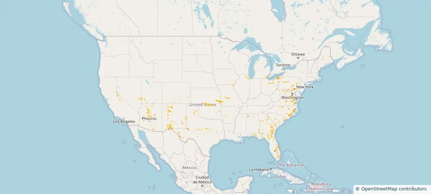
Fremont, NE — June 13, 2026 — regional hail footprint preview
Storm footprint preview

Local hail summary for the Fremont area: 9.97 square miles of estimated ground-hail footprint; highest mapped band 1+ inches. 0 official hail report(s) within the summary area. Exposure estimates are not confirmed property damage. Open the map to explore the full coverage included in your access. Statistics cover the mapped hail footprint inside the Census boundary of Fremont, NE, not the entire region. The place had 27,141 residents in the 2020 Census. A boundary intersection does not mean the whole community was hit. Estimated housing exposure: 2,260 units in 1-inch-or-larger bands, including 0 in 1.5-inch-or-larger bands and 0 in 2-inch-or-larger bands.

Affected states: Fremont area, NE
1+ inRadar size estimate 26,396Population Affected 11,122Houses Affected HailHazards FreeAccount signup
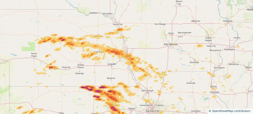
Page 36 of 99
‹ 1 35 36 37 99 ›

Frequently asked questions

Can I search hail maps by coverage area?

Yes. The storm library supports coverage-area filtering so you can find hail maps and hail swaths in a target service area.

What kinds of storms appear in the HailMapr library?

The library focuses on published hail events, including ready storm maps and live storms once hail has been detected and a public swath is available.

Are HailMapr storm pages useful for roofers and adjusters?

Yes. They are built to help roofers, adjusters, restoration teams, and property owners review storm footprints before purchase.