Storm library

Browse live and recent hail maps.

Review storm footprints, hail swaths, reports, and replay access. Create a free account to save your setup and move into map access when a storm matters.

Search filters
Clear
Newest storms first by default.
Don't see your storm? Request a qualifying storm map and we'll email you when it is ready.
Showing 49-72 of 432 storms · Page 3 of 18
‹ 1 2 3 4 18 ›
Request a storm map

Tell us about the storm and we'll build the map. Once it's published you'll get an email and can purchase it from the library — just like any other event.

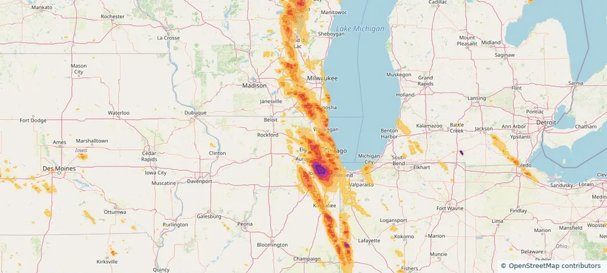
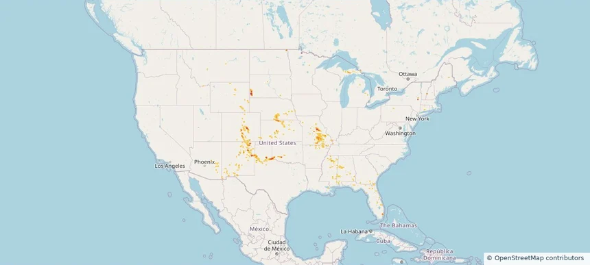
Nationwide Daily Hail, Wind & Tornado Map - July 31, 2026 — regional hail footprint preview
Storm footprint preview
Jul 30, 2026 10:00 PM to Aug 1, 2026 1:45 AM CST

Nationwide Daily Hail, Wind & Tornado Map - July 31, 2026

Hail as large as 1.75 inches was reported near Argyle, SD. Wind up to 89 mph was reported near 2 miles west-northwest of Hereford, TX. 5 tornadoes were reported, including one near 4 miles south-southwest of Oak Hill, MO. The storm had 3 official hail reports.

Affected states: National, AL, AZ, AR, CO, CT, FL, GA, ID, IL, IA, KS, MI, MS, MO, MT, NE, NM, NY, OK, SD, TX, WY
2.0 inRadar size estimate 325,282Population Affected 130,987Houses Affected Hail · Wind · TornadoHazards FreeAccount signup
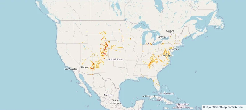
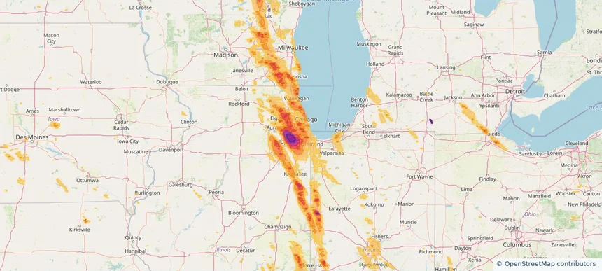
Nationwide Daily Hail, Wind & Tornado Map - July 28, 2026 — regional hail footprint preview
Storm footprint preview
Jul 27, 2026 10:00 PM to Jul 29, 2026 1:45 AM CST

Nationwide Daily Hail, Wind & Tornado Map - July 28, 2026

Hail as large as 2.50 inches was reported near 2 miles southwest of Mustoe, VA. Wind up to 92 mph was reported near 2 miles north of Broadwater, NE. 9 tornadoes were reported, including one near Wheaton, IL. The storm had 10 official hail reports.

Affected states: National, AL, AZ, CO, DE, DC, FL, GA, ID, IL, IN, IA, KS, KY, MD, MA, MI, MN, MT, NE, NV, NH, NJ, NM, NY, NC, OH, PA, SC, SD, TN, UT, VT, VA, WV, WY
3.5 inRadar size estimate 1,672,741Population Affected 721,330Houses Affected Hail · Wind · TornadoHazards FreeAccount signup
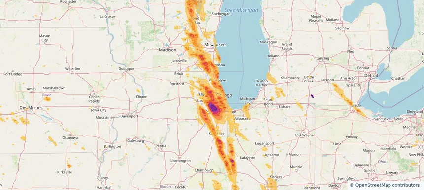
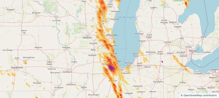
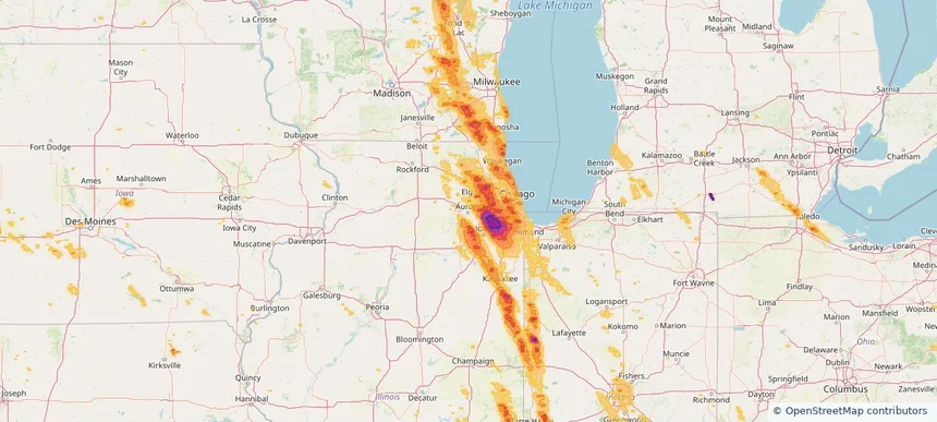
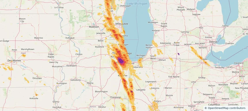
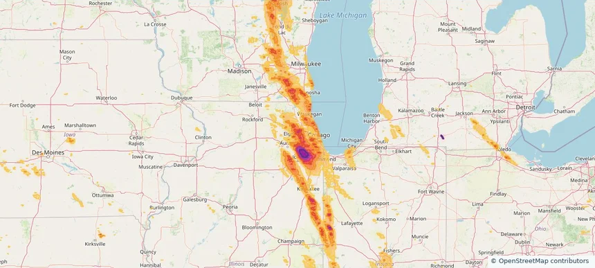
Addison, IL — July 27, 2026 — regional hail footprint preview
Storm footprint preview

Local hail summary for the Addison area: 10.00 square miles of estimated ground-hail footprint; highest mapped band 1.5+ inches. 0 official hail report(s) within the summary area. Exposure estimates are not confirmed property damage. Open the map to explore the full coverage included in your access. Statistics cover the mapped hail footprint inside the Census boundary of Addison, IL, not the entire region. The place had 35,702 residents in the 2020 Census. A boundary intersection does not mean the whole community was hit. Estimated housing exposure: 12,621 units in 1-inch-or-larger bands, including 12,471 in 1.5-inch-or-larger bands and 0 in 2-inch-or-larger bands.

Affected states: Addison area, IL
1.5+ inRadar size estimate 35,510Population Affected 12,621Houses Affected HailHazards FreeAccount signup
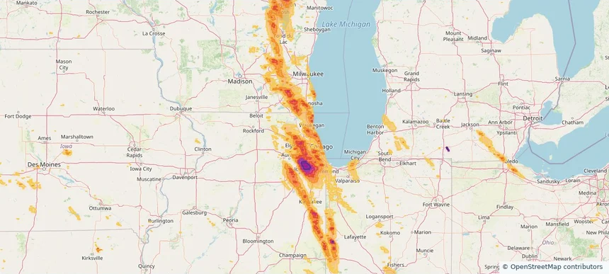
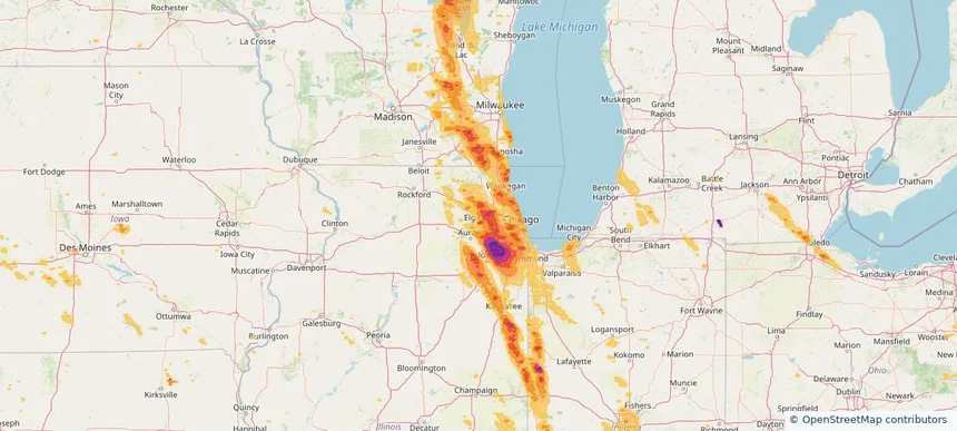
Algonquin, IL — July 27, 2026 — regional hail footprint preview
Storm footprint preview

Local hail summary for the Algonquin area: 6.87 square miles of estimated ground-hail footprint; highest mapped band 1+ inches. 0 official hail report(s) within the summary area. Exposure estimates are not confirmed property damage. Open the map to explore the full coverage included in your access. Statistics cover the mapped hail footprint inside the Census boundary of Algonquin, IL, not the entire region. The place had 29,700 residents in the 2020 Census. A boundary intersection does not mean the whole community was hit. Estimated housing exposure: 3,317 units in 1-inch-or-larger bands, including 0 in 1.5-inch-or-larger bands and 0 in 2-inch-or-larger bands.

Affected states: Algonquin area, IL
1+ inRadar size estimate 19,478Population Affected 7,164Houses Affected HailHazards FreeAccount signup
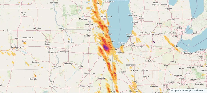
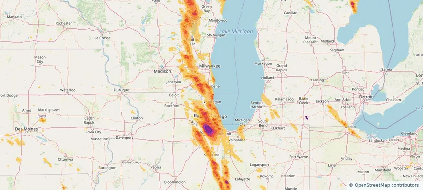
Alsip, IL — July 27, 2026 — regional hail footprint preview
Storm footprint preview

Local hail summary for the Alsip area: 6.63 square miles of estimated ground-hail footprint; highest mapped band 1+ inches. 0 official hail report(s) within the summary area. Exposure estimates are not confirmed property damage. Open the map to explore the full coverage included in your access. Statistics cover the mapped hail footprint inside the Census boundary of Alsip, IL, not the entire region. The place had 19,063 residents in the 2020 Census. A boundary intersection does not mean the whole community was hit. Estimated housing exposure: 7,703 units in 1-inch-or-larger bands, including 0 in 1.5-inch-or-larger bands and 0 in 2-inch-or-larger bands.

Affected states: Alsip area, IL
1+ inRadar size estimate 19,063Population Affected 8,016Houses Affected HailHazards FreeAccount signup
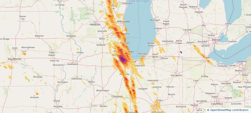
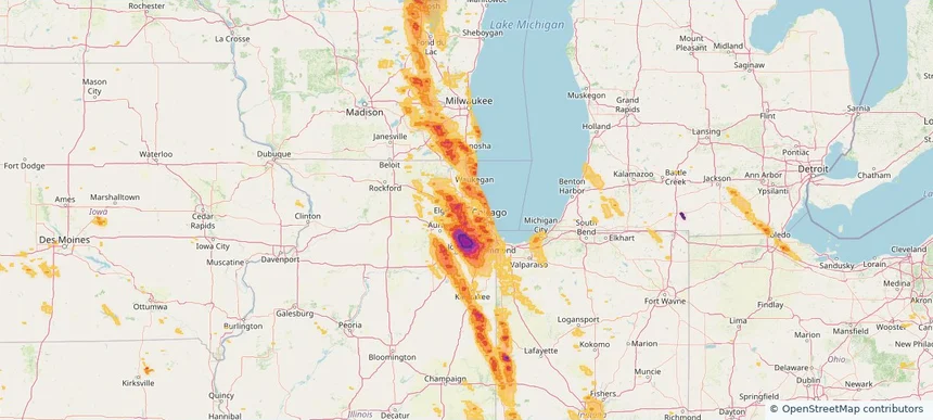
Antioch, IL — July 27, 2026 — regional hail footprint preview
Storm footprint preview

Local hail summary for the Antioch area: 6.22 square miles of estimated ground-hail footprint; highest mapped band 1+ inches. 0 official hail report(s) within the summary area. Exposure estimates are not confirmed property damage. Open the map to explore the full coverage included in your access. Statistics cover the mapped hail footprint inside the Census boundary of Antioch, IL, not the entire region. The place had 14,622 residents in the 2020 Census. A boundary intersection does not mean the whole community was hit. Estimated housing exposure: 4,343 units in 1-inch-or-larger bands, including 0 in 1.5-inch-or-larger bands and 0 in 2-inch-or-larger bands.

Affected states: Antioch area, IL
1+ inRadar size estimate 11,038Population Affected 4,393Houses Affected HailHazards FreeAccount signup
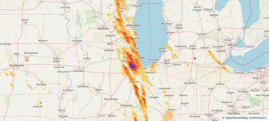
Arlington Heights, IL — July 27, 2026 — regional hail footprint preview
Storm footprint preview

Local hail summary for the Arlington Heights area: 1.15 square miles of estimated ground-hail footprint; highest mapped band 1+ inches. 0 official hail report(s) within the summary area. Exposure estimates are not confirmed property damage. Open the map to explore the full coverage included in your access. Statistics cover the mapped hail footprint inside the Census boundary of Arlington Heights, IL, not the entire region. The place had 77,676 residents in the 2020 Census. A boundary intersection does not mean the whole community was hit. Estimated housing exposure: 2,481 units in 1-inch-or-larger bands, including 0 in 1.5-inch-or-larger bands and 0 in 2-inch-or-larger bands.

Affected states: Arlington Heights area, IL
1+ inRadar size estimate 5,074Population Affected 2,494Houses Affected HailHazards FreeAccount signup
Aurora, IL — July 27, 2026 — regional hail footprint preview
Storm footprint preview

Local hail summary for the Aurora area: 1.42 square miles of estimated ground-hail footprint; highest mapped band 1+ inches. 0 official hail report(s) within the summary area. Exposure estimates are not confirmed property damage. Open the map to explore the full coverage included in your access. Statistics cover the mapped hail footprint inside the Census boundary of Aurora, IL, not the entire region. The place had 180,542 residents in the 2020 Census. A boundary intersection does not mean the whole community was hit. Estimated housing exposure: 927 units in 1-inch-or-larger bands, including 0 in 1.5-inch-or-larger bands and 0 in 2-inch-or-larger bands.

Affected states: Aurora area, IL
1+ inRadar size estimate 2,532Population Affected 1,157Houses Affected HailHazards FreeAccount signup
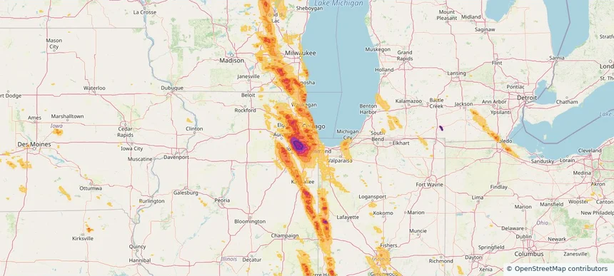
Bartlett, IL — July 27, 2026 — regional hail footprint preview
Storm footprint preview

Local hail summary for the Bartlett area: 5.90 square miles of estimated ground-hail footprint; highest mapped band 1+ inches. 0 official hail report(s) within the summary area. Exposure estimates are not confirmed property damage. Open the map to explore the full coverage included in your access. Statistics cover the mapped hail footprint inside the Census boundary of Bartlett, IL, not the entire region. The place had 41,105 residents in the 2020 Census. A boundary intersection does not mean the whole community was hit. Estimated housing exposure: 3,507 units in 1-inch-or-larger bands, including 0 in 1.5-inch-or-larger bands and 0 in 2-inch-or-larger bands.

Affected states: Bartlett area, IL
1+ inRadar size estimate 21,594Population Affected 7,778Houses Affected HailHazards FreeAccount signup
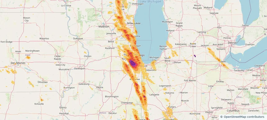
Beach Park, IL — July 27, 2026 — regional hail footprint preview
Storm footprint preview

Local hail summary for the Beach Park area: 3.93 square miles of estimated ground-hail footprint; highest mapped band 1.5+ inches. 0 official hail report(s) within the summary area. Exposure estimates are not confirmed property damage. Open the map to explore the full coverage included in your access. Statistics cover the mapped hail footprint inside the Census boundary of Beach Park, IL, not the entire region. The place had 14,249 residents in the 2020 Census. A boundary intersection does not mean the whole community was hit. Estimated housing exposure: 3,397 units in 1-inch-or-larger bands, including 689 in 1.5-inch-or-larger bands and 0 in 2-inch-or-larger bands.

Affected states: Beach Park area, IL
1.5+ inRadar size estimate 9,551Population Affected 3,492Houses Affected HailHazards FreeAccount signup
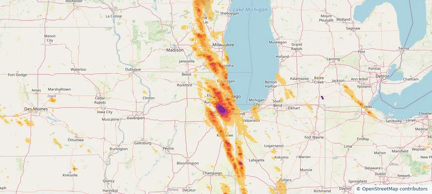
Bensenville, IL — July 27, 2026 — regional hail footprint preview
Storm footprint preview

Local hail summary for the Bensenville area: 3.04 square miles of estimated ground-hail footprint; highest mapped band 1+ inches. 0 official hail report(s) within the summary area. Exposure estimates are not confirmed property damage. Open the map to explore the full coverage included in your access. Statistics cover the mapped hail footprint inside the Census boundary of Bensenville, IL, not the entire region. The place had 18,813 residents in the 2020 Census. A boundary intersection does not mean the whole community was hit. Estimated housing exposure: 159 units in 1-inch-or-larger bands, including 0 in 1.5-inch-or-larger bands and 0 in 2-inch-or-larger bands.

Affected states: Bensenville area, IL
1+ inRadar size estimate 8,316Population Affected 2,997Houses Affected HailHazards FreeAccount signup
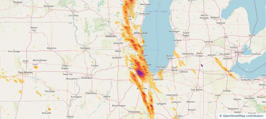
Berwyn, IL — July 27, 2026 — regional hail footprint preview
Storm footprint preview

Local hail summary for the Berwyn area: 2.66 square miles of estimated ground-hail footprint; highest mapped band 1.5+ inches. 0 official hail report(s) within the summary area. Exposure estimates are not confirmed property damage. Open the map to explore the full coverage included in your access. Statistics cover the mapped hail footprint inside the Census boundary of Berwyn, IL, not the entire region. The place had 57,250 residents in the 2020 Census. A boundary intersection does not mean the whole community was hit. Estimated housing exposure: 15,053 units in 1-inch-or-larger bands, including 4,304 in 1.5-inch-or-larger bands and 0 in 2-inch-or-larger bands.

Affected states: Berwyn area, IL
1.5+ inRadar size estimate 41,687Population Affected 15,053Houses Affected HailHazards FreeAccount signup
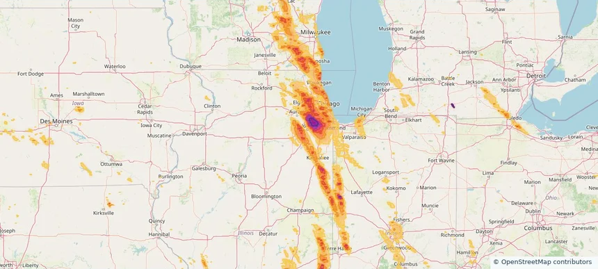
Bloomingdale, IL — July 27, 2026 — regional hail footprint preview
Storm footprint preview

Local hail summary for the Bloomingdale area: 7.03 square miles of estimated ground-hail footprint; highest mapped band 1.5+ inches. 0 official hail report(s) within the summary area. Exposure estimates are not confirmed property damage. Open the map to explore the full coverage included in your access. Statistics cover the mapped hail footprint inside the Census boundary of Bloomingdale, IL, not the entire region. The place had 22,382 residents in the 2020 Census. A boundary intersection does not mean the whole community was hit. Estimated housing exposure: 9,241 units in 1-inch-or-larger bands, including 8,021 in 1.5-inch-or-larger bands and 0 in 2-inch-or-larger bands.

Affected states: Bloomingdale area, IL
1.5+ inRadar size estimate 22,223Population Affected 9,251Houses Affected HailHazards FreeAccount signup
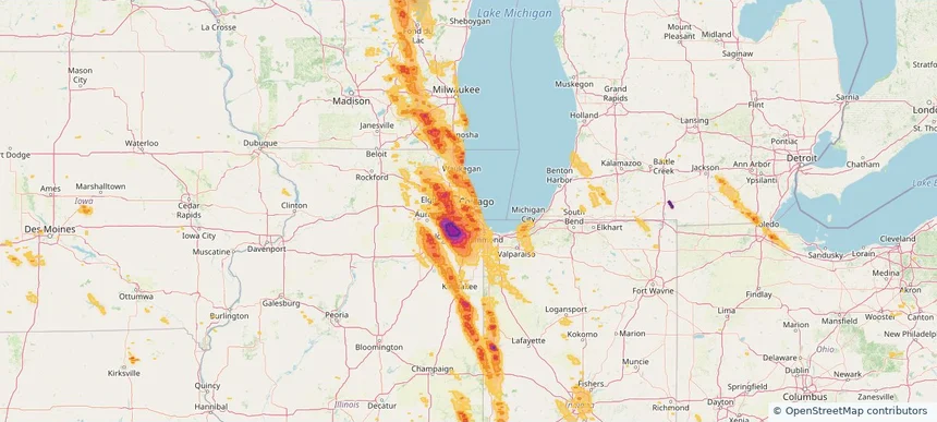
Blue Island, IL — July 27, 2026 — regional hail footprint preview
Storm footprint preview

Local hail summary for the Blue Island area: 4.15 square miles of estimated ground-hail footprint; highest mapped band 1+ inches. 0 official hail report(s) within the summary area. Exposure estimates are not confirmed property damage. Open the map to explore the full coverage included in your access. Statistics cover the mapped hail footprint inside the Census boundary of Blue Island, IL, not the entire region. The place had 22,558 residents in the 2020 Census. A boundary intersection does not mean the whole community was hit. Estimated housing exposure: 1,715 units in 1-inch-or-larger bands, including 0 in 1.5-inch-or-larger bands and 0 in 2-inch-or-larger bands.

Affected states: Blue Island area, IL
1+ inRadar size estimate 22,558Population Affected 9,137Houses Affected HailHazards FreeAccount signup
Bolingbrook, IL — July 27, 2026 — regional hail footprint preview
Storm footprint preview

Local hail summary for the Bolingbrook area: 18.61 square miles of estimated ground-hail footprint; highest mapped band 2.5+ inches. 0 official hail report(s) within the summary area. Exposure estimates are not confirmed property damage. Open the map to explore the full coverage included in your access. Statistics cover the mapped hail footprint inside the Census boundary of Bolingbrook, IL, not the entire region. The place had 73,922 residents in the 2020 Census. A boundary intersection does not mean the whole community was hit. Estimated housing exposure: 20,582 units in 1-inch-or-larger bands, including 19,041 in 1.5-inch-or-larger bands and 16,211 in 2-inch-or-larger bands.

Affected states: Bolingbrook area, IL
2.5+ inRadar size estimate 60,668Population Affected 20,582Houses Affected HailHazards FreeAccount signup
Bridgeview, IL — July 27, 2026 — regional hail footprint preview
Storm footprint preview

Local hail summary for the Bridgeview area: 4.13 square miles of estimated ground-hail footprint; highest mapped band 1+ inches. 0 official hail report(s) within the summary area. Exposure estimates are not confirmed property damage. Open the map to explore the full coverage included in your access. Statistics cover the mapped hail footprint inside the Census boundary of Bridgeview, IL, not the entire region. The place had 17,027 residents in the 2020 Census. A boundary intersection does not mean the whole community was hit. Estimated housing exposure: 6,163 units in 1-inch-or-larger bands, including 0 in 1.5-inch-or-larger bands and 0 in 2-inch-or-larger bands.

Affected states: Bridgeview area, IL
1+ inRadar size estimate 17,053Population Affected 6,163Houses Affected HailHazards FreeAccount signup
Brookfield, IL — July 27, 2026 — regional hail footprint preview
Storm footprint preview

Local hail summary for the Brookfield area: 3.07 square miles of estimated ground-hail footprint; highest mapped band 1+ inches. 0 official hail report(s) within the summary area. Exposure estimates are not confirmed property damage. Open the map to explore the full coverage included in your access. Statistics cover the mapped hail footprint inside the Census boundary of Brookfield, IL, not the entire region. The place had 19,476 residents in the 2020 Census. A boundary intersection does not mean the whole community was hit. Estimated housing exposure: 3,453 units in 1-inch-or-larger bands, including 0 in 1.5-inch-or-larger bands and 0 in 2-inch-or-larger bands.

Affected states: Brookfield area, IL
1+ inRadar size estimate 19,476Population Affected 7,785Houses Affected HailHazards FreeAccount signup
Buffalo Grove, IL — July 27, 2026 — regional hail footprint preview
Storm footprint preview

Local hail summary for the Buffalo Grove area: 4.16 square miles of estimated ground-hail footprint; highest mapped band 1+ inches. 0 official hail report(s) within the summary area. Exposure estimates are not confirmed property damage. Open the map to explore the full coverage included in your access. Statistics cover the mapped hail footprint inside the Census boundary of Buffalo Grove, IL, not the entire region. The place had 43,212 residents in the 2020 Census. A boundary intersection does not mean the whole community was hit. Estimated housing exposure: 2,166 units in 1-inch-or-larger bands, including 0 in 1.5-inch-or-larger bands and 0 in 2-inch-or-larger bands.

Affected states: Buffalo Grove area, IL
1+ inRadar size estimate 13,731Population Affected 5,168Houses Affected HailHazards FreeAccount signup
Burbank, IL — July 27, 2026 — regional hail footprint preview
Storm footprint preview

Local hail summary for the Burbank area: 4.17 square miles of estimated ground-hail footprint; highest mapped band 1+ inches. 0 official hail report(s) within the summary area. Exposure estimates are not confirmed property damage. Open the map to explore the full coverage included in your access. Statistics cover the mapped hail footprint inside the Census boundary of Burbank, IL, not the entire region. The place had 29,439 residents in the 2020 Census. A boundary intersection does not mean the whole community was hit. Estimated housing exposure: 9,777 units in 1-inch-or-larger bands, including 0 in 1.5-inch-or-larger bands and 0 in 2-inch-or-larger bands.

Affected states: Burbank area, IL
1+ inRadar size estimate 29,413Population Affected 9,777Houses Affected HailHazards FreeAccount signup
Burr Ridge, IL — July 27, 2026 — regional hail footprint preview
Storm footprint preview

Local hail summary for the Burr Ridge area: 7.28 square miles of estimated ground-hail footprint; highest mapped band 2+ inches. 0 official hail report(s) within the summary area. Exposure estimates are not confirmed property damage. Open the map to explore the full coverage included in your access. Statistics cover the mapped hail footprint inside the Census boundary of Burr Ridge, IL, not the entire region. The place had 11,192 residents in the 2020 Census. A boundary intersection does not mean the whole community was hit. Estimated housing exposure: 4,547 units in 1-inch-or-larger bands, including 2,781 in 1.5-inch-or-larger bands and 0 in 2-inch-or-larger bands.

Affected states: Burr Ridge area, IL
2+ inRadar size estimate 11,153Population Affected 4,547Houses Affected HailHazards FreeAccount signup
Carol Stream, IL — July 27, 2026 — regional hail footprint preview
Storm footprint preview

Local hail summary for the Carol Stream area: 6.18 square miles of estimated ground-hail footprint; highest mapped band 1+ inches. 2 official hail report(s) within the summary area. Exposure estimates are not confirmed property damage. Open the map to explore the full coverage included in your access. Statistics cover the mapped hail footprint inside the Census boundary of Carol Stream, IL, not the entire region. The place had 39,854 residents in the 2020 Census. A boundary intersection does not mean the whole community was hit. Estimated housing exposure: 9,003 units in 1-inch-or-larger bands, including 0 in 1.5-inch-or-larger bands and 0 in 2-inch-or-larger bands.

Affected states: Carol Stream area, IL
1+ inRadar size estimate 28,089Population Affected 10,424Houses Affected HailHazards FreeAccount signup
Carpentersville, IL — July 27, 2026 — regional hail footprint preview
Storm footprint preview

Local hail summary for the Carpentersville area: 1.36 square miles of estimated ground-hail footprint; highest mapped band 1+ inches. 0 official hail report(s) within the summary area. Exposure estimates are not confirmed property damage. Open the map to explore the full coverage included in your access. Statistics cover the mapped hail footprint inside the Census boundary of Carpentersville, IL, not the entire region. The place had 37,983 residents in the 2020 Census. A boundary intersection does not mean the whole community was hit. Estimated housing exposure: 1,996 units in 1-inch-or-larger bands, including 0 in 1.5-inch-or-larger bands and 0 in 2-inch-or-larger bands.

Affected states: Carpentersville area, IL
1+ inRadar size estimate 12,065Population Affected 3,182Houses Affected HailHazards FreeAccount signup
Channahon, IL — July 27, 2026 — regional hail footprint preview
Storm footprint preview

Local hail summary for the Channahon area: 13.99 square miles of estimated ground-hail footprint; highest mapped band 1.5+ inches. 0 official hail report(s) within the summary area. Exposure estimates are not confirmed property damage. Open the map to explore the full coverage included in your access. Statistics cover the mapped hail footprint inside the Census boundary of Channahon, IL, not the entire region. The place had 13,383 residents in the 2020 Census. A boundary intersection does not mean the whole community was hit. Estimated housing exposure: 4,684 units in 1-inch-or-larger bands, including 12 in 1.5-inch-or-larger bands and 0 in 2-inch-or-larger bands.

Affected states: Channahon area, IL
1.5+ inRadar size estimate 13,408Population Affected 4,696Houses Affected HailHazards FreeAccount signup
Chicago, IL — July 27, 2026 — regional hail footprint preview
Storm footprint preview

Local hail summary for the Chicago area: 92.99 square miles of estimated ground-hail footprint; highest mapped band 1.5+ inches. 0 official hail report(s) within the summary area. Exposure estimates are not confirmed property damage. Open the map to explore the full coverage included in your access. Statistics cover the mapped hail footprint inside the Census boundary of Chicago, IL, not the entire region. The place had 2,746,388 residents in the 2020 Census. A boundary intersection does not mean the whole community was hit. Estimated housing exposure: 290,868 units in 1-inch-or-larger bands, including 36,501 in 1.5-inch-or-larger bands and 0 in 2-inch-or-larger bands.

Affected states: Chicago area, IL
1.5+ inRadar size estimate 1,035,481Population Affected 420,575Houses Affected HailHazards FreeAccount signup
Page 3 of 18
‹ 1 2 3 4 18 ›

Frequently asked questions

Can I search hail maps by coverage area?

Yes. The storm library supports coverage-area filtering so you can find hail maps and hail swaths in a target service area.

What kinds of storms appear in the HailMapr library?

The library focuses on published hail events, including ready storm maps and live storms once hail has been detected and a public swath is available.

Are HailMapr storm pages useful for roofers and adjusters?

Yes. They are built to help roofers, adjusters, restoration teams, and property owners review storm footprints before purchase.