Storm library

Browse live and recent hail maps.

Review storm footprints, hail swaths, reports, and replay access. Create a free account to save your setup and move into map access when a storm matters.

Search filters
Clear
Newest storms first by default.
Don't see your storm? Request a qualifying storm map and we'll email you when it is ready.
Showing 49-72 of 79 storms · Page 3 of 4
‹ 1 2 3 4 ›
Request a storm map

Tell us about the storm and we'll build the map. Once it's published you'll get an email and can purchase it from the library — just like any other event.

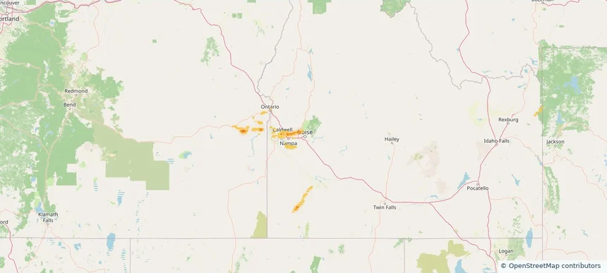
Boise City, ID — June 26, 2026 — regional hail footprint preview
Storm footprint preview

Local hail summary for the Boise City area: 2.13 square miles of estimated ground-hail footprint; highest mapped band 1+ inches. 0 official hail report(s) within the summary area. Exposure estimates are not confirmed property damage. Open the map to explore the full coverage included in your access. Statistics cover the mapped hail footprint inside the Census boundary of Boise City, ID, not the entire region. The place had 235,684 residents in the 2020 Census. A boundary intersection does not mean the whole community was hit. Estimated housing exposure: 1,192 units in 1-inch-or-larger bands, including 0 in 1.5-inch-or-larger bands and 0 in 2-inch-or-larger bands.

Affected states: Boise City area, ID
1+ inRadar size estimate 5,051Population Affected 2,228Houses Affected HailHazards FreeAccount signup
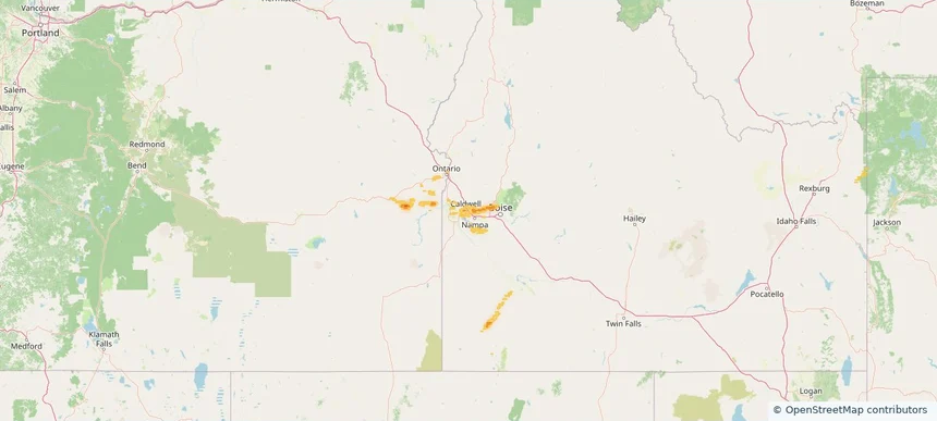
Caldwell, ID — June 26, 2026 — regional hail footprint preview
Storm footprint preview

Local hail summary for the Caldwell area: 20.32 square miles of estimated ground-hail footprint; highest mapped band 1+ inches. 0 official hail report(s) within the summary area. Exposure estimates are not confirmed property damage. Open the map to explore the full coverage included in your access. Statistics cover the mapped hail footprint inside the Census boundary of Caldwell, ID, not the entire region. The place had 59,996 residents in the 2020 Census. A boundary intersection does not mean the whole community was hit. Estimated housing exposure: 6,289 units in 1-inch-or-larger bands, including 0 in 1.5-inch-or-larger bands and 0 in 2-inch-or-larger bands.

Affected states: Caldwell area, ID
1+ inRadar size estimate 51,003Population Affected 17,097Houses Affected HailHazards FreeAccount signup
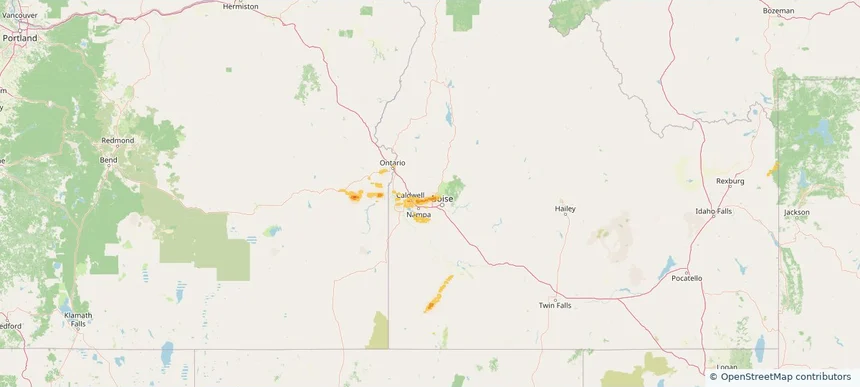
Eagle, ID — June 26, 2026 — regional hail footprint preview
Storm footprint preview

Local hail summary for the Eagle area: 12.89 square miles of estimated ground-hail footprint; highest mapped band 1+ inches. 0 official hail report(s) within the summary area. Exposure estimates are not confirmed property damage. Open the map to explore the full coverage included in your access. Statistics cover the mapped hail footprint inside the Census boundary of Eagle, ID, not the entire region. The place had 30,346 residents in the 2020 Census. A boundary intersection does not mean the whole community was hit. Estimated housing exposure: 5,097 units in 1-inch-or-larger bands, including 0 in 1.5-inch-or-larger bands and 0 in 2-inch-or-larger bands.

Affected states: Eagle area, ID
1+ inRadar size estimate 23,412Population Affected 9,590Houses Affected HailHazards FreeAccount signup
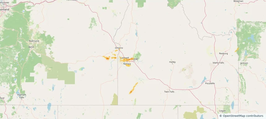
Garden City, ID — June 26, 2026 — regional hail footprint preview
Storm footprint preview

Local hail summary for the Garden City area: 0.72 square miles of estimated ground-hail footprint; highest mapped band 1+ inches. 0 official hail report(s) within the summary area. Exposure estimates are not confirmed property damage. Open the map to explore the full coverage included in your access. Statistics cover the mapped hail footprint inside the Census boundary of Garden City, ID, not the entire region. The place had 12,316 residents in the 2020 Census. A boundary intersection does not mean the whole community was hit. Estimated housing exposure: 341 units in 1-inch-or-larger bands, including 0 in 1.5-inch-or-larger bands and 0 in 2-inch-or-larger bands.

Affected states: Garden City area, ID
1+ inRadar size estimate 2,010Population Affected 872Houses Affected HailHazards FreeAccount signup
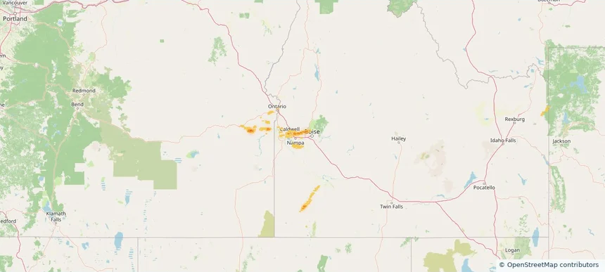
Meridian, ID — June 26, 2026 — regional hail footprint preview
Storm footprint preview

Local hail summary for the Meridian area: 5.78 square miles of estimated ground-hail footprint; highest mapped band 1+ inches. 0 official hail report(s) within the summary area. Exposure estimates are not confirmed property damage. Open the map to explore the full coverage included in your access. Statistics cover the mapped hail footprint inside the Census boundary of Meridian, ID, not the entire region. The place had 117,635 residents in the 2020 Census. A boundary intersection does not mean the whole community was hit. Estimated housing exposure: 4,090 units in 1-inch-or-larger bands, including 0 in 1.5-inch-or-larger bands and 0 in 2-inch-or-larger bands.

Affected states: Meridian area, ID
1+ inRadar size estimate 18,592Population Affected 5,996Houses Affected HailHazards FreeAccount signup
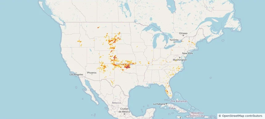
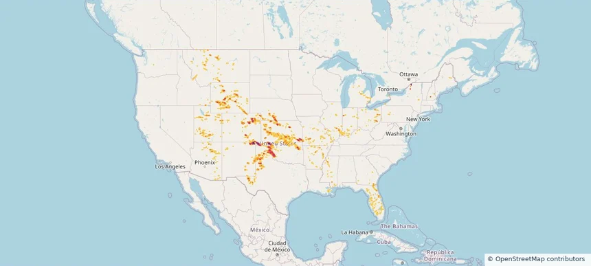
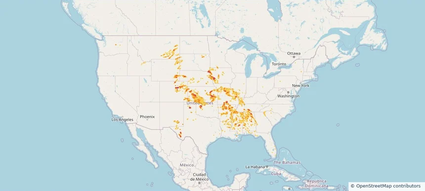
Nationwide Daily Hail, Wind & Tornado Map - June 26, 2026 — regional hail footprint preview
Storm footprint preview
Jun 25, 2026 10:00 PM to Jun 27, 2026 1:45 AM CST

Nationwide Daily Hail, Wind & Tornado Map - June 26, 2026

Hail as large as 2.00 inches was reported near Guthrie, OK. Wind up to 110 mph was reported near 3 miles southeast of Breckenridge, OK. 9 tornadoes were reported, including one near 4 miles north-northeast of Wilson City, MO. The storm had 11 official hail reports.

Affected states: National, AZ, AR, CO, FL, GA, ID, IL, IN, KS, KY, MD, MA, MO, MT, NE, NH, NM, NY, NC, ND, OK, OR, SC, SD, TN, TX, UT, VT, VA, WY
3.5 inRadar size estimate 777,764Population Affected 330,473Houses Affected Hail · Wind · TornadoHazards FreeAccount signup
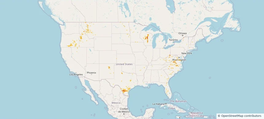
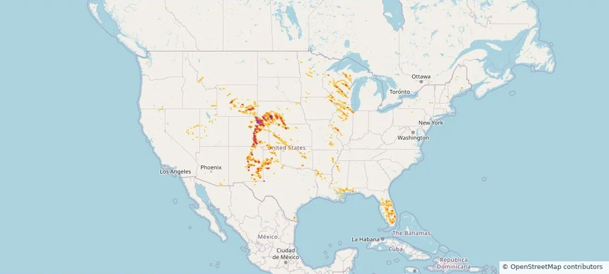
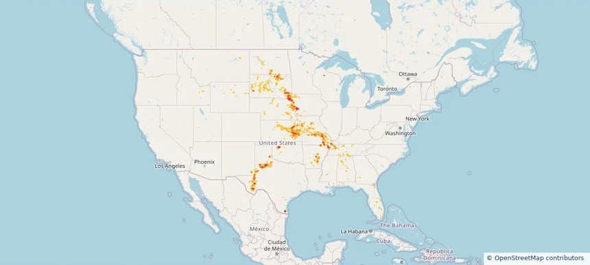
Nationwide Daily Hail, Wind & Tornado Map - June 25, 2026 — regional hail footprint preview
Storm footprint preview
Jun 24, 2026 10:00 PM to Jun 26, 2026 1:45 AM CST

Nationwide Daily Hail, Wind & Tornado Map - June 25, 2026

Hail as large as 2.50 inches was reported near Boise City, OK. Wind up to 127 mph was reported near 2 miles northeast of Slaton, TX. 4 tornadoes were reported, including one near 11 miles north-northeast of Jeffrey City, WY. The storm had 25 official hail reports.

Affected states: National, AZ, AR, CO, FL, GA, ID, IL, IN, KS, KY, LA, MI, MS, MO, MT, NE, NH, NM, NY, OH, OK, PA, TX, UT, WY
4.39 inRadar size estimate 1,071,122Population Affected 470,096Houses Affected Hail · Wind · TornadoHazards FreeAccount signup
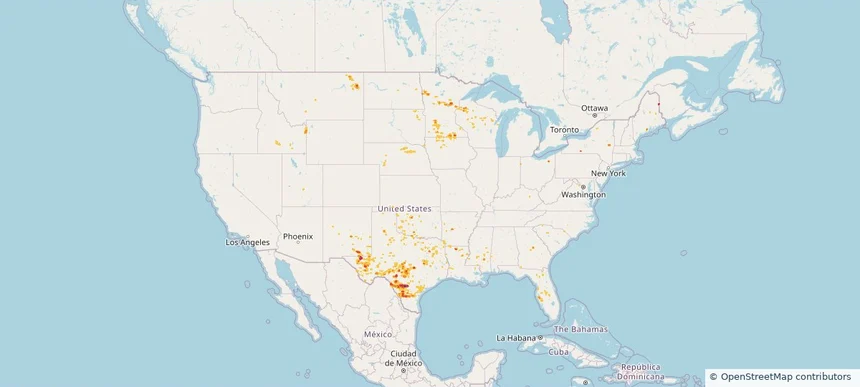
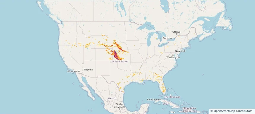
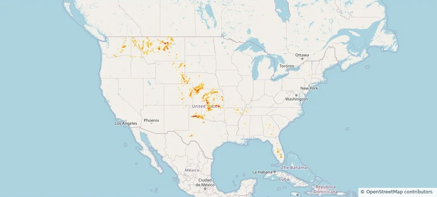
Nationwide Daily Hail, Wind & Tornado Map - June 24, 2026 — regional hail footprint preview
Storm footprint preview
Jun 23, 2026 10:00 PM to Jun 25, 2026 1:45 AM CST

Nationwide Daily Hail, Wind & Tornado Map - June 24, 2026

Hail as large as 3.20 inches was reported near 5 miles south of Dailey, CO. Wind up to 96 mph was reported near 1 mile north-northwest of Akron, CO. 8 tornadoes were reported, including one near 3 miles west-southwest of Huntley, IL. The storm had 47 official hail reports.

Affected states: National, AL, AZ, AR, CA, CO, FL, ID, IL, IN, IA, KS, LA, MI, MN, MS, MO, MT, NE, NV, NM, OK, TX, UT, WA, WI, WY
3.5 inRadar size estimate 1,897,132Population Affected 786,049Houses Affected Hail · Wind · TornadoHazards FreeAccount signup
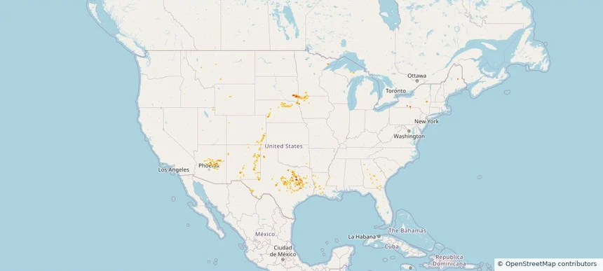
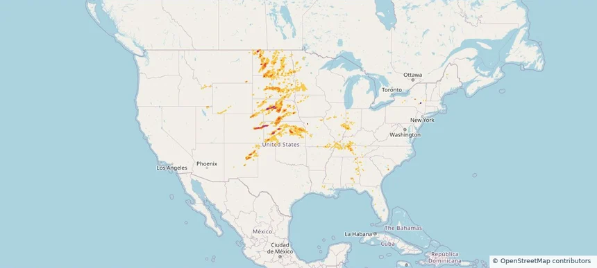
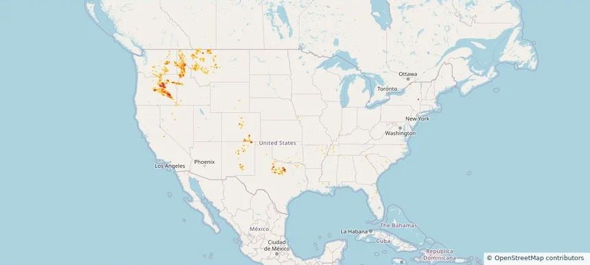
Nationwide Daily Hail, Wind & Tornado Map - June 20, 2026 — regional hail footprint preview
Storm footprint preview
Jun 19, 2026 10:00 PM to Jun 21, 2026 1:45 AM CST

Nationwide Daily Hail, Wind & Tornado Map - June 20, 2026

Hail as large as 3.00 inches was reported near 2 miles north-northwest of Stratton, NE. Wind up to 115 mph was reported near 2 miles northeast of Colby, KS. 12 tornadoes were reported, including one near 7 miles north of Tivoli, TX. The storm had 21 official hail reports.

Affected states: National, AL, CA, CO, FL, GA, ID, KS, LA, MI, MS, MT, NE, NV, NY, OH, OR, PA, SD, TX, UT, WY
4.01 inRadar size estimate 269,284Population Affected 117,603Houses Affected Hail · Wind · TornadoHazards FreeAccount signup
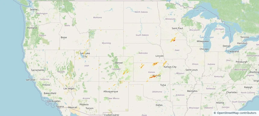
Nationwide Daily Hail, Wind & Tornado Map - June 9, 2026 — regional hail footprint preview
Storm footprint preview
Jun 8, 2026 10:00 PM to Jun 10, 2026 1:45 AM CST

Nationwide Daily Hail, Wind & Tornado Map - June 9, 2026

Hail as large as 4.00 inches was reported near 13 miles south of Bethune, CO. Wind up to 128 mph was reported near 1 mile west-northwest of Gypsum, KS. 6 tornadoes were reported, including one near 2 miles southwest of Grand Ledge, MI. The storm had 18 official hail reports.

Affected states: National, AL, AR, CO, GA, ID, IL, IN, IA, KS, KY, MI, MN, MO, MT, NE, NM, NY, ND, OH, OK, SD, TN, TX, UT, WY
2.96 inRadar size estimate 565,178Population Affected 249,545Houses Affected Hail · Wind · TornadoHazards FreeAccount signup
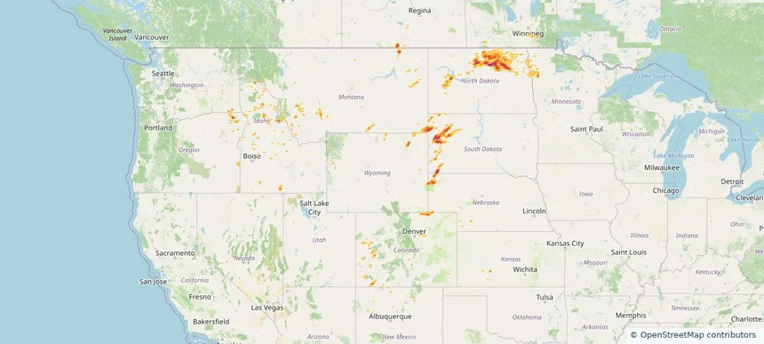
Nationwide Daily Hail, Wind & Tornado Map - June 1, 2026 — regional hail footprint preview
Storm footprint preview
May 31, 2026 10:00 PM to Jun 2, 2026 2:00 AM CST

Nationwide Daily Hail, Wind & Tornado Map - June 1, 2026

Hail as large as 3.50 inches was reported near Gridley, KS. Wind up to 94 mph was reported near Kansas City Downtown, MO. 2 tornadoes were reported, including one near 2 miles northwest of Madison, KS. The storm had 37 official hail reports.

Affected states: National, AL, AR, CO, FL, GA, ID, IL, IA, KS, KY, LA, MN, MS, MO, MT, NE, NM, NC, OK, SC, SD, TN, TX, WY
3.0 inRadar size estimate 2,547,518Population Affected 1,113,027Houses Affected Hail · Wind · TornadoHazards FreeAccount signup
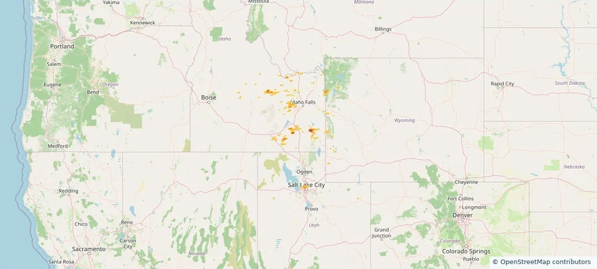
Nationwide Daily Hail, Wind & Tornado Map - May 31, 2026 — regional hail footprint preview
Storm footprint preview
May 30, 2026 10:00 PM to Jun 1, 2026 1:51 AM CST

Nationwide Daily Hail, Wind & Tornado Map - May 31, 2026

Hail as large as 3.50 inches was reported near Gridley, KS. Wind up to 94 mph was reported near Kansas City Downtown, MO. 4 tornadoes were reported, including one near 1 mile northwest of Bridgewater, SD. The storm had 22 official hail reports.

Affected states: National, AL, AR, FL, GA, ID, IL, IA, KS, KY, MS, MO, NE, NH, NM, ND, OK, SD, TN, TX, WY
3.0 inRadar size estimate 784,703Population Affected 343,037Houses Affected Hail · Wind · TornadoHazards FreeAccount signup
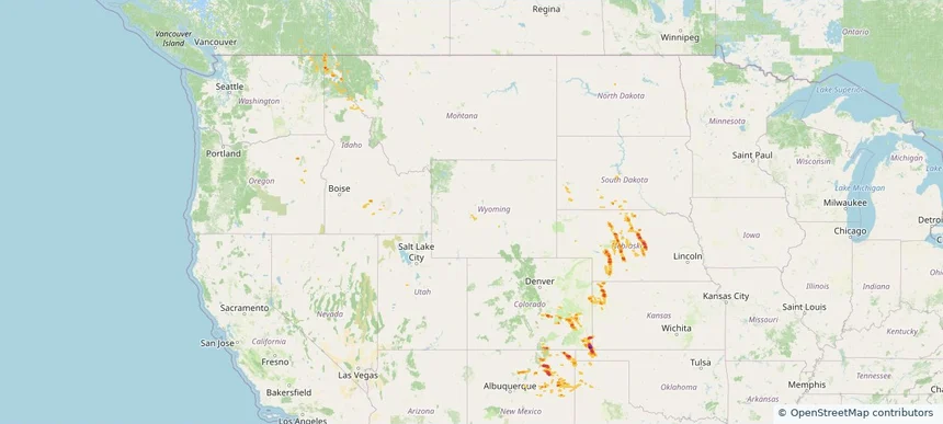
Nationwide Daily Hail, Wind & Tornado Map - May 29, 2026 — regional hail footprint preview
Storm footprint preview
May 28, 2026 10:00 PM to May 30, 2026 2:00 AM CST

Nationwide Daily Hail, Wind & Tornado Map - May 29, 2026

Hail as large as 1.75 inches was reported near 5 miles north of Happy, TX. Wind up to 89 mph was reported near 5 miles south of Tieton, WA. 2 tornadoes were reported, including one near 1 mile northeast of North Hammond, NY. The storm had 5 official hail reports.

Affected states: National, AR, CO, FL, GA, ID, KS, MS, MO, MT, NE, NM, NY, OK, OR, SD, TX, UT, WA, WY
3.0 inRadar size estimate 86,598Population Affected 42,353Houses Affected Hail · Wind · TornadoHazards FreeAccount signup
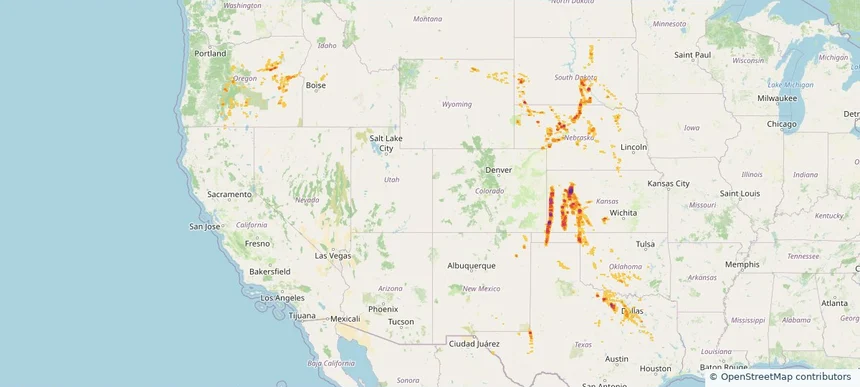
Nationwide Daily Hail & Wind Map - May 28, 2026 — regional hail footprint preview
Storm footprint preview
May 27, 2026 10:00 PM to May 29, 2026 2:00 AM CST

Nationwide Daily Hail & Wind Map - May 28, 2026

Hail as large as 1.75 inches was reported near 15 miles east of Burns, OR. Wind up to 92 mph was reported near Riley, OR. The storm had 7 official hail reports.

Affected states: National, CO, FL, ID, MT, NV, NM, NY, NC, OR, TX, WA, WY
2.94 inRadar size estimate 110,450Population Affected 52,983Houses Affected Hail · WindHazards FreeAccount signup
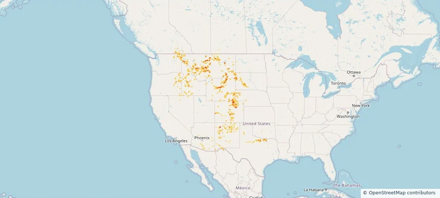
Nationwide Daily Hail, Wind & Tornado Map - May 27, 2026 — regional hail footprint preview
Storm footprint preview
May 26, 2026 10:00 PM to May 28, 2026 2:00 AM CST

Nationwide Daily Hail, Wind & Tornado Map - May 27, 2026

Hail as large as 1.75 inches was reported near 1 mile east-southeast of Rib Mountain Stat, WI. Wind up to 76 mph was reported near 1 mile north-northwest of Petronila, TX. 4 tornadoes were reported, including one near 3 miles north of New Berlin, TX. The storm had 5 official hail reports.

Affected states: National, AR, DE, FL, ID, IN, IA, MN, MT, NV, NM, NC, ND, OH, OK, OR, SC, SD, TX, VA, WV, WI
1.99 inRadar size estimate 296,603Population Affected 122,241Houses Affected Hail · Wind · TornadoHazards FreeAccount signup
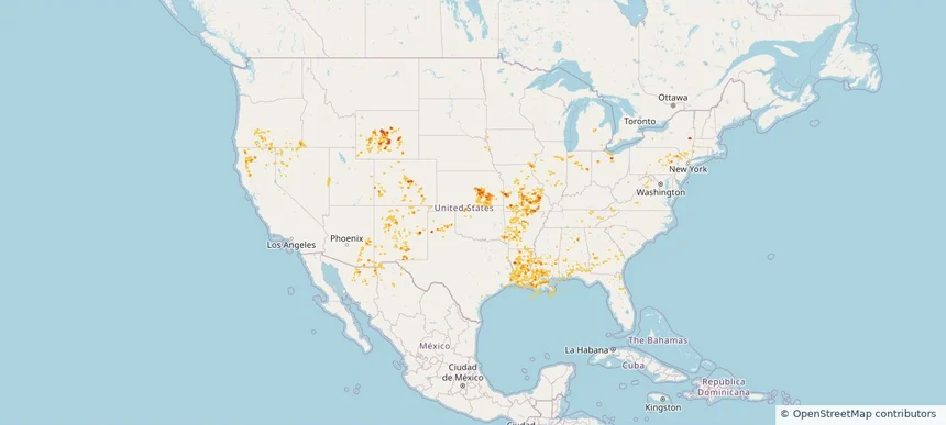
Nationwide Daily Hail, Wind & Tornado Map - May 26, 2026 — regional hail footprint preview
Storm footprint preview
May 25, 2026 10:00 PM to May 27, 2026 2:00 AM CST

Nationwide Daily Hail, Wind & Tornado Map - May 26, 2026

Hail as large as 2.00 inches was reported near 2 miles west of Lbj State Park, TX. Wind up to 91 mph was reported near 2 miles northwest of Batesville, TX. 6 tornadoes were reported, including one near 2 miles north-northeast of Parrish, FL. The storm had 9 official hail reports.

Affected states: National, AR, FL, GA, ID, IA, KY, LA, ME, MI, MN, MS, MT, NE, NM, ND, OK, SC, SD, TX, WI, WY
3.0 inRadar size estimate 188,730Population Affected 83,448Houses Affected Hail · Wind · TornadoHazards FreeAccount signup
Nationwide Daily Hail, Wind & Tornado Map - May 25, 2026 — regional hail footprint preview
Storm footprint preview
May 24, 2026 10:00 PM to May 26, 2026 2:00 AM CST

Nationwide Daily Hail, Wind & Tornado Map - May 25, 2026

Hail as large as 1.25 inches was reported near Lovington, NM. Wind up to 78 mph was reported near 21 miles west of Big Piney, WY. 5 tornadoes were reported, including one near Villa Tasso, FL. The storm had 1 official hail report.

Affected states: National, AL, AZ, CO, FL, GA, ID, IA, LA, MI, MN, MT, NE, NM, NY, OK, SD, TX, WY
2.0 inRadar size estimate 551,576Population Affected 222,040Houses Affected Hail · Wind · TornadoHazards FreeAccount signup
Historical Hail — 2026-04-11 — regional hail footprint preview
Storm footprint preview
Apr 11, 2026 7:00 AM to Apr 12, 2026 7:00 AM CST

Historical Hail — 2026-04-11

Hail as large as 1.50 inches was reported near Mt Hope, KANSAS. Wind up to 96 mph was reported near 10 miles northeast of Atlantic City, WY. 2 tornadoes were reported, including one near 4 miles west-southwest of Garden City, UT. The storm had 4 official hail reports.

Affected states: National, CO, ID, IA, KS, MN, MO, NE, NM, OK, SD, UT, WY
1.96 inRadar size estimate 12,404Population Affected 5,421Houses Affected Hail · Wind · TornadoHazards FreeAccount signup
Historical Hail — 2025-09-11 — regional hail footprint preview
Storm footprint preview
Sep 11, 2025 7:00 AM to Sep 12, 2025 7:00 AM CST

Historical Hail — 2025-09-11

Hail as large as 1.00 inches was reported near Falfa, COLORADO. Wind up to 76 mph was reported near 1 mile south-southwest of Lander, WY. 3 tornadoes were reported, including one near San Juan, UTAH. The storm had 4 official hail reports.

Affected states: National, CO, ID, KS, MN, MT, NE, NM, ND, OR, SD, UT, WA, WY
2.5 inRadar size estimate 39,169Population Affected 20,041Houses Affected Hail · Wind · TornadoHazards FreeAccount signup
Historical Hail — 2025-08-29 — regional hail footprint preview
Storm footprint preview
Aug 29, 2025 7:00 AM to Aug 30, 2025 7:00 AM CST

Historical Hail — 2025-08-29

Hail as large as 1.50 inches was reported near Sturgis, OKLAHOMA. Wind up to 109 mph was reported near Cheyenne, COLORADO. A tornado was reported near Mercer, NORTH DAKOTA. The storm had 5 official hail reports.

Affected states: National, CO, ID, KS, MT, NE, NM, OK, OR, SD, TX, WA, WY
3.0 inRadar size estimate 40,693Population Affected 19,559Houses Affected Hail · Wind · TornadoHazards FreeAccount signup
Historical Hail — 2025-08-03 — regional hail footprint preview
Storm footprint preview
Aug 3, 2025 7:00 AM to Aug 4, 2025 7:00 AM CST

Historical Hail — 2025-08-03

Hail as large as 3.00 inches was reported near Manter, KANSAS. Wind up to 110 mph was reported near 2 miles north of Dodge City, KS. 13 tornadoes were reported, including one near Hamilton, KANSAS. The storm had 14 official hail reports.

Affected states: National, CO, ID, KS, NE, NM, OK, OR, SD, TX, WY
4.19 inRadar size estimate 649,687Population Affected 273,243Houses Affected Hail · Wind · TornadoHazards FreeAccount signup
Historical Hail — 2025-07-31 — regional hail footprint preview
Storm footprint preview
Jul 31, 2025 7:00 AM to Aug 1, 2025 7:00 AM CST

Historical Hail — 2025-07-31

Hail as large as 1.25 inches was reported near (Cys)Cheyenne Airport, WYOMING. Wind up to 86 mph was reported near 10 miles west of Knolls, UT. 4 tornadoes were reported, including one near Bernalillo, NEW MEXICO. The storm had 4 official hail reports.

Affected states: National, AZ, CO, ID, MT, NE, NV, NM, OR, SD, TX, UT, WA, WY
2.5 inRadar size estimate 274,271Population Affected 118,870Houses Affected Hail · Wind · TornadoHazards FreeAccount signup
Historical Hail — 2025-07-30 — regional hail footprint preview
Storm footprint preview
Jul 30, 2025 7:00 AM to Jul 31, 2025 7:00 AM CST

Historical Hail — 2025-07-30

Hail as large as 1.00 inches was reported near Mooar, IOWA. Wind up to 83 mph was reported near 1 mile west-southwest of Allison, NM. 12 tornadoes were reported, including one near Bernalillo, NEW MEXICO. The storm had 2 official hail reports.

Affected states: National, AL, AZ, AR, CA, CO, CT, FL, GA, ID, IL, IN, IA, KS, LA, MS, MO, NE, NV, NM, NY, OH, OK, OR, PA, TN, TX, UT, VA, WV, WY
2.5 inRadar size estimate 508,659Population Affected 225,784Houses Affected Hail · Wind · TornadoHazards FreeAccount signup
Page 3 of 4
‹ 1 2 3 4 ›

Frequently asked questions

Can I search hail maps by coverage area?

Yes. The storm library supports coverage-area filtering so you can find hail maps and hail swaths in a target service area.

What kinds of storms appear in the HailMapr library?

The library focuses on published hail events, including ready storm maps and live storms once hail has been detected and a public swath is available.

Are HailMapr storm pages useful for roofers and adjusters?

Yes. They are built to help roofers, adjusters, restoration teams, and property owners review storm footprints before purchase.