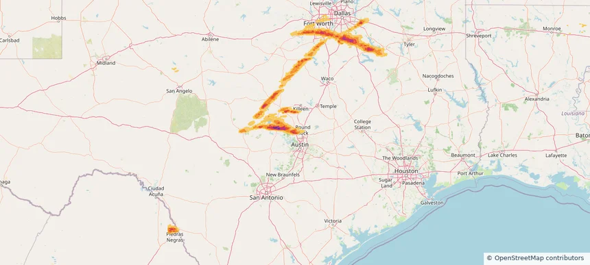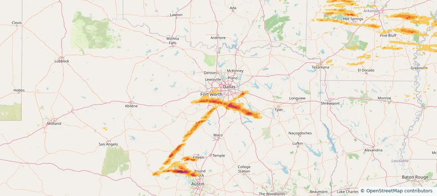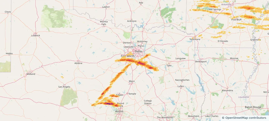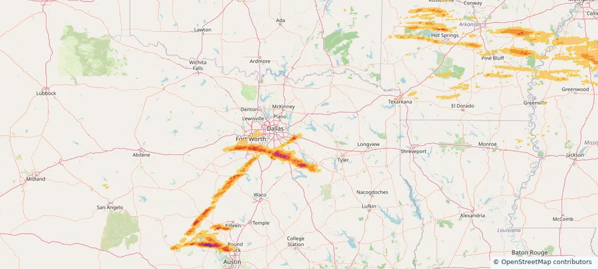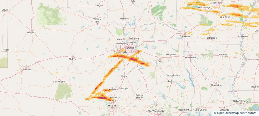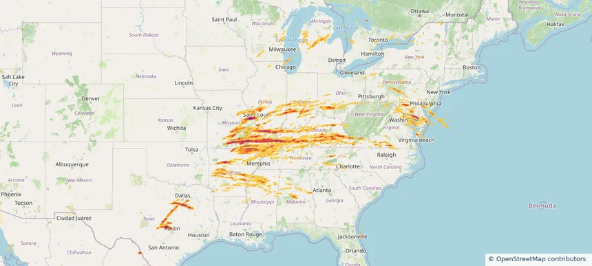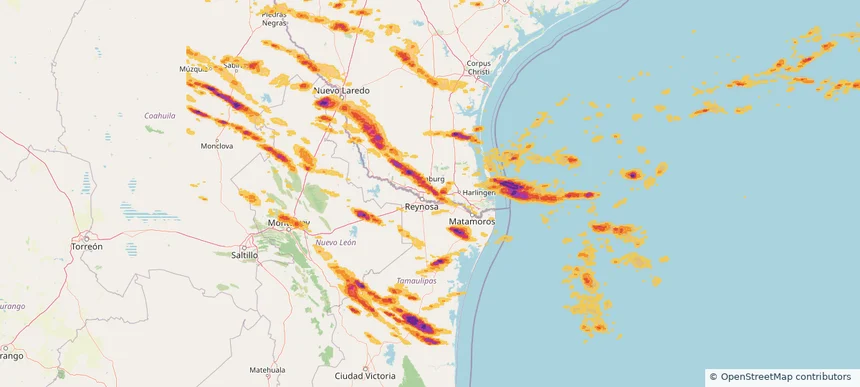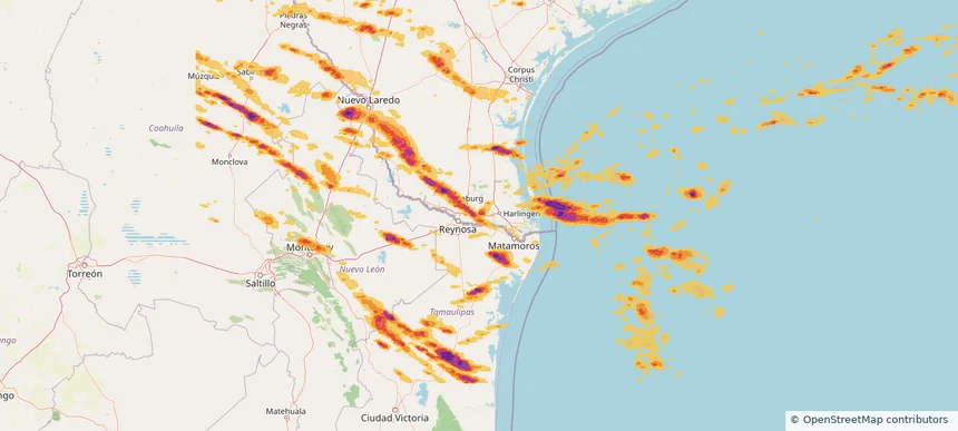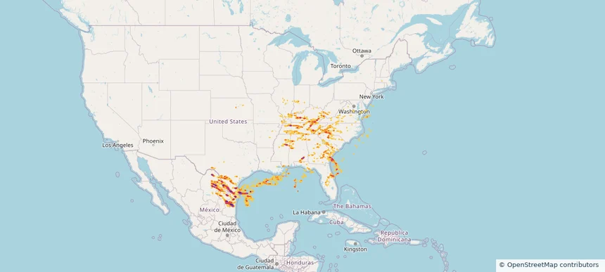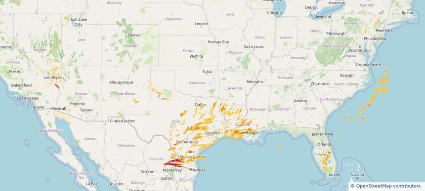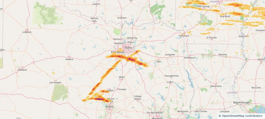
Storm footprint preview
May 16, 2025
Ennis, TX — May 16, 2025
4/5 Stone Score

Local hail summary for the Ennis area: 29.02 square miles of estimated ground-hail footprint; highest mapped band 2.5+ inches. 0 official hail report(s) within the summary area. Exposure estimates are not confirmed property damage. Open the map to explore the full coverage included in your access. Statistics cover the mapped hail footprint inside the Census boundary of Ennis, TX, not the entire region. The place had 20,159 residents in the 2020 Census. A boundary intersection does not mean the whole community was hit. Estimated housing exposure: 7,269 units in 1-inch-or-larger bands, including 6,371 in 1.5-inch-or-larger bands and 4,502 in 2-inch-or-larger bands.
Affected states:
Ennis area, TX
2.5+ inRadar size estimate
20,084Population Affected
7,274Houses Affected
HailHazards
FreeAccount signup