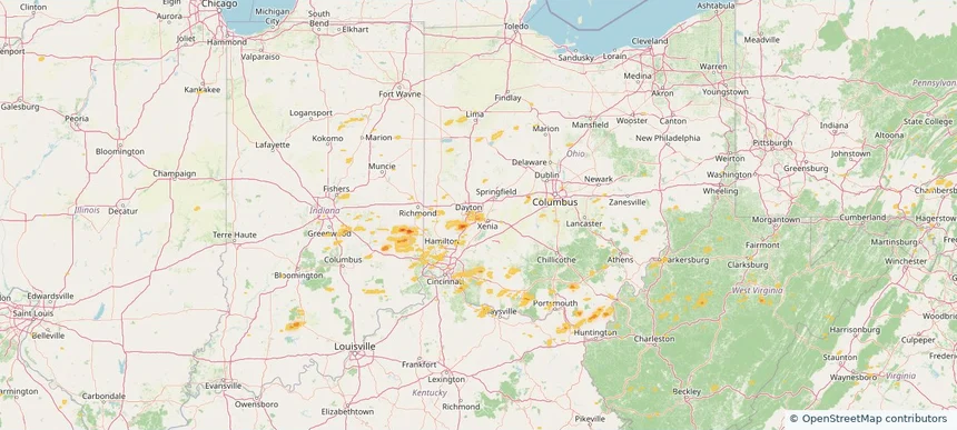
Storm library

Browse live and recent hail maps.

Review storm footprints, hail swaths, reports, and replay access. Create a free account to save your setup and move into map access when a storm matters.

Search filters
Clear
Newest storms first by default.
Don't see your storm? Request a qualifying storm map and we'll email you when it is ready.
Showing 25-48 of 148 storms · Page 2 of 7
‹ 1 2 3 7 ›
Request a storm map

Tell us about the storm and we'll build the map. Once it's published you'll get an email and can purchase it from the library — just like any other event.

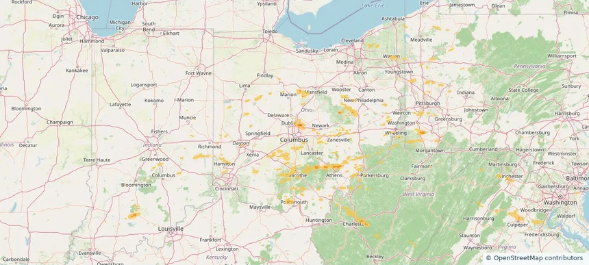
Bay Village, OH — August 22, 2026 — regional hail footprint preview
Storm footprint preview

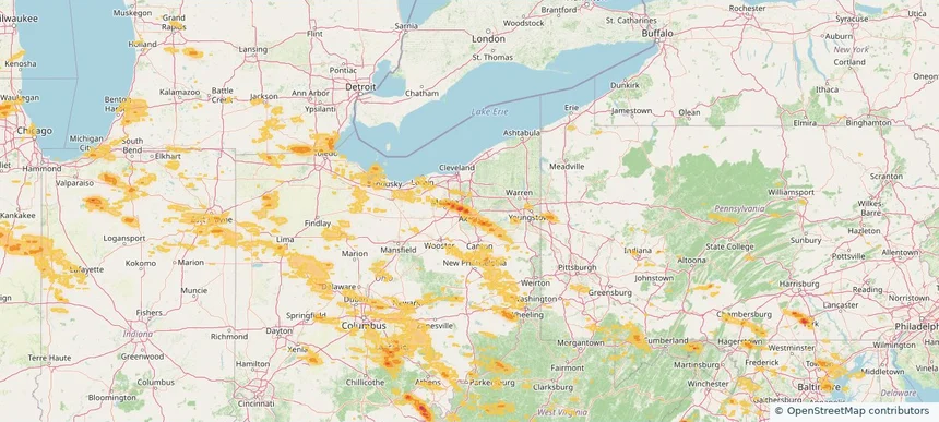
Local hail summary for the Bay Village area: 2.29 square miles of estimated ground-hail footprint; highest mapped band 1+ inches. 0 official hail report(s) within the summary area. Exposure estimates are not confirmed property damage. Open the map to explore the full coverage included in your access. Statistics cover the mapped hail footprint inside the Census boundary of Bay Village, OH, not the entire region. The place had 16,163 residents in the 2020 Census. A boundary intersection does not mean the whole community was hit. Estimated housing exposure: 1,406 units in 1-inch-or-larger bands, including 0 in 1.5-inch-or-larger bands and 0 in 2-inch-or-larger bands.

Affected states: Bay Village area, OH
1+ inRadar size estimate 8,028Population Affected 3,498Houses Affected HailHazards FreeAccount signup
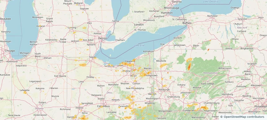
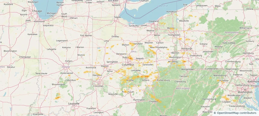
Euclid, OH — August 22, 2026 — regional hail footprint preview
Storm footprint preview

Local hail summary for the Euclid area: 3.20 square miles of estimated ground-hail footprint; highest mapped band 1+ inches. 1 official hail report(s) within the summary area. Exposure estimates are not confirmed property damage. Open the map to explore the full coverage included in your access. Statistics cover the mapped hail footprint inside the Census boundary of Euclid, OH, not the entire region. The place had 49,692 residents in the 2020 Census. A boundary intersection does not mean the whole community was hit. Estimated housing exposure: 2,277 units in 1-inch-or-larger bands, including 0 in 1.5-inch-or-larger bands and 0 in 2-inch-or-larger bands.

Affected states: Euclid area, OH
1+ inRadar size estimate 15,695Population Affected 8,055Houses Affected HailHazards FreeAccount signup
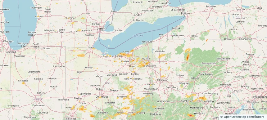
Hudson, OH — August 22, 2026 — regional hail footprint preview
Storm footprint preview

Local hail summary for the Hudson area: 7.54 square miles of estimated ground-hail footprint; highest mapped band 1+ inches. 0 official hail report(s) within the summary area. Exposure estimates are not confirmed property damage. Open the map to explore the full coverage included in your access. Statistics cover the mapped hail footprint inside the Census boundary of Hudson, OH, not the entire region. The place had 23,110 residents in the 2020 Census. A boundary intersection does not mean the whole community was hit. Estimated housing exposure: 1,474 units in 1-inch-or-larger bands, including 0 in 1.5-inch-or-larger bands and 0 in 2-inch-or-larger bands.

Affected states: Hudson area, OH
1+ inRadar size estimate 9,115Population Affected 3,601Houses Affected HailHazards FreeAccount signup
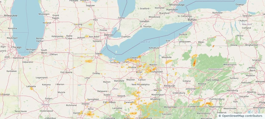
Rocky River, OH — August 22, 2026 — regional hail footprint preview
Storm footprint preview

Local hail summary for the Rocky River area: 1.72 square miles of estimated ground-hail footprint; highest mapped band 1+ inches. 0 official hail report(s) within the summary area. Exposure estimates are not confirmed property damage. Open the map to explore the full coverage included in your access. Statistics cover the mapped hail footprint inside the Census boundary of Rocky River, OH, not the entire region. The place had 21,755 residents in the 2020 Census. A boundary intersection does not mean the whole community was hit. Estimated housing exposure: 591 units in 1-inch-or-larger bands, including 0 in 1.5-inch-or-larger bands and 0 in 2-inch-or-larger bands.

Affected states: Rocky River area, OH
1+ inRadar size estimate 5,884Population Affected 2,973Houses Affected HailHazards FreeAccount signup
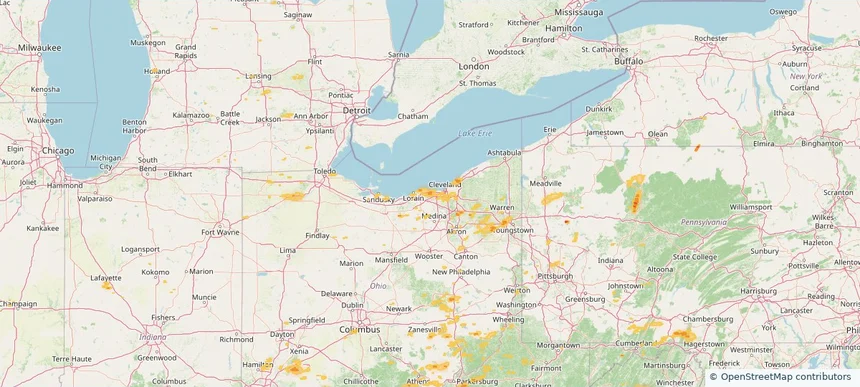
Westlake, OH — August 22, 2026 — regional hail footprint preview
Storm footprint preview

Local hail summary for the Westlake area: 11.38 square miles of estimated ground-hail footprint; highest mapped band 1+ inches. 0 official hail report(s) within the summary area. Exposure estimates are not confirmed property damage. Open the map to explore the full coverage included in your access. Statistics cover the mapped hail footprint inside the Census boundary of Westlake, OH, not the entire region. The place had 34,228 residents in the 2020 Census. A boundary intersection does not mean the whole community was hit. Estimated housing exposure: 2,069 units in 1-inch-or-larger bands, including 0 in 1.5-inch-or-larger bands and 0 in 2-inch-or-larger bands.

Affected states: Westlake area, OH
1+ inRadar size estimate 26,969Population Affected 12,025Houses Affected HailHazards FreeAccount signup
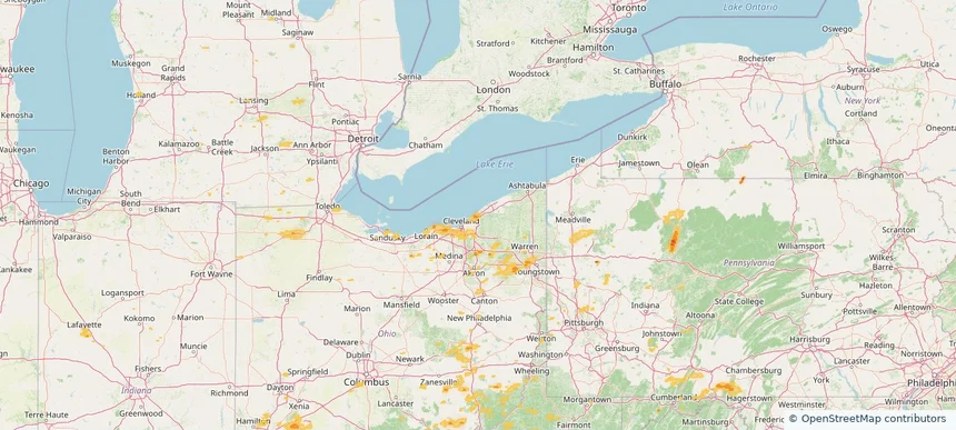
Wickliffe, OH — August 22, 2026 — regional hail footprint preview
Storm footprint preview

Local hail summary for the Wickliffe area: 3.42 square miles of estimated ground-hail footprint; highest mapped band 1+ inches. 0 official hail report(s) within the summary area. Exposure estimates are not confirmed property damage. Open the map to explore the full coverage included in your access. Statistics cover the mapped hail footprint inside the Census boundary of Wickliffe, OH, not the entire region. The place had 12,652 residents in the 2020 Census. A boundary intersection does not mean the whole community was hit. Estimated housing exposure: 1,012 units in 1-inch-or-larger bands, including 0 in 1.5-inch-or-larger bands and 0 in 2-inch-or-larger bands.

Affected states: Wickliffe area, OH
1+ inRadar size estimate 9,038Population Affected 4,192Houses Affected HailHazards FreeAccount signup
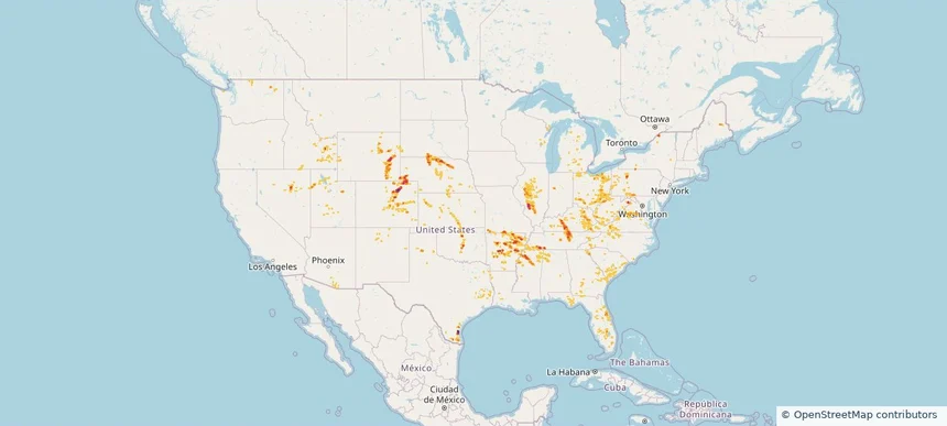
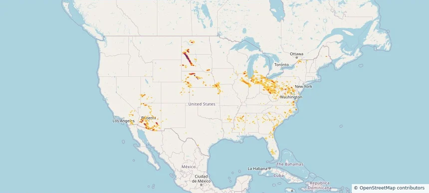
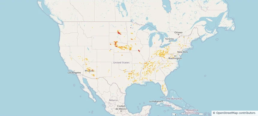
Nationwide Daily Hail, Wind & Tornado Map - August 22, 2026 — regional hail footprint preview
Storm footprint preview
Aug 21, 2026 10:00 PM to Aug 23, 2026 1:45 AM CST

Nationwide Daily Hail, Wind & Tornado Map - August 22, 2026

Hail as large as 2.50 inches was reported near Highland, IL. Wind up to 94 mph was reported near 3 miles north-northwest of Taber, ID. 3 tornadoes were reported, including one near 3 miles northwest of Ramey, PA. The storm had 34 official hail reports.

Affected states: National, AL, AZ, AR, CO, FL, GA, ID, IL, IN, KS, KY, LA, MD, MI, MS, MO, MT, NE, NV, NM, NC, OH, OK, PA, SC, SD, TN, TX, UT, VA, WA, WV, WI, WY
3.0 inRadar size estimate 1,337,049Population Affected 603,295Houses Affected Hail · Wind · TornadoHazards FreeAccount signup
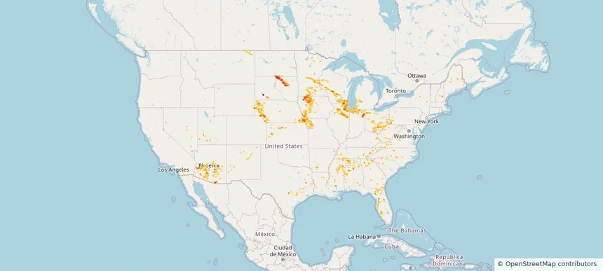
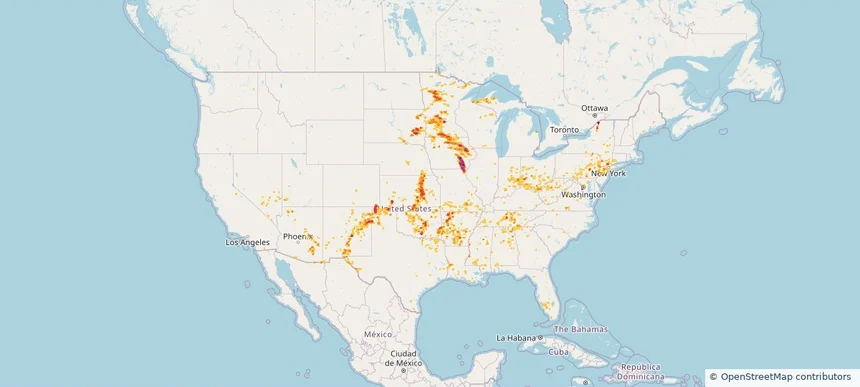
Nationwide Daily Hail, Wind & Tornado Map - August 21, 2026 — regional hail footprint preview
Storm footprint preview
Aug 20, 2026 10:00 PM to Aug 22, 2026 1:45 AM CST

Nationwide Daily Hail, Wind & Tornado Map - August 21, 2026

Hail as large as 3.00 inches was reported near 6 miles east-northeast of Oelrichs, SD. Wind up to 96 mph was reported near 2 miles east-southeast of Oakley, KS. 6 tornadoes were reported, including one near 4 miles southeast of Sublette, IL. The storm had 17 official hail reports.

Affected states: National, AL, AZ, AR, CO, FL, GA, ID, IL, IA, KS, LA, MI, MN, MS, MO, NE, NV, NM, NY, NC, OH, OK, SC, SD, TN, TX, UT, WI, WY
5.45 inRadar size estimate 1,806,710Population Affected 794,437Houses Affected Hail · Wind · TornadoHazards FreeAccount signup
Nationwide Daily Hail, Wind & Tornado Map - August 19, 2026 — regional hail footprint preview
Storm footprint preview
Aug 18, 2026 10:00 PM to Aug 20, 2026 1:45 AM CST

Nationwide Daily Hail, Wind & Tornado Map - August 19, 2026

Hail as large as 3.00 inches was reported near 8 miles south-southwest of Thurman, CO. Wind up to 94 mph was reported near 6 miles north-northwest of Greeley, NE. 7 tornadoes were reported, including one near 4 miles north-northwest of Yorktown, IN. The storm had 27 official hail reports.

Affected states: National, AL, AZ, AR, CO, FL, GA, IL, IN, IA, KS, KY, LA, ME, MS, MO, NE, NM, OH, SC, SD, TN, UT, VA, WY
4.65 inRadar size estimate 1,296,548Population Affected 575,312Houses Affected Hail · Wind · TornadoHazards FreeAccount signup
Nationwide Daily Hail, Wind & Tornado Map - August 16, 2026 — regional hail footprint preview
Storm footprint preview
Aug 15, 2026 10:00 PM to Aug 17, 2026 1:45 AM CST

Nationwide Daily Hail, Wind & Tornado Map - August 16, 2026

Hail as large as 1.50 inches was reported near 6.5 miles south of Bayard, NE. Wind up to 91 mph was reported near 6 miles west-southwest of Eli, NE. 2 tornadoes were reported, including one near 1 mile north-northeast of Harshaville, PA. The storm had 10 official hail reports.

Affected states: National, AL, AR, CO, FL, GA, ID, IL, IN, IA, KS, KY, LA, MD, MS, MO, MT, NE, NM, NC, OH, OK, OR, PA, SC, SD, TX, VA, WA, WV, WY
2.5 inRadar size estimate 541,792Population Affected 227,789Houses Affected Hail · Wind · TornadoHazards FreeAccount signup
Nationwide Daily Hail, Wind & Tornado Map - August 14, 2026 — regional hail footprint preview
Storm footprint preview
Aug 13, 2026 10:00 PM to Aug 15, 2026 1:45 AM CST

Nationwide Daily Hail, Wind & Tornado Map - August 14, 2026

Hail as large as 3.50 inches was reported near Union Mills, VA. Wind up to 104 mph was reported near 2 miles east-northeast of Barracks, VA. A tornado was reported near 2 miles east-northeast of Commerce City, CO. The storm had 9 official hail reports.

Affected states: National, AL, AZ, CA, CO, FL, GA, ID, IL, IN, IA, KS, KY, MO, MT, NE, NV, NM, NY, NC, OH, OK, OR, SC, TN, TX, UT, VA, WA, WV, WY
2.95 inRadar size estimate 874,845Population Affected 394,687Houses Affected Hail · Wind · TornadoHazards FreeAccount signup
Nationwide Daily Hail, Wind & Tornado Map - August 12, 2026 — regional hail footprint preview
Storm footprint preview
Aug 11, 2026 10:00 PM to Aug 13, 2026 1:51 AM CST

Nationwide Daily Hail, Wind & Tornado Map - August 12, 2026

Hail as large as 3.50 inches was reported near 11 miles west of Hot Springs, SD. Wind up to 118 mph was reported near 1 mile south-southwest of New Haven Airport, CT. 5 tornadoes were reported, including one near 14 miles north of Reno Junction, WY. The storm had 22 official hail reports.

Affected states: National, AL, AZ, CA, CO, CT, FL, GA, ID, IL, IN, IA, KY, MI, MN, MO, MT, NE, NV, NM, NY, NC, ND, OH, PA, SC, SD, TN, TX, UT, VT, VA, WA, WI, WY
3.5 inRadar size estimate 1,558,433Population Affected 672,634Houses Affected Hail · Wind · TornadoHazards FreeAccount signup
Troy, OH — August 11, 2026 — regional hail footprint preview
Storm footprint preview

Local hail summary for the Troy area: 6.53 square miles of estimated ground-hail footprint; highest mapped band 1+ inches. 0 official hail report(s) within the summary area. Exposure estimates are not confirmed property damage. Open the map to explore the full coverage included in your access. Statistics cover the mapped hail footprint inside the Census boundary of Troy, OH, not the entire region. The place had 26,305 residents in the 2020 Census. A boundary intersection does not mean the whole community was hit. Estimated housing exposure: 2,691 units in 1-inch-or-larger bands, including 0 in 1.5-inch-or-larger bands and 0 in 2-inch-or-larger bands.

Affected states: Troy area, OH
1+ inRadar size estimate 14,427Population Affected 6,376Houses Affected HailHazards FreeAccount signup
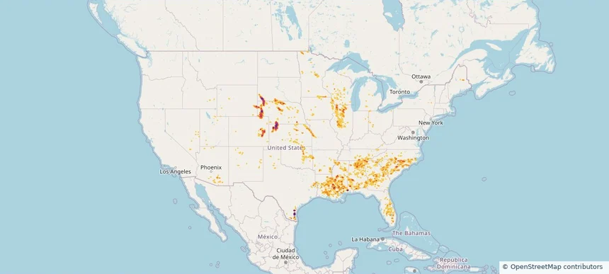
Nationwide Daily Hail, Wind & Tornado Map - August 11, 2026 — regional hail footprint preview
Storm footprint preview
Aug 10, 2026 10:00 PM to Aug 12, 2026 1:54 AM CST

Nationwide Daily Hail, Wind & Tornado Map - August 11, 2026

Hail as large as 4.50 inches was reported near 5 miles northwest of Clinton, NE. Wind up to 128 mph was reported near 13 miles northeast of Newell, SD. 29 tornadoes were reported, including one near 8 miles south-southwest of Faith, SD. The storm had 51 official hail reports.

Affected states: National, AL, AZ, CA, CT, FL, GA, IL, IN, IA, KS, KY, MD, MI, MT, NE, NJ, NM, NY, NC, ND, OH, PA, SC, SD, TN, TX, UT, VT, VA, WV, WI, WY
4.55 inRadar size estimate 3,928,776Population Affected 1,679,380Houses Affected Hail · Wind · TornadoHazards FreeAccount signup
Akron, OH — August 10, 2026 — regional hail footprint preview
Storm footprint preview

Local hail summary for the Akron area: 17.25 square miles of estimated ground-hail footprint; highest mapped band 1.5+ inches. 0 official hail report(s) within the summary area. Exposure estimates are not confirmed property damage. Open the map to explore the full coverage included in your access. Statistics cover the mapped hail footprint inside the Census boundary of Akron, OH, not the entire region. The place had 190,469 residents in the 2020 Census. A boundary intersection does not mean the whole community was hit. Estimated housing exposure: 20,467 units in 1-inch-or-larger bands, including 4,560 in 1.5-inch-or-larger bands and 0 in 2-inch-or-larger bands.

Affected states: Akron area, OH
1.5+ inRadar size estimate 58,052Population Affected 29,547Houses Affected HailHazards FreeAccount signup
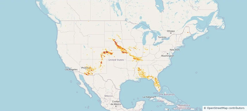
Nationwide Daily Hail, Wind & Tornado Map - August 10, 2026 — regional hail footprint preview
Storm footprint preview
Aug 9, 2026 10:00 PM to Aug 11, 2026 1:45 AM CST

Nationwide Daily Hail, Wind & Tornado Map - August 10, 2026

Hail as large as 4.50 inches was reported near 7 miles east of Prairie City, SD. Wind up to 97 mph was reported near 6 miles west-northwest of Goodyear, AZ. 8 tornadoes were reported, including one near 3 miles north-northeast of German Corner, IL. The storm had 22 official hail reports.

Affected states: National, AL, AZ, AR, CA, CO, DE, DC, FL, GA, IL, IN, IA, KS, MD, MI, MS, MO, NE, NM, NY, NC, ND, OH, PA, SC, SD, UT, VT, VA, WV, WI, WY
4.63 inRadar size estimate 2,848,097Population Affected 1,295,082Houses Affected Hail · Wind · TornadoHazards FreeAccount signup
Defiance, OH — August 09, 2026 — regional hail footprint preview
Storm footprint preview

Local hail summary for the Defiance area: 6.93 square miles of estimated ground-hail footprint; highest mapped band 1+ inches. 0 official hail report(s) within the summary area. Exposure estimates are not confirmed property damage. Open the map to explore the full coverage included in your access. Statistics cover the mapped hail footprint inside the Census boundary of Defiance, OH, not the entire region. The place had 17,066 residents in the 2020 Census. A boundary intersection does not mean the whole community was hit. Estimated housing exposure: 2,285 units in 1-inch-or-larger bands, including 0 in 1.5-inch-or-larger bands and 0 in 2-inch-or-larger bands.

Affected states: Defiance area, OH
1+ inRadar size estimate 10,060Population Affected 4,505Houses Affected HailHazards FreeAccount signup
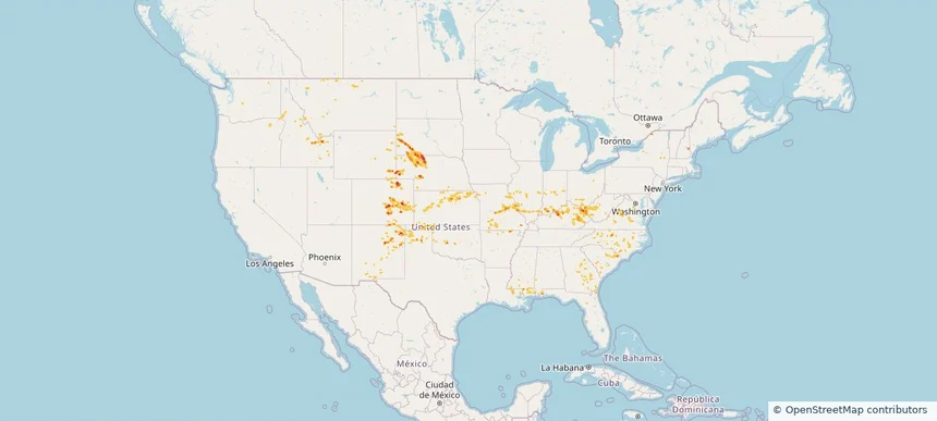
Nationwide Daily Hail, Wind & Tornado Map - August 9, 2026 — regional hail footprint preview
Storm footprint preview
Aug 8, 2026 10:00 PM to Aug 10, 2026 1:45 AM CST

Nationwide Daily Hail, Wind & Tornado Map - August 9, 2026

Hail as large as 2.50 inches was reported near 1 mile northwest of West Okoboji, IA. Wind up to 97 mph was reported near 6 miles west-northwest of Goodyear, AZ. 8 tornadoes were reported, including one near 5 miles southwest of Atkinson, IL. The storm had 11 official hail reports.

Affected states: National, AL, AZ, AR, CA, CO, FL, GA, IL, IN, IA, KS, KY, LA, MI, MN, MS, MO, MT, NE, NV, NM, NY, NC, ND, OH, PA, SC, SD, TN, TX, UT, VA, WV, WI, WY
5.91 inRadar size estimate 3,570,528Population Affected 1,491,824Houses Affected Hail · Wind · TornadoHazards FreeAccount signup
Columbus, OH — August 08, 2026 — regional hail footprint preview
Storm footprint preview

Local hail summary for the Columbus area: 0.77 square miles of estimated ground-hail footprint; highest mapped band 1+ inches. 0 official hail report(s) within the summary area. Exposure estimates are not confirmed property damage. Open the map to explore the full coverage included in your access. Statistics cover the mapped hail footprint inside the Census boundary of Columbus, OH, not the entire region. The place had 905,748 residents in the 2020 Census. A boundary intersection does not mean the whole community was hit. Estimated housing exposure: 903 units in 1-inch-or-larger bands, including 0 in 1.5-inch-or-larger bands and 0 in 2-inch-or-larger bands.

Affected states: Columbus area, OH
1+ inRadar size estimate 2,293Population Affected 1,165Houses Affected HailHazards FreeAccount signup
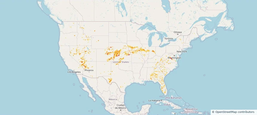
Westerville, OH — August 08, 2026 — regional hail footprint preview
Storm footprint preview

Local hail summary for the Westerville area: 1.63 square miles of estimated ground-hail footprint; highest mapped band 1+ inches. 0 official hail report(s) within the summary area. Exposure estimates are not confirmed property damage. Open the map to explore the full coverage included in your access. Statistics cover the mapped hail footprint inside the Census boundary of Westerville, OH, not the entire region. The place had 39,190 residents in the 2020 Census. A boundary intersection does not mean the whole community was hit. Estimated housing exposure: 1,332 units in 1-inch-or-larger bands, including 0 in 1.5-inch-or-larger bands and 0 in 2-inch-or-larger bands.

Affected states: Westerville area, OH
1+ inRadar size estimate 6,149Population Affected 2,256Houses Affected HailHazards FreeAccount signup
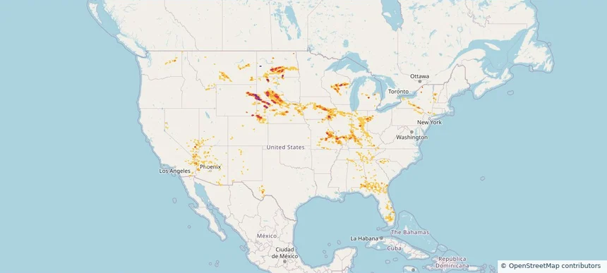
Nationwide Daily Hail, Wind & Tornado Map - August 8, 2026 — regional hail footprint preview
Storm footprint preview
Aug 7, 2026 10:00 PM to Aug 9, 2026 1:45 AM CST

Nationwide Daily Hail, Wind & Tornado Map - August 8, 2026

Hail as large as 1.50 inches was reported near Mound City, SD. Wind up to 84 mph was reported near 2 miles west-southwest of Leigh, NE. A tornado was reported near 2 miles east-northeast of Folly Beach, SC. The storm had 12 official hail reports.

Affected states: National, AL, AZ, AR, CO, CT, FL, GA, IN, IA, KS, KY, LA, ME, MD, MA, MN, MS, MO, NE, NV, NH, NJ, NM, NY, NC, ND, OH, OK, PA, SC, SD, TN, TX, UT, VT, VA, WV
2.48 inRadar size estimate 452,186Population Affected 195,183Houses Affected Hail · Wind · TornadoHazards FreeAccount signup
Beavercreek, OH — August 07, 2026 — regional hail footprint preview
Storm footprint preview

Local hail summary for the Beavercreek area: 6.64 square miles of estimated ground-hail footprint; highest mapped band 1+ inches. 1 official hail report(s) within the summary area. Exposure estimates are not confirmed property damage. Open the map to explore the full coverage included in your access. Statistics cover the mapped hail footprint inside the Census boundary of Beavercreek, OH, not the entire region. The place had 46,549 residents in the 2020 Census. A boundary intersection does not mean the whole community was hit. Estimated housing exposure: 1,443 units in 1-inch-or-larger bands, including 0 in 1.5-inch-or-larger bands and 0 in 2-inch-or-larger bands.

Affected states: Beavercreek area, OH
1+ inRadar size estimate 10,879Population Affected 4,283Houses Affected HailHazards FreeAccount signup
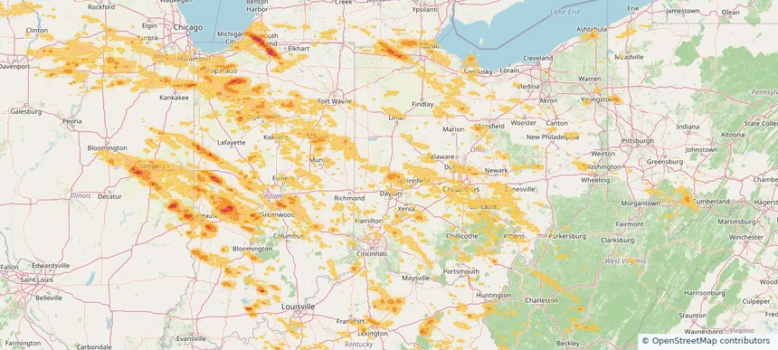
Miamisburg, OH — August 07, 2026 — regional hail footprint preview
Storm footprint preview

Local hail summary for the Miamisburg area: 9.43 square miles of estimated ground-hail footprint; highest mapped band 1.5+ inches. 0 official hail report(s) within the summary area. Exposure estimates are not confirmed property damage. Open the map to explore the full coverage included in your access. Statistics cover the mapped hail footprint inside the Census boundary of Miamisburg, OH, not the entire region. The place had 19,923 residents in the 2020 Census. A boundary intersection does not mean the whole community was hit. Estimated housing exposure: 5,742 units in 1-inch-or-larger bands, including 1,711 in 1.5-inch-or-larger bands and 0 in 2-inch-or-larger bands.

Affected states: Miamisburg area, OH
1.5+ inRadar size estimate 14,675Population Affected 6,439Houses Affected HailHazards FreeAccount signup
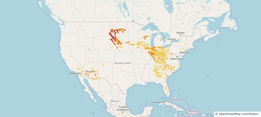
Nationwide Daily Hail, Wind & Tornado Map - August 7, 2026 — regional hail footprint preview
Storm footprint preview
Aug 6, 2026 10:00 PM to Aug 8, 2026 1:53 AM CST

Nationwide Daily Hail, Wind & Tornado Map - August 7, 2026

Hail as large as 4.50 inches was reported near Ryan, IA. Wind up to 113 mph was reported near 1 mile east-southeast of Prairieburg, IA. 4 tornadoes were reported, including one near 2 miles north of Waverly, IA. The storm had 26 official hail reports.

Affected states: National, AL, AZ, AR, CA, CO, CT, DE, FL, GA, IL, IN, IA, KS, KY, LA, MD, MA, MI, MN, MS, MO, NE, NV, NJ, NM, NY, OH, OK, PA, SD, TN, TX, UT, VA, WV, WI
3.5 inRadar size estimate 1,654,669Population Affected 689,946Houses Affected Hail · Wind · TornadoHazards FreeAccount signup
Page 2 of 7
‹ 1 2 3 7 ›

Frequently asked questions

Can I search hail maps by coverage area?

Yes. The storm library supports coverage-area filtering so you can find hail maps and hail swaths in a target service area.

What kinds of storms appear in the HailMapr library?

The library focuses on published hail events, including ready storm maps and live storms once hail has been detected and a public swath is available.

Are HailMapr storm pages useful for roofers and adjusters?

Yes. They are built to help roofers, adjusters, restoration teams, and property owners review storm footprints before purchase.