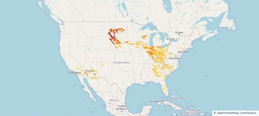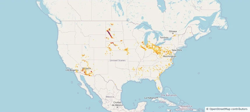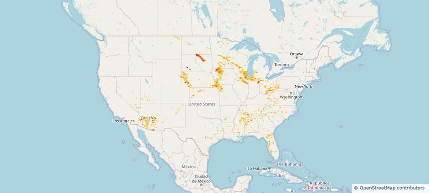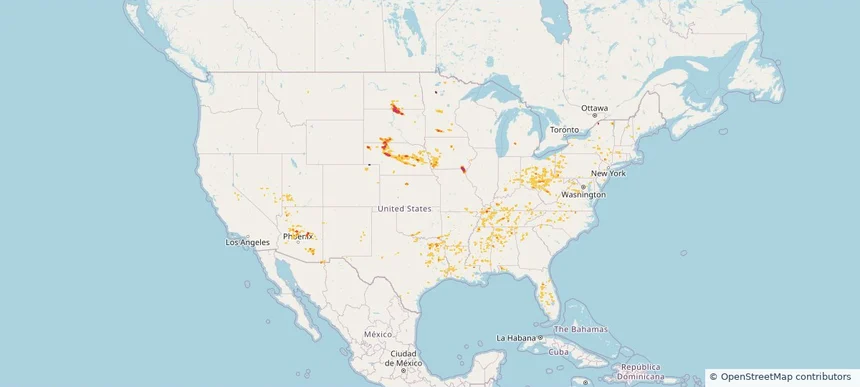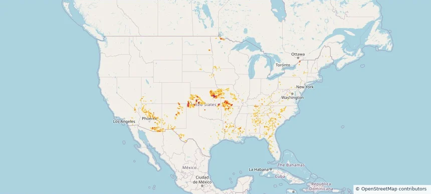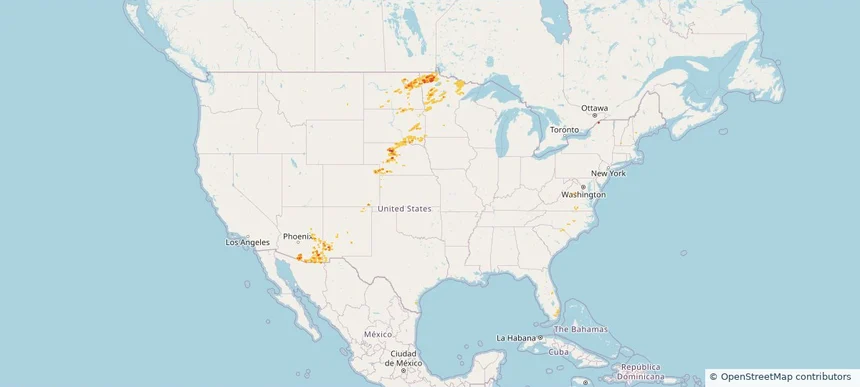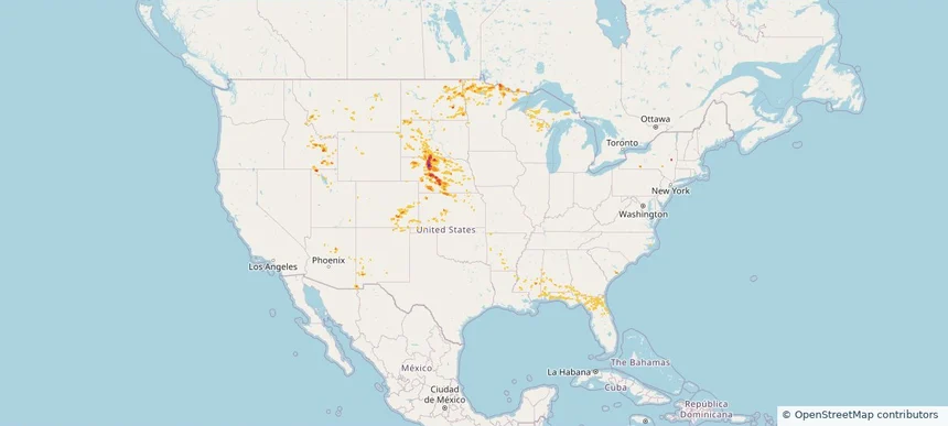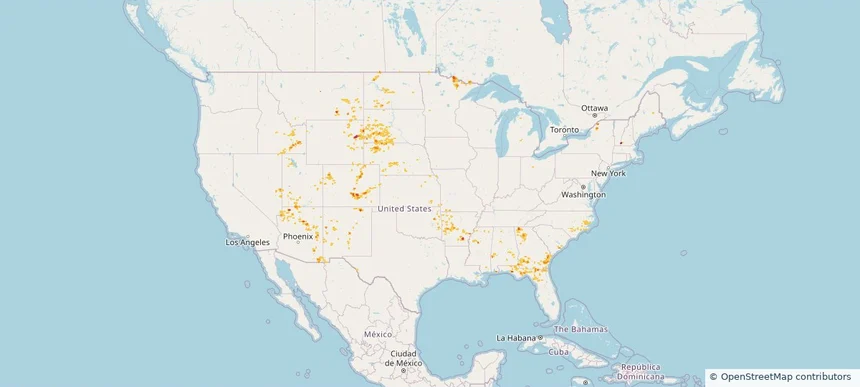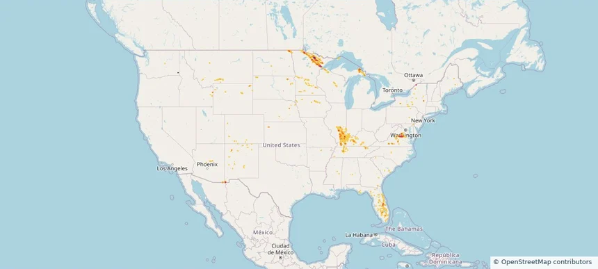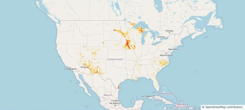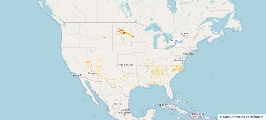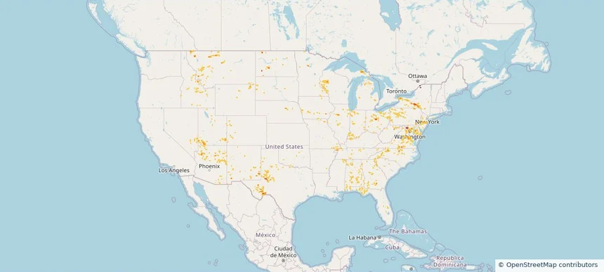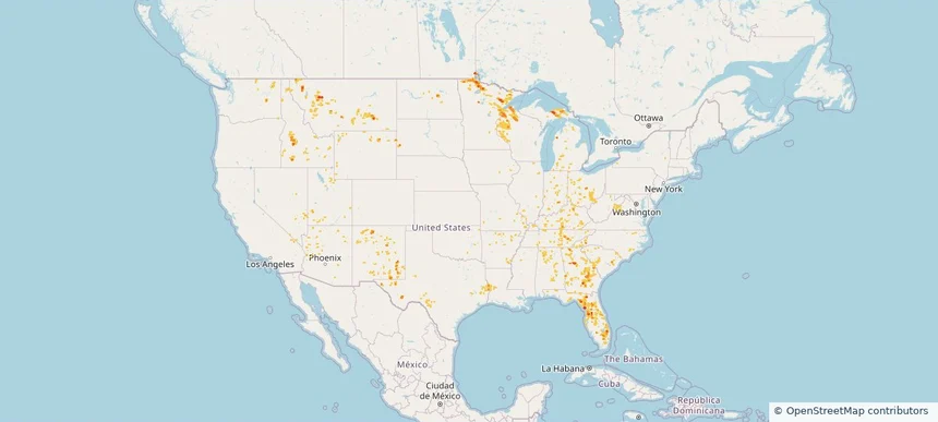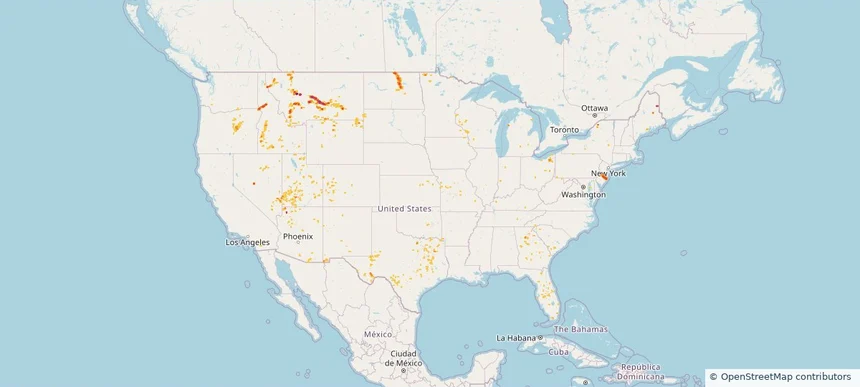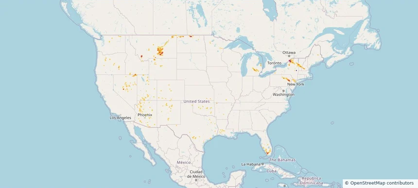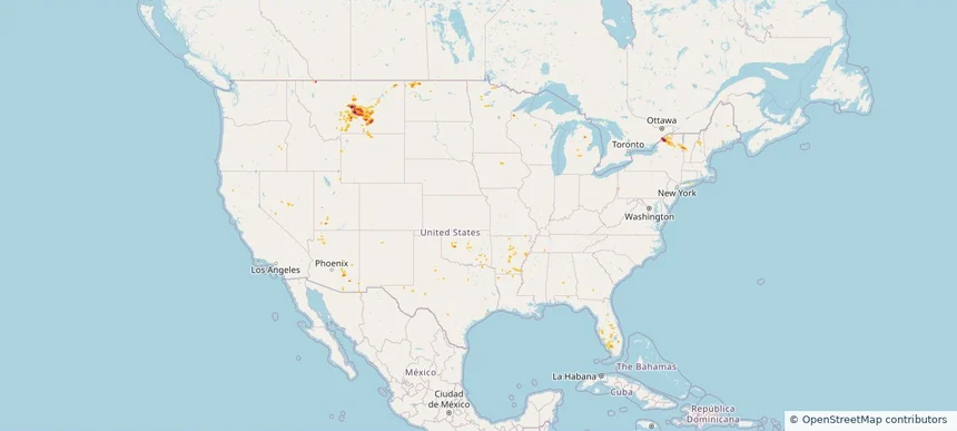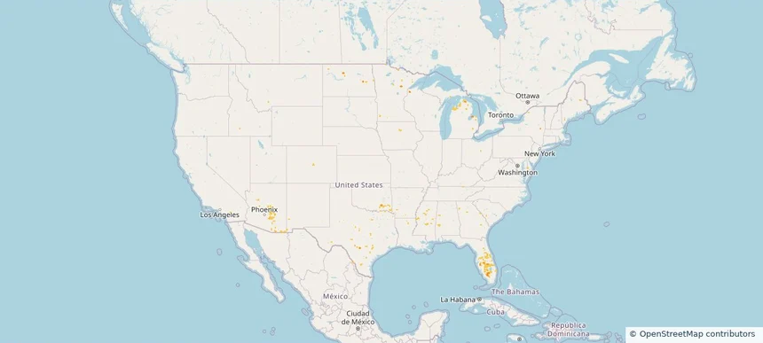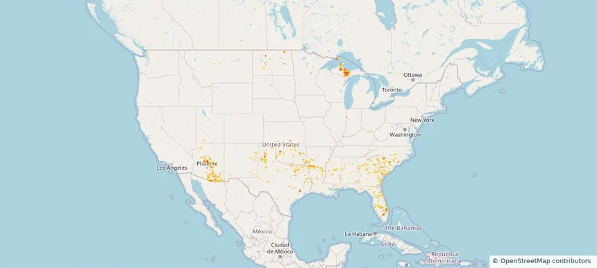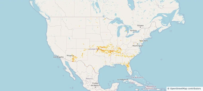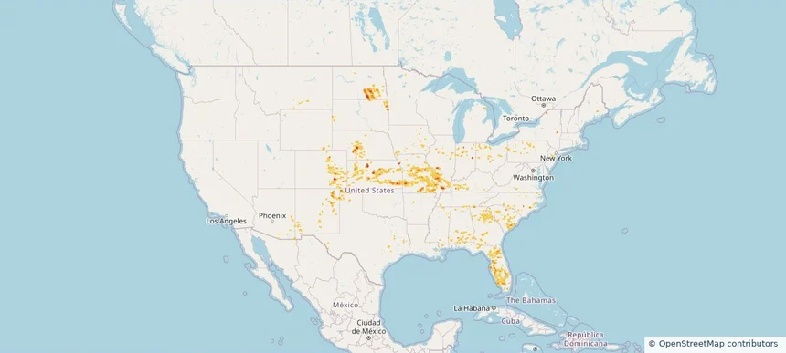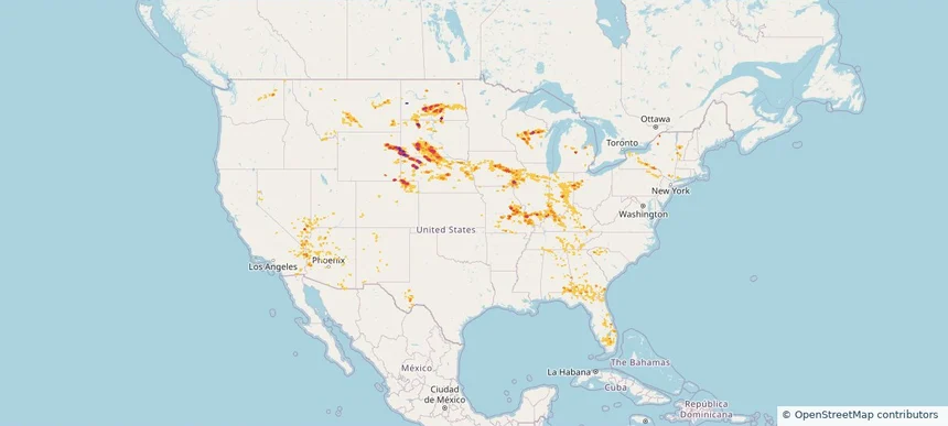
Storm footprint preview
Aug 11, 2026 10:00 PM to Aug 13, 2026 1:51 AM CST
Nationwide Daily Hail, Wind & Tornado Map - August 12, 2026
Hail as large as 3.50 inches was reported near 11 miles west of Hot Springs, SD. Wind up to 118 mph was reported near 1 mile south-southwest of New Haven Airport, CT. 5 tornadoes were reported, including one near 14 miles north of Reno Junction, WY. The storm had 22 official hail reports.
Affected states:
National, AL, AZ, CA, CO, CT, FL, GA, ID, IL, IN, IA, KY, MI, MN, MO, MT, NE, NV, NM, NY, NC, ND, OH, PA, SC, SD, TN, TX, UT, VT, VA, WA, WI, WY
3.5 inRadar size estimate
1,558,433Population Affected
672,634Houses Affected
Hail · Wind · TornadoHazards
FreeAccount signup