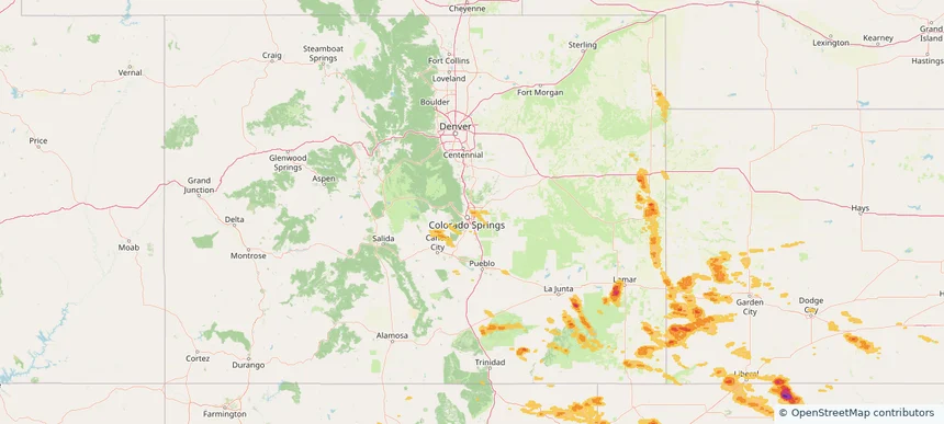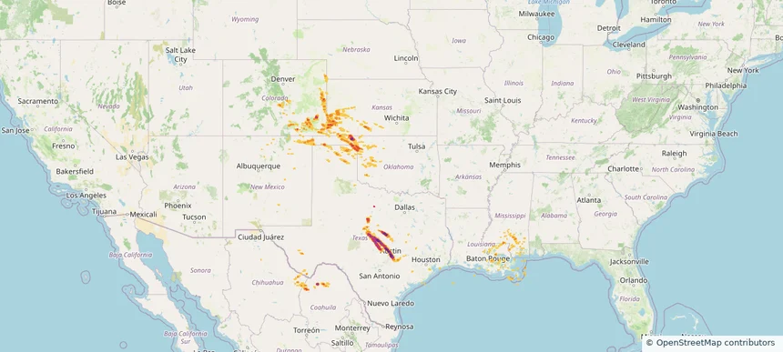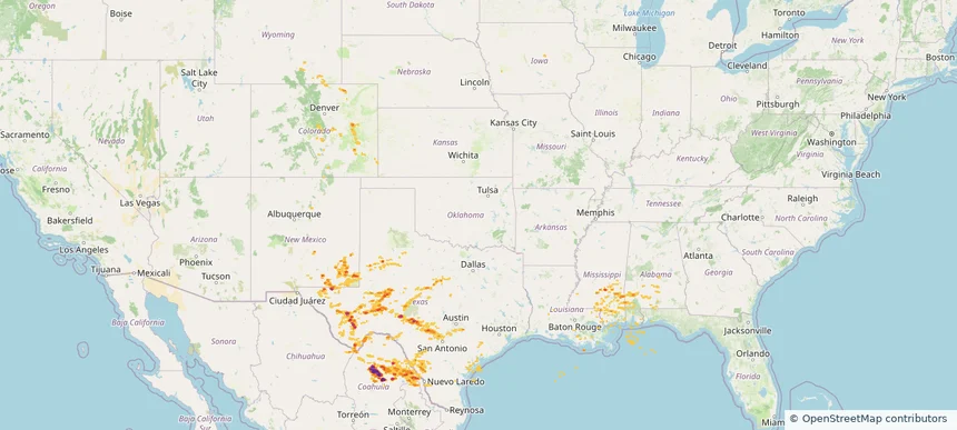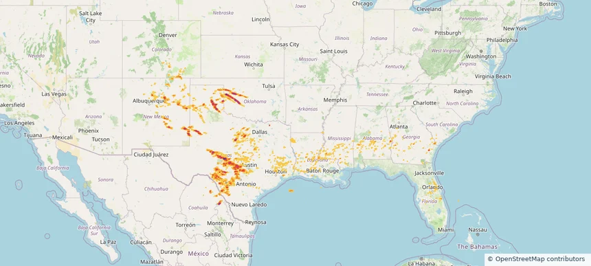
Historical Hail — 2025-06-09
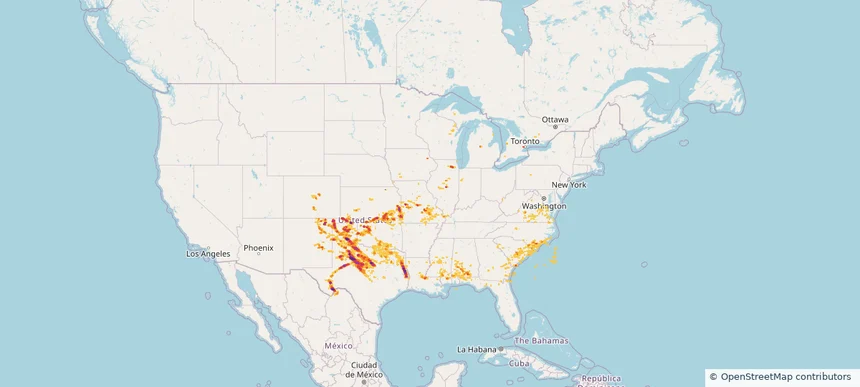
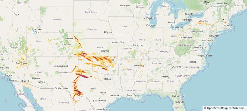
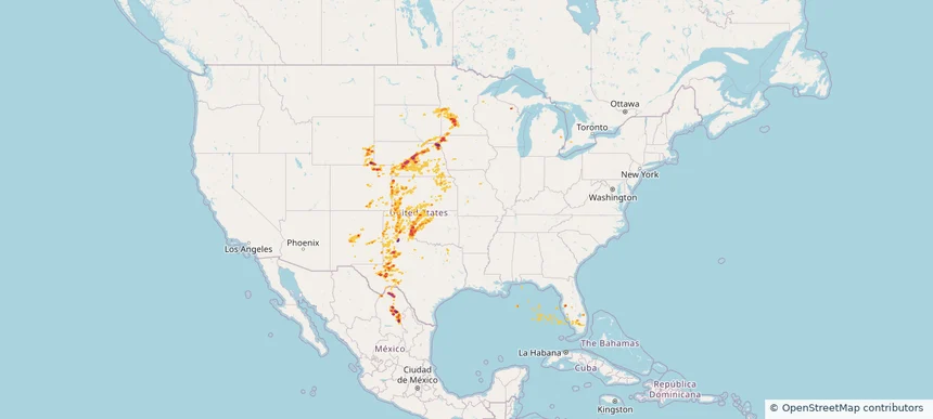
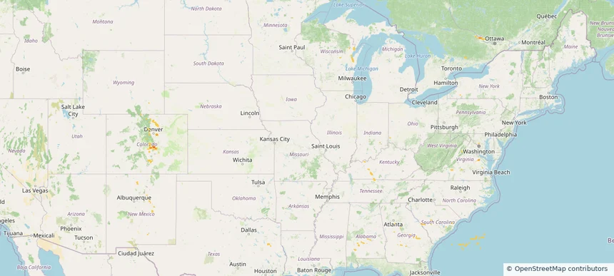
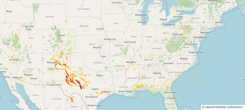
Hail as large as 3.25 inches was reported near Mertzon, TEXAS. Wind up to 96 mph was reported near Pa, PA. 33 tornadoes were reported, including one near Vermilion, LOUISIANA. The storm had 17 official hail reports.
Review storm footprints, hail swaths, reports, and replay access. Create a free account to save your setup and move into map access when a storm matters.

Hail as large as 3.25 inches was reported near Mertzon, TEXAS. Wind up to 96 mph was reported near Pa, PA. 33 tornadoes were reported, including one near Vermilion, LOUISIANA. The storm had 17 official hail reports.

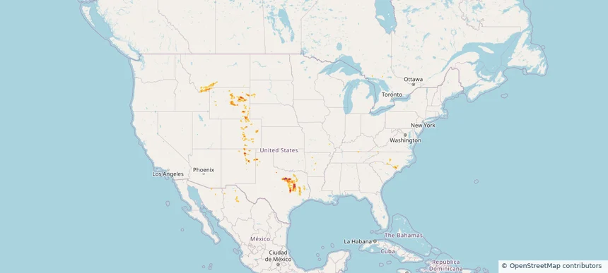
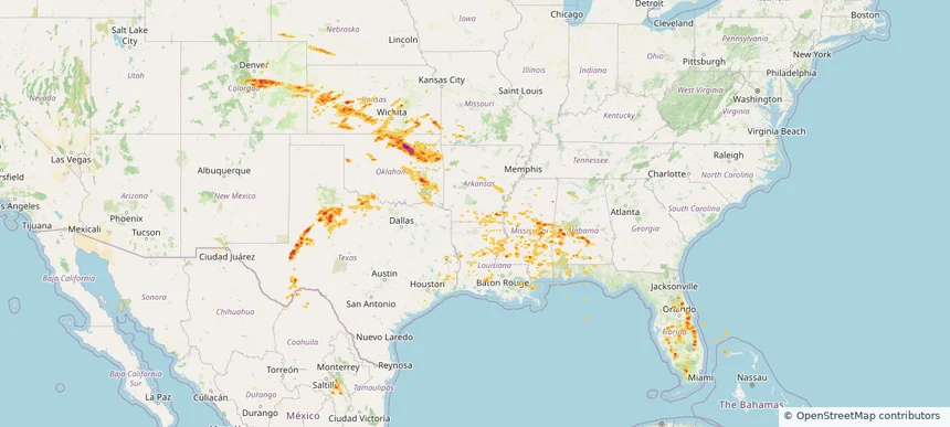
Hail as large as 2.30 inches was reported near Batavia, ILLINOIS. Wind up to 115 mph was reported near 4 miles north-northwest of Goree, TX. 43 tornadoes were reported, including one near Vermilion, LOUISIANA. The storm had 43 official hail reports.

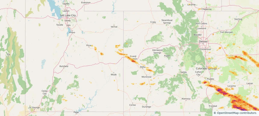
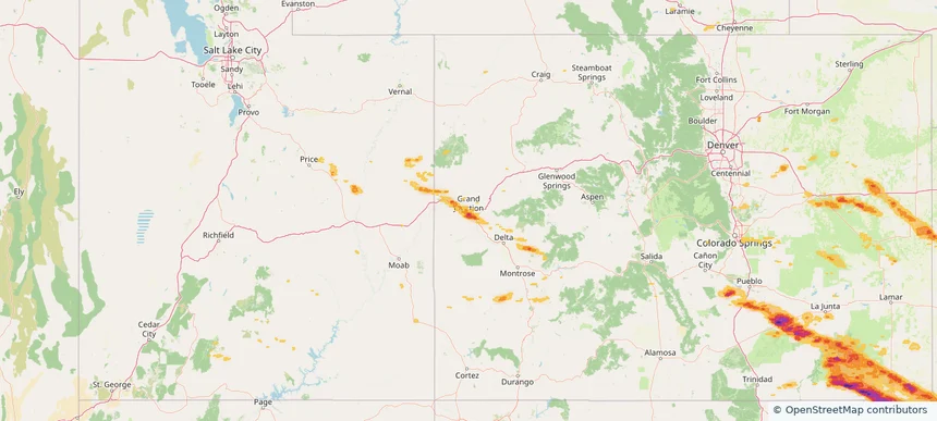
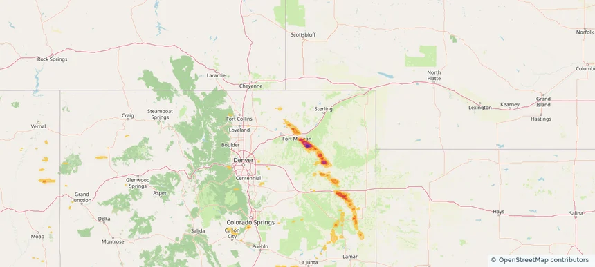
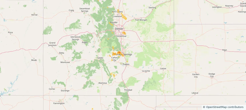
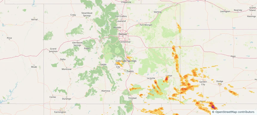
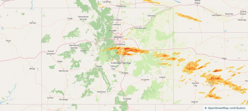
Local hail summary for the Fruita area: 7.85 square miles of estimated ground-hail footprint; highest mapped band 1.5+ inches. 1 official hail report(s) within the summary area. Exposure estimates are not confirmed property damage. Open the map to explore the full coverage included in your access. Statistics cover the mapped hail footprint inside the Census boundary of Fruita, CO, not the entire region. The place had 13,395 residents in the 2020 Census. A boundary intersection does not mean the whole community was hit. Estimated housing exposure: 4,575 units in 1-inch-or-larger bands, including 0 in 1.5-inch-or-larger bands and 0 in 2-inch-or-larger bands.

Local hail summary for the Grand Junction area: 29.64 square miles of estimated ground-hail footprint; highest mapped band 1.5+ inches. 0 official hail report(s) within the summary area. Exposure estimates are not confirmed property damage. Open the map to explore the full coverage included in your access. Statistics cover the mapped hail footprint inside the Census boundary of Grand Junction, CO, not the entire region. The place had 65,560 residents in the 2020 Census. A boundary intersection does not mean the whole community was hit. Estimated housing exposure: 20,123 units in 1-inch-or-larger bands, including 3,852 in 1.5-inch-or-larger bands and 0 in 2-inch-or-larger bands.

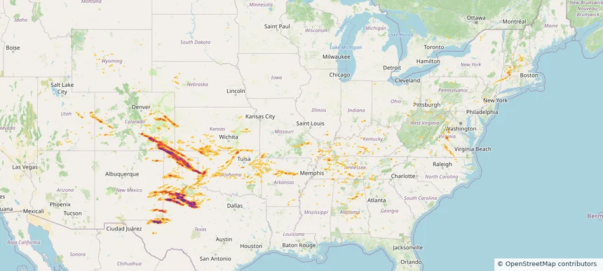
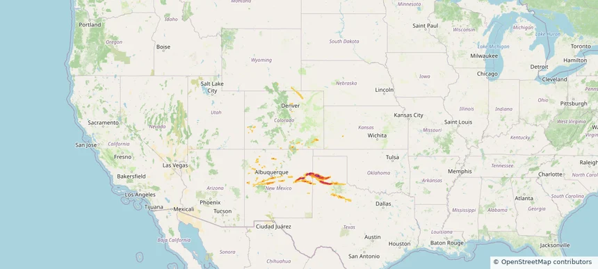
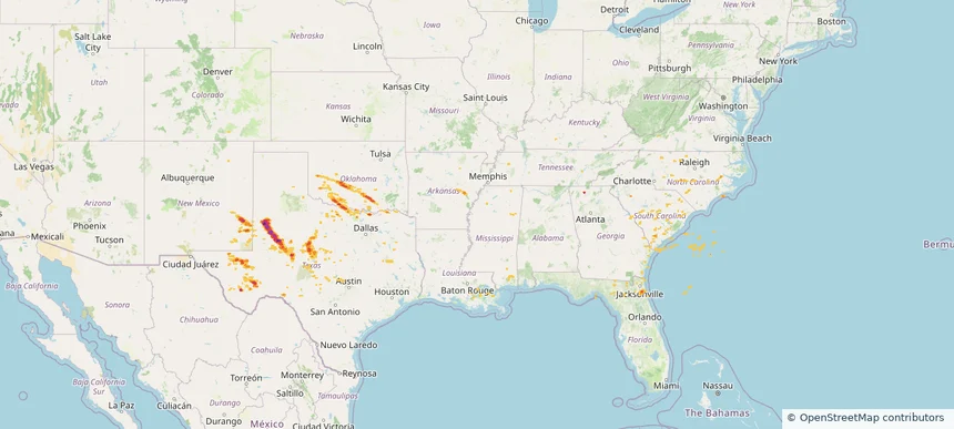
Hail as large as 4.00 inches was reported near Hammon, OKLAHOMA. Wind up to 115 mph was reported near Tx, TX. 77 tornadoes were reported, including one near Roosevelt, NEW MEXICO. The storm had 30 official hail reports.

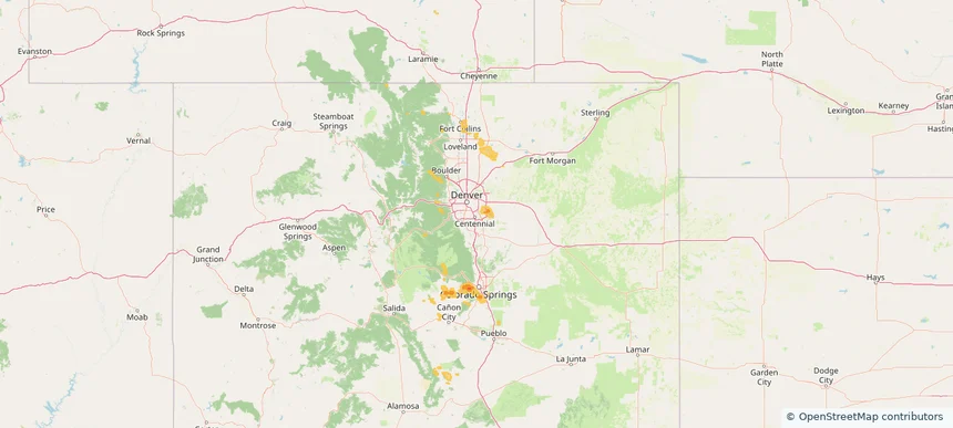
Local hail summary for the Fort Morgan area: 3.99 square miles of estimated ground-hail footprint; highest mapped band 1+ inches. 0 official hail report(s) within the summary area. Exposure estimates are not confirmed property damage. Open the map to explore the full coverage included in your access. Statistics cover the mapped hail footprint inside the Census boundary of Fort Morgan, CO, not the entire region. The place had 11,597 residents in the 2020 Census. A boundary intersection does not mean the whole community was hit. Estimated housing exposure: 2,057 units in 1-inch-or-larger bands, including 0 in 1.5-inch-or-larger bands and 0 in 2-inch-or-larger bands.

Hail as large as 3.00 inches was reported near Johnson, KANSAS. Wind up to 125 mph was reported near Smyer, TX. 94 tornadoes were reported, including one near Roosevelt, NEW MEXICO. The storm had 16 official hail reports.

Hail as large as 1.50 inches was reported near Porter, NEW MEXICO. Wind up to 100 mph was reported near Hansford, TEXAS. 16 tornadoes were reported, including one near Roosevelt, NEW MEXICO. The storm had 5 official hail reports.

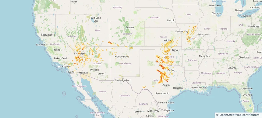
Hail as large as 1.75 inches was reported near Newcastle, OKLAHOMA. Wind up to 104 mph was reported near Ector, TEXAS. 34 tornadoes were reported, including one near Roosevelt, NEW MEXICO. The storm had 9 official hail reports.

Hail as large as 1.75 inches was reported near Elk Pt, SOUTH DAKOTA. Wind up to 120 mph was reported near Tx, TX. 21 tornadoes were reported, including one near Mercer, ILLINOIS. The storm had 19 official hail reports.

Hail as large as 3.00 inches was reported near Weatherford, TEXAS. Wind up to 104 mph was reported near Ector, TEXAS. 15 tornadoes were reported, including one near Mercer, ILLINOIS. The storm had 14 official hail reports.

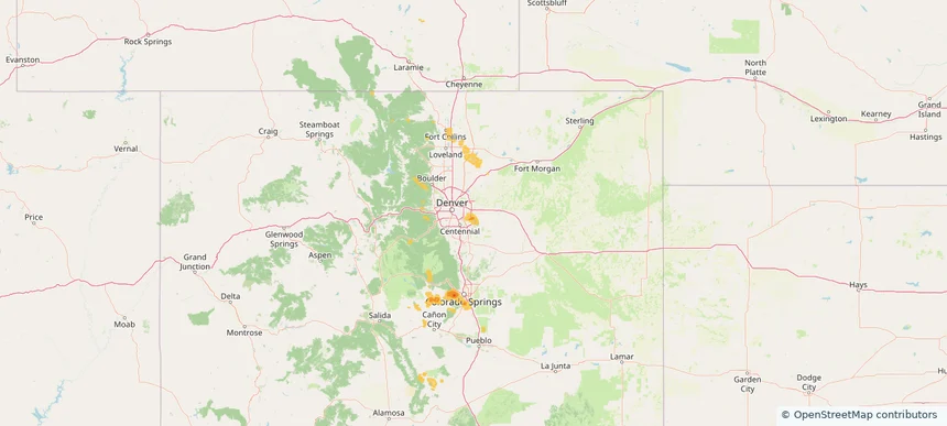
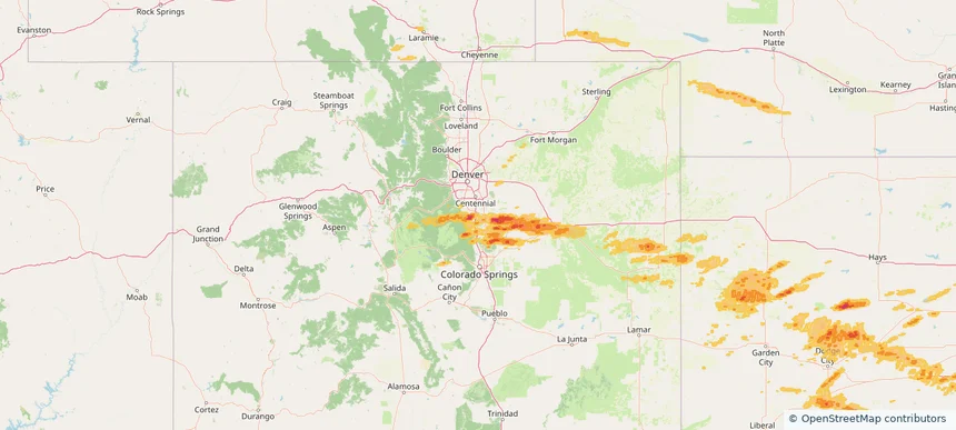
Local hail summary for the Aurora area: 25.01 square miles of estimated ground-hail footprint; highest mapped band 1+ inches. 0 official hail report(s) within the summary area. Exposure estimates are not confirmed property damage. Open the map to explore the full coverage included in your access. Statistics cover the mapped hail footprint inside the Census boundary of Aurora, CO, not the entire region. The place had 386,261 residents in the 2020 Census. A boundary intersection does not mean the whole community was hit. Estimated housing exposure: 2,196 units in 1-inch-or-larger bands, including 0 in 1.5-inch-or-larger bands and 0 in 2-inch-or-larger bands.

Local hail summary for the Centennial area: 1.56 square miles of estimated ground-hail footprint; highest mapped band 1+ inches. 0 official hail report(s) within the summary area. Exposure estimates are not confirmed property damage. Open the map to explore the full coverage included in your access. Statistics cover the mapped hail footprint inside the Census boundary of Centennial, CO, not the entire region. The place had 108,418 residents in the 2020 Census. A boundary intersection does not mean the whole community was hit. Estimated housing exposure: 581 units in 1-inch-or-larger bands, including 0 in 1.5-inch-or-larger bands and 0 in 2-inch-or-larger bands.

Local hail summary for the Fort Carson area: 16.52 square miles of estimated ground-hail footprint; highest mapped band 1+ inches. 0 official hail report(s) within the summary area. Exposure estimates are not confirmed property damage. Open the map to explore the full coverage included in your access. Statistics cover the mapped hail footprint inside the Census boundary of Fort Carson, CO, not the entire region. The place had 17,693 residents in the 2020 Census. A boundary intersection does not mean the whole community was hit. Estimated housing exposure: 1,460 units in 1-inch-or-larger bands, including 0 in 1.5-inch-or-larger bands and 0 in 2-inch-or-larger bands.

Hail as large as 1.00 inches was reported near Marksville, VIRGINIA. Wind up to 104 mph was reported near 3 miles east-northeast of Swansea, SC. 17 tornadoes were reported, including one near Page, VIRGINIA. The storm had 2 official hail reports.

Hail as large as 1.50 inches was reported near Elk City, OKLAHOMA. Wind up to 100 mph was reported near Tx, TX. 26 tornadoes were reported, including one near St. Johns, FLORIDA. The storm had 7 official hail reports.

Local hail summary for the Cimarron Hills area: 4.44 square miles of estimated ground-hail footprint; highest mapped band 1+ inches. 0 official hail report(s) within the summary area. Exposure estimates are not confirmed property damage. Open the map to explore the full coverage included in your access. Statistics cover the mapped hail footprint inside the Census boundary of Cimarron Hills, CO, not the entire region. The place had 19,311 residents in the 2020 Census. A boundary intersection does not mean the whole community was hit. Estimated housing exposure: 311 units in 1-inch-or-larger bands, including 0 in 1.5-inch-or-larger bands and 0 in 2-inch-or-larger bands.

Local hail summary for the Colorado Springs area: 20.97 square miles of estimated ground-hail footprint; highest mapped band 1+ inches. 0 official hail report(s) within the summary area. Exposure estimates are not confirmed property damage. Open the map to explore the full coverage included in your access. Statistics cover the mapped hail footprint inside the Census boundary of Colorado Springs, CO, not the entire region. The place had 478,961 residents in the 2020 Census. A boundary intersection does not mean the whole community was hit. Estimated housing exposure: 5,708 units in 1-inch-or-larger bands, including 0 in 1.5-inch-or-larger bands and 0 in 2-inch-or-larger bands.

Hail as large as 3.40 inches was reported near Follett, TEXAS. Wind up to 100 mph was reported near 8 miles west of Slapout, OK. 3 tornadoes were reported, including one near Dawson, TEXAS. The storm had 24 official hail reports.

Hail as large as 1.00 inches was reported near New Raymer, COLORADO. Wind up to 87 mph was reported near Grant, LOUISIANA. 17 tornadoes were reported, including one near Grant, LOUISIANA. The storm had 1 official hail report.

Hail as large as 3.75 inches was reported near Christoval, TEXAS. Wind up to 100 mph was reported near La, LA. 36 tornadoes were reported, including one near Grant, LOUISIANA. The storm had 26 official hail reports.

Local hail summary for the Black Forest area: 43.43 square miles of estimated ground-hail footprint; highest mapped band 1.5+ inches. 0 official hail report(s) within the summary area. Exposure estimates are not confirmed property damage. Open the map to explore the full coverage included in your access. Statistics cover the mapped hail footprint inside the Census boundary of Black Forest, CO, not the entire region. The place had 15,097 residents in the 2020 Census. A boundary intersection does not mean the whole community was hit. Estimated housing exposure: 769 units in 1-inch-or-larger bands, including 127 in 1.5-inch-or-larger bands and 0 in 2-inch-or-larger bands.

Local hail summary for the Castle Rock area: 30.04 square miles of estimated ground-hail footprint; highest mapped band 1.5+ inches. 0 official hail report(s) within the summary area. Exposure estimates are not confirmed property damage. Open the map to explore the full coverage included in your access. Statistics cover the mapped hail footprint inside the Census boundary of Castle Rock, CO, not the entire region. The place had 73,158 residents in the 2020 Census. A boundary intersection does not mean the whole community was hit. Estimated housing exposure: 8,105 units in 1-inch-or-larger bands, including 1,201 in 1.5-inch-or-larger bands and 0 in 2-inch-or-larger bands.

Hail as large as 1.75 inches was reported near Mc Alester, OKLAHOMA. Wind up to 101 mph was reported near 1 mile north-northwest of Jetmore, KS. 27 tornadoes were reported, including one near Grant, LOUISIANA. The storm had 14 official hail reports.
Yes. The storm library supports coverage-area filtering so you can find hail maps and hail swaths in a target service area.
The library focuses on published hail events, including ready storm maps and live storms once hail has been detected and a public swath is available.
Yes. They are built to help roofers, adjusters, restoration teams, and property owners review storm footprints before purchase.