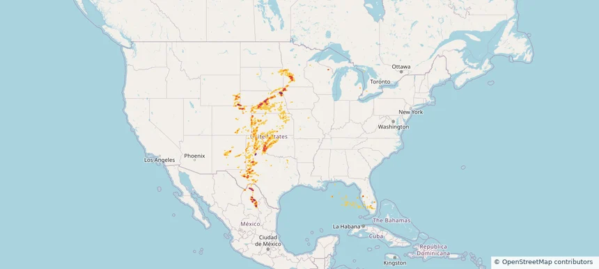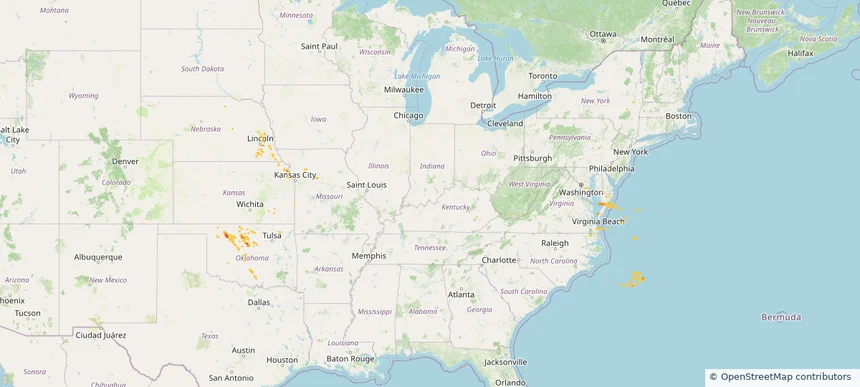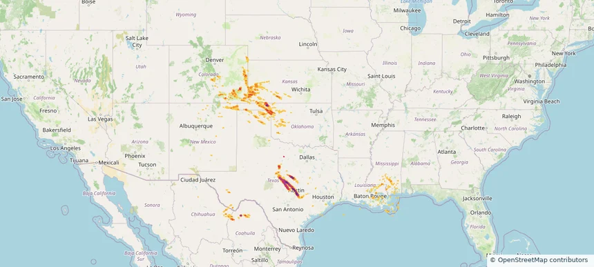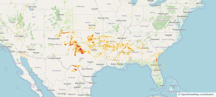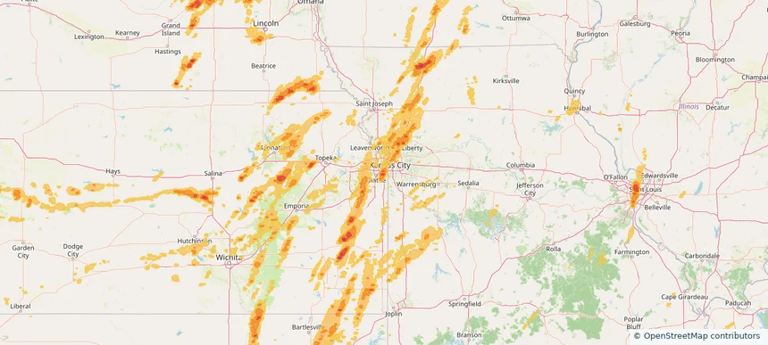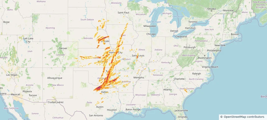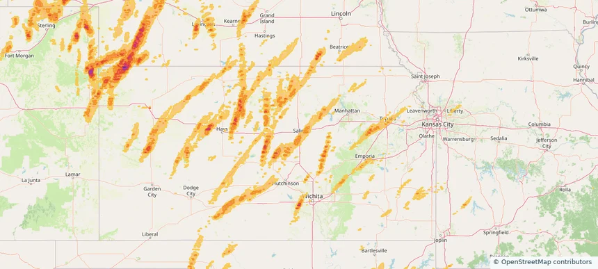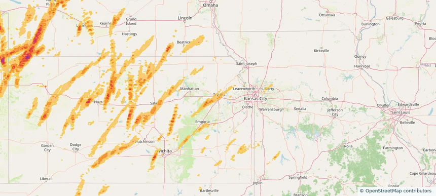
Storm footprint preview
Jun 3, 2025 7:00 AM to Jun 4, 2025 7:00 AM CST
Historical Hail — 2025-06-03
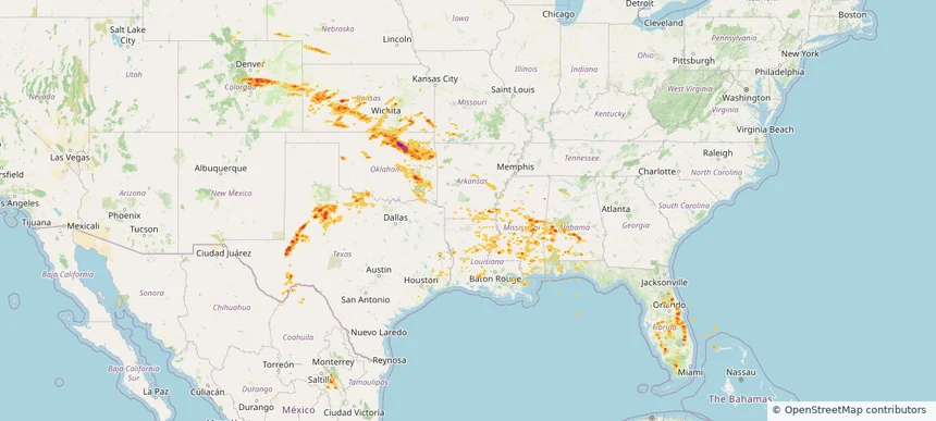
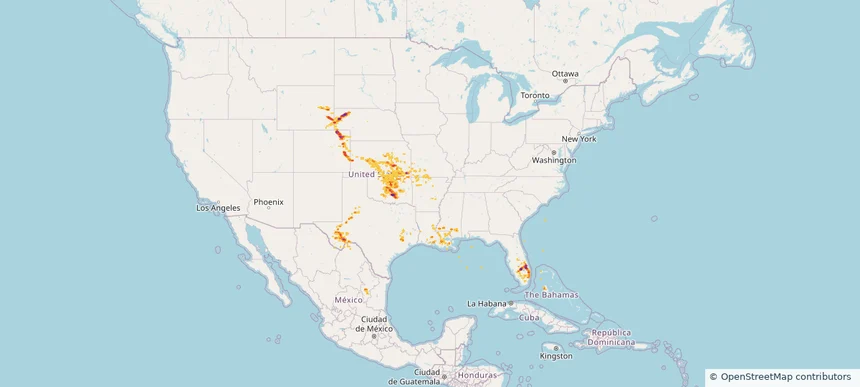
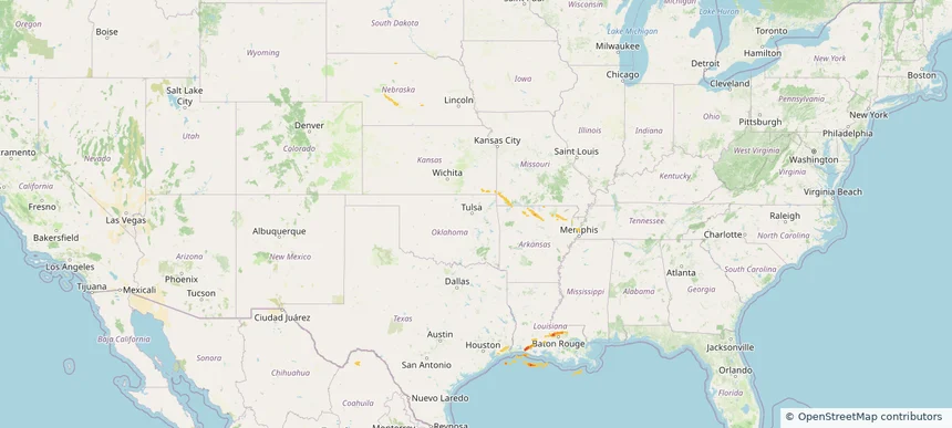
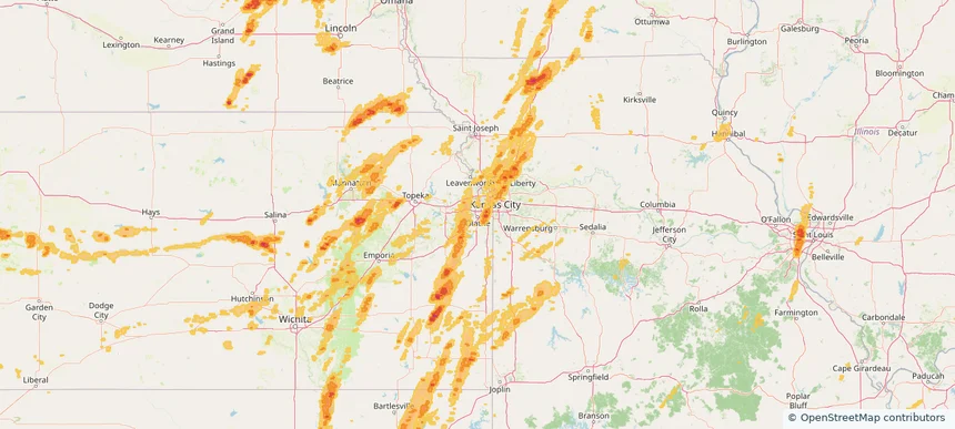
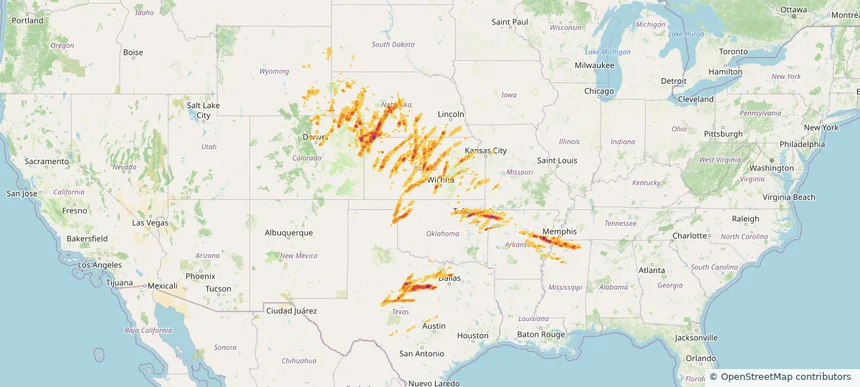
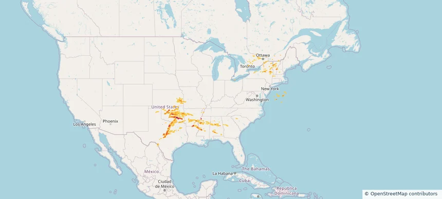
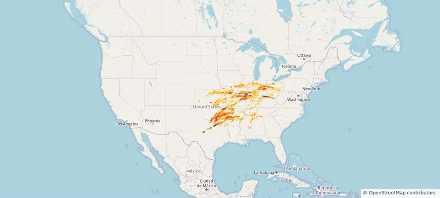
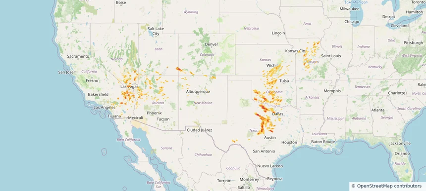
Hail as large as 1.75 inches was reported near Newcastle, OKLAHOMA. Wind up to 104 mph was reported near Ector, TEXAS. 34 tornadoes were reported, including one near Roosevelt, NEW MEXICO. The storm had 9 official hail reports.
2.34 inRadar size estimate
892,065Population Affected
376,983Houses Affected
Hail · Wind · TornadoHazards
FreeAccount signup