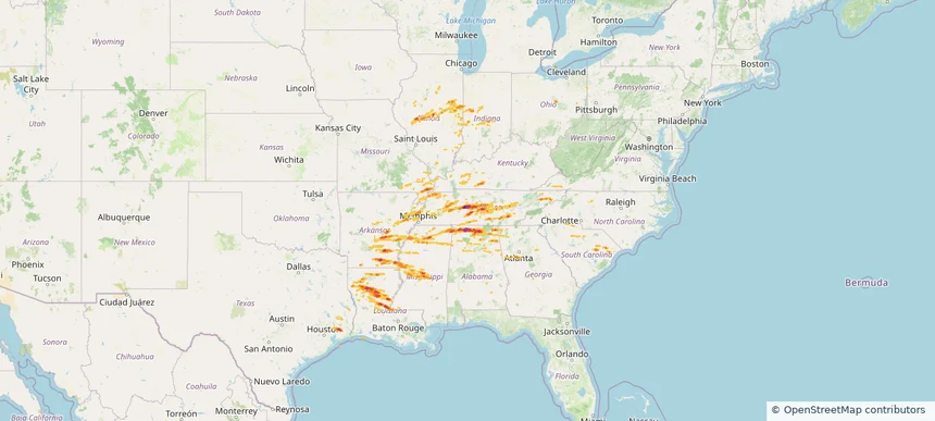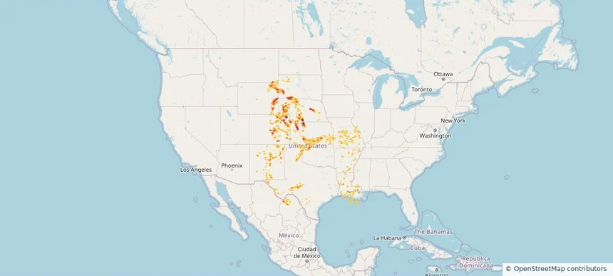
Storm footprint preview
Jul 6, 2025 7:00 AM to Jul 7, 2025 7:00 AM CST
Historical Hail — 2025-07-06
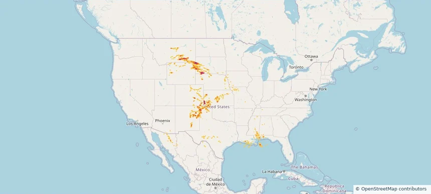
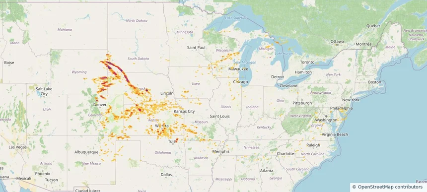
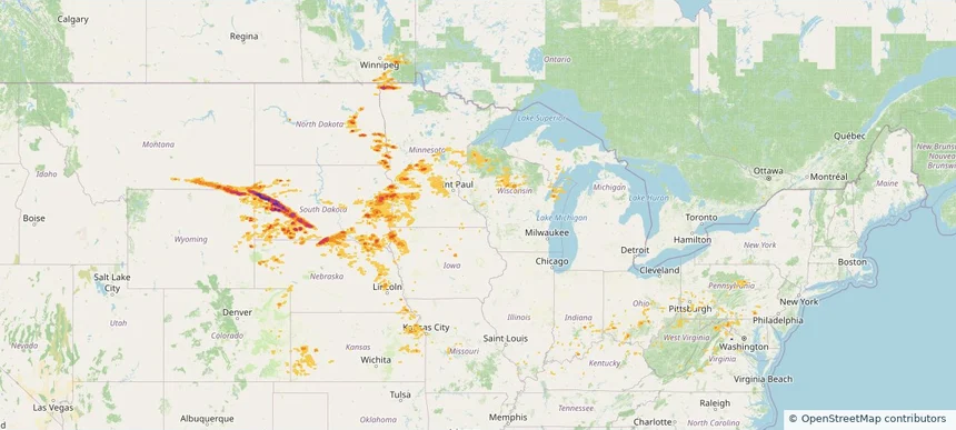
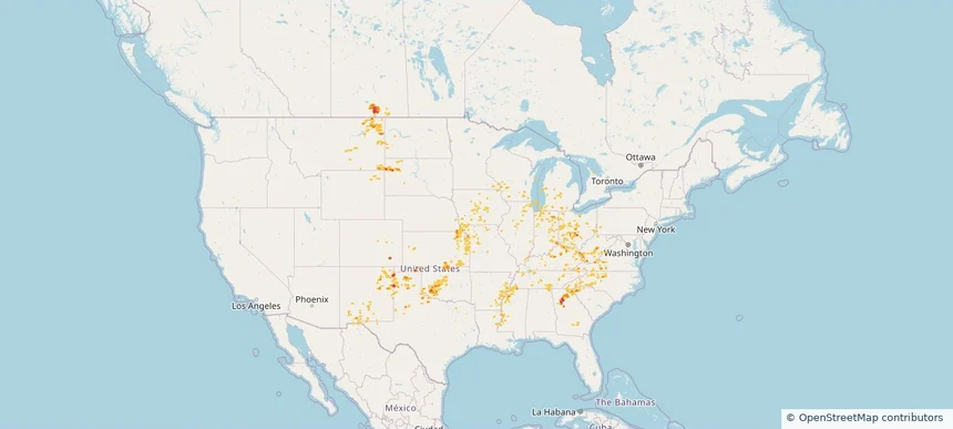
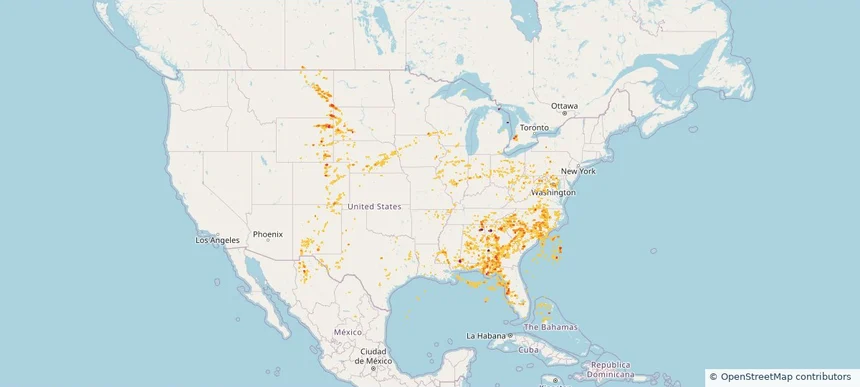
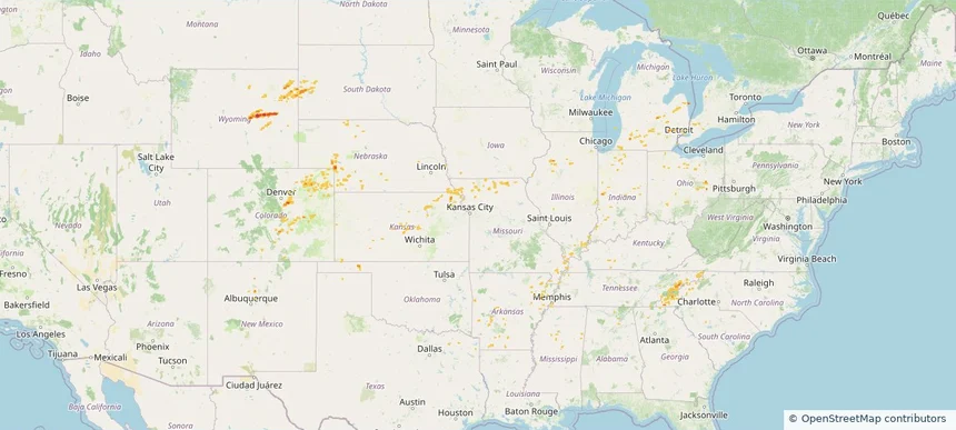
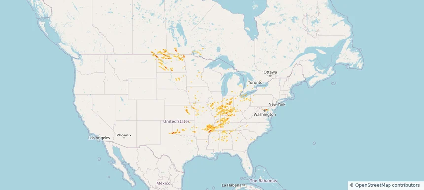
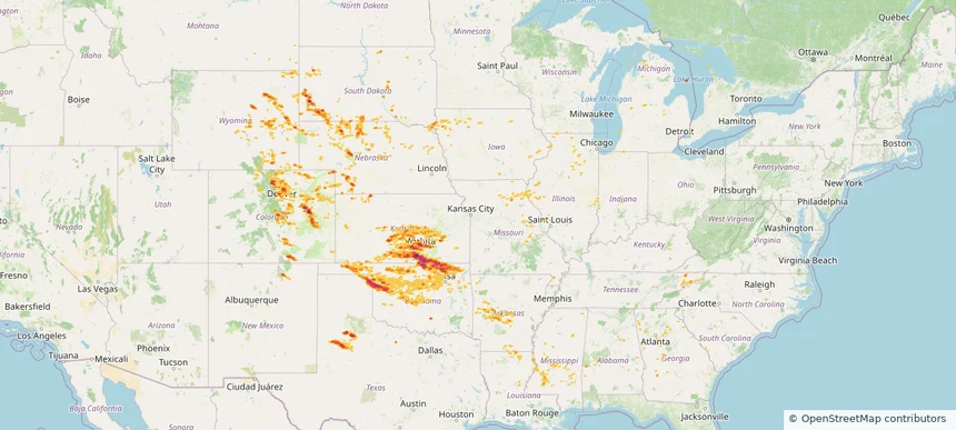
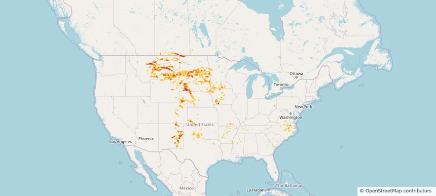
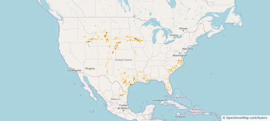
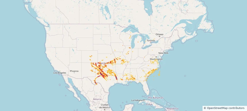
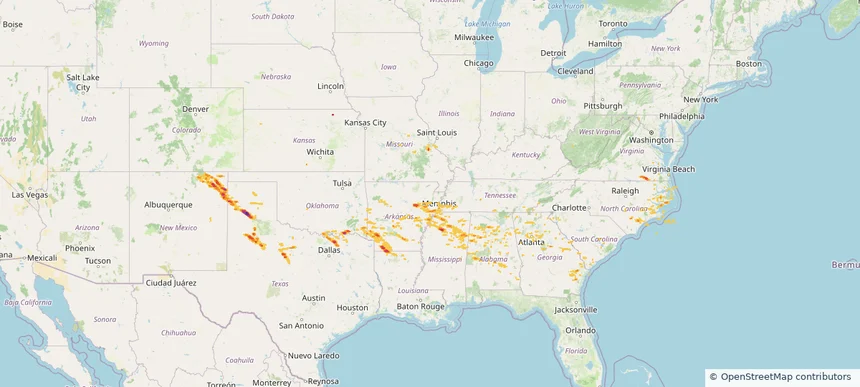
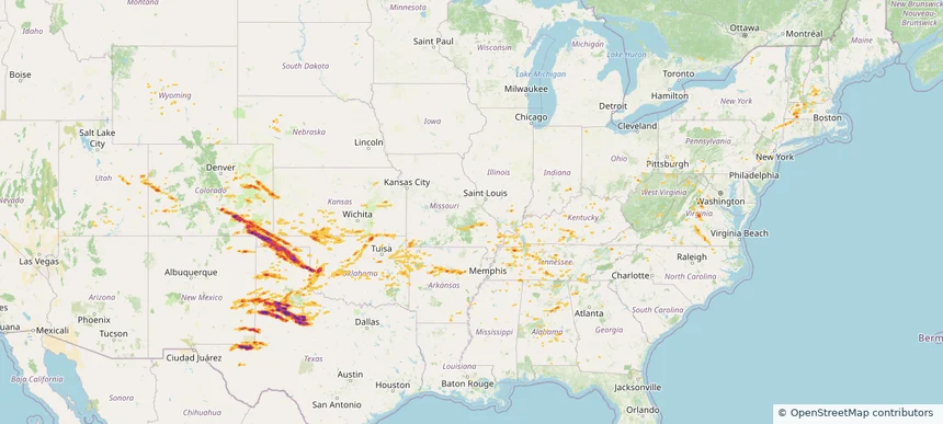
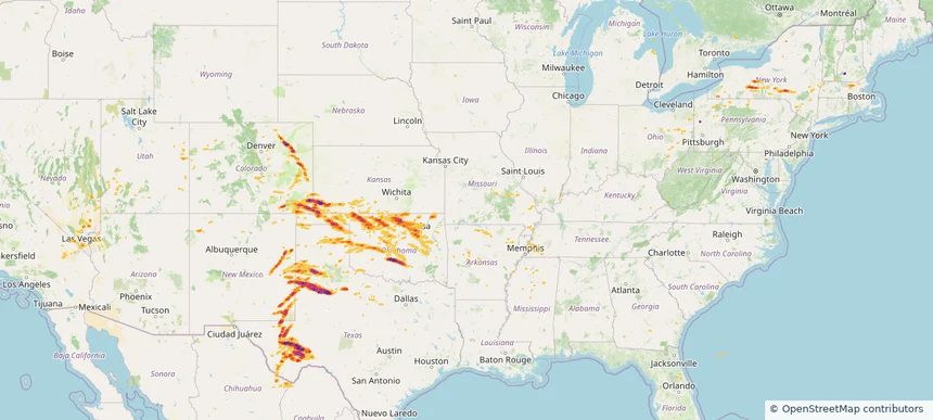
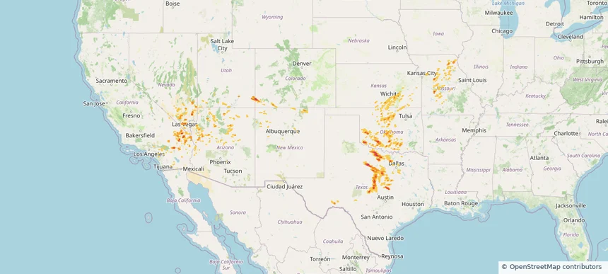
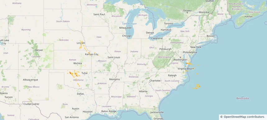
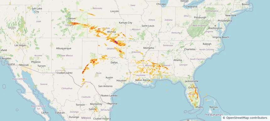
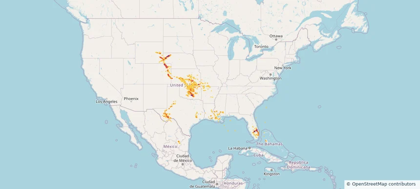
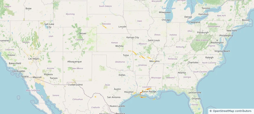
Hail as large as 3.00 inches was reported near Calvert, KANSAS. Wind up to 104 mph was reported near Yuma, COLORADO. 7 tornadoes were reported, including one near Cheyenne, NEBRASKA. The storm had 24 official hail reports.
3.5 inRadar size estimate
571,735Population Affected
264,332Houses Affected
Hail · Wind · TornadoHazards
FreeAccount signup