Storm library

Browse live and recent hail maps.

Review storm footprints, hail swaths, reports, and replay access. Create a free account to save your setup and move into map access when a storm matters.

Search filters
Clear
Newest storms first by default.
Don't see your storm? Request a qualifying storm map and we'll email you when it is ready.
Showing 217-240 of 503 storms · Page 10 of 21
‹ 1 9 10 11 21 ›
Request a storm map

Tell us about the storm and we'll build the map. Once it's published you'll get an email and can purchase it from the library — just like any other event.

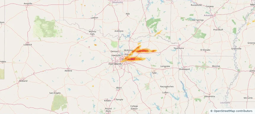
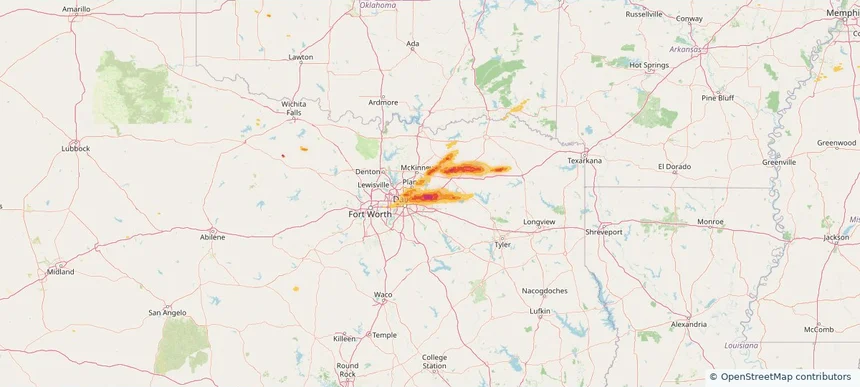
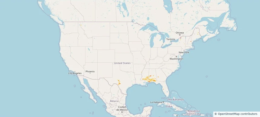
Nationwide Daily Hail, Wind & Tornado Map - May 7, 2026 — regional hail footprint preview
Storm footprint preview
May 6, 2026 10:00 PM to May 8, 2026 2:00 AM CST

Nationwide Daily Hail, Wind & Tornado Map - May 7, 2026

Hail as large as 2.00 inches was reported near Fairhope, AL. Wind up to 41 mph was reported near 1 mile north-northeast of Alabama Port, AL. 6 tornadoes were reported, including one near 9 miles northwest of Salem, MS. The storm had 1 official hail report.

Affected states: National, AL, FL, GA, IL, MS, NY, TX
1.43 inRadar size estimate 122,182Population Affected 53,361Houses Affected Hail · Wind · TornadoHazards FreeAccount signup
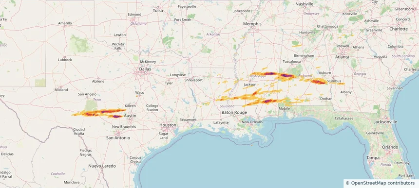
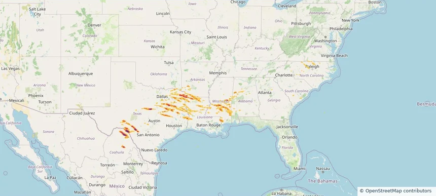
Historical Hail — 2026-05-06 — regional hail footprint preview
Storm footprint preview
May 6, 2026 7:00 AM to May 7, 2026 7:00 AM CST

Historical Hail — 2026-05-06

Hail as large as 2.75 inches was reported near Willow City, TEXAS. Wind up to 67 mph was reported near Dannelly Field, AL. 28 tornadoes were reported, including one near 11 miles east of Osyka, MS. The storm had 8 official hail reports.

Affected states: National, AL, FL, GA, LA, MS, TX
3.5 inRadar size estimate 327,072Population Affected 153,381Houses Affected Hail · Wind · TornadoHazards FreeAccount signup
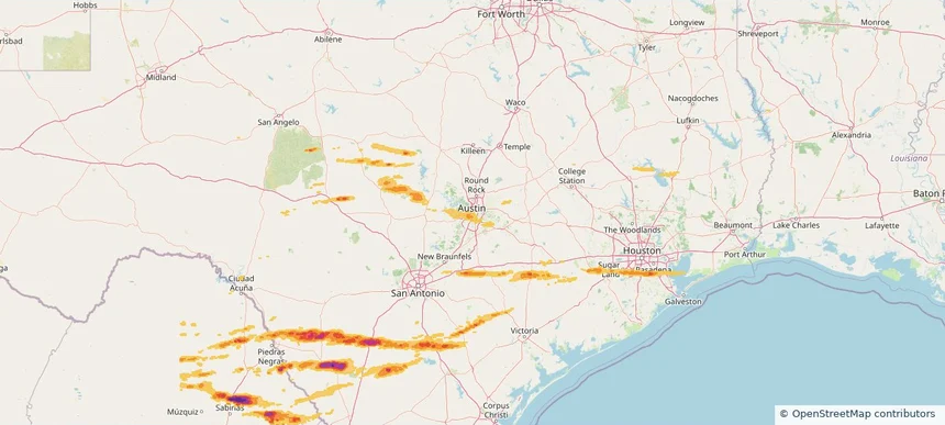
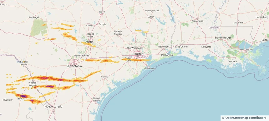
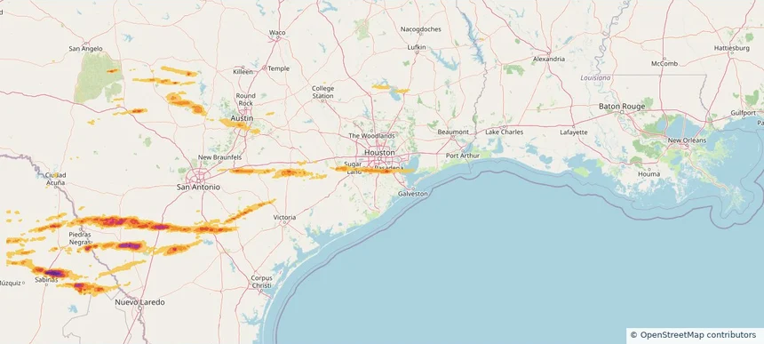
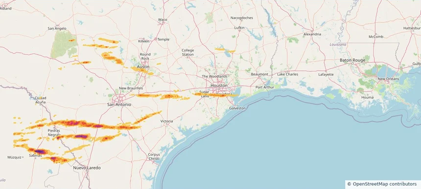
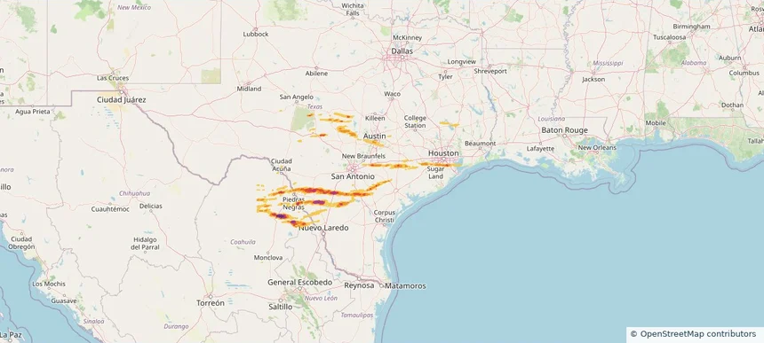
Austin, TX — April 30, 2026 — regional hail footprint preview
Storm footprint preview

Local hail summary for the Austin area: 4.89 square miles of estimated ground-hail footprint; highest mapped band 1+ inches. 0 official hail report(s) within the summary area. Exposure estimates are not confirmed property damage. Open the map to explore the full coverage included in your access. Statistics cover the mapped hail footprint inside the Census boundary of Austin, TX, not the entire region. The place had 961,855 residents in the 2020 Census. A boundary intersection does not mean the whole community was hit. Estimated housing exposure: 3,138 units in 1-inch-or-larger bands, including 0 in 1.5-inch-or-larger bands and 0 in 2-inch-or-larger bands.

Affected states: Austin area, TX
1+ inRadar size estimate 29,018Population Affected 19,637Houses Affected HailHazards FreeAccount signup
Houston, TX — April 30, 2026 — regional hail footprint preview
Storm footprint preview

Local hail summary for the Houston area: 5.56 square miles of estimated ground-hail footprint; highest mapped band 1+ inches. 1 official hail report(s) within the summary area. Exposure estimates are not confirmed property damage. Open the map to explore the full coverage included in your access. Statistics cover the mapped hail footprint inside the Census boundary of Houston, TX, not the entire region. The place had 2,304,580 residents in the 2020 Census. A boundary intersection does not mean the whole community was hit. Estimated housing exposure: 484 units in 1-inch-or-larger bands, including 0 in 1.5-inch-or-larger bands and 0 in 2-inch-or-larger bands.

Affected states: Houston area, TX
1+ inRadar size estimate 13,269Population Affected 5,238Houses Affected HailHazards FreeAccount signup
Missouri City, TX — April 30, 2026 — regional hail footprint preview
Storm footprint preview

Local hail summary for the Missouri City area: 2.14 square miles of estimated ground-hail footprint; highest mapped band 1+ inches. 0 official hail report(s) within the summary area. Exposure estimates are not confirmed property damage. Open the map to explore the full coverage included in your access. Statistics cover the mapped hail footprint inside the Census boundary of Missouri City, TX, not the entire region. The place had 74,259 residents in the 2020 Census. A boundary intersection does not mean the whole community was hit. Estimated housing exposure: 421 units in 1-inch-or-larger bands, including 0 in 1.5-inch-or-larger bands and 0 in 2-inch-or-larger bands.

Affected states: Missouri City area, TX
1+ inRadar size estimate 4,975Population Affected 1,978Houses Affected HailHazards FreeAccount signup
Pearland, TX — April 30, 2026 — regional hail footprint preview
Storm footprint preview

Local hail summary for the Pearland area: 14.76 square miles of estimated ground-hail footprint; highest mapped band 1+ inches. 1 official hail report(s) within the summary area. Exposure estimates are not confirmed property damage. Open the map to explore the full coverage included in your access. Statistics cover the mapped hail footprint inside the Census boundary of Pearland, TX, not the entire region. The place had 125,828 residents in the 2020 Census. A boundary intersection does not mean the whole community was hit. Estimated housing exposure: 13,969 units in 1-inch-or-larger bands, including 0 in 1.5-inch-or-larger bands and 0 in 2-inch-or-larger bands.

Affected states: Pearland area, TX
1+ inRadar size estimate 46,615Population Affected 17,799Houses Affected HailHazards FreeAccount signup
Sugar Land, TX — April 30, 2026 — regional hail footprint preview
Storm footprint preview

Local hail summary for the Sugar Land area: 0.80 square miles of estimated ground-hail footprint; highest mapped band 1+ inches. 0 official hail report(s) within the summary area. Exposure estimates are not confirmed property damage. Open the map to explore the full coverage included in your access. Statistics cover the mapped hail footprint inside the Census boundary of Sugar Land, TX, not the entire region. The place had 111,026 residents in the 2020 Census. A boundary intersection does not mean the whole community was hit. Estimated housing exposure: 257 units in 1-inch-or-larger bands, including 0 in 1.5-inch-or-larger bands and 0 in 2-inch-or-larger bands.

Affected states: Sugar Land area, TX
1+ inRadar size estimate 1,380Population Affected 514Houses Affected HailHazards FreeAccount signup
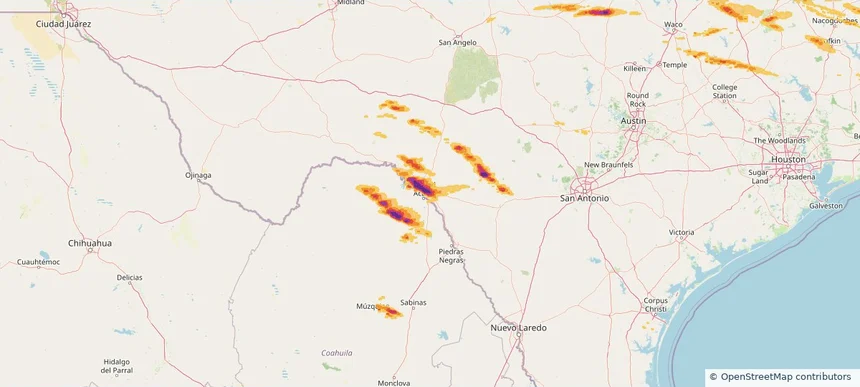
Del Rio, TX — April 29, 2026 — regional hail footprint preview
Storm footprint preview

Local hail summary for the Del Rio area: 18.90 square miles of estimated ground-hail footprint; highest mapped band 2.5+ inches. 0 official hail report(s) within the summary area. Exposure estimates are not confirmed property damage. Open the map to explore the full coverage included in your access. Statistics cover the mapped hail footprint inside the Census boundary of Del Rio, TX, not the entire region. The place had 34,673 residents in the 2020 Census. A boundary intersection does not mean the whole community was hit. Estimated housing exposure: 11,807 units in 1-inch-or-larger bands, including 10,870 in 1.5-inch-or-larger bands and 7,788 in 2-inch-or-larger bands.

Affected states: Del Rio area, TX
2.5+ inRadar size estimate 32,330Population Affected 12,113Houses Affected HailHazards FreeAccount signup
Ennis, TX — April 29, 2026 — regional hail footprint preview
Storm footprint preview

Local hail summary for the Ennis area: 9.64 square miles of estimated ground-hail footprint; highest mapped band 1.5+ inches. 1 official hail report(s) within the summary area. Exposure estimates are not confirmed property damage. Open the map to explore the full coverage included in your access. Statistics cover the mapped hail footprint inside the Census boundary of Ennis, TX, not the entire region. The place had 20,159 residents in the 2020 Census. A boundary intersection does not mean the whole community was hit. Estimated housing exposure: 620 units in 1-inch-or-larger bands, including 3 in 1.5-inch-or-larger bands and 0 in 2-inch-or-larger bands.

Affected states: Ennis area, TX
1.5+ inRadar size estimate 4,154Population Affected 1,622Houses Affected HailHazards FreeAccount signup
Historical Hail — 2026-04-29 — regional hail footprint preview
Storm footprint preview
Apr 29, 2026 7:00 AM to Apr 30, 2026 7:00 AM CST

Historical Hail — 2026-04-29

Hail as large as 5.00 inches was reported near Camp Wood, TEXAS. Wind up to 92 mph was reported near 4 miles north-northeast of Sharon, MS. 2 tornadoes were reported, including one near 3 miles northeast of Fayetteville, WV. The storm had 16 official hail reports.

Affected states: National, AL, AR, LA, MS, NC, OK, SC, TX, VA, WV
4.68 inRadar size estimate 473,847Population Affected 201,155Houses Affected Hail · Wind · TornadoHazards FreeAccount signup
Bellmead, TX — April 28, 2026 — regional hail footprint preview
Storm footprint preview

Local hail summary for the Bellmead area: 6.95 square miles of estimated ground-hail footprint; highest mapped band 2.5+ inches. 0 official hail report(s) within the summary area. Exposure estimates are not confirmed property damage. Open the map to explore the full coverage included in your access. Statistics cover the mapped hail footprint inside the Census boundary of Bellmead, TX, not the entire region. The place had 10,494 residents in the 2020 Census. A boundary intersection does not mean the whole community was hit. Estimated housing exposure: 3,969 units in 1-inch-or-larger bands, including 3,960 in 1.5-inch-or-larger bands and 3,018 in 2-inch-or-larger bands.

Affected states: Bellmead area, TX
2.5+ inRadar size estimate 10,509Population Affected 3,969Houses Affected HailHazards FreeAccount signup
Burleson, TX — April 28, 2026 — regional hail footprint preview
Storm footprint preview

Local hail summary for the Burleson area: 2.37 square miles of estimated ground-hail footprint; highest mapped band 1+ inches. 0 official hail report(s) within the summary area. Exposure estimates are not confirmed property damage. Open the map to explore the full coverage included in your access. Statistics cover the mapped hail footprint inside the Census boundary of Burleson, TX, not the entire region. The place had 47,641 residents in the 2020 Census. A boundary intersection does not mean the whole community was hit. Estimated housing exposure: 167 units in 1-inch-or-larger bands, including 0 in 1.5-inch-or-larger bands and 0 in 2-inch-or-larger bands.

Affected states: Burleson area, TX
1+ inRadar size estimate 635Population Affected 194Houses Affected HailHazards FreeAccount signup
Cleburne, TX — April 28, 2026 — regional hail footprint preview
Storm footprint preview

Local hail summary for the Cleburne area: 33.88 square miles of estimated ground-hail footprint; highest mapped band 1.5+ inches. 2 official hail report(s) within the summary area. Exposure estimates are not confirmed property damage. Open the map to explore the full coverage included in your access. Statistics cover the mapped hail footprint inside the Census boundary of Cleburne, TX, not the entire region. The place had 31,352 residents in the 2020 Census. A boundary intersection does not mean the whole community was hit. Estimated housing exposure: 11,570 units in 1-inch-or-larger bands, including 761 in 1.5-inch-or-larger bands and 0 in 2-inch-or-larger bands.

Affected states: Cleburne area, TX
1.5+ inRadar size estimate 31,019Population Affected 11,958Houses Affected HailHazards FreeAccount signup
Mineral Wells, TX — April 28, 2026 — regional hail footprint preview
Storm footprint preview

Local hail summary for the Mineral Wells area: 13.97 square miles of estimated ground-hail footprint; highest mapped band 2+ inches. 0 official hail report(s) within the summary area. Exposure estimates are not confirmed property damage. Open the map to explore the full coverage included in your access. Statistics cover the mapped hail footprint inside the Census boundary of Mineral Wells, TX, not the entire region. The place had 14,820 residents in the 2020 Census. A boundary intersection does not mean the whole community was hit. Estimated housing exposure: 485 units in 1-inch-or-larger bands, including 8 in 1.5-inch-or-larger bands and 0 in 2-inch-or-larger bands.

Affected states: Mineral Wells area, TX
2+ inRadar size estimate 7,161Population Affected 3,225Houses Affected HailHazards FreeAccount signup
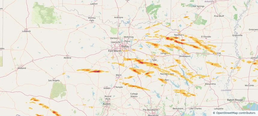
Waco, TX — April 28, 2026 — regional hail footprint preview
Storm footprint preview

Local hail summary for the Waco area: 22.54 square miles of estimated ground-hail footprint; highest mapped band 2.5+ inches. 0 official hail report(s) within the summary area. Exposure estimates are not confirmed property damage. Open the map to explore the full coverage included in your access. Statistics cover the mapped hail footprint inside the Census boundary of Waco, TX, not the entire region. The place had 138,486 residents in the 2020 Census. A boundary intersection does not mean the whole community was hit. Estimated housing exposure: 7,891 units in 1-inch-or-larger bands, including 2,331 in 1.5-inch-or-larger bands and 1,482 in 2-inch-or-larger bands.

Affected states: Waco area, TX
2.5+ inRadar size estimate 20,063Population Affected 8,564Houses Affected HailHazards FreeAccount signup
Weatherford, TX — April 28, 2026 — regional hail footprint preview
Storm footprint preview

Local hail summary for the Weatherford area: 9.30 square miles of estimated ground-hail footprint; highest mapped band 2+ inches. 0 official hail report(s) within the summary area. Exposure estimates are not confirmed property damage. Open the map to explore the full coverage included in your access. Statistics cover the mapped hail footprint inside the Census boundary of Weatherford, TX, not the entire region. The place had 30,854 residents in the 2020 Census. A boundary intersection does not mean the whole community was hit. Estimated housing exposure: 1,184 units in 1-inch-or-larger bands, including 0 in 1.5-inch-or-larger bands and 0 in 2-inch-or-larger bands.

Affected states: Weatherford area, TX
2+ inRadar size estimate 8,207Population Affected 3,464Houses Affected HailHazards FreeAccount signup
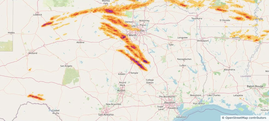
Nationwide Daily Hail, Wind & Tornado Map - April 28, 2026 — regional hail footprint preview
Storm footprint preview
Apr 27, 2026 10:00 PM to Apr 29, 2026 2:00 AM CST

Nationwide Daily Hail, Wind & Tornado Map - April 28, 2026

Hail as large as 4.75 inches was reported near 5 miles southeast of Bois D'Arc, MO. Wind up to 89 mph was reported near 2 miles northwest of Lake Village, AR. 27 tornadoes were reported, including one near 2 miles south of Mooresville, IN. The storm had 99 official hail reports.

Affected states: National, AL, AR, GA, IL, IN, KS, KY, LA, MS, MO, NY, OH, OK, TN, TX
3.5 inRadar size estimate 2,918,420Population Affected 1,243,071Houses Affected Hail · Wind · TornadoHazards FreeAccount signup
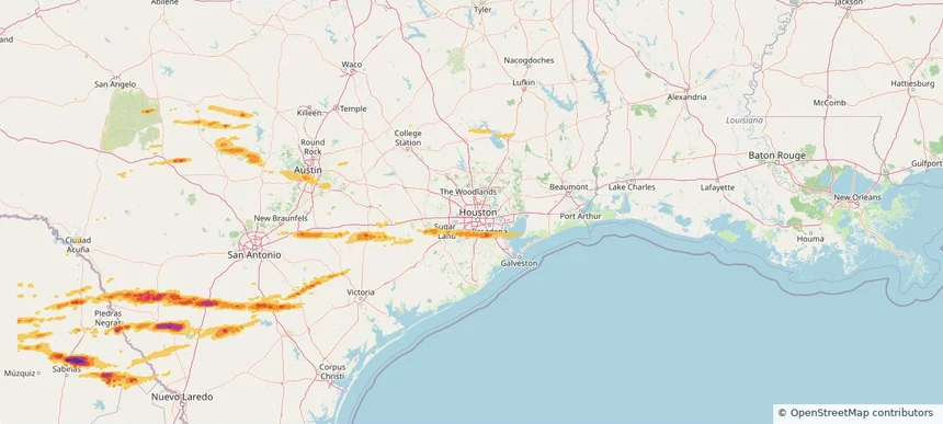
Dallas, TX — April 27, 2026 — regional hail footprint preview
Storm footprint preview

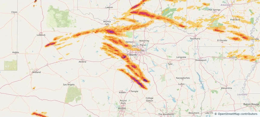
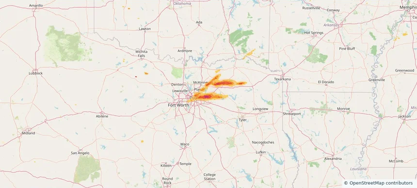
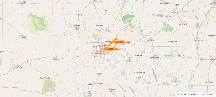
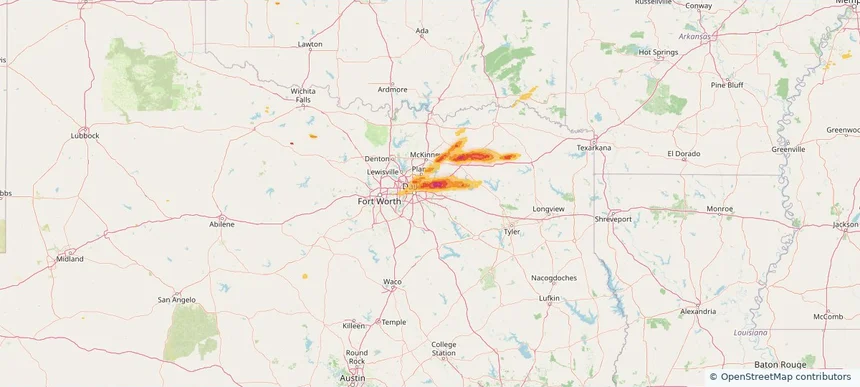
Local hail summary for the Dallas area: 56.49 square miles of estimated ground-hail footprint; highest mapped band 2+ inches. 0 official hail report(s) within the summary area. Exposure estimates are not confirmed property damage. Open the map to explore the full coverage included in your access. Statistics cover the mapped hail footprint inside the Census boundary of Dallas, TX, not the entire region. The place had 1,304,379 residents in the 2020 Census. A boundary intersection does not mean the whole community was hit. Estimated housing exposure: 56,354 units in 1-inch-or-larger bands, including 6,306 in 1.5-inch-or-larger bands and 0 in 2-inch-or-larger bands.

Affected states: Dallas area, TX
2+ inRadar size estimate 187,635Population Affected 87,003Houses Affected HailHazards FreeAccount signup
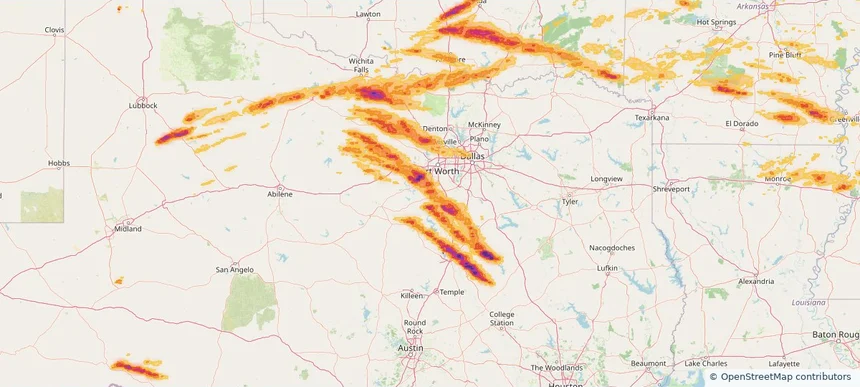
Fate, TX — April 27, 2026 — regional hail footprint preview
Storm footprint preview

Local hail summary for the Fate area: 9.87 square miles of estimated ground-hail footprint; highest mapped band 1.5+ inches. 0 official hail report(s) within the summary area. Exposure estimates are not confirmed property damage. Open the map to explore the full coverage included in your access. Statistics cover the mapped hail footprint inside the Census boundary of Fate, TX, not the entire region. The place had 17,958 residents in the 2020 Census. A boundary intersection does not mean the whole community was hit. Estimated housing exposure: 3,195 units in 1-inch-or-larger bands, including 842 in 1.5-inch-or-larger bands and 0 in 2-inch-or-larger bands.

Affected states: Fate area, TX
1.5+ inRadar size estimate 17,377Population Affected 5,585Houses Affected HailHazards FreeAccount signup
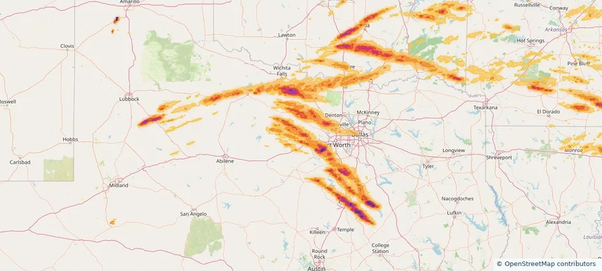
Garland, TX — April 27, 2026 — regional hail footprint preview
Storm footprint preview

Local hail summary for the Garland area: 35.72 square miles of estimated ground-hail footprint; highest mapped band 1.5+ inches. 0 official hail report(s) within the summary area. Exposure estimates are not confirmed property damage. Open the map to explore the full coverage included in your access. Statistics cover the mapped hail footprint inside the Census boundary of Garland, TX, not the entire region. The place had 246,018 residents in the 2020 Census. A boundary intersection does not mean the whole community was hit. Estimated housing exposure: 39,212 units in 1-inch-or-larger bands, including 14,286 in 1.5-inch-or-larger bands and 0 in 2-inch-or-larger bands.

Affected states: Garland area, TX
1.5+ inRadar size estimate 169,069Population Affected 58,733Houses Affected HailHazards FreeAccount signup
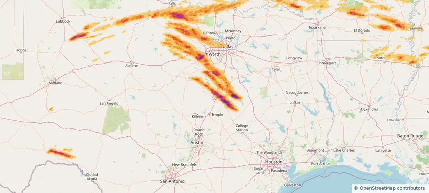
Mesquite, TX — April 27, 2026 — regional hail footprint preview
Storm footprint preview

Local hail summary for the Mesquite area: 3.37 square miles of estimated ground-hail footprint; highest mapped band 1+ inches. 0 official hail report(s) within the summary area. Exposure estimates are not confirmed property damage. Open the map to explore the full coverage included in your access. Statistics cover the mapped hail footprint inside the Census boundary of Mesquite, TX, not the entire region. The place had 150,108 residents in the 2020 Census. A boundary intersection does not mean the whole community was hit. Estimated housing exposure: 5,089 units in 1-inch-or-larger bands, including 0 in 1.5-inch-or-larger bands and 0 in 2-inch-or-larger bands.

Affected states: Mesquite area, TX
1+ inRadar size estimate 16,318Population Affected 6,499Houses Affected HailHazards FreeAccount signup
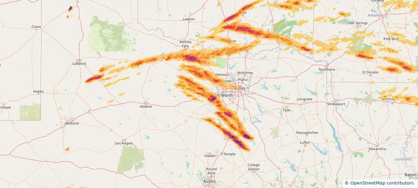
Richardson, TX — April 27, 2026 — regional hail footprint preview
Storm footprint preview

Local hail summary for the Richardson area: 12.94 square miles of estimated ground-hail footprint; highest mapped band 1.5+ inches. 0 official hail report(s) within the summary area. Exposure estimates are not confirmed property damage. Open the map to explore the full coverage included in your access. Statistics cover the mapped hail footprint inside the Census boundary of Richardson, TX, not the entire region. The place had 119,469 residents in the 2020 Census. A boundary intersection does not mean the whole community was hit. Estimated housing exposure: 14,816 units in 1-inch-or-larger bands, including 1 in 1.5-inch-or-larger bands and 0 in 2-inch-or-larger bands.

Affected states: Richardson area, TX
1.5+ inRadar size estimate 55,098Population Affected 22,287Houses Affected HailHazards FreeAccount signup
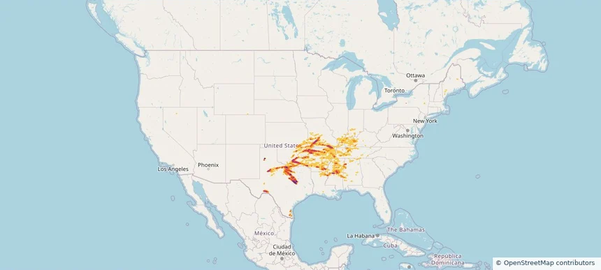
Rockwall, TX — April 27, 2026 — regional hail footprint preview
Storm footprint preview

Local hail summary for the Rockwall area: 24.20 square miles of estimated ground-hail footprint; highest mapped band 2+ inches. 1 official hail report(s) within the summary area. Exposure estimates are not confirmed property damage. Open the map to explore the full coverage included in your access. Statistics cover the mapped hail footprint inside the Census boundary of Rockwall, TX, not the entire region. The place had 47,251 residents in the 2020 Census. A boundary intersection does not mean the whole community was hit. Estimated housing exposure: 12,561 units in 1-inch-or-larger bands, including 9,933 in 1.5-inch-or-larger bands and 8,723 in 2-inch-or-larger bands.

Affected states: Rockwall area, TX
2+ inRadar size estimate 35,092Population Affected 13,753Houses Affected HailHazards FreeAccount signup
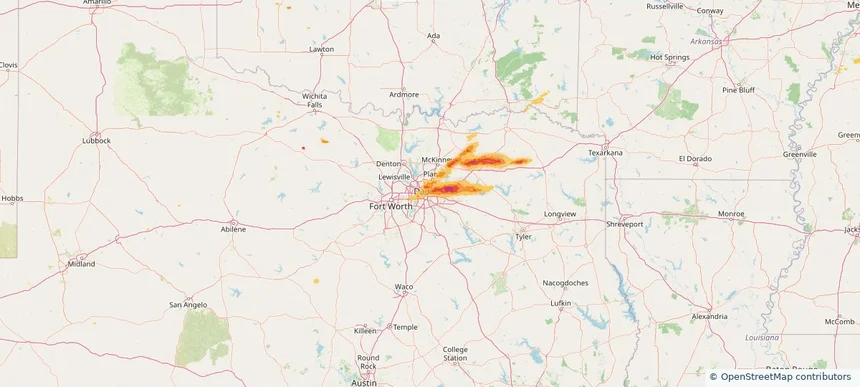
Page 10 of 21
‹ 1 9 10 11 21 ›

Frequently asked questions

Can I search hail maps by coverage area?

Yes. The storm library supports coverage-area filtering so you can find hail maps and hail swaths in a target service area.

What kinds of storms appear in the HailMapr library?

The library focuses on published hail events, including ready storm maps and live storms once hail has been detected and a public swath is available.

Are HailMapr storm pages useful for roofers and adjusters?

Yes. They are built to help roofers, adjusters, restoration teams, and property owners review storm footprints before purchase.