Storm library

Browse live and recent hail maps.

Review storm footprints, hail swaths, reports, and replay access. Create a free account to save your setup and move into map access when a storm matters.

Search filters
Clear
Newest storms first by default.
Don't see your storm? Request a qualifying storm map and we'll email you when it is ready.
Showing 217-240 of 432 storms · Page 10 of 18
‹ 1 9 10 11 18 ›
Request a storm map

Tell us about the storm and we'll build the map. Once it's published you'll get an email and can purchase it from the library — just like any other event.

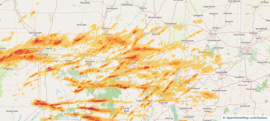
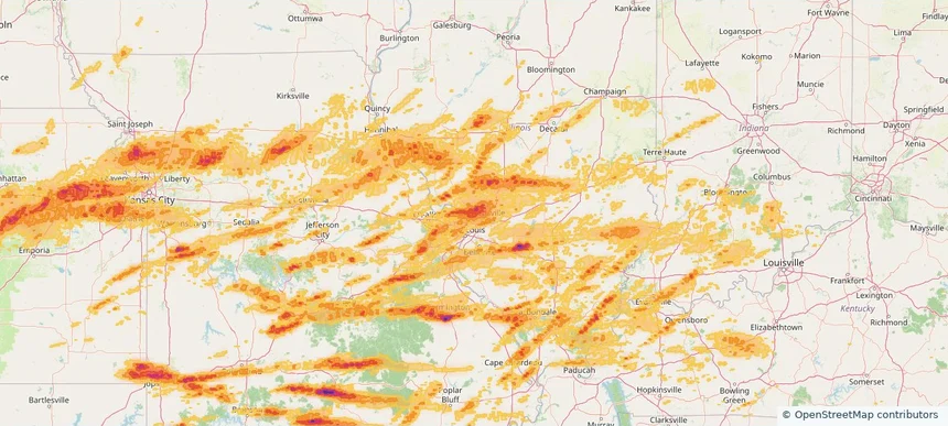
Nationwide Daily Hail, Wind & Tornado Map - June 1, 2026 — regional hail footprint preview
Storm footprint preview
May 31, 2026 10:00 PM to Jun 2, 2026 2:00 AM CST

Nationwide Daily Hail, Wind & Tornado Map - June 1, 2026

Hail as large as 3.50 inches was reported near Gridley, KS. Wind up to 94 mph was reported near Kansas City Downtown, MO. 2 tornadoes were reported, including one near 2 miles northwest of Madison, KS. The storm had 37 official hail reports.

Affected states: National, AL, AR, CO, FL, GA, ID, IL, IA, KS, KY, LA, MN, MS, MO, MT, NE, NM, NC, OK, SC, SD, TN, TX, WY
3.0 inRadar size estimate 2,547,518Population Affected 1,113,027Houses Affected Hail · Wind · TornadoHazards FreeAccount signup
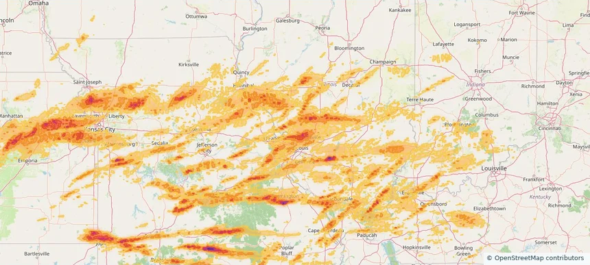
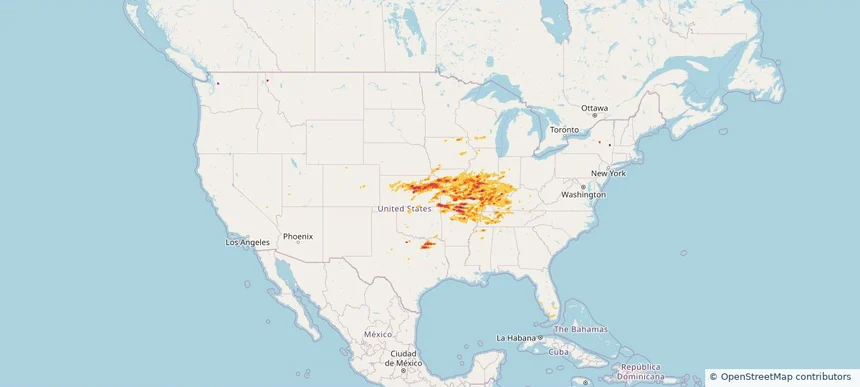
Nationwide Daily Hail, Wind & Tornado Map - May 31, 2026 — regional hail footprint preview
Storm footprint preview
May 30, 2026 10:00 PM to Jun 1, 2026 1:51 AM CST

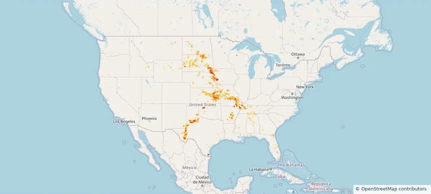
Nationwide Daily Hail, Wind & Tornado Map - May 31, 2026

Hail as large as 3.50 inches was reported near Gridley, KS. Wind up to 94 mph was reported near Kansas City Downtown, MO. 4 tornadoes were reported, including one near 1 mile northwest of Bridgewater, SD. The storm had 22 official hail reports.

Affected states: National, AL, AR, FL, GA, ID, IL, IA, KS, KY, MS, MO, NE, NH, NM, ND, OK, SD, TN, TX, WY
3.0 inRadar size estimate 784,703Population Affected 343,037Houses Affected Hail · Wind · TornadoHazards FreeAccount signup
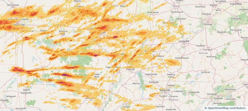
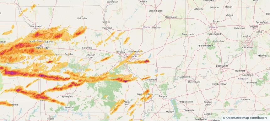
Nationwide Daily Hail, Wind & Tornado Map - May 19, 2026 — regional hail footprint preview
Storm footprint preview
May 18, 2026 10:00 PM to May 20, 2026 2:00 AM CST

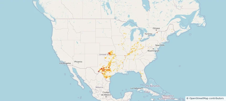
Nationwide Daily Hail, Wind & Tornado Map - May 19, 2026

Hail as large as 1.75 inches was reported near 4 miles northeast of Milan, KS. Wind up to 85 mph was reported near 4 miles north of Round Rock, TX. 4 tornadoes were reported, including one near 5 miles east-northeast of Missouri City, MO. The storm had 9 official hail reports.

Affected states: National, AR, CT, FL, IL, IN, IA, KS, KY, LA, ME, MA, MI, MS, MO, NH, NY, OH, OK, TN, TX, VA, WV, WI
3.5 inRadar size estimate 1,025,429Population Affected 427,940Houses Affected Hail · Wind · TornadoHazards FreeAccount signup
Moline, IL — May 18, 2026 — regional hail footprint preview
Storm footprint preview

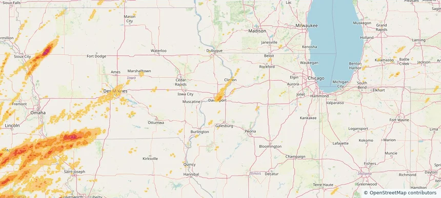
Local hail summary for the Moline area: 2.49 square miles of estimated ground-hail footprint; highest mapped band 1+ inches. 0 official hail report(s) within the summary area. Exposure estimates are not confirmed property damage. Open the map to explore the full coverage included in your access. Statistics cover the mapped hail footprint inside the Census boundary of Moline, IL, not the entire region. The place had 42,985 residents in the 2020 Census. A boundary intersection does not mean the whole community was hit. Estimated housing exposure: 2,945 units in 1-inch-or-larger bands, including 0 in 1.5-inch-or-larger bands and 0 in 2-inch-or-larger bands.

Affected states: Moline area, IL
1+ inRadar size estimate 8,178Population Affected 3,951Houses Affected HailHazards FreeAccount signup
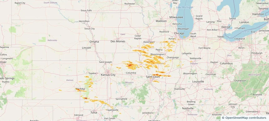
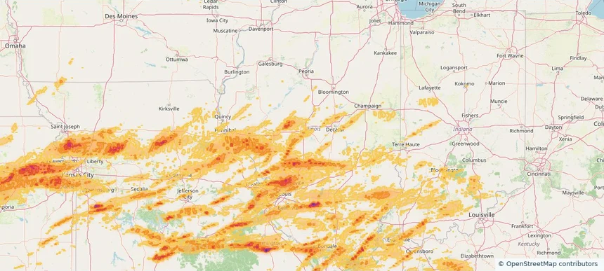
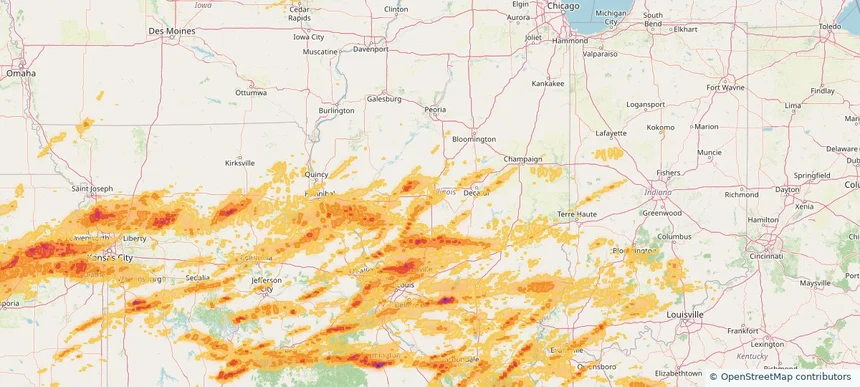
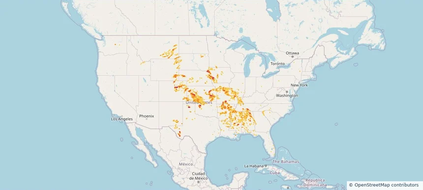
Nationwide Daily Hail, Wind & Tornado Map - May 18, 2026 — regional hail footprint preview
Storm footprint preview
May 17, 2026 10:00 PM to May 19, 2026 2:00 AM CST

Nationwide Daily Hail, Wind & Tornado Map - May 18, 2026

Hail as large as 2.75 inches was reported near Sheridan, MO. Wind up to 106 mph was reported near 3 miles east of Jarbalo, KS. 38 tornadoes were reported, including one near 2 miles south of Wesley, IA. The storm had 53 official hail reports.

Affected states: National, AR, CO, FL, IL, IN, IA, KS, KY, MD, MI, MN, MO, NE, OH, OK, PA, SD, TX, VA, WV, WI
2.79 inRadar size estimate 1,173,439Population Affected 529,475Houses Affected Hail · Wind · TornadoHazards FreeAccount signup
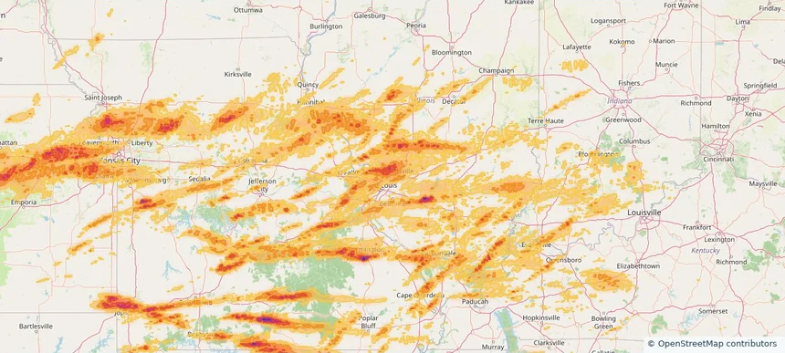
Nationwide Daily Hail, Wind & Tornado Map - May 16, 2026 — regional hail footprint preview
Storm footprint preview
May 15, 2026 10:00 PM to May 17, 2026 2:00 AM CST

Nationwide Daily Hail, Wind & Tornado Map - May 16, 2026

Hail as large as 3.00 inches was reported near 4 miles west of Amherst, NE. Wind up to 104 mph was reported near Concordia, KS. 10 tornadoes were reported, including one near 4 miles east-southeast of Benton, WI. The storm had 46 official hail reports.

Affected states: National, AR, CO, FL, IL, IN, IA, KS, KY, MI, MS, MO, NE, NY, OH, OK, WA, WI, WY
4.09 inRadar size estimate 881,870Population Affected 393,969Houses Affected Hail · Wind · TornadoHazards FreeAccount signup
Nationwide Daily Hail, Wind & Tornado Map - May 15, 2026 — regional hail footprint preview
Storm footprint preview
May 14, 2026 10:00 PM to May 16, 2026 2:00 AM CST

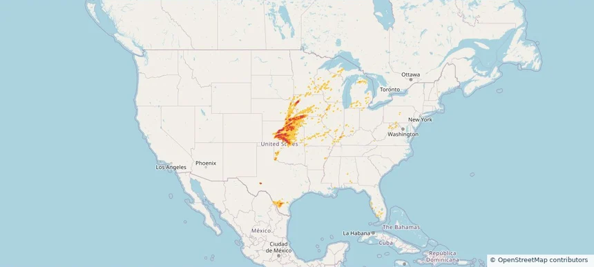
Nationwide Daily Hail, Wind & Tornado Map - May 15, 2026

Hail as large as 2.50 inches was reported near Kanawha, IA. Wind up to 97 mph was reported near 1 mile west-southwest of Seagraves, TX. A tornado was reported near 4 miles east-southeast of Benton, WI. The storm had 26 official hail reports.

Affected states: National, FL, IL, IA, KS, MN, MS, MO, NE, NM, ND, OK, TX, WI
3.5 inRadar size estimate 199,410Population Affected 93,693Houses Affected Hail · Wind · TornadoHazards FreeAccount signup
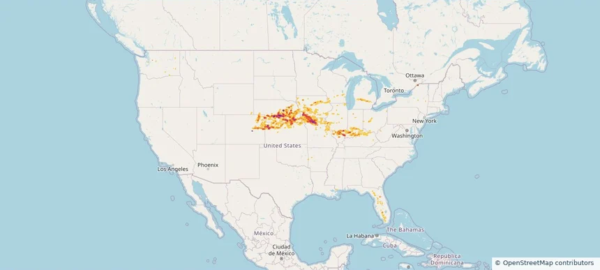
Nationwide Daily Hail & Wind Map - May 14, 2026 — regional hail footprint preview
Storm footprint preview
May 13, 2026 10:00 PM to May 15, 2026 2:00 AM CST

Nationwide Daily Hail & Wind Map - May 14, 2026

Hail as large as 1.50 inches was reported near 1 mile north-northwest of Clay Center, KS. Wind up to 82 mph was reported near 2 miles northeast of Dimmitt, TX. The storm had 3 official hail reports.

Affected states: National, CO, IL, KS, MO, MT, NE, NM, NY, ND, OH, TX, WY
2.5 inRadar size estimate 9,668Population Affected 4,369Houses Affected Hail · WindHazards FreeAccount signup
Alton, IL — May 04, 2026 — regional hail footprint preview
Storm footprint preview

Local hail summary for the Alton area: 0.26 square miles of estimated ground-hail footprint; highest mapped band 1+ inches. 0 official hail report(s) within the summary area. Exposure estimates are not confirmed property damage. Open the map to explore the full coverage included in your access. Statistics cover the mapped hail footprint inside the Census boundary of Alton, IL, not the entire region. The place had 25,676 residents in the 2020 Census. A boundary intersection does not mean the whole community was hit. Estimated housing exposure: 122 units in 1-inch-or-larger bands, including 0 in 1.5-inch-or-larger bands and 0 in 2-inch-or-larger bands.

Affected states: Alton area, IL
1+ inRadar size estimate 347Population Affected 122Houses Affected HailHazards FreeAccount signup
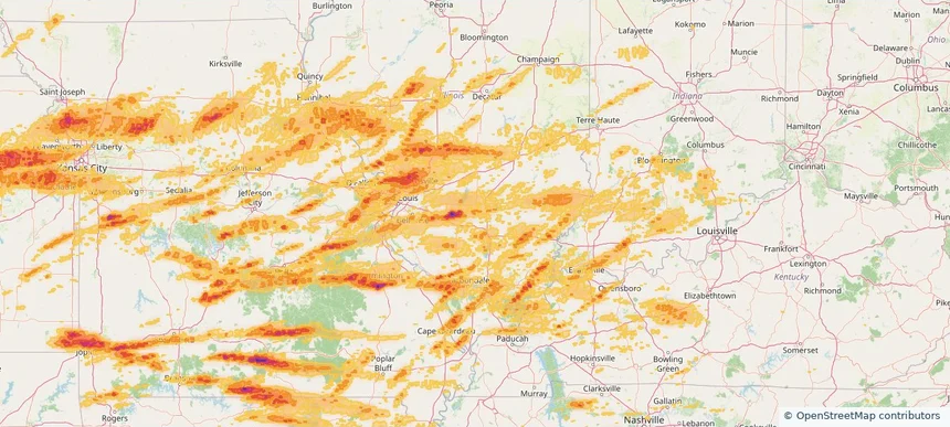
Nationwide Daily Hail, Wind & Tornado Map - April 28, 2026 — regional hail footprint preview
Storm footprint preview
Apr 27, 2026 10:00 PM to Apr 29, 2026 2:00 AM CST

Nationwide Daily Hail, Wind & Tornado Map - April 28, 2026

Hail as large as 4.75 inches was reported near 5 miles southeast of Bois D'Arc, MO. Wind up to 89 mph was reported near 2 miles northwest of Lake Village, AR. 27 tornadoes were reported, including one near 2 miles south of Mooresville, IN. The storm had 99 official hail reports.

Affected states: National, AL, AR, GA, IL, IN, KS, KY, LA, MS, MO, NY, OH, OK, TN, TX
3.5 inRadar size estimate 2,918,420Population Affected 1,243,071Houses Affected Hail · Wind · TornadoHazards FreeAccount signup
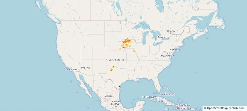
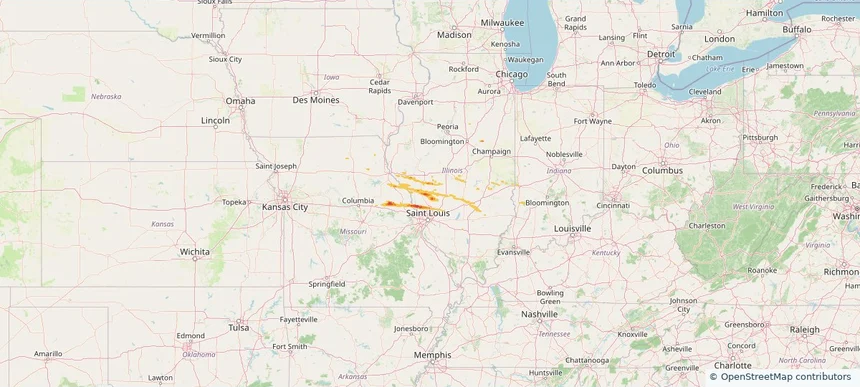
Alton, IL — April 27, 2026 — regional hail footprint preview
Storm footprint preview

Local hail summary for the Alton area: 16.96 square miles of estimated ground-hail footprint; highest mapped band 1.5+ inches. 2 official hail report(s) within the summary area. Exposure estimates are not confirmed property damage. Open the map to explore the full coverage included in your access. Statistics cover the mapped hail footprint inside the Census boundary of Alton, IL, not the entire region. The place had 25,676 residents in the 2020 Census. A boundary intersection does not mean the whole community was hit. Estimated housing exposure: 12,771 units in 1-inch-or-larger bands, including 11,178 in 1.5-inch-or-larger bands and 0 in 2-inch-or-larger bands.

Affected states: Alton area, IL
1.5+ inRadar size estimate 25,239Population Affected 12,771Houses Affected HailHazards FreeAccount signup
Belleville, IL — April 27, 2026 — regional hail footprint preview
Storm footprint preview

Local hail summary for the Belleville area: 6.97 square miles of estimated ground-hail footprint; highest mapped band 1+ inches. 1 official hail report(s) within the summary area. Exposure estimates are not confirmed property damage. Open the map to explore the full coverage included in your access. Statistics cover the mapped hail footprint inside the Census boundary of Belleville, IL, not the entire region. The place had 42,404 residents in the 2020 Census. A boundary intersection does not mean the whole community was hit. Estimated housing exposure: 1,218 units in 1-inch-or-larger bands, including 0 in 1.5-inch-or-larger bands and 0 in 2-inch-or-larger bands.

Affected states: Belleville area, IL
1+ inRadar size estimate 6,075Population Affected 2,345Houses Affected HailHazards FreeAccount signup
Centralia, IL — April 27, 2026 — regional hail footprint preview
Storm footprint preview

Local hail summary for the Centralia area: 6.49 square miles of estimated ground-hail footprint; highest mapped band 1+ inches. 0 official hail report(s) within the summary area. Exposure estimates are not confirmed property damage. Open the map to explore the full coverage included in your access. Statistics cover the mapped hail footprint inside the Census boundary of Centralia, IL, not the entire region. The place had 12,182 residents in the 2020 Census. A boundary intersection does not mean the whole community was hit. Estimated housing exposure: 2,344 units in 1-inch-or-larger bands, including 0 in 1.5-inch-or-larger bands and 0 in 2-inch-or-larger bands.

Affected states: Centralia area, IL
1+ inRadar size estimate 11,212Population Affected 5,475Houses Affected HailHazards FreeAccount signup
Chatham, IL — April 27, 2026 — regional hail footprint preview
Storm footprint preview

Local hail summary for the Chatham area: 6.58 square miles of estimated ground-hail footprint; highest mapped band 1+ inches. 0 official hail report(s) within the summary area. Exposure estimates are not confirmed property damage. Open the map to explore the full coverage included in your access. Statistics cover the mapped hail footprint inside the Census boundary of Chatham, IL, not the entire region. The place had 14,377 residents in the 2020 Census. A boundary intersection does not mean the whole community was hit. Estimated housing exposure: 4,041 units in 1-inch-or-larger bands, including 0 in 1.5-inch-or-larger bands and 0 in 2-inch-or-larger bands.

Affected states: Chatham area, IL
1+ inRadar size estimate 14,093Population Affected 5,742Houses Affected HailHazards FreeAccount signup
Edwardsville, IL — April 27, 2026 — regional hail footprint preview
Storm footprint preview

Local hail summary for the Edwardsville area: 10.81 square miles of estimated ground-hail footprint; highest mapped band 1+ inches. 0 official hail report(s) within the summary area. Exposure estimates are not confirmed property damage. Open the map to explore the full coverage included in your access. Statistics cover the mapped hail footprint inside the Census boundary of Edwardsville, IL, not the entire region. The place had 26,808 residents in the 2020 Census. A boundary intersection does not mean the whole community was hit. Estimated housing exposure: 744 units in 1-inch-or-larger bands, including 0 in 1.5-inch-or-larger bands and 0 in 2-inch-or-larger bands.

Affected states: Edwardsville area, IL
1+ inRadar size estimate 17,869Population Affected 7,084Houses Affected HailHazards FreeAccount signup
Glen Carbon, IL — April 27, 2026 — regional hail footprint preview
Storm footprint preview

Local hail summary for the Glen Carbon area: 6.97 square miles of estimated ground-hail footprint; highest mapped band 1+ inches. 1 official hail report(s) within the summary area. Exposure estimates are not confirmed property damage. Open the map to explore the full coverage included in your access. Statistics cover the mapped hail footprint inside the Census boundary of Glen Carbon, IL, not the entire region. The place had 13,842 residents in the 2020 Census. A boundary intersection does not mean the whole community was hit. Estimated housing exposure: 2,759 units in 1-inch-or-larger bands, including 0 in 1.5-inch-or-larger bands and 0 in 2-inch-or-larger bands.

Affected states: Glen Carbon area, IL
1+ inRadar size estimate 12,910Population Affected 5,164Houses Affected HailHazards FreeAccount signup
Godfrey, IL — April 27, 2026 — regional hail footprint preview
Storm footprint preview

Local hail summary for the Godfrey area: 9.67 square miles of estimated ground-hail footprint; highest mapped band 1.5+ inches. 1 official hail report(s) within the summary area. Exposure estimates are not confirmed property damage. Open the map to explore the full coverage included in your access. Statistics cover the mapped hail footprint inside the Census boundary of Godfrey, IL, not the entire region. The place had 17,825 residents in the 2020 Census. A boundary intersection does not mean the whole community was hit. Estimated housing exposure: 1,883 units in 1-inch-or-larger bands, including 33 in 1.5-inch-or-larger bands and 0 in 2-inch-or-larger bands.

Affected states: Godfrey area, IL
1.5+ inRadar size estimate 8,953Population Affected 4,288Houses Affected HailHazards FreeAccount signup
Marion, IL — April 27, 2026 — regional hail footprint preview
Storm footprint preview

Local hail summary for the Marion area: 7.12 square miles of estimated ground-hail footprint; highest mapped band 1+ inches. 0 official hail report(s) within the summary area. Exposure estimates are not confirmed property damage. Open the map to explore the full coverage included in your access. Statistics cover the mapped hail footprint inside the Census boundary of Marion, IL, not the entire region. The place had 16,855 residents in the 2020 Census. A boundary intersection does not mean the whole community was hit. Estimated housing exposure: 2,195 units in 1-inch-or-larger bands, including 0 in 1.5-inch-or-larger bands and 0 in 2-inch-or-larger bands.

Affected states: Marion area, IL
1+ inRadar size estimate 10,331Population Affected 5,393Houses Affected HailHazards FreeAccount signup
Springfield, IL — April 27, 2026 — regional hail footprint preview
Storm footprint preview

Local hail summary for the Springfield area: 10.46 square miles of estimated ground-hail footprint; highest mapped band 1+ inches. 0 official hail report(s) within the summary area. Exposure estimates are not confirmed property damage. Open the map to explore the full coverage included in your access. Statistics cover the mapped hail footprint inside the Census boundary of Springfield, IL, not the entire region. The place had 114,394 residents in the 2020 Census. A boundary intersection does not mean the whole community was hit. Estimated housing exposure: 310 units in 1-inch-or-larger bands, including 0 in 1.5-inch-or-larger bands and 0 in 2-inch-or-larger bands.

Affected states: Springfield area, IL
1+ inRadar size estimate 9,160Population Affected 3,981Houses Affected HailHazards FreeAccount signup
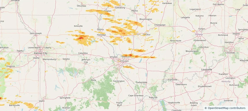
Wood River, IL — April 27, 2026 — regional hail footprint preview
Storm footprint preview

Local hail summary for the Wood River area: 7.23 square miles of estimated ground-hail footprint; highest mapped band 1.5+ inches. 0 official hail report(s) within the summary area. Exposure estimates are not confirmed property damage. Open the map to explore the full coverage included in your access. Statistics cover the mapped hail footprint inside the Census boundary of Wood River, IL, not the entire region. The place had 10,464 residents in the 2020 Census. A boundary intersection does not mean the whole community was hit. Estimated housing exposure: 4,933 units in 1-inch-or-larger bands, including 4,933 in 1.5-inch-or-larger bands and 0 in 2-inch-or-larger bands.

Affected states: Wood River area, IL
1.5+ inRadar size estimate 10,464Population Affected 4,933Houses Affected HailHazards FreeAccount signup
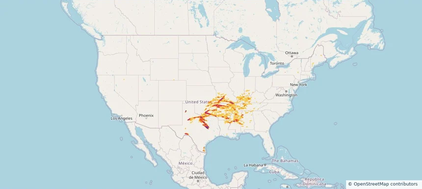
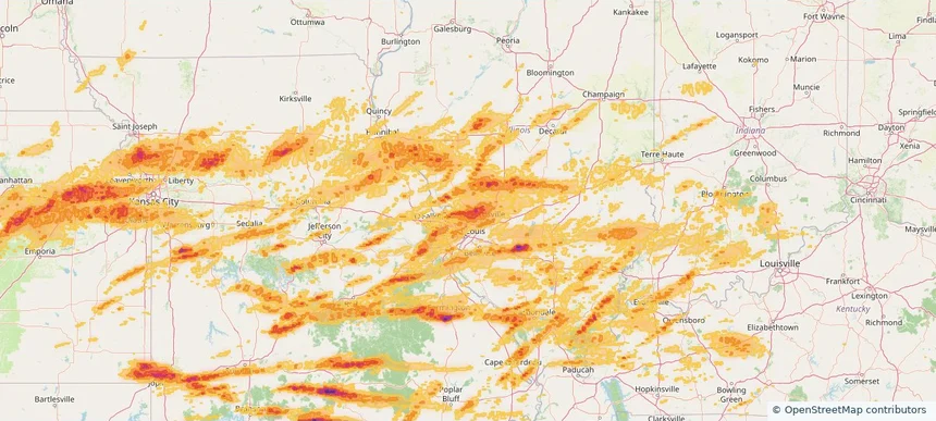
Nationwide Daily Hail, Wind & Tornado Map - April 27, 2026 — regional hail footprint preview
Storm footprint preview
Apr 26, 2026 10:00 PM to Apr 28, 2026 2:00 AM CST

Nationwide Daily Hail, Wind & Tornado Map - April 27, 2026

Hail as large as 4.00 inches was reported near 8 miles south-southwest of Piney Park, MO. Wind up to 92 mph was reported near Latham, IL. 33 tornadoes were reported, including one near Hallowell, KS. The storm had 117 official hail reports.

Affected states: National, AR, CO, FL, IL, IN, IA, KS, KY, MS, MO, MT, NE, NV, NY, OH, OK, TN, TX, WA, WI
3.0 inRadar size estimate 6,151,962Population Affected 2,684,634Houses Affected Hail · Wind · TornadoHazards FreeAccount signup
Belleville, IL — April 26, 2026 — regional hail footprint preview
Storm footprint preview

Local hail summary for the Belleville area: 6.97 square miles of estimated ground-hail footprint; highest mapped band 1+ inches. 1 official hail report(s) within the summary area. Exposure estimates are not confirmed property damage. Open the map to explore the full coverage included in your access. Statistics cover the mapped hail footprint inside the Census boundary of Belleville, IL, not the entire region. The place had 42,404 residents in the 2020 Census. A boundary intersection does not mean the whole community was hit. Estimated housing exposure: 1,218 units in 1-inch-or-larger bands, including 0 in 1.5-inch-or-larger bands and 0 in 2-inch-or-larger bands.

Affected states: Belleville area, IL
1+ inRadar size estimate 6,075Population Affected 2,345Houses Affected HailHazards FreeAccount signup
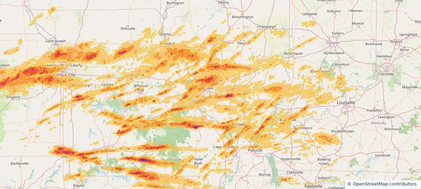
Page 10 of 18
‹ 1 9 10 11 18 ›

Frequently asked questions

Can I search hail maps by coverage area?

Yes. The storm library supports coverage-area filtering so you can find hail maps and hail swaths in a target service area.

What kinds of storms appear in the HailMapr library?

The library focuses on published hail events, including ready storm maps and live storms once hail has been detected and a public swath is available.

Are HailMapr storm pages useful for roofers and adjusters?

Yes. They are built to help roofers, adjusters, restoration teams, and property owners review storm footprints before purchase.